HomeDiagramsDatabaseMapsForum About
     

Go Back   SkyscraperPage Forum > Regional Sections > Canada


Closed Thread

 
Thread Tools Display Modes
     
     
  #5481  
Old Posted Oct 10, 2016, 12:56 AM
sonysnob sonysnob is offline
Registered User
 
Join Date: Aug 2011
Posts: 1,799
Quote:
Originally Posted by swimmer_spe View Post
Still cant beat the 4 stacks at 400&407 and 407&410
^ It's not a competition.

And that is a great pic of a neat looking road.
     
     
  #5482  
Old Posted Oct 10, 2016, 12:59 AM
swimmer_spe swimmer_spe is offline
BANNED
 
Join Date: Apr 2014
Posts: 10,743
Quote:
Originally Posted by sonysnob View Post
^ It's not a competition.

And that is a great pic of a neat looking road.
Not saying it is, but if it is a contest, I would say the old Turcot exchange is even more impressive.
     
     
  #5483  
Old Posted Oct 10, 2016, 2:48 PM
JHikka's Avatar
JHikka JHikka is offline
ハルウララ
 
Join Date: Jul 2009
Location: Toronto
Posts: 12,853
Quote:
Originally Posted by swimmer_spe View Post
Not saying it is, but if it is a contest, I would say the old Turcot exchange is even more impressive.
It's not a competition or a contest, though.
     
     
  #5484  
Old Posted Oct 10, 2016, 3:10 PM
speedog's Avatar
speedog speedog is offline
Moran supreme
 
Join Date: Sep 2010
Posts: 2,579
Quote:
Originally Posted by swimmer_spe View Post
Still cant beat the 4 stacks at 400&407 and 407&410
Maybe it does though.
__________________
Just a wee bit below average prairie boy in Canada's third largest city and fourth largest CMA
     
     
  #5485  
Old Posted Oct 10, 2016, 6:24 PM
Franco401 Franco401 is offline
Registered User
 
Join Date: Jan 2014
Location: Fredericton
Posts: 1,238
How about lets not let this thread become like the Skyline Thread where there's idiotic flamewars once a week about which city is the best.
     
     
  #5486  
Old Posted Oct 11, 2016, 12:13 PM
FrAnKs's Avatar
FrAnKs FrAnKs is offline
Registered User
 
Join Date: Jul 2005
Location: Ville de Québec / Quebec city
Posts: 5,930
Good morning everyone !

Here's my newest video, featuring Autoroutes 40, 73, 440, 540 and Route 368 thru Québec City !

You'll also see Pierre-Laporte Bridge aswell as Pont de l'île d'Orléans Bridge. Enjoy !

Video Link
__________________
PROVINCE OF QUEBEC ==> 9 050 000
MONTREAL METRO ==> 4 600 000
QUEBEC CITY METRO ==> 900 000
     
     
  #5487  
Old Posted Oct 11, 2016, 1:01 PM
MolsonExport's Avatar
MolsonExport MolsonExport is offline
Touching grass everyday.
 
Join Date: Oct 2003
Location: Otisburgh
Posts: 51,141
Another fantastic video. Brings back good memories: This past summer, my family and I stayed a week in Ste Anne de Beaupre, and we traveled those highways daily.
__________________
The whole problem with the world is that fools and fanatics are always so certain of themselves, and wiser people so full of doubts. (Bertrand Russell). Sweet Loretta fart thought she was a cleaner, but she was a frying pan. (John Lennon)
     
     
  #5488  
Old Posted Oct 11, 2016, 2:27 PM
Metro-One's Avatar
Metro-One Metro-One is online now
Registered User
 
Join Date: Sep 2008
Location: Japan
Posts: 17,921
Well, highway 99 in Van may become a contender if this plan goes through as shown.

Some recent model pics of the GM Tunnel replacement and highway 99 upgrade.

Quote:
Originally Posted by urbancanadian View Post
I was reading through tomorrow's Richmond City Council agenda and came across a couple things I thought were worth posting. Link to the agenda: http://www.richmond.ca/agendafiles/Open_Council_10-11-2016.pdf (31 mb)

First is a model of the bridge looking south, to go with the previously posted photos of the Steveston and Highway 17a interchanges:

http://www.richmond.ca/agendafiles/Open_Council_10-11-2016.pdf (page 39)

Renders of the bridge, showing the BC Hydro transmission lines to be built adjacent:

http://www.richmond.ca/agendafiles/Open_Council_10-11-2016.pdf (page 47)

Location of the transmission towers:

http://www.richmond.ca/agendafiles/Open_Council_10-11-2016.pdf (page 352)

Another pic of the bridge model, this time including the Steveston interchange:

http://www.richmond.ca/agendafiles/Open_Council_10-11-2016.pdf (page 40)

New angle of the Steveston interchange which was posted previously:

http://www.richmond.ca/agendafiles/Open_Council_10-11-2016.pdf (page 41)

Another angle, looking south:

http://www.richmond.ca/agendafiles/Open_Council_10-11-2016.pdf (page 42)

Looking south again, toward the Steveston bus station:

http://www.richmond.ca/agendafiles/Open_Council_10-11-2016.pdf (page 46)

This angle shows how high the stack will be compared to the developments next door:

http://www.richmond.ca/agendafiles/Open_Council_10-11-2016.pdf (page 43)
__________________
Bridging the Gap
Check out my Flickr: https://www.flickr.com/photos/30634635@N03/with/29495547810/ and Youtube channel https://www.youtube.com/channel/UCV0_0h9qKlhxXFxuAey_q6Q
     
     
  #5489  
Old Posted Oct 11, 2016, 4:30 PM
MolsonExport's Avatar
MolsonExport MolsonExport is offline
Touching grass everyday.
 
Join Date: Oct 2003
Location: Otisburgh
Posts: 51,141
all those wonderful lanes/interchanges (I lived in Steveston for 4 years, and I hated that tunnel). And then what happens when the highway leaves Lulu Island, and hits Granville/Oak streets? Bottleneck city.
__________________
The whole problem with the world is that fools and fanatics are always so certain of themselves, and wiser people so full of doubts. (Bertrand Russell). Sweet Loretta fart thought she was a cleaner, but she was a frying pan. (John Lennon)
     
     
  #5490  
Old Posted Oct 11, 2016, 10:18 PM
dmuzika dmuzika is offline
Registered User
 
Join Date: Feb 2006
Posts: 461
Quote:
Originally Posted by MolsonExport View Post
all those wonderful lanes/interchanges (I lived in Steveston for 4 years, and I hated that tunnel). And then what happens when the highway leaves Lulu Island, and hits Granville/Oak streets? Bottleneck city.
Would it help if they built a Y-interchange where traffic could take either Oak St or Knight St?
     
     
  #5491  
Old Posted Oct 11, 2016, 11:59 PM
swimmer_spe swimmer_spe is offline
BANNED
 
Join Date: Apr 2014
Posts: 10,743
Quote:
Originally Posted by MolsonExport View Post
all those wonderful lanes/interchanges (I lived in Steveston for 4 years, and I hated that tunnel). And then what happens when the highway leaves Lulu Island, and hits Granville/Oak streets? Bottleneck city.
Quote:
Originally Posted by dmuzika View Post
Would it help if they built a Y-interchange where traffic could take either Oak St or Knight St?
This is what happens when you don't build an expressway through your CBD. Not saying that Vancouver should have, or even should do so in the future, just showing the realities of not building one is not much better for traffic.
     
     
  #5492  
Old Posted Oct 12, 2016, 1:03 AM
FrAnKs's Avatar
FrAnKs FrAnKs is offline
Registered User
 
Join Date: Jul 2005
Location: Ville de Québec / Quebec city
Posts: 5,930
Quote:
Originally Posted by MolsonExport View Post
Another fantastic video. Brings back good memories: This past summer, my family and I stayed a week in Ste Anne de Beaupre, and we traveled those highways daily.
Thank you ! I'm sure you had a great time there

Also visited Charlevoix ?
__________________
PROVINCE OF QUEBEC ==> 9 050 000
MONTREAL METRO ==> 4 600 000
QUEBEC CITY METRO ==> 900 000
     
     
  #5493  
Old Posted Oct 12, 2016, 2:25 AM
Metro-One's Avatar
Metro-One Metro-One is online now
Registered User
 
Join Date: Sep 2008
Location: Japan
Posts: 17,921
Quote:
Originally Posted by MolsonExport View Post
all those wonderful lanes/interchanges (I lived in Steveston for 4 years, and I hated that tunnel). And then what happens when the highway leaves Lulu Island, and hits Granville/Oak streets? Bottleneck city.
Apparently according to traffic studies only 40% of the traffic using the current tunnel crosses Oak Street bridge.

Also, north of the models shown the highway narrows after the 99/91 interchange and it narrows again (with the bus lanes having their own flyover towards Bridgeport Skytrain Station) just before the Oak Street Bridge.

The models shown is by far the widest section of the proposed highway upgrade, which makes sense.

Also, as with all new BC bridges, there will be a toll.

__________________
Bridging the Gap
Check out my Flickr: https://www.flickr.com/photos/30634635@N03/with/29495547810/ and Youtube channel https://www.youtube.com/channel/UCV0_0h9qKlhxXFxuAey_q6Q
     
     
  #5494  
Old Posted Oct 12, 2016, 9:52 PM
Airboy Airboy is offline
Registered User
 
Join Date: Sep 2008
Location: Edmonton/St Albert
Posts: 9,782
http://www.cbc.ca/news/canada/british-columbia/yoho-national-park-twinning-1.3801928

Feds finally cough up the money for upgrades to the TCH through Yoho and for park upgrades.
__________________
Why complain about the weather? Its always going to be here. You on the other hand will not.
     
     
  #5495  
Old Posted Oct 13, 2016, 10:28 AM
Metro-One's Avatar
Metro-One Metro-One is online now
Registered User
 
Join Date: Sep 2008
Location: Japan
Posts: 17,921
Nice to see that they are finally starting to twin their sections in BC (think in total they have about 80KM of the TCH in federal parks in BC)

I know this is not Canada, but last weekend I went on a road trip.

I live on Japan's smallest major island (Shikoku) so I had to cross the Seto Bridge to go on my trip. It is only about 4 KM away from my house.

It is 13.1 KM long and has a 4 lane expressway on top with a railway deck below.

Here is a time-lapse video I made of my crossings (the toll varies generally between 20 dollars to 50 dollars depending on the day and vehicle).

Video Link
__________________
Bridging the Gap
Check out my Flickr: https://www.flickr.com/photos/30634635@N03/with/29495547810/ and Youtube channel https://www.youtube.com/channel/UCV0_0h9qKlhxXFxuAey_q6Q
     
     
  #5496  
Old Posted Oct 13, 2016, 2:33 PM
milomilo milomilo is offline
Registered User
 
Join Date: Dec 2013
Location: Calgary
Posts: 10,498
Quote:
Originally Posted by Airboy View Post
http://www.cbc.ca/news/canada/british-columbia/yoho-national-park-twinning-1.3801928

Feds finally cough up the money for upgrades to the TCH through Yoho and for park upgrades.
This still doesn't include the Kicking Horse River canyon section though, correct?
     
     
  #5497  
Old Posted Oct 13, 2016, 2:58 PM
jmt18325's Avatar
jmt18325 jmt18325 is offline
Heart of the Continent
 
Join Date: Apr 2009
Location: Winnipeg
Posts: 7,286
Quote:
Originally Posted by milomilo View Post
This still doesn't include the Kicking Horse River canyon section though, correct?
No, that's in provincial jurisdiction. The portion being twinned right now is 6 kms immediately west of the Alberta-BC boundary in Yoho National Park.
     
     
  #5498  
Old Posted Oct 13, 2016, 11:57 PM
srperrycgy's Avatar
srperrycgy srperrycgy is offline
I'm the bear on the right
 
Join Date: Jun 2004
Location: Calgary (Killarney)
Posts: 1,670
Southwest Calgary Ring Road

Hey folks, the Alberta Government has posted the documents and DBFO (Design, Build, Finance & Operate) agreement to the upcoming construction of the Southwest Calgary Ring Road / Alberta Highway 201. As with the other complete sections of the Ring Road, it will be called Stoney Trail. However, for the section through the Tsuut'ina First Nation, will be named Tsuut'ina Trail. Construction work is gearing up now and the entire 31km project must be open by October 1, 2021. The majority of the agreement is a very dry read, but before your eyes glaze over, there are some excellent drawings of the signage to be installed on the project:

http://www.transportation.alberta.ca/documents/SWCRR-Schedule18-AppE.pdf

Agreement with Schedules and Appendicies:

http://www.transportation.alberta.ca/6001.htm
__________________
Stevinder.
* * * * * *
     
     
  #5499  
Old Posted Oct 14, 2016, 12:37 AM
craner's Avatar
craner craner is offline
Go Tall or Go Home
 
Join Date: Mar 2007
Location: Calgary
Posts: 7,375
Quote:
Originally Posted by Airboy View Post
http://www.cbc.ca/news/canada/british-columbia/yoho-national-park-twinning-1.3801928

Feds finally cough up the money for upgrades to the TCH through Yoho and for park upgrades.
Lets hope this is the start of consistent funding and they can get at least the National Park sections twinned within 10 years. They will need to do more than 6 km sections to meet this timeframe.
     
     
  #5500  
Old Posted Oct 14, 2016, 2:54 AM
Klazu's Avatar
Klazu Klazu is offline
Registered User
 
Join Date: Apr 2012
Location: Above Metro Vancouver clouds
Posts: 10,397
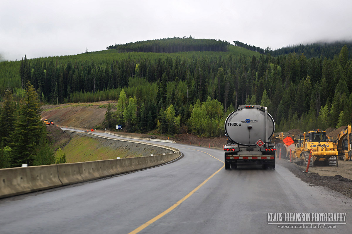
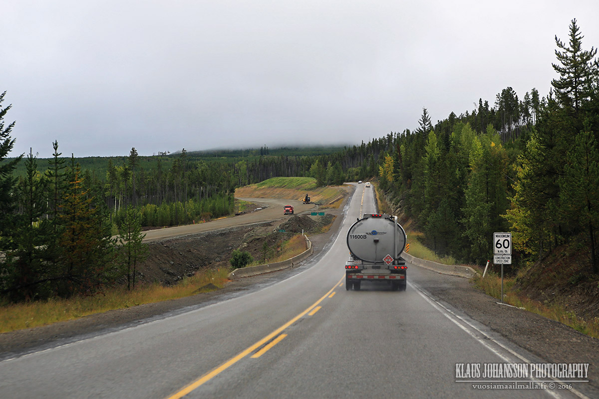
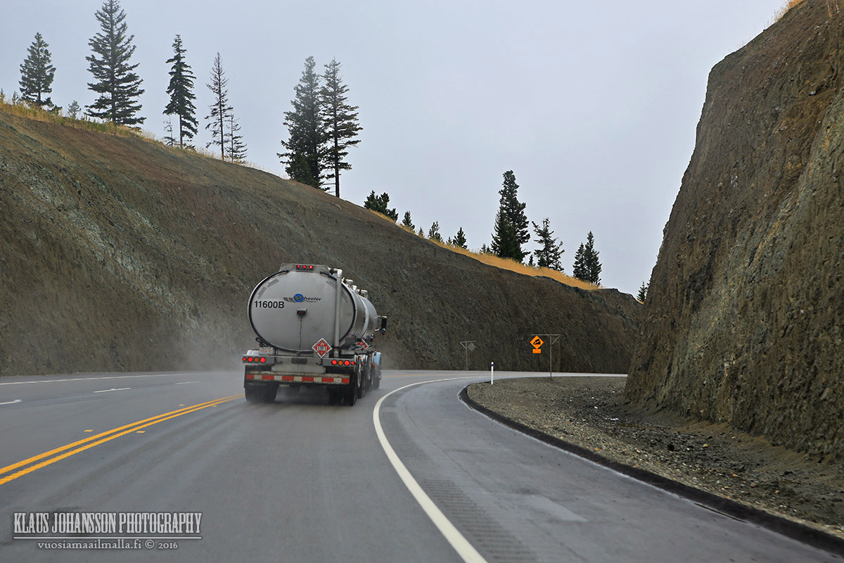
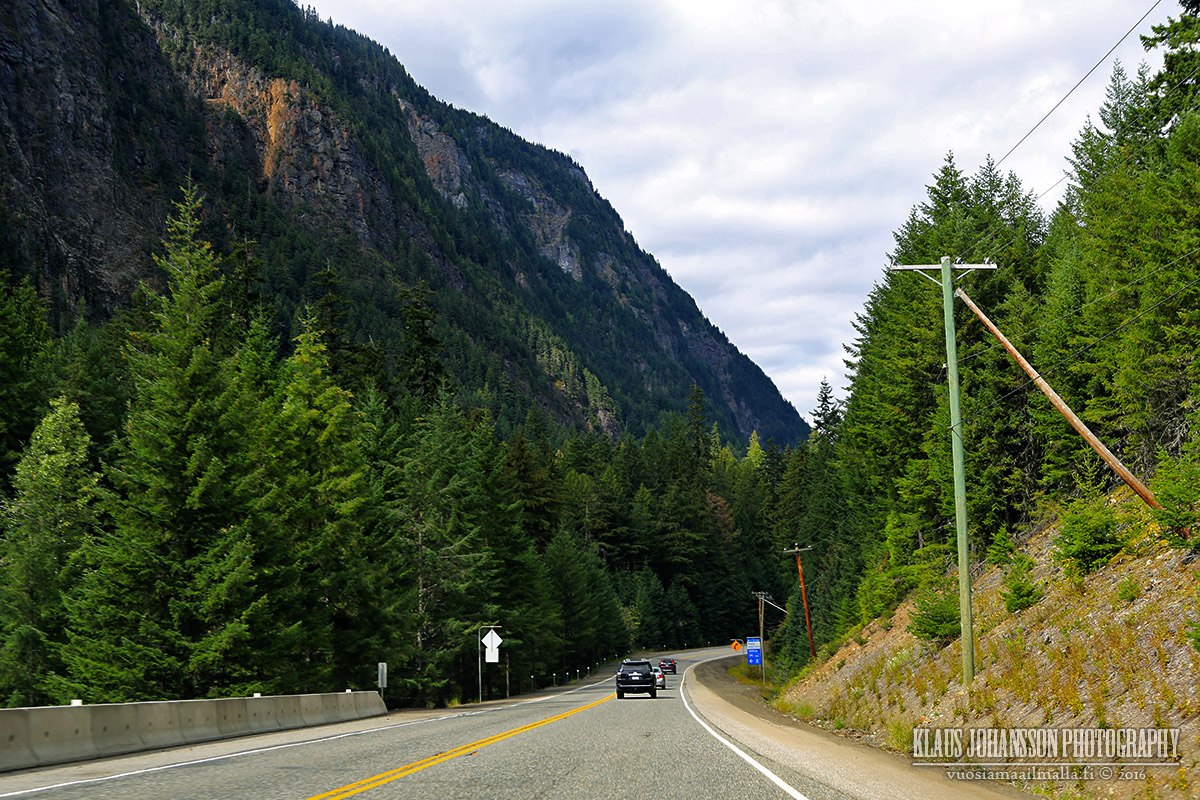
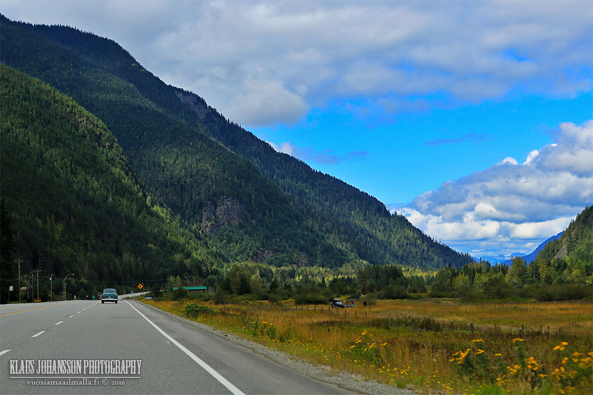
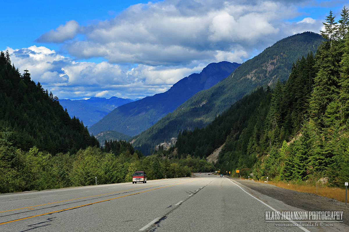
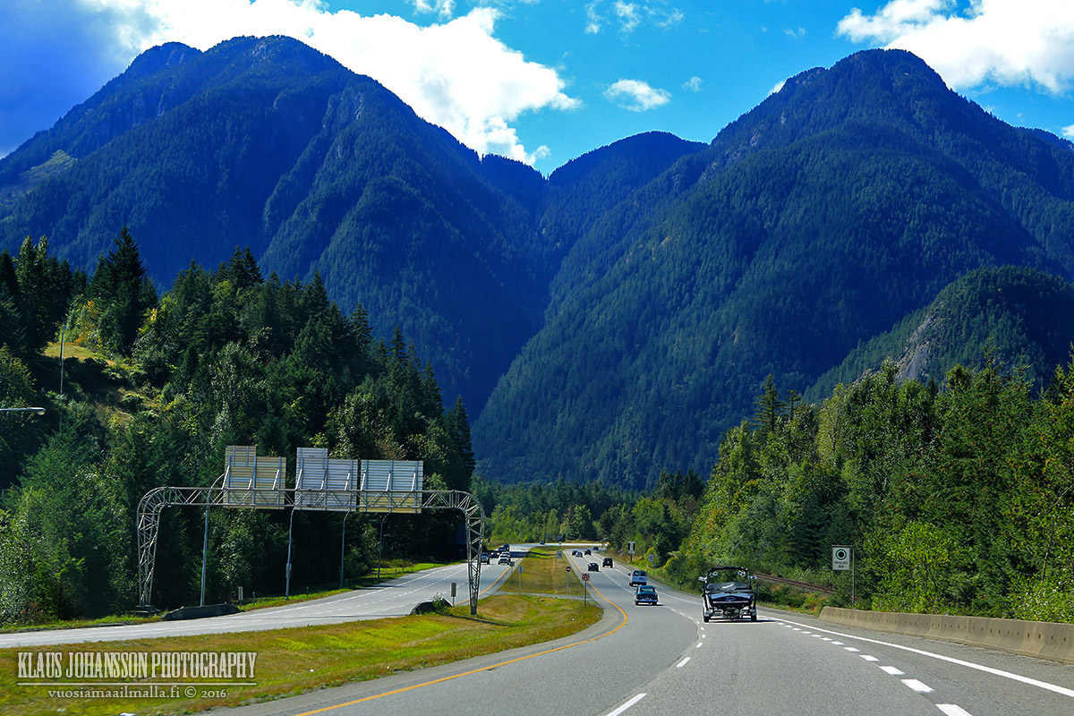
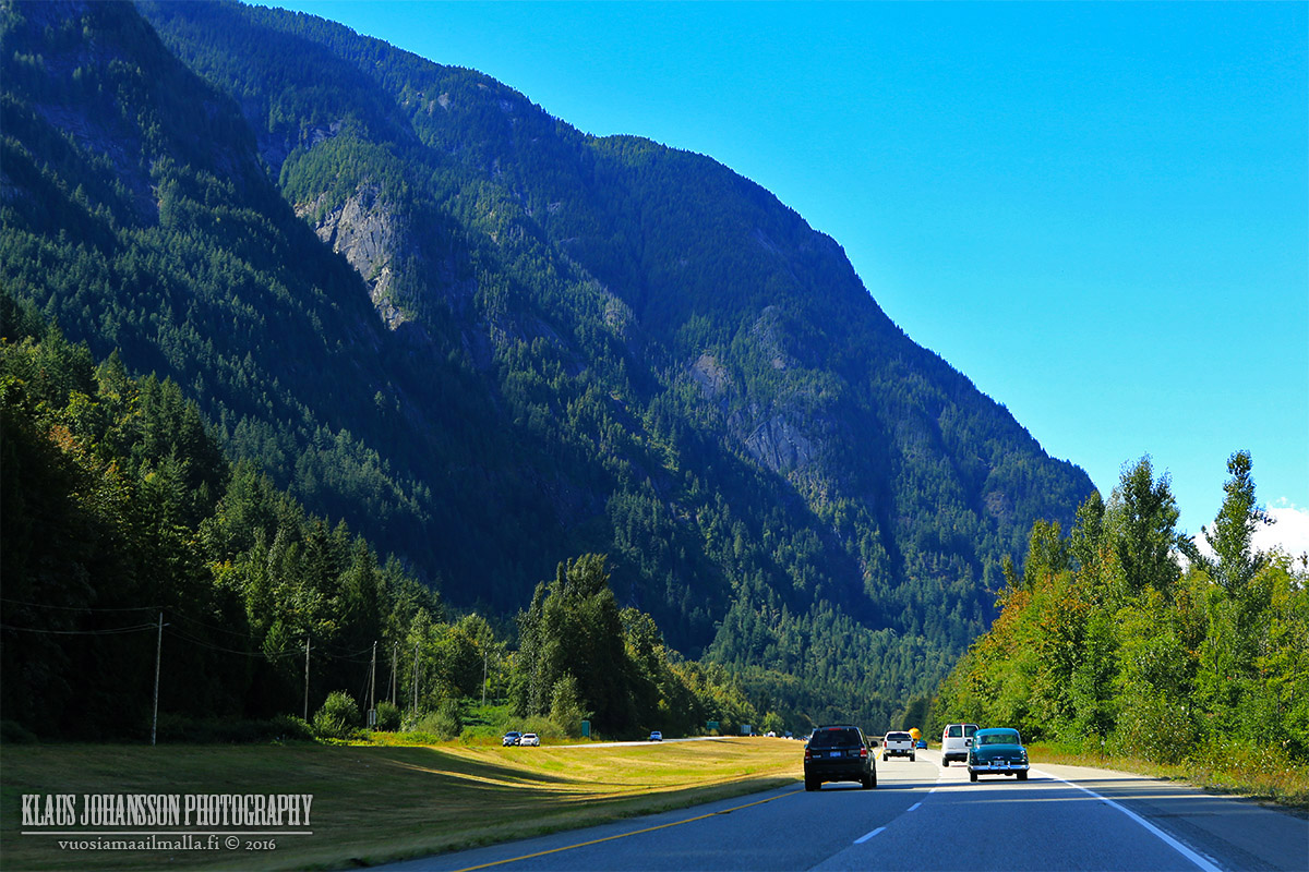
Highway 3 is the highway connecting the little town of Princeton with the Lower Mainland and Vancouver. It's a nice drive and there is quite a bit new road construction going on adding new passing lanes.


This discussion thread continues

Use the page links to the lower-right to go to the next page for additional posts
 
 
Closed Thread

Go Back   SkyscraperPage Forum > Regional Sections > Canada
Forum Jump


Forum Jump


All times are GMT. The time now is 10:50 PM.

     
SkyscraperPage.com - Privacy Statement - Top

Powered by vBulletin® Version 3.8.7
Copyright ©2000 - 2026, vBulletin Solutions, Inc.