Quote:
Originally Posted by Jebby

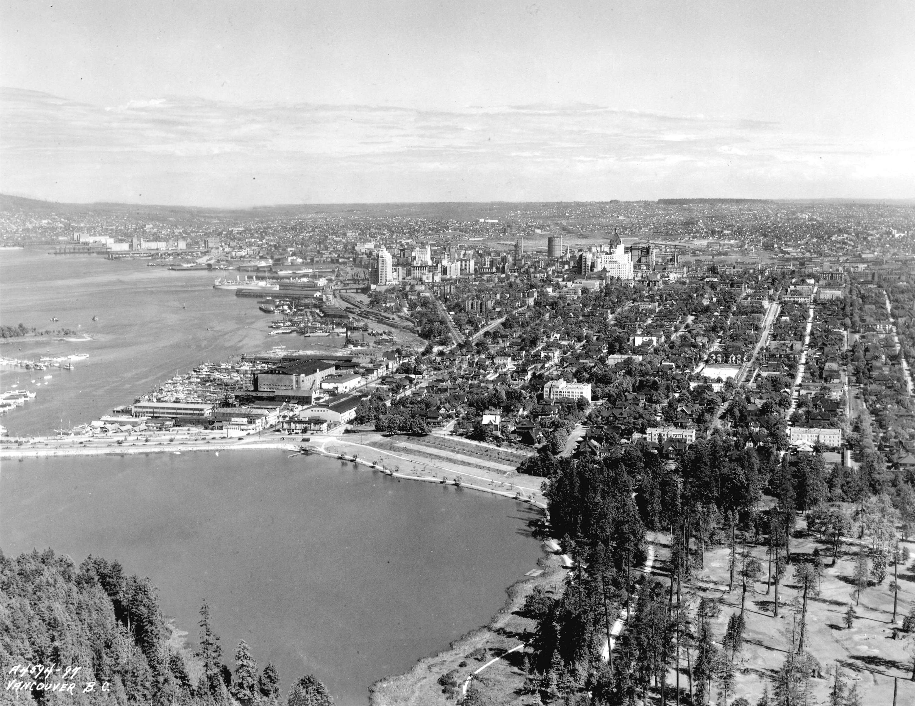
Beginning? If I'm not mistaken I see the current Hotel Vancouver in that shot, meaning it's post-1939. The Marine building is also there which was built in 1930.
|
Thanks. I didn't know the exact year when posting this, but was thinking it would be around that era. Although, you must admit that the view itself looks like it could as well be from the 19th century!

Considering that it's only 75 years old photo, it's truly remarkable to see how much this city has changed. I mean, there are still people alive that remember Vancouver looking like that, so just think how they may feel about this city having changed during their lifetime! It must be mindblowing!


 Prev
Prev


.jpg)
.jpg)
.jpg)
.jpg)


 Linear Mode
