Quote:
Originally Posted by HossC

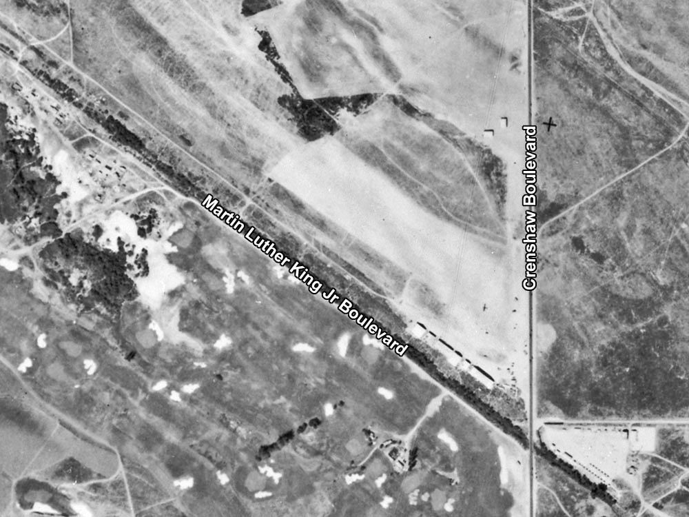
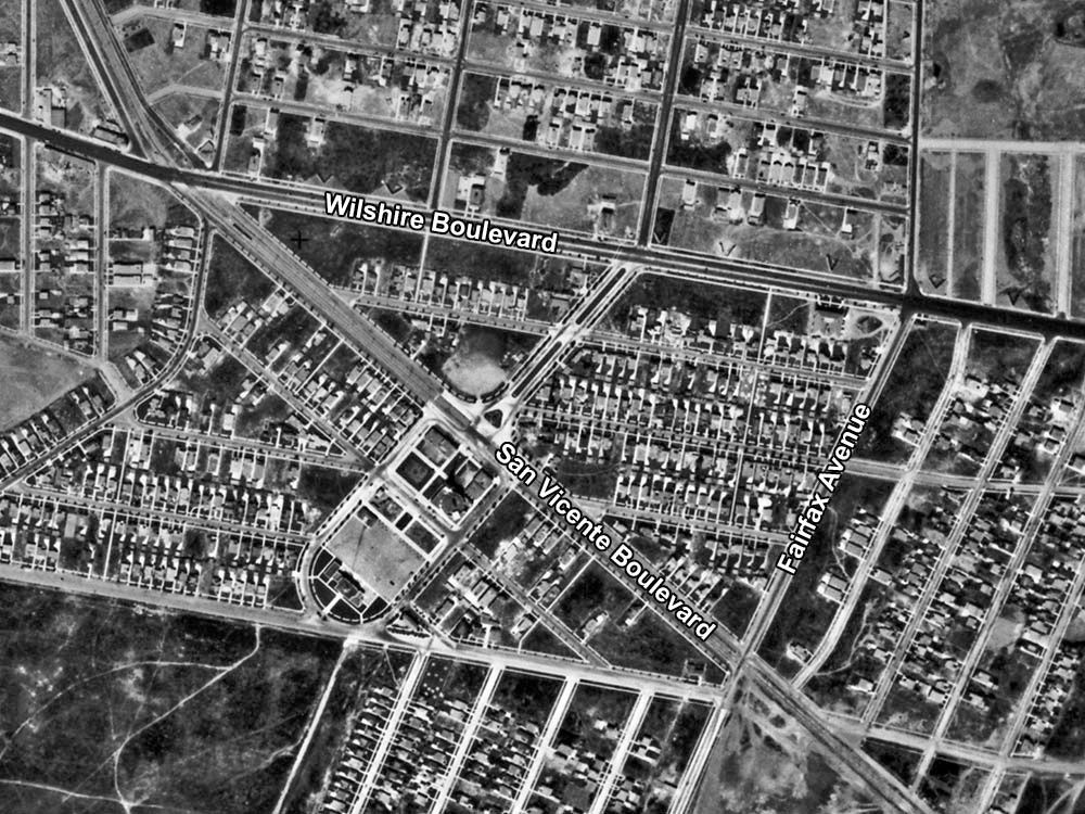
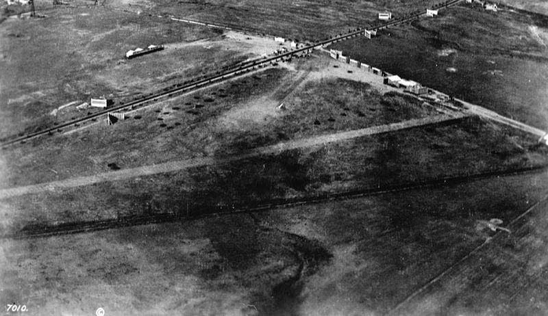
The site at Martin Luther King Jr Boulevard and Crenshaw (current names again) is also triangular, so that may have been what confused me. I can't see a defined runway in this 1927 view, but I think there's a single plane there.
 mil.library.ucsb.edu
 |
The line of buildings that ends about where the
d in MLK Jr Boulevard is . . . those are the buildings at Rogers Airport, which
I don't think ever got its runway paved. In fact, I don't think any of the five airports that once lined the west side of Crenshaw
between MLK on the south and Exposition on the north had a paved runway:
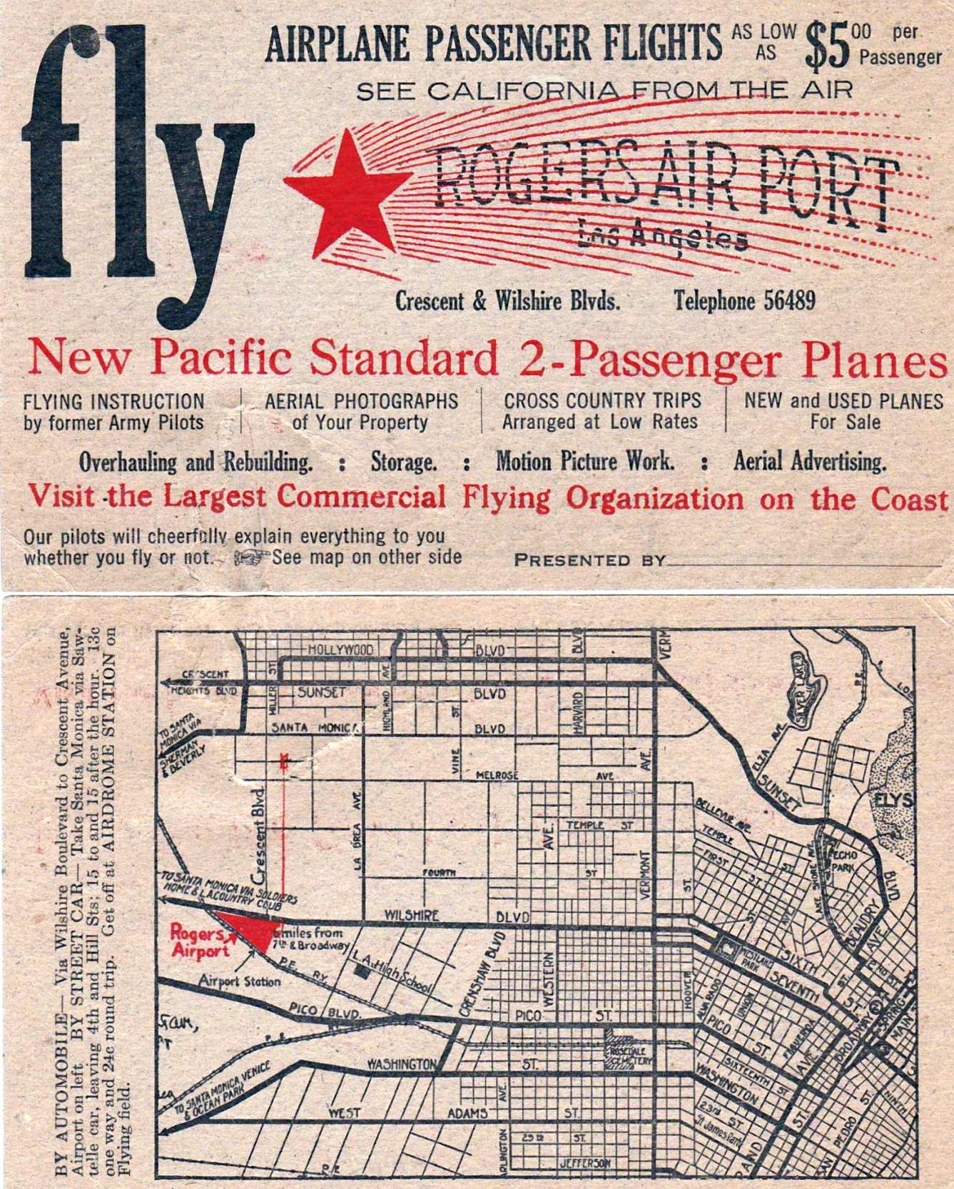
October 3, 1929, Department of Commerce Airway Bulletin No. 225 (Revised) for Rogers Airport @
Hathitrust
[
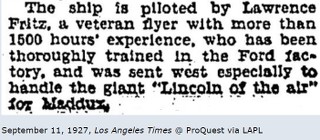
EDIT: A review of my files shows that a note in the December 30, 1928,
LA Times mentions that the field at Lincoln has been
"surfaced," but with what is not specified. My guess is the field was oiled, rather than paved with concrete.]
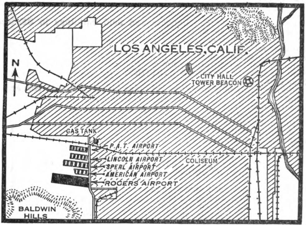
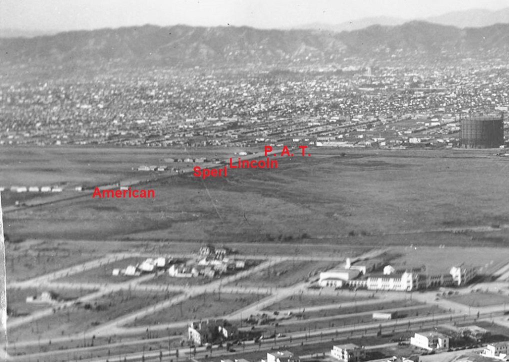
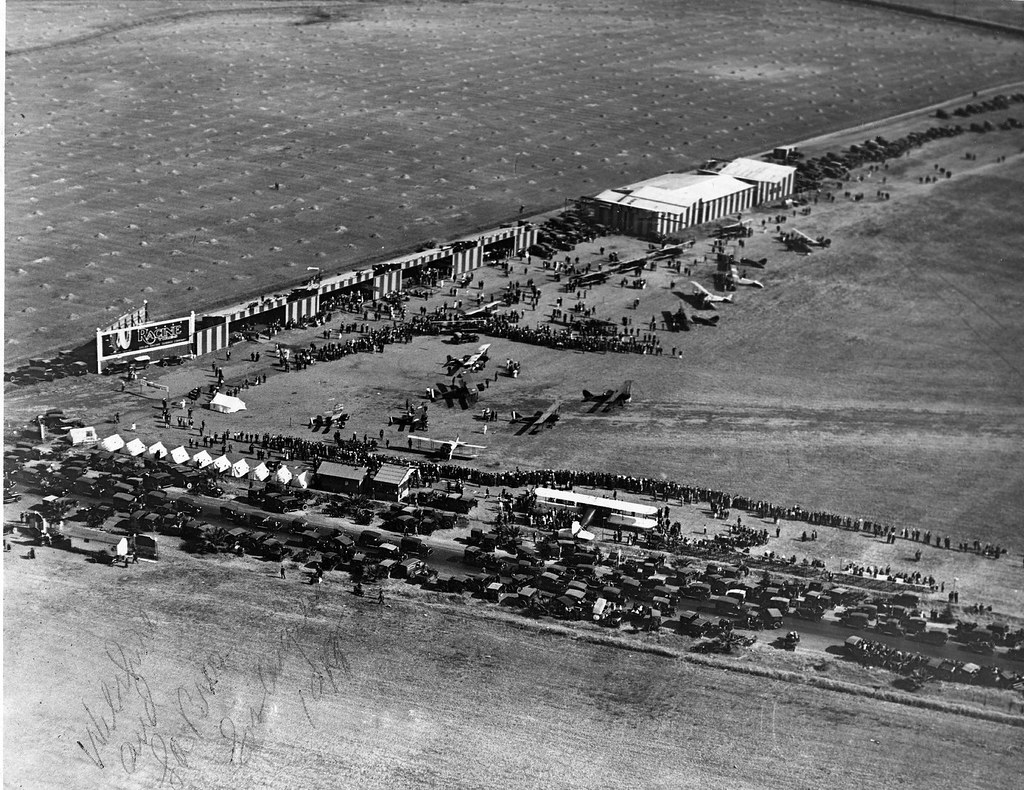
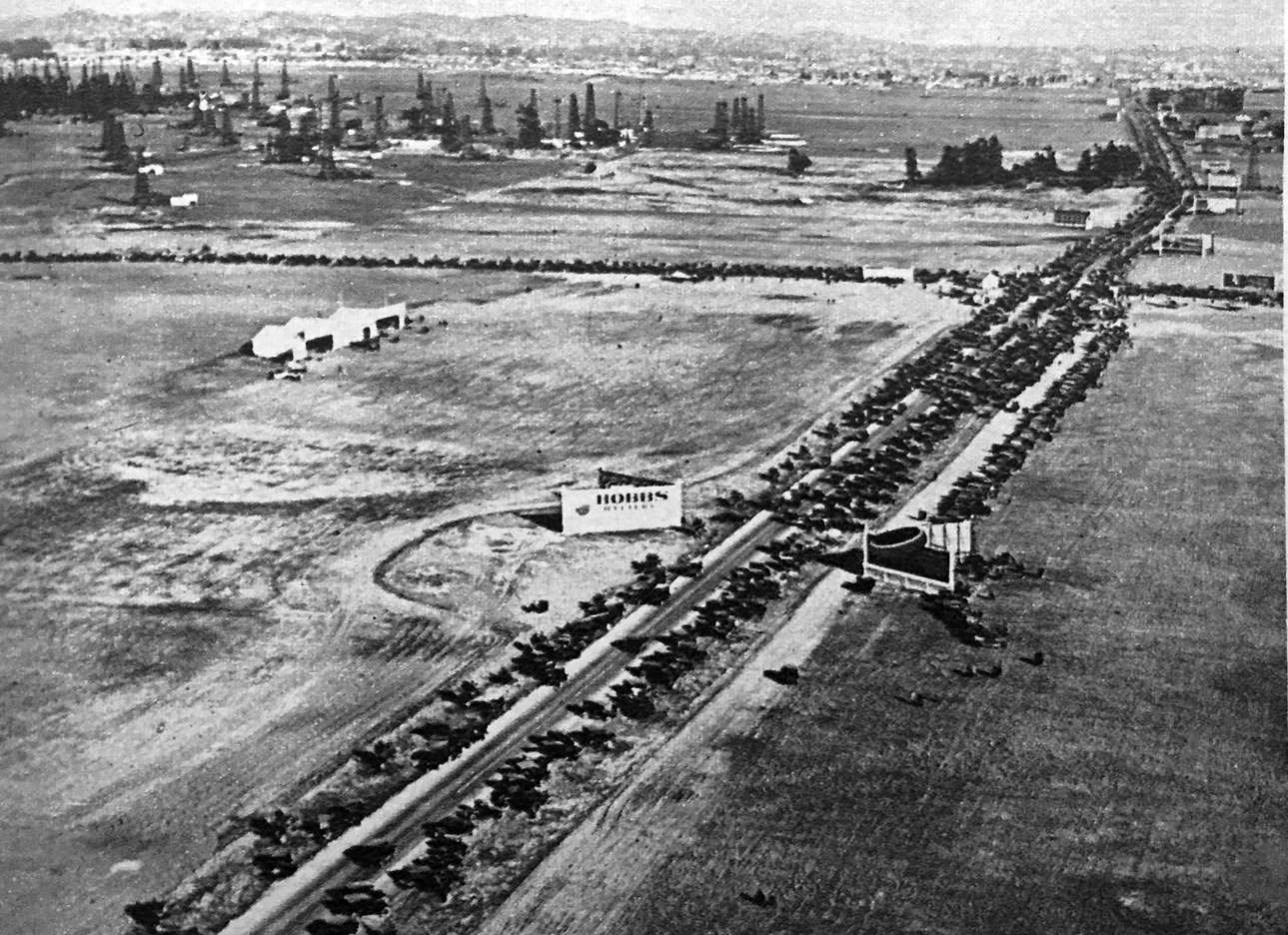
This 1929 image doesn't show Rogers Airport, but it shows the other four airports to the north (each row of buildings = one airport).
Above the lower right corner is Audubon Middle School, with Leimert Blvd. running diagonally near the bottom of the photo:
DW-10-206-5-ISLA at
USCDL
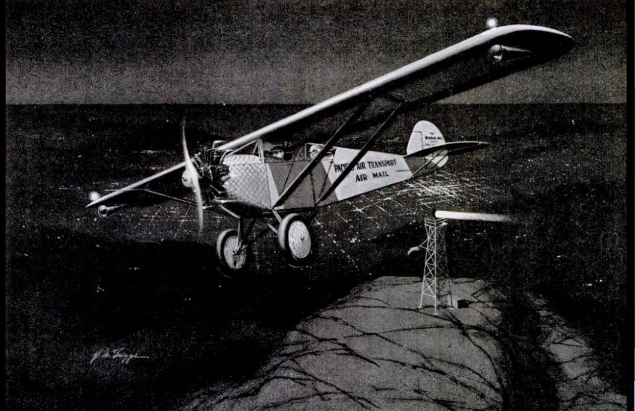
From what I've found, P. A. T. Airport (for Pacific Air Transport; initially called Ryan Airport) opened first, either in late 1925
or very early 1926. Rogers was next in April 1927. American was open by November 1927 (the August 21, 1927,
LA Times
describes P. A. T. and Rogers as being the only two open at the time). Lincoln was probably next (no later than May 1928),
but Sperl was definitely the last of the five to open, around October 1928.
There are a few more images that show the Baldwin Hills Rogers Airport
here.


 Prev
Prev


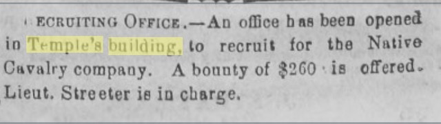
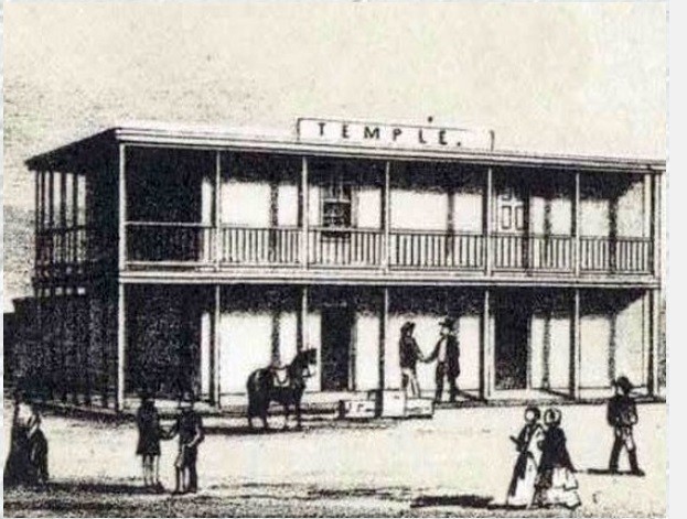
 This probably refers to one of the pseudo-military companies which were formed at the time to protect the community from bad guys.


 Linear Mode
