Quote:
Originally Posted by ethereal_reality

|
Quote:
Originally Posted by ethereal_reality

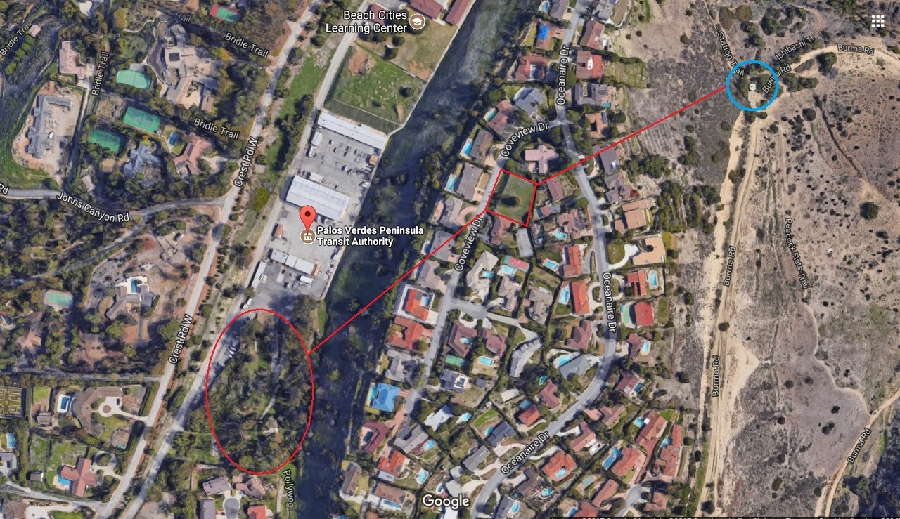
This tank is located down the hill on the other side and in a direct line with the old tank 'location' and the remains of Palos Verdes College.
NORTH is at left
google_earth |
The water tank circled in blue is on "Burma Road," which originally was built as an extension of Crenshaw Boulevard
from Crest Road down to Palos Verdes Drive South. The construction of Crenshaw reactivated an ancient landslide,
which destroyed much of the Portugese Bend Club (and other homes) and continues to plague that area of Palos Verdes.
Here are three views of the Portugese Bend Club taken on February 12, 1955; the first looks west with Palos Verdes
Drive South in the foreground. The club's pier is just east of Inspiration Point:
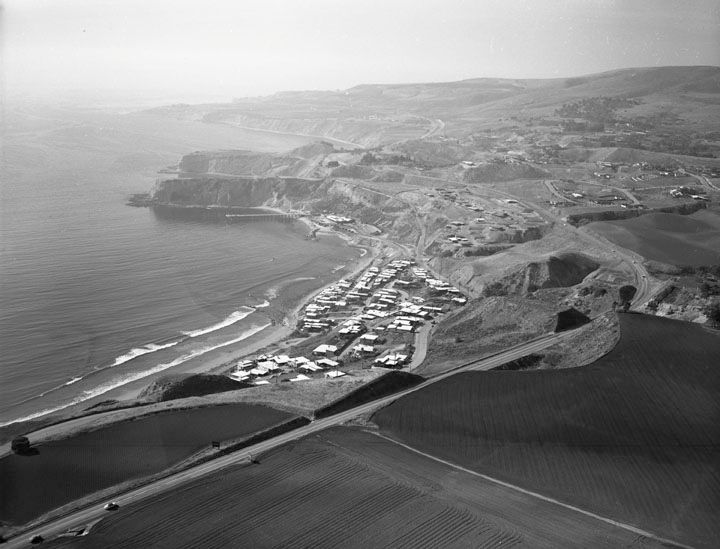
00088498 at
LAPL
This looks a little to the northwest:
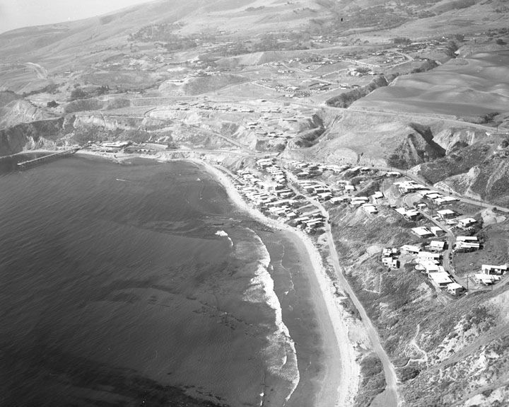
00088493 at
LAPL
Here's a closer shot of the pier and clubhouse, with "PBC" just above the parking lot:
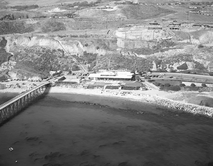
00088494 at
LAPL
This aerial was taken June 12, 1952, with north on the right.
Red dot = Intersection of Crest and Crenshaw
Green dot = Palos Verdes College (which I'd never heard of before, so thanks
e_r!)
Yellow dot = Inspiration Point (Portugese Bend Club pier is just below)
Blue dot = Palos Verdes Drive South
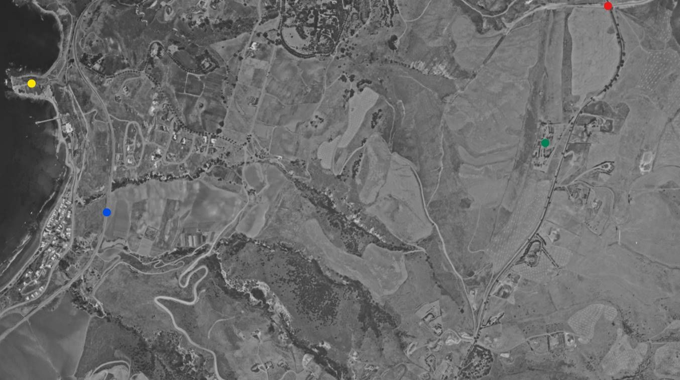
Flight imc-2062_2-92 at
UCSB
Crenshaw and its sweeping curves are under construction in this July 1, 1956 shot. Inspiration Point and the PBC pier
are cut off at upper left, and a sliver of the Palos Verdes College site is visible just above the right center edge. The
first landslide movement was observed August 17, 1956:

Flight c-22555_29-21 at
UCSB
May 1, 1960. You can see below and left of center where the roadway was lost to the landslide. Some homes south of
PV Drive South have been removed:

Flight c-23870_514 at
UCSB
April 14, 1983. Inspiration Point is still at upper left, but the PBC pier, clubhouse, and many homes are gone.
Palos Verdes Drive South bends out toward the ocean below and to the right of Inspiration Point:
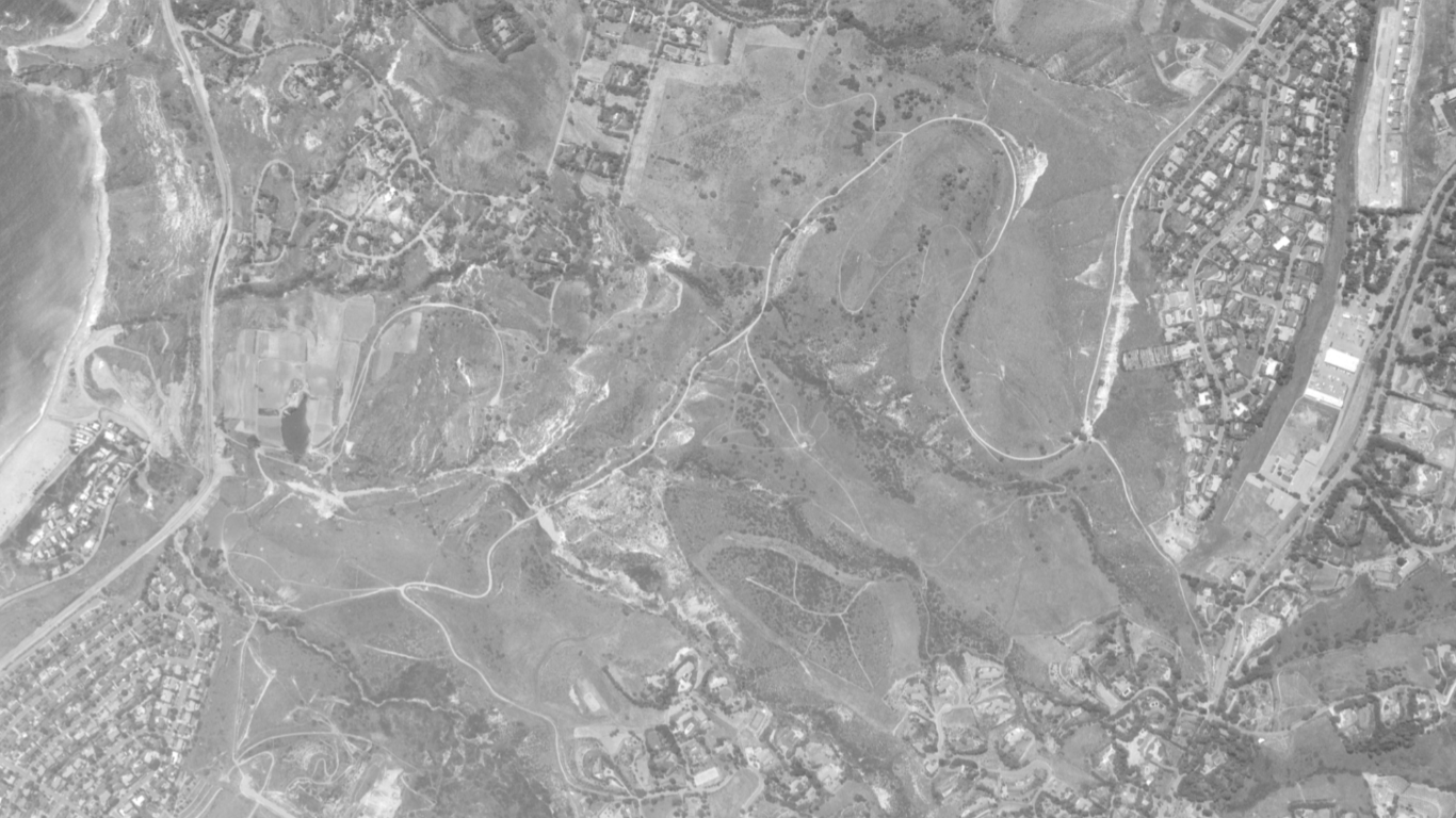
Flight ami-la-83_11591 at
UCSB
Today:
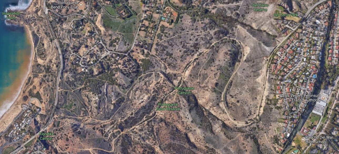
Googlemap Aerial
Read more about the landslide
here,
here, and
here.


