Quote:
Originally Posted by JHikka

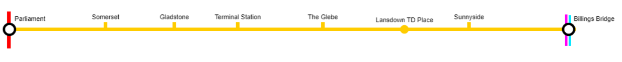
I get the benefit of both proposals. If I had to lean one way (in this fantasy thread) it would be to keep the line primarily on the Bank corridor so it can spur direct TOD and density along Bank rather than pushing it off and to the west. Bank & Heron is much more dense than it was five years ago, with more to come, and neglecting that by a KM or so would be a bit of a miss IMO.
|
If it is a fantasy thread, then why be limited to existing (or former) ROWs at all? You could bulldoze through any building you wanted to achieve your ultimate system. I prefer to keep my fantasies grounded on some sense of plausibility (even if still unlikely).
Quote:
Originally Posted by JHikka
I think Billings should be the major transfer spot but that's an aside.
|
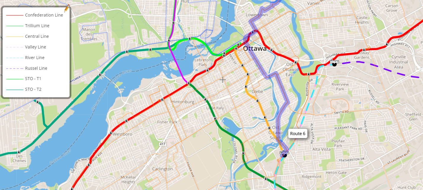
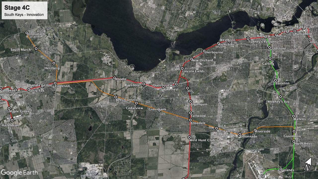
The problem is that the Trillium line doesn't go to Billings Bridge.
Quote:
Originally Posted by Kitchissippi
The sad thing is that there used to be rails along what is now Glenhaven Private. Traces of ROW are still evident on google maps and almost makes a beeline to Billings before it curves into Lamira Street where it merges into the current VIA tracks. A Bank Street line could have used this ROW to get towards the Airport.
|
I mentioned that in a previous post:
Quote:
Originally Posted by roger1818
It would be significantly more expensive to extend a theoretical Bank Street Subway straight down Bank street than it would be to follow the existing Transitway/Trillium line corridor between Billings Bridge and Greenboro. Yes there is an abandoned ROW, but significant portions of it have been built over and it never did go to Billings Bridge (it split closer to Pleasant Park).
As a result, the question becomes is the benefit of having a stop at Bank and Herron outweigh the cost of the extra tunneling?
|
While your route looks nice on a map, when you
switch to satellite view and zoom in, you realize you are going under (or over):
- The entrance for a residence hotel (with underground parking),
- 15 multi-unit townhomes,
- a strip mall, and
- the rear parking lot and loading bay for several other stores.
- (plus there looks like from Street View (Sept. 2019), a new multistory building is being (or was) built adjacent to the ROW on Heron. I'm not sure how they will be using the ROW (if at all)).
That means cut and cover would be expensive in expropriation costs, boring would just be expensive (despite what Elon Musk says) and elevated would also have significant expropriation costs and risk significant legal costs from the hotel fighting against trains running a few meters from their windows.
Once again, I have to question, do the benefits of this route outweigh the costs?


 Prev
Prev


 The idea of a Bank Street line is already not that realistic.


 Linear Mode
