I've studied Phoenix's more developed core extensively. Using 2000 census data, Phoenix's corporate city limits covered 555 square miles and had a population of 1.324 million, with a per capita income of about $19,833. Using the Phoenix city government's Village maps and data, I've been able to remove most of the more suburban, wealthy neighborhoods from the more dense, poorer core, which yields the following contrasts:
Inner City: 153 square miles, population 712,648, per capita income $14,314.
Suburbs: 402 square miles, population 611,964, per capita income $26,260.
Inner City density: 4,658 people per square mile
Suburb density: 1,522 people per square mile
Note the inner city numbers includes our airport, Sky Harbor, which is vast, so the true population density of Phoenix's core (which roughly approximates the city limits of Phoenix from 1960 to 1975 or so) is more like 6,000 people per square mile.
Mind you, this does not include any of the approximately 3 million people who live in Phoenix's true suburbs, such as Mesa, Tempe, Glendale, Gilbert, Chandler, Peoria and so on.
The inner city of Phoenix above would be about 60% Hispanic and overwhelming blue in political nature. Probably about two-thirds of Phoenix's gay and lesbian population of 100,000 to 200,000 resides in that core as well, including myself and almost all of my friends.
This same area in 1950 would have had about 200,000 people, give or take. It probably reached 400,000 by 1970 and 600,000 by 1990.
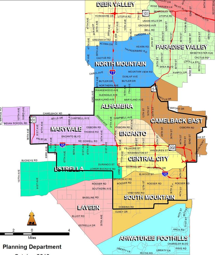
Hope this helps. Here's the map, and the black borders roughly correlates to the numbers I provided above:
--don


 Prev
Prev


 Linear Mode
