I can't let sleeping dogs lie.
Quote:
|
Originally Posted by ethereal_reality
"Is this an entrance to a venue or just a side street all gussied up"?
|
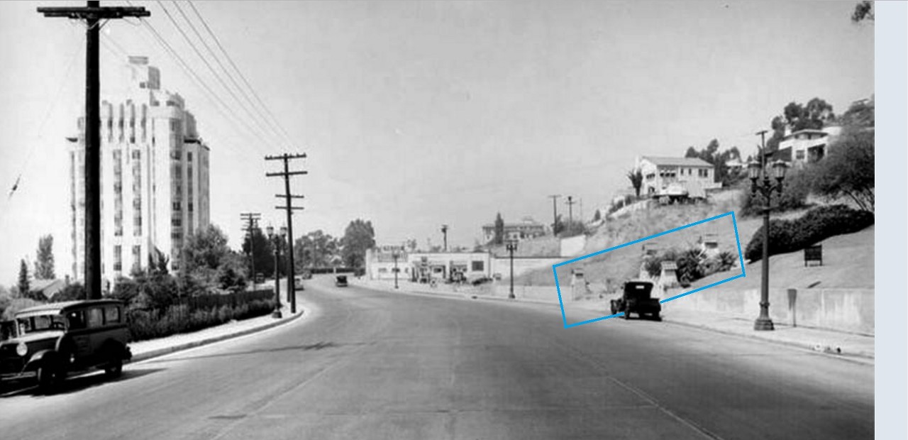
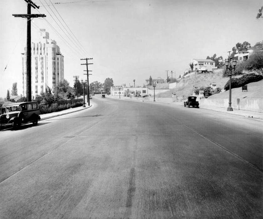
early 1930s / detail of photo posted by
HossC
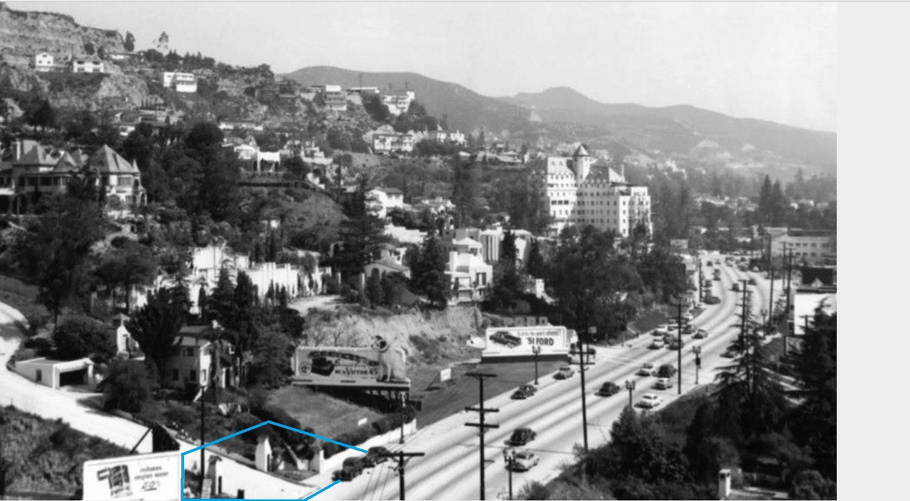
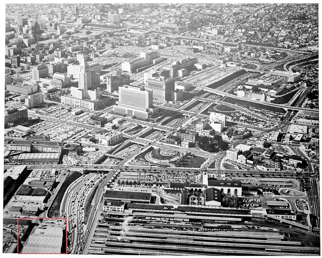
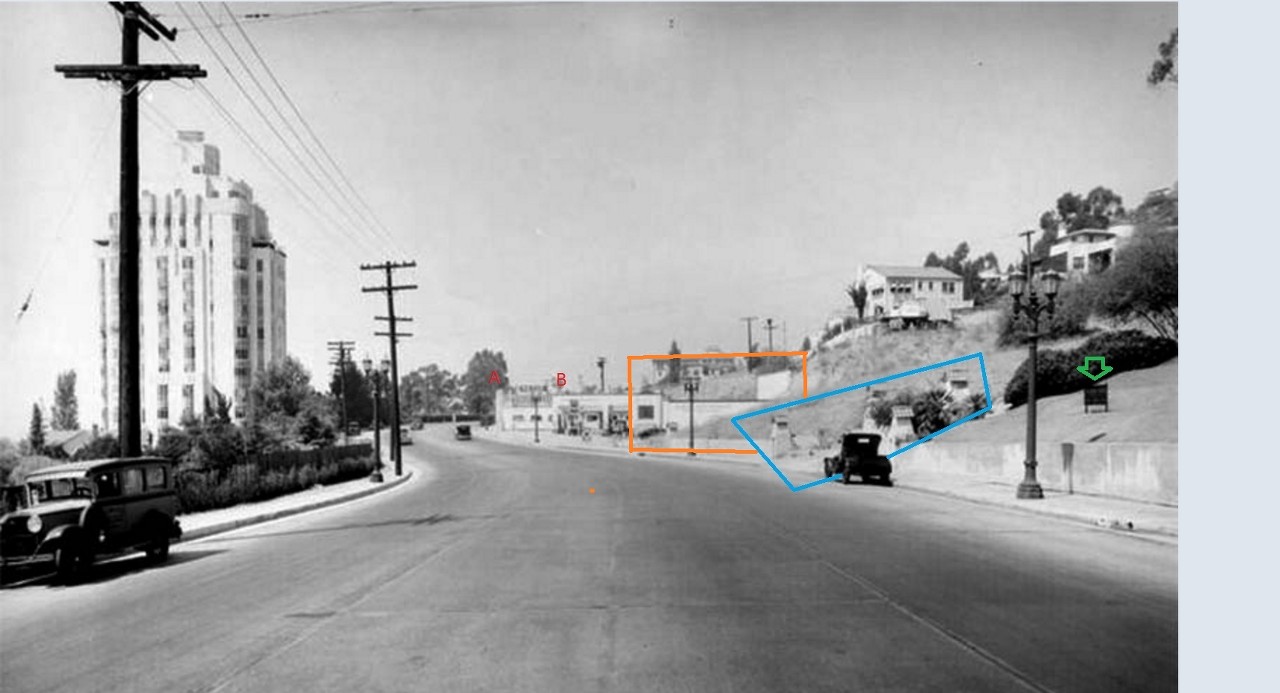
In this image (possibly taken from the top of the Sunset Tower) from around 1950, the street 'markers' are still in place.
 http://www.playgroundtothestars.com/tag/mt-kalmia/
 (probably a repeat on NLA)
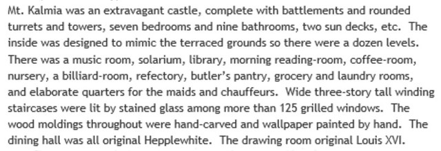
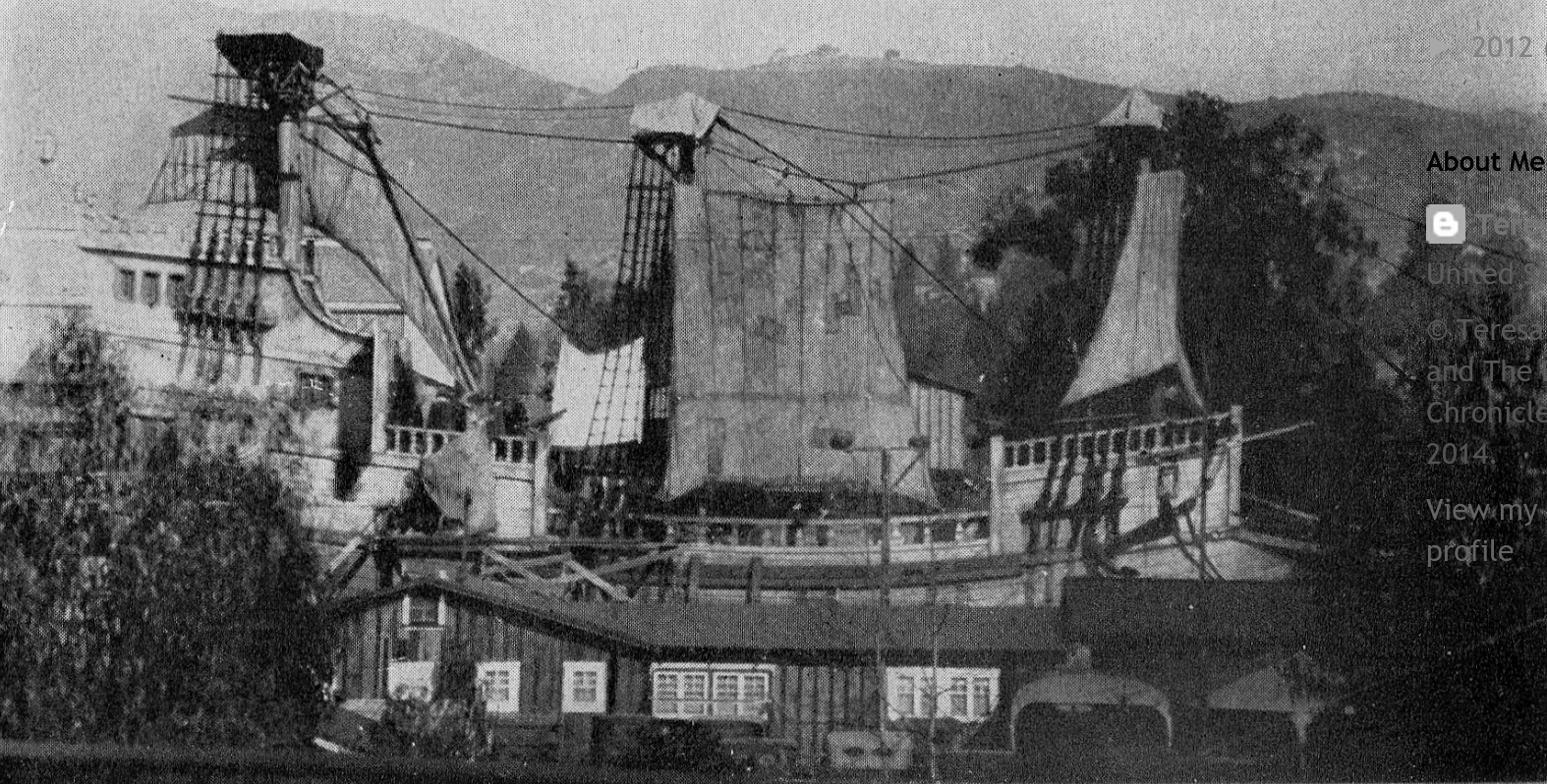
This is one of the better images that I've seen of Mount Kalmia (Sweetzer Castle).
As a reminder.
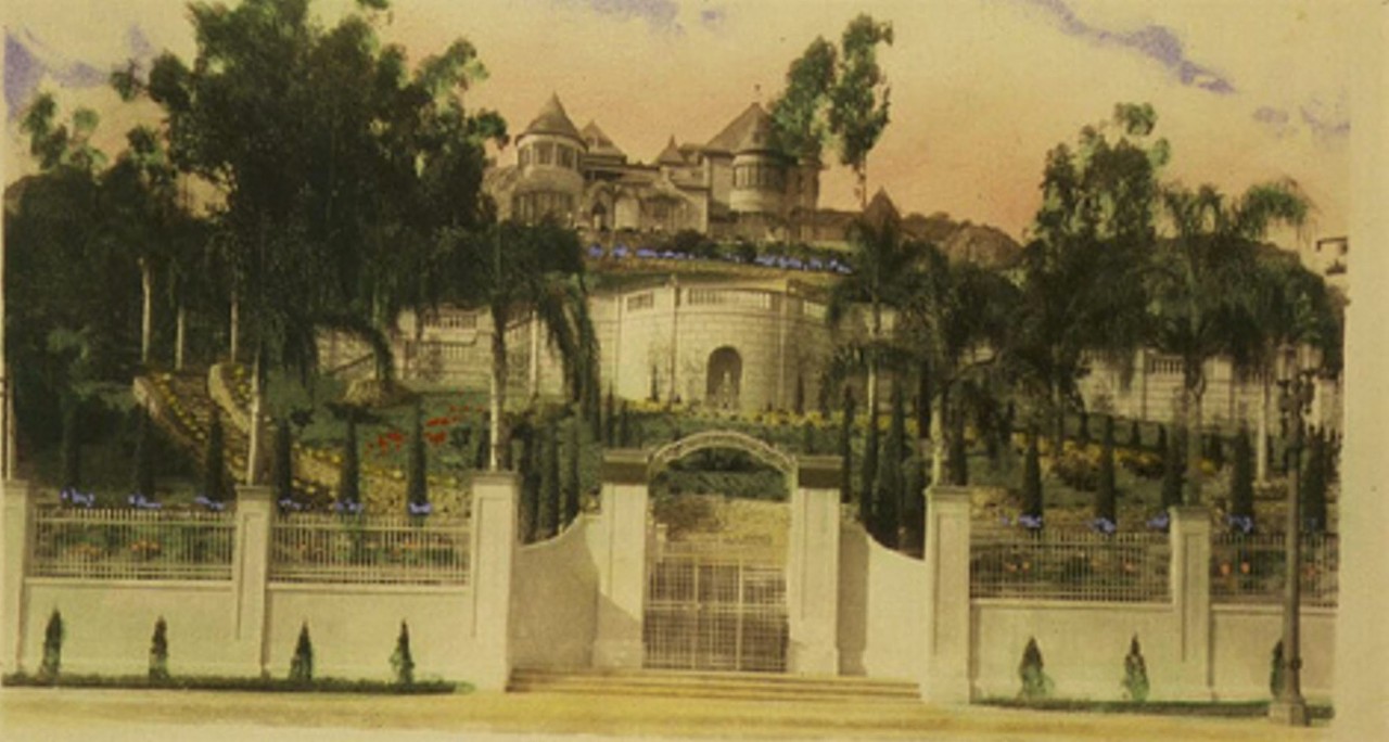
The above is from a Christmas card sent by the owner at the time, Mrs. Hersee Moody Carson.
A few years back I posted a framed image of the complete card here:
http://forum.skyscraperpage.com/show...ostcount=24782
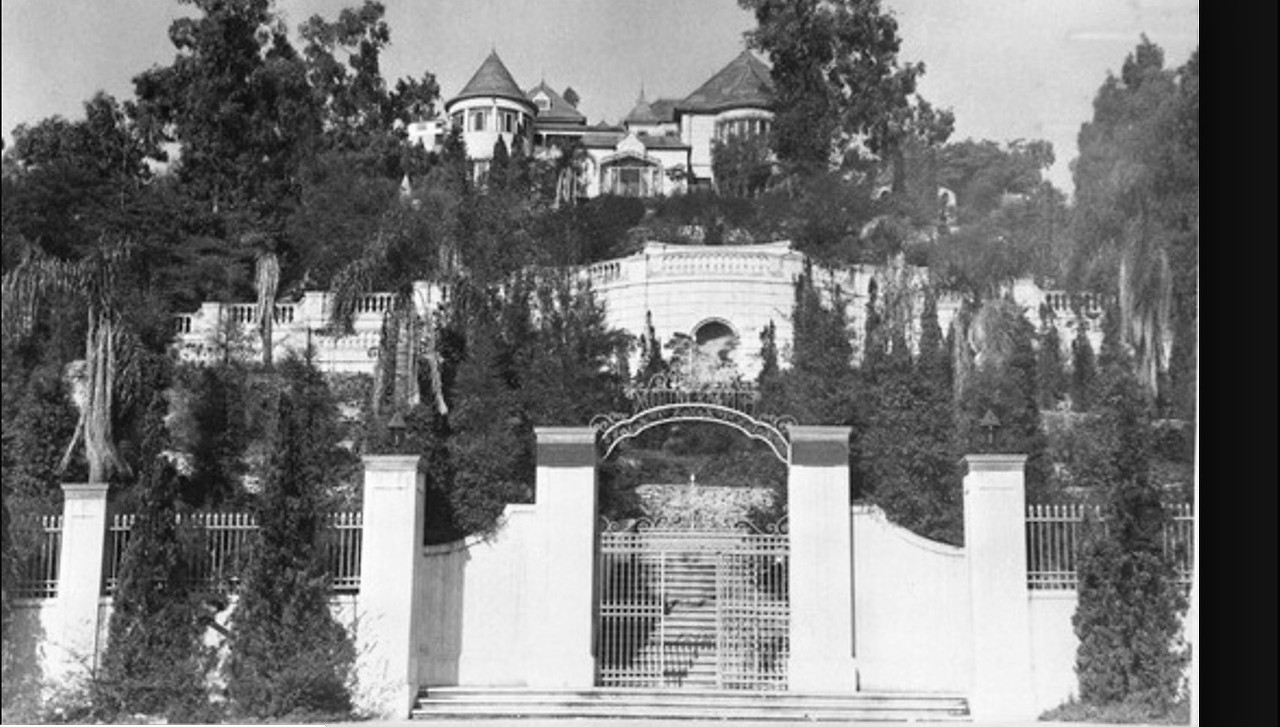
I'm not sure if we have seen this black and white image before.
This is the view from Sunset.(the same view as the artist's illustration above)
 https://jhgraham.com/2016/06/14/8311-sunset-blvd/
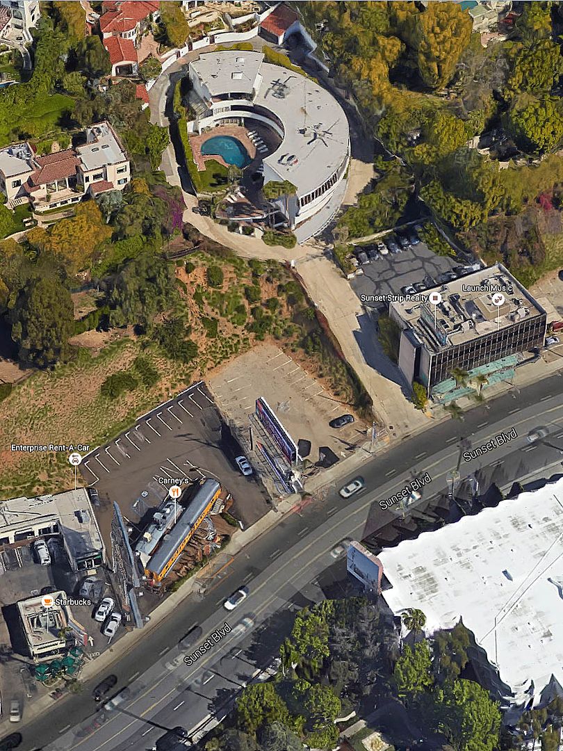
As most of you know, Mount Kalmia/Sweetzer Castle still stands, shrouded in trees right next to the Sunset Capri/Round Hill Apartments
that
Hoss and I spoke about earlier today.
It appears some of it's formal 'gardens' have survived as well. (circled in red below)
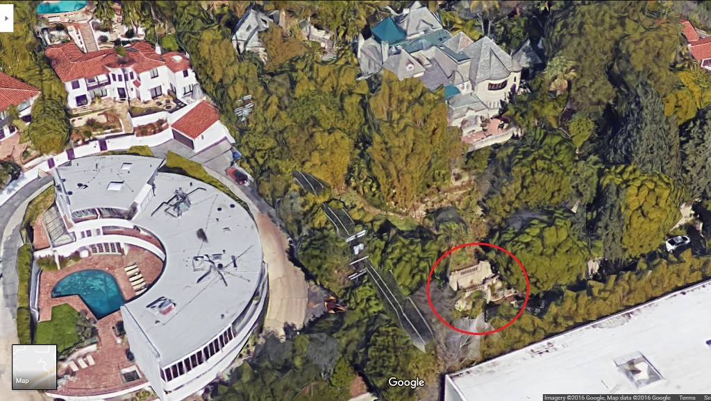
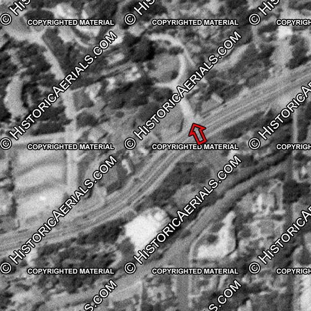
google_earh detail
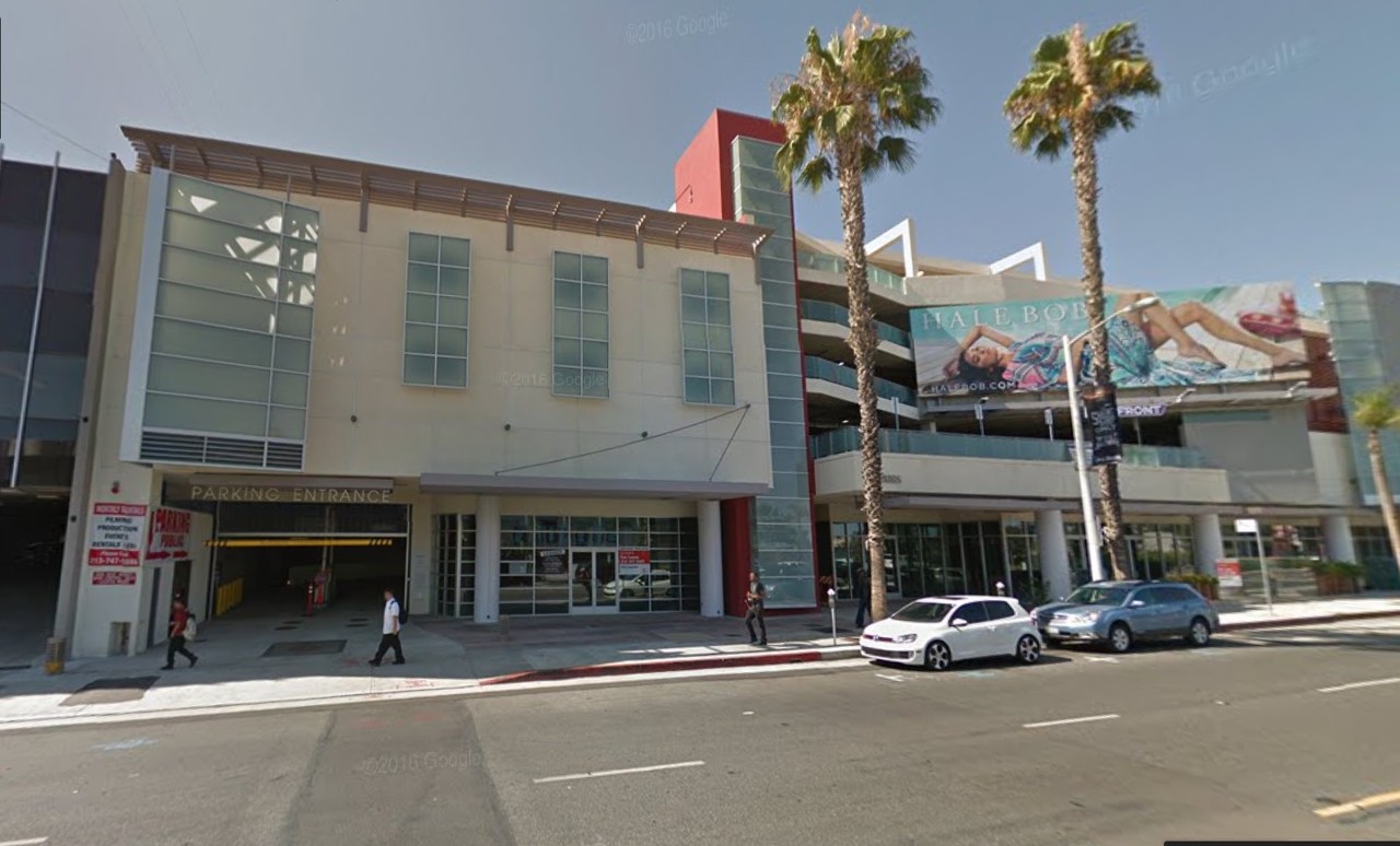
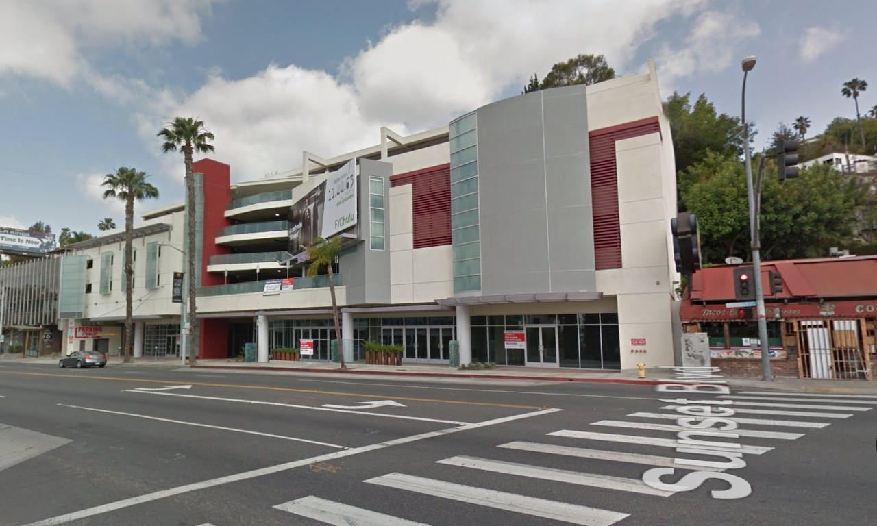
Frustratingly, a huge ugly building has recently been constructed right in front of Mount Kalmia.
Now
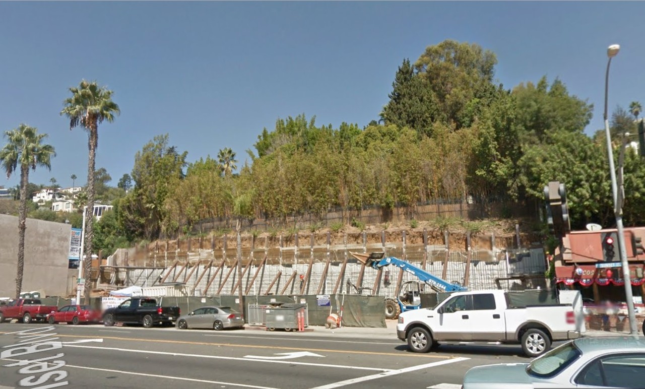
Then (2011)
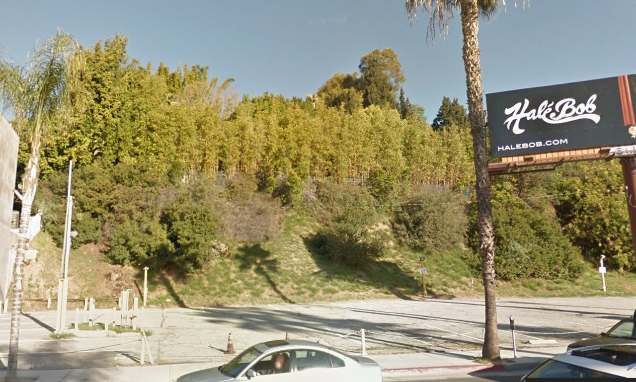
Various owners allowed the trees/shrubbery to take over the grounds. (probably for privacy from busy Sunset Blvd)
Otherwise, I think the front terrace and to some degree, the house would have been visible from Sunset as recently as 2013.
We needed a team of bushwhackers (no offense
odinthor) to tackle some of that overgrowth.
From Sweetzer (2016)
...from Sweetzer 2013 (getting ready for construction)
gsv
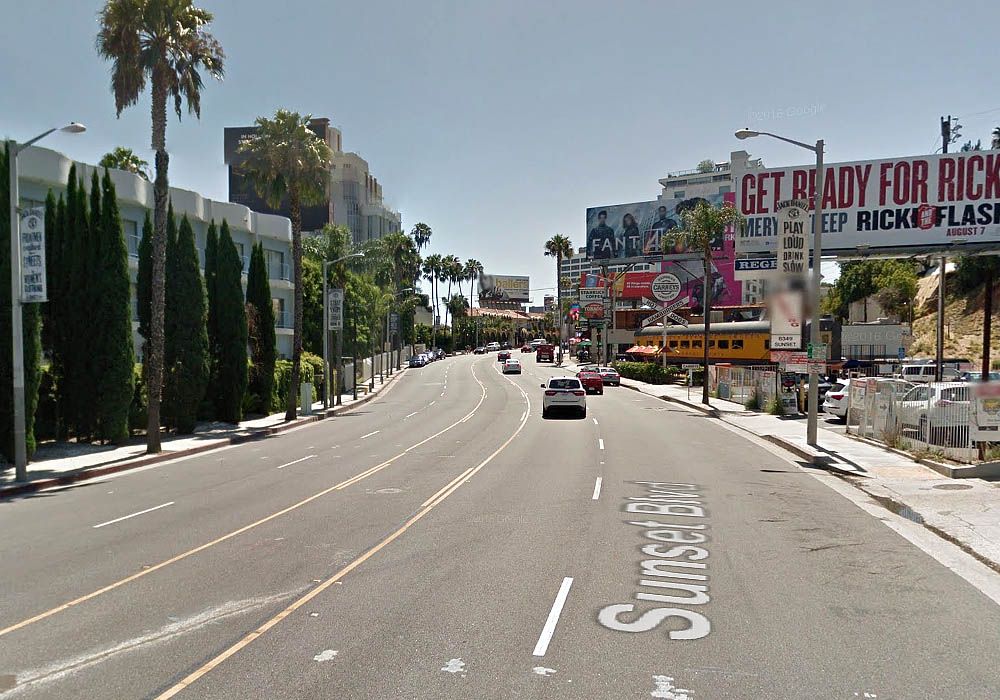
Oh I almost forgot, here's a current view of the 'street' that goes up to Sunset Capri/Round Hill Apts.
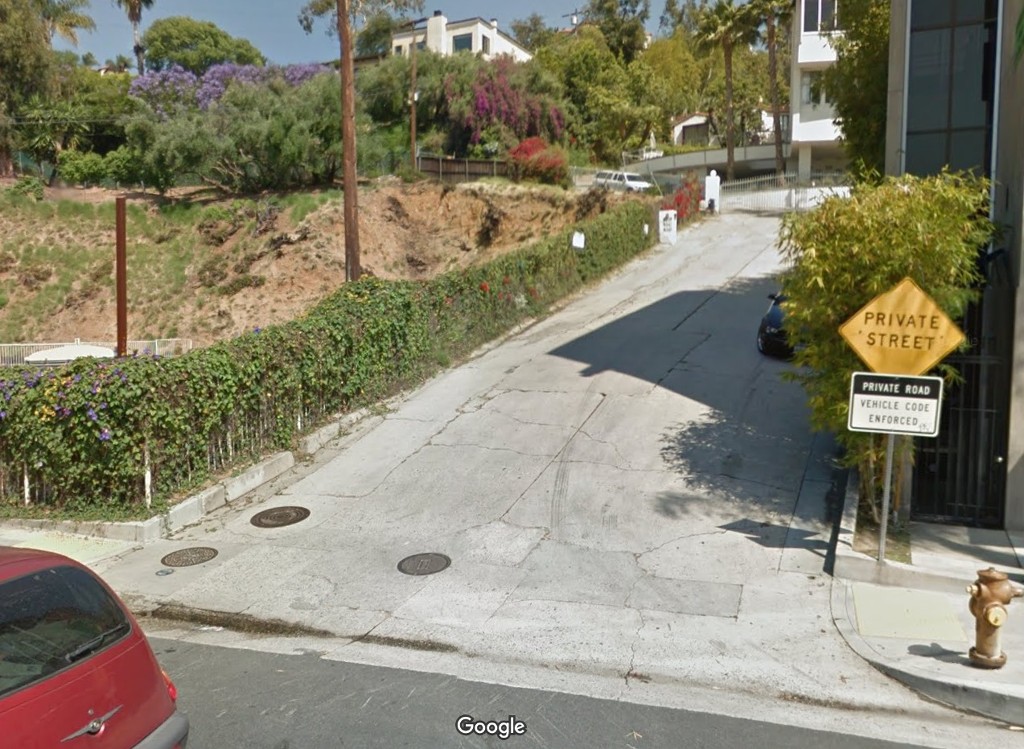
gsv
This is where the four markers appear in the 1930 and 1950 photographs at the top of this post.
Why are there three manholes so close together?
__


 Prev
Prev


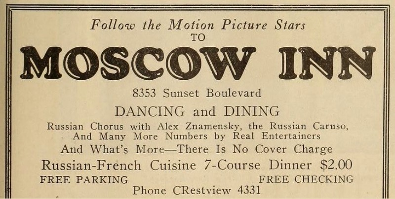
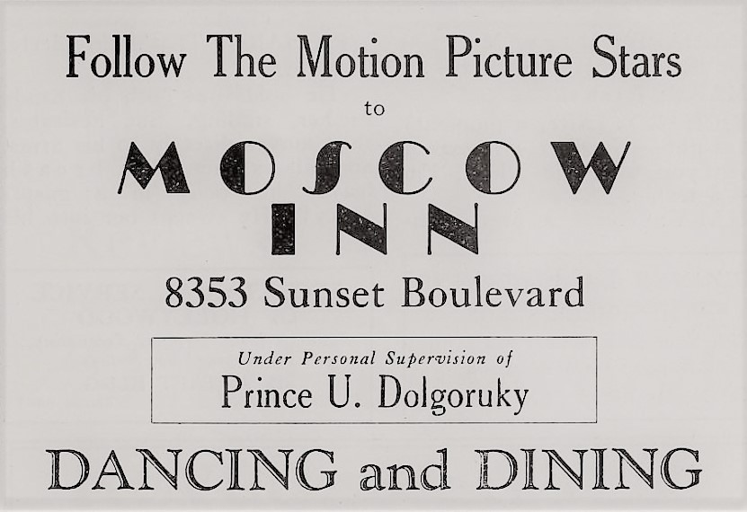
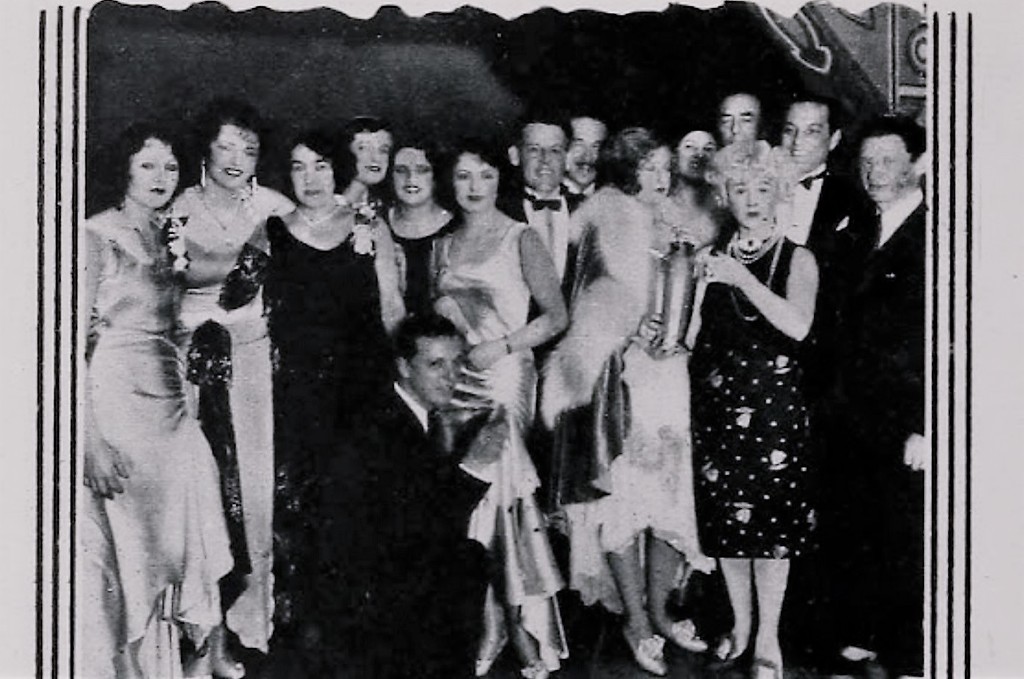
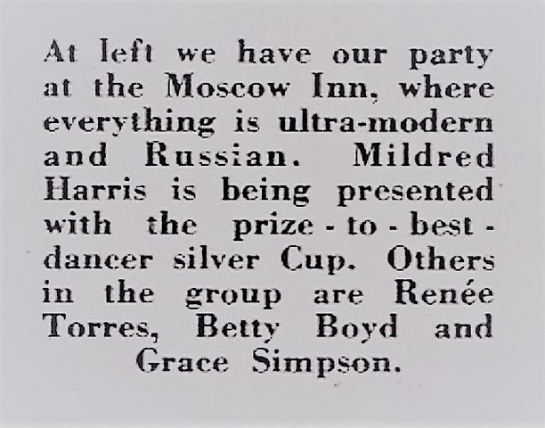
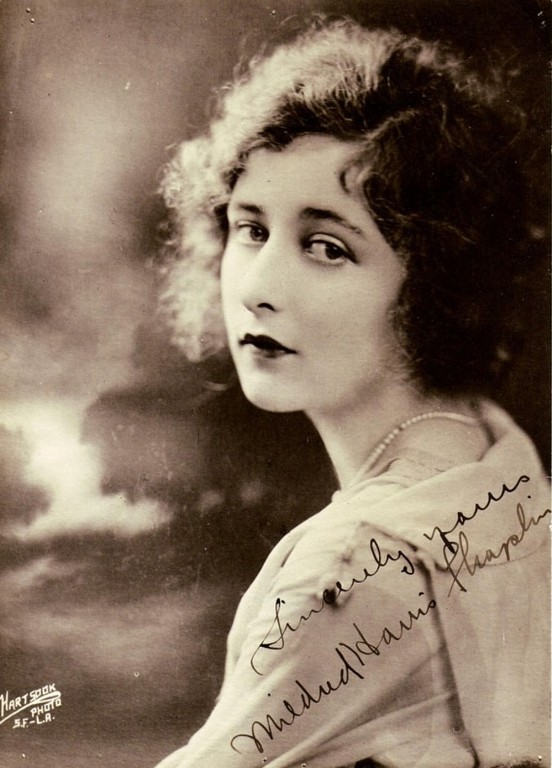

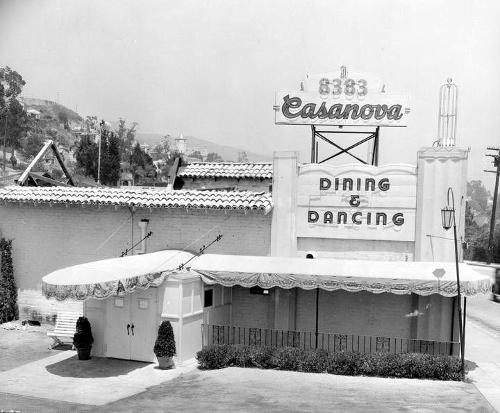
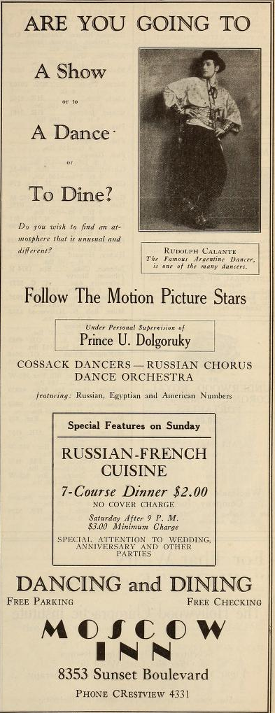
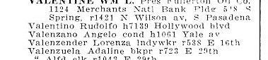
 ad was likely playing off of Valentino's post mort. popularity. He died in '26.


 Linear Mode
