Quote:
Originally Posted by raisethehammer

you rock McGreal:
We blew it in '81 on light rail transit -- let's not do it again
Terry Cooke
(May 10, 2008)
"Losing a fully funded light rail transit system in the early 1980s was the biggest missed opportunity that I witnessed in my entire political career. Hamilton is still paying the price for such short-sightedness."
-- Former Hamilton-Wentworth Region chair Bill Sears
Sometimes in politics it's hard to recognize the stuff that actually matters in the long term. Elected officials can get so caught up in the grind of day-to-day decision making that they literally fail to see the forest for the trees. Therefore, a quick study of recent history might help Hamilton council appreciate the lasting impact of its pending decision on the future of rapid transit in Hamilton.
In 1978, the province offered to build a light rail transit (LRT) system in Hamilton (disclosure: my grandfather Frank Cooke chaired the technical steering committee for the project until his retirement). Premier Bill Davis was convinced Hamilton was the ideal location to build a demonstration project to showcase a made-in-Ontario transit technology.
Regional government had identified the need for a rapid transit system to move people efficiently from downtown to the fast-growing suburbs on the Mountain (and ultimately the airport) and to the bustling industries of the northeast waterfront.
The province had invested heavily in developing the system and building a test-track LRT near Kingston, which it hoped would spawn a worldwide market for their technology and create manufacturing jobs here in Ontario. But it was desperate to show that it could work in a real urban environment such as Hamilton so it could get on with selling it to the world.
So Hamilton had an opportunity to receive, at provincial expense, a state-of-the art transit system that could have transformed our city.
Instead, the proposal was met with political skepticism. Regional councillors figured that such unusual provincial benevolence was an indication the system was technically suspect and was being foisted on Hamilton.
The Hamilton concept design unfortunately included elevated sections of the line in downtown and the Durand neighbourhood, prompting the usual opposition to change by downtown merchants and local ratepayers.
But instead of finding ways to amend the concept to address legitimate concerns while keeping the project and funding alive, Hamilton's conflict-driven political culture conspired to kill it. In 1981, regional council voted by a margin of 18-8 to shut the project down, effectively snatching defeat from the jaws of victory. Hamilton's loss became British Columbia's gain. The Ontario-made LRT was ultimately built in Vancouver as the SkyTrain.
Now, Queen's Park has once again expressed a serious interest in funding LRT in Hamilton. There are likely to be some political speed bumps on the road ahead. Chamber of Commerce types are sure to question its affordability, and some suburbanites will rebel at relinquishing two lanes of traffic for transit use.
But the world has changed dramatically in the past 25 years in its understanding of the importance of transit to our urban form and our economic vitality. Local political culture is showing signs of change too. This time around not only is Mayor Fred Eisenberger committed to LRT, but much of council seems onside. They also have articulate allies such as blogger Ryan McGreal (raisethehammer.org) building grassroots support.
Hamilton has a rare opportunity to go "back to the future" with light rail transit. And just like the plot in the motion picture of the same name, this time we can choose a different ending.
|
Some clarification is seriously in order.
First of all, the technology proposed was not LRT. It was an ICTS (Intermediate Capacity Transit System), such as the Scarborough RT.
(The below details on the proposed route are from an article in progress for my website)
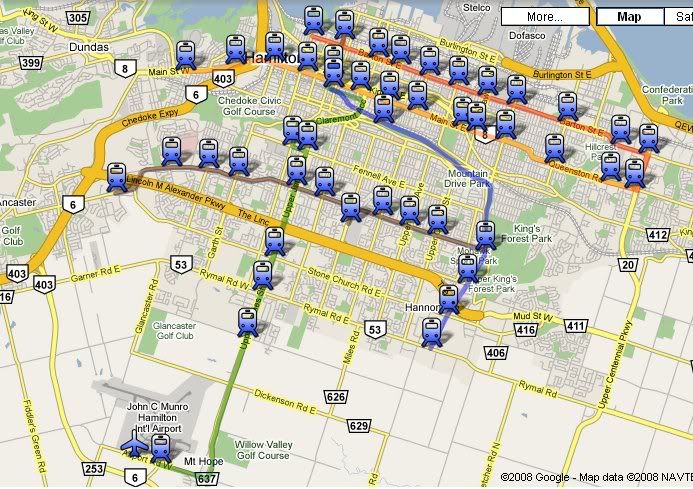
The RT line would have begun at the corner of Upper James and Mohawk, with Mohawk station on the northeast corner elevated above Mohawk Plaza. The line would head north on Upper James along the centre of the roadway, and then swing onto the side of the roadway, gradually descending until passing underground near the intersection of Upper James and Monarch Rd, on the parking lot of Mountain Plaza.
Fennel Station would be located underground on the southeast corner of the intersection of Upper James and Fennell. North of Fennell station the RT would continue to descend until it emerged from the side of the Niagara Escarpment at the site of the old James St Incline, where the James St stairs are today. Now again on an elevated track, the line would have swung slightly east, to parallel James St south on the east side.
The elevated line would have jumped from James to Hughson Street, either by cutting across the St. Joseph’s Hospital, or by making a sharp turn from James onto Charlton, and then another sharp turn from Charlton onto Hughson. St. Joseph’s station would have been located either on the southeast corner of James St and Charlton, or above Hughson Street at Charlton. These two sets of options were presented as St. Joseph’s hospital had not decided whether or not to allow the RT to cut across the property.
At Hughson and Haymarket, right behind the TH&B station on Hunter St, the RT would have its maintenance and storage yard, oriented east-west above what are now the GO centre’s bus platforms. This is also the location where the downtown loop would begin. Turning west, the one-way line would turn from Hughson, pass over the TH&B tracks, and then curve between City hall and Whitehern. It would pass over the Canadian Football Hall of Fame as it reached MacNab Station.
MacNab station would be placed above the existing bus platforms at MacNab and Main, and would serve as the transfer point between the RT and the buses coming from the West end, as well as serving City Hall, Jackson Square, Copps Coliseum, and the Art Gallery of Hamilton.
From MacNab station, the line would make a sharp turn onto King, another sharp turn from King onto James, and a third sharp turn from James onto King William. The line would run along King William to John St, where King William station would be located, which would serve the old Hamilton intercity bus terminal at John and Rebecca streets, and the east side of the downtown core.
After King William station, the line would head up Catherine St to Hunter, where it would turn west, cross over the TH&B tracks, and head up Hughson heading for St Joseph’s station.
The creation of the RT would have altered the bus network on Hamilton Mountain dramatically, with most buses being routed towards a RT station, rather than the downtown core. Mohawk station would have had the largest bus station, with 7 routes redirected to the Mohawk station bus terminal. These would have included 27B UPPER JAMES, 32 GARTH, 33 SANATORIUM, 41 MOHAWK, and 45 LIMERIDGE, as well as a new STONECHURCH EAST route.
Fennel Station would see the 27A UPPER JAMES, 31 FENNELL, 34 UPPER PARADISE, and 35 COLLEGE being rerouted to the new station, as well as new QUEENSDALE, UPPER WENTWORTH, and UPPER WELLINGTON routes created.
St. Joseph station would have had no bus platforms, and MacNab station would have served all the routes that passed by Main & MacNab. King William station would see the 4 BAYFRONT rerouted via Wellington
In retrospect it was a good thing that this design was not followed. The cars used by the ICTS had wider turning radi that anticipated. This resulted in derailments on the Scarborough RT, which had to be taken offline for several months in 1988 in order to renovate Kennedy Station with wider curves. Can you image the outrage if the downtown loop would have been rebuilt a few years after opening because the curves were too tight?


 Prev
Prev


 Linear Mode
