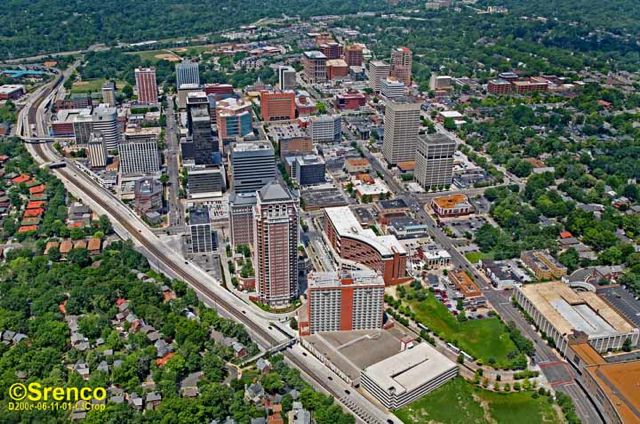
I think the NYC metro might be unique in that there isn't a single postwar-originated sprawl skyline. There are tons of "suburban" skylines, possibly more than anywhere else in North America, but they're all built on older urban towns that were enveloped by the expanding sprawl. So the skylines are in White Plains, New Rochelle, Yonkers, Hackensack, Fort Lee, Stamford, Norwalk, Bridgeport, New Brunswick, Morristown, etc. while the real postwar sprawl tends to be woodsy.
The giant corporate HQ of the postwar age are in deeply wooded office parks, often invisible from the public. There are very, very few mid or high rise towers in random sprawl. The NIMBYism is too strong and everything needed to look quasi-rural and cutesy. It's like GE, IBM and the like all wanted to hide.
So, for example, when Troy (suburban Detroit) built up in the 70's and 80's, it came out like this:
https://www.google.com/maps/@42.5621...7i16384!8i8192
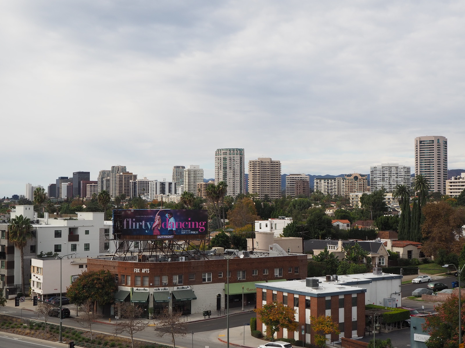
But when the Platinum Mile in Westchester (suburban NYC) built up in the equivalent time period, it came out like this:
https://www.google.com/maps/@41.0076...7i16384!8i8192


 Prev
Prev


:max_bytes(150000):strip_icc():format(webp)/PikeAndRose_AerialFinal-56a236103df78cf772734fe7.jpg)


 Linear Mode
