This is my pet project; a Minecraft city called
Hillsborough. It has been almost three years in the making, and is still nowhere near finished. I've built it entirely by hand in Minecraft PE/Bedrock (the mobile version), without the use of any editing software.
It's inspired heavily by smaller/mid-size New England cities such as Portland, ME; Manchester, NH; Lowell, MA; Hartford, CT; and Providence, RI.
However, it does not represent any specific real-life city; it is entirely a work of fiction.
I'd like to at some point do a more extensive tour of a some specific neighborhoods, but for now, here's a general sample of the city. This does not represent the entire city, and leaves out a lot; it's basically just a collection of the photos of it I have on my phone at the moment.
But first, here's a little bit of the city's fictional background info.
The City of Hillsborough (Population 128,597 (2010)) is the state capital and urban hub of the fictional New England state of Pascal, as well as the county seat of August County.
The State of Pascal is a small island state off the coast of southern Maine. The State of Pascal, and the Hillsborough area, were originally settled in the 1580s as part of a French Colony, which was part of New France (most of which would go on to become French Canada). The City of Hillsborough originated as a small trading post called St. Augustine, about a mile east of a French military installation known as Fort St. Augustine. The territory remained a French colony until 1763, when it was ceded to the British as part of the Treaty of Paris at the end of the French and Indian War. Pascal then became a British colony, and the City of St. Augustine was renamed the City of Hillsborough, after the Earl of Hillsborough.
Unlike most of the other British colonies of the New England area, the colony of Pascal did not actively participate in the American Revolutionary War of the 1770s and 1780s, and remained a British colony until it was given to the United States at the conclusion of the War of 1812. After 18 years as a US Territory, Pascal was granted statehood in 1830, with Hillsborough as its capital. Over the next two centuries, Hillsborough grew into a sizeable city, partially by annexing surrounding towns such as Lexington and Vernon.
Although distinctly New England in character, the City of Hillsborough is unique due to its unusual history.
Here are some photos. I have tried to roughly organize them by neighborhood.
For reference here's a map of the core neighborhoods:
 Images:
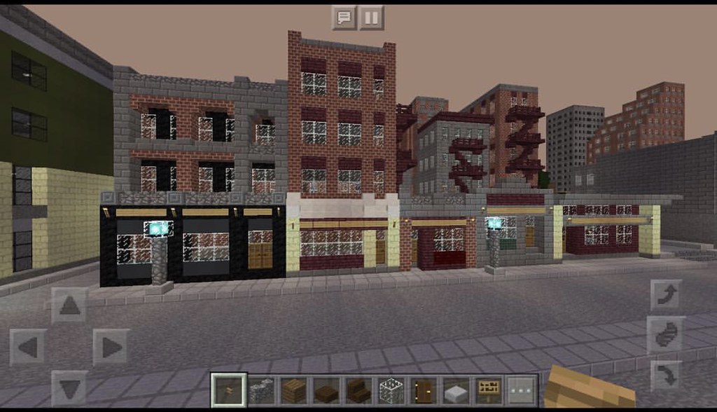
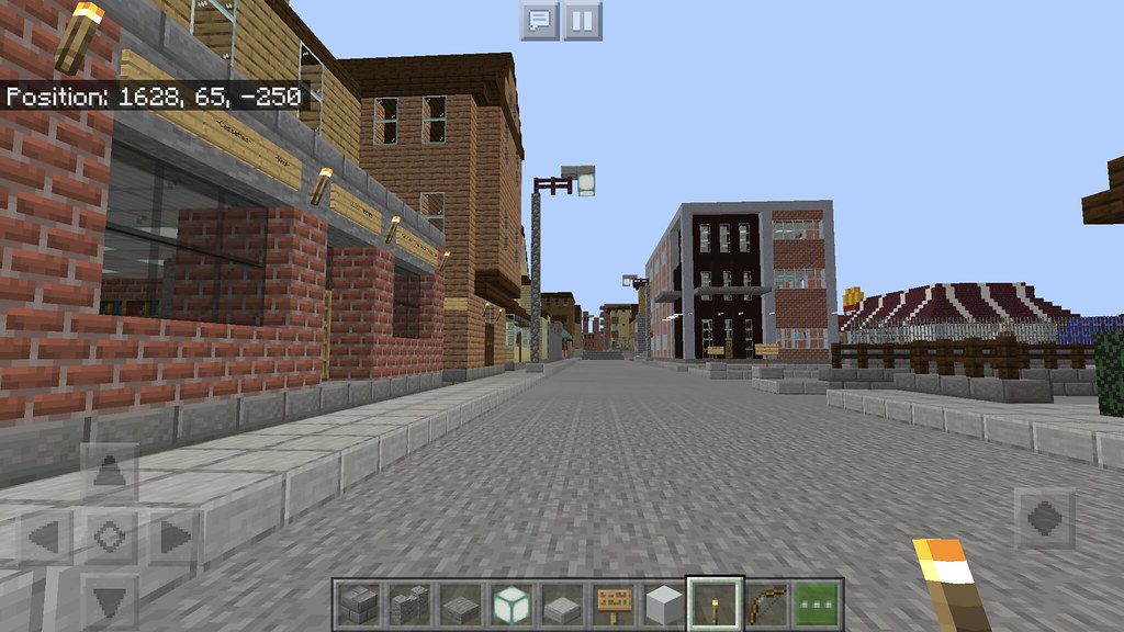
Downtown
Images:
Downtown

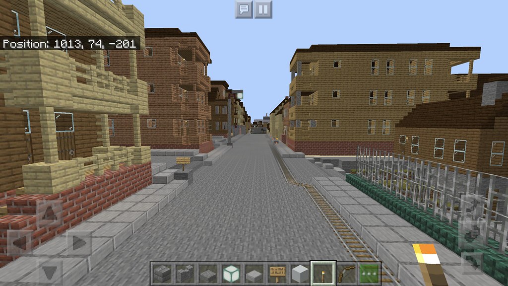
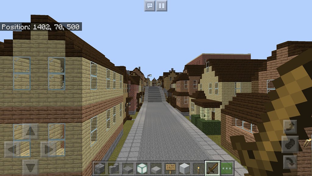
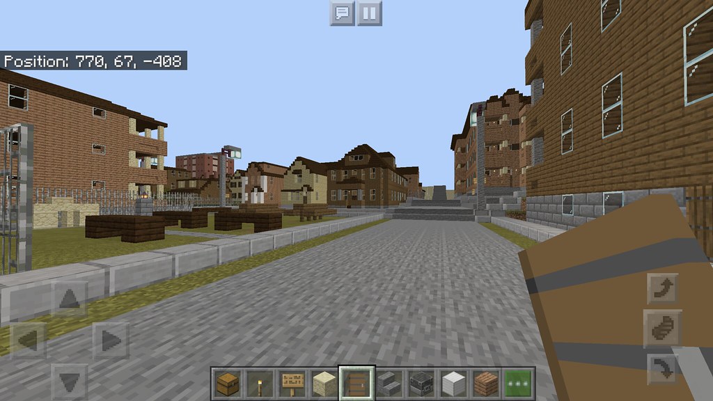
High Street
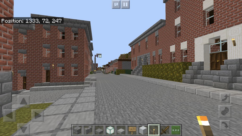
Eastern Ave

Eastern Ave

Eastern Ave
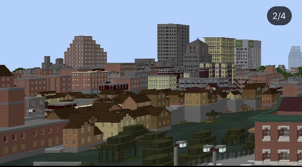
High Street approaching Maverick Circle. The large building in the center is the Ouellette Building, built 1901; 11 stories (Built in 1901 as a seven-story building; enlarged to 11 stories in 1919.)

The tallest building in Hillsborough: August County Medical Center Building A (Originally called Bank of America Tower); built 1990; 16 stories.

Another view of the Medical Center tower, with the 12-story Riverbend Tower also visible at left.

Hillsborough Bank and Trust Building; built 1909; 9 stories (Built as a 5-story building in 1909 and enlarged to 9 stories in 1916)

Not a very good angle, but here's Park Tower; built 1915; 12 stories.

Again, not a very good angle, but here's TD Tower (Originally known as Chase Tower) Built 2002; 10 stories. The other high-rise in the background to the left is the 10-story One Depot Square, built 1952.

Reservoir Square

View up Vernon Ave from Reservoir Square

Park Street

Spring Street

Trent Street

Baker Ave

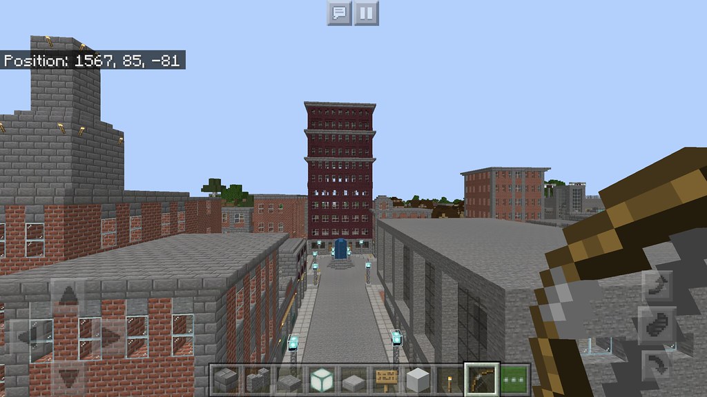
High Street, feat. the historic Hill Theatre.

Linden Street

Willow Street

Hillsborough Central High School, built 1908

Hillsborough Central High School campus, School Street

Capital Square

The Old Meetinghouse, Brigham Street. Built 1763 as a meetinghouse; now a music venue.

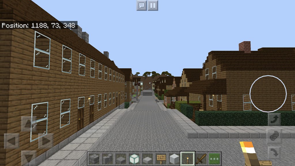
Ipswich Street

Hillsborough State University campus
HSU Campus at right, with One Depot Square office tower at left.
Queen Street

Queen Street

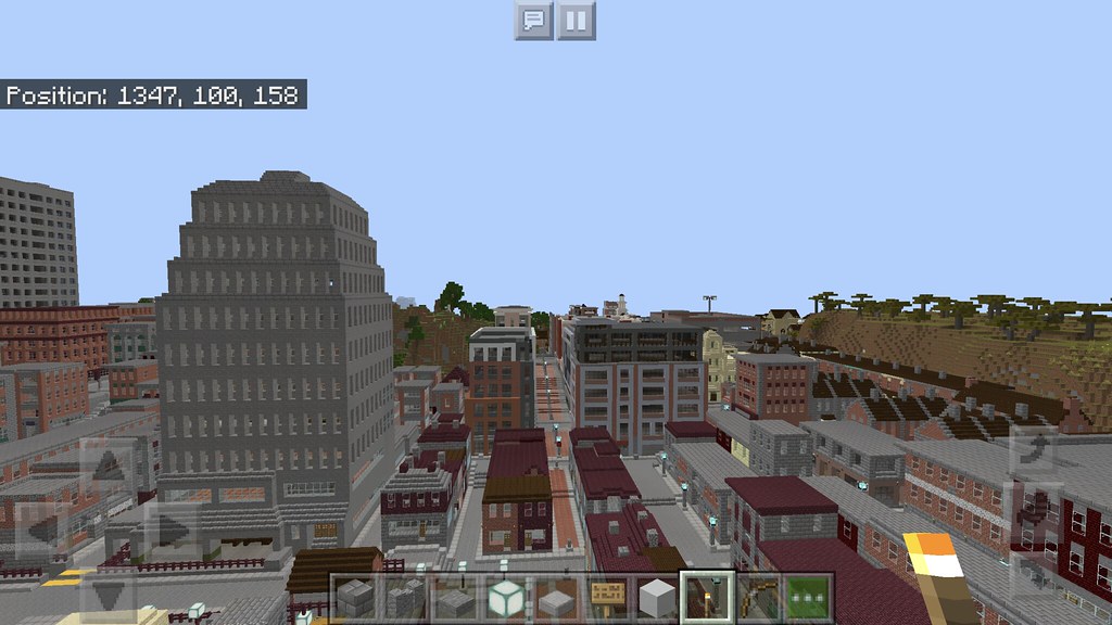
Aerial view of the southernmost reaches of the downtown area, near the border with the South-Central neighborhood
South-Central neighborhood

Marginal Street

Pleasant Street

Queen Street
Fair Street

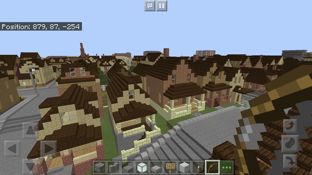
Partial aerial view of the neighborhood, with Downtown skyline in the background
Lexington neighborhood

Aerial view of neighborhood


Triple-deckers on Islington Ave

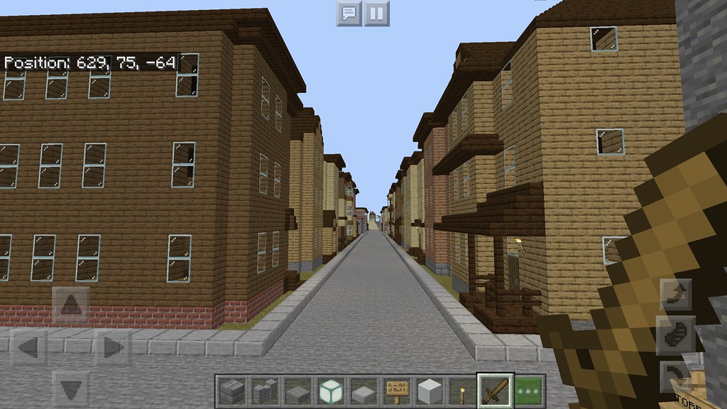
Islington Ave

Houses on Islington Ave

Islington Ave

Dewars Street

Reid Street
Dewars Street

Aerial View (with downtown skyline in background)

Felarca St

historic Lexington Square

Dwyer-Wren House, built 1778
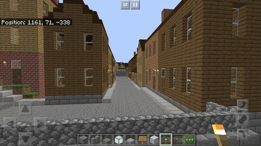
Muskegon Street
Islington Ave

Putney Square

Aerial view

Aerial view
Shailerville neighborhood

Duplexes on Islington Ave

Islington Ave looking towards Lafayette Square
Triple-deckers, Storrs Street

Shaw's plaza, Shailer Street

Shailer Street fire station, built 1910.

Lafayette Plaza, feat. Stop & Shop, Shailer St

CVS plaza, Shailer Street

Weber Block, built 1890, Lafayette Square

Lafayette Building, built 1914, Lafayette Square

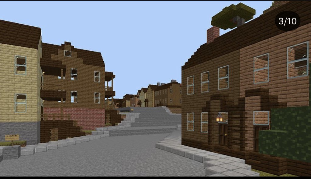
Shailer Street, Lafayette Square

Another view of the Lafayette Building, Shailer Street
Cranston neighborhood

Aerial view of the Cranston neighborhood. In the background to the left are the Greenview and Lexington neighborhoods, and in the background to the right is the downtown Hillsborough skyline.

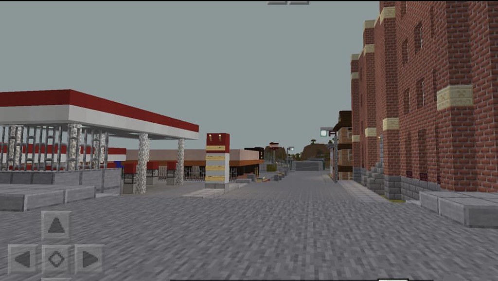
Shell station, Oxford Square

Fort Ave, looking towards Downtown Hillsborough from Oxford Square

abandoned Ayer Mill, built 1830; Fort Ave

Fort Ave

Buildings on Fort Ave: To the left is the Dewey Cartwright Building, built 1908, and to the right is the Flanders Block, built 1893.

Boucher Block, built 1885, Fort Ave

Aerial View

Oxford Street

Oxford Street

Abandoned warehouse, corner of Oxford and Penacook Streets

former Hillsborough School for the Deaf, built 1922, Oxford Street
Farside neighbohood

Aerial View of Neighborhood
Morren Ave

Laramie Street

Laramie Street
Cheyenne Ave
Casper Street

Casper Street

Gillette Street
Eastside neighborhood
Yarmouth Street

Mattress Firm/Hannaford plaza
Loudon Street

McDonalds

Aerial view with Downtown Hillsborough skyline in background
Gebb's Island nrighborhood

Duplexes on Second Street

Morren Square, Morren Ave
Ashby Hills neighborhood
Lehigh Street
Corner of Lehigh and Mudnock Streets

Aerial view of the neighborhood, with Lexington and Shailerville neighborhoods in the background. The large sandstone structure in the left-foreground is the Ouellette Mansion, built c. 1600, one of the oldest buildings in the city, dating from when it was under French rule.
-------------
And that concludes our quick tour of the City of Hillsborough. There's a lot I missed and wish I could include, but Hillsborough is so big it would literally take forever. So this was sort of the condensed version.
I hope you enjoyed it! This city is still a work-in-progress and there is a lot more to come.


 Linear Mode
