 Posted Mar 8, 2020, 2:59 AM
|
 |
Hong Kong
|
|
Join Date: Jan 2002
Posts: 8,567
|
|
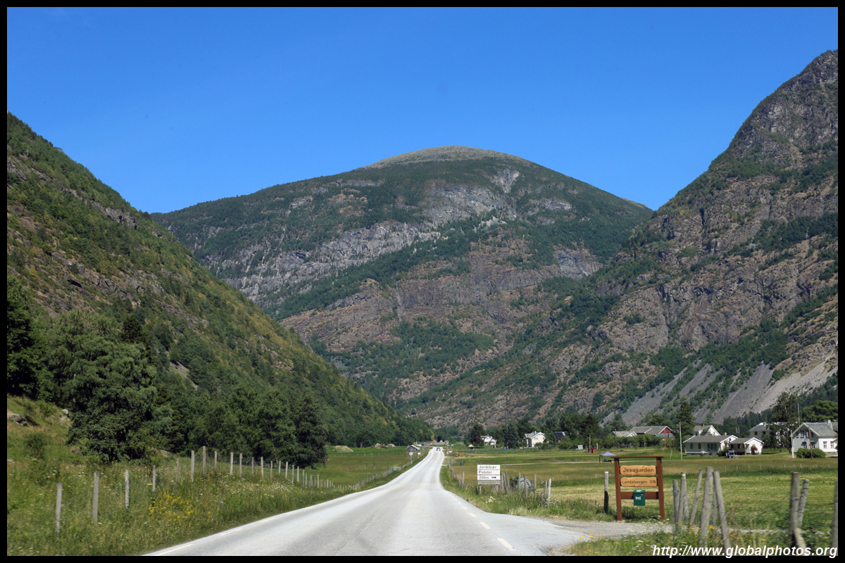
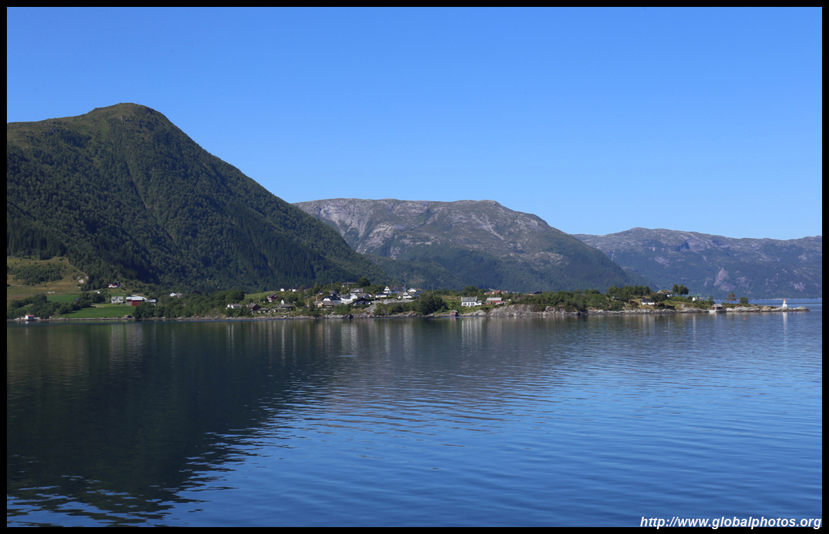
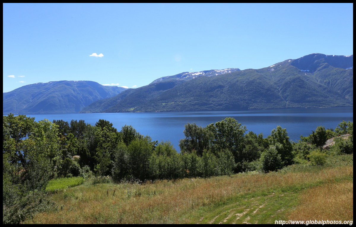
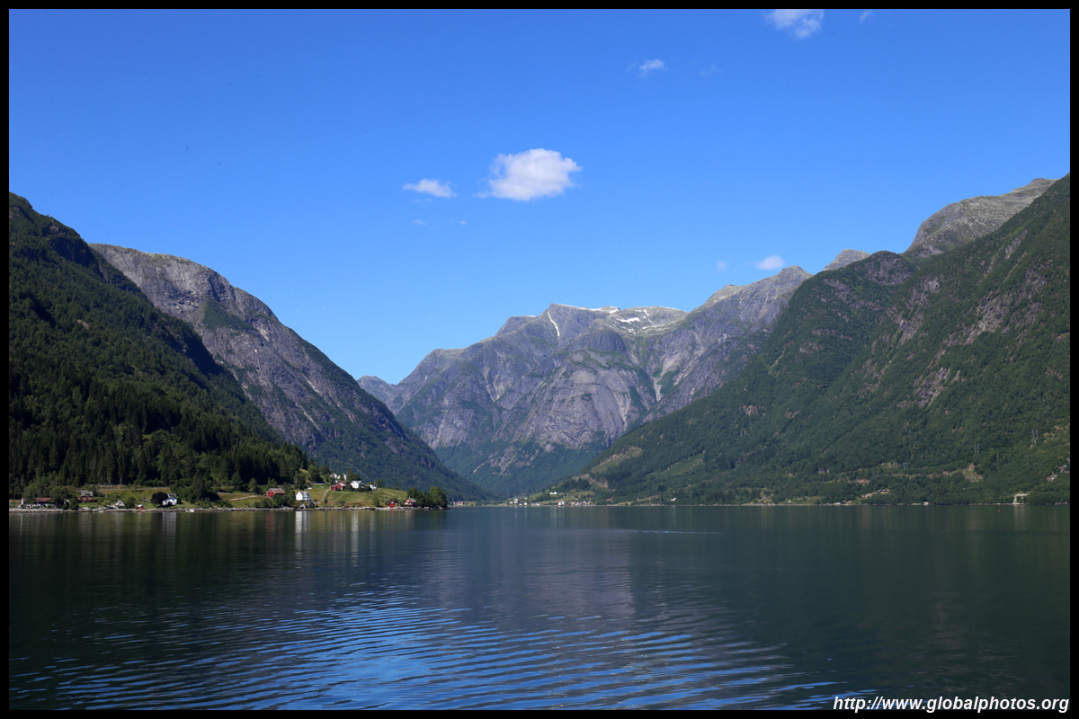
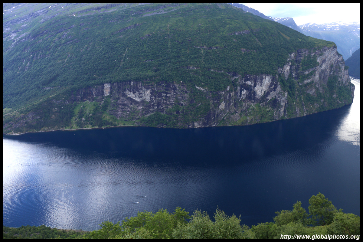
Section 2 : Bergen to Hardangerfjord (1 day)
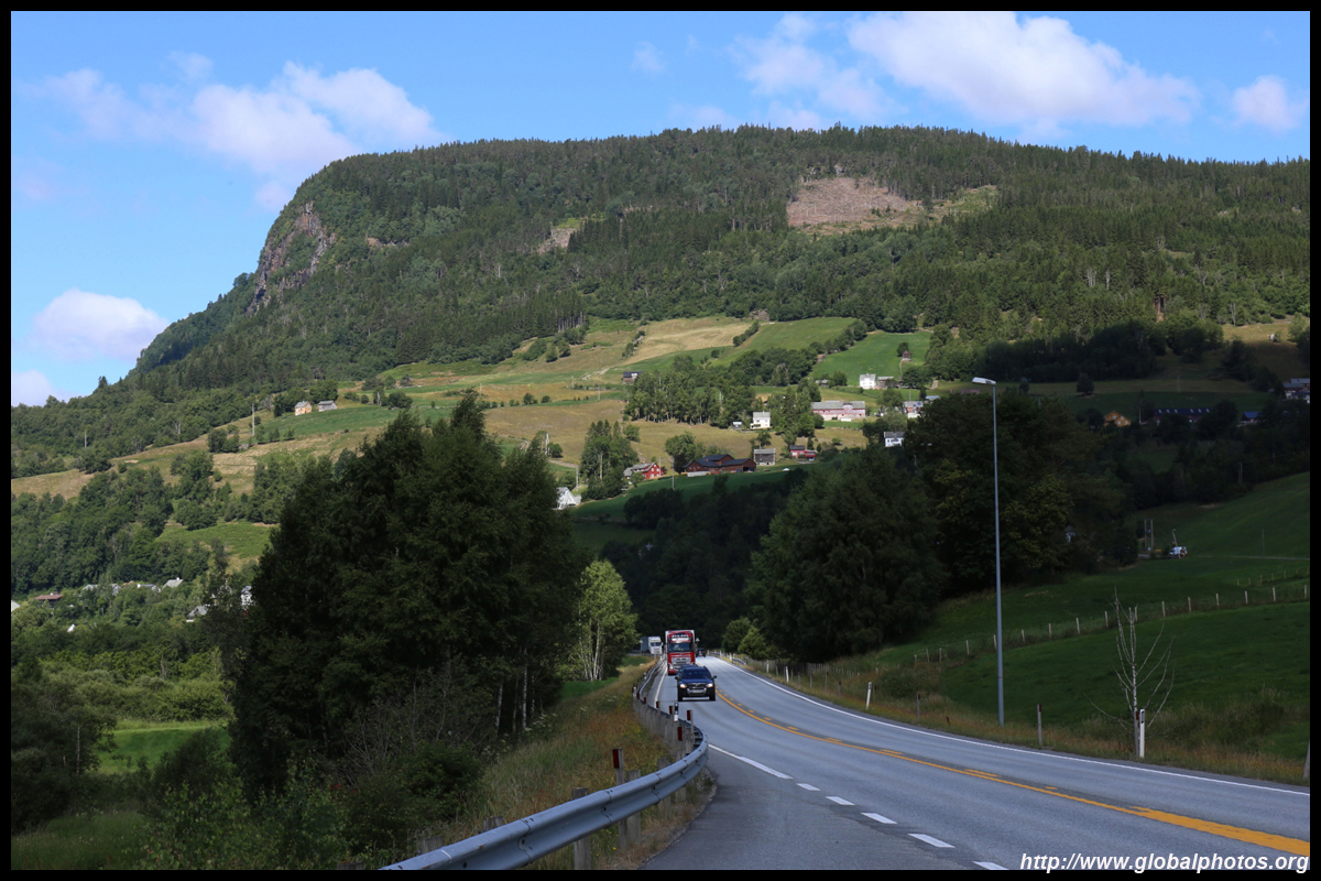
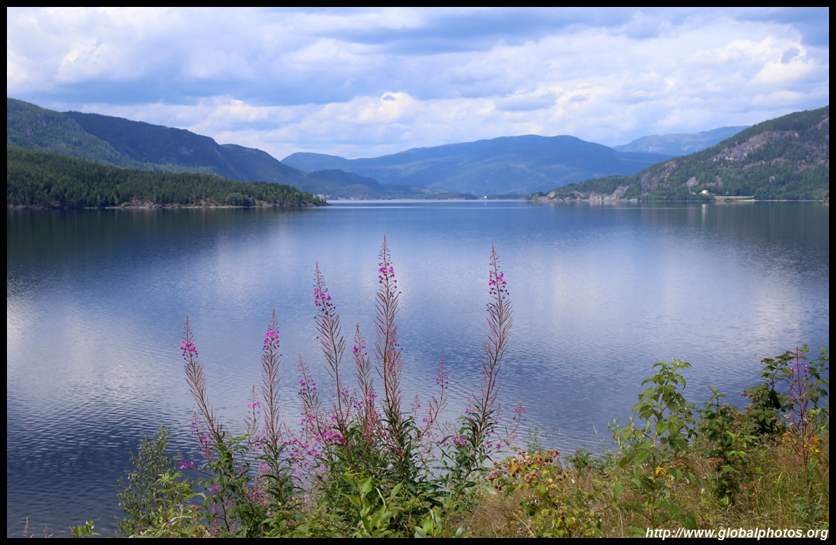
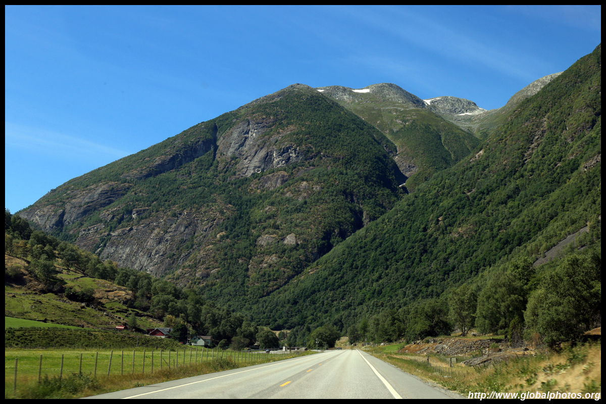
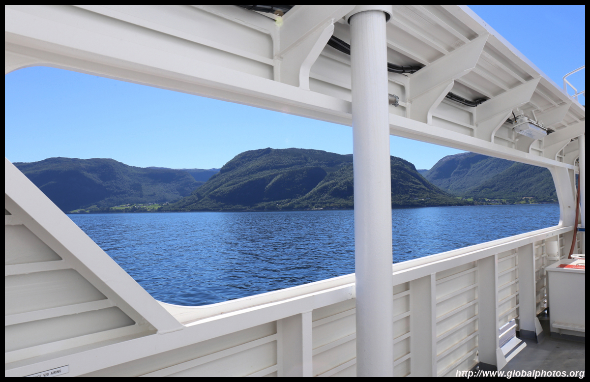
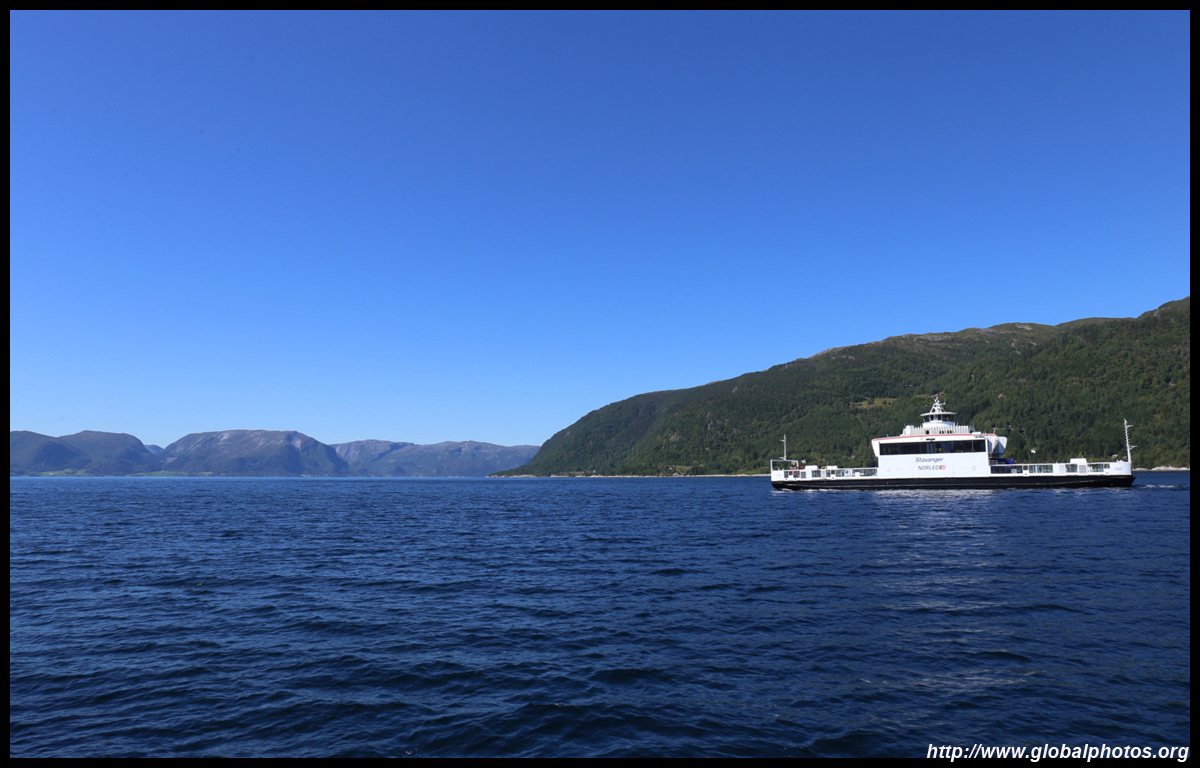
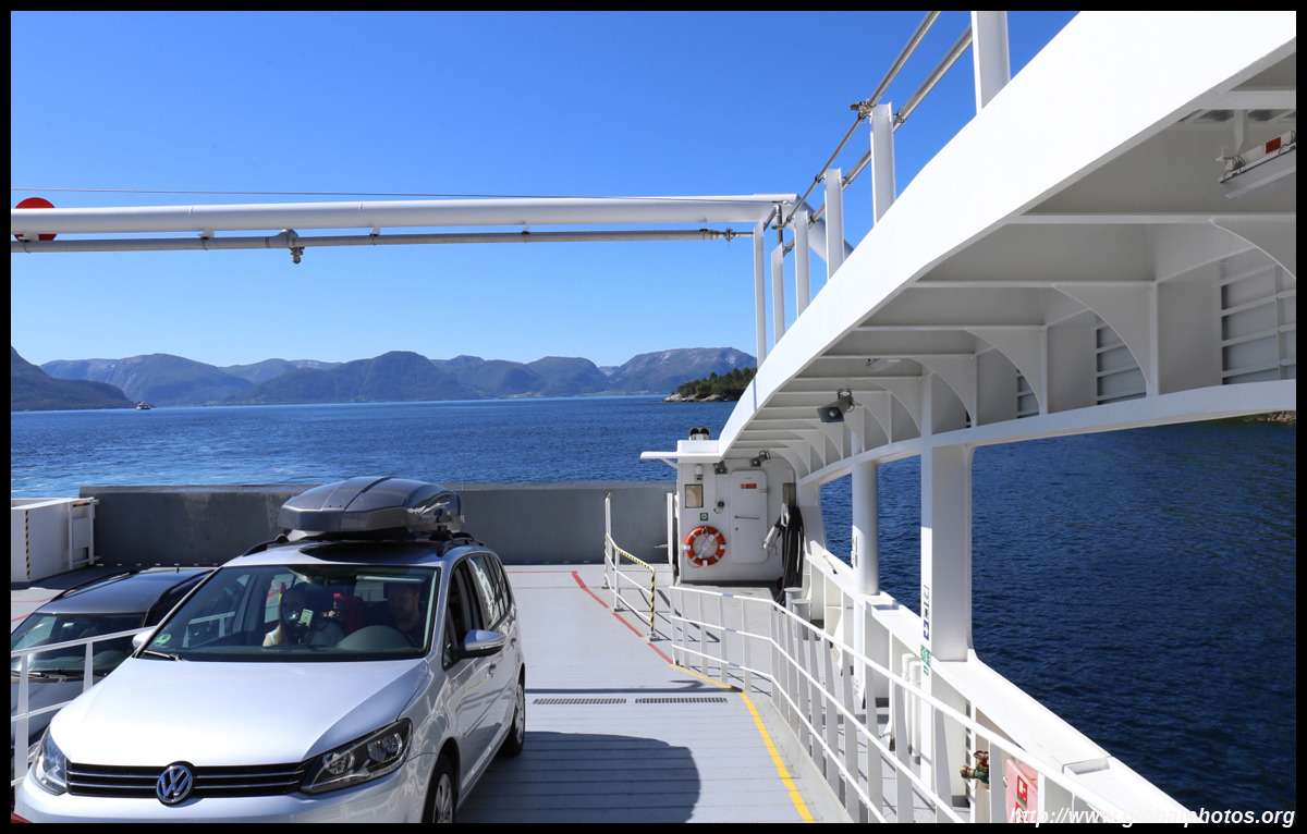
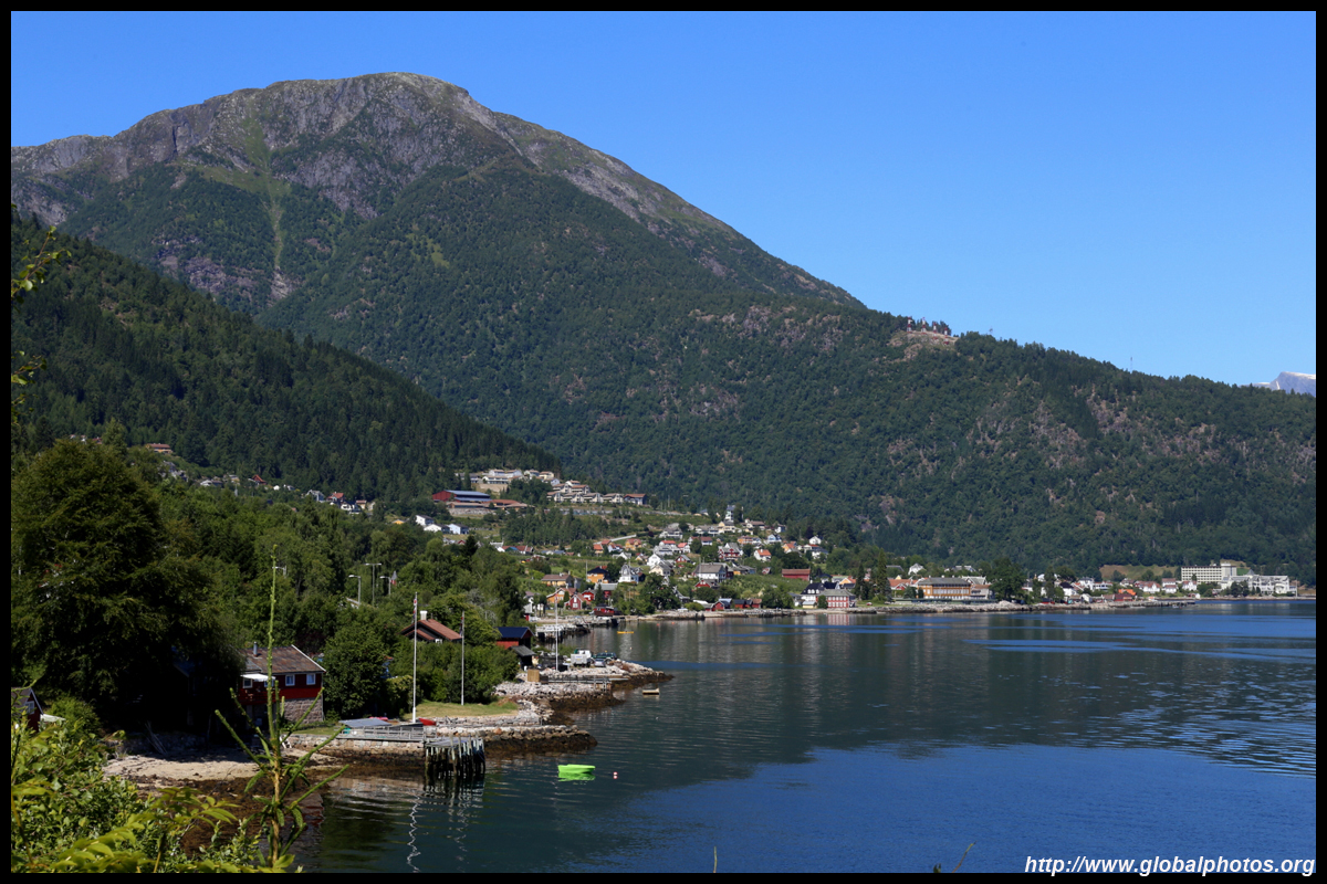
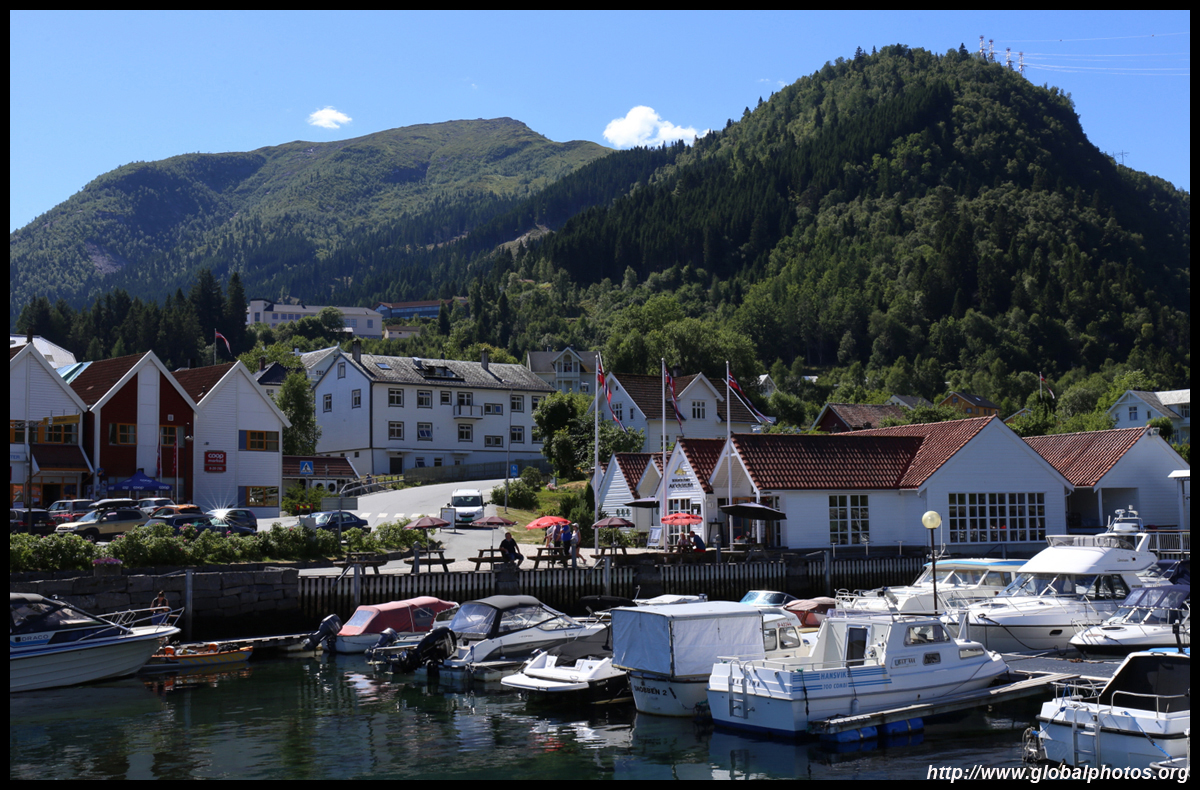
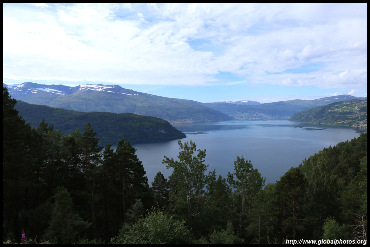
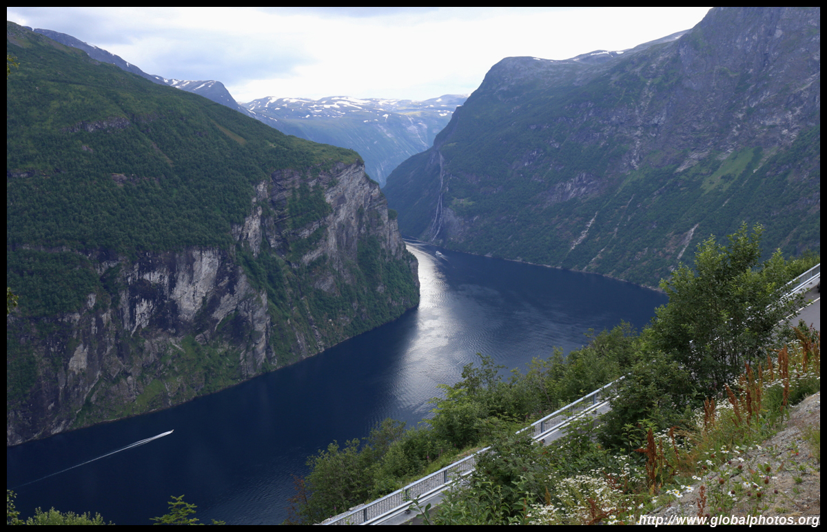
With good weather in Bergen, I had an extra day to make a day trip out of the city. The weather was also very nice today, so it would be a pleasant but long drive out to Hardanger, a 179km-long fjord that is at most 900m deep. The drive is easy enough - head Oslo-bound on the E16 to Vossevangen and change to the 13.

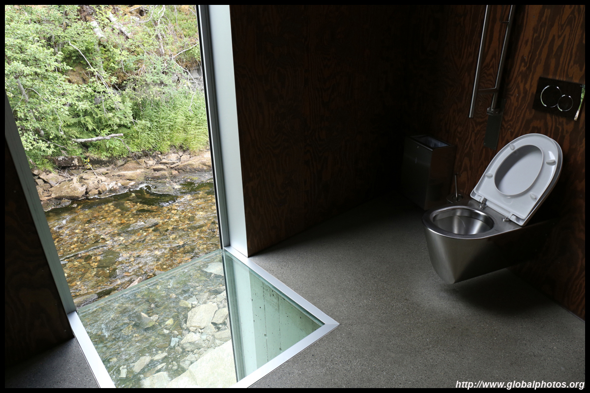
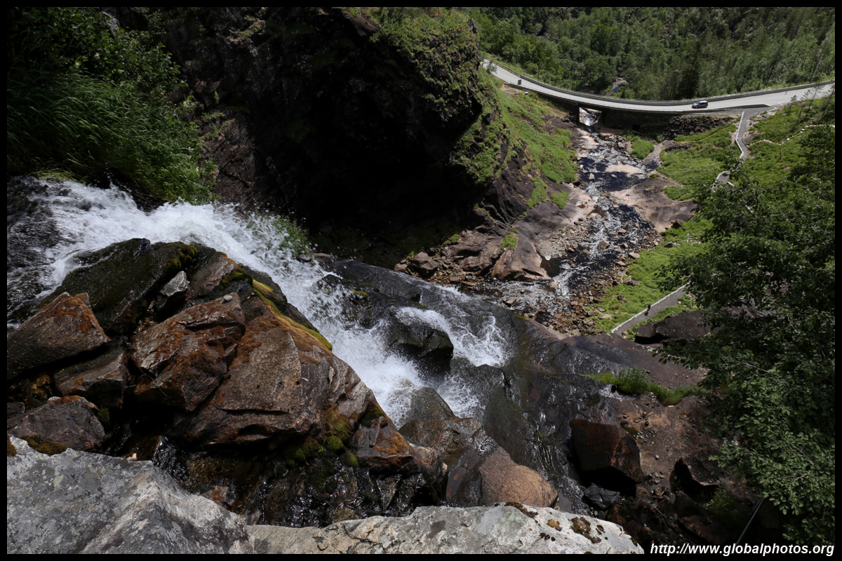
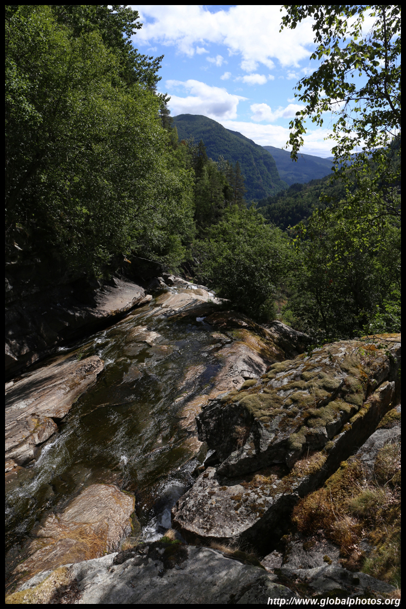
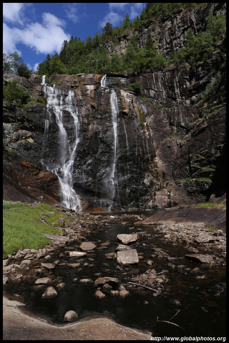
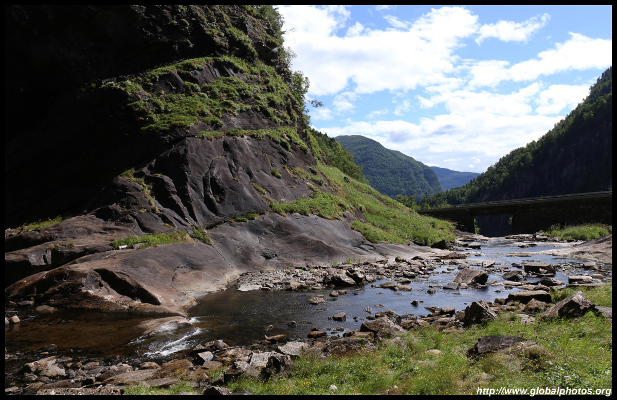
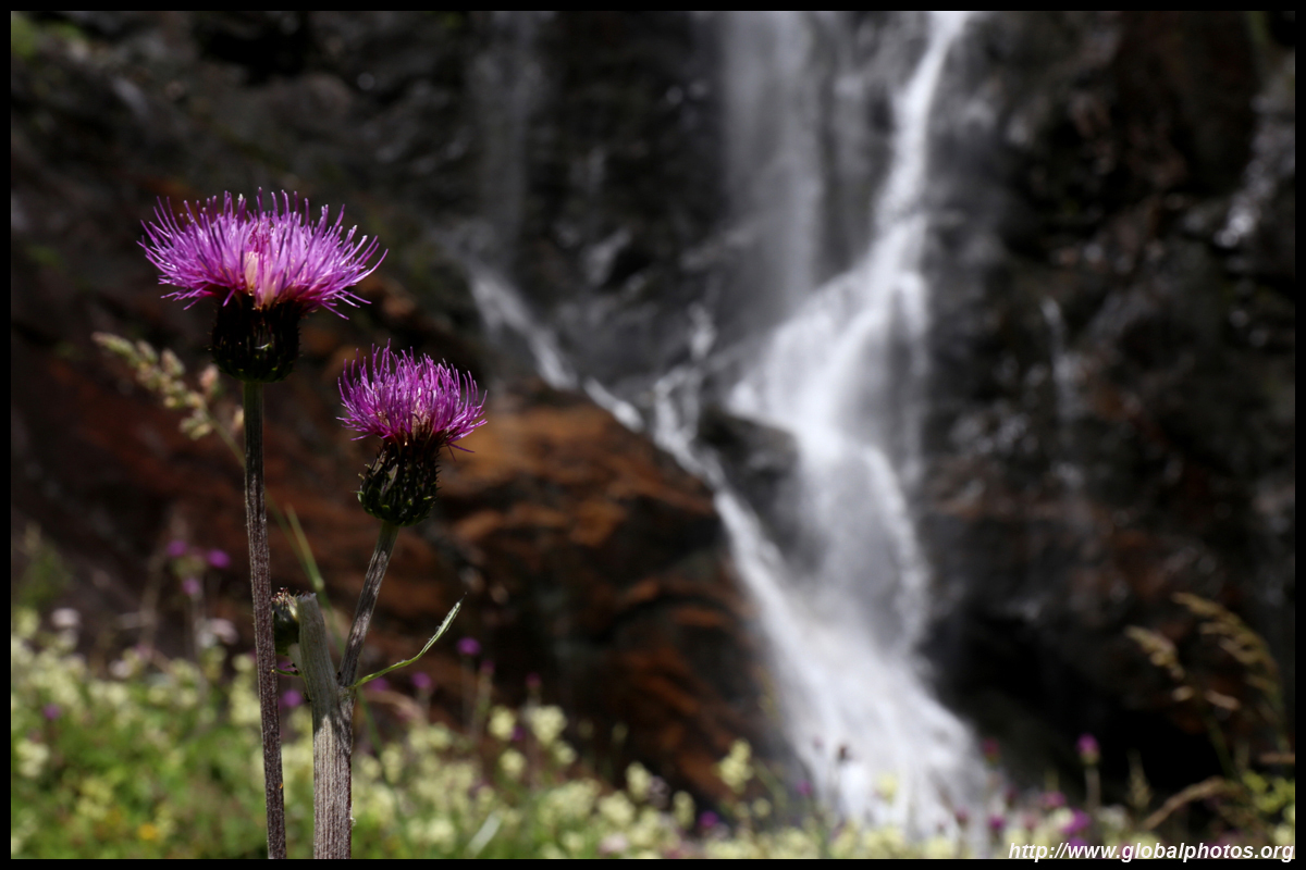
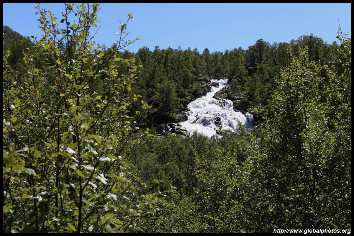
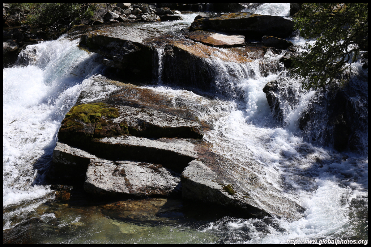
A good break from the long drive is Skjervsfossen, which drops 150m over 2 falls. You will approach from the top end, which has a parking lot with a neat bathroom for you to observe the raging river.

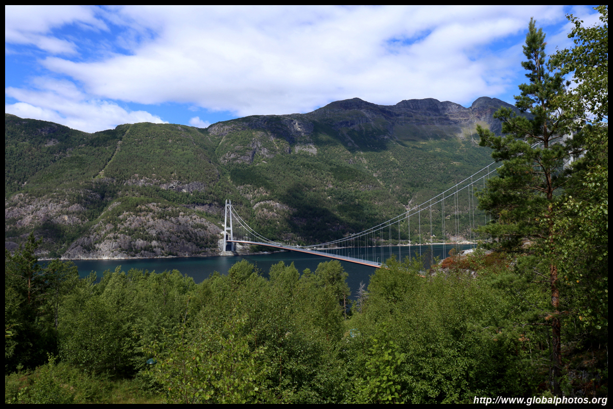
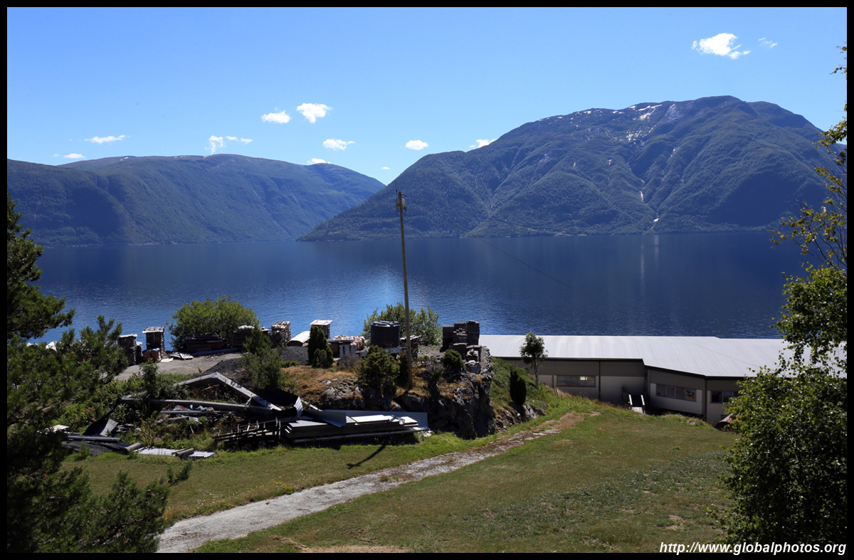
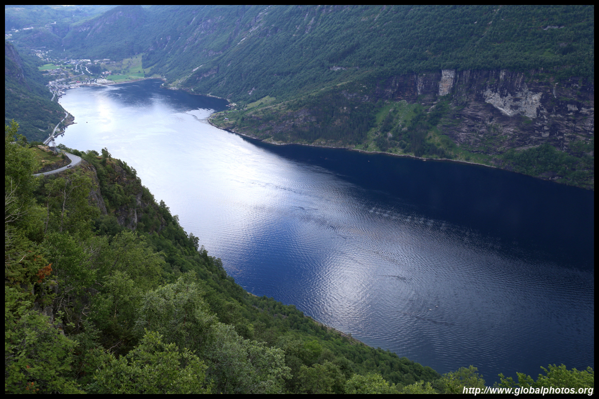
Highway 13 crosses the fjord in a tunnel-and-bridge combination, an engineering feat. The southern end has a small park where you can catch a glimpse of the bridge. You won't see any approach roads on the other side as the highway enters into the tunnel right away.
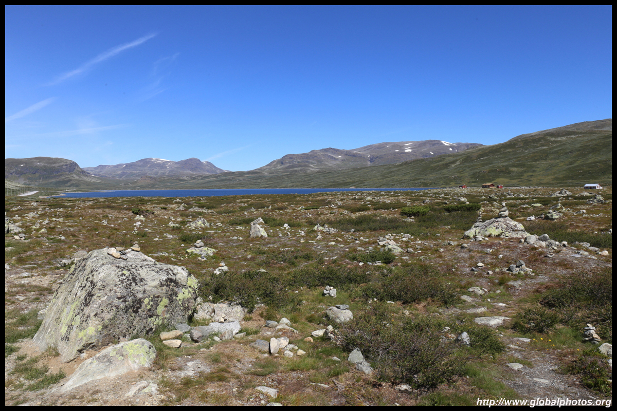
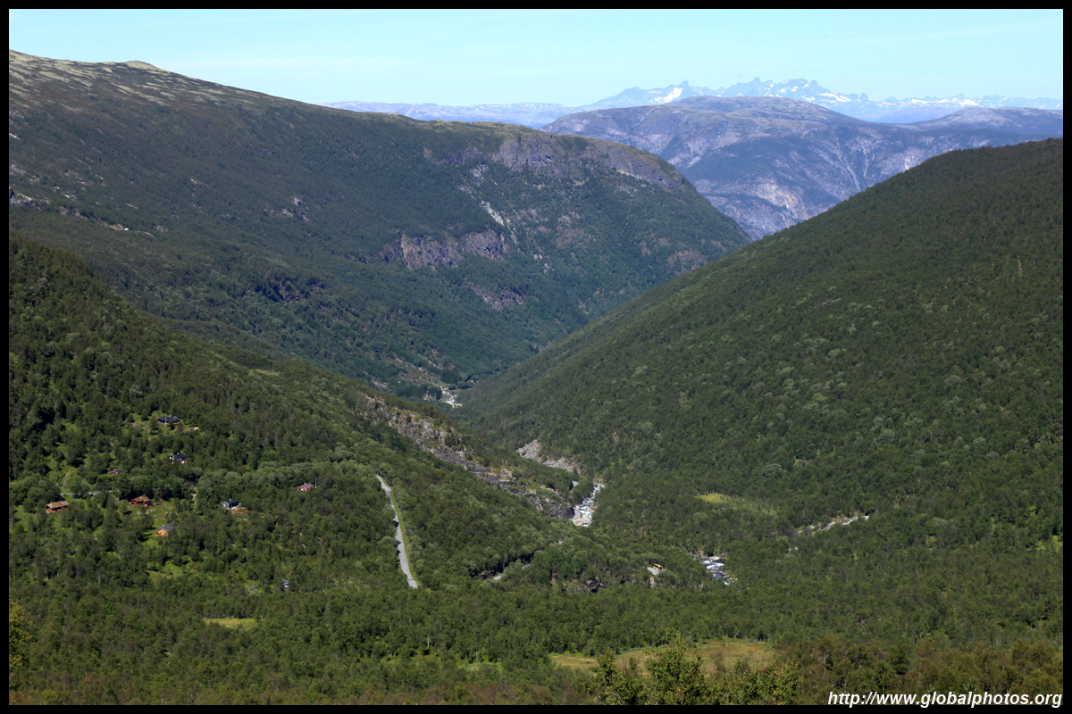
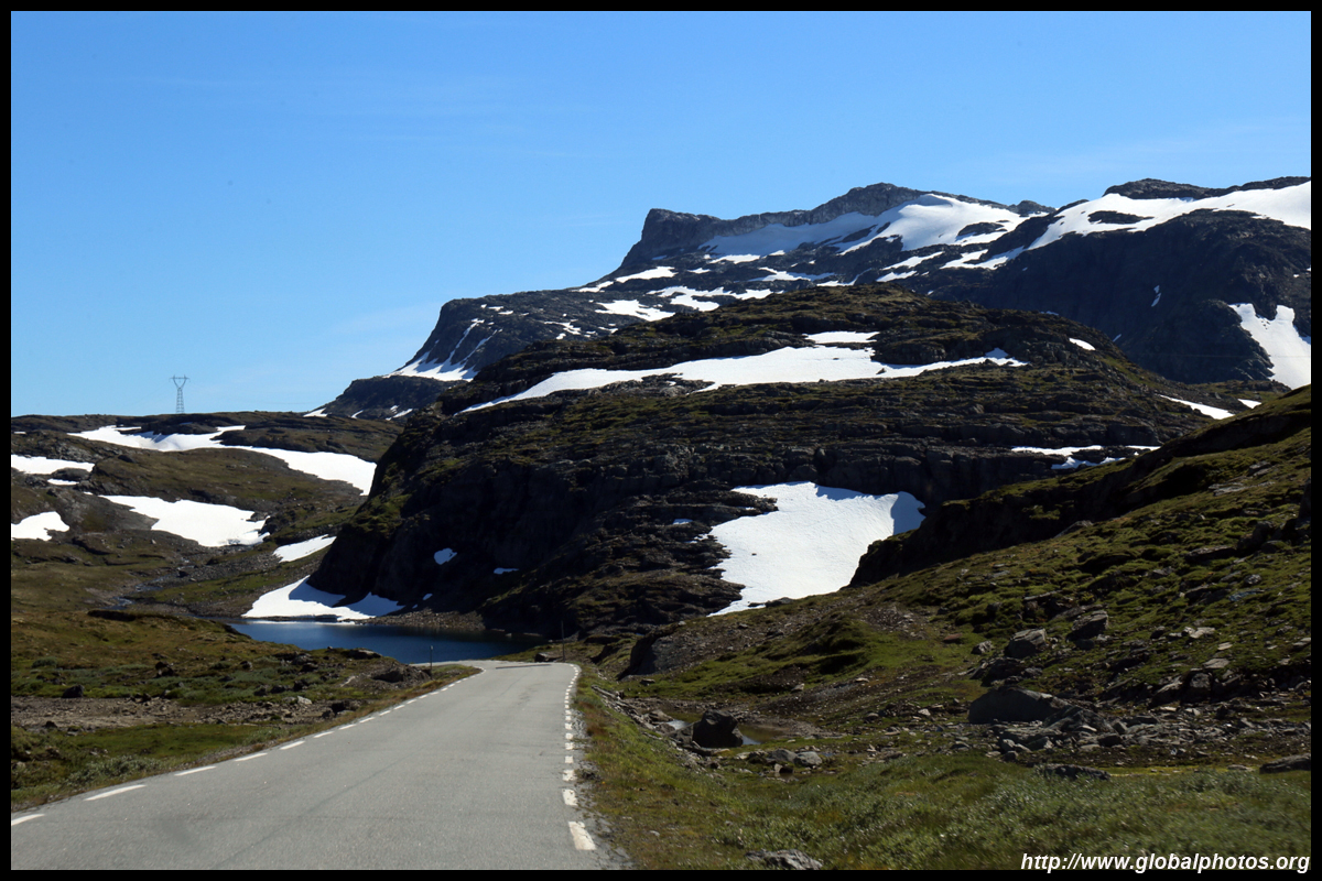
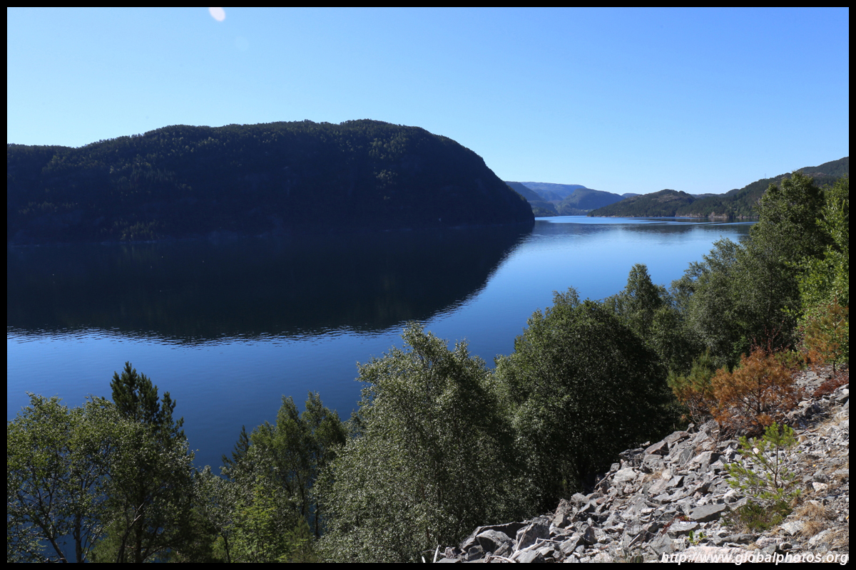
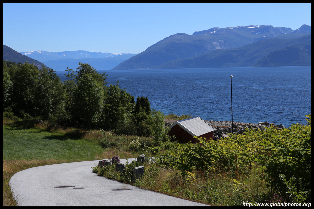
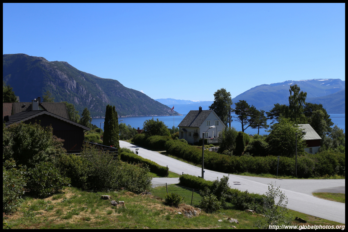
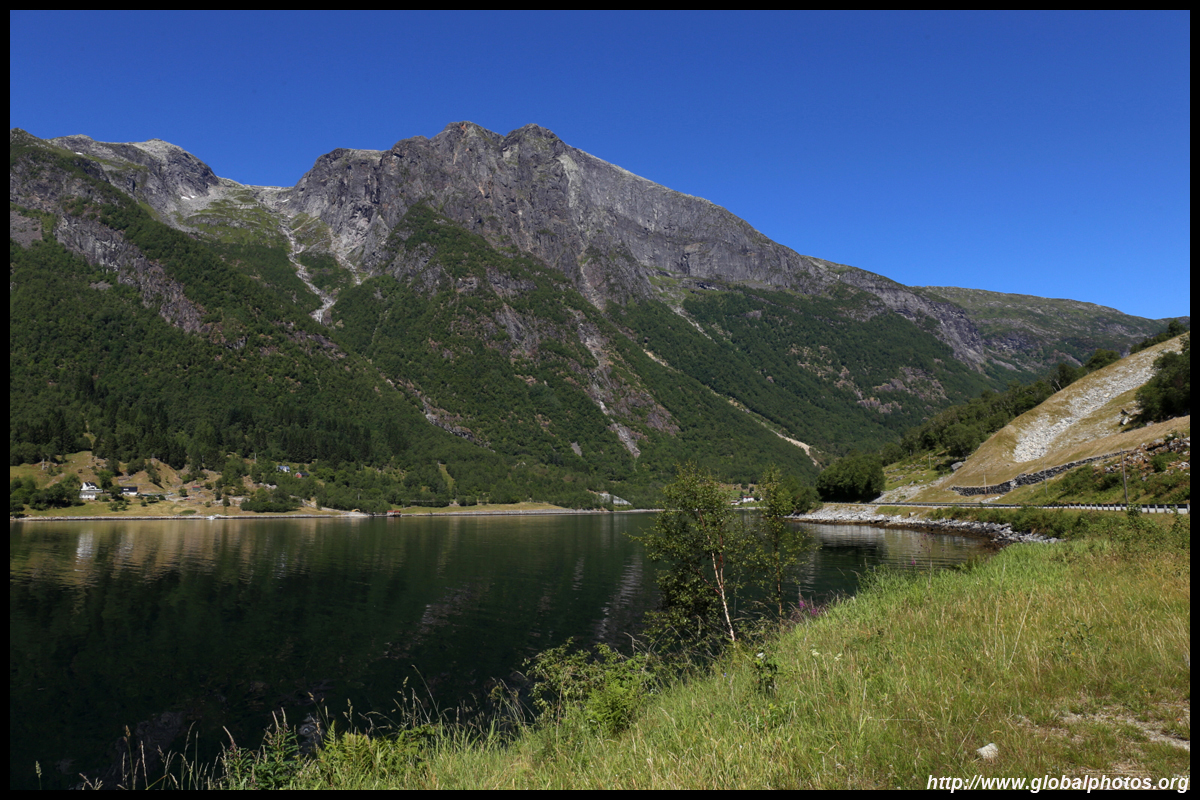
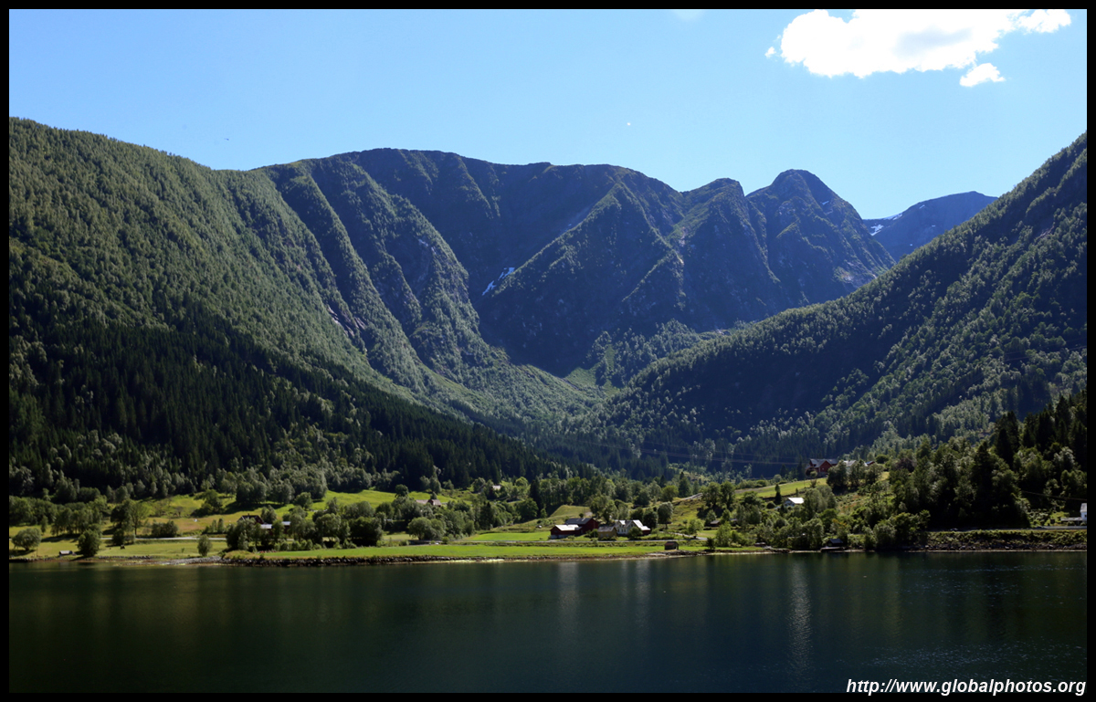
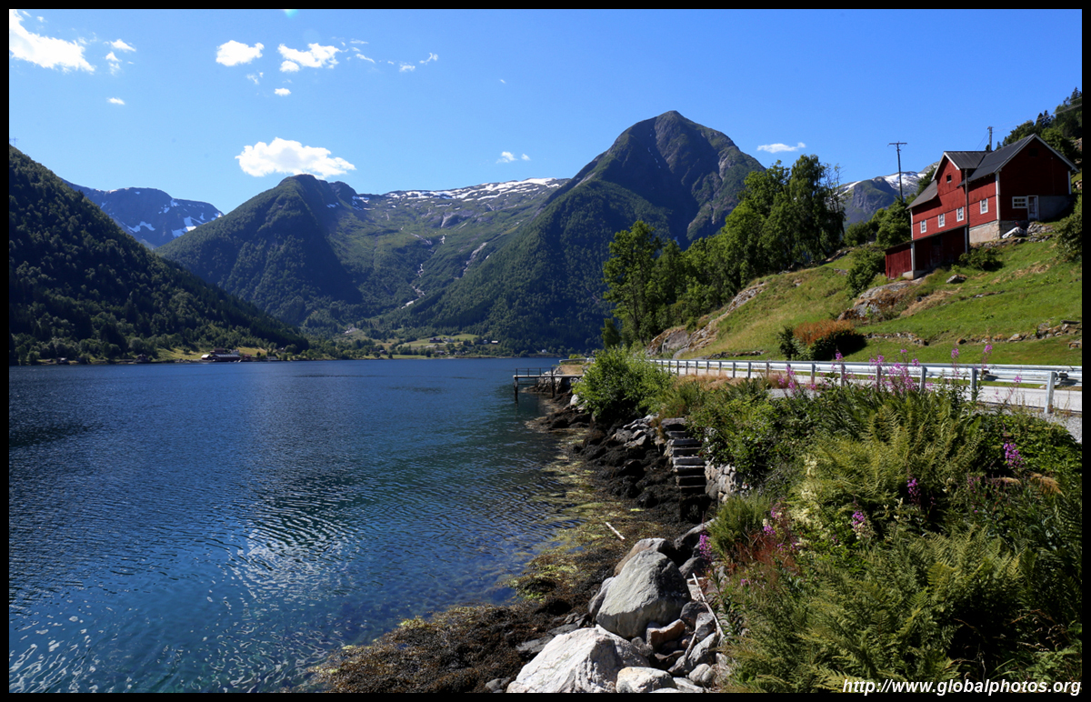
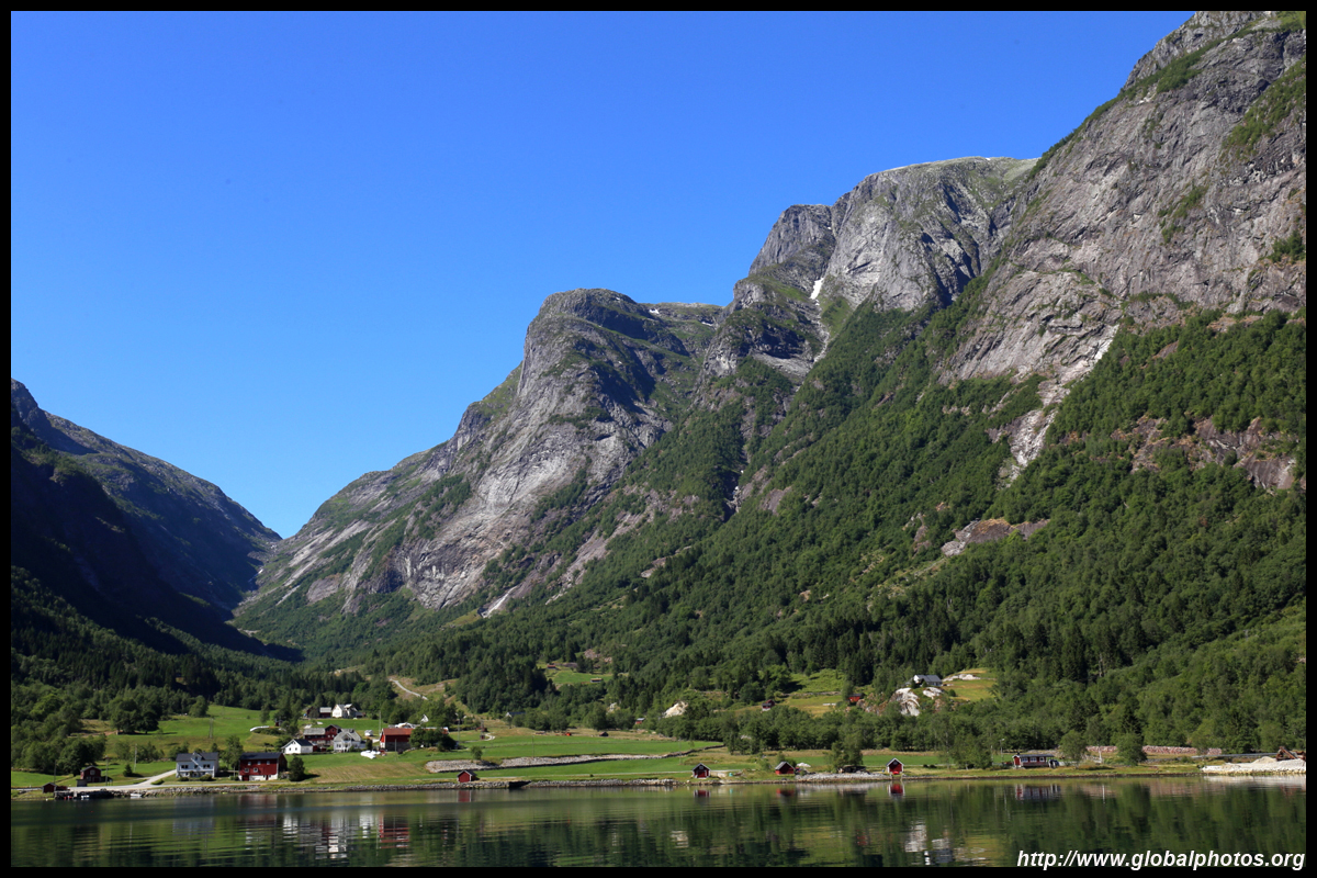
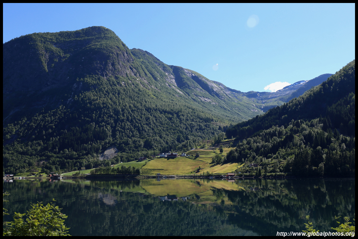
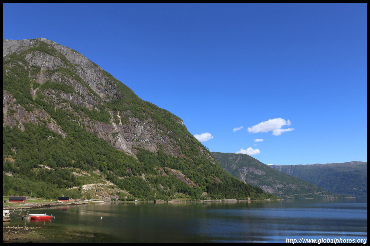
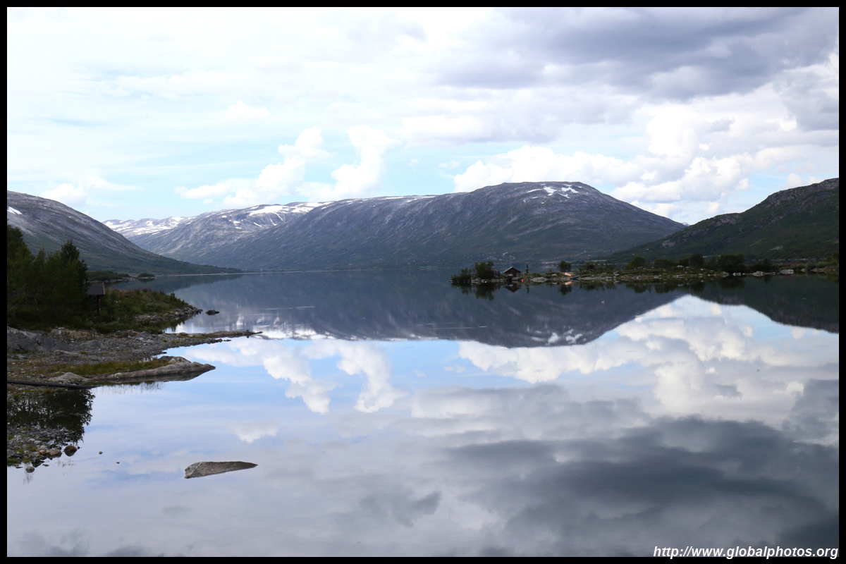
Change to highway 7, which runs along the southern edge of the fjord. The next major town is Eidfjord.

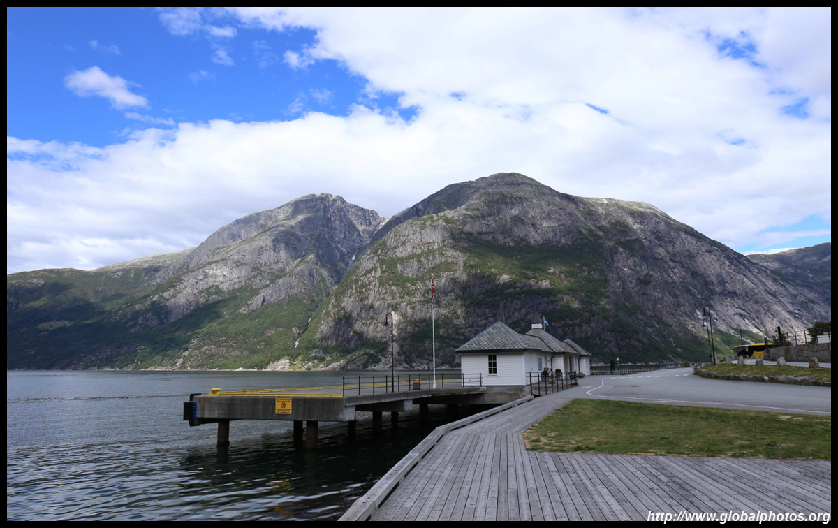
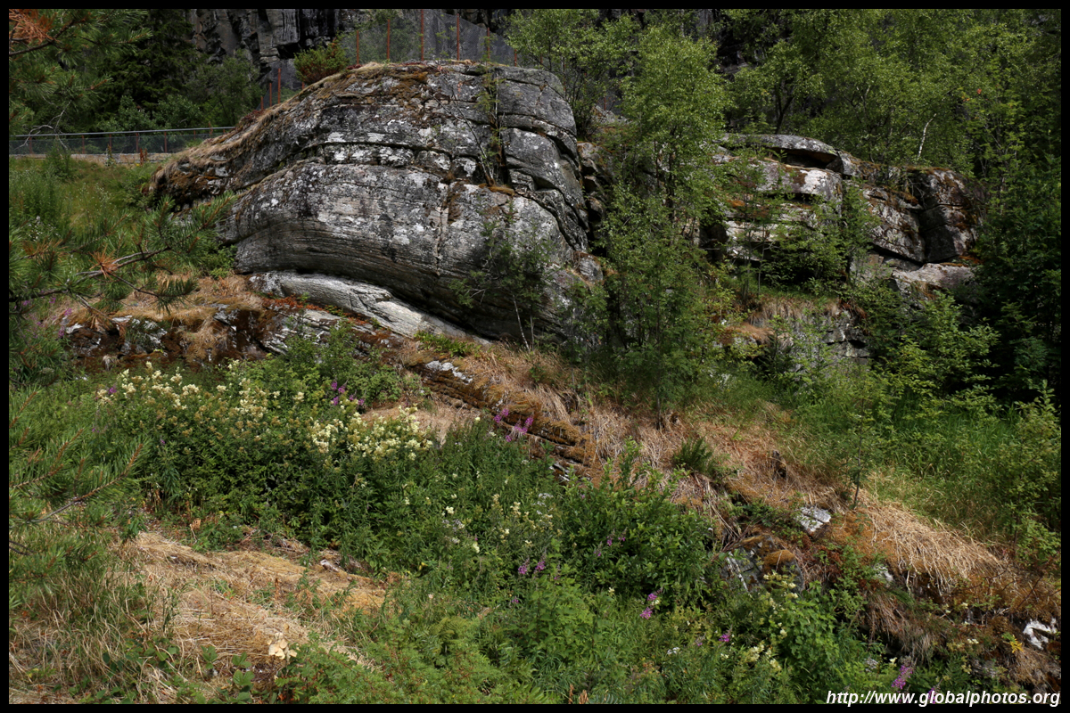
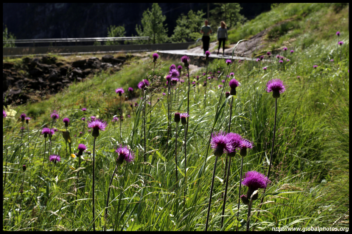
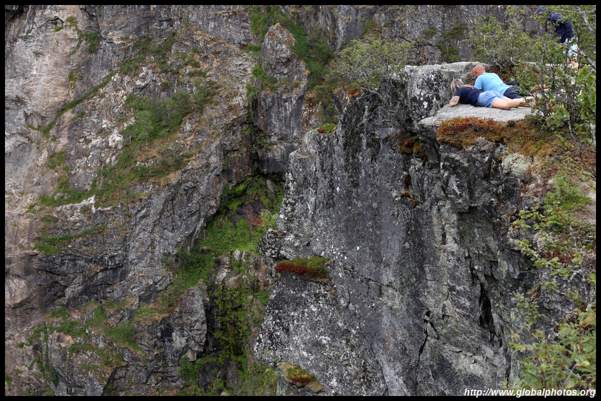
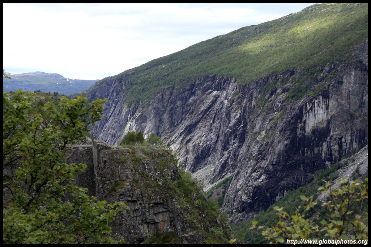
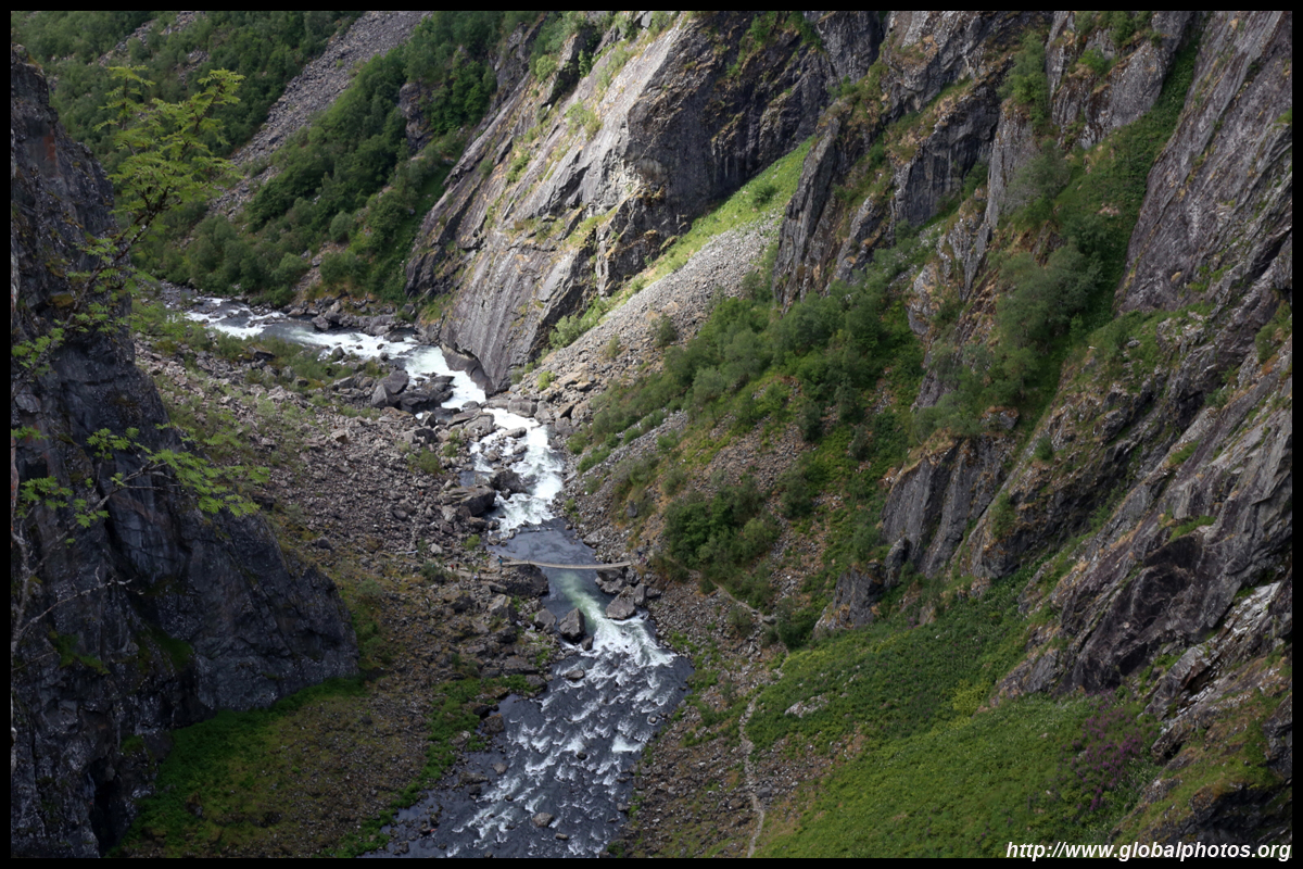
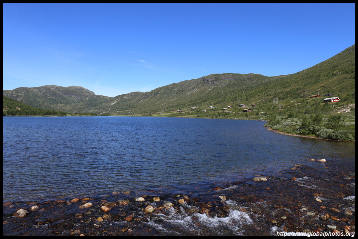
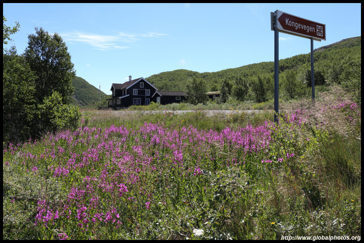
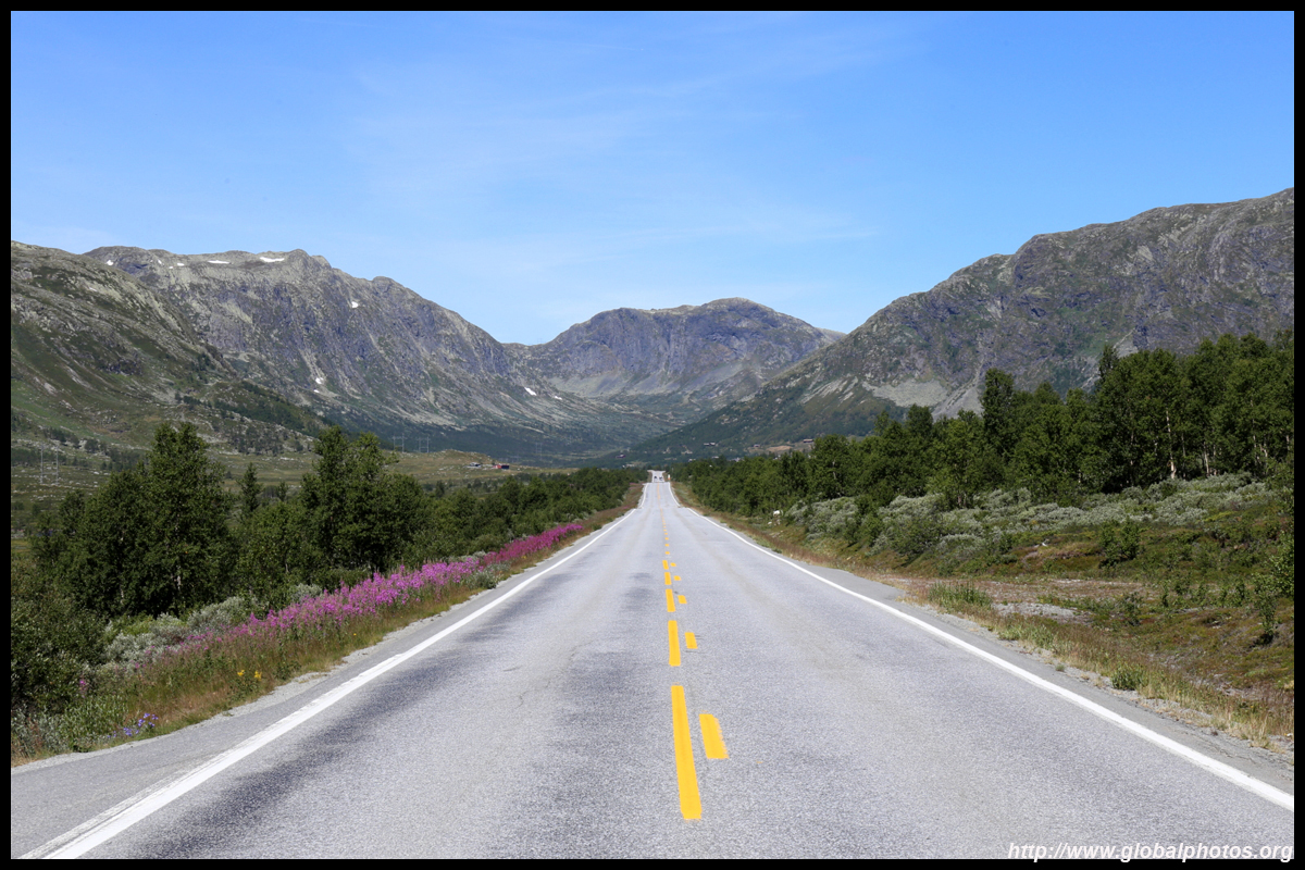
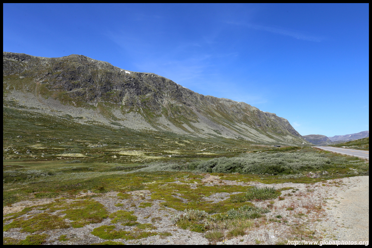
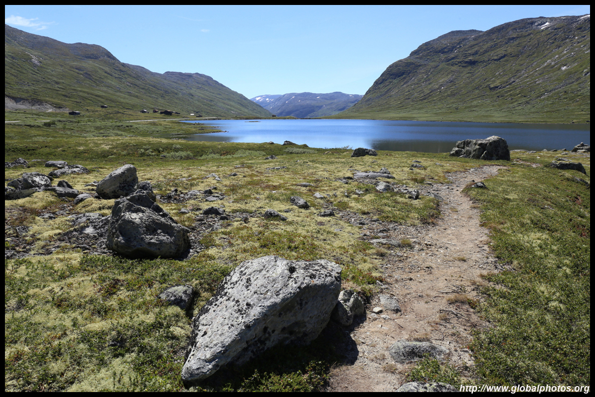
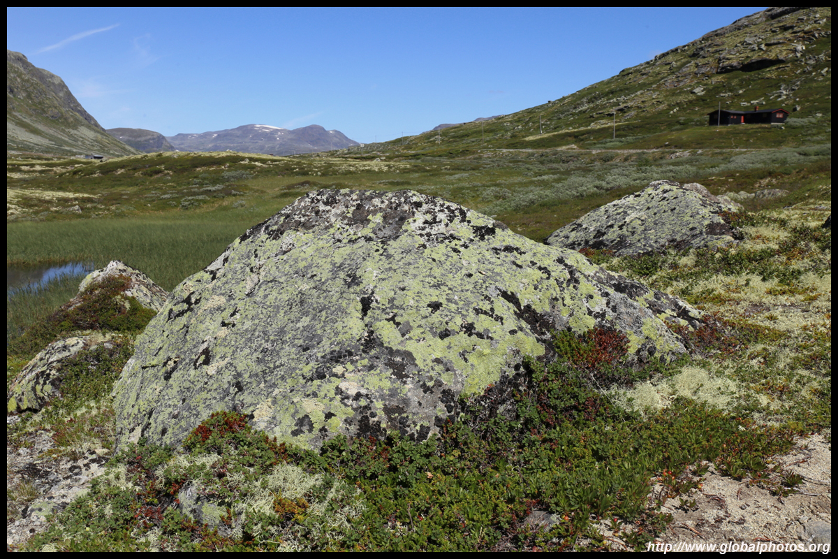
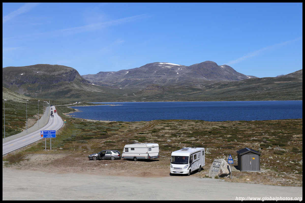
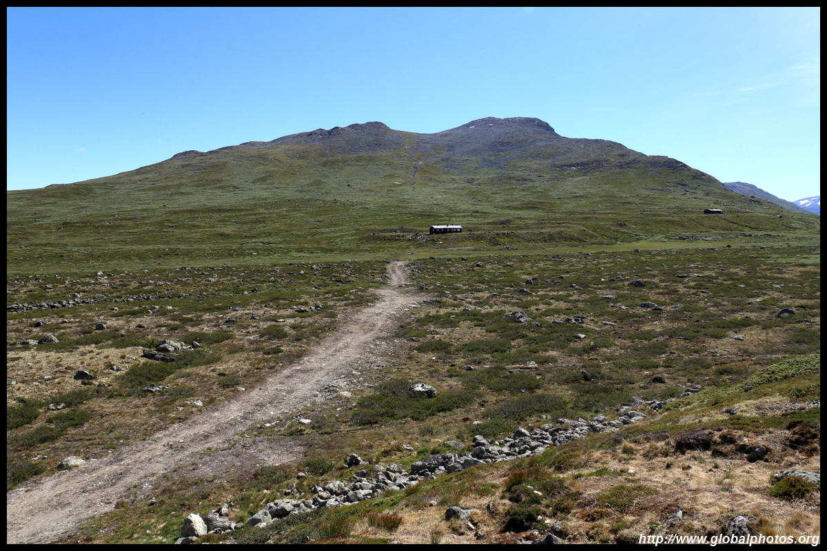
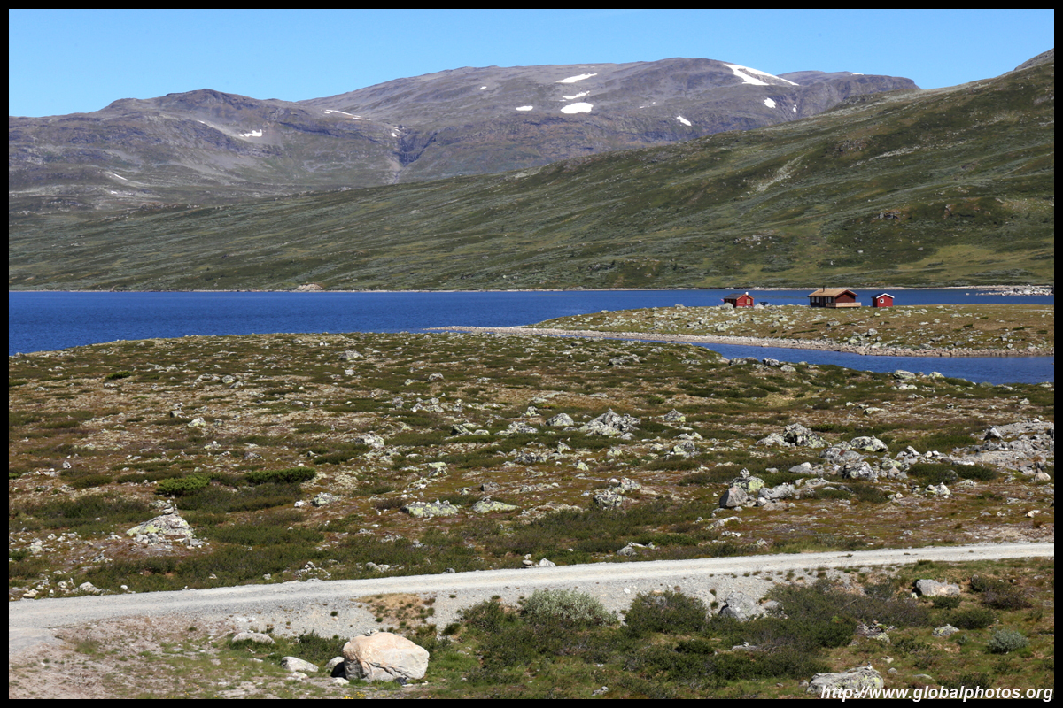
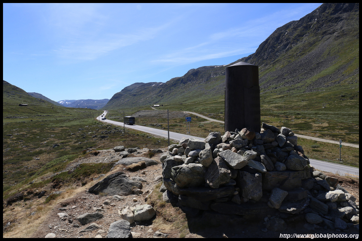
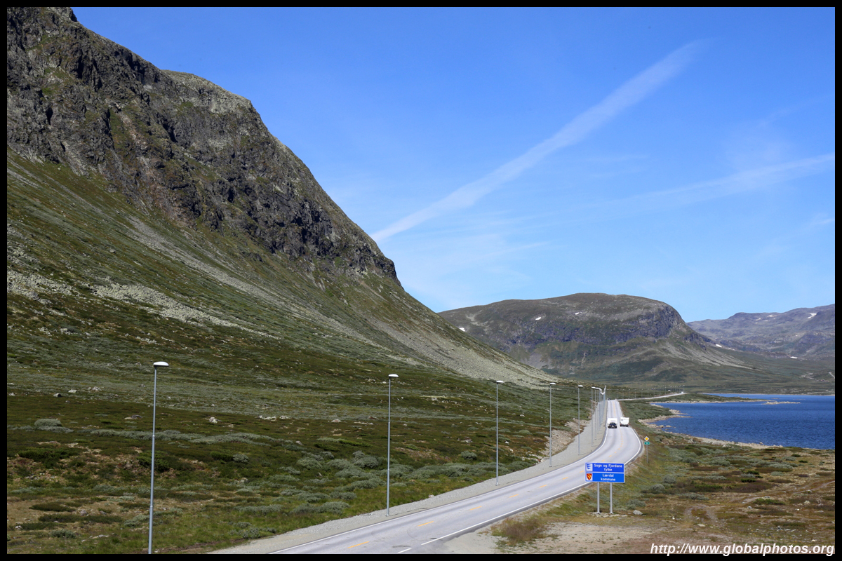
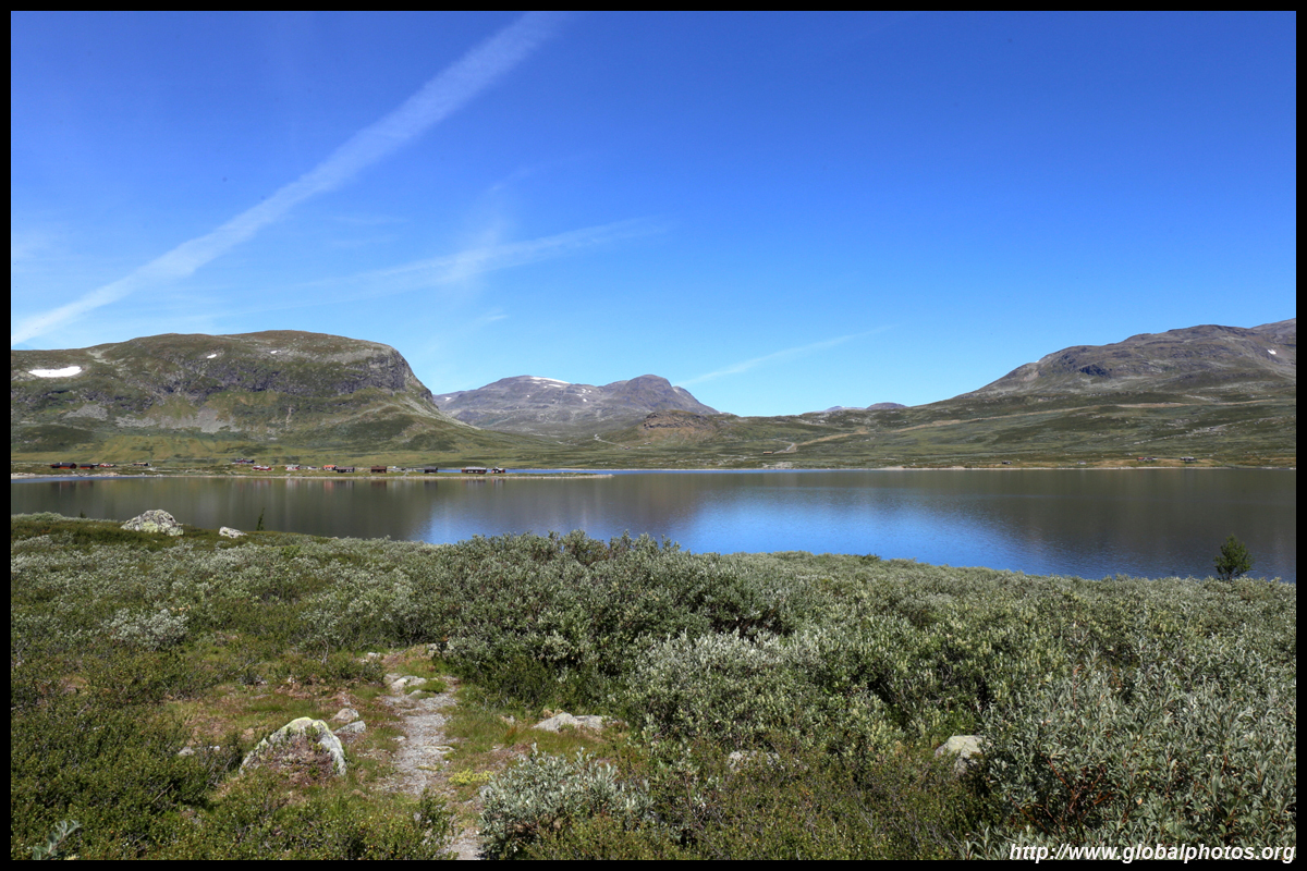
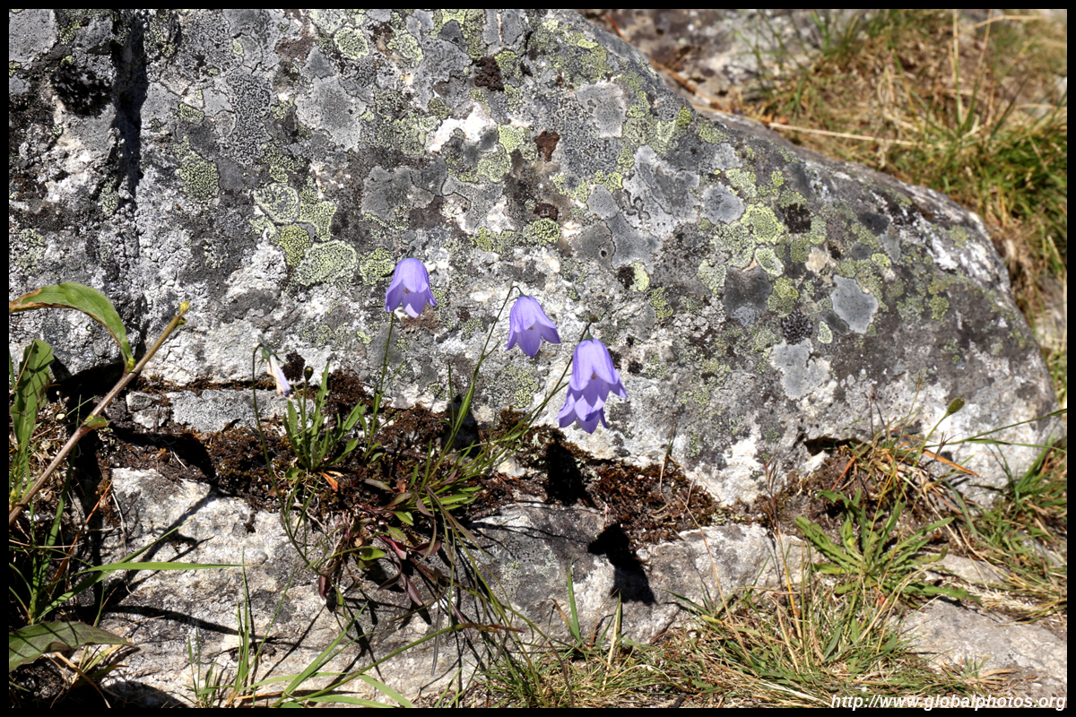
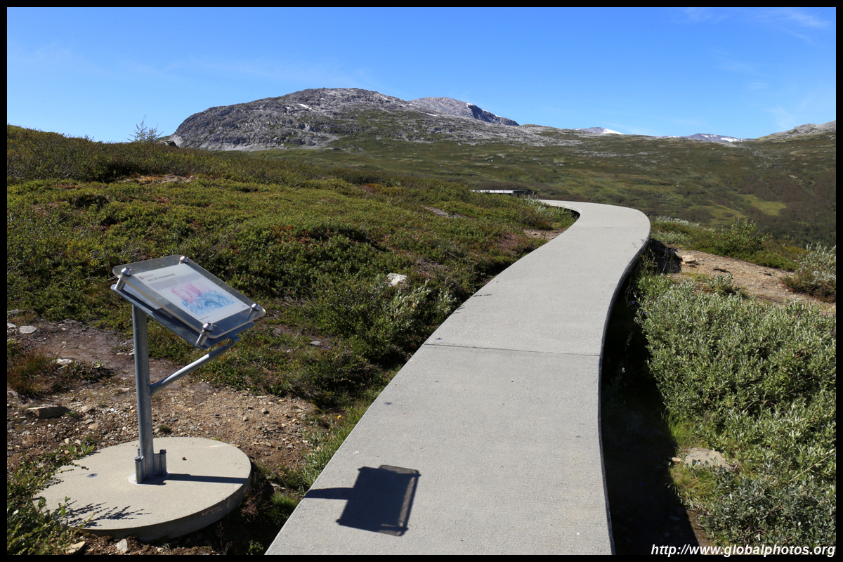
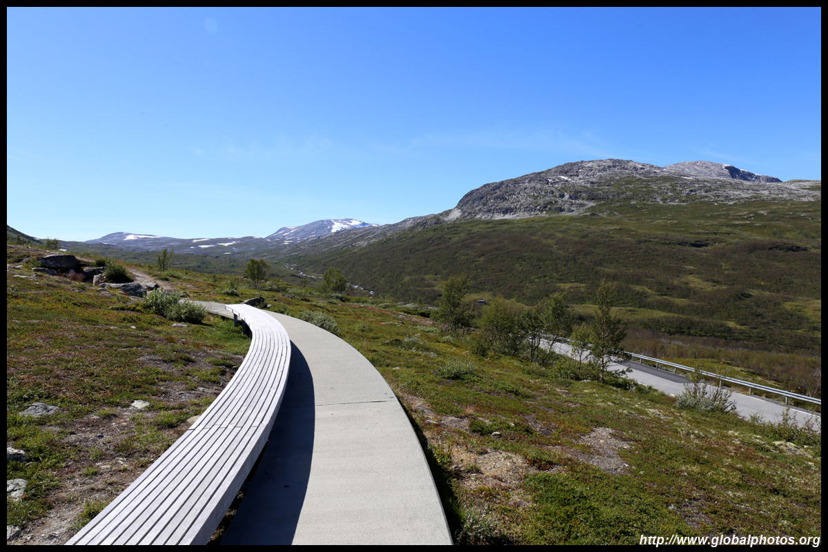
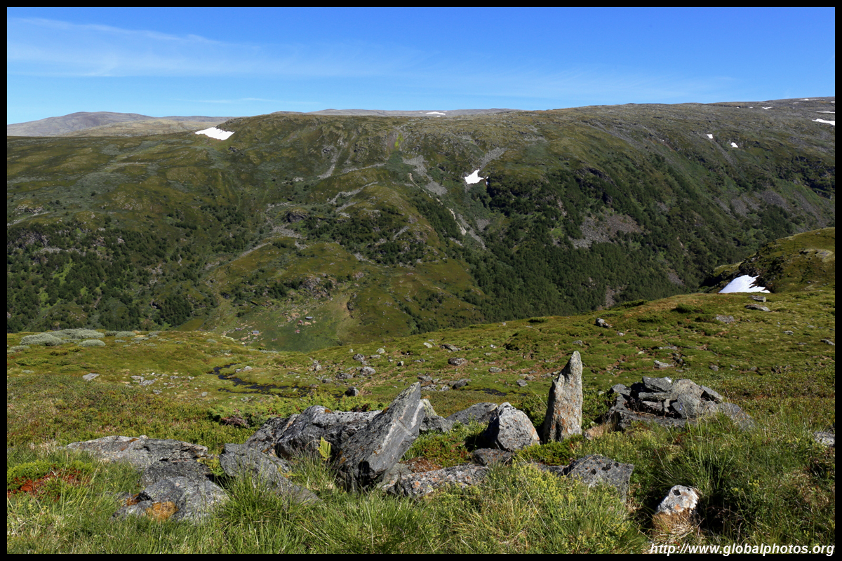
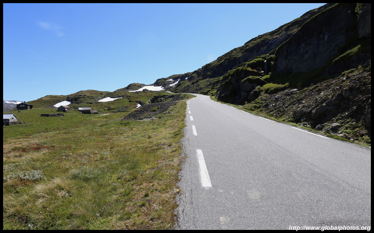
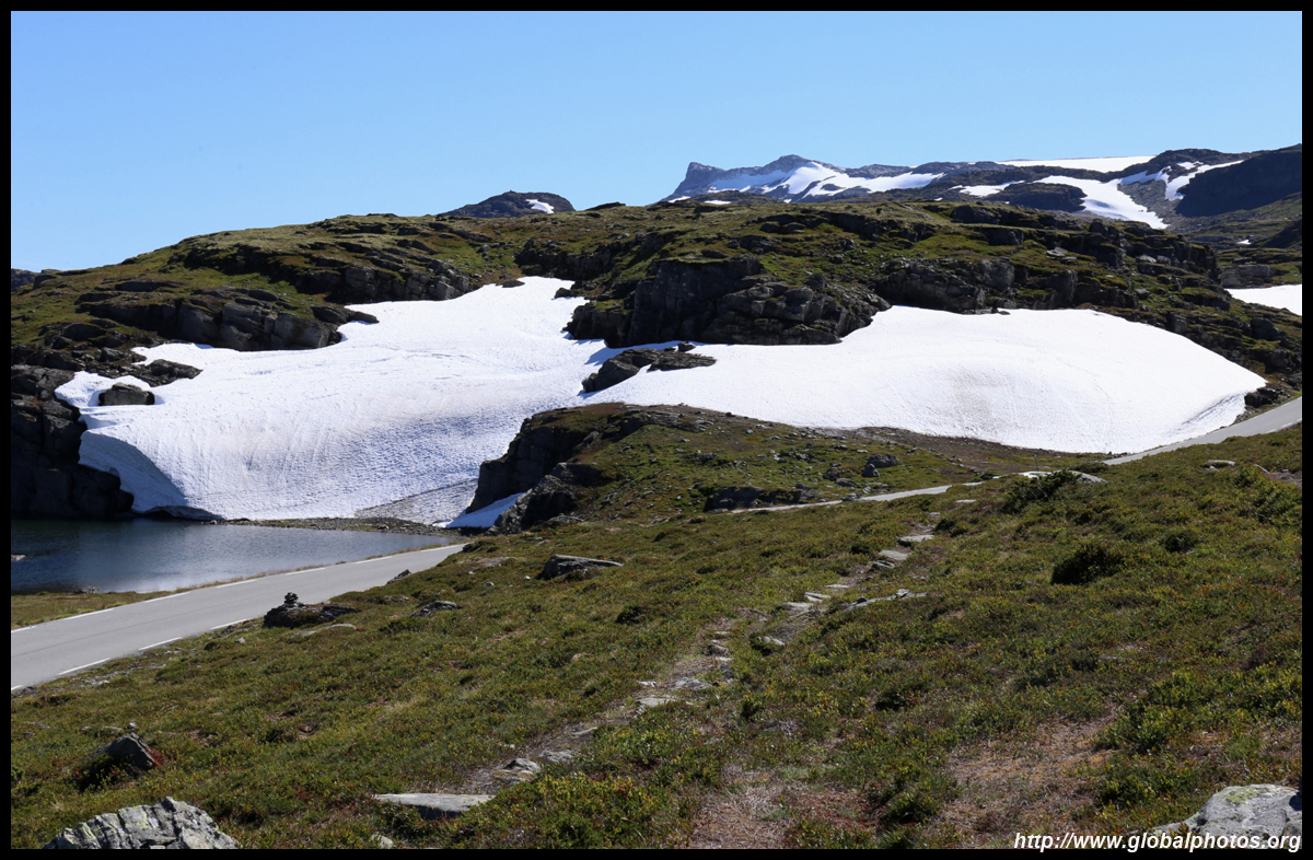
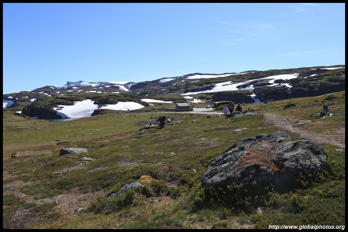
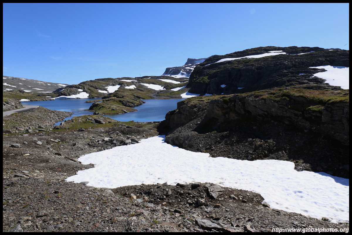
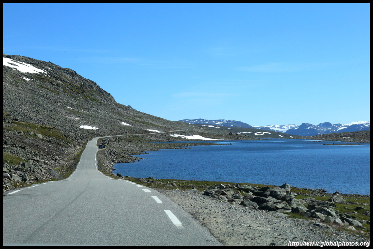
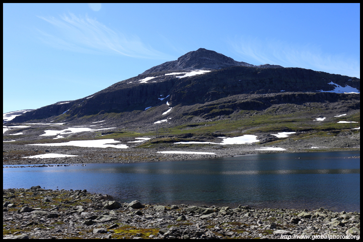
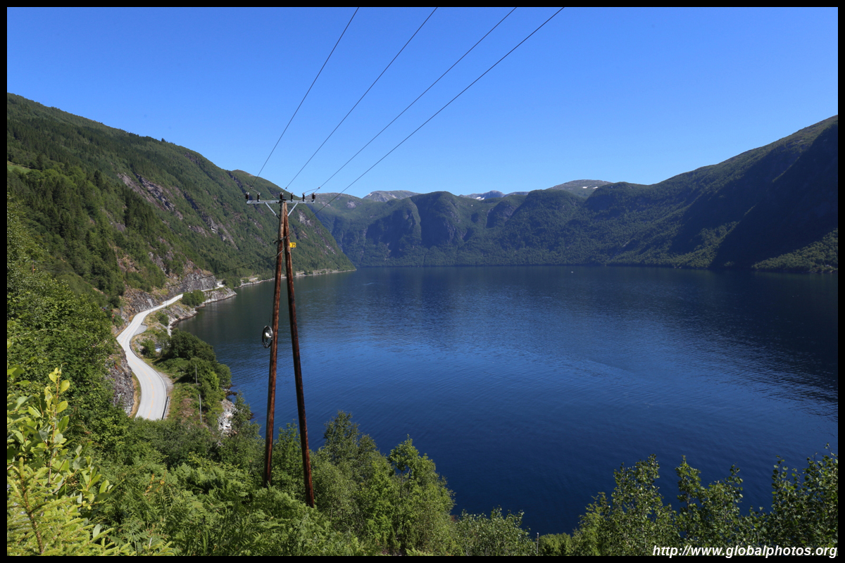
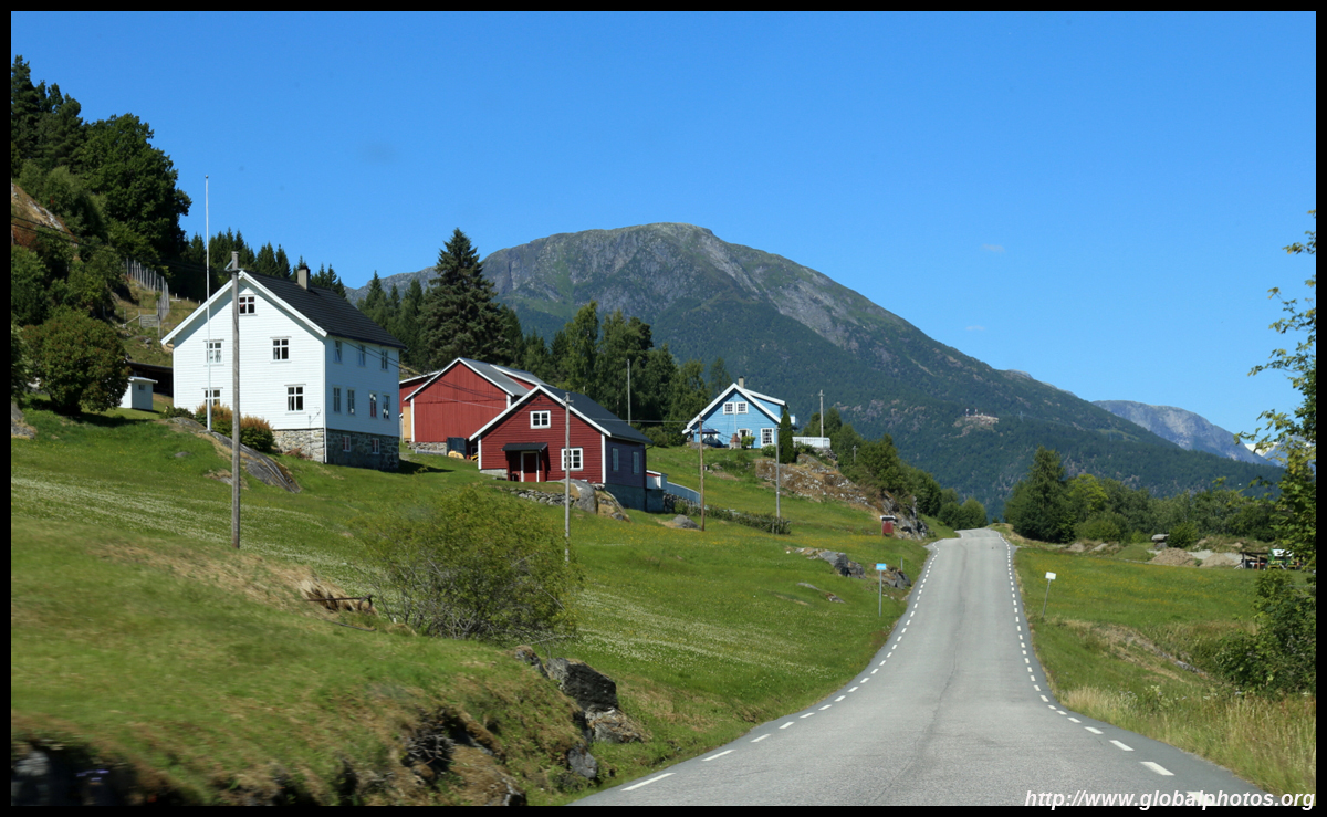
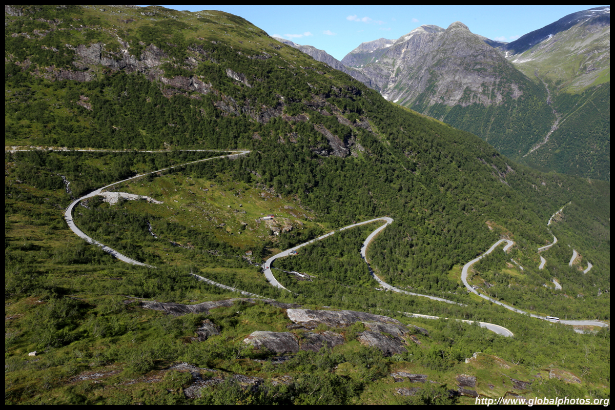
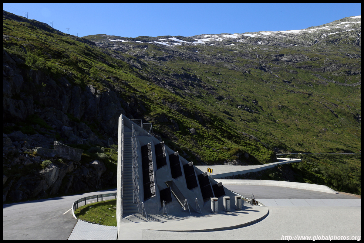
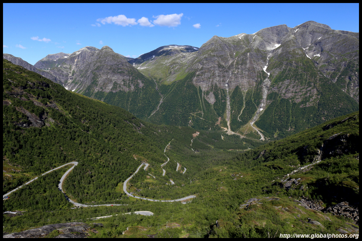
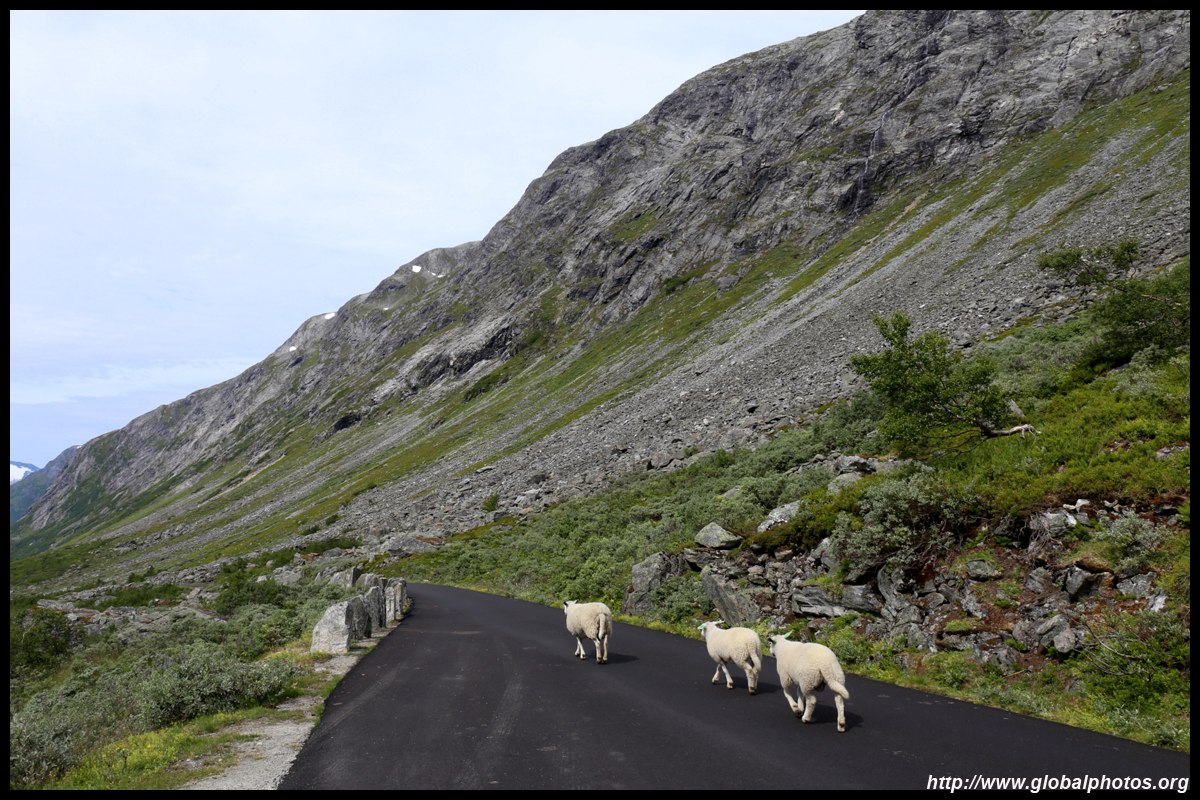
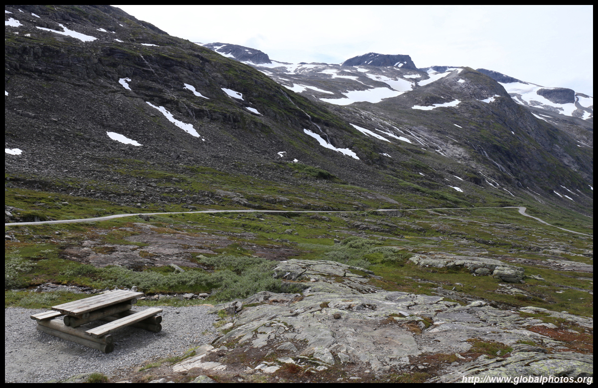
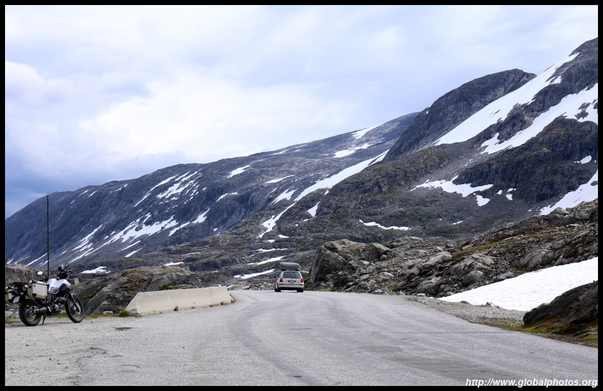
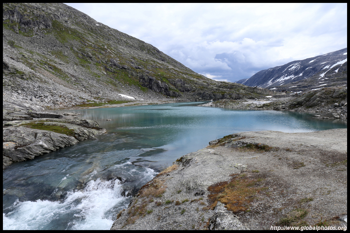
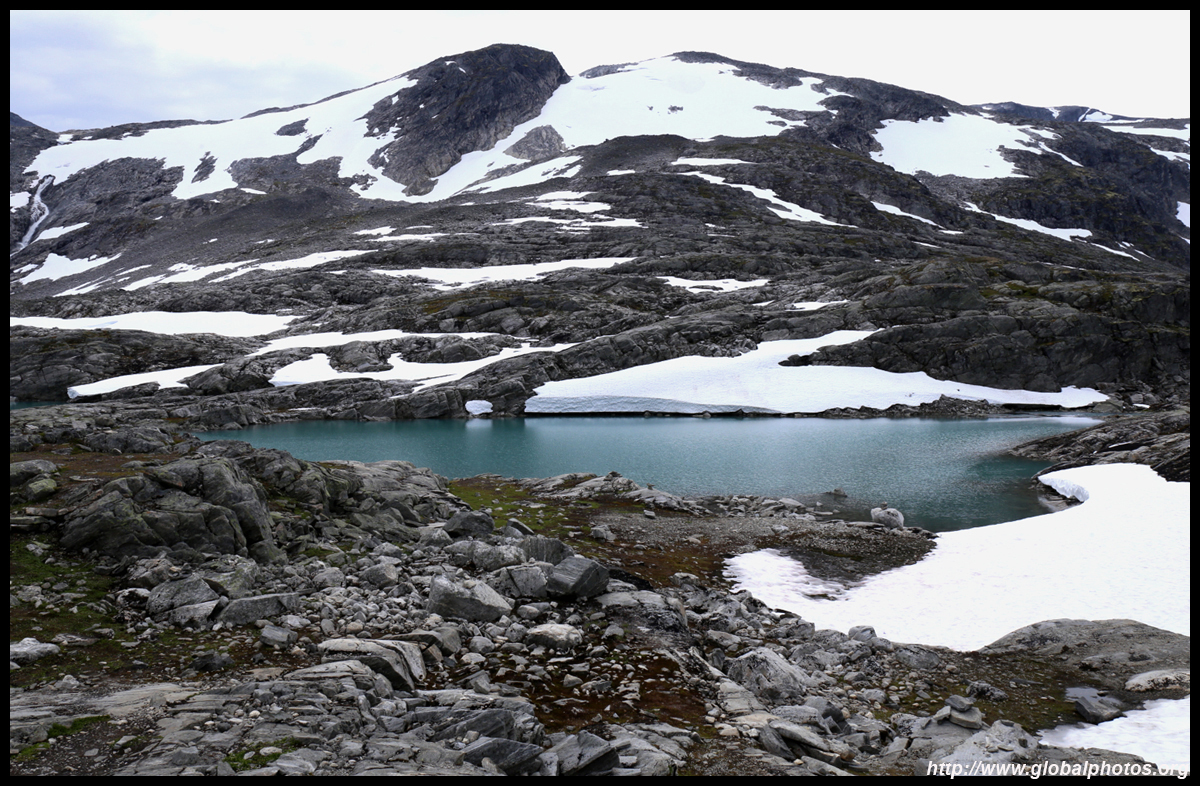
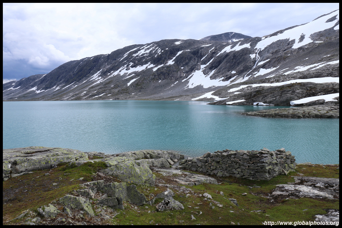
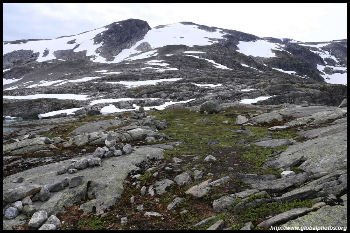
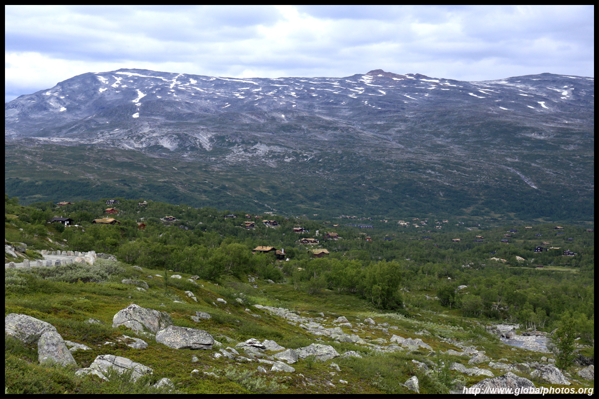
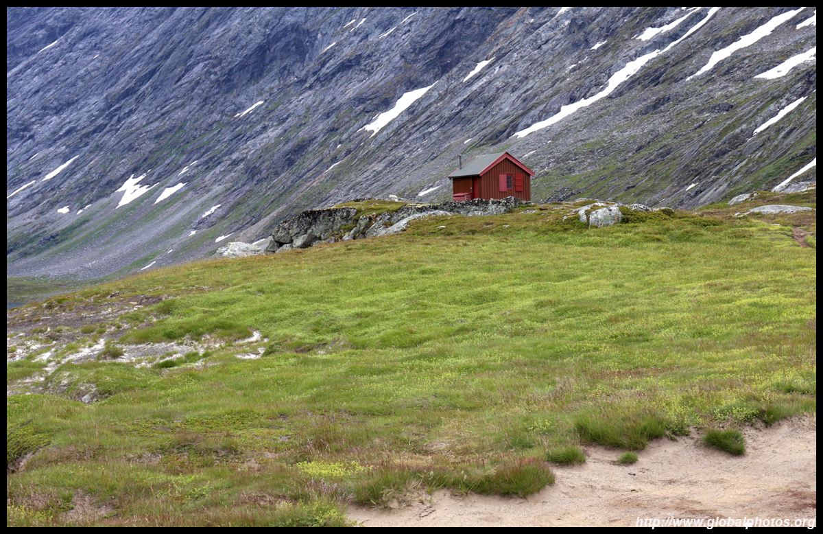
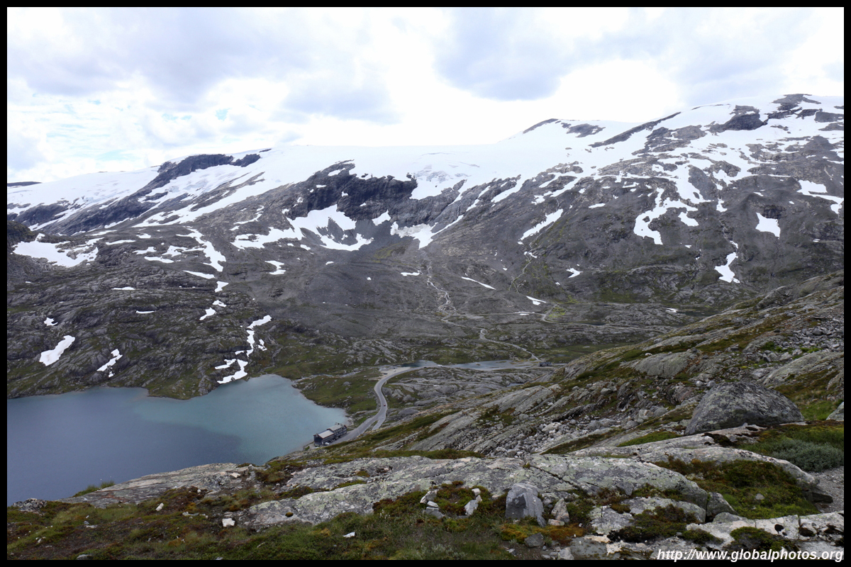
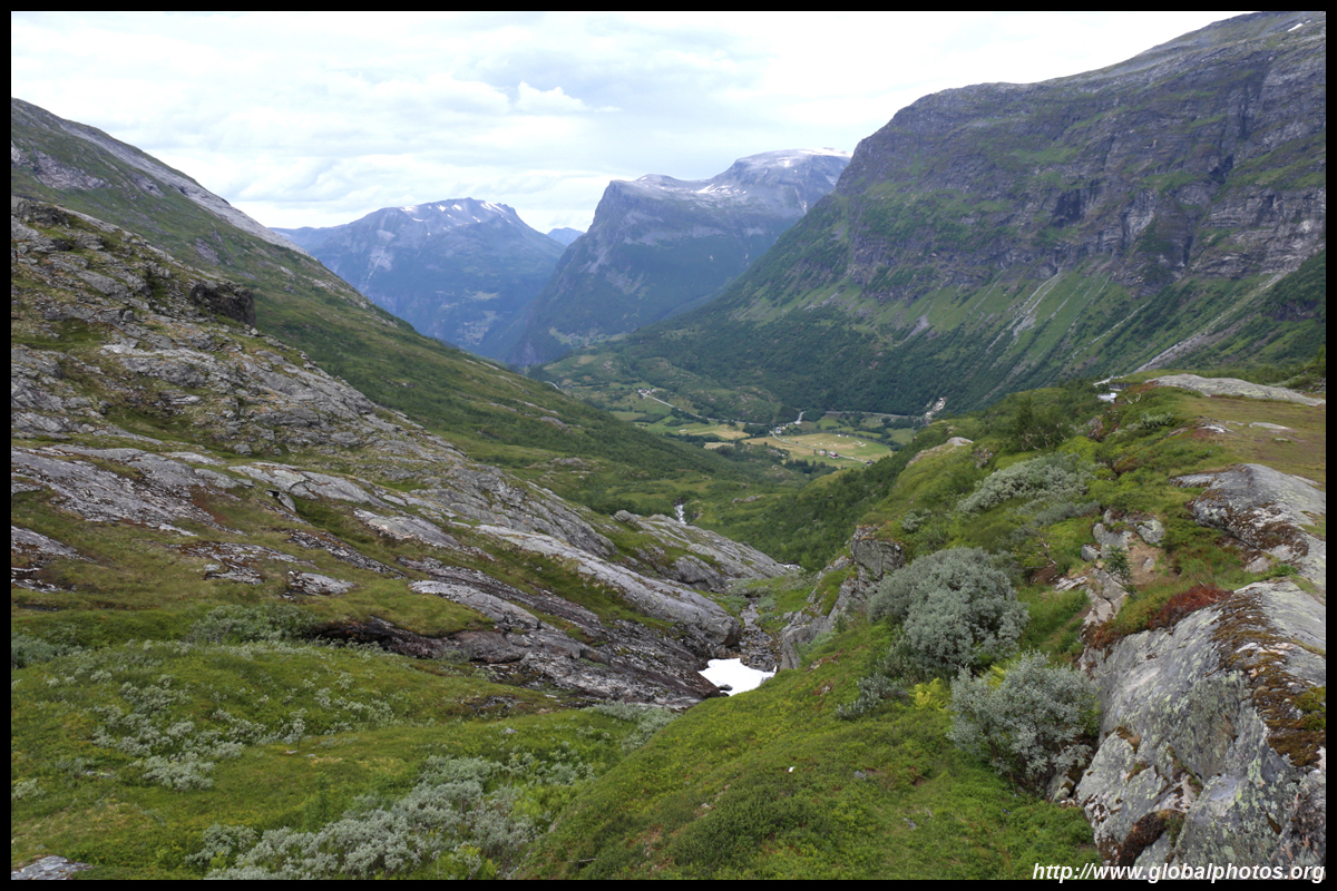
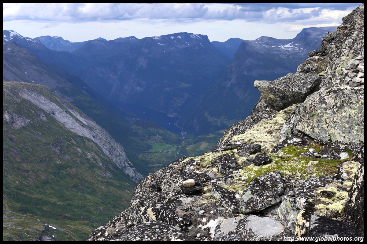
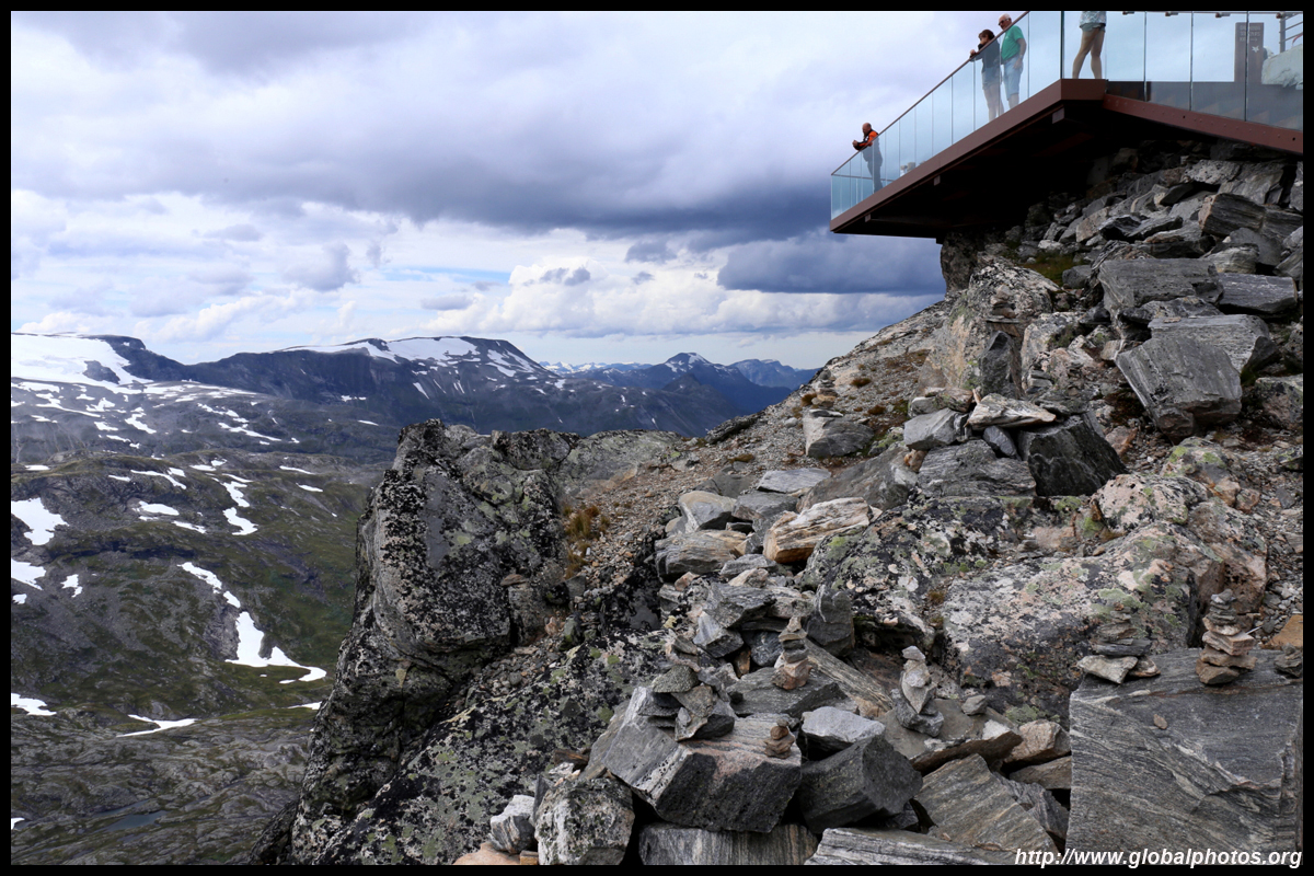
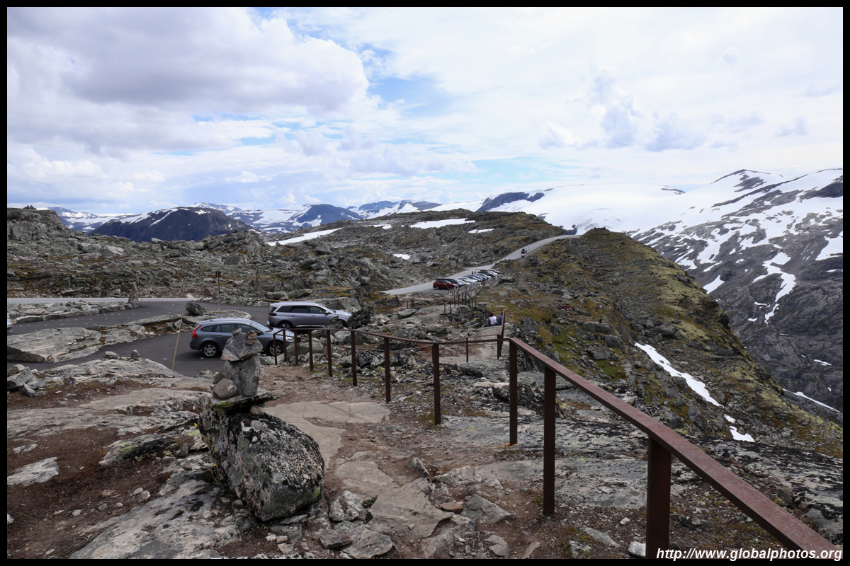
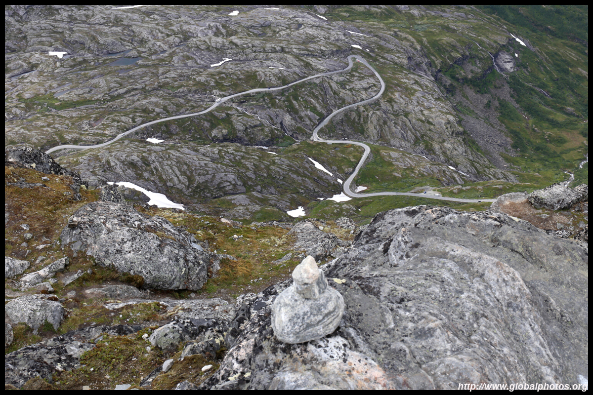
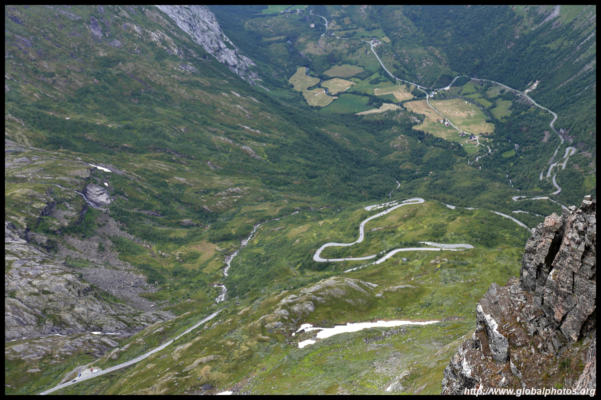
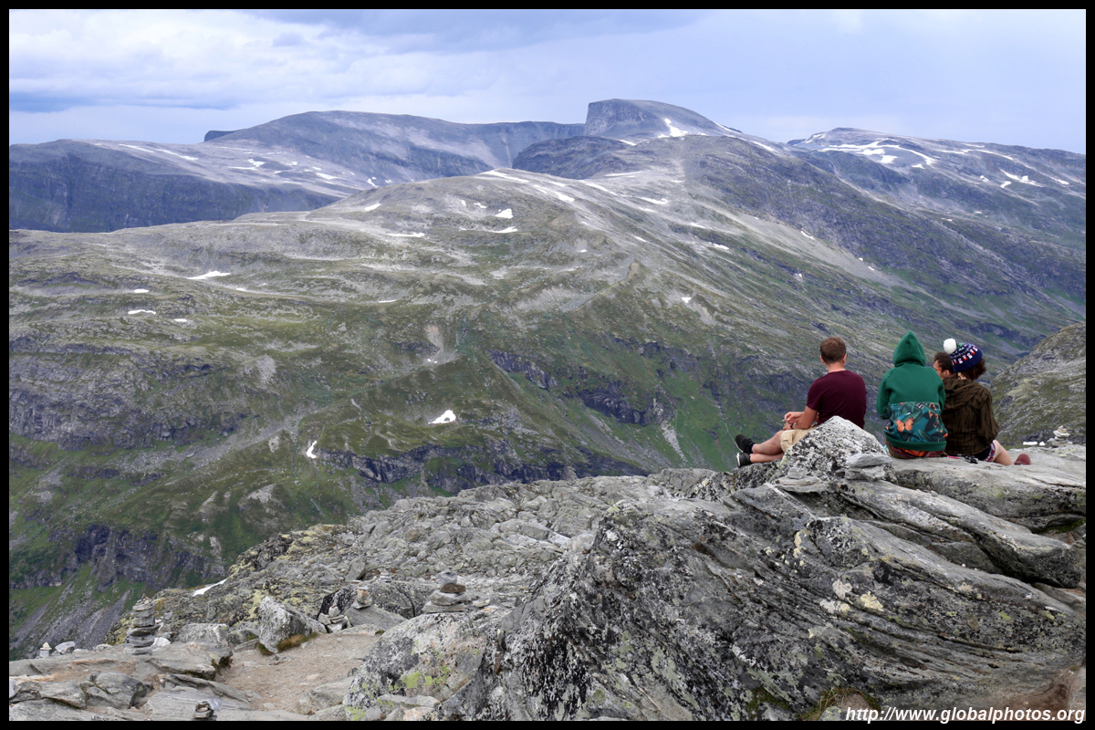
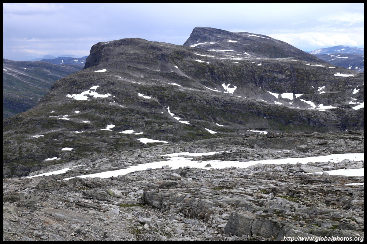
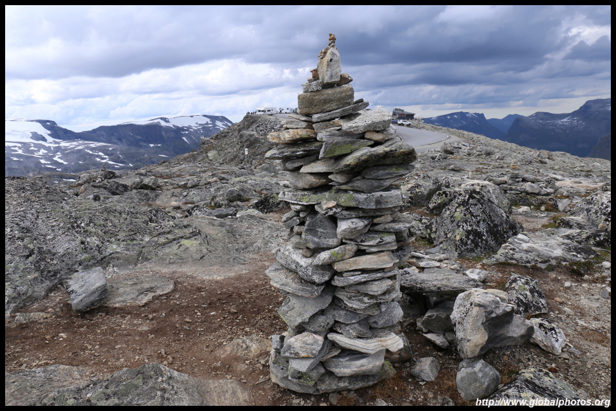
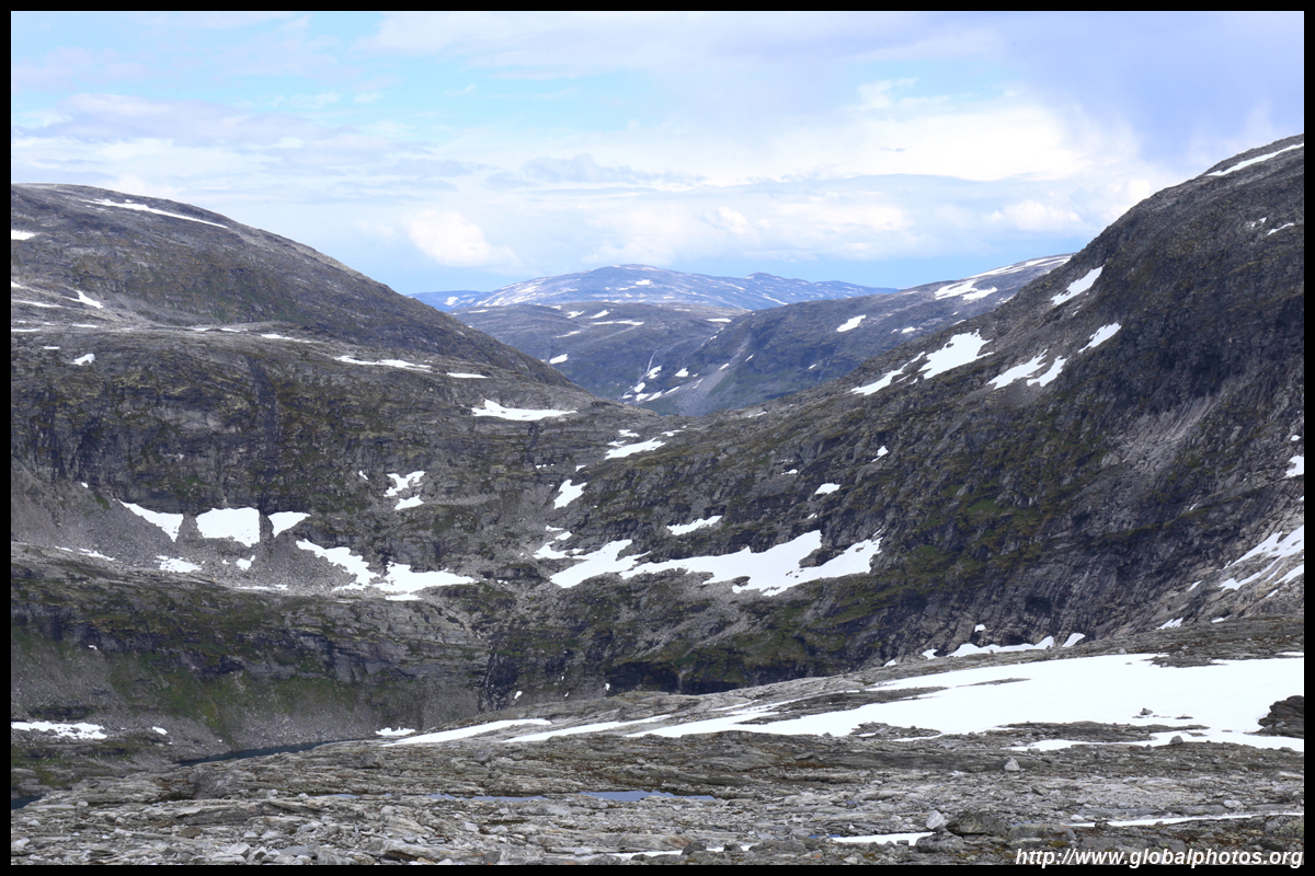
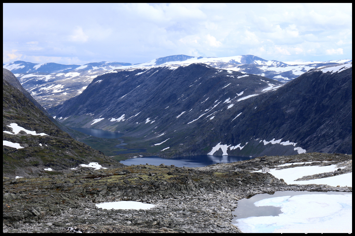
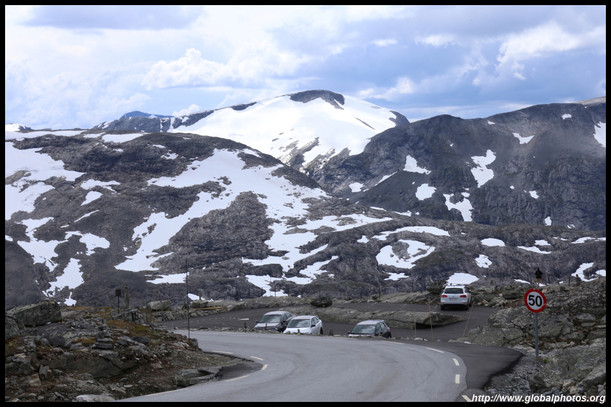
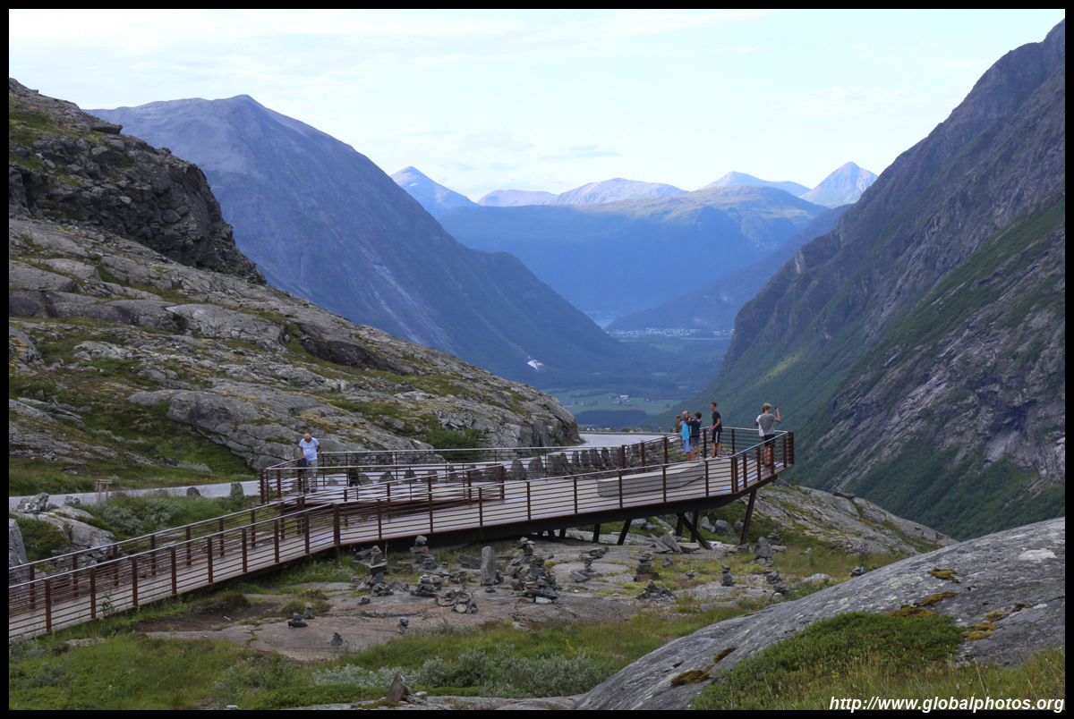
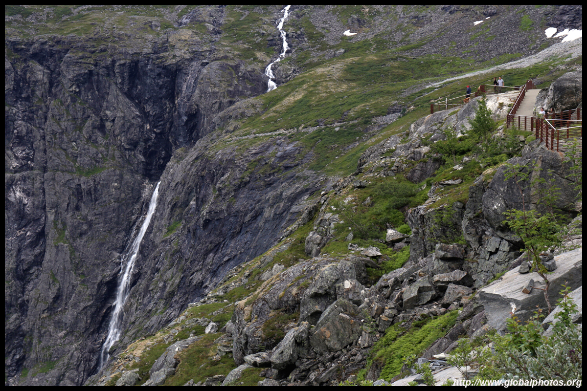
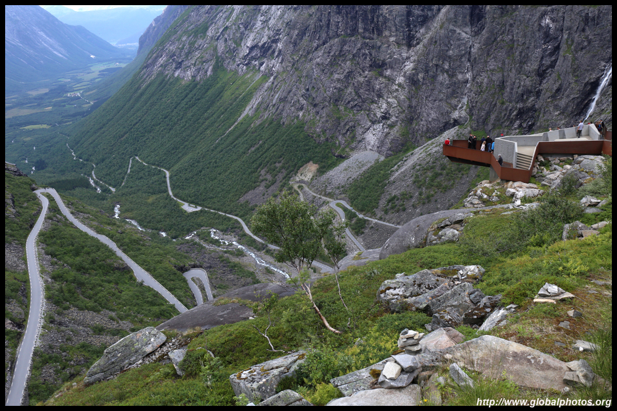
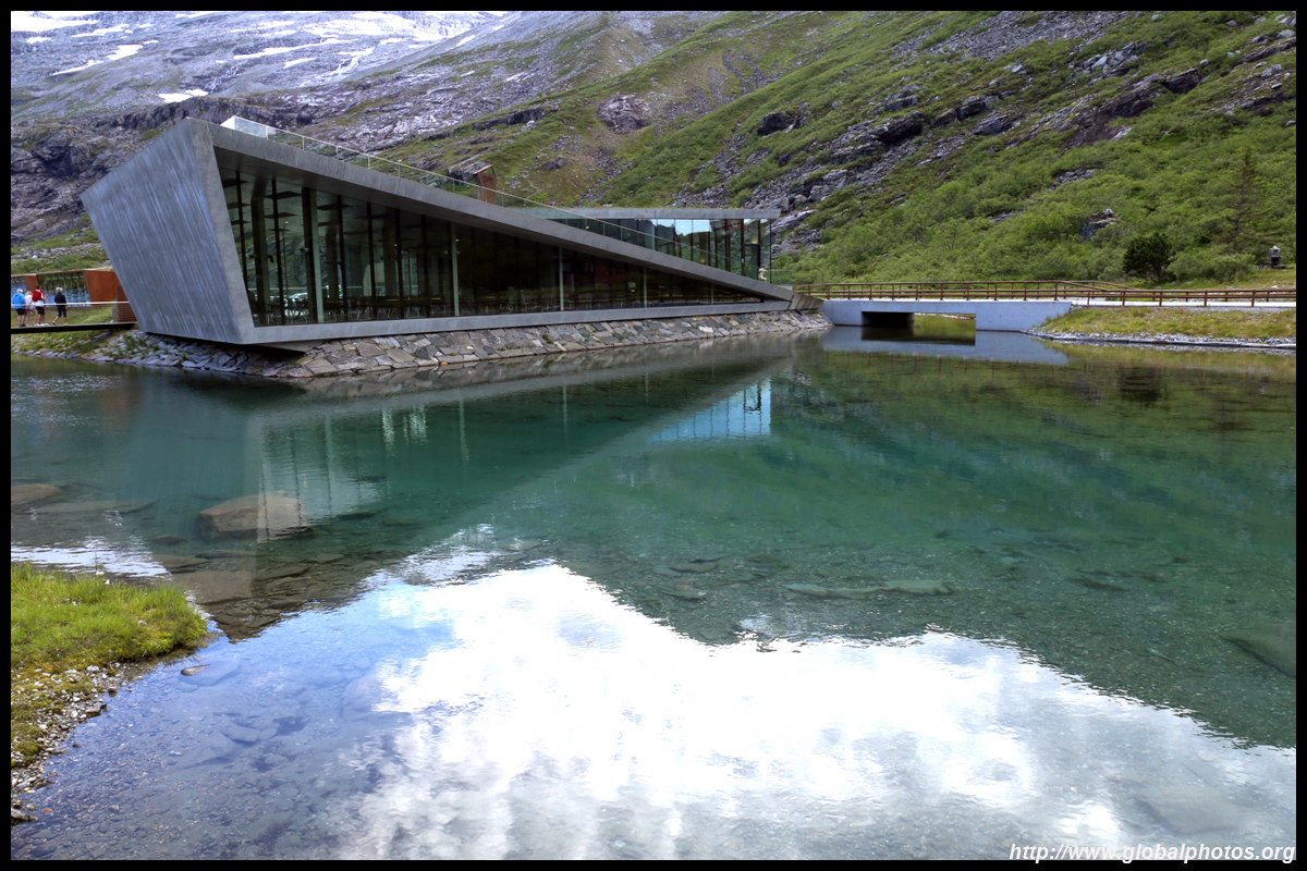
Highway 7 then makes its way uphill through a number of tunnels, yet another engineering marvel. Do stop at the various pull-outs along the way, hike out and enjoy the views.

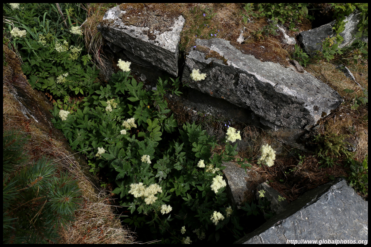
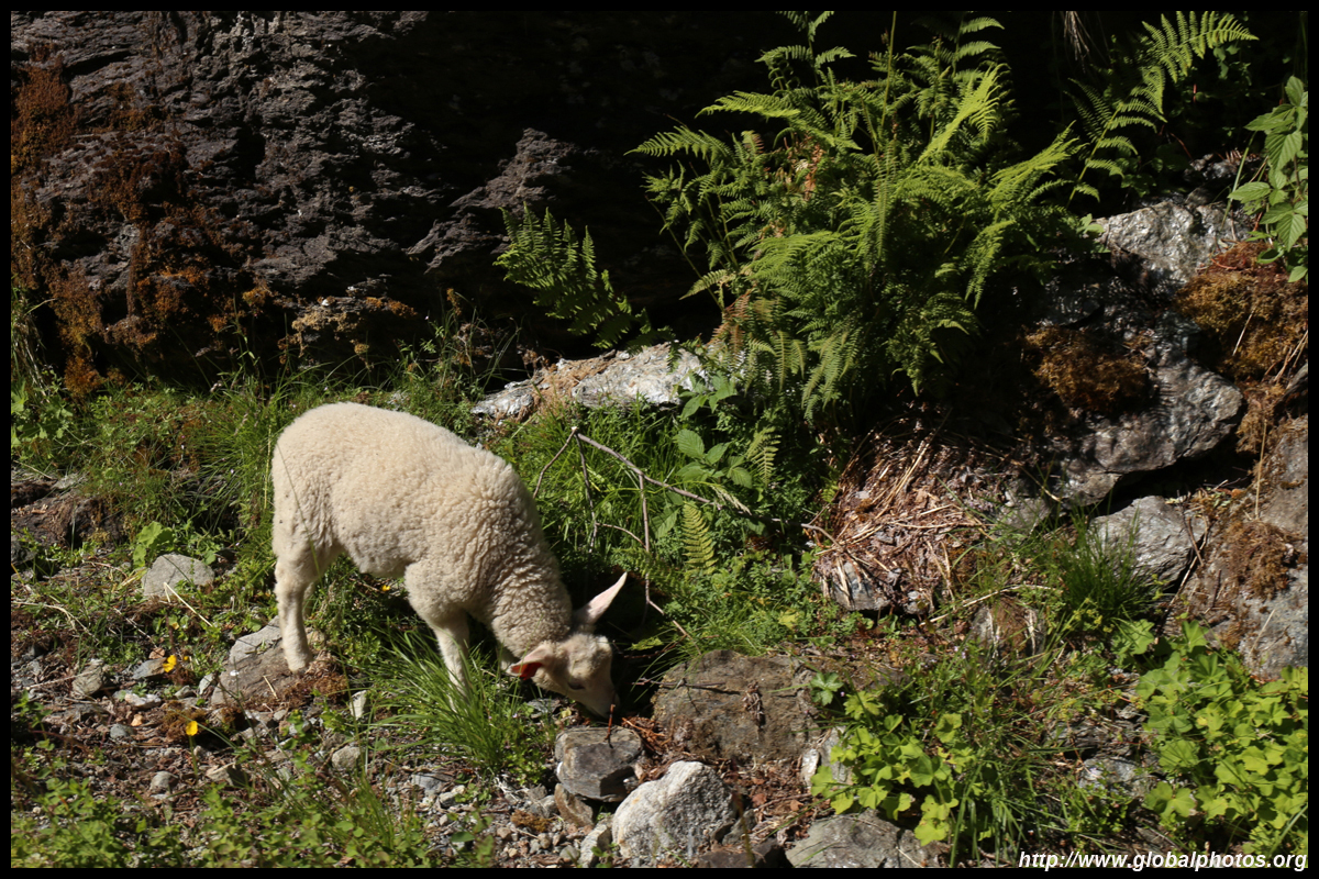
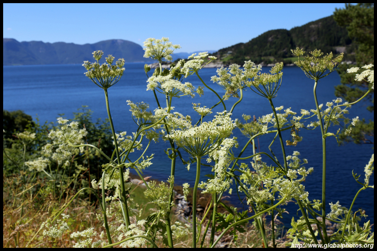
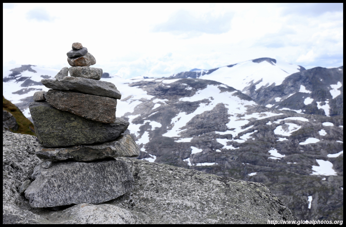
There are no safety railings, catch nets, and other gear to keep you away from nature, raw and wild. Take care when leaning against the cliff edges.
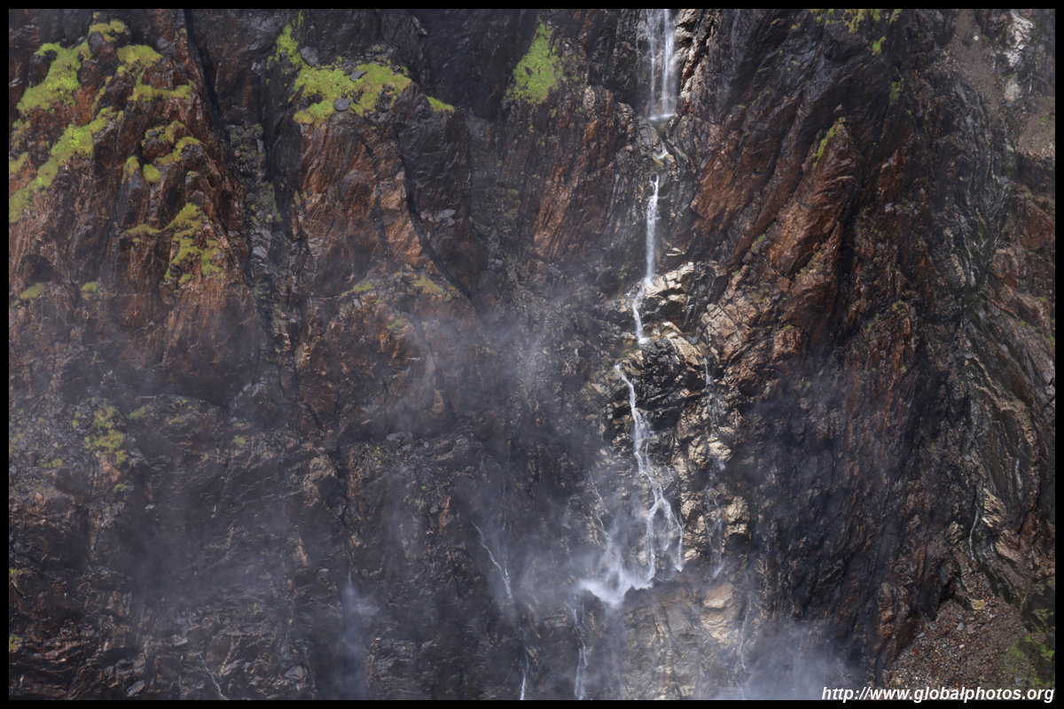
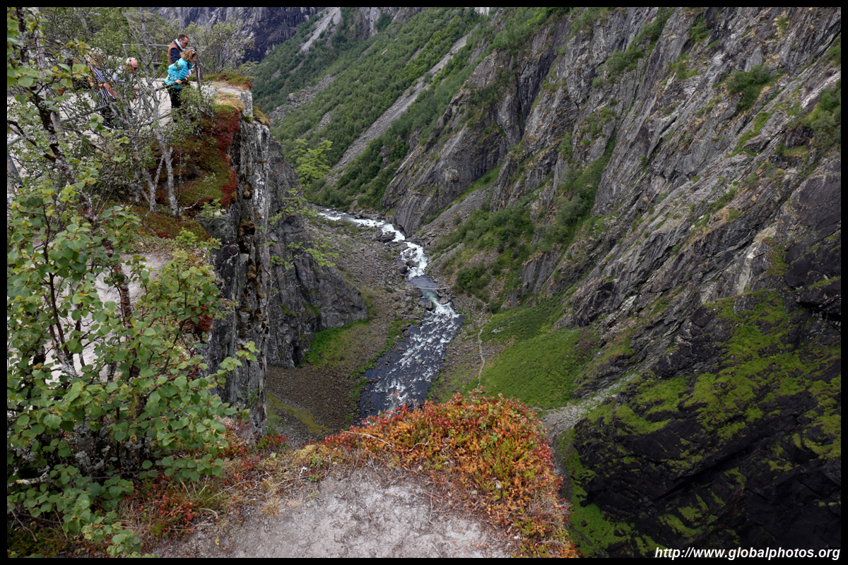
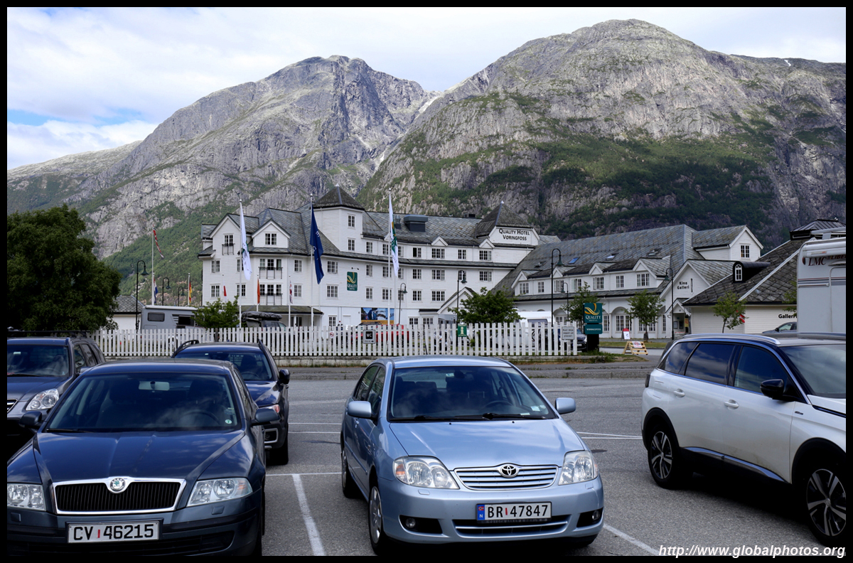
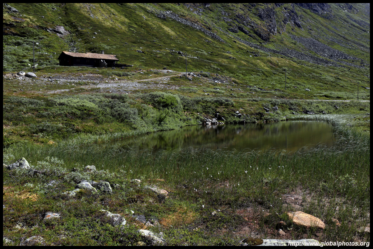
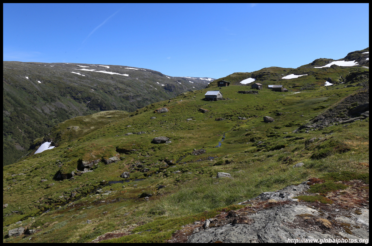
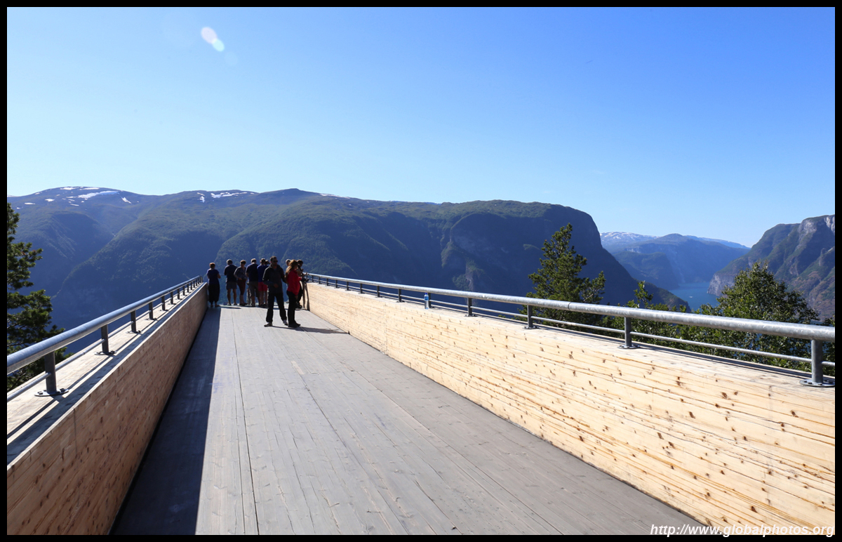
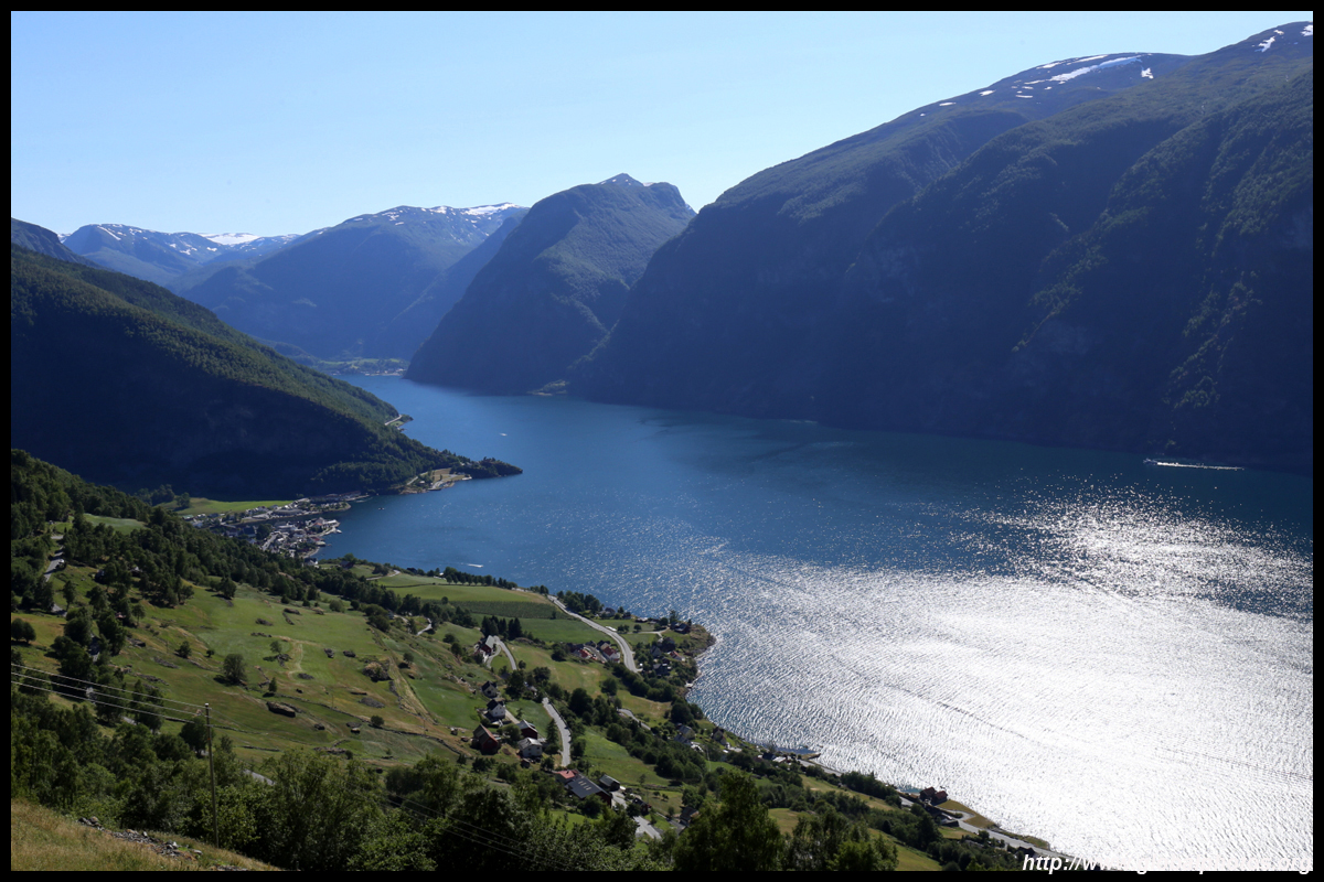
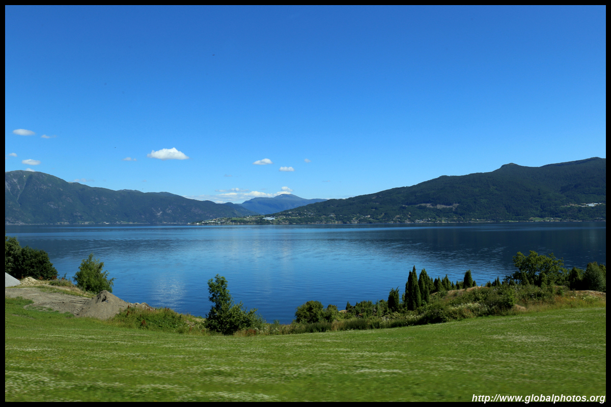
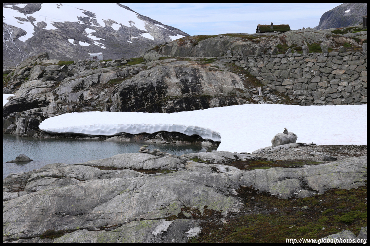
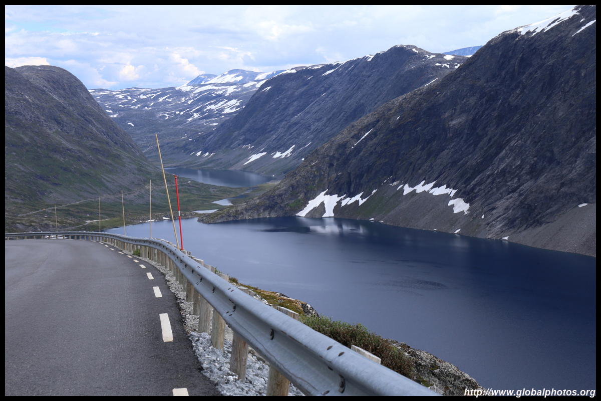
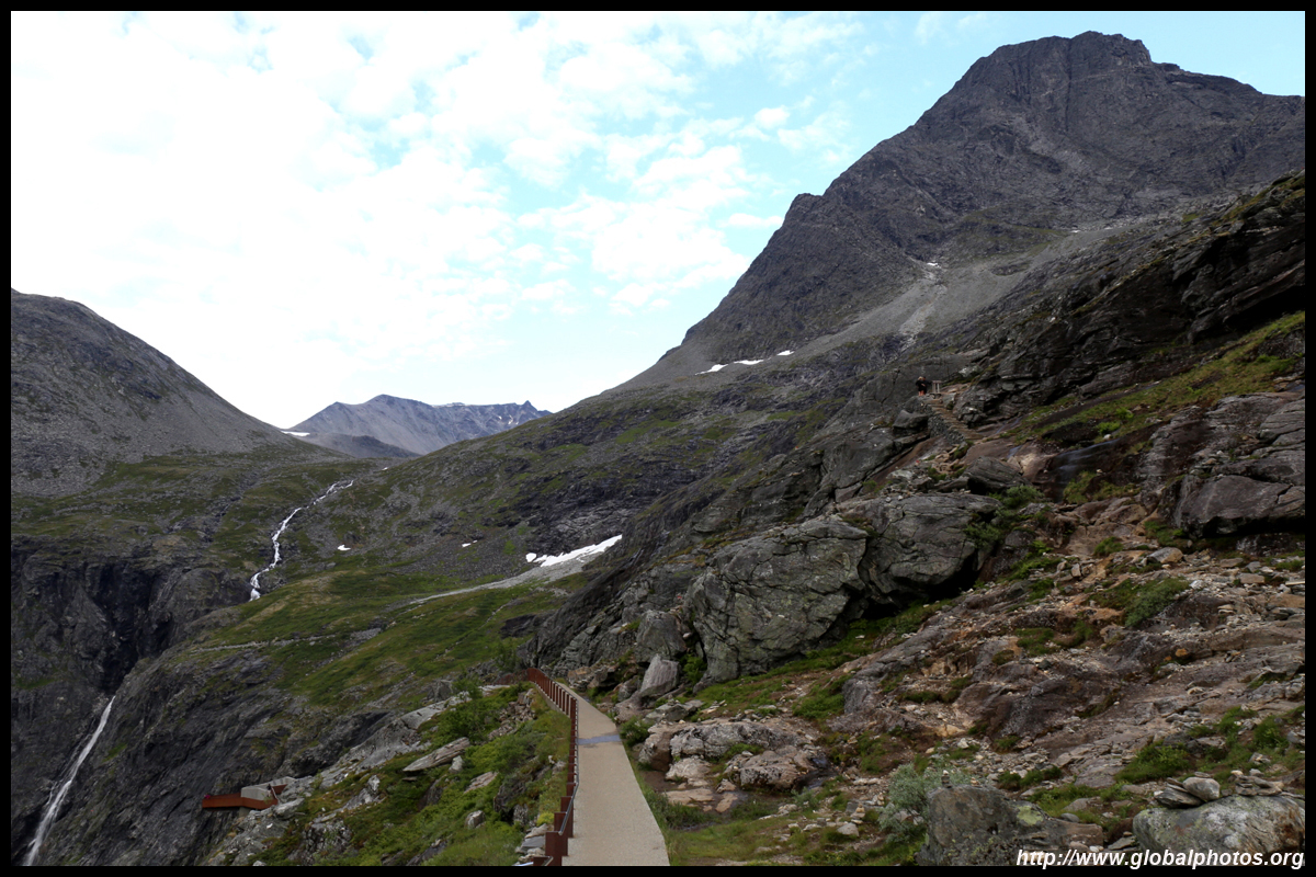
The furthest point on today's drive would be the Fossli Hotel, which is perched at the top of the fjod and overlooks another waterfall.


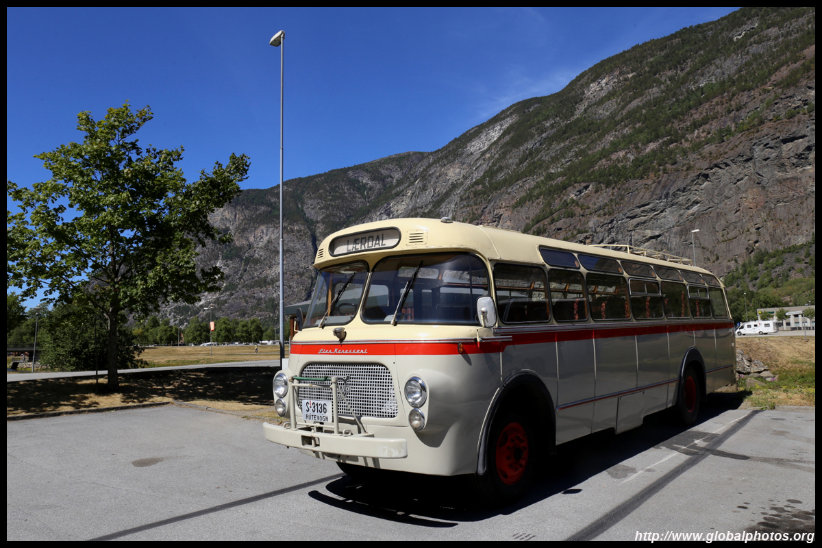
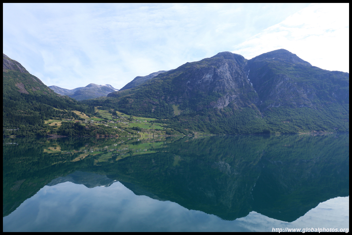
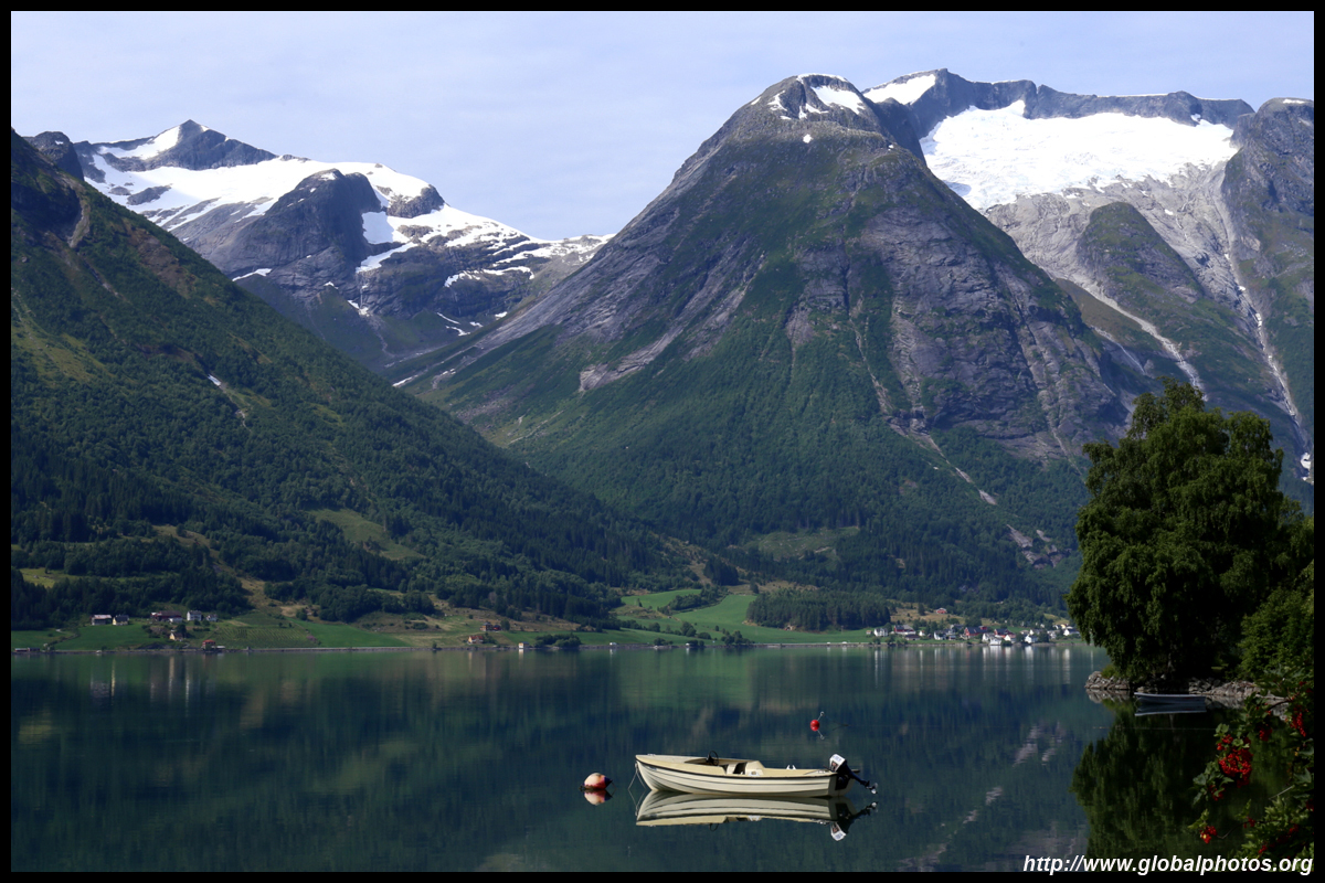
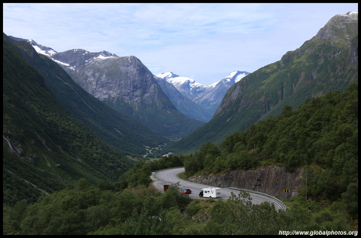
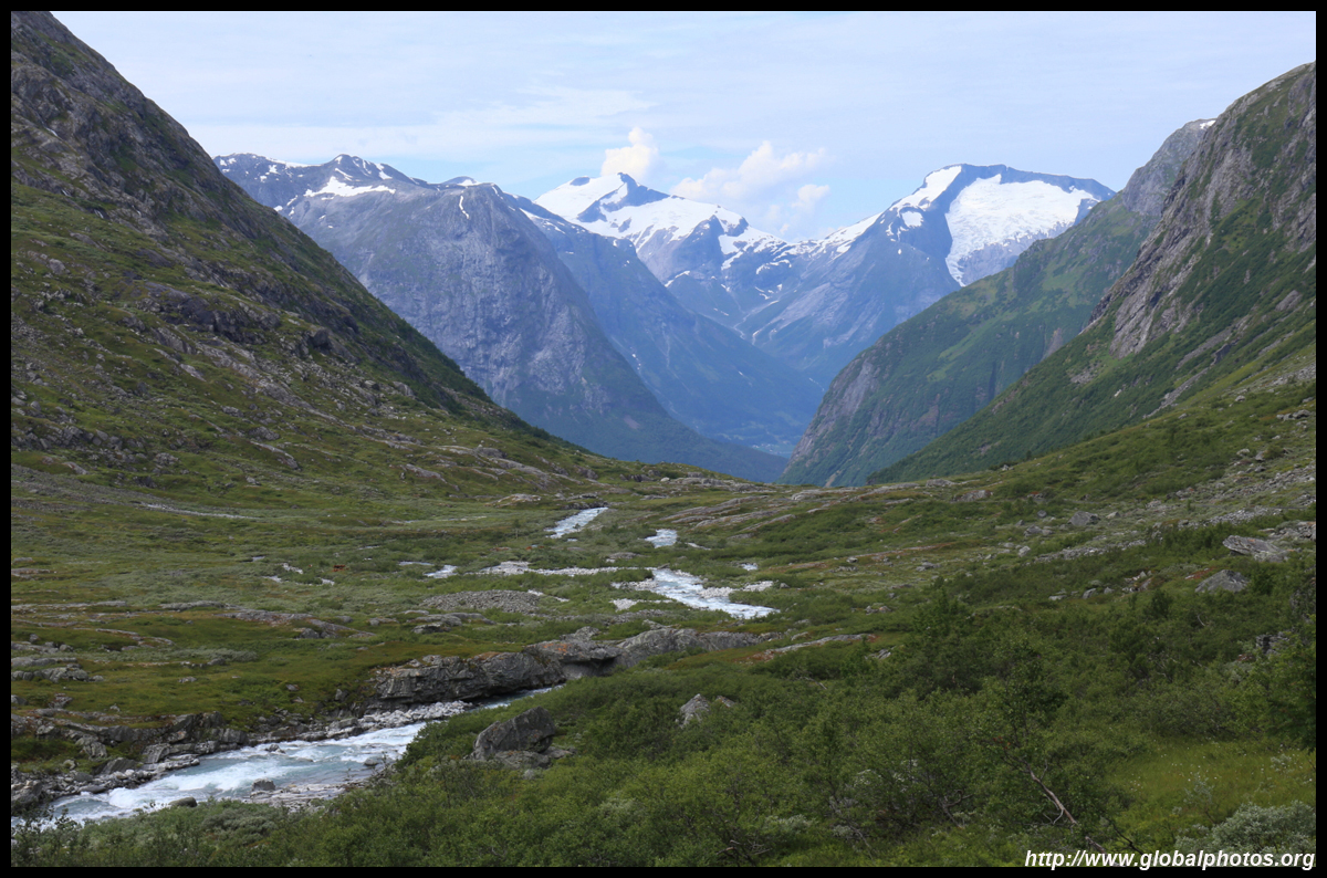
More photos on my website : https://www.globalphotos.org/norway.htm
Next Stop : Bergen to Stryn

|


 Linear Mode
