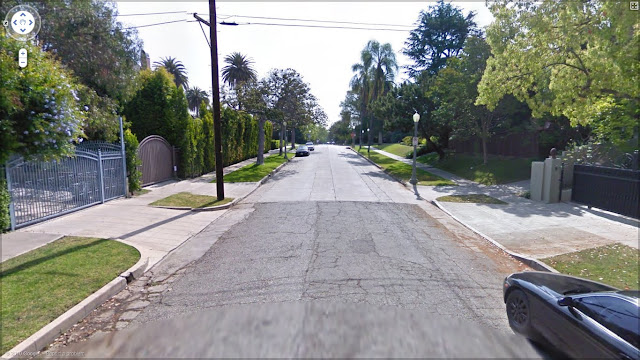
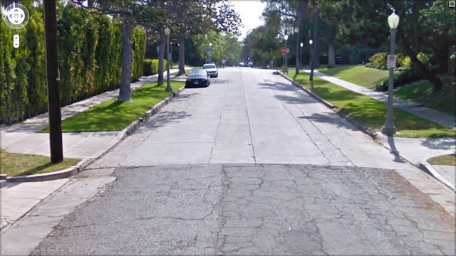
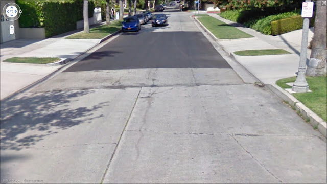
I've discovered an interesting juncture of asphalt and concrete in Windsor Square:

Google Street View

Google Street View
West 4th Street, east from Lucerne toward Plymouth

Google Street View
West 5th Street, west from Plymouth toward Lucerne
An excerpt from the Windsor Square-Hancock Park Historical Society:
"The older part of the tract was bounded by Irving Blvd., Plymouth Blvd., Third Street and Wilshire Blvd. It had a linear street layout with wide streets, wide parkways, elaborate electoliers and trees for which $200,000 was expended. The ornamental light standards were erected with the trademark “WS” at the base. All streets were paved, utilities were underground, long term deed restrictions did not expire until 1965. $7,500 would get you a lot in Windsor Square.
"The area to the west of original Windsor Square, which includes Lucerne and Arden from Third to Fifth streets, was a different tract. This small tract was owned as of 1913 by the Wilshire Hills Land Corp.
"You can tell where the Wilshire Hills addition and the Windsor Square addition join. At the back lot lines behind Plymouth and Lucerne across 4th and 5th, you will notice that the street surface changes from concrete to asphalt which indicated that different developers laid out the streets. Also, the street lamps on the boulevards in the Wilshire Hills addition are stone, not metal, as in the original Windsor Square tract."
See also:
http://www.wshphs.org/windsor.html
The concrete streets of Windsor Square are pushing 100 years old--actually, I don't really know if any of them in this district have ever been replaced, but, from the looks of them here, perhaps not. I wonder how many times the asphalt streets in the later part of Windsor have been replaced in the past century?


