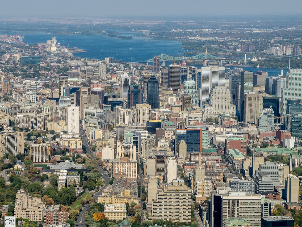
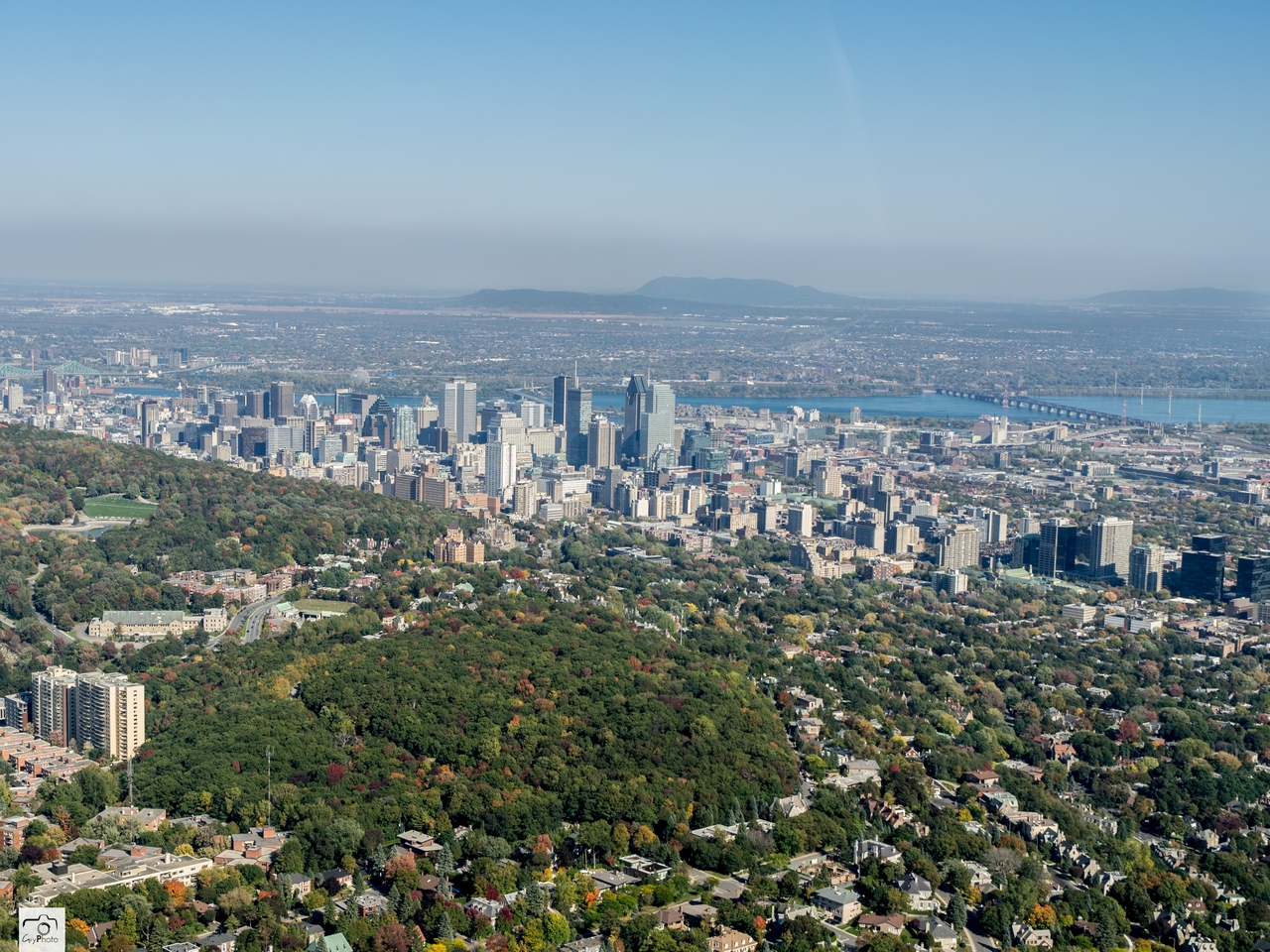
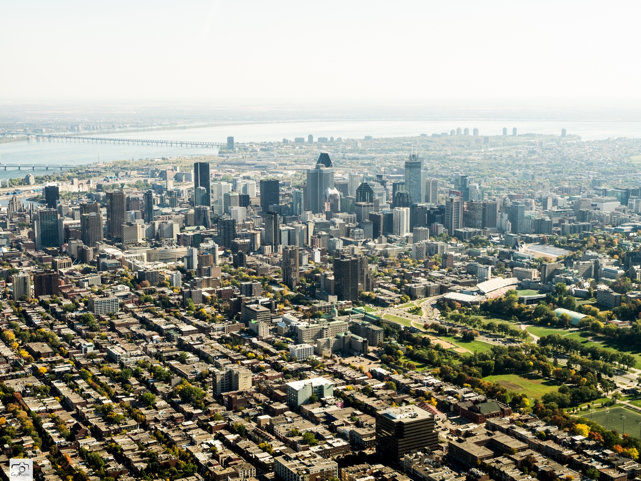
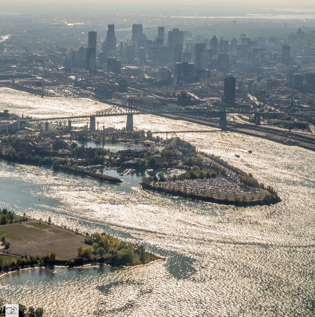
I could explore aerials all day.

Just gorgeous.
My favourite of here:
This one focuses primarily on my neighbourhood, Rabbittown, which wraps around the top of the first hill of St. John's and extends about a block or two downhill on either side of it.
A couple of the blocks in Rabbittown have vaguely rectangular shapes. Among the only ones in the city.

 http://www.reddit.com/r/winterporn/c..._snow_960x540/
If you take the harbour as a U-shape and swing around from left to right, this is the order:
Signal Hill, The Battery, Old East End (this is the touristy part, that mess of colourful buildings between The Rooms and Signal Hill), Ecclesiastical District, Rabbittown, Downtown East End, Central, Downtown West End, and then it wraps around to the Southside Hills.
Everything pictured here is within Old St. John's. Empire Avenue (the ring road in '49) is only about the length of one of those long, rectangular Rabbittown blocks in the lower left away, just off camera to the left.
And Old Town extends probably about the same distance as what's pictured off camera to the right, but the Old West End is almost entirely residential so it's not quite the same and not considered to be part of the Downtown the way the Old East End is.


 Prev
Prev


 Linear Mode
