 Posted Jun 4, 2014, 7:35 AM
|
 |
Registered User
|
|
Join Date: Sep 2006
Posts: 576
|
|
|
Denver: Historic South Park Hill Neighborhood
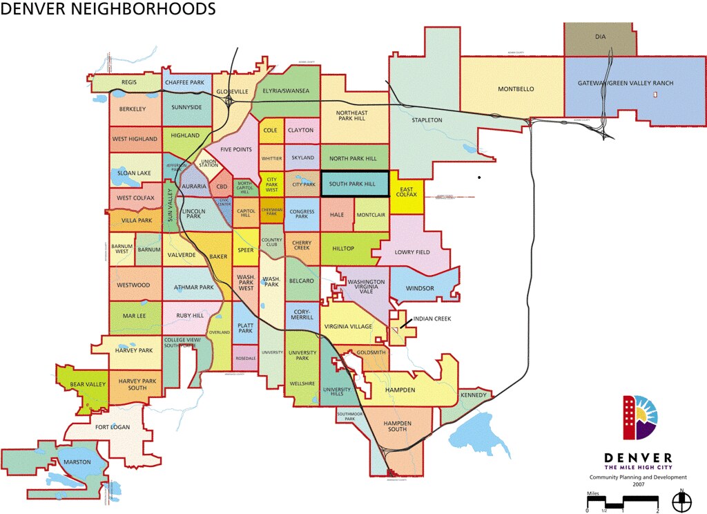
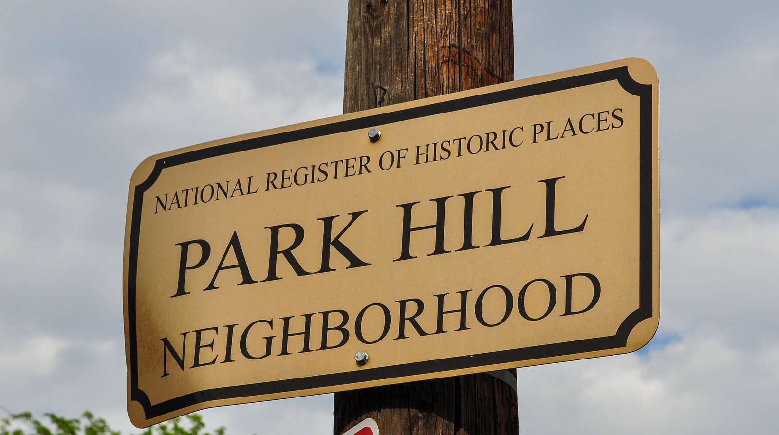
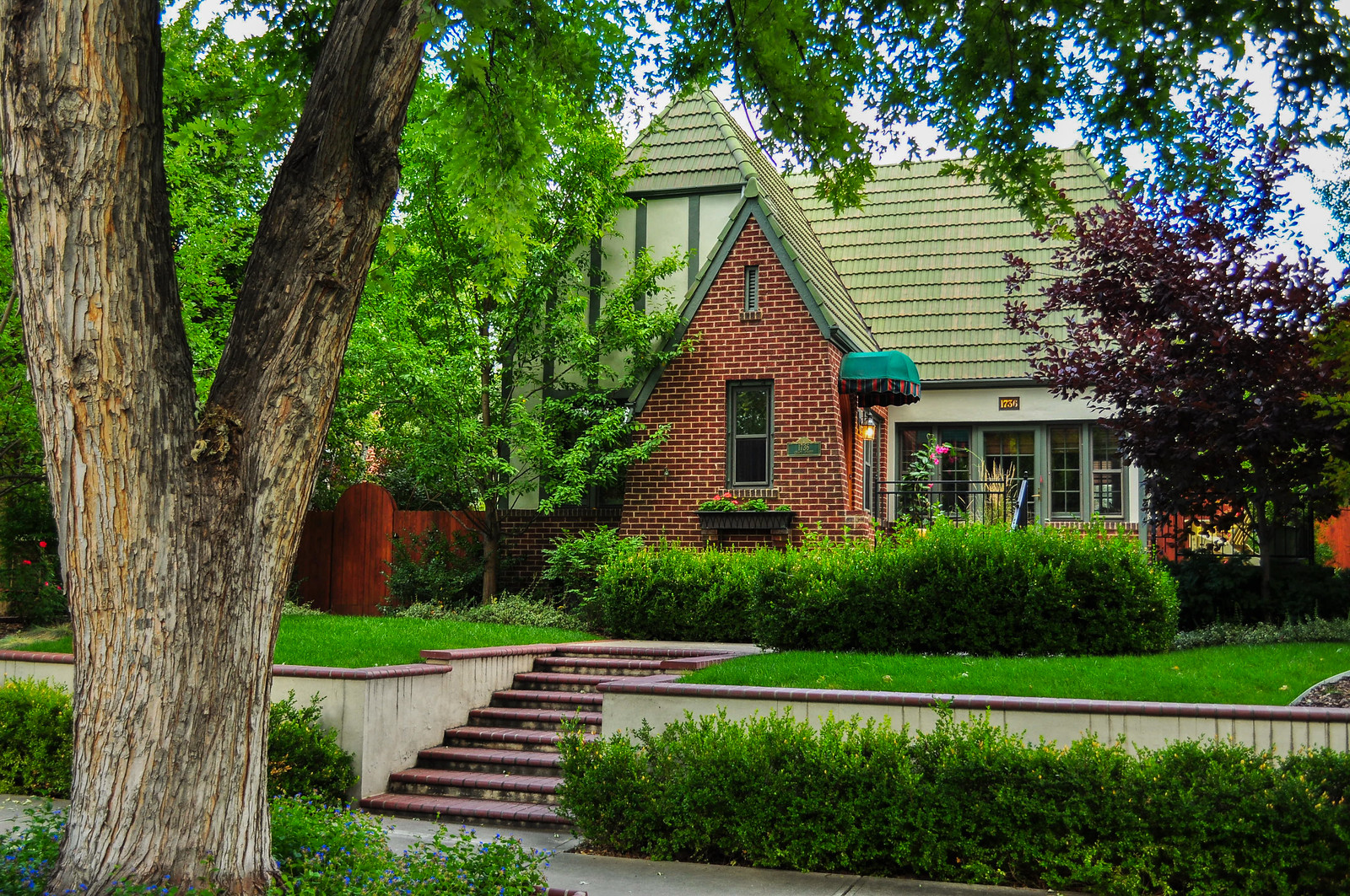
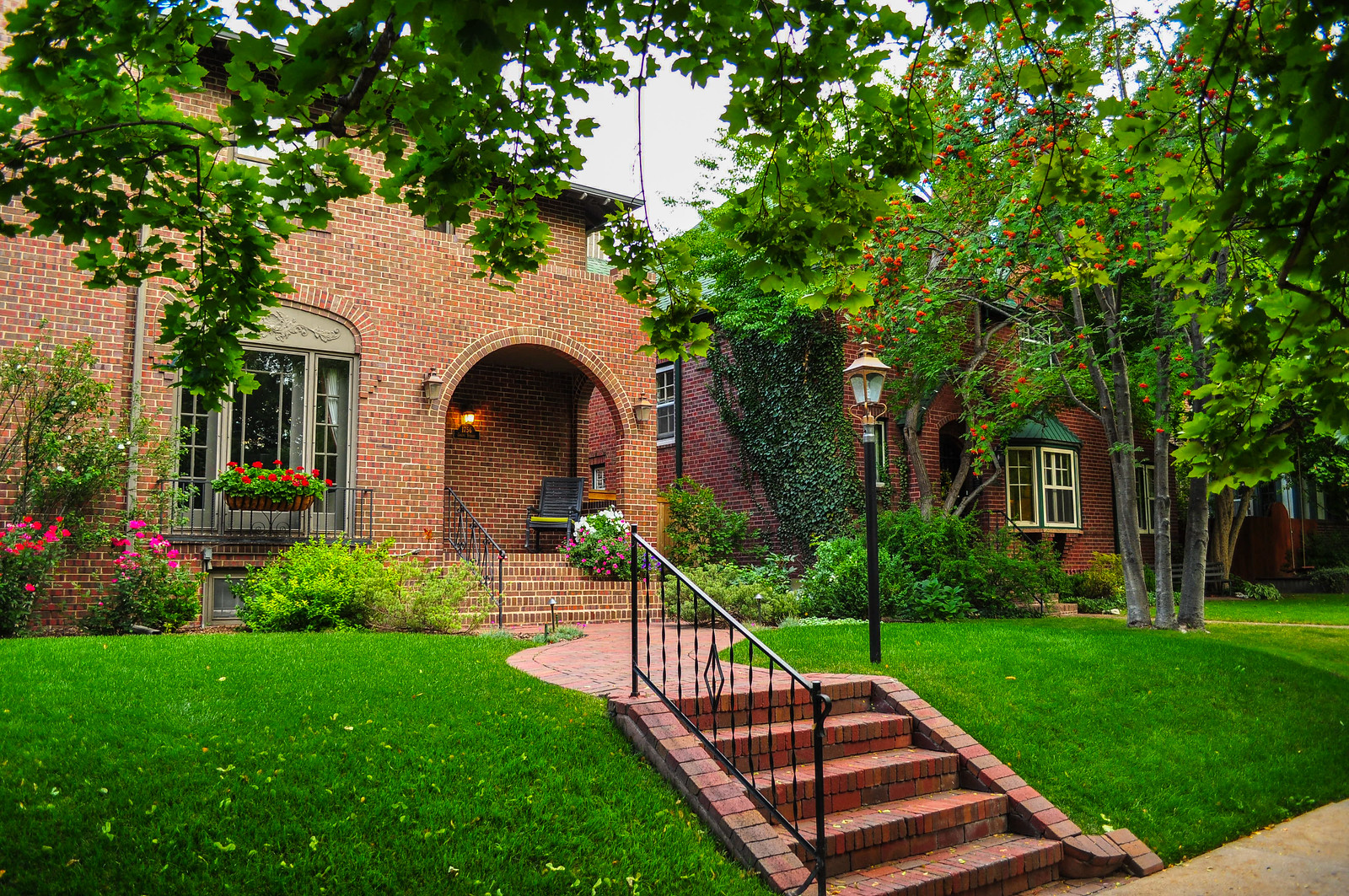
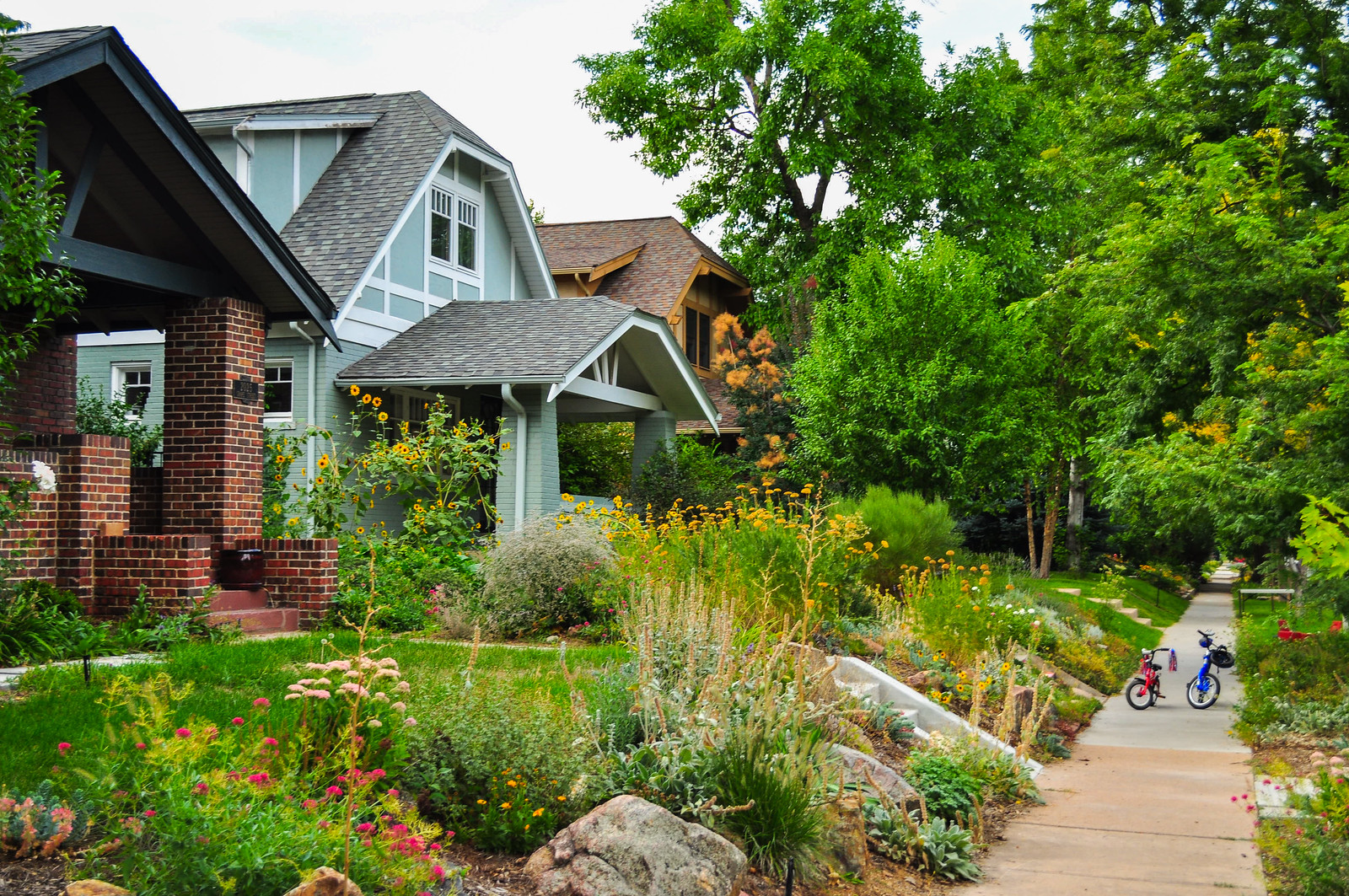
First platted in 1887, the original Park Hill development was on 32 acres east of City Park. This development was bordered by present day Montview Boulevard on the south, Colorado Boulevard on the west, East 26th Avenue on the north, and Dahlia Street on the east, placing it in what is now the western portion of South Park Hill. Today the greater Park Hill neighborhood consists of three administrative neighborhoods, South Park Hill, North Park Hill, and Northeast Park Hill. I tried to focus on South Park Hill, but may have included some from as far north as 26th Ave do to the fact I took them last year and I traveled all through those neighborhoods and editing became pretty messy. Park Hill reflects the City Beautiful movement’s ideals of landscaping and art and specifically the promotion of parks and parkways. Utilizing the 1907 George Kessler plan, Denver built most of its parkway network between 1909 and 1913 and eventually 16 of these parkways were placed on the National Register of Historic Places. Several parkways are featured here including 17th Avenue, Montview, Forest, 23rd Avenue, and Monaco and together make up arguably the most prominent feature of South Park Hill.
A map for orientation –
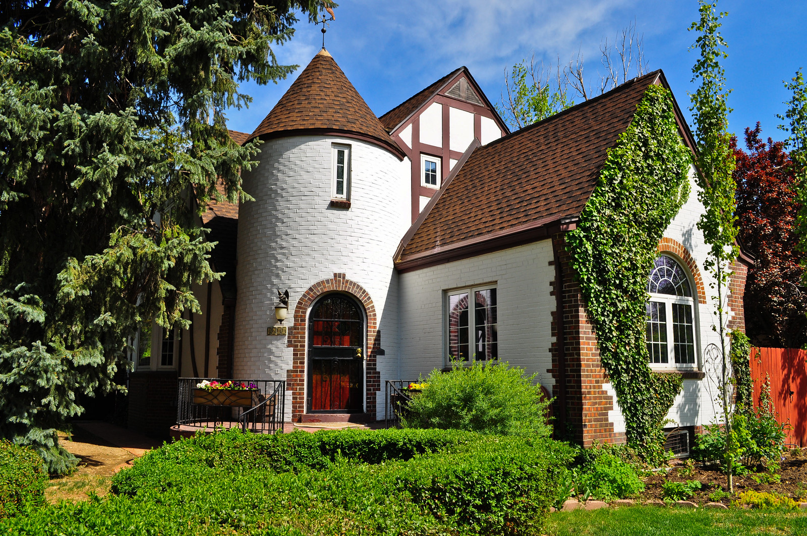
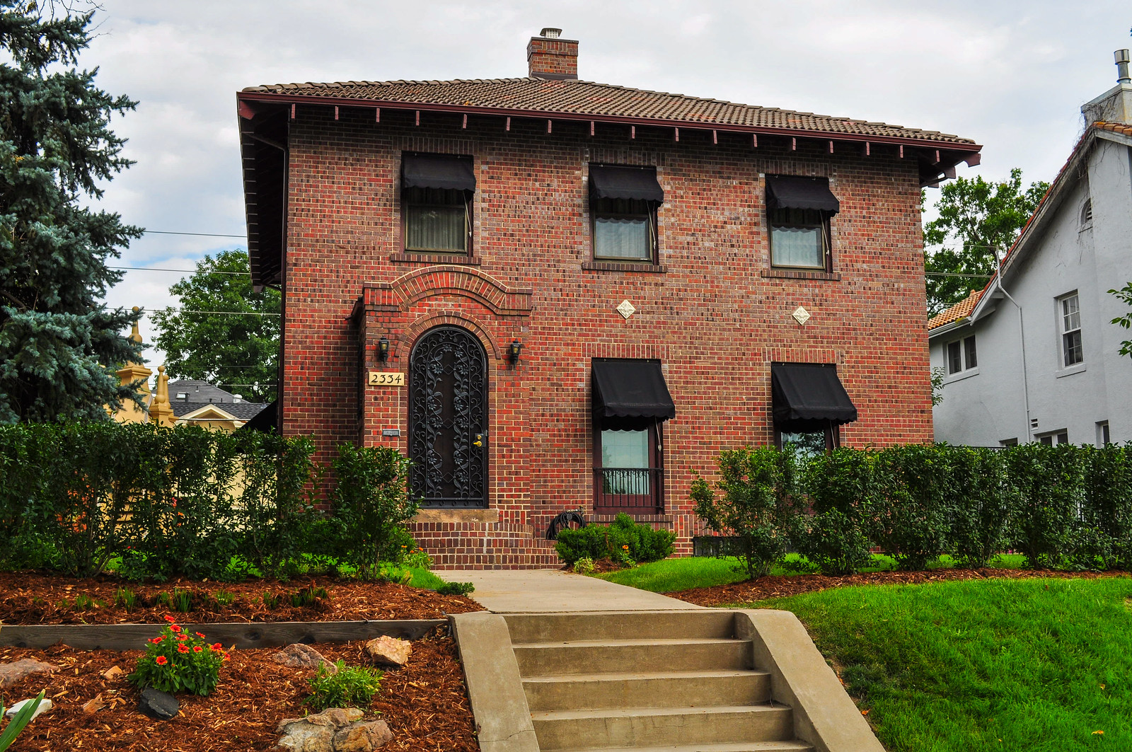

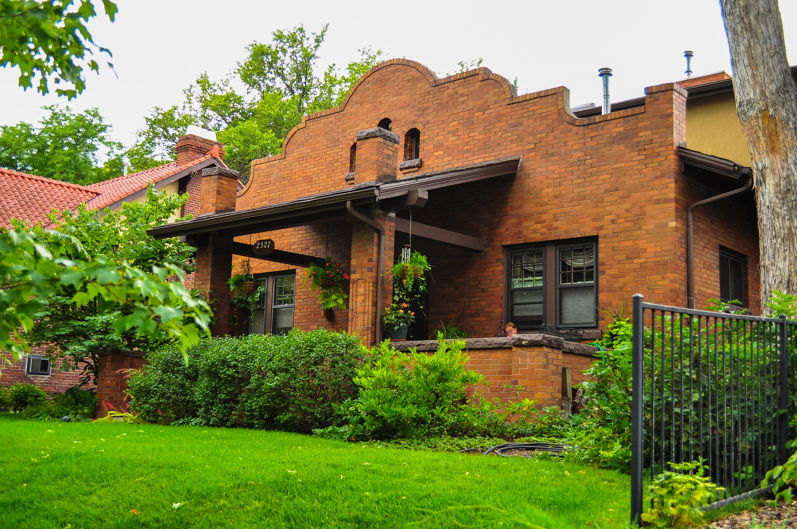
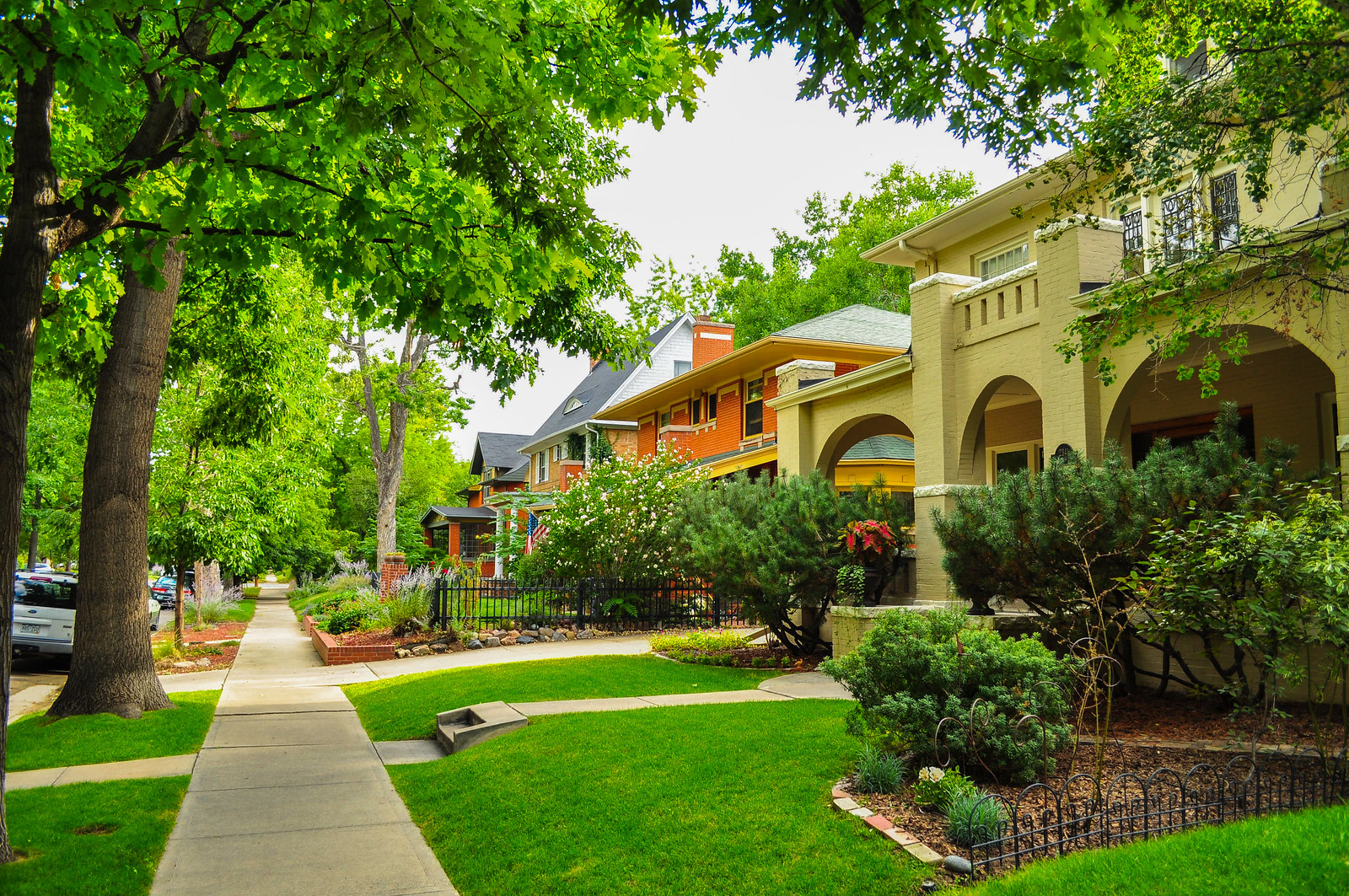
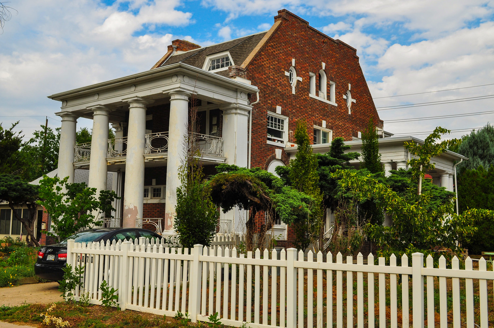
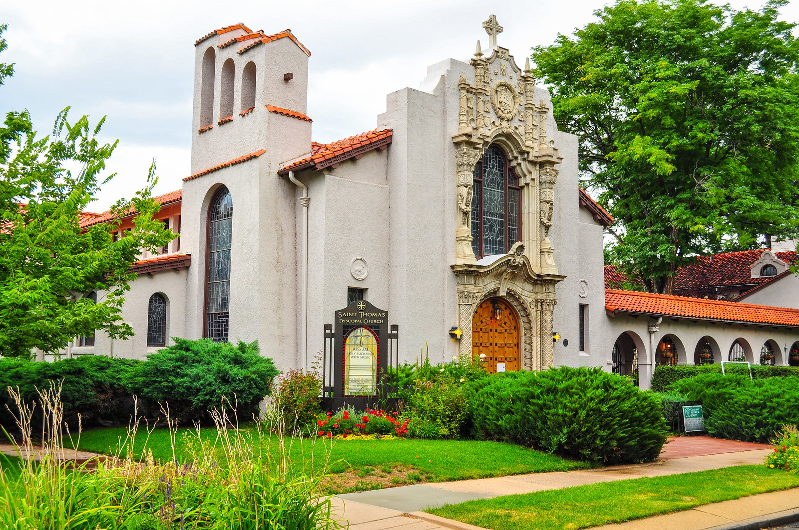
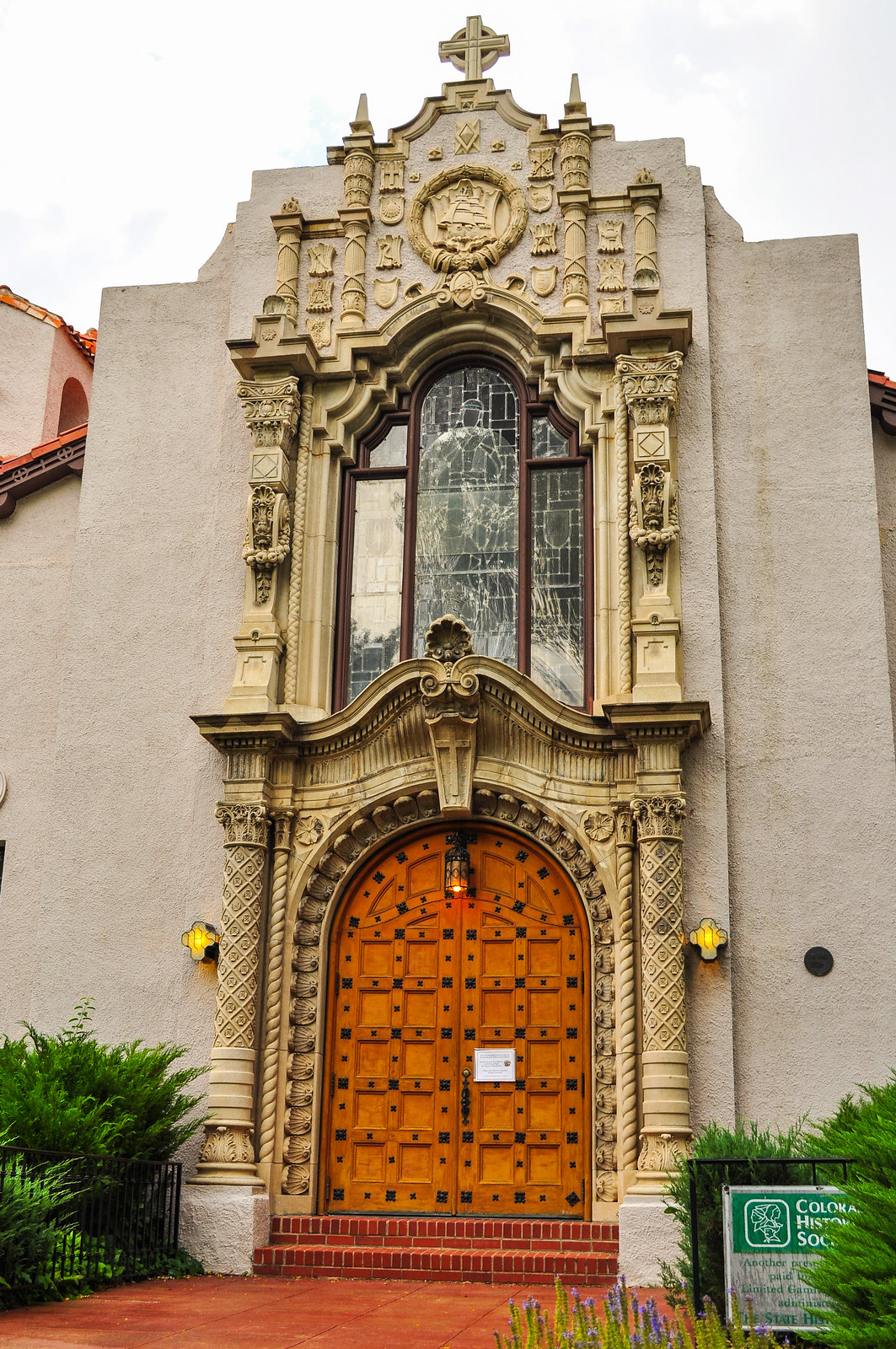
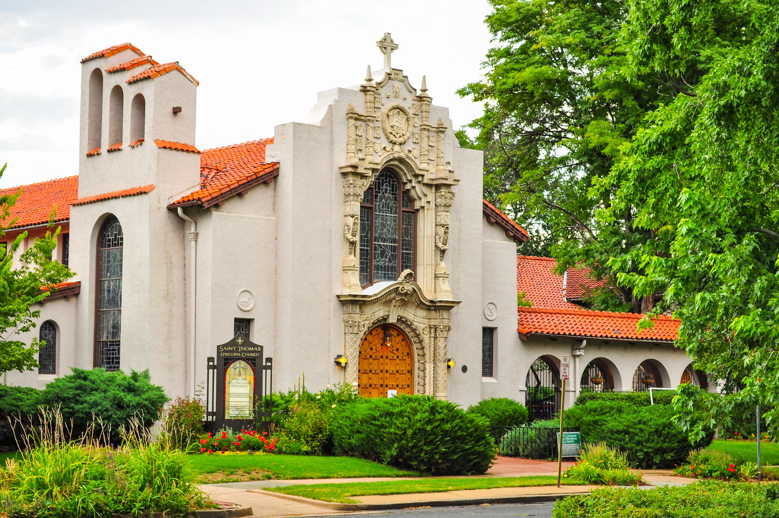
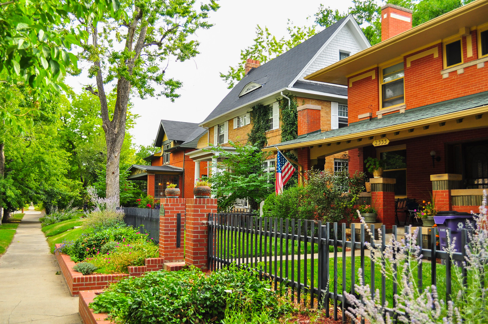 St. Thomas Episcopal Church, 1908 –Spanish Colonial/Spanish Baroque with Churriqueresque motifs. Architect Harry J. Manning. A carved-stone entry leads to a rustic, wood-beamed church with an arcade and plaza.
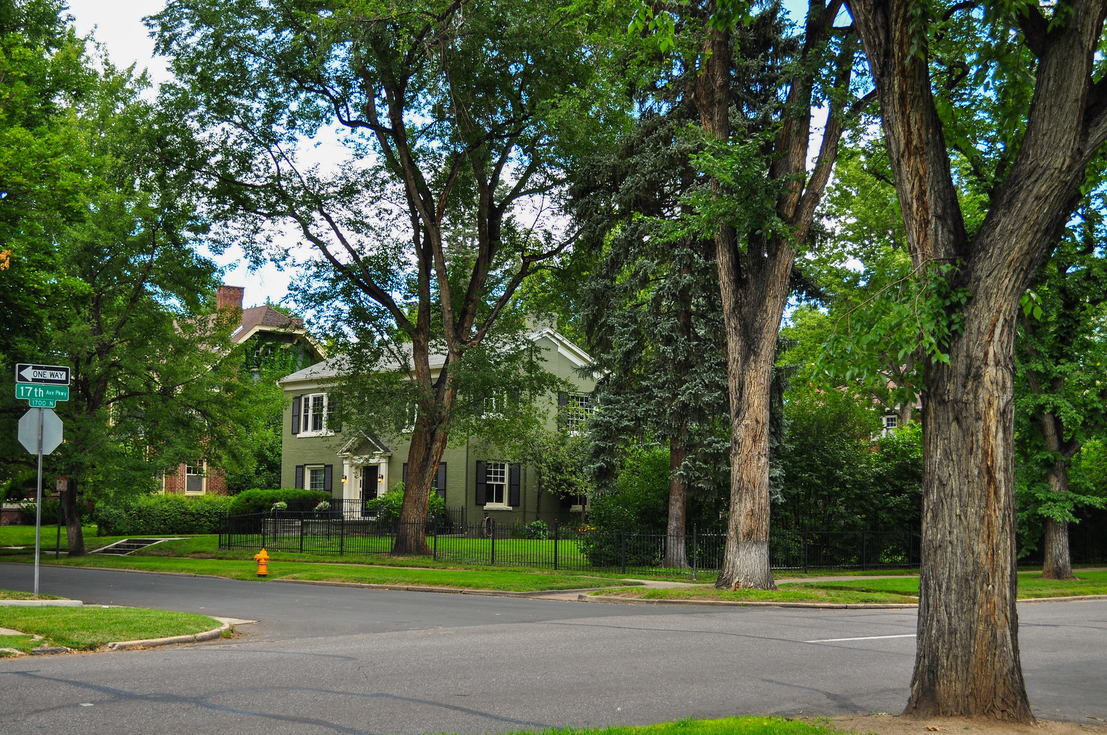
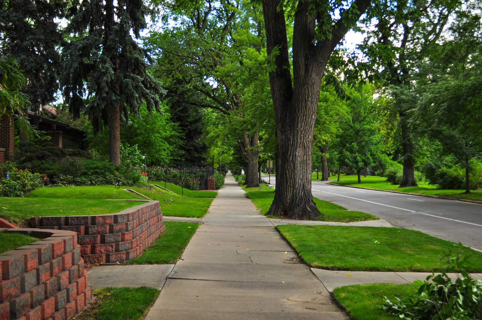
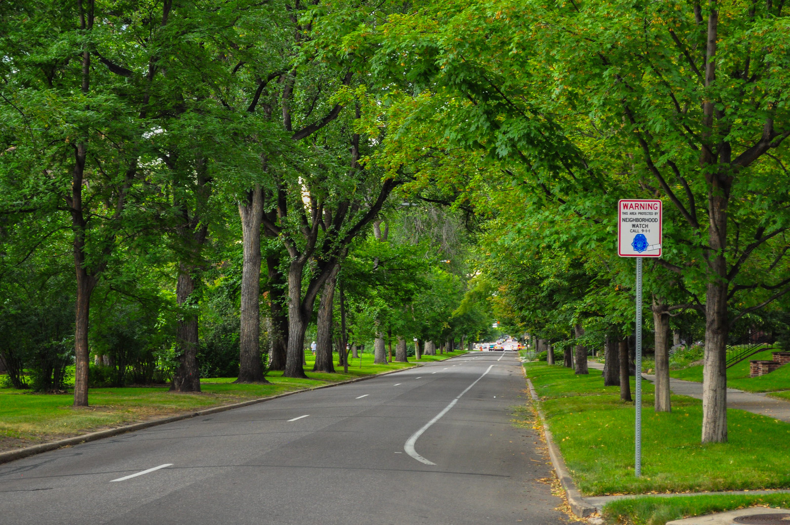
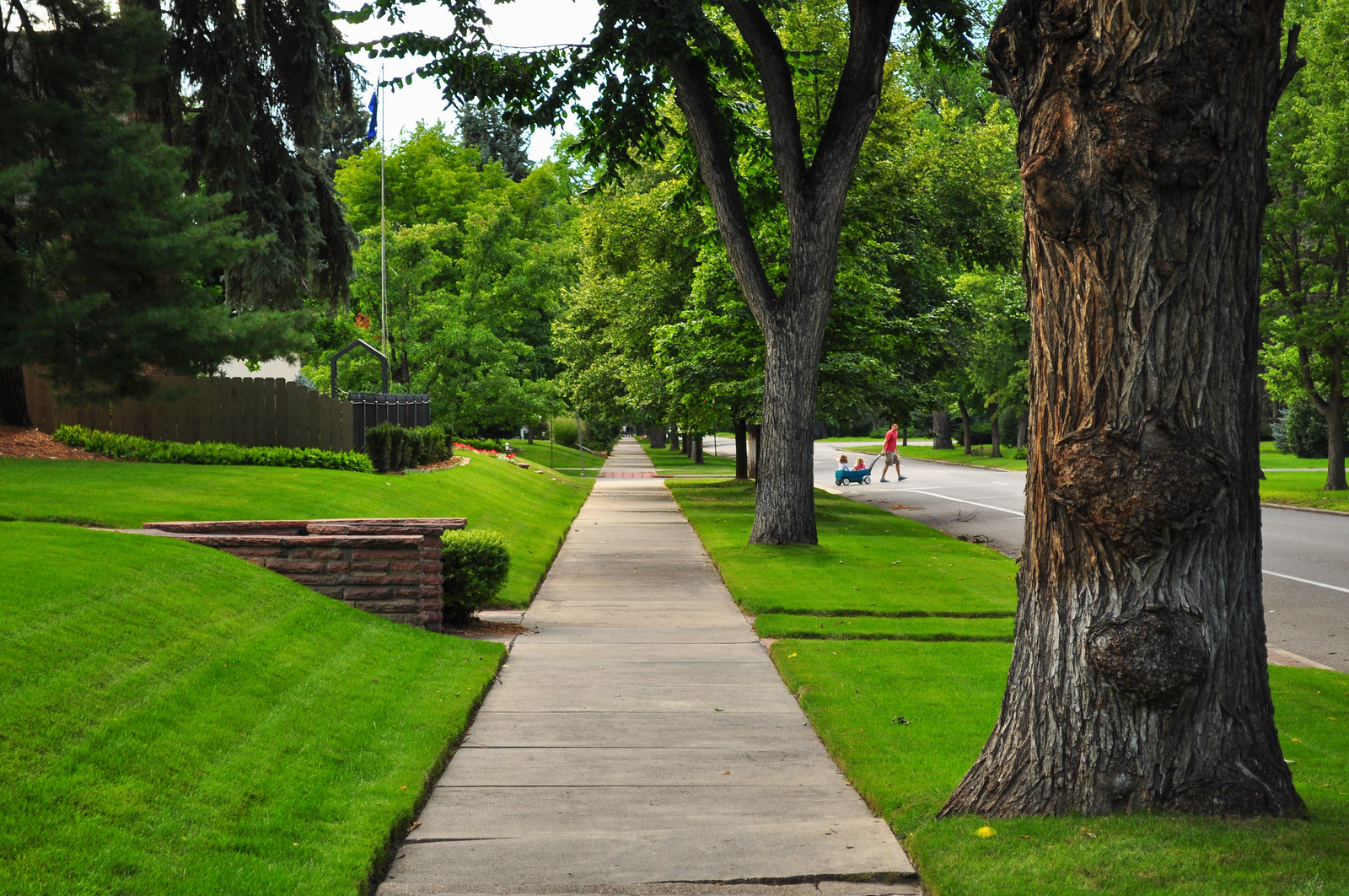
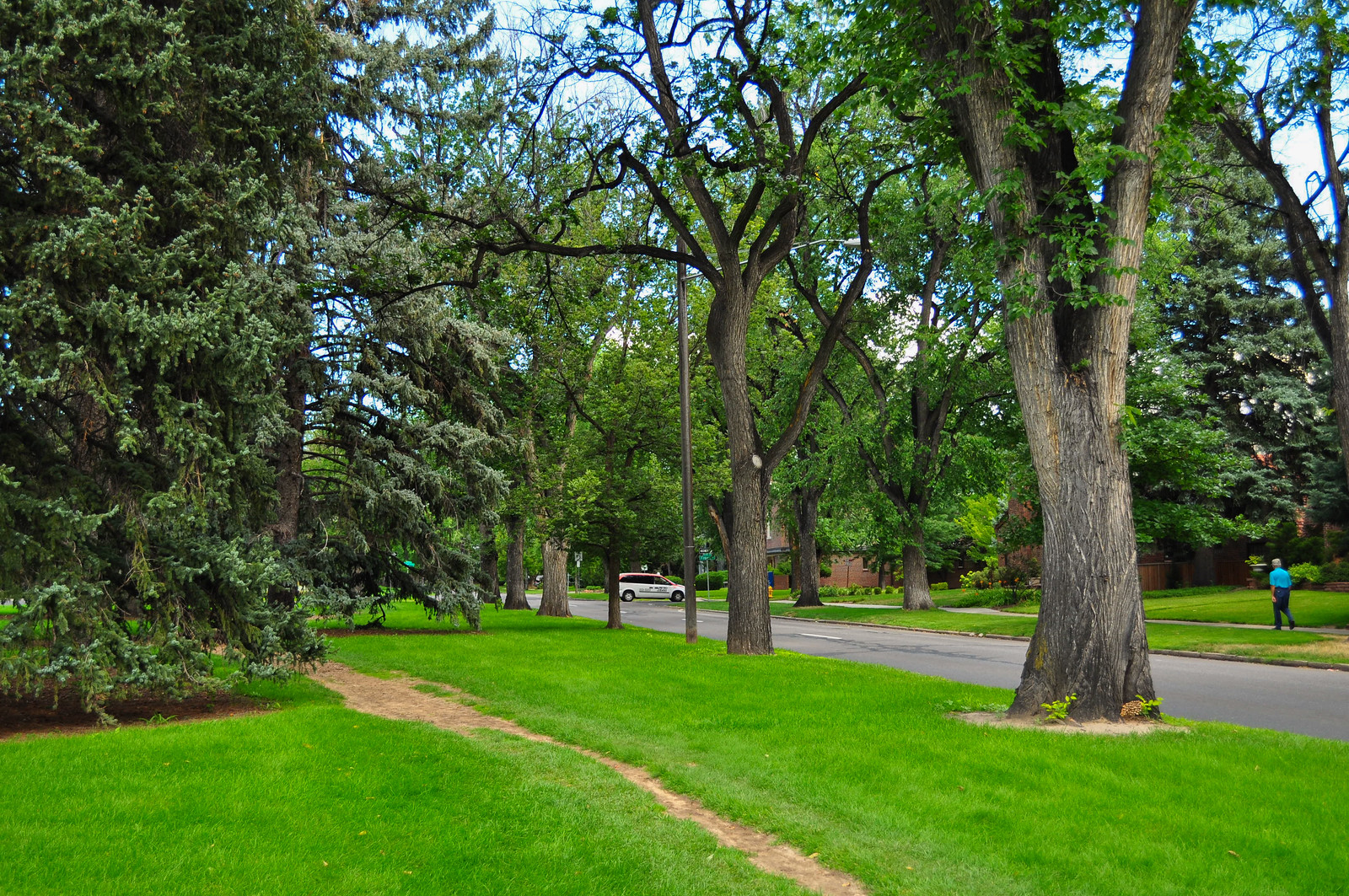
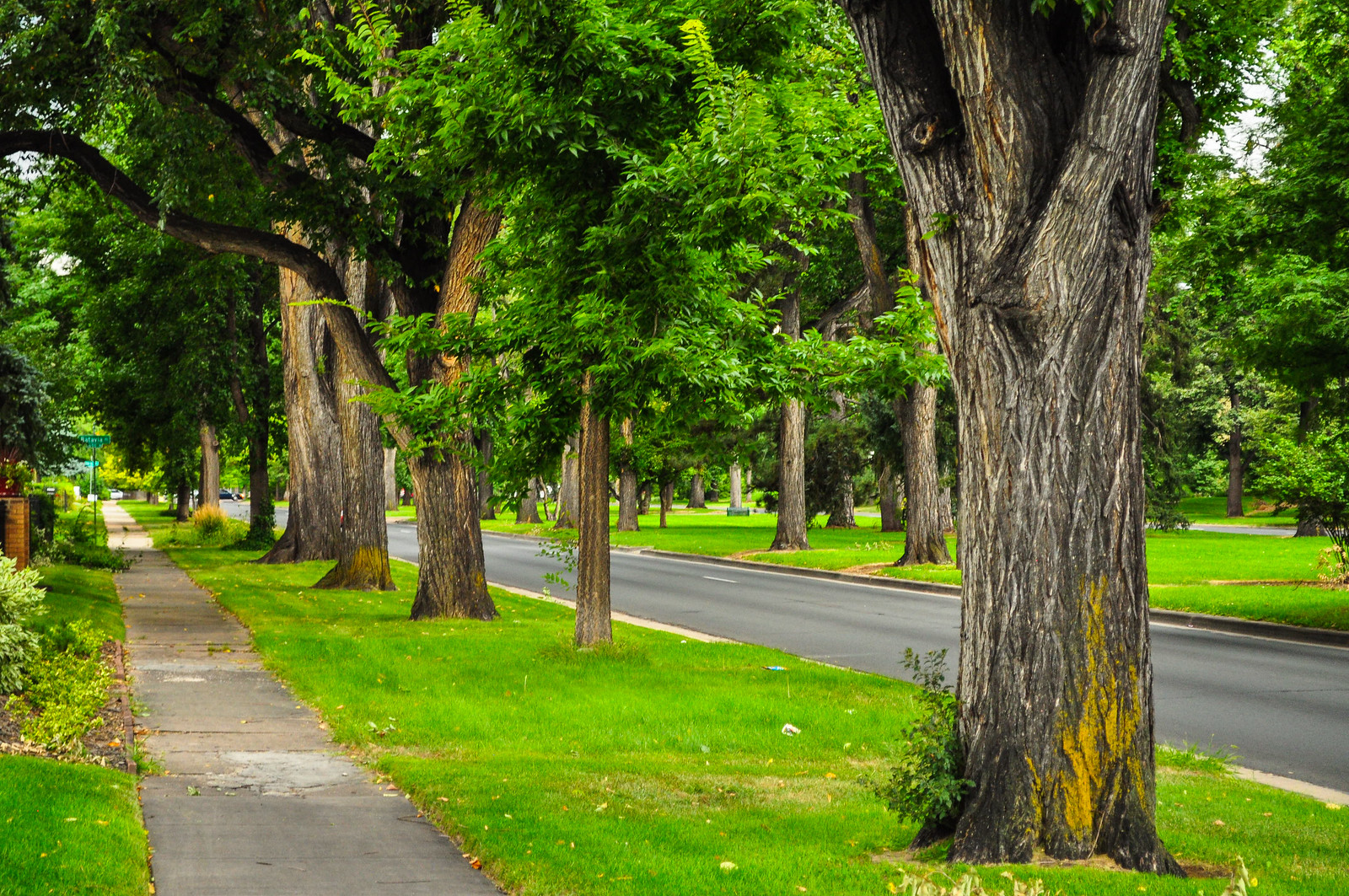
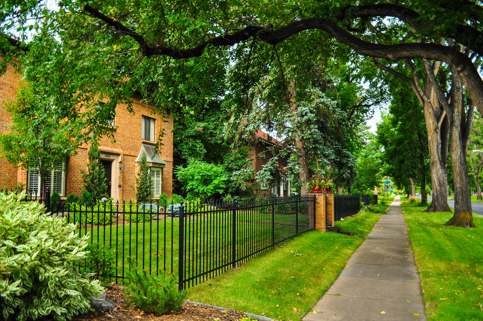
 17th Avenue Parkway facing east. You can see the parkway does in fact function much like a park but without any programmed space. I’m guessing it’s in the range of about forty or so yards across.
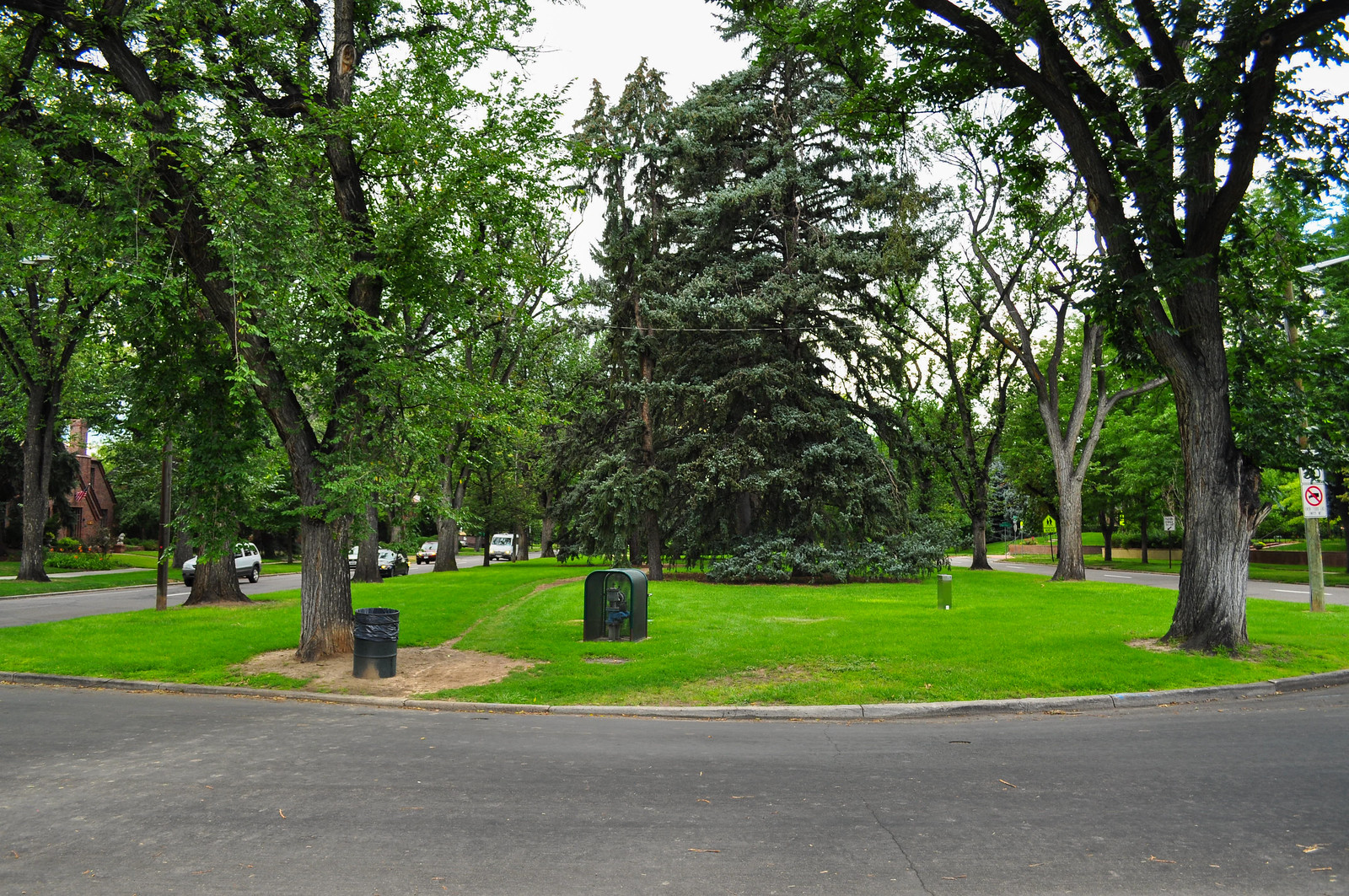
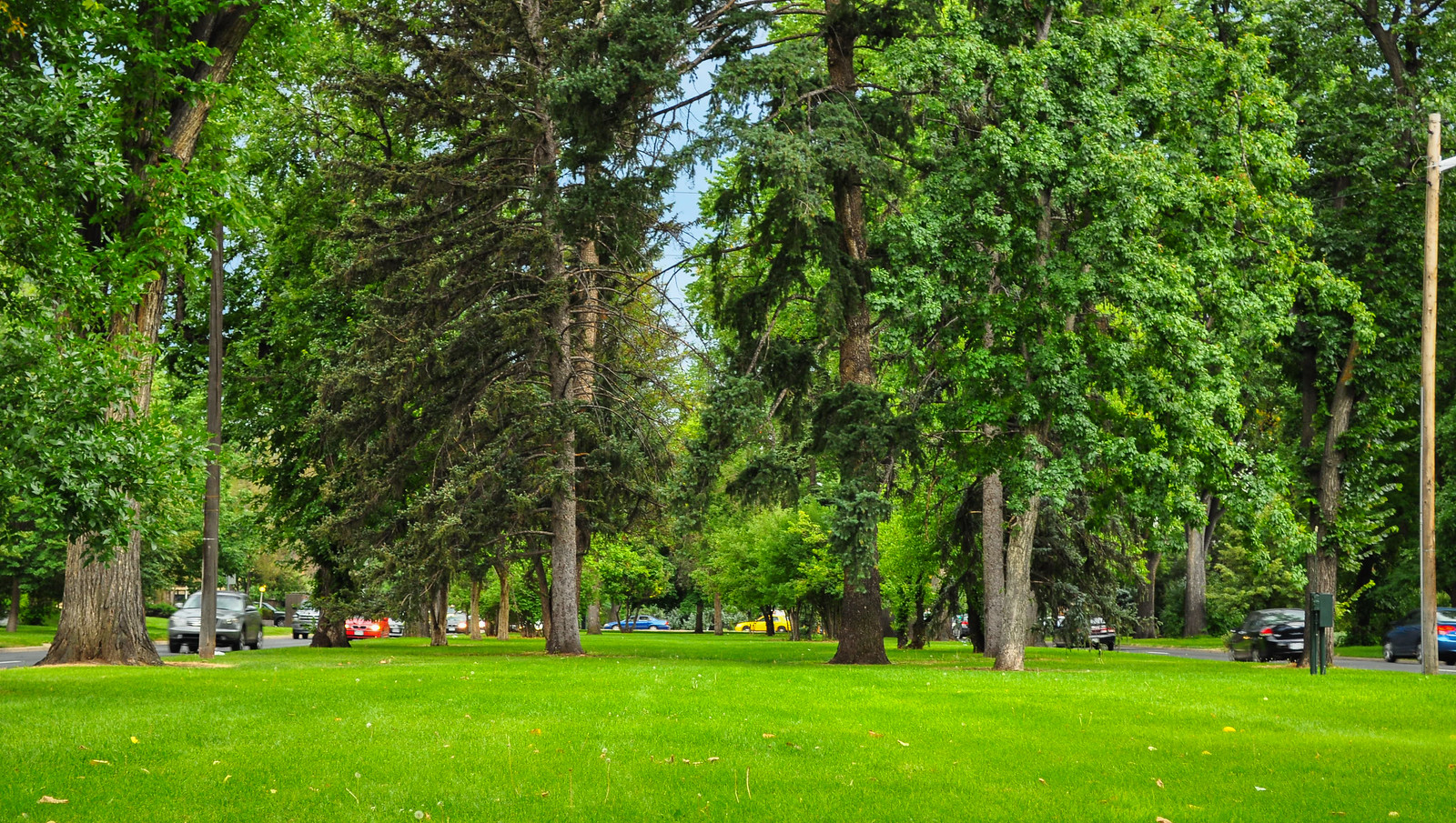
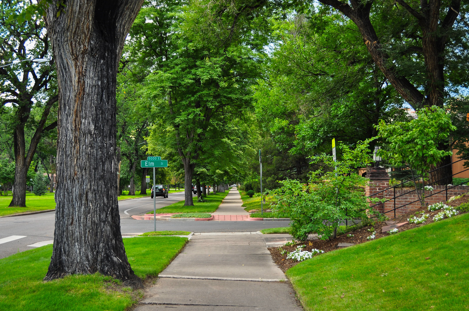
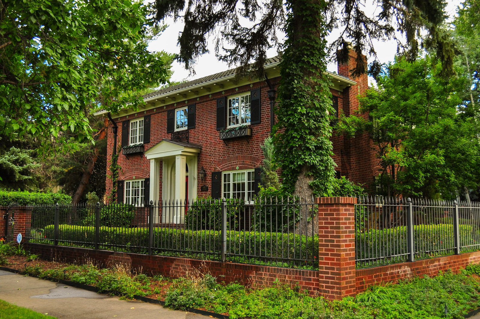 For the majority of these shots of 17th I’m shooting while walking down the parkway.
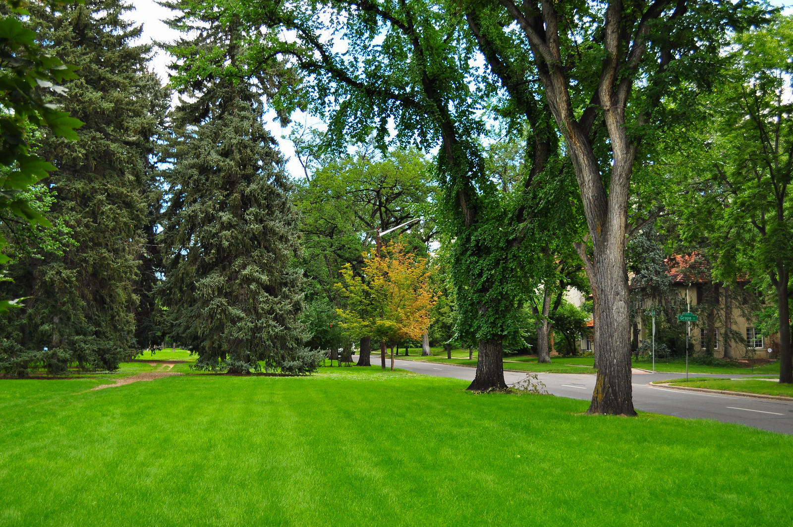
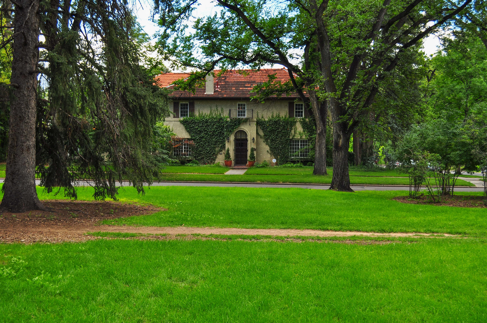
 [/url]
Westbound 17th with the parkway on the right and eastbound on the far side.
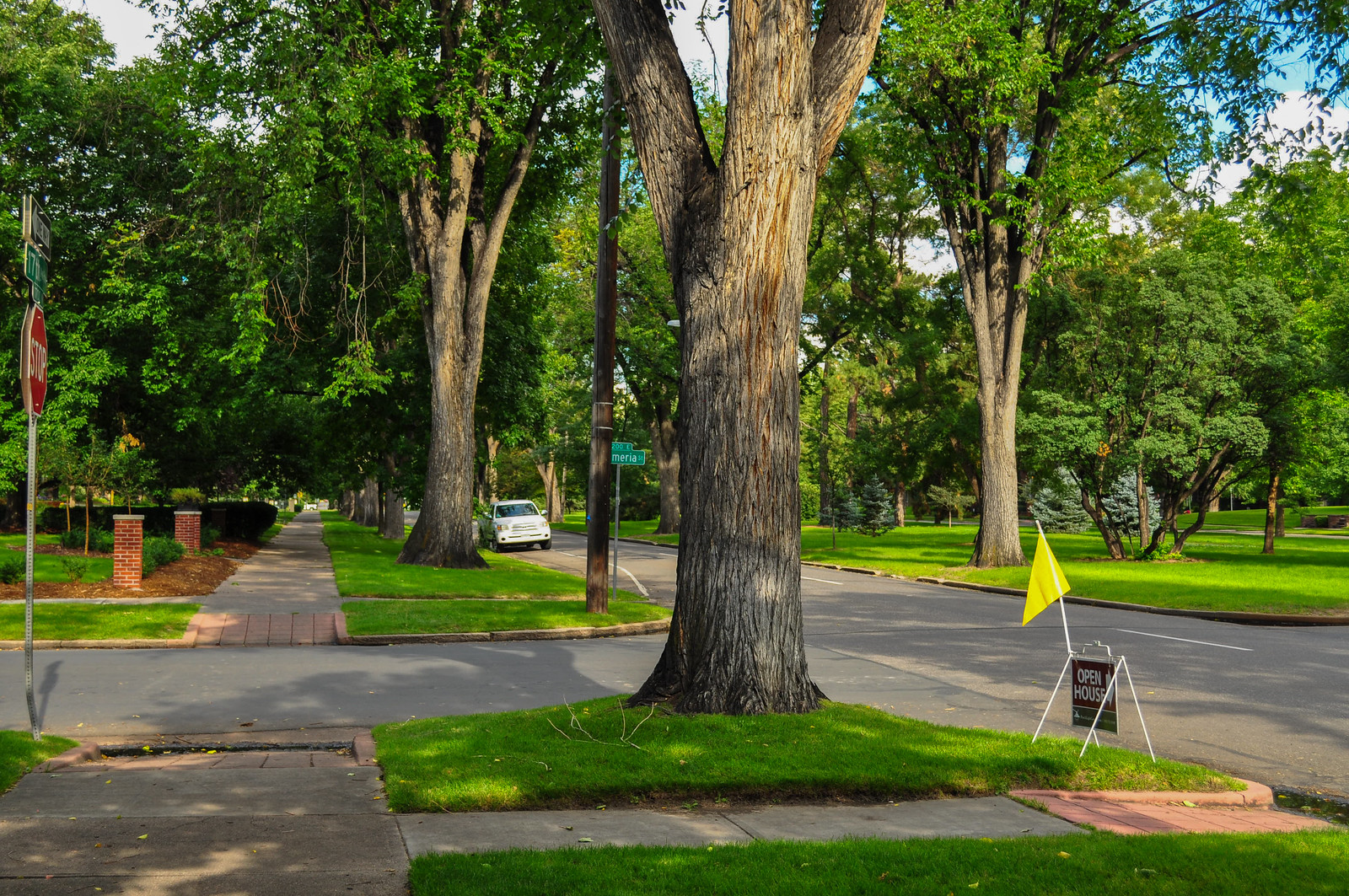
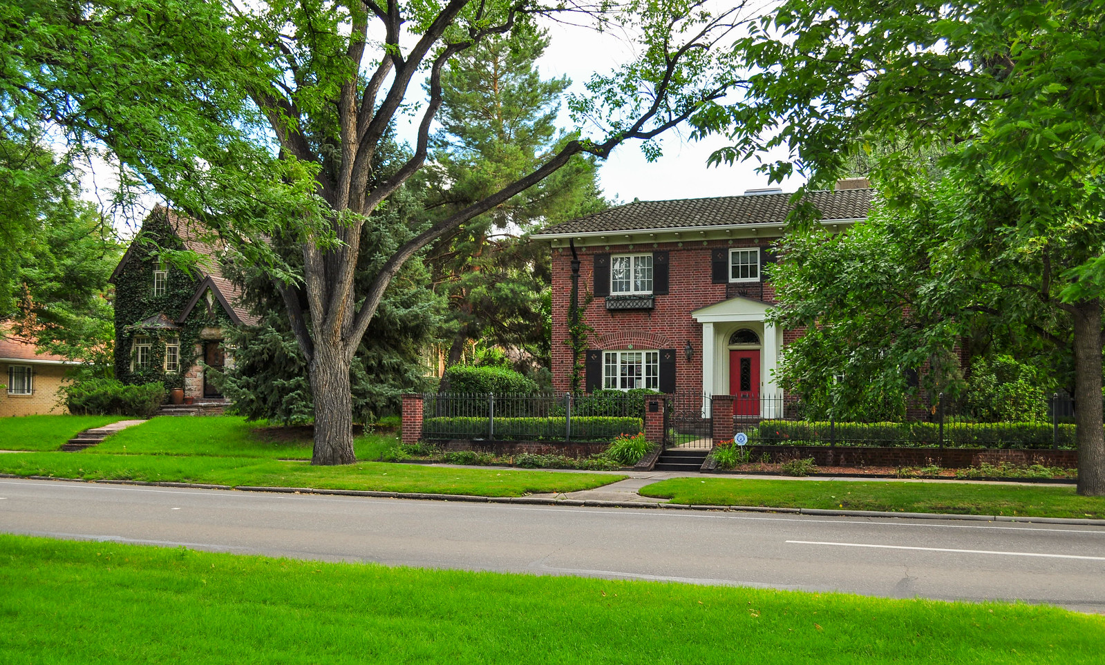

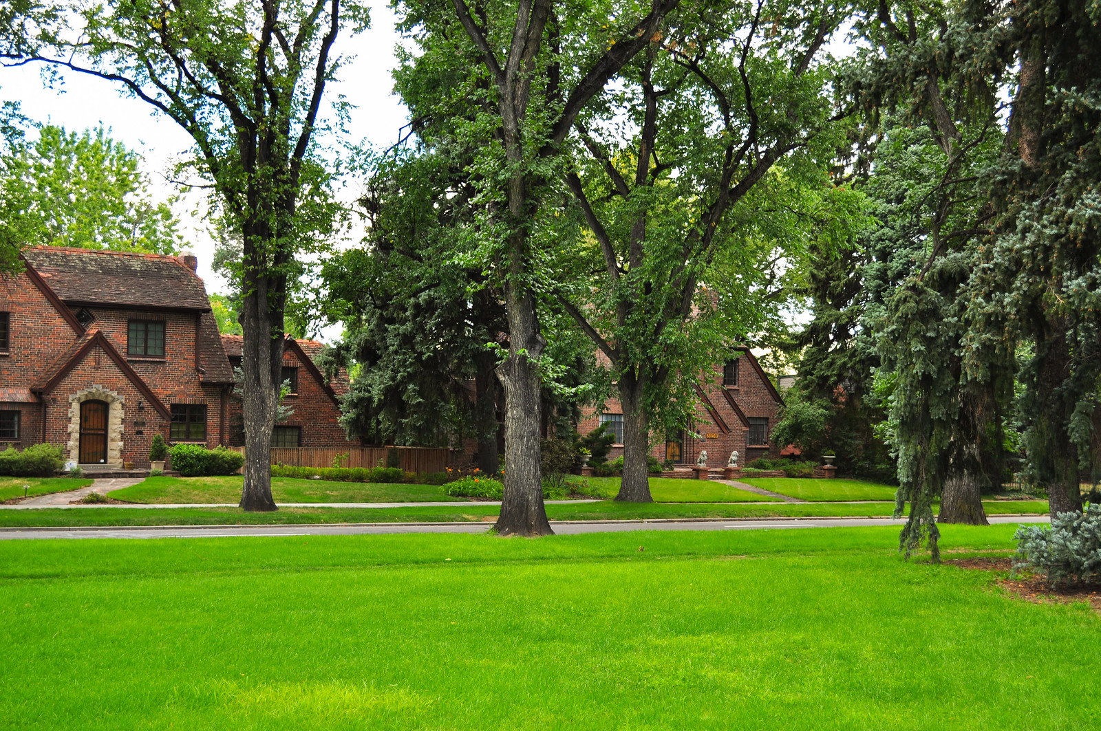
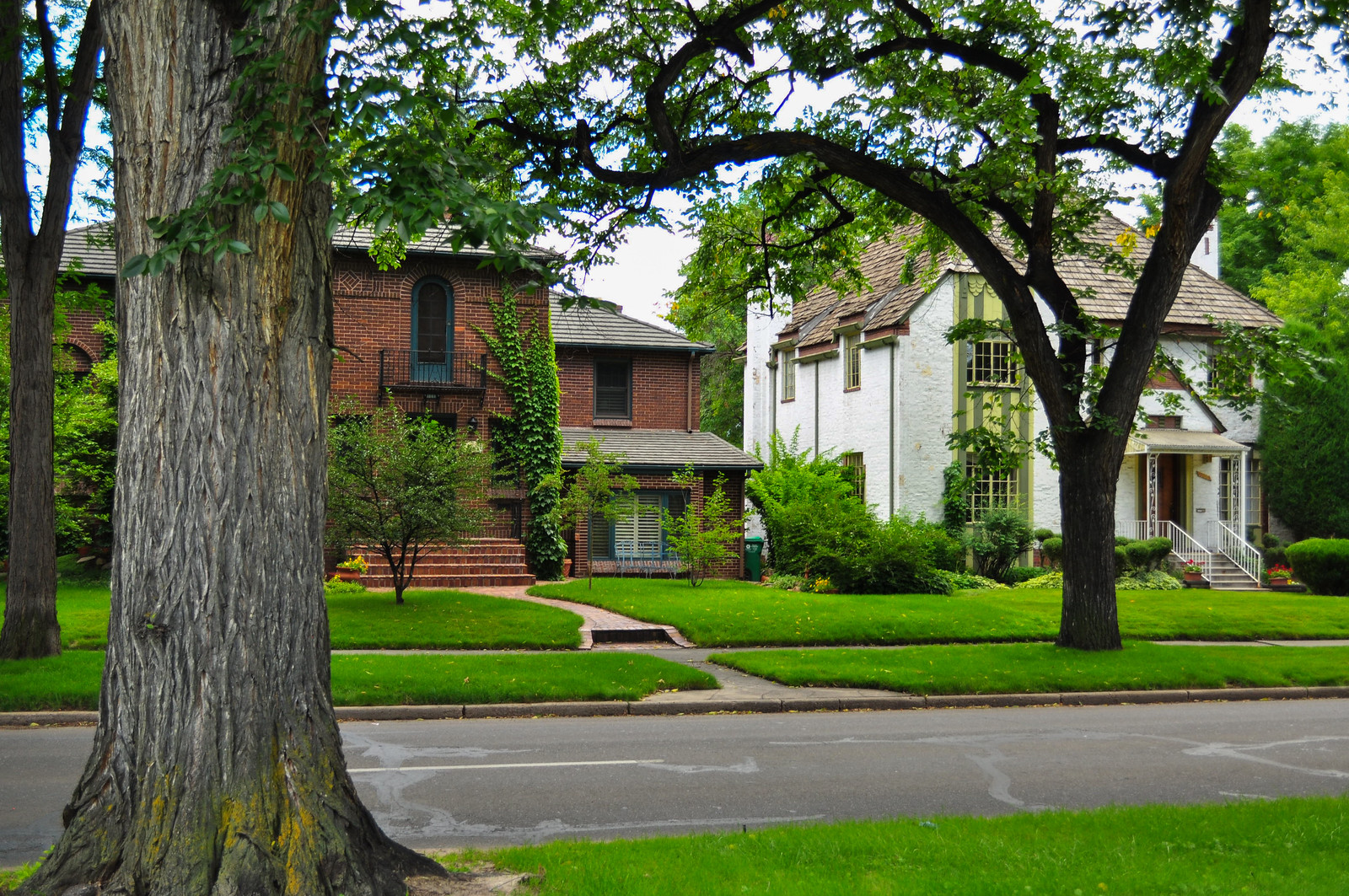
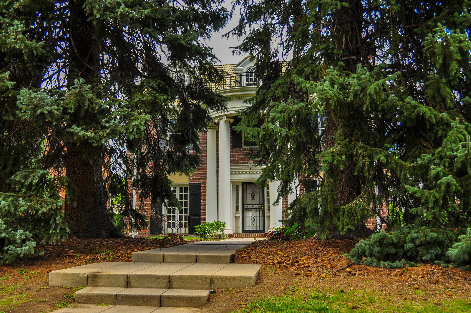
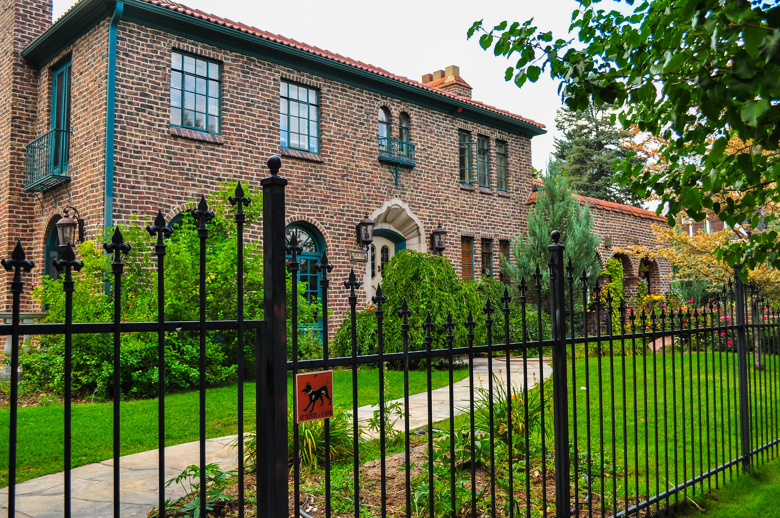
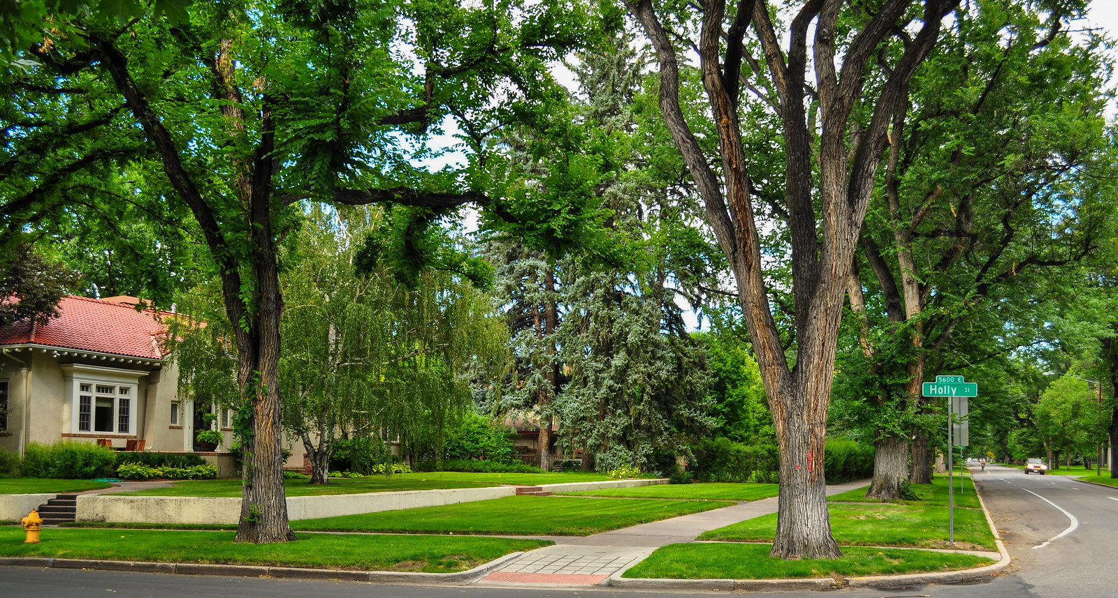 17th Avenue Parkway is about a mile and a half long running between Colorado Blvd. and Monaco Parkway.
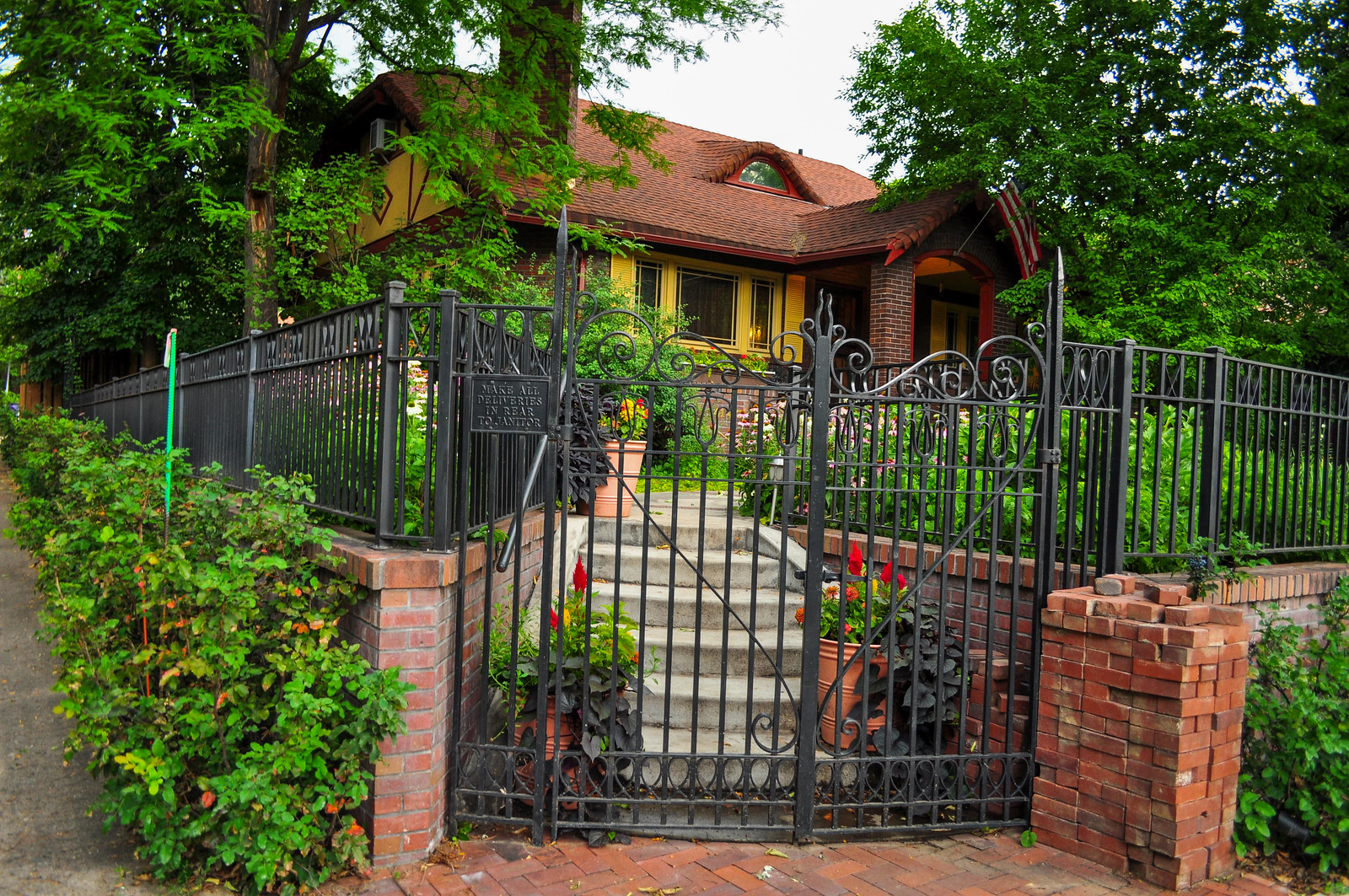
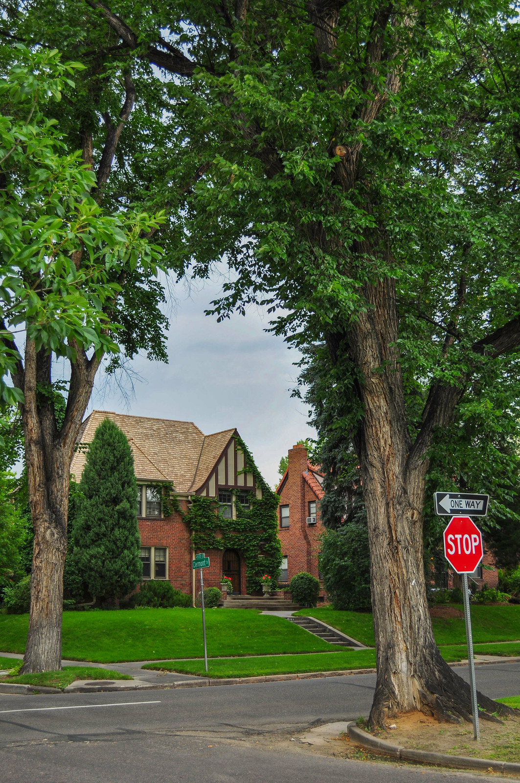
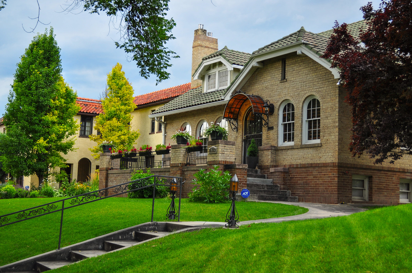
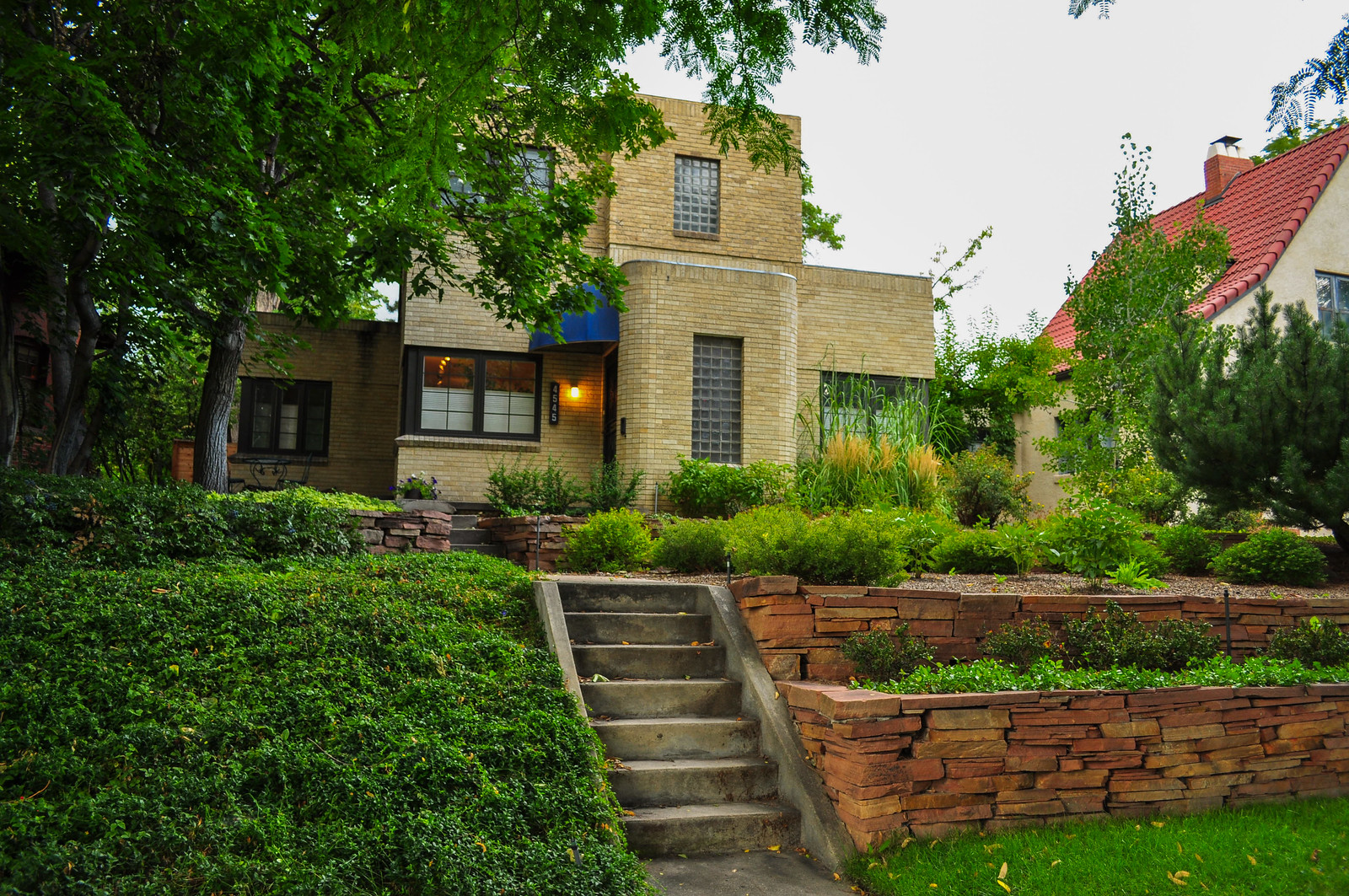
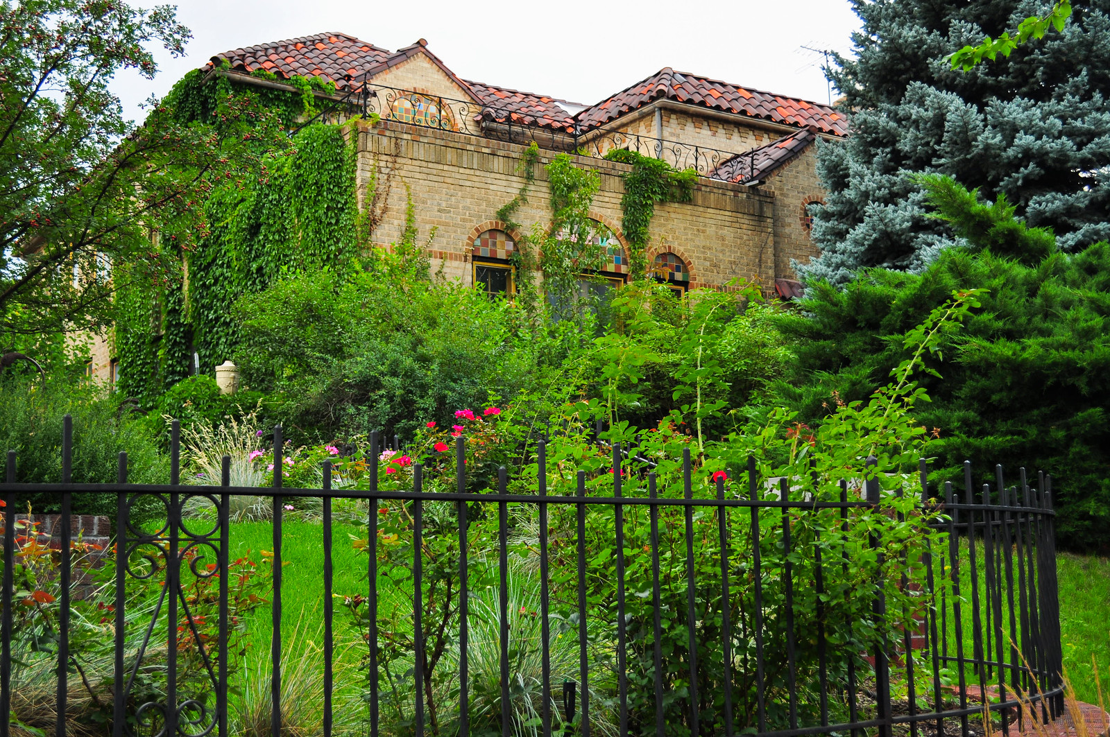
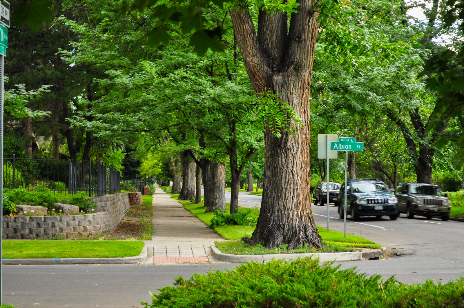
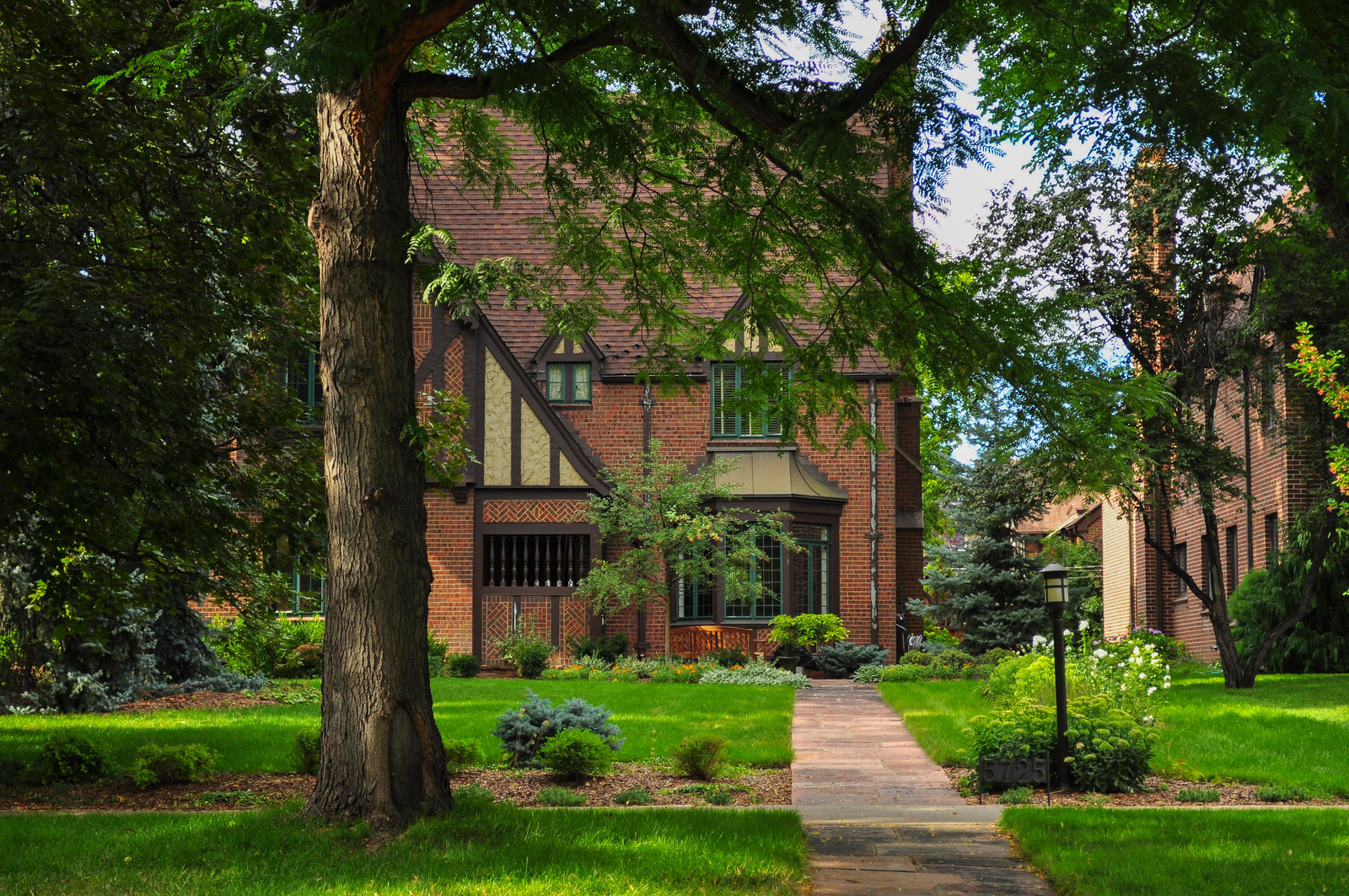
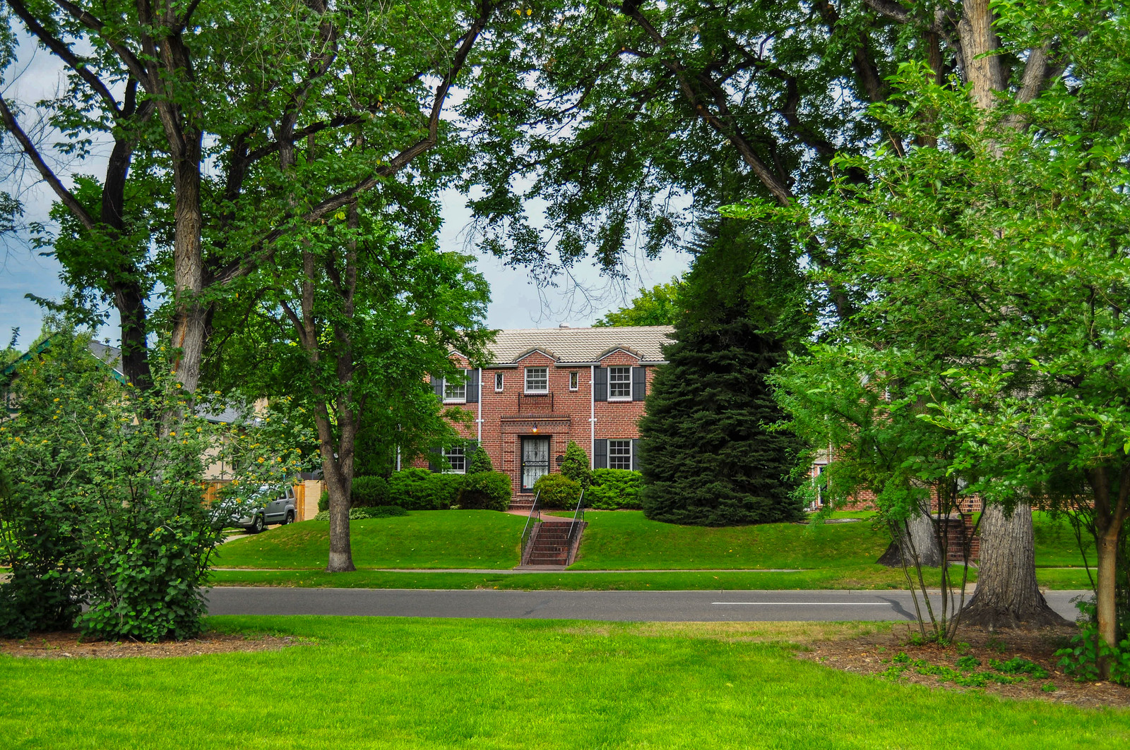
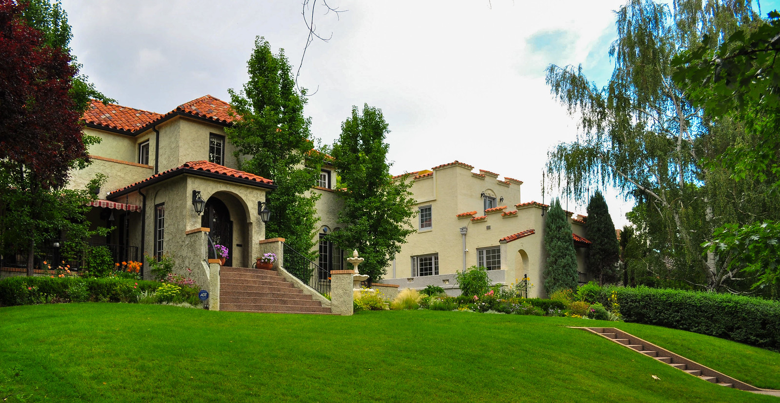
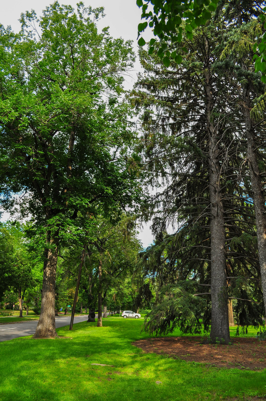
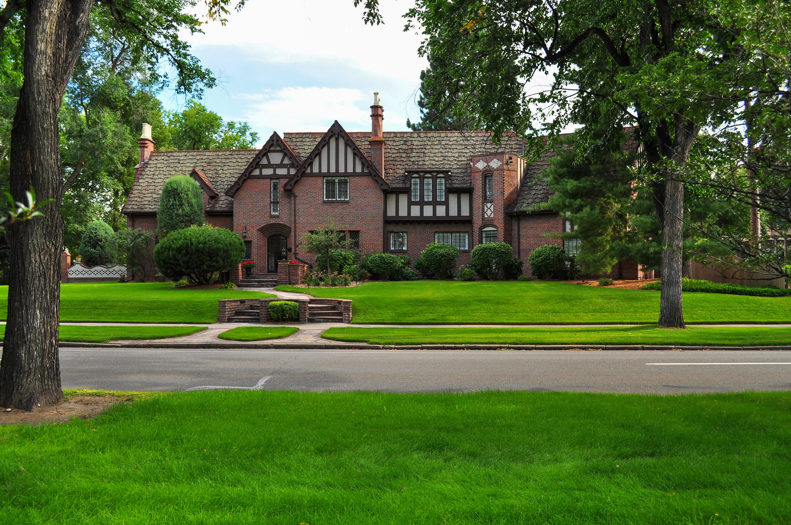

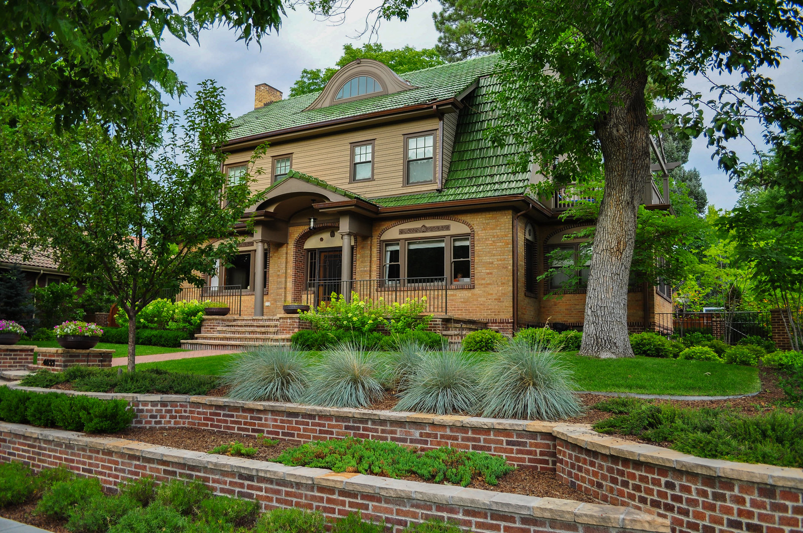
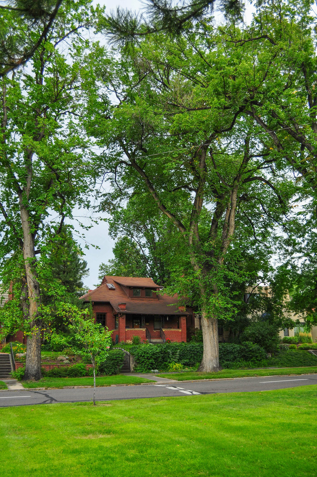
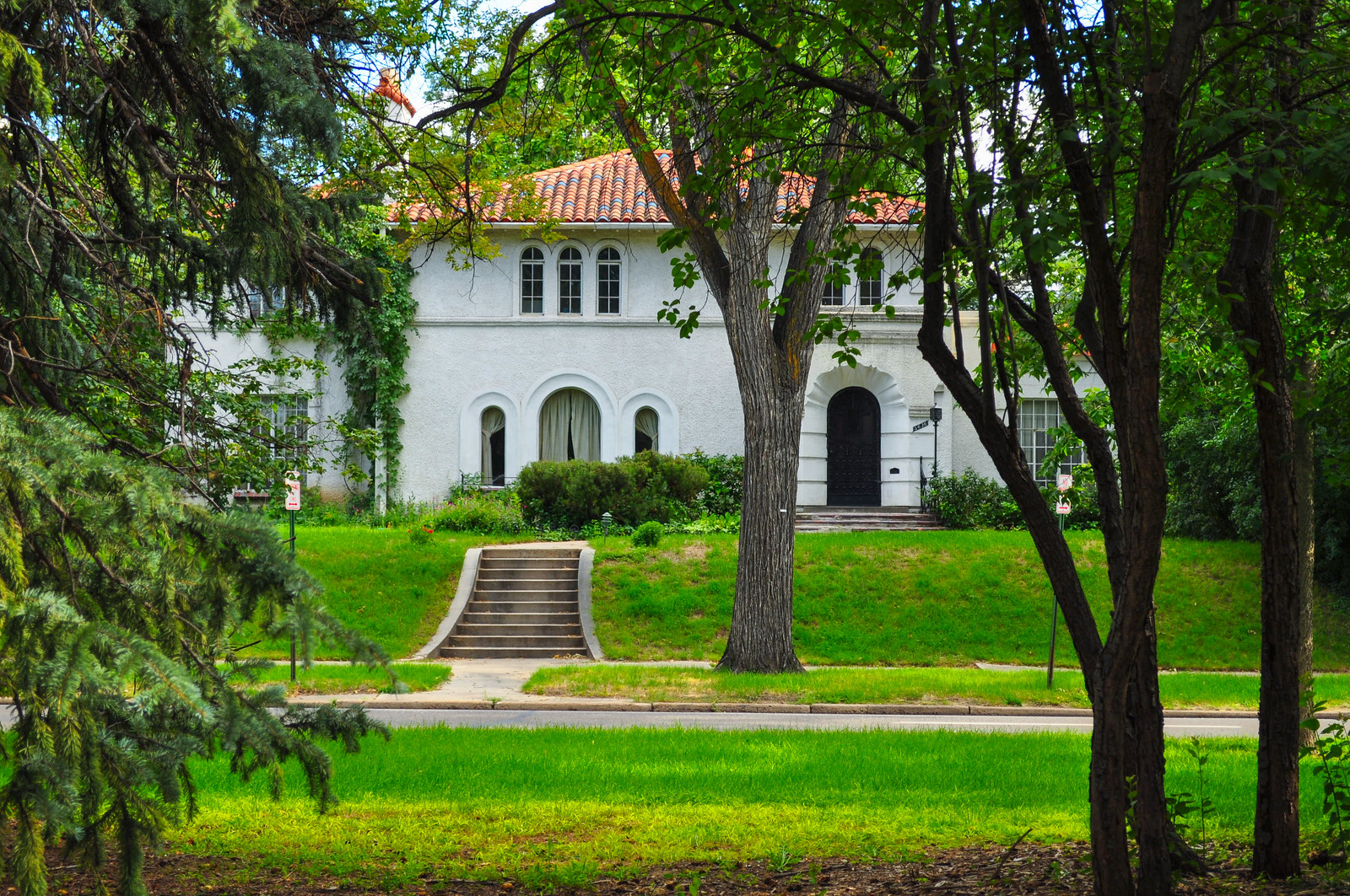
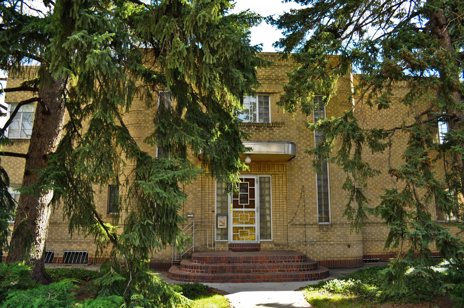
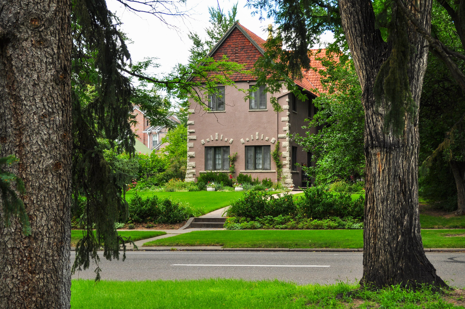
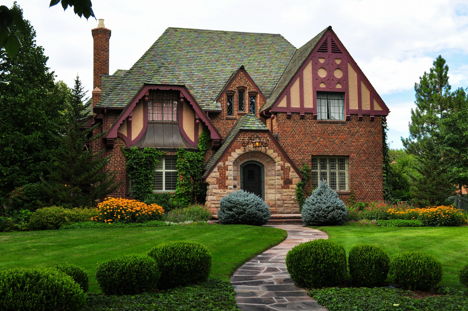
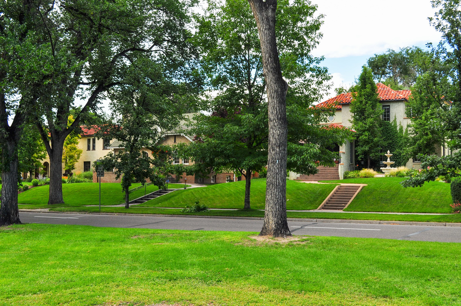
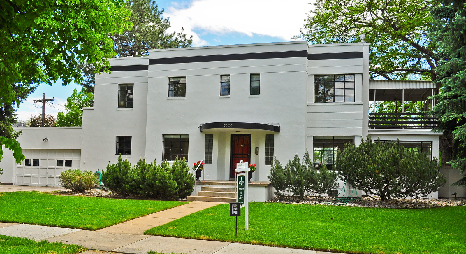
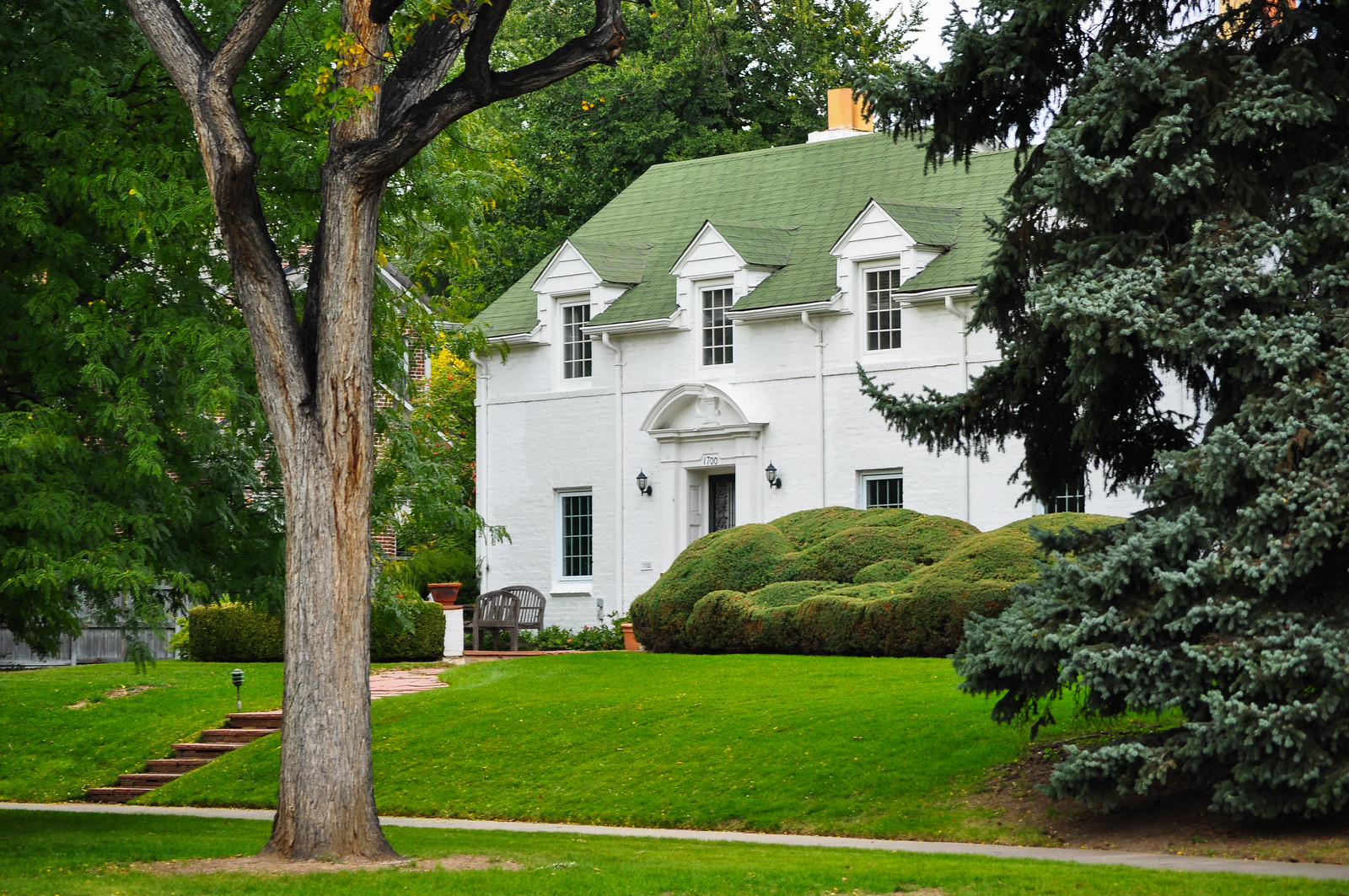
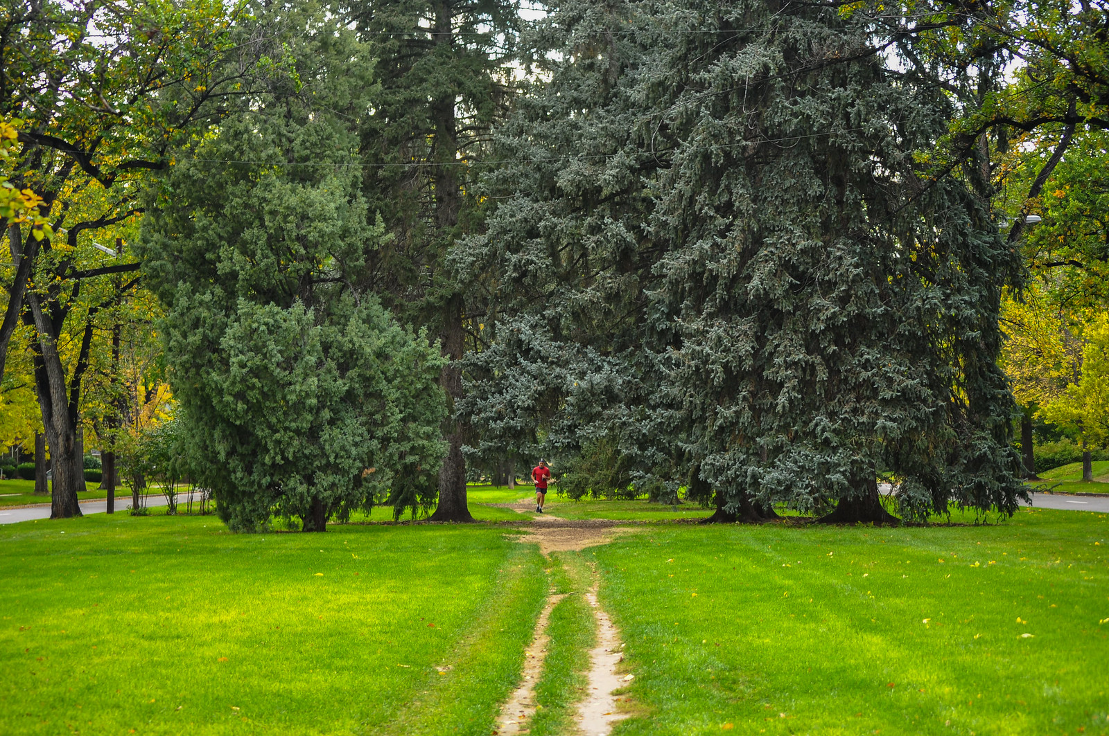
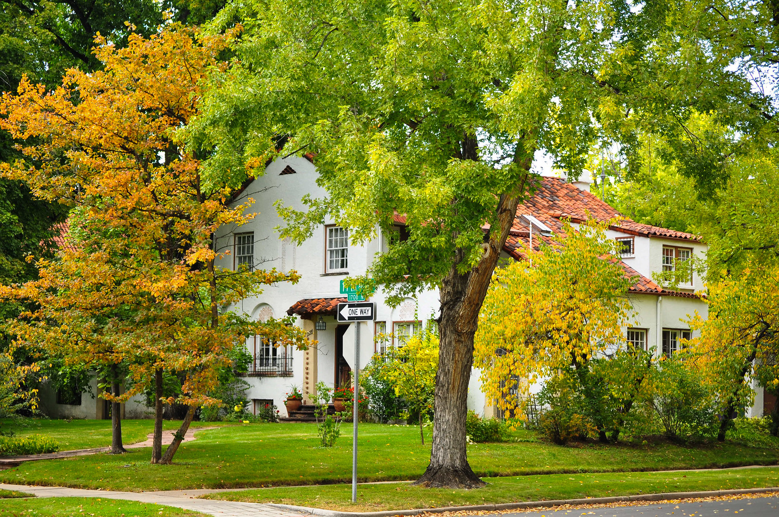
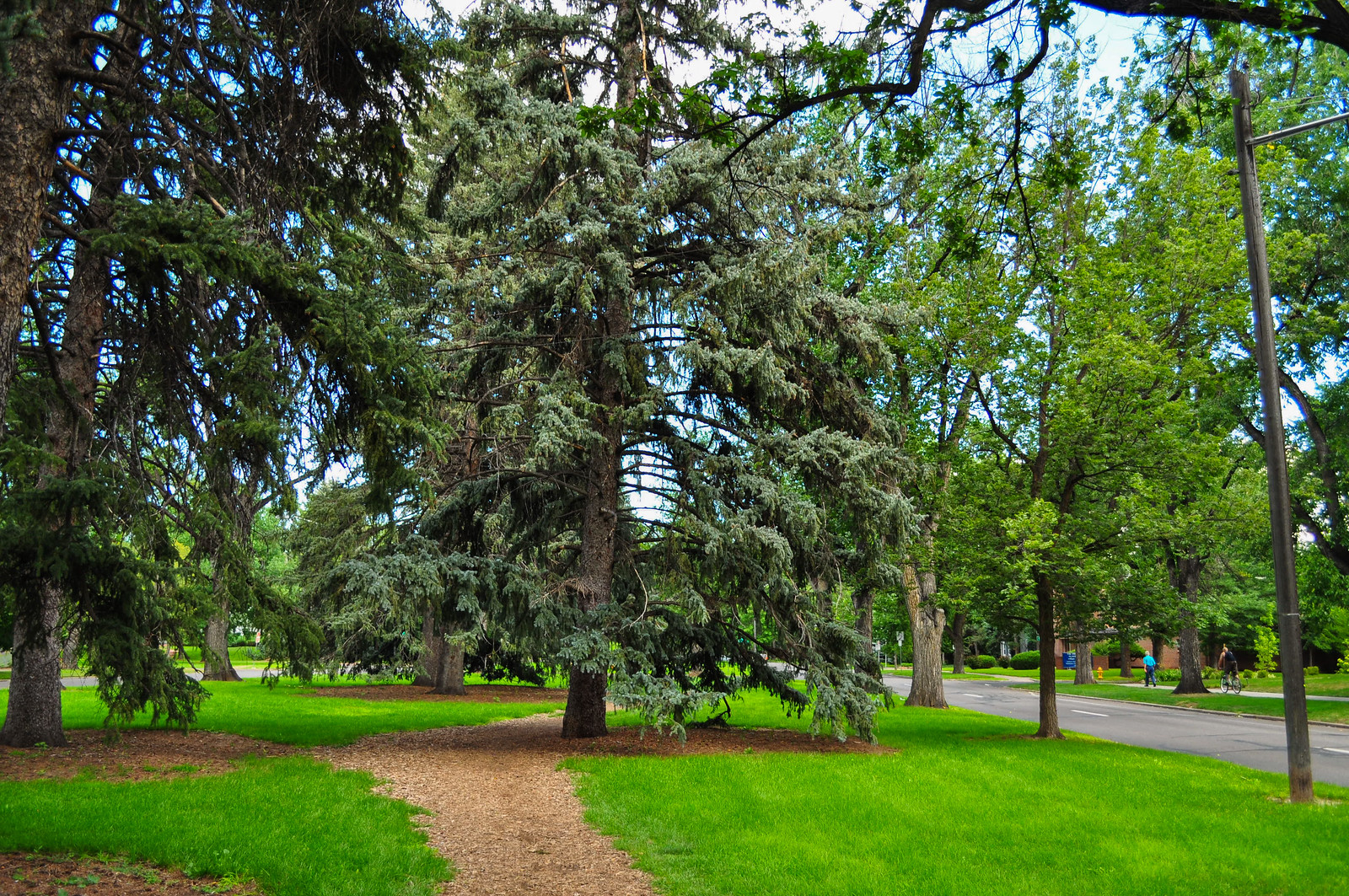
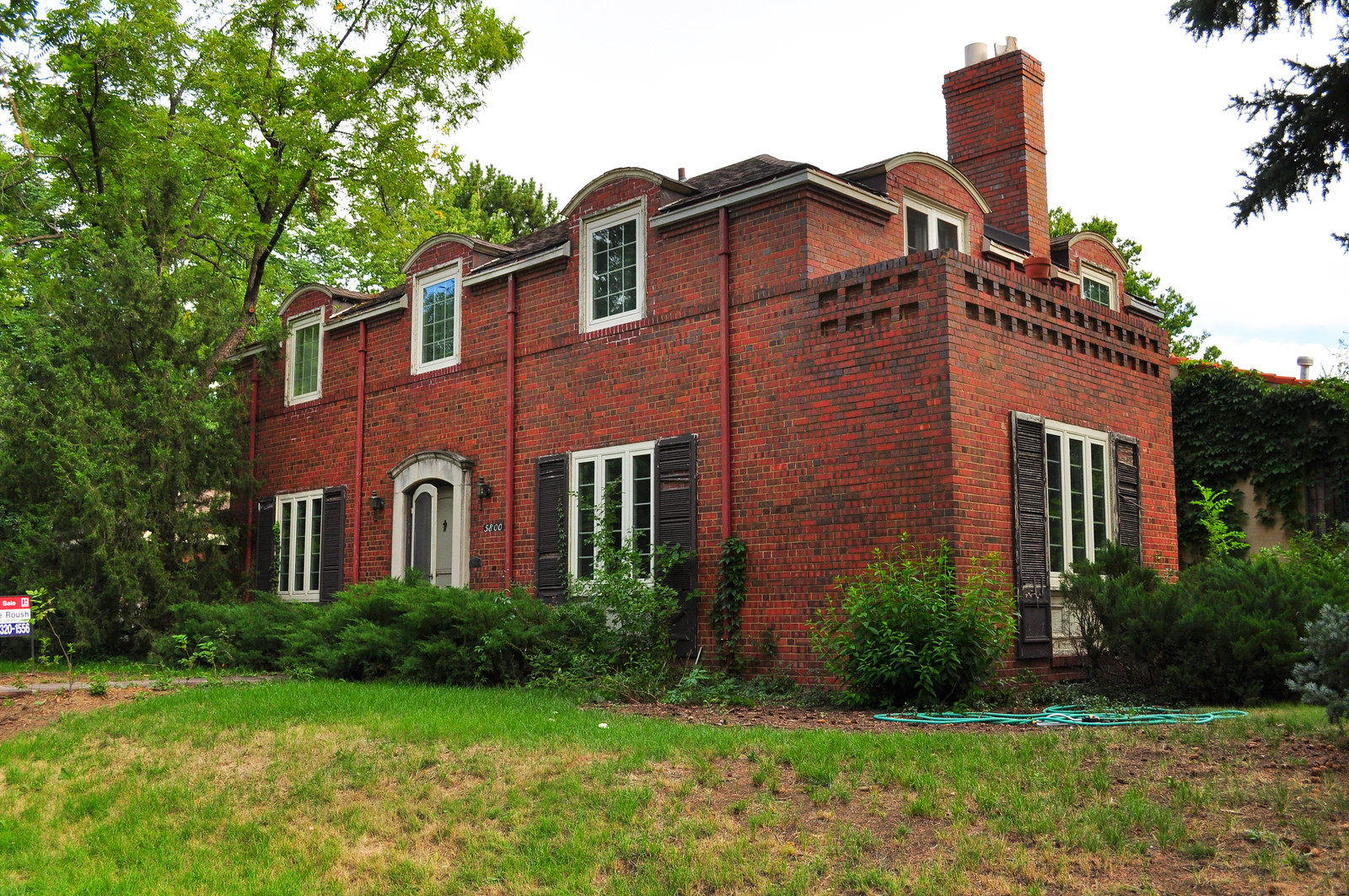
 Fixer-upper right on the parkway – step right up
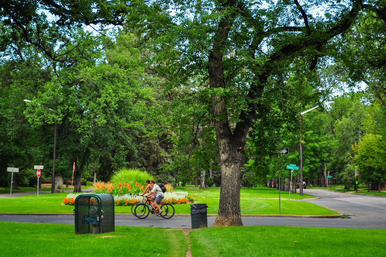
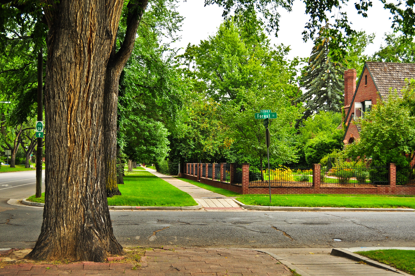
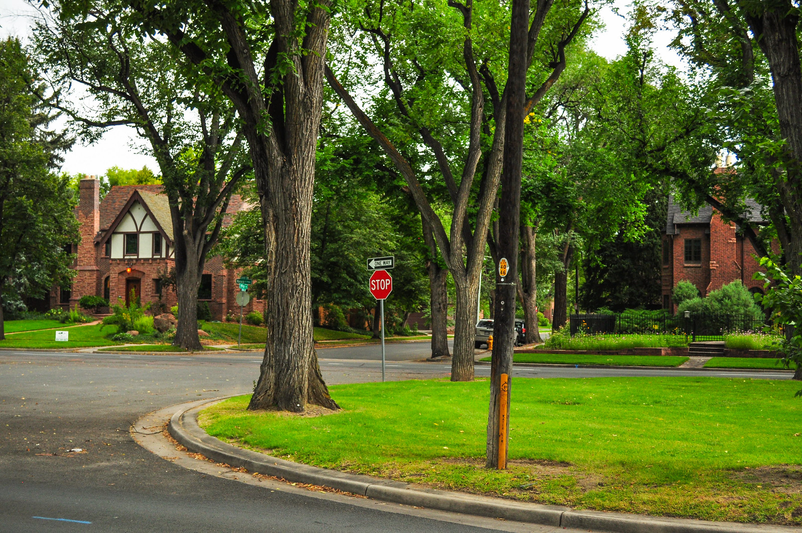
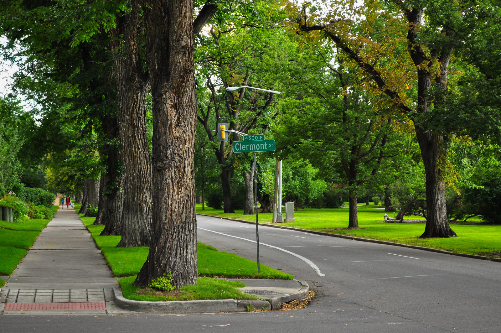 About midway between Colorado and Monaco is this intersection with Forest Parkway – I’m heading north up Forest to Montview Parkway.
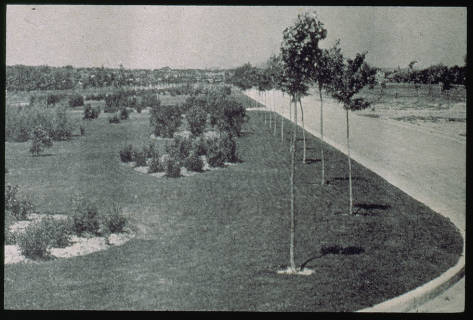
 The Parkway in the early 1900s – designed by Frederick Law Olmstead, Jr. This is near the intersection with Forest Parkway pictured above
Denver Public Library - Western History Collection
The Parkway in the early 1900s – designed by Frederick Law Olmstead, Jr. This is near the intersection with Forest Parkway pictured above
Denver Public Library - Western History Collection
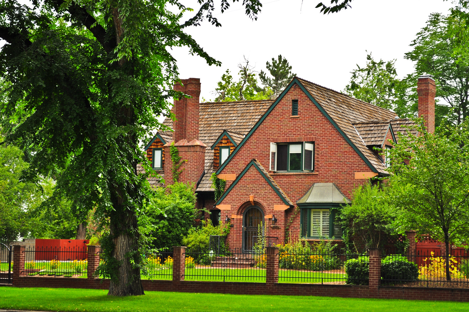
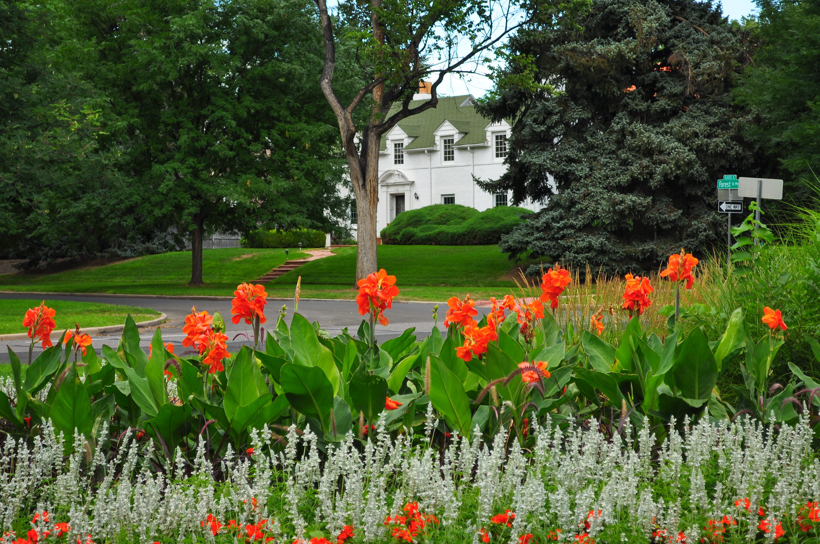 Heading north now – that’s Forest parkway on the left.
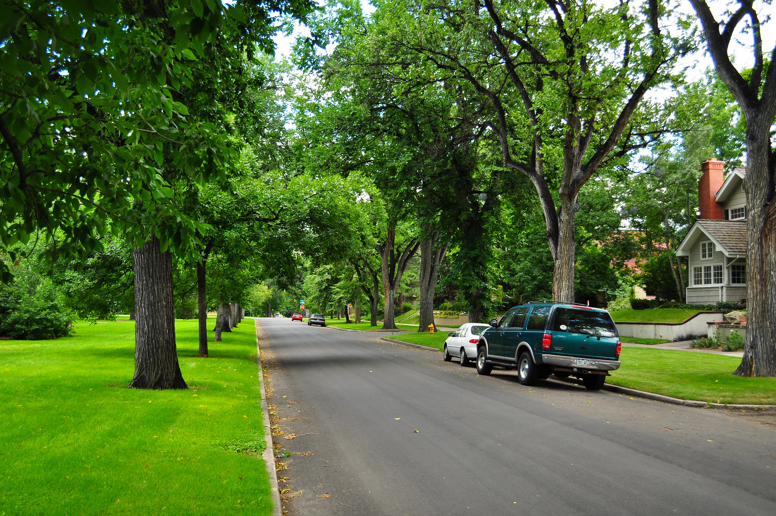
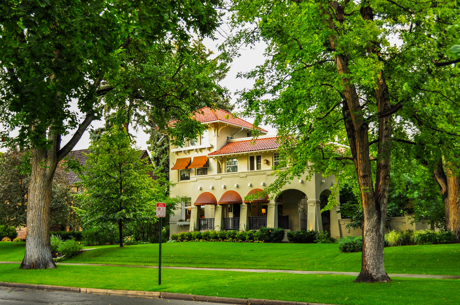
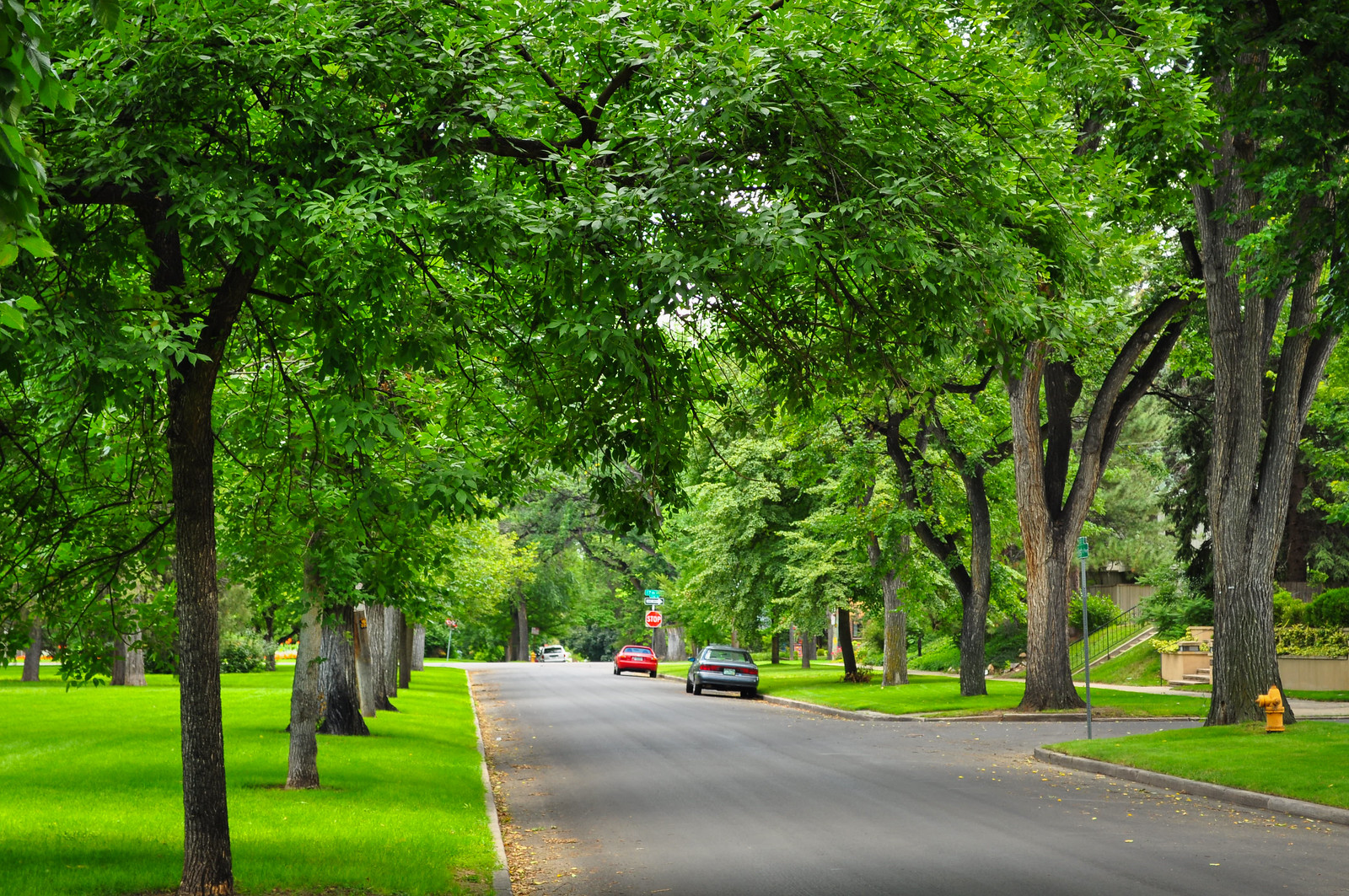
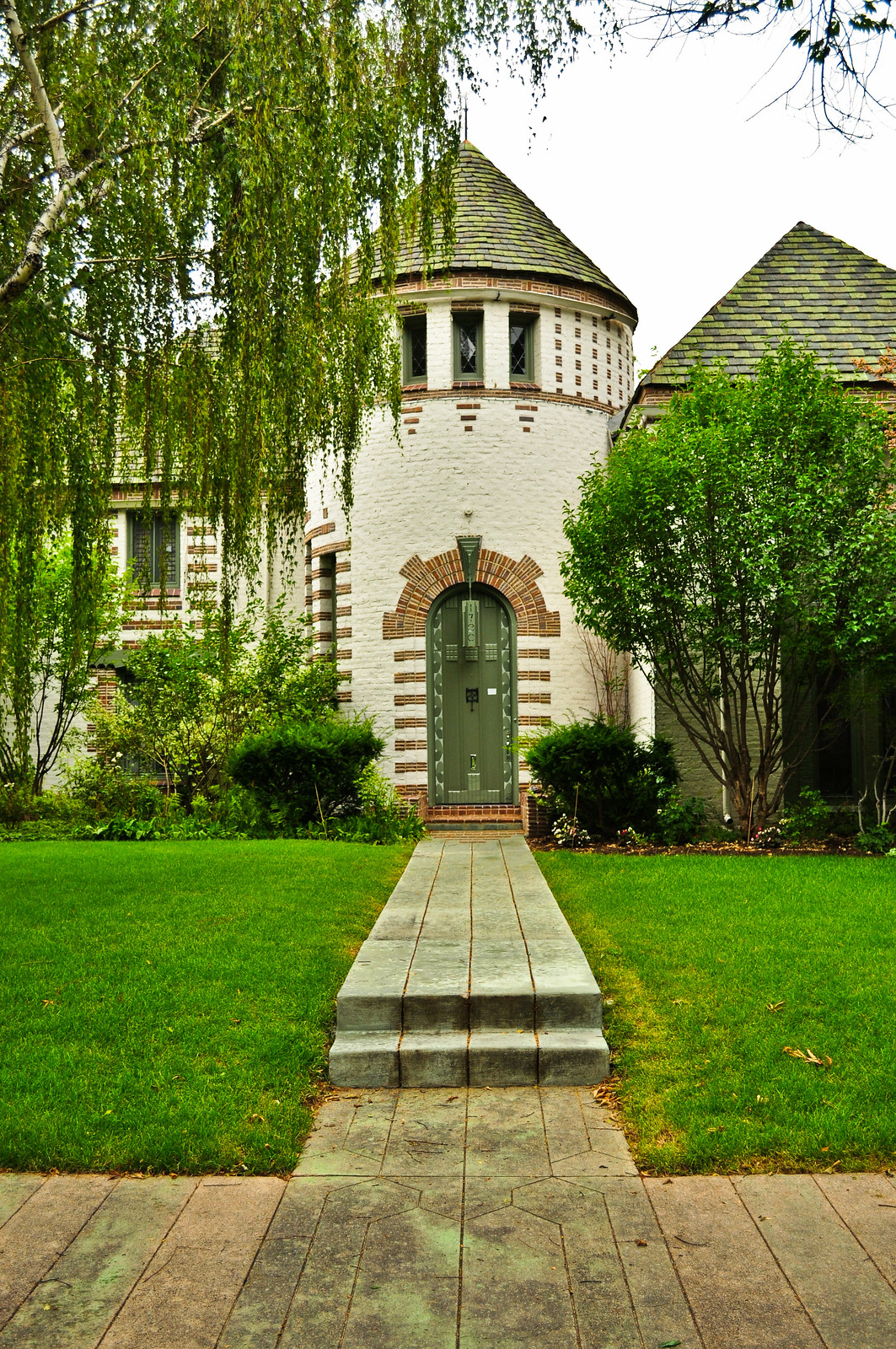
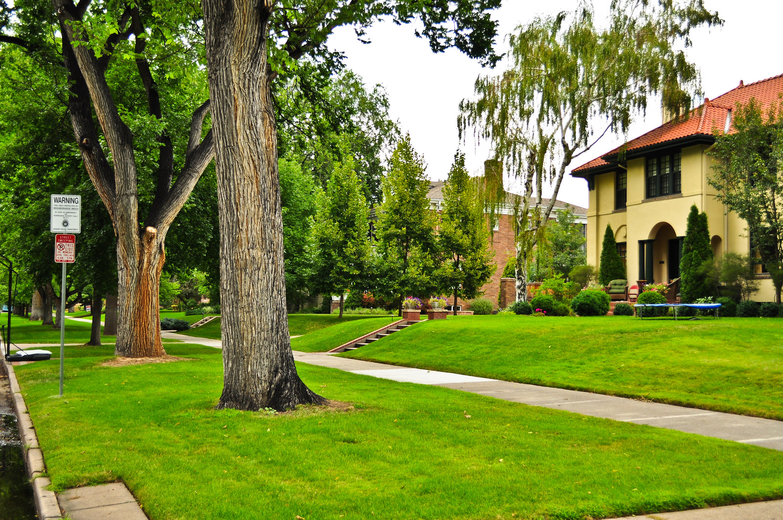
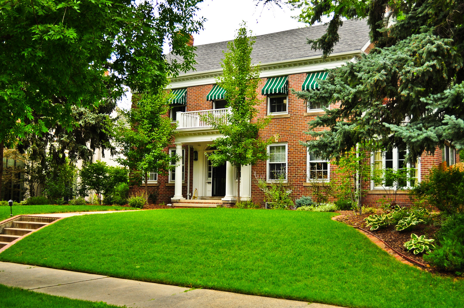
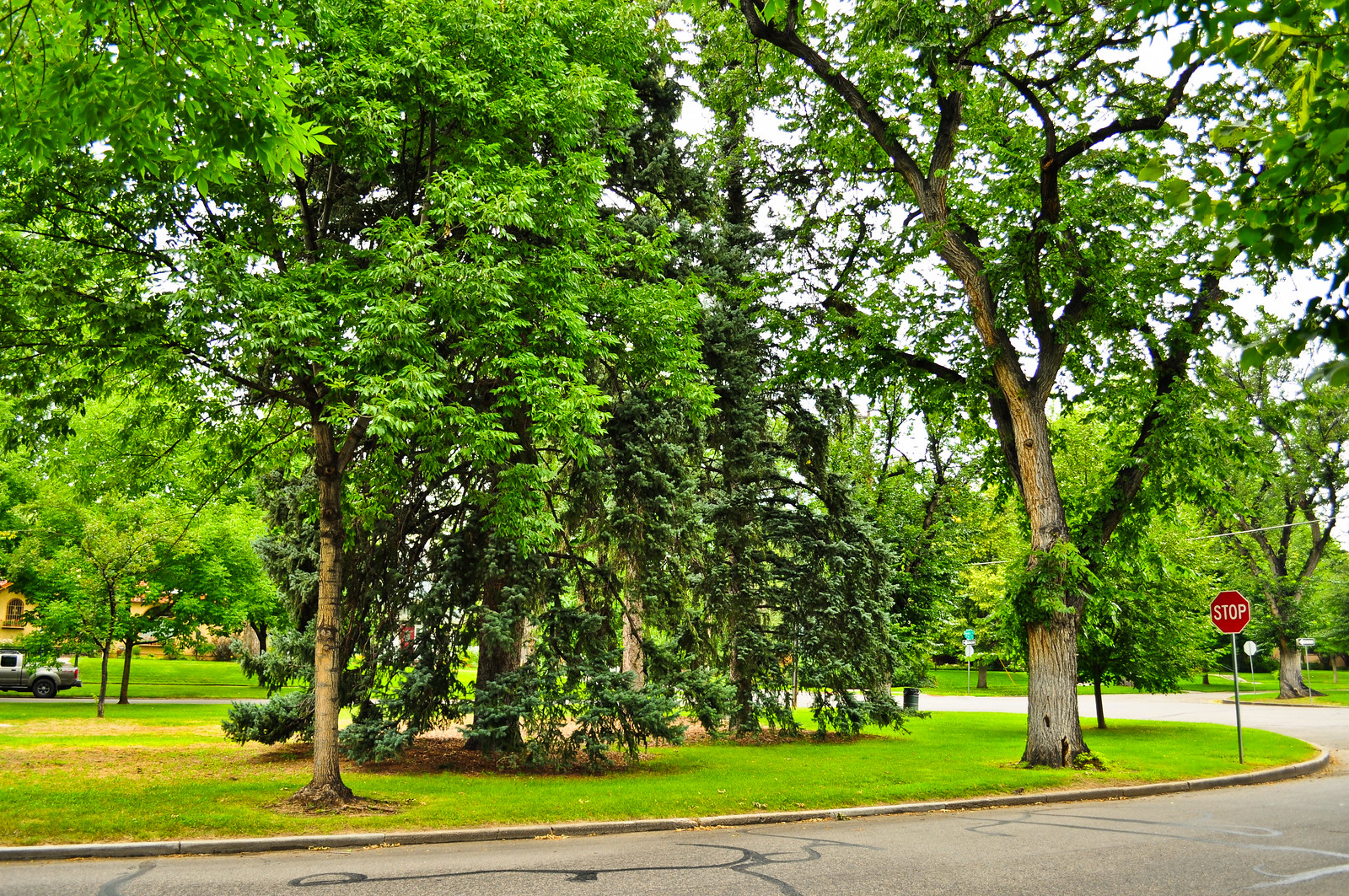
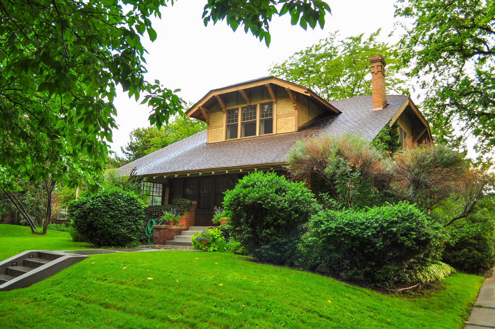 Walking down Forest Parkway.
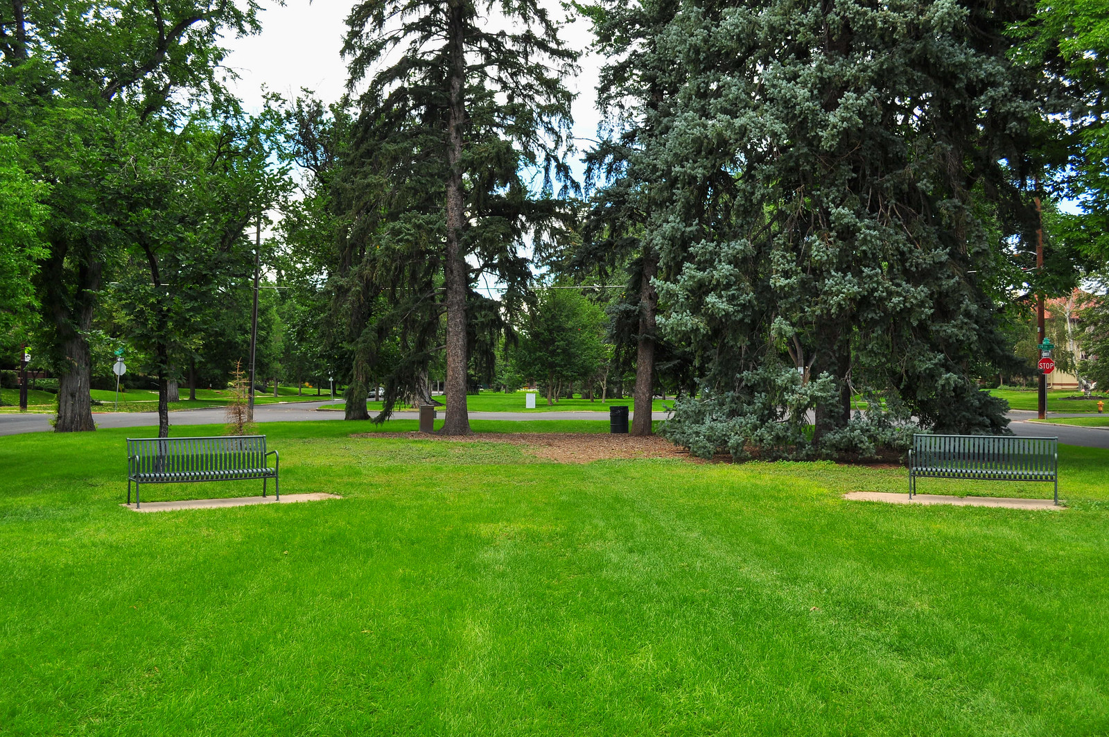
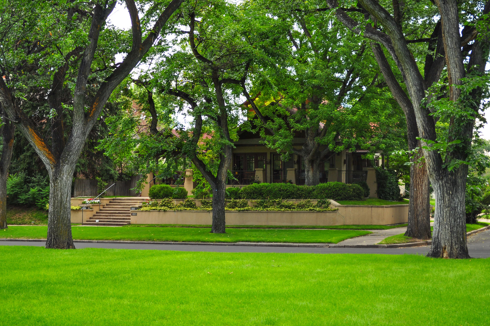
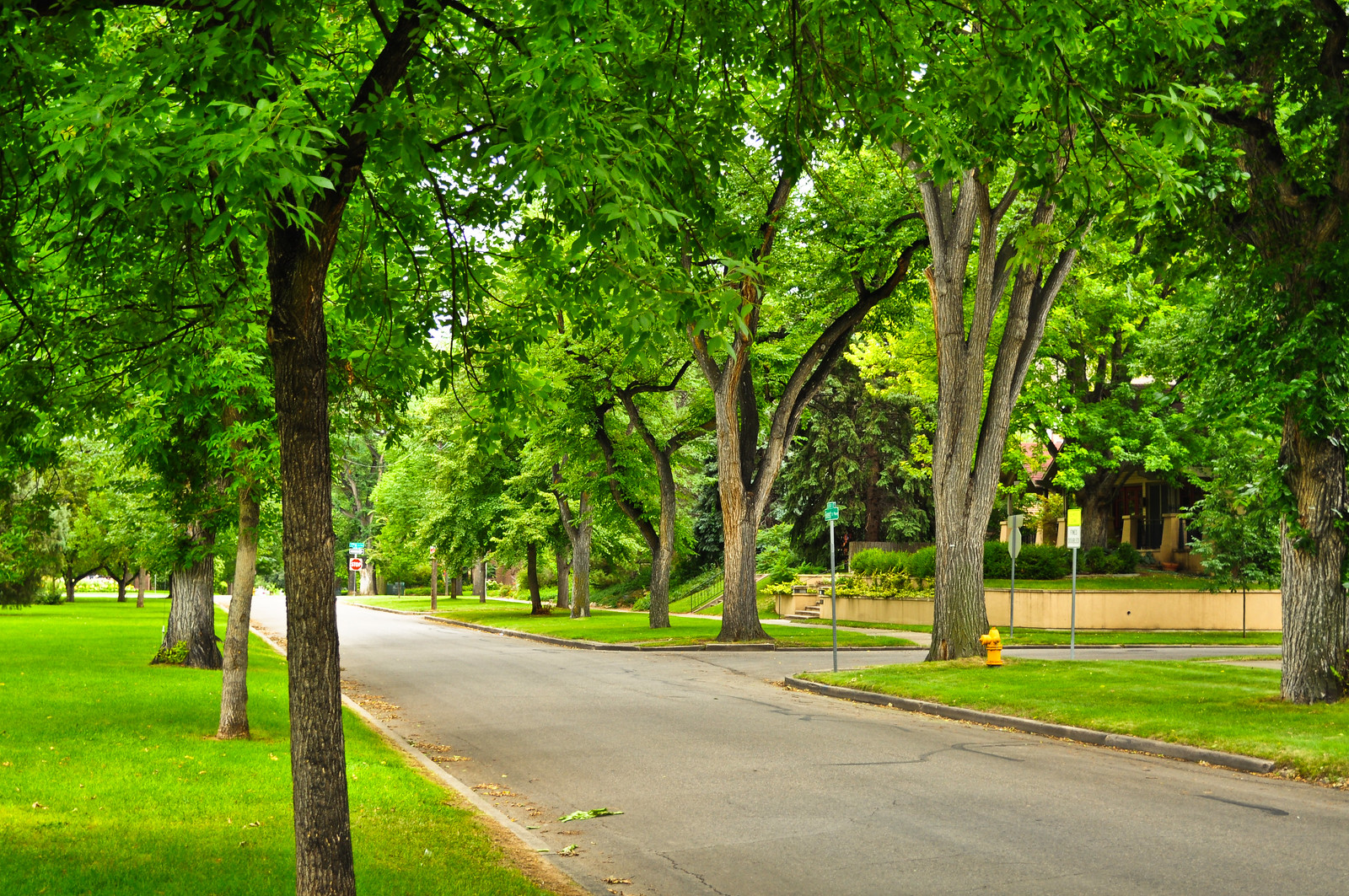 We’re at Montview Parkway now – Park Hill United Methodist Church – 1910. Architect William N. Bowman.
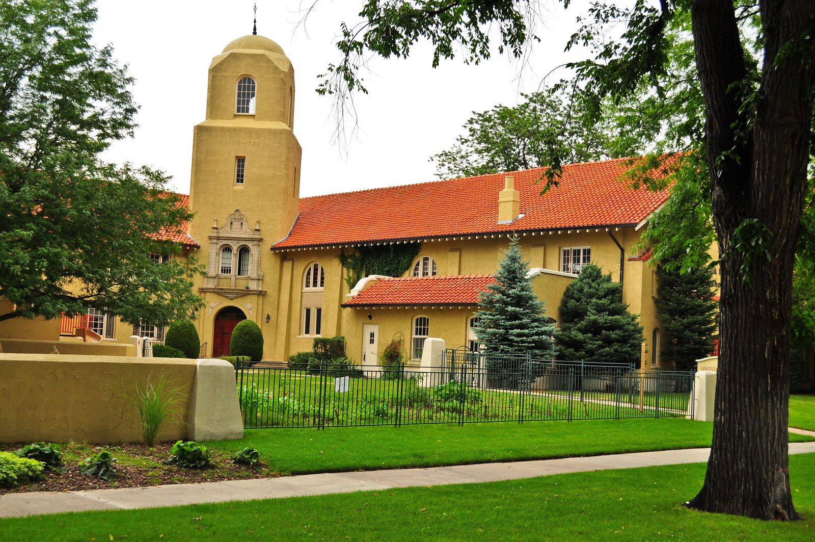
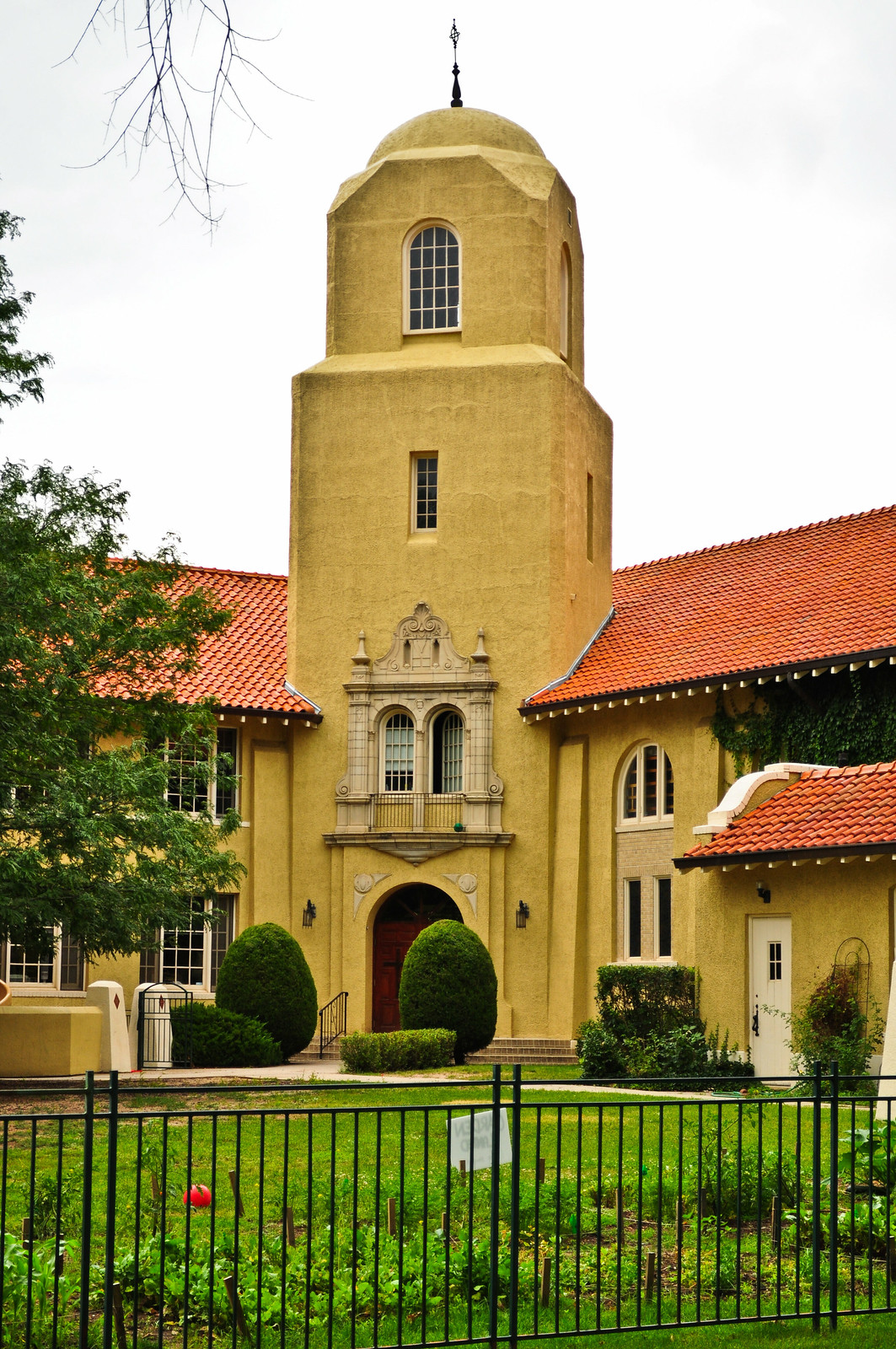
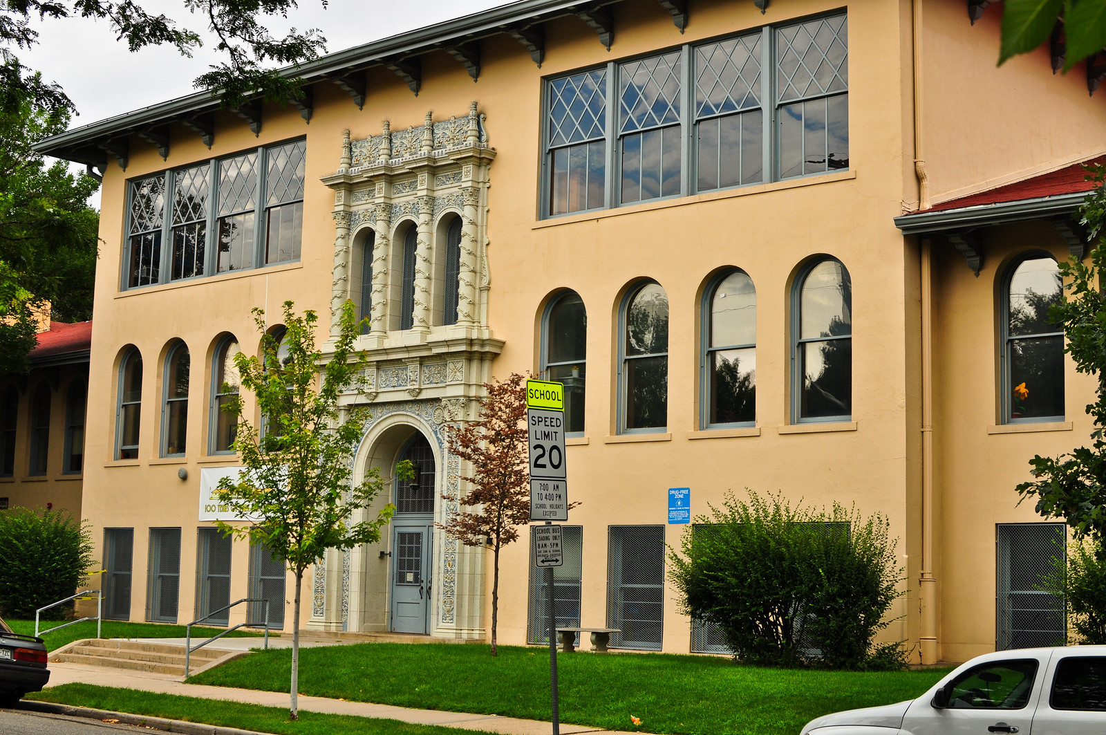
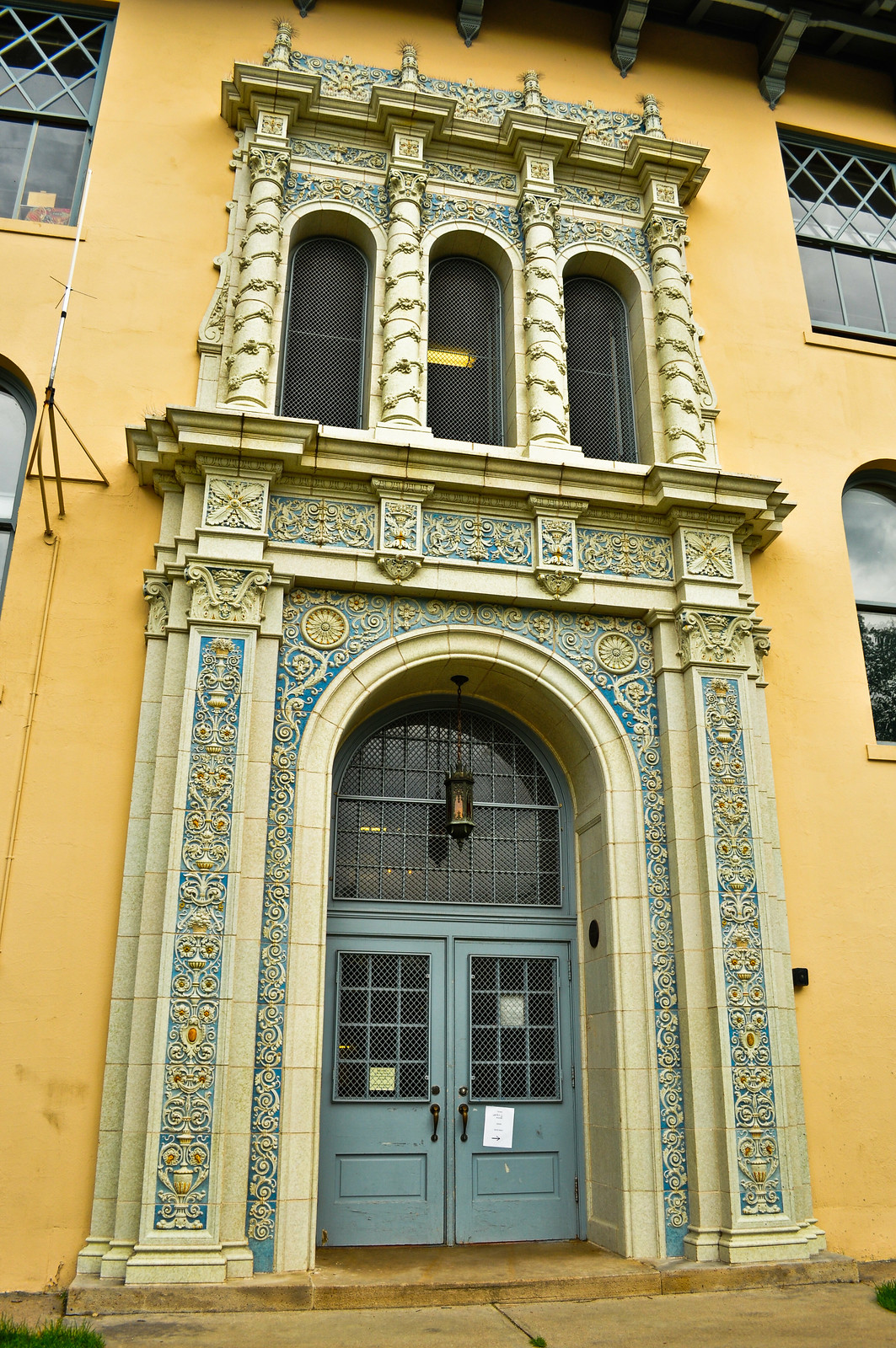
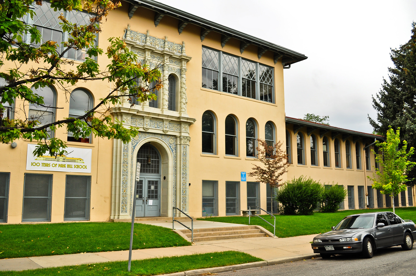
 Park Hill Elementary – 1901. Architect, Jules Jacques Benedict.
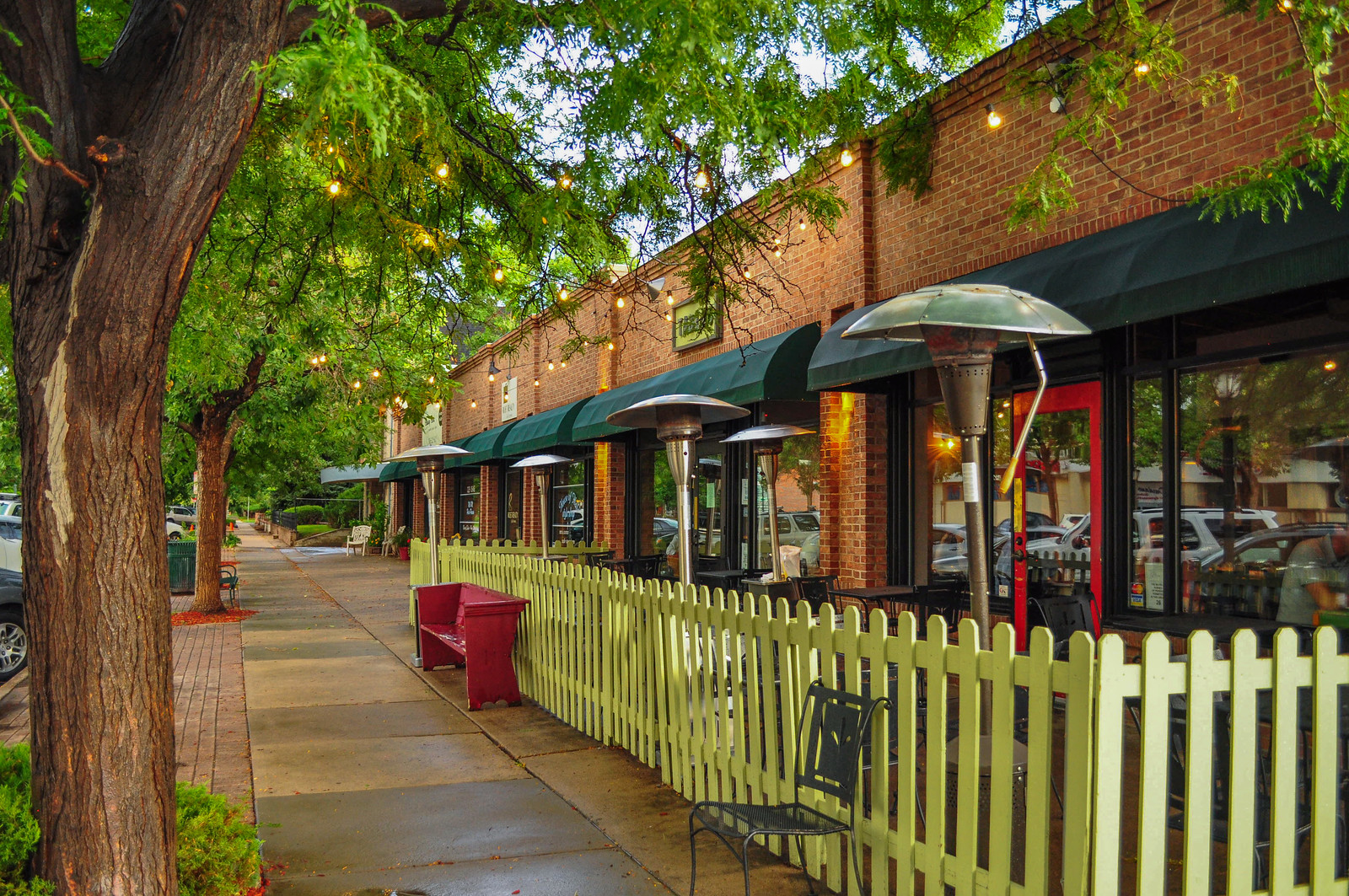

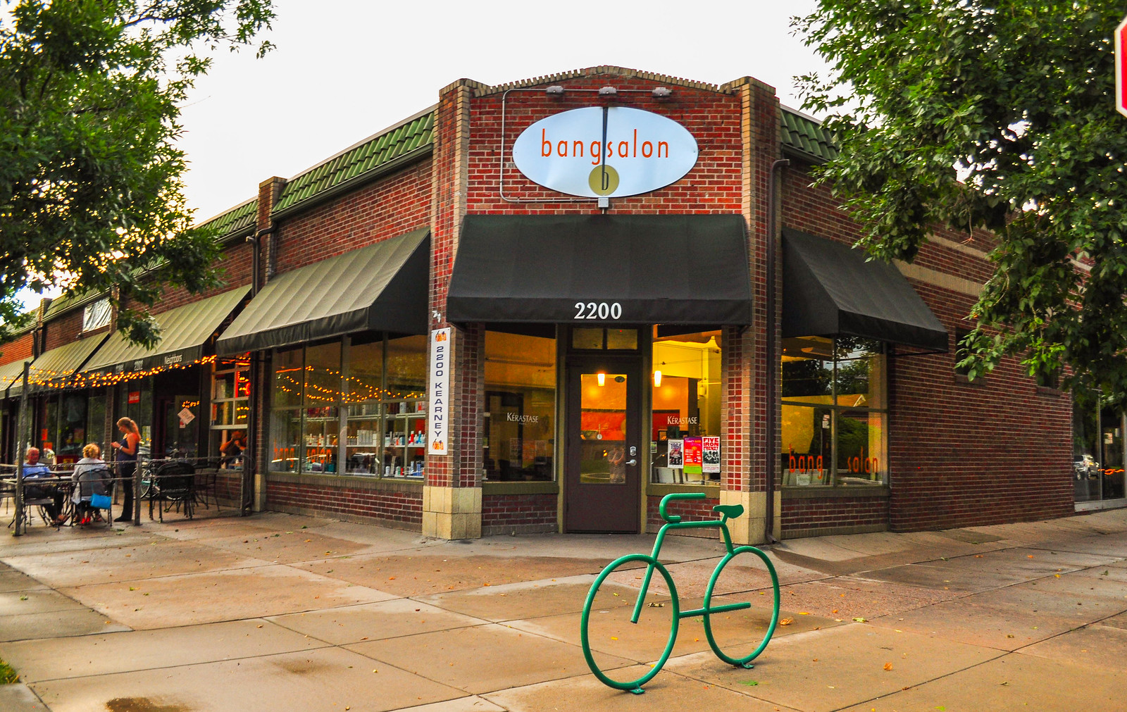
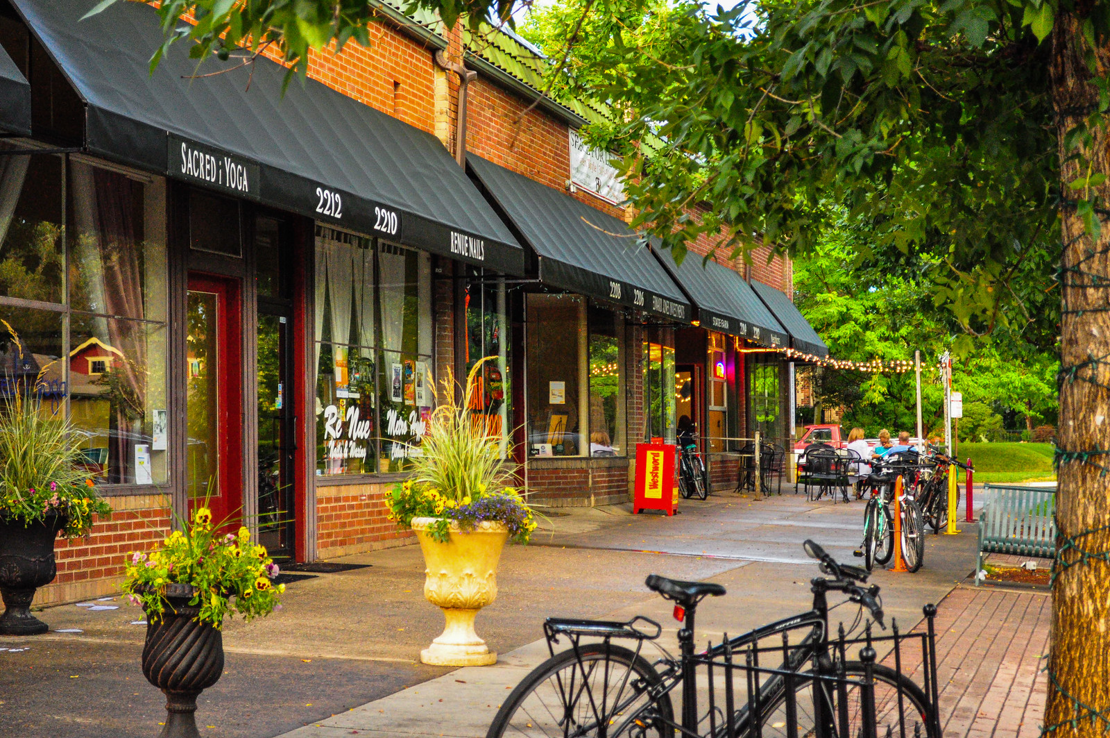
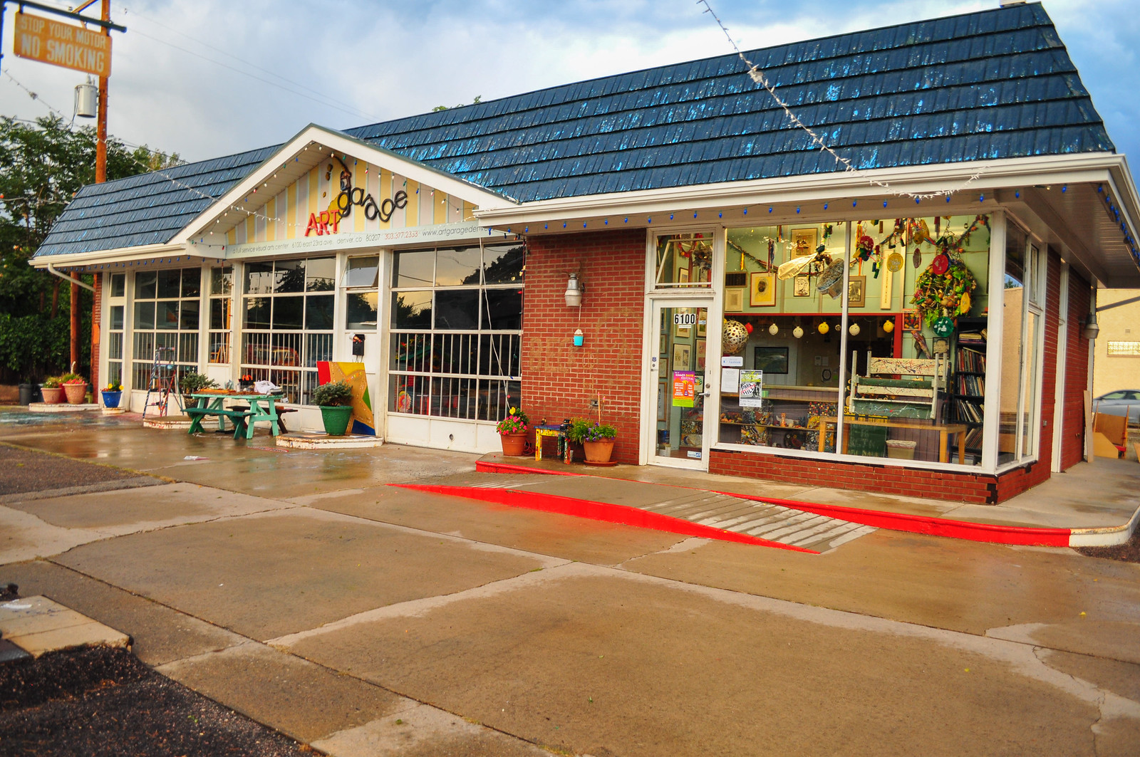
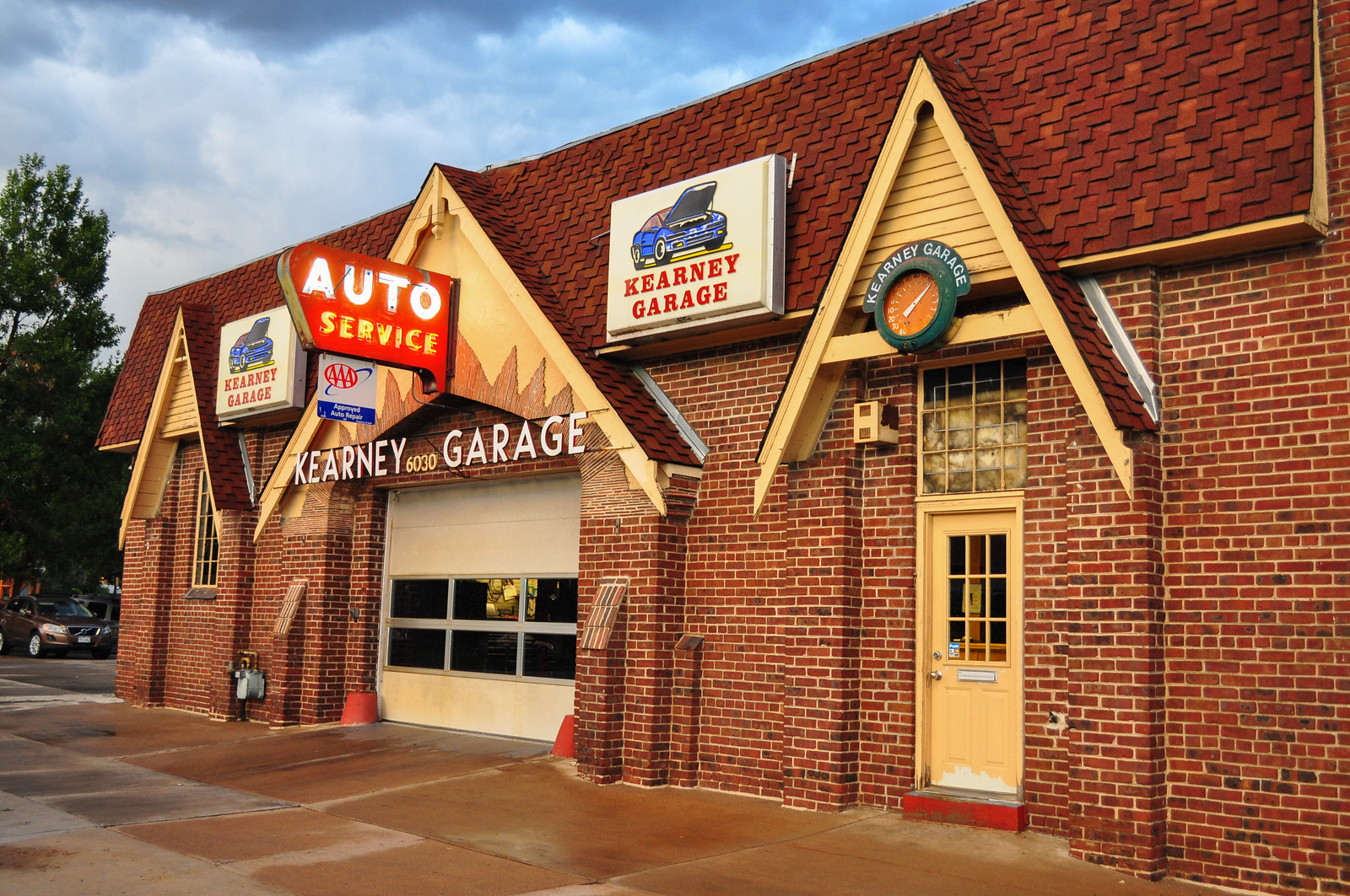
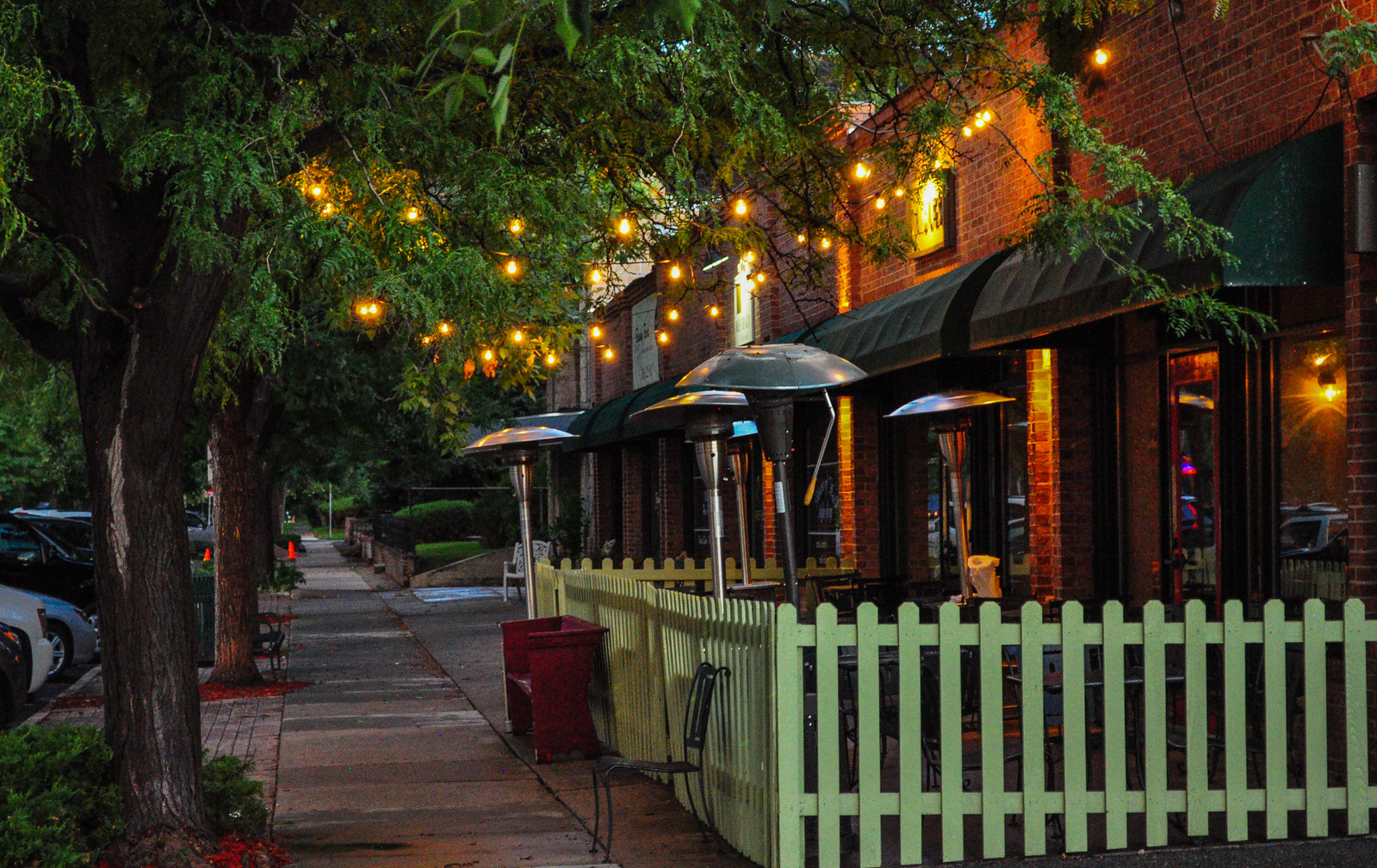 Still working my way down Montview Parkway and side streets.
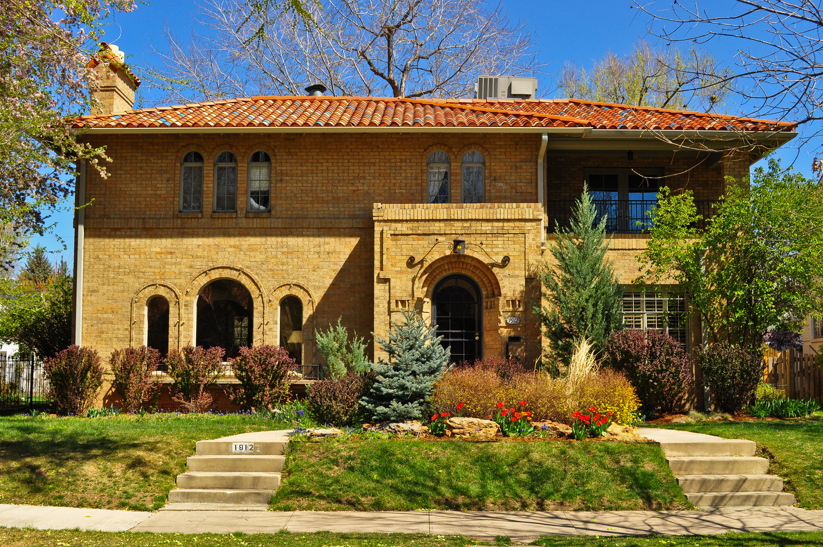
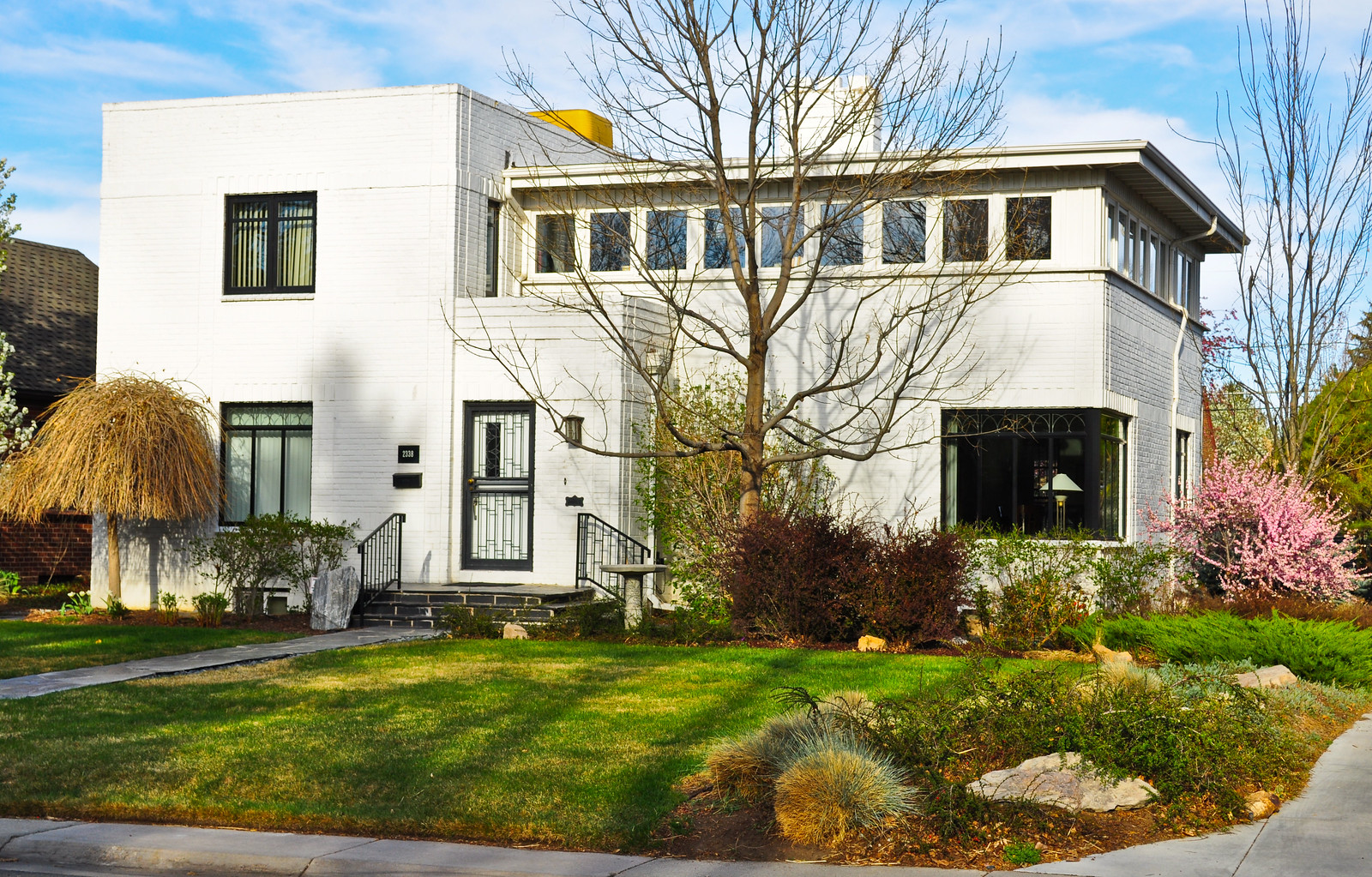
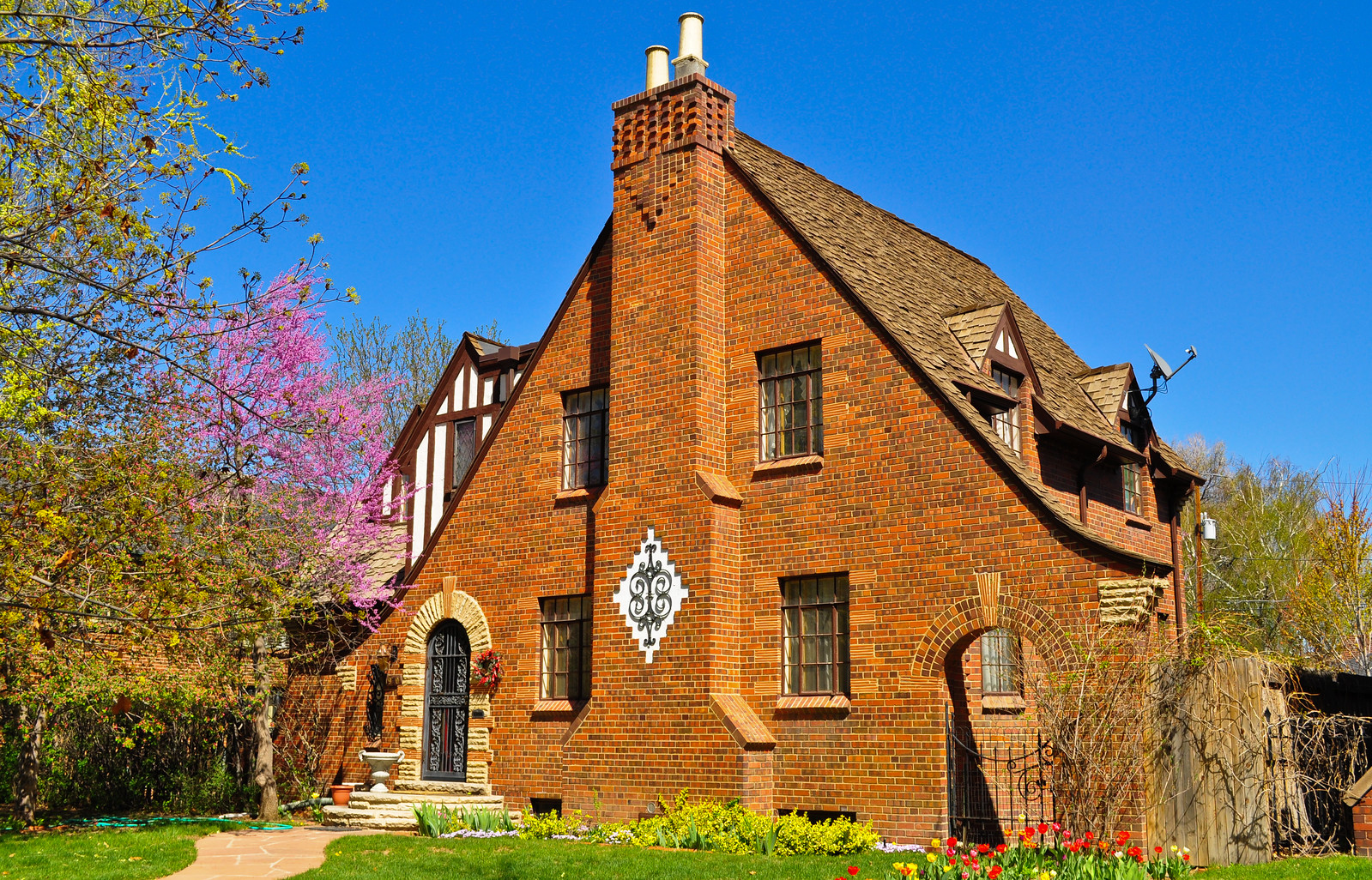
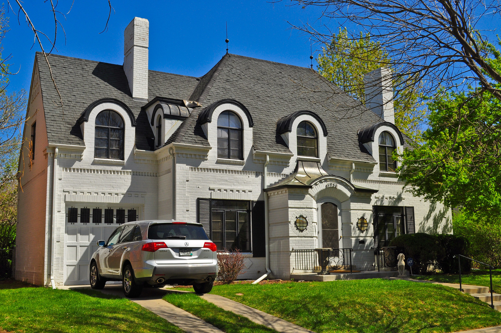
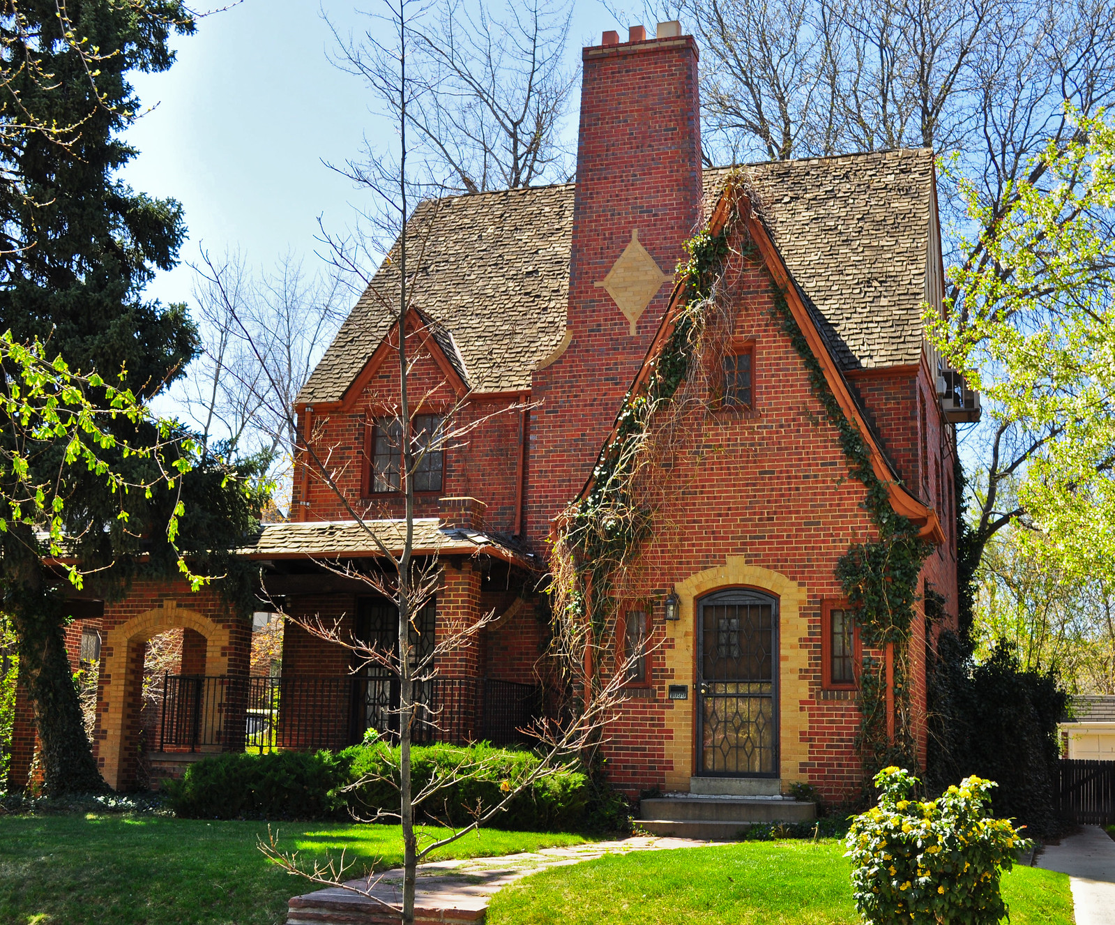
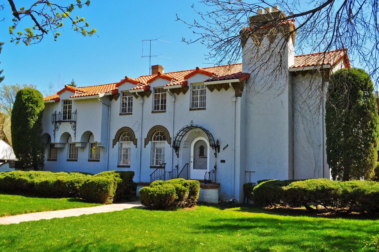
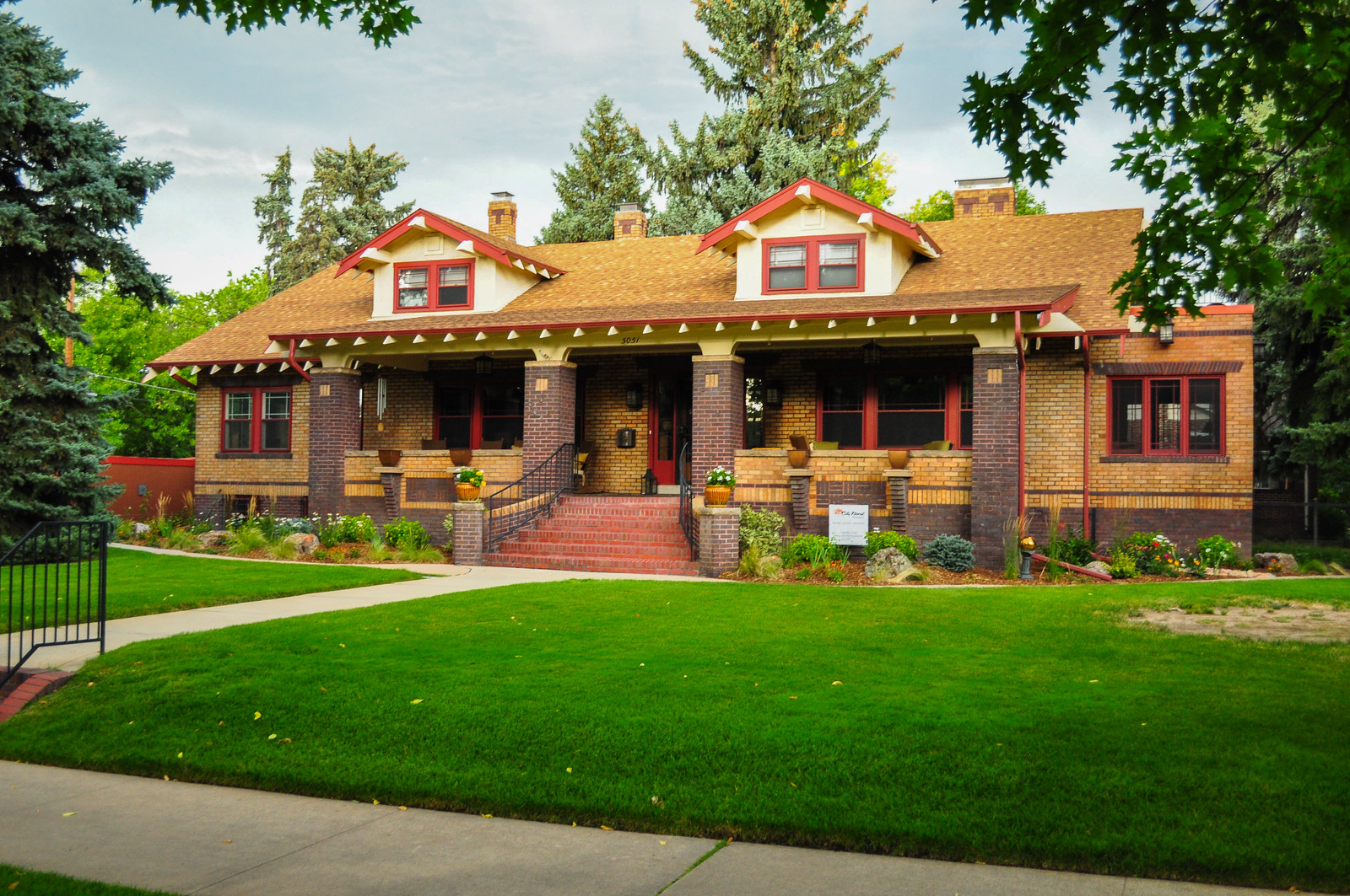
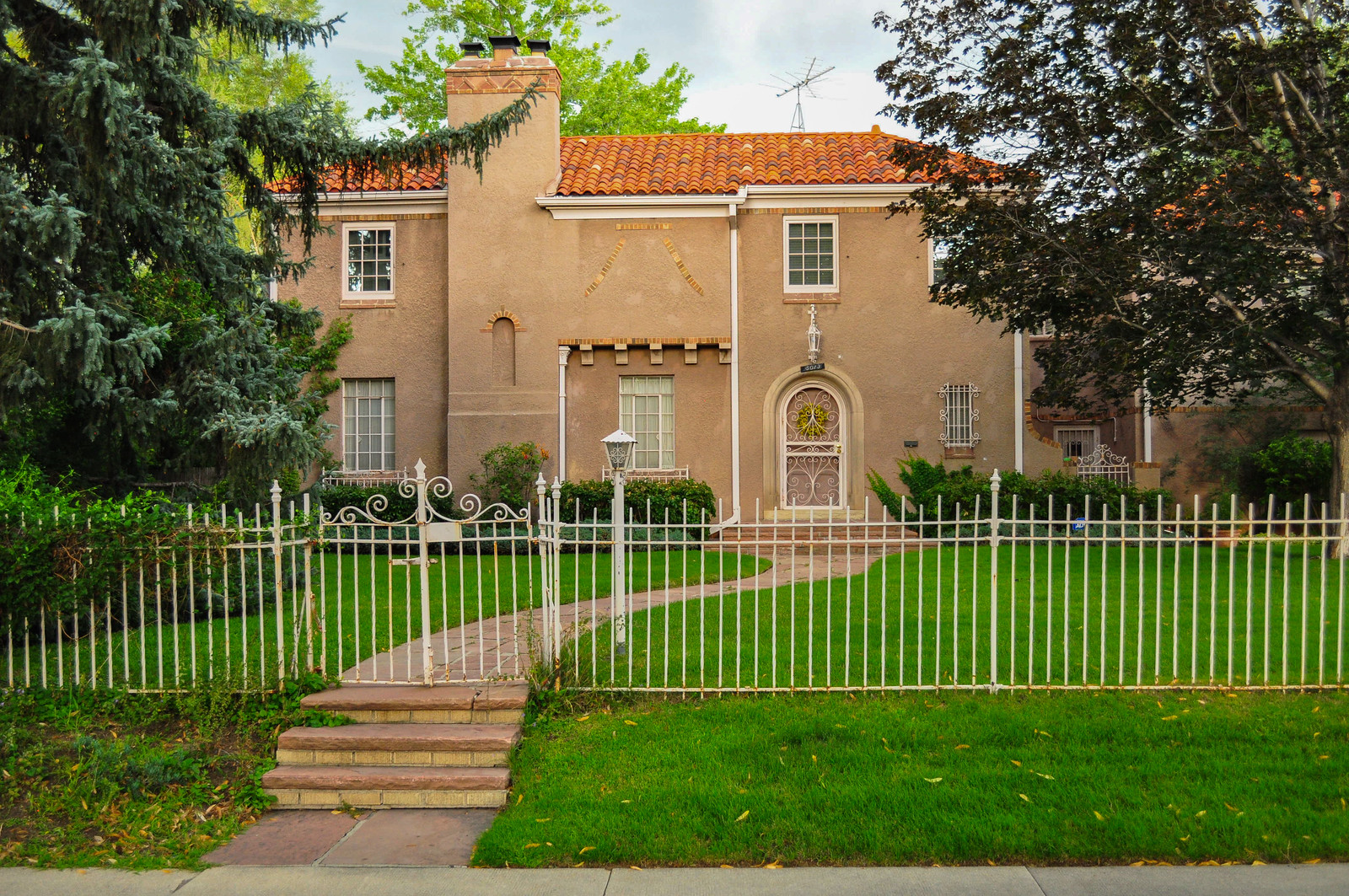
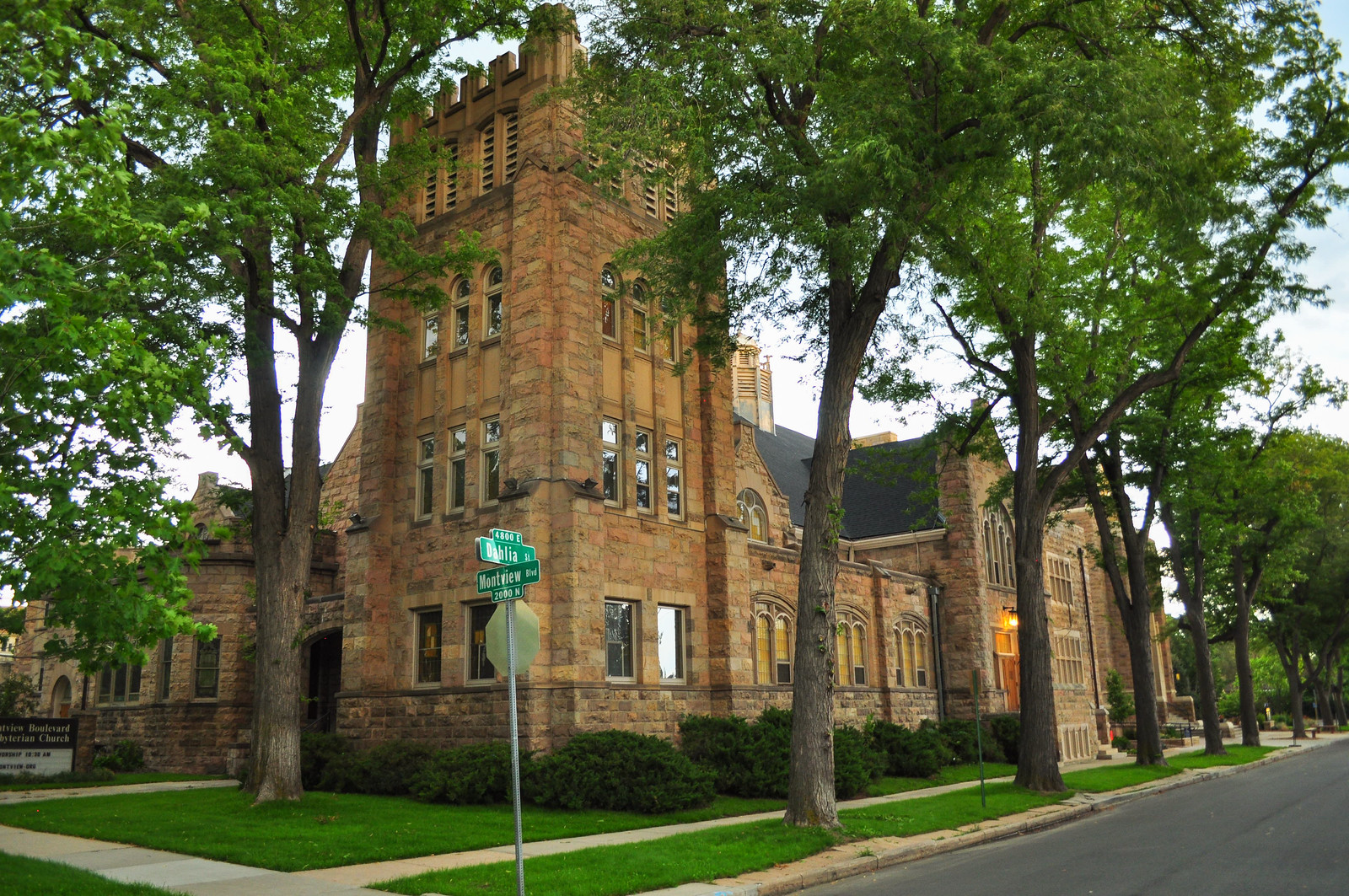
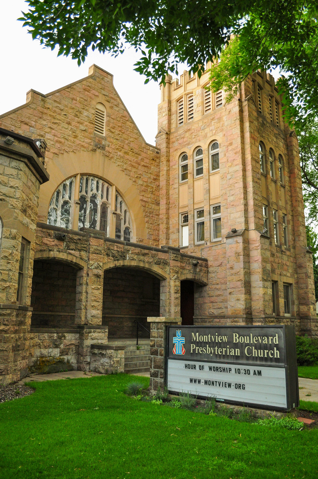
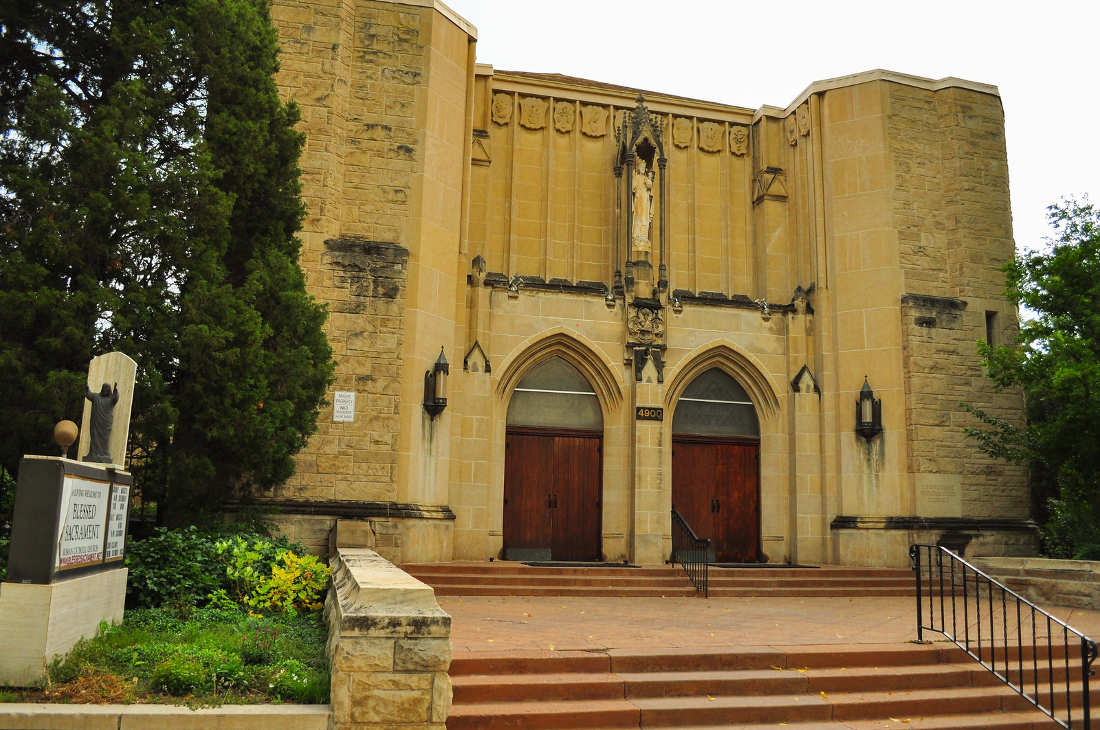
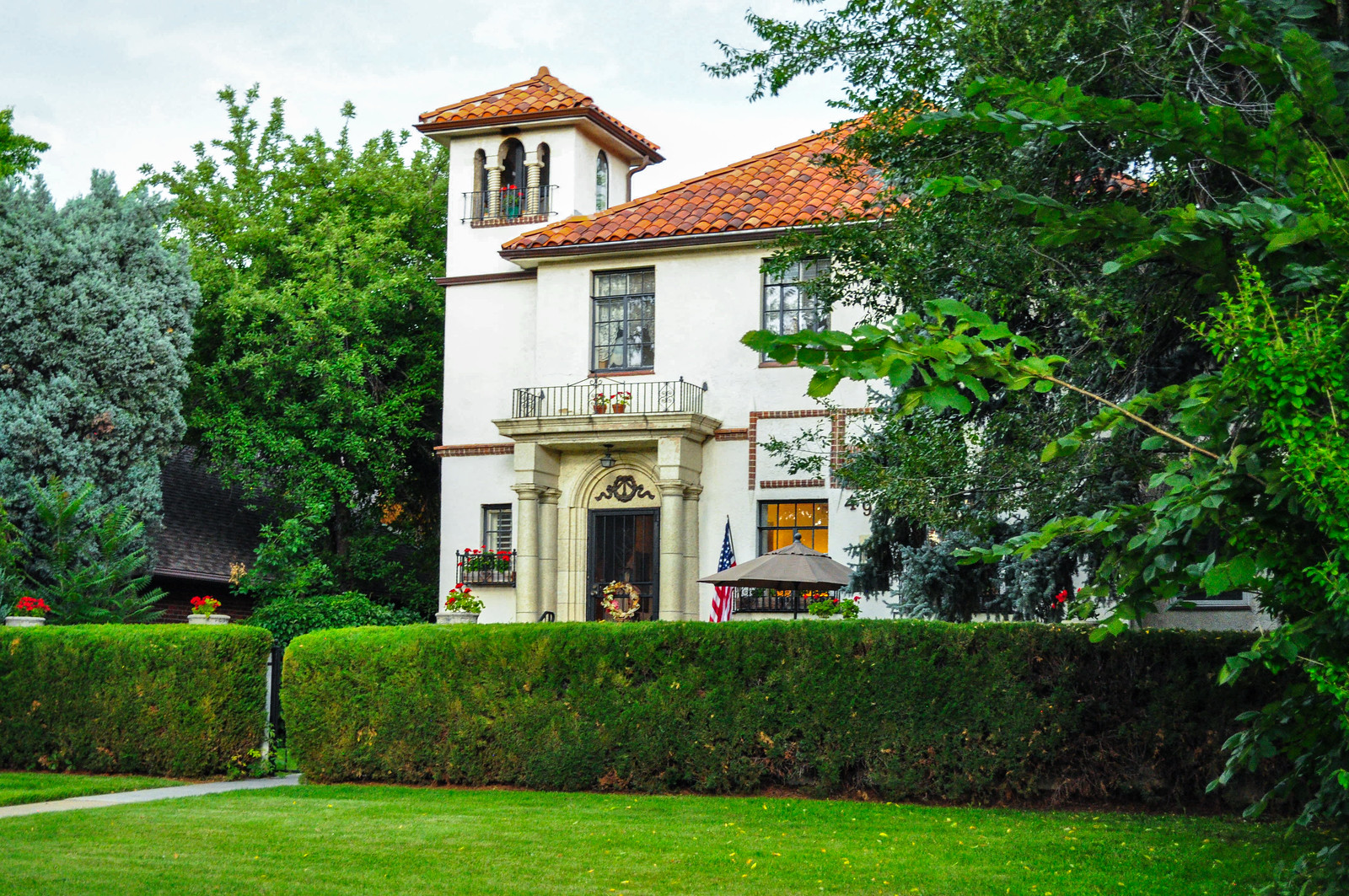 Montview Boulevard Presbyterian Church – 1910. Architect William N Bowman. Dr. Martin Luther King, Jr made several appearances here beginning in 1964.
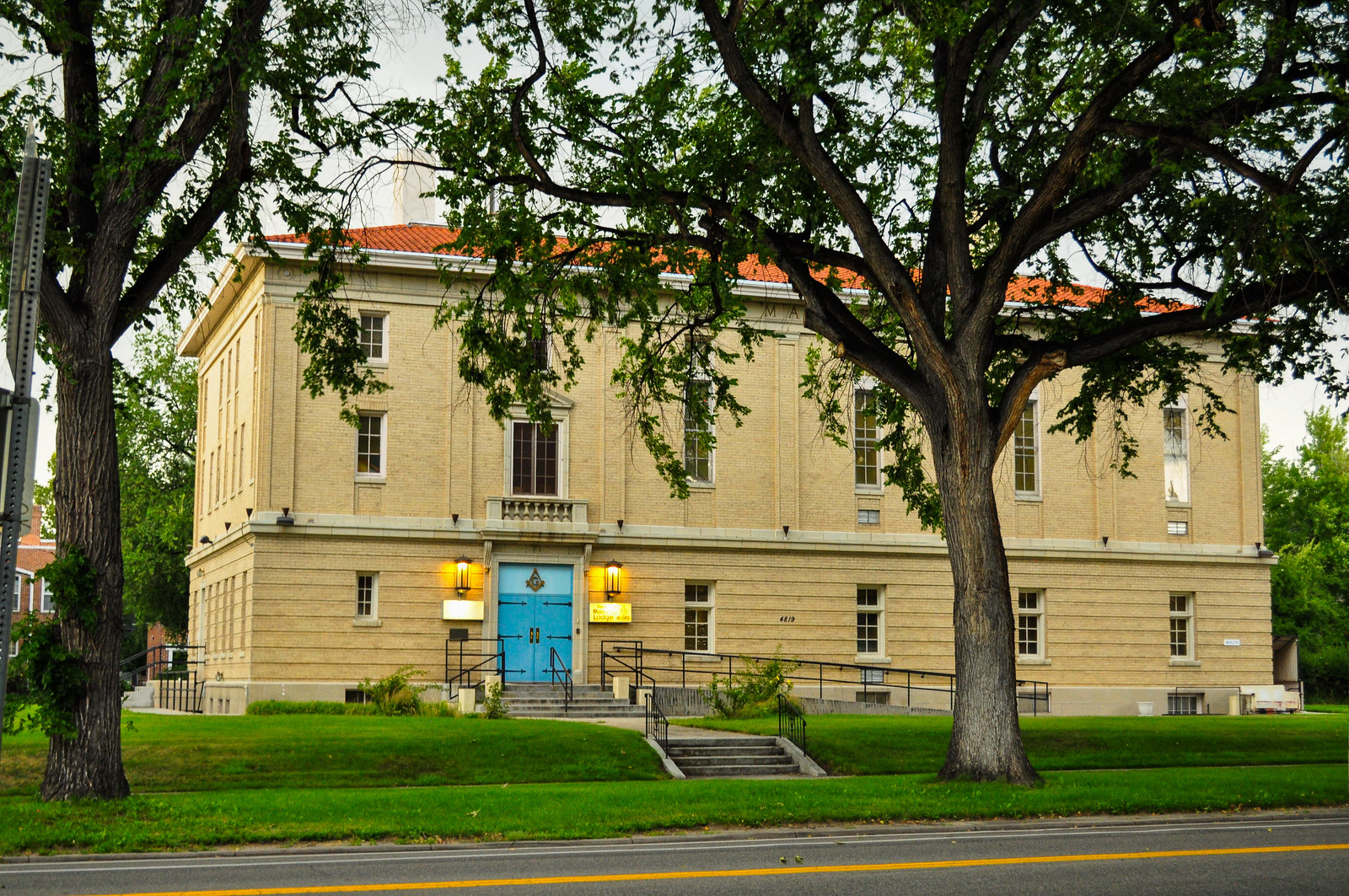
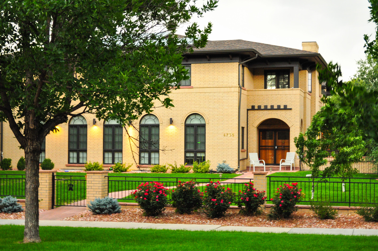 Park Hill Masonic Lodge – 1924
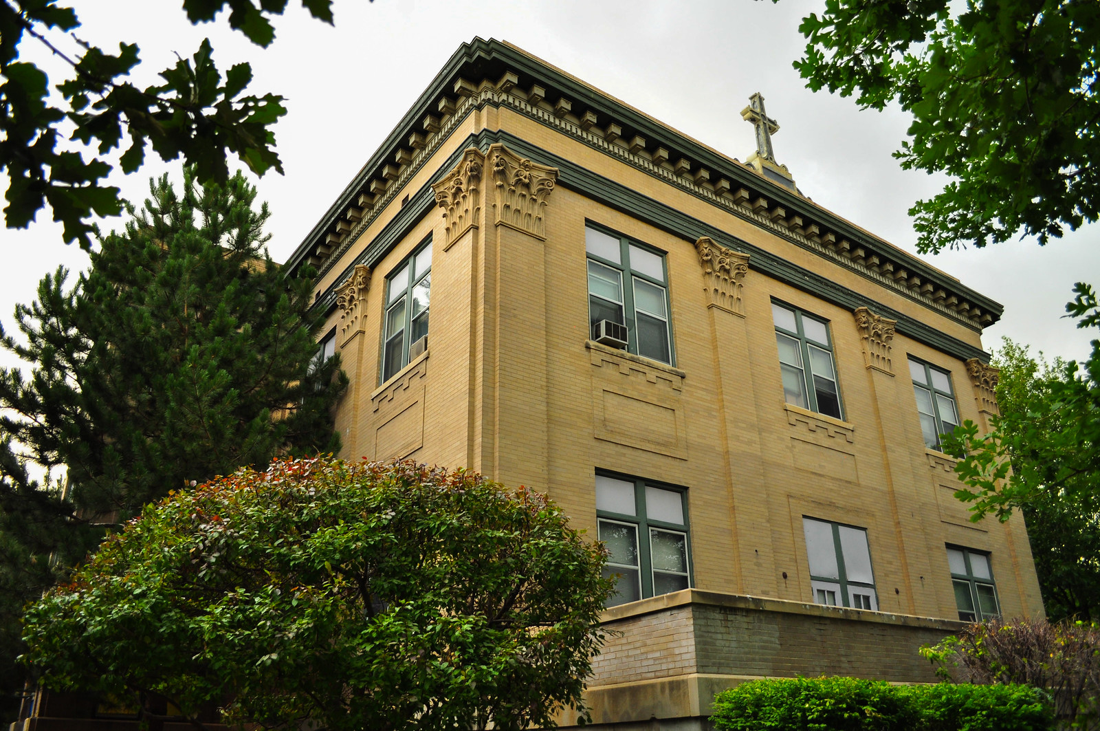
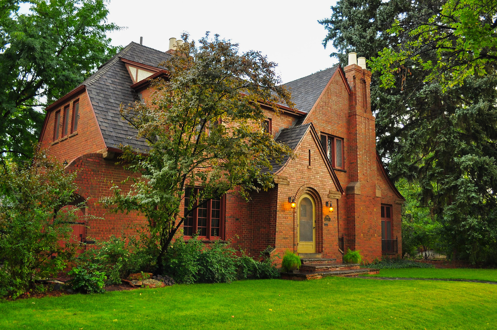
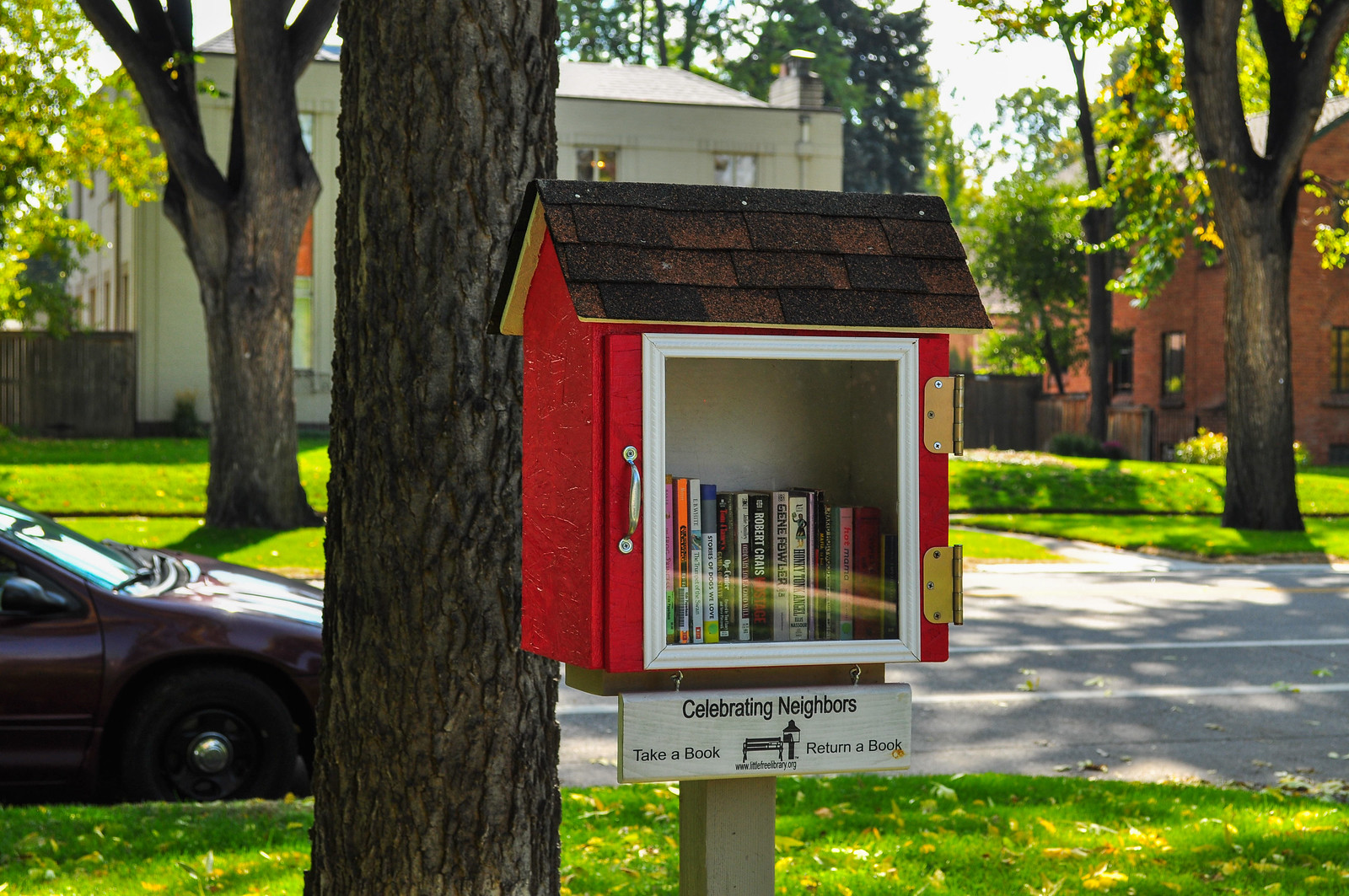
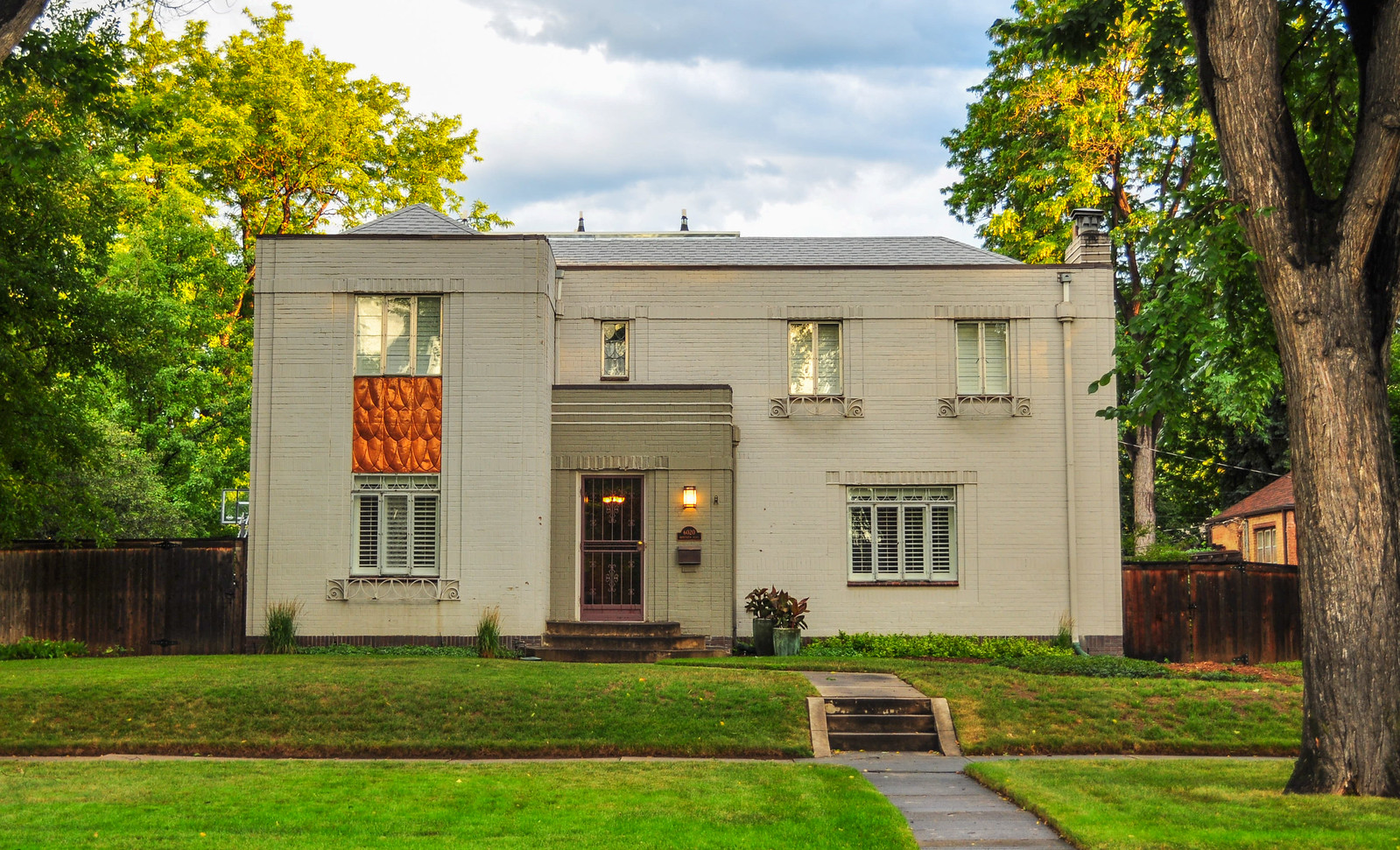 Neighborhood library
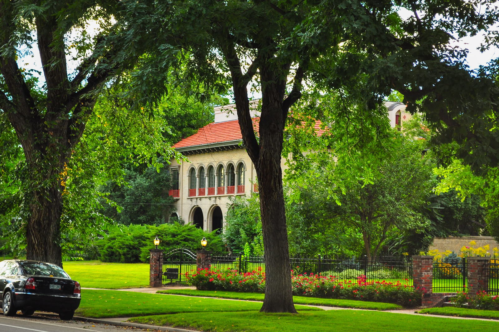
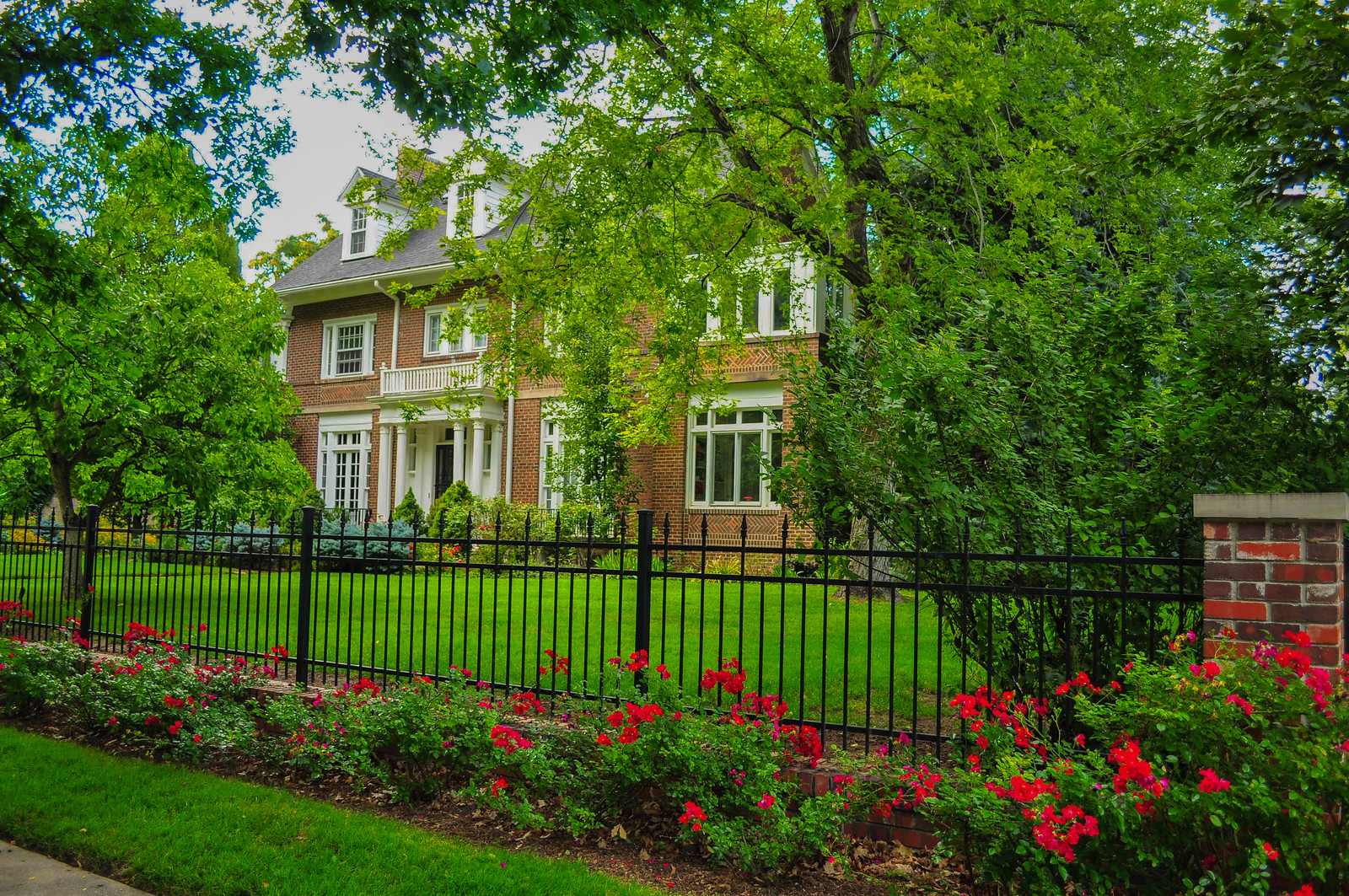 Italian Renaissance - 1910
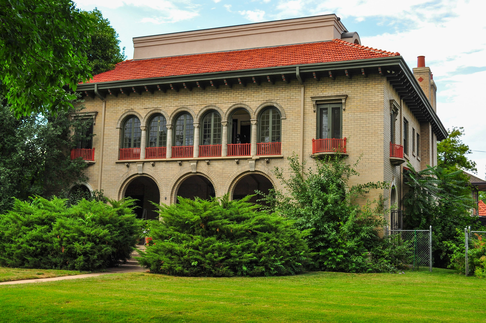
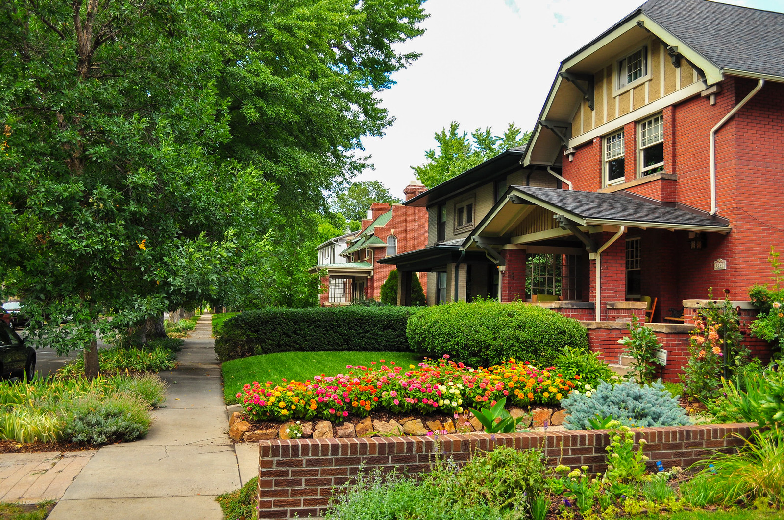
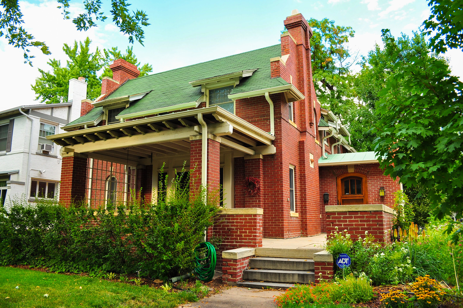
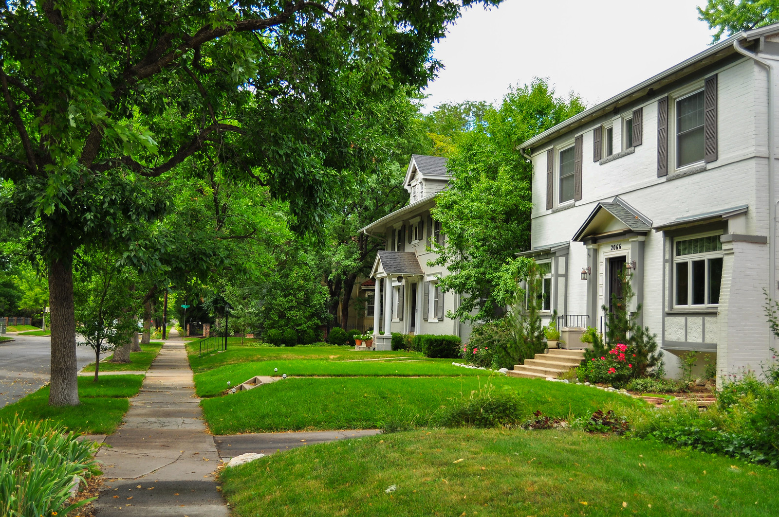
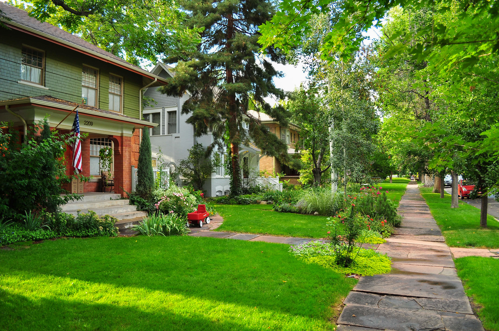
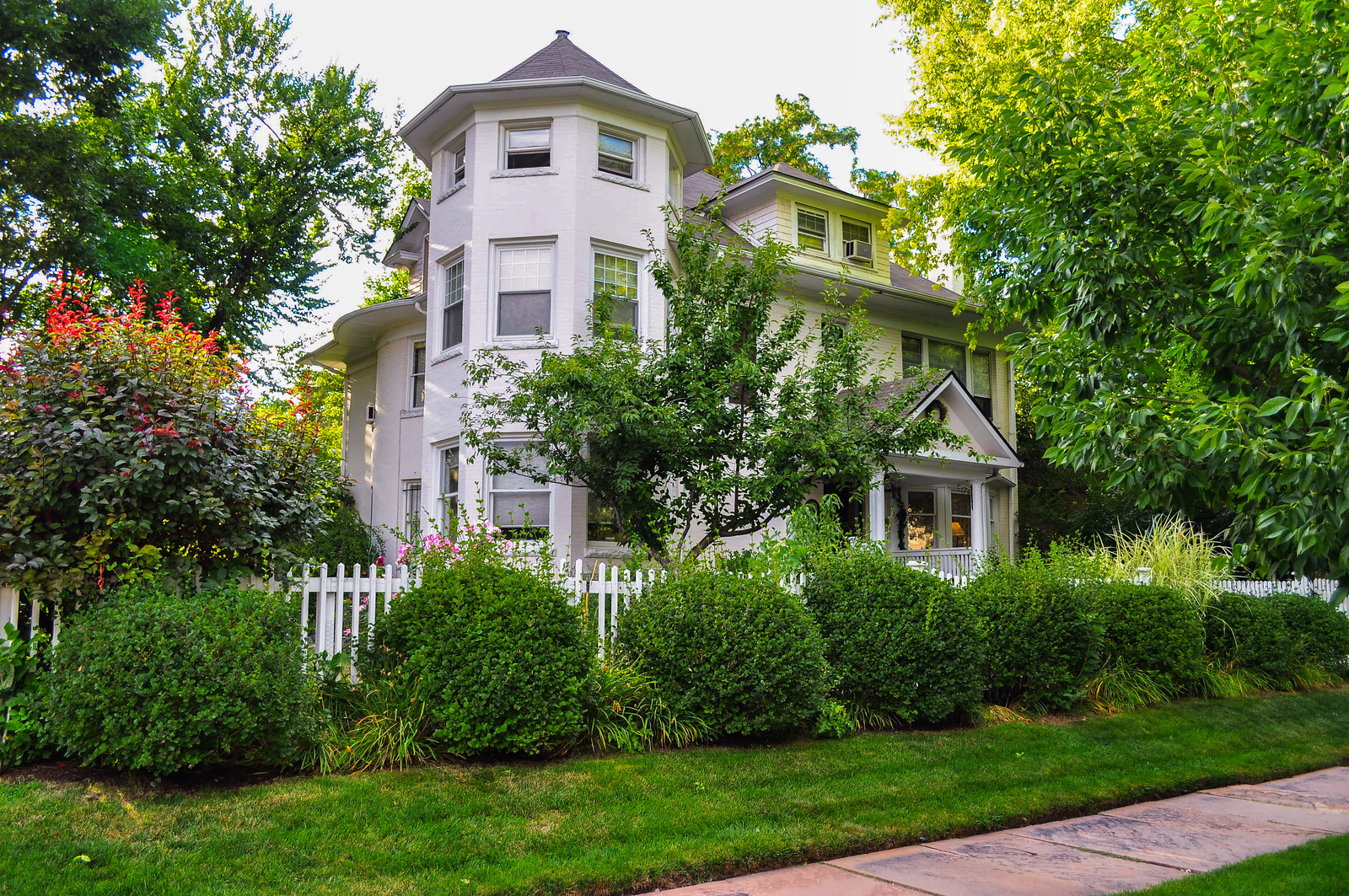
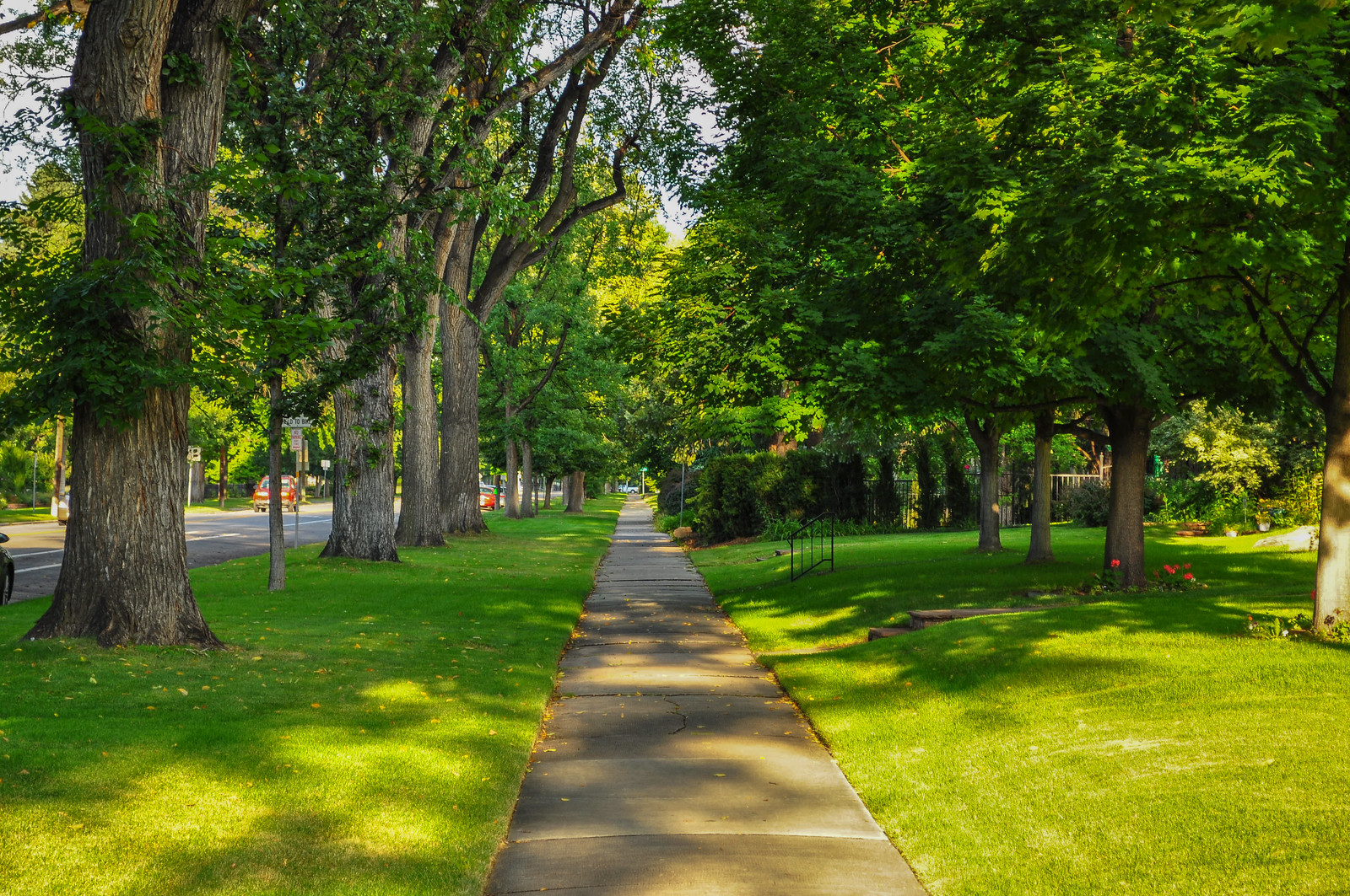
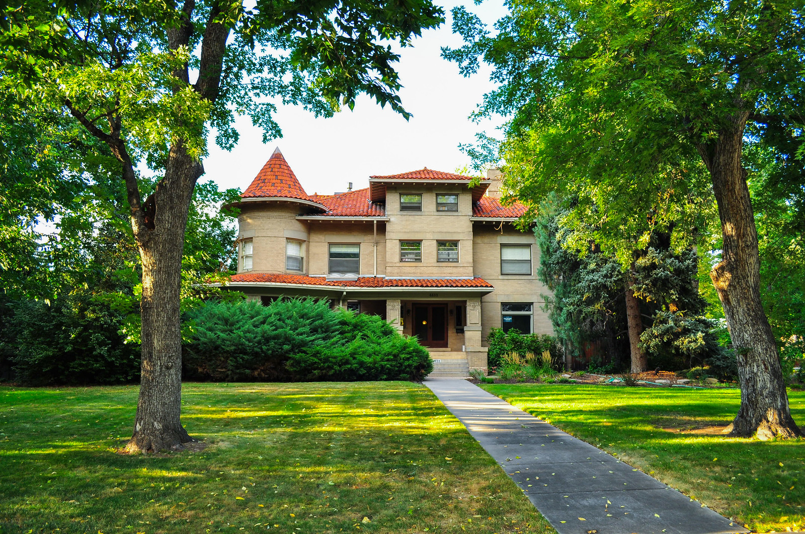
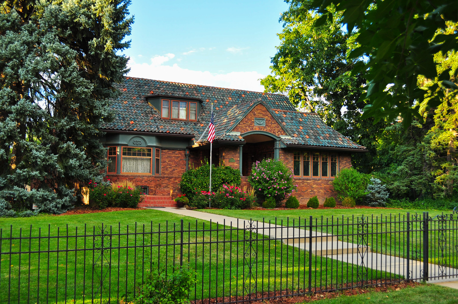

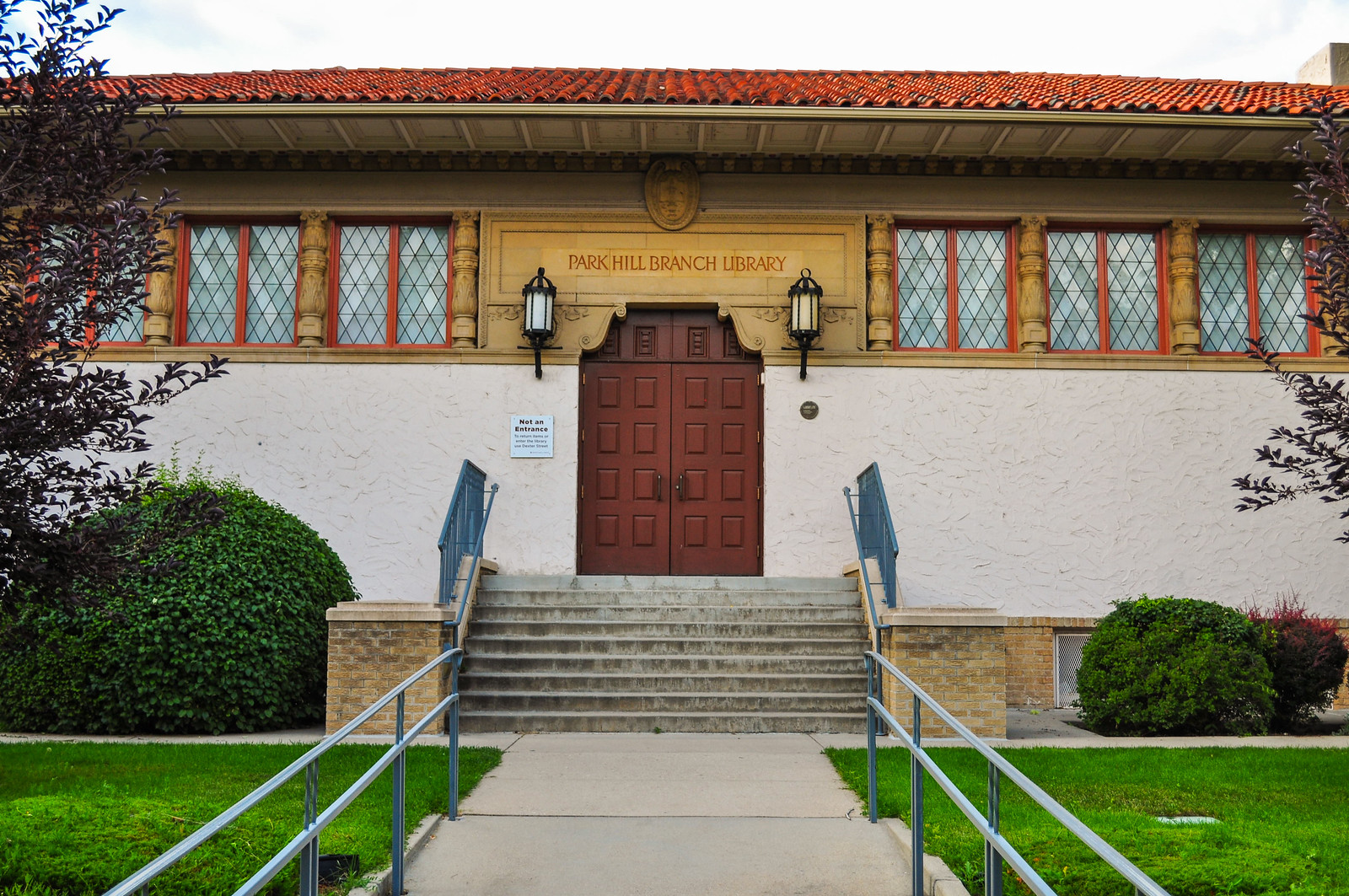
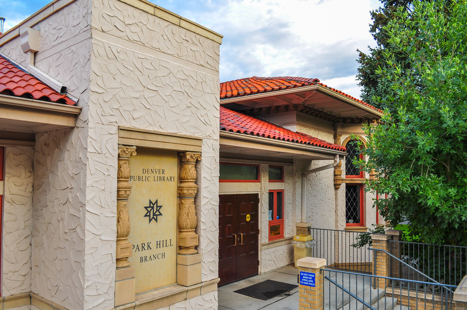
 Park Hill Branch Library – Spanish Renaissance -1920. Architect Burnham Hoyt. Over the fireplace of this branch, Robert Garrison sculpted the stone plaque honoring Coleridge’s “Rhyme of the Ancient Mariner”.

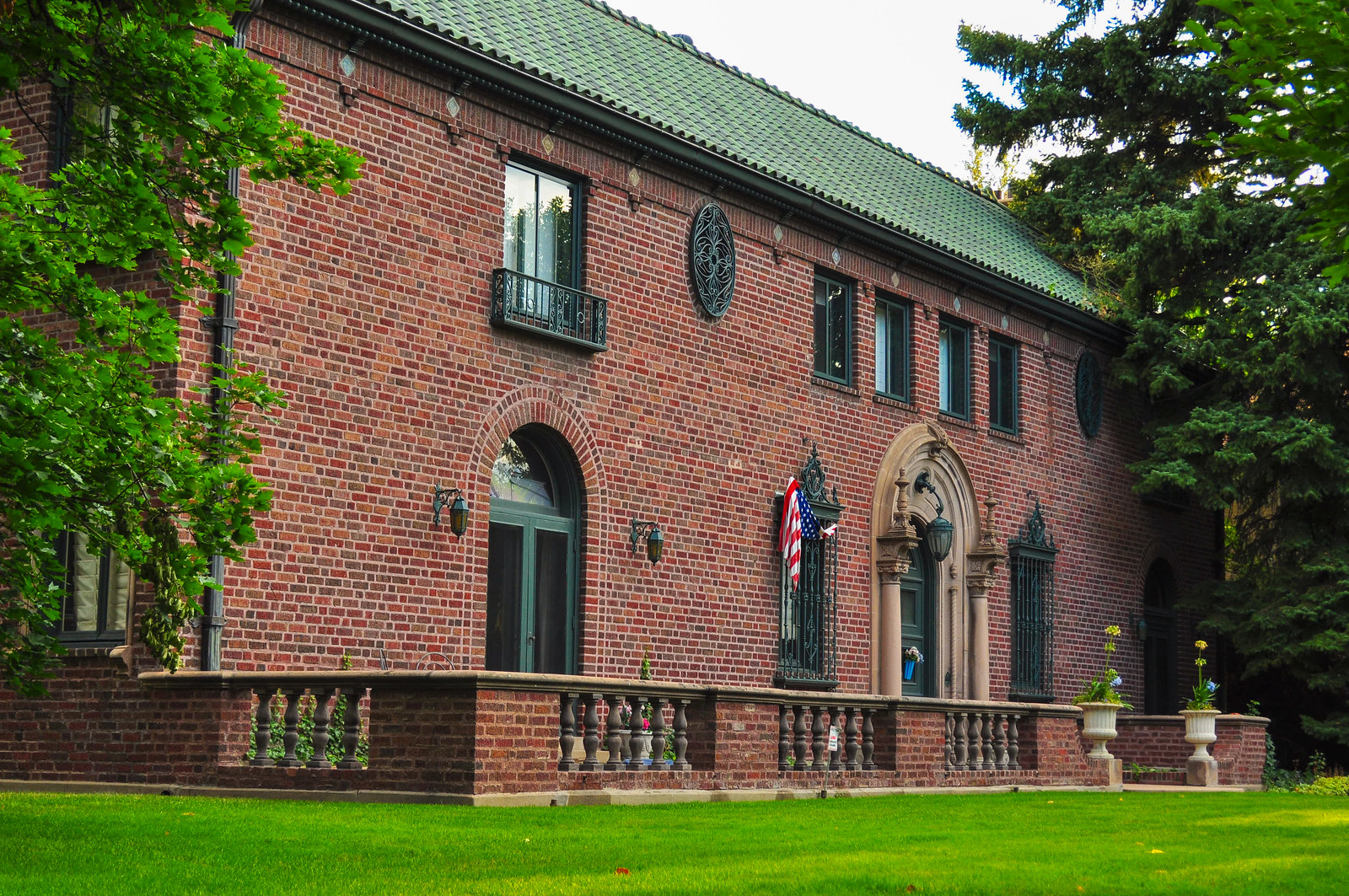
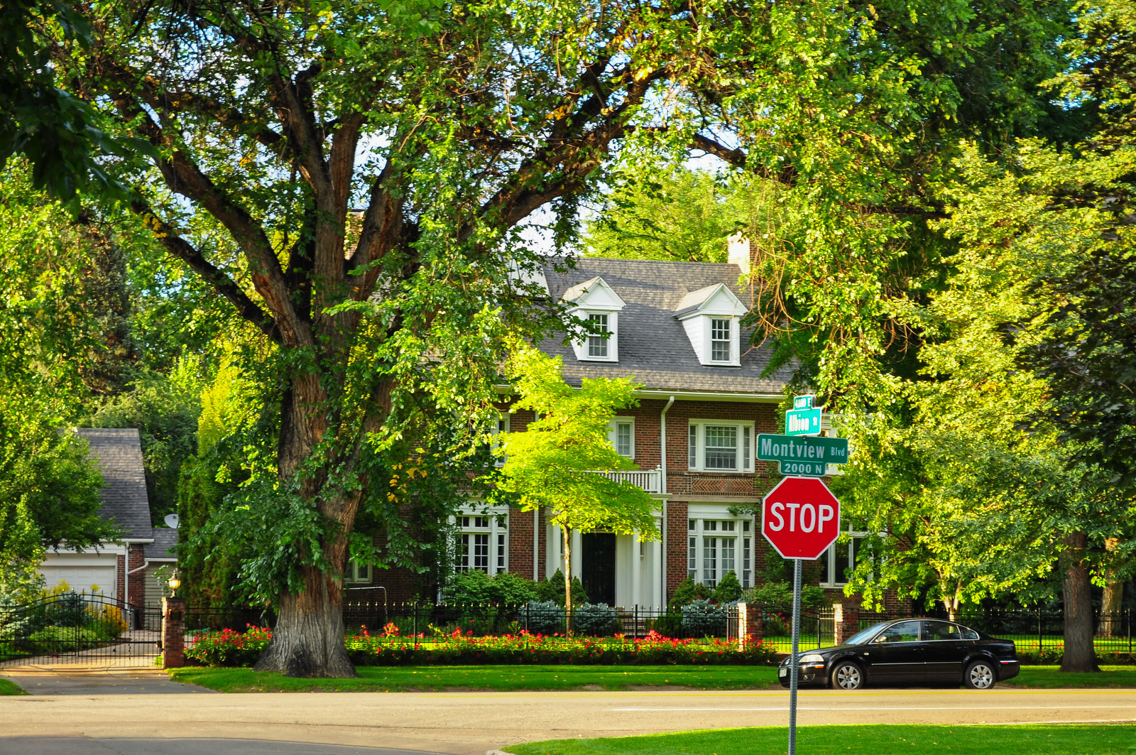
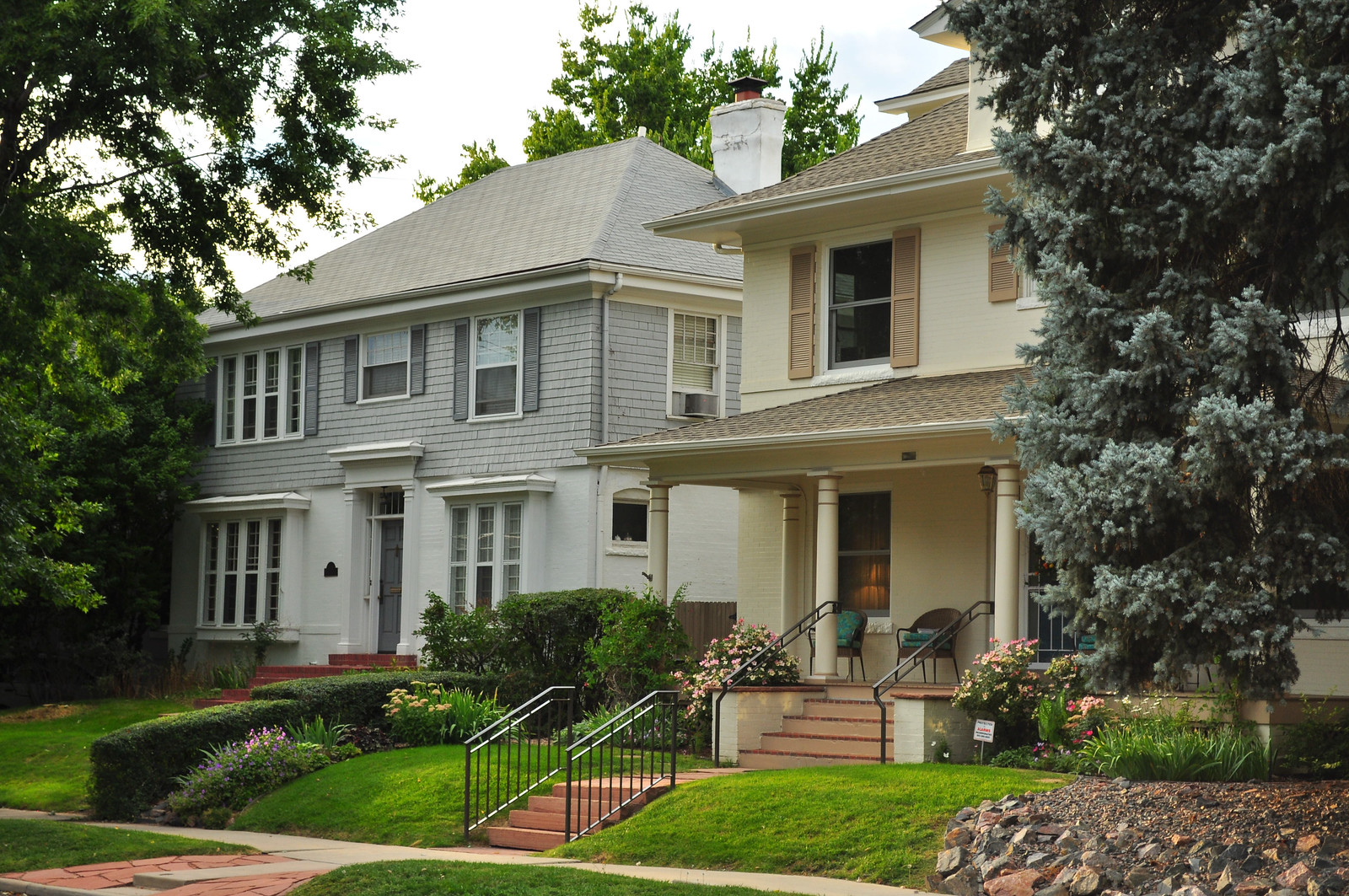
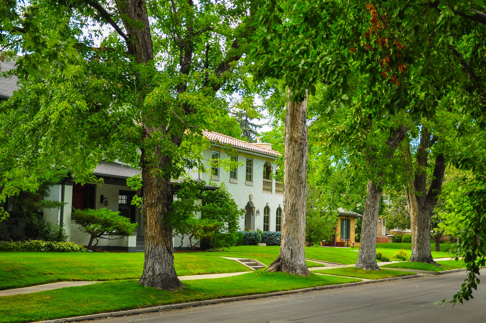
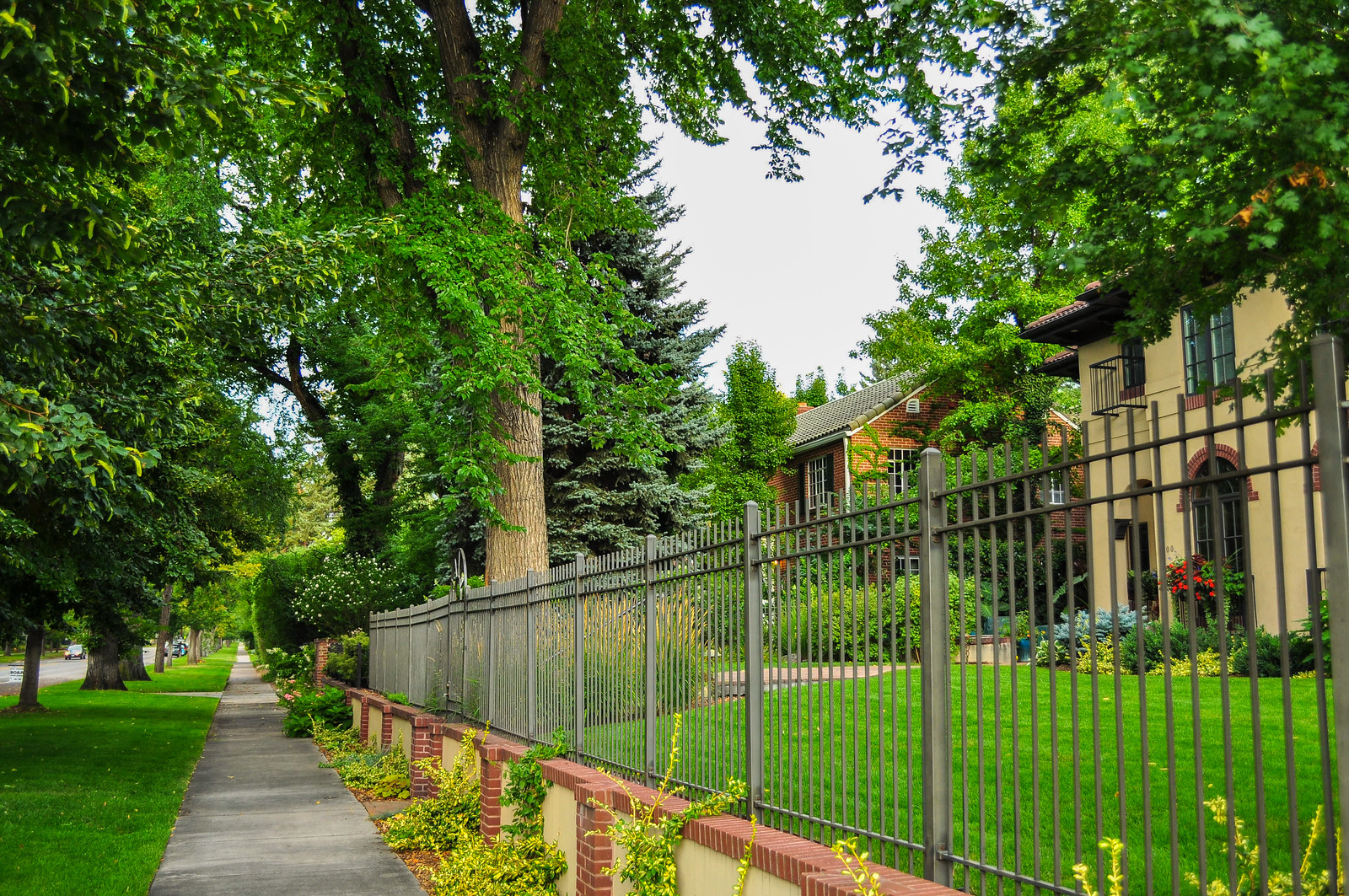
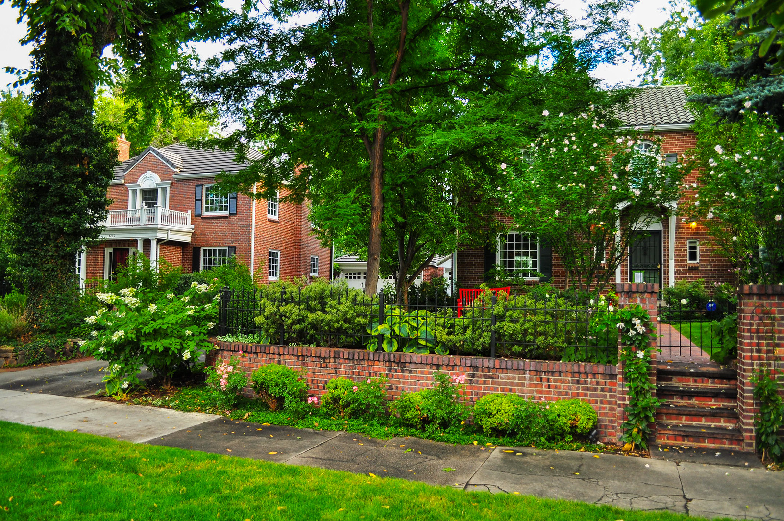
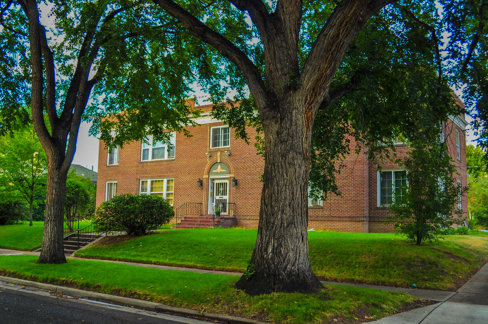
 Apartments near the library.
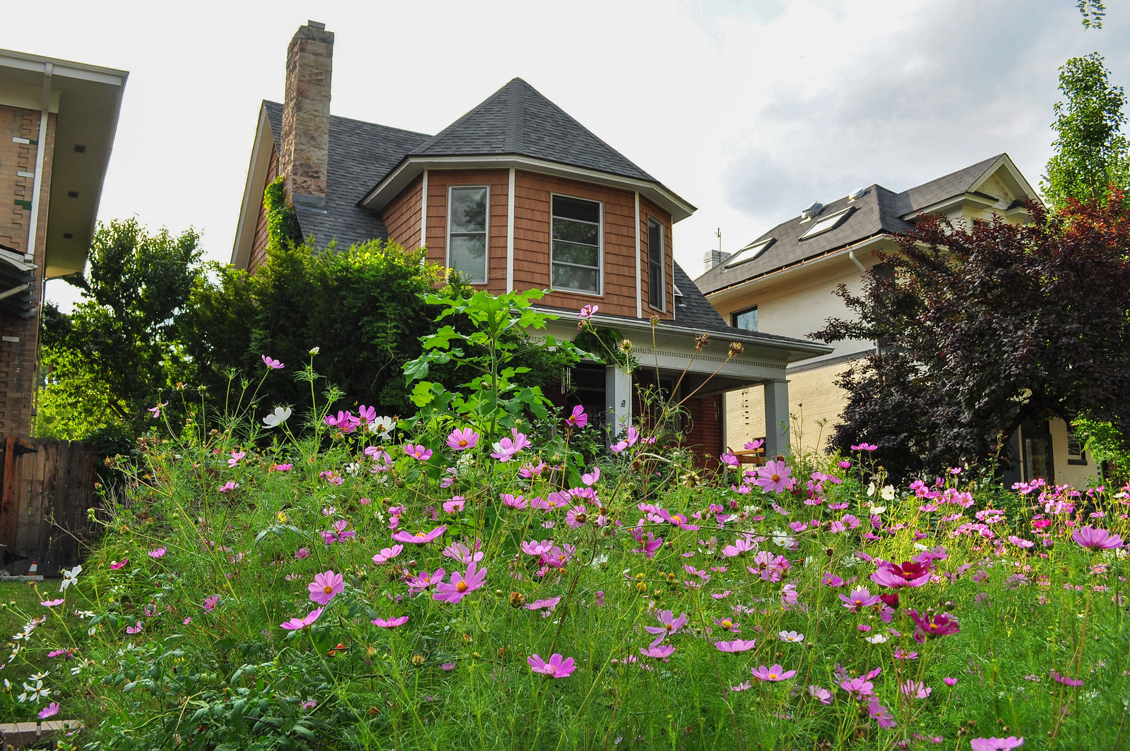
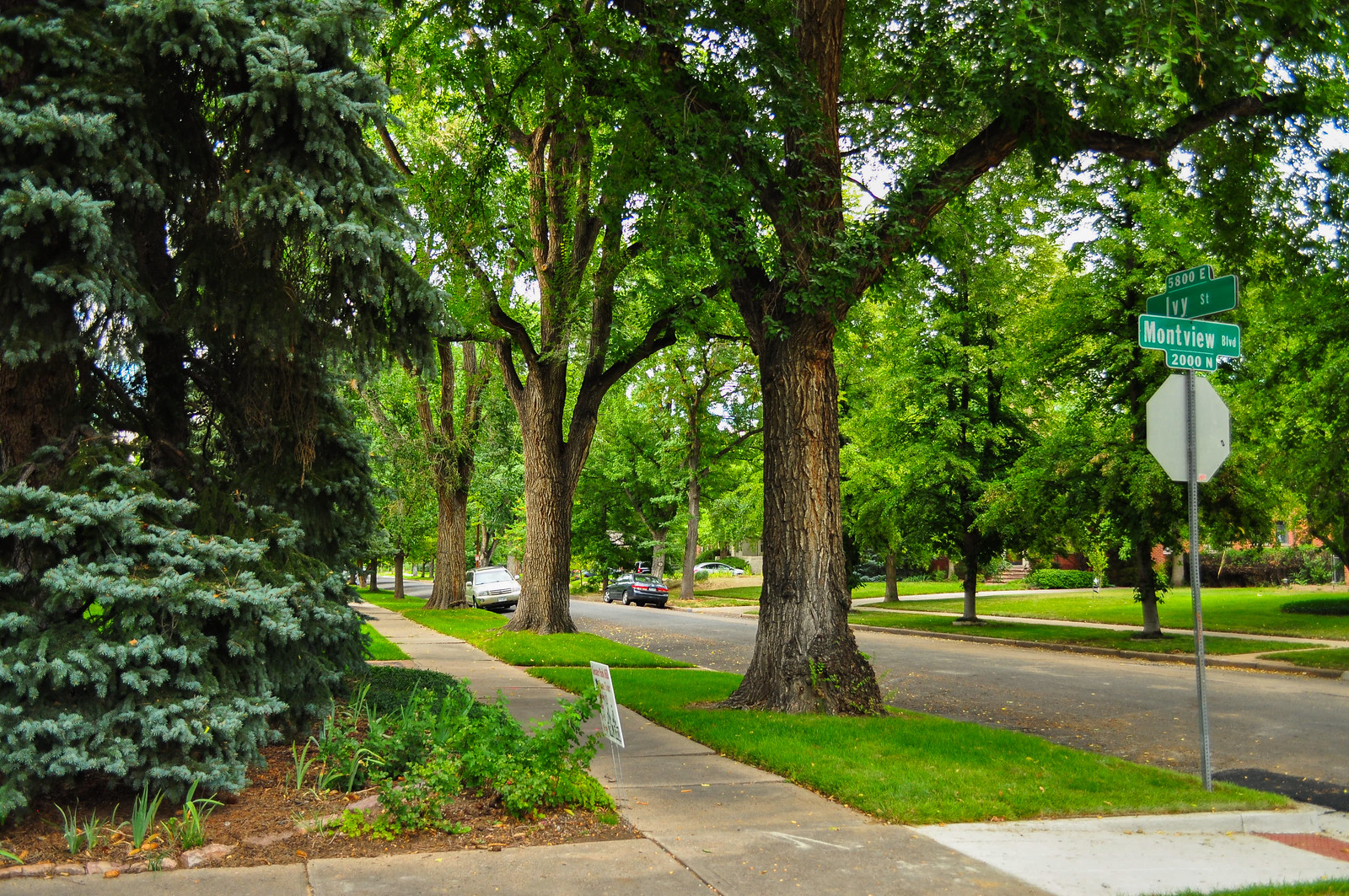 Heading up to 23rd Ave Parkway and surrounding area.
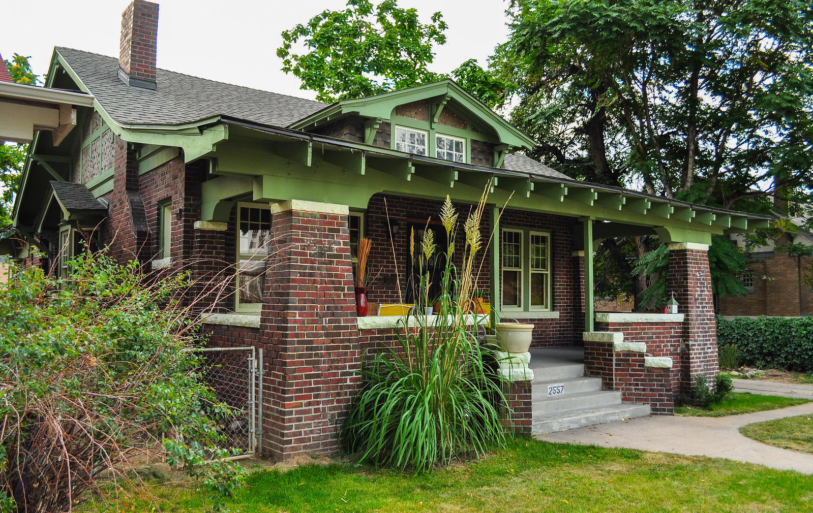
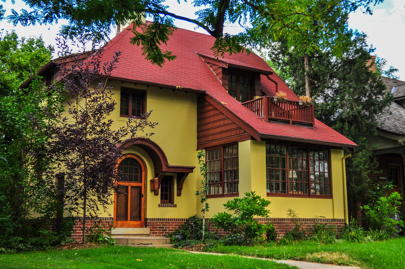
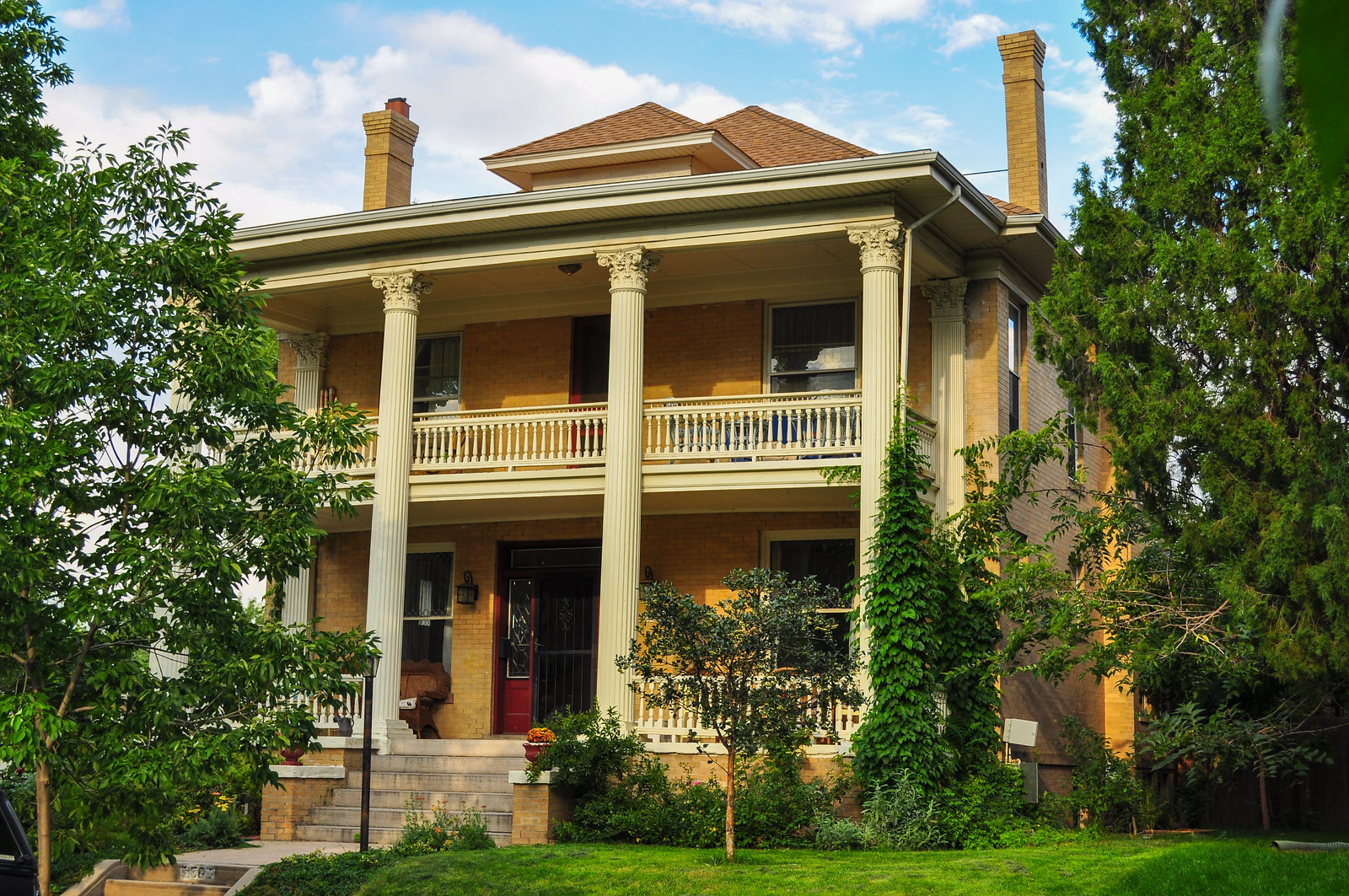
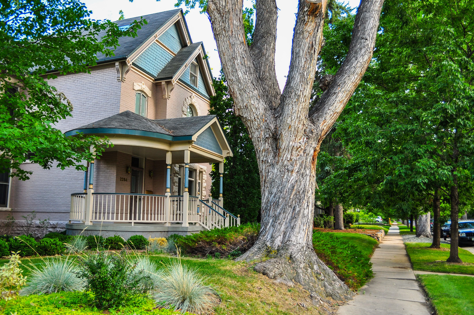
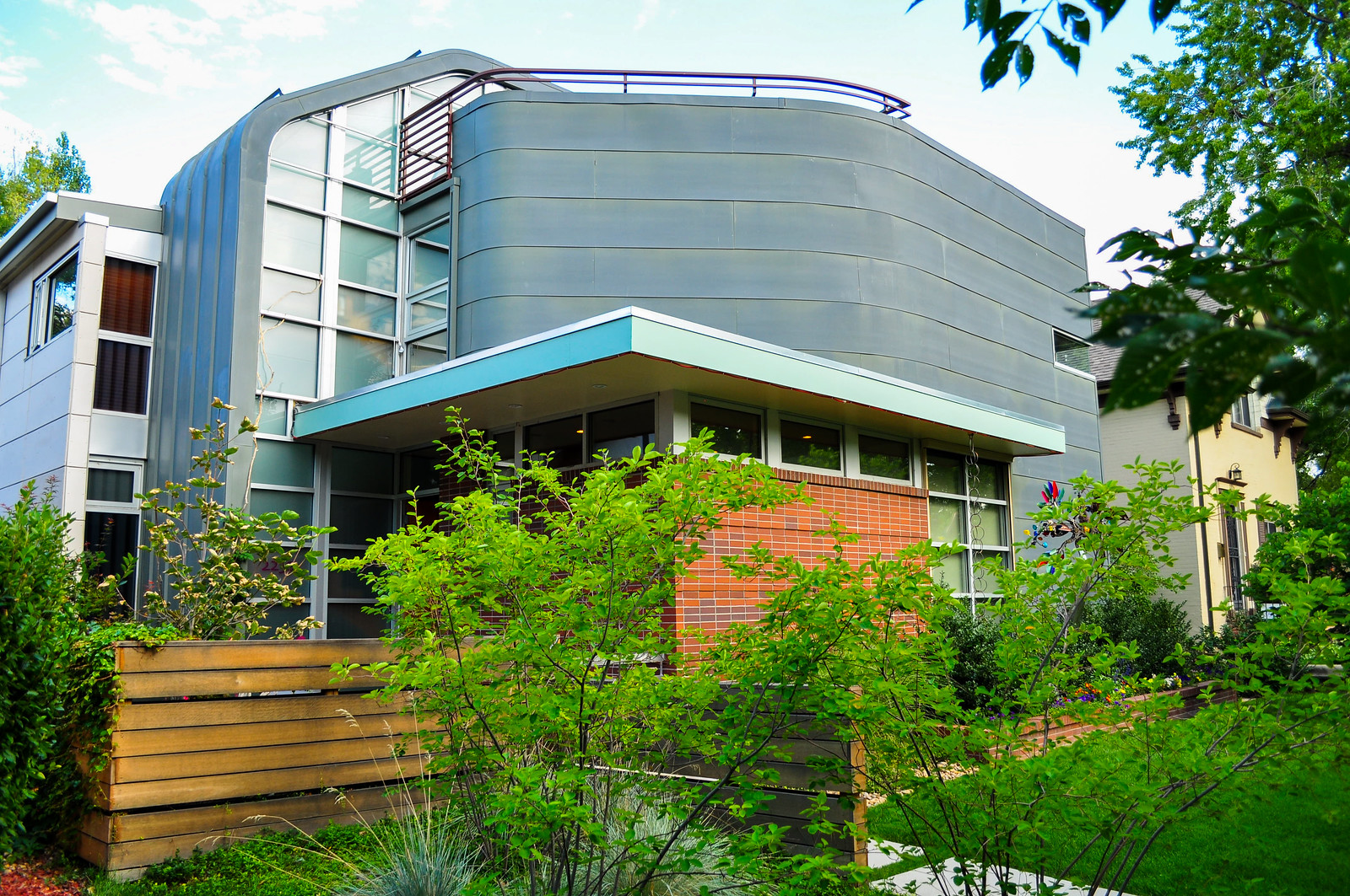
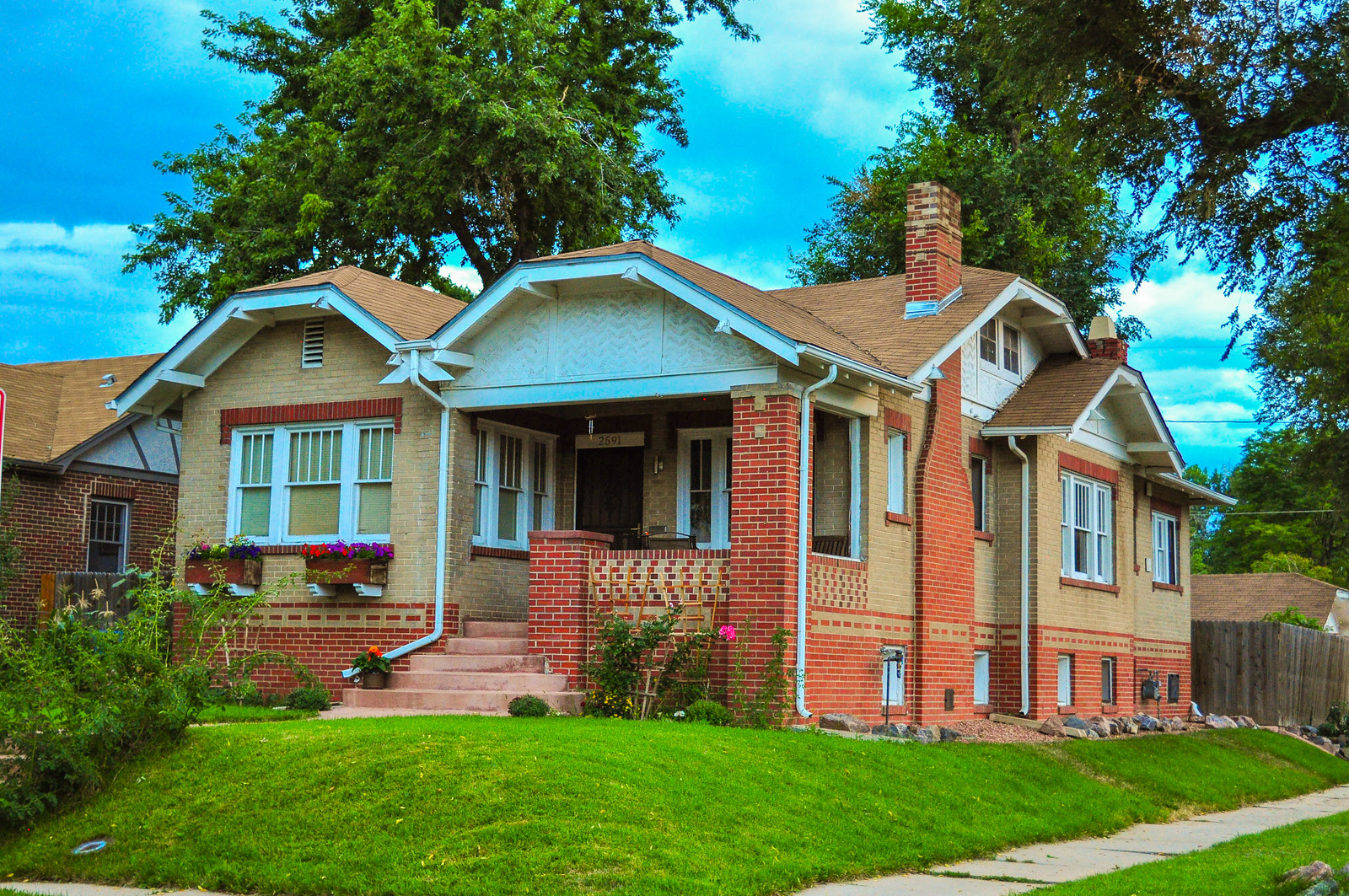
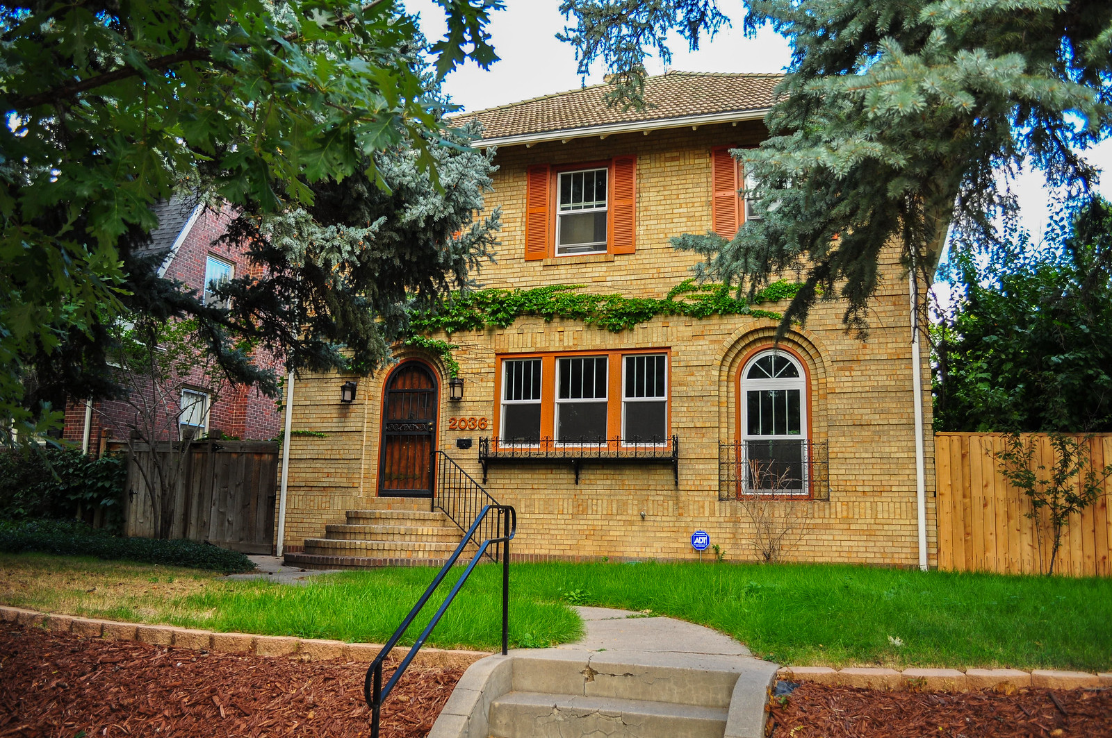
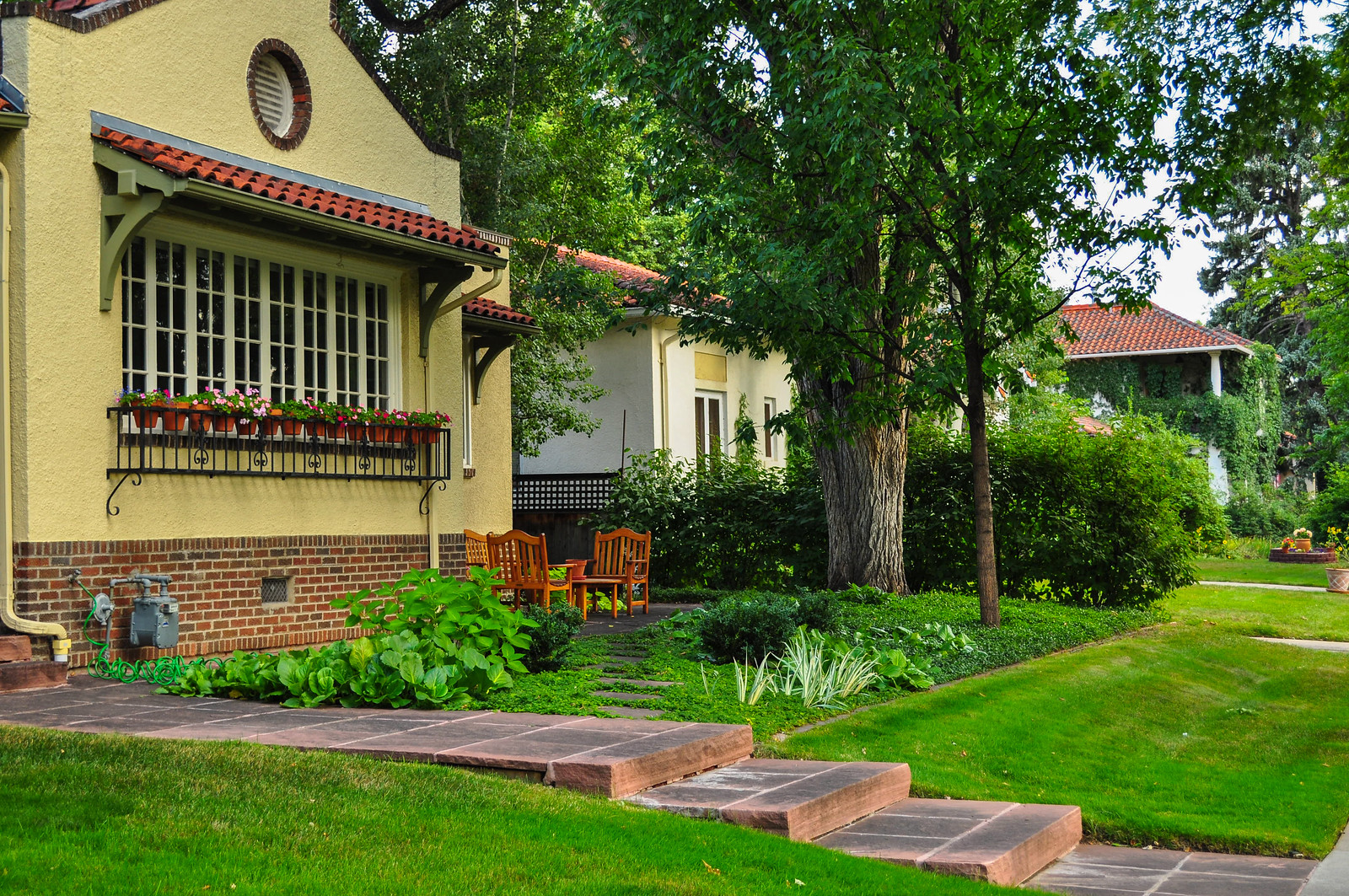
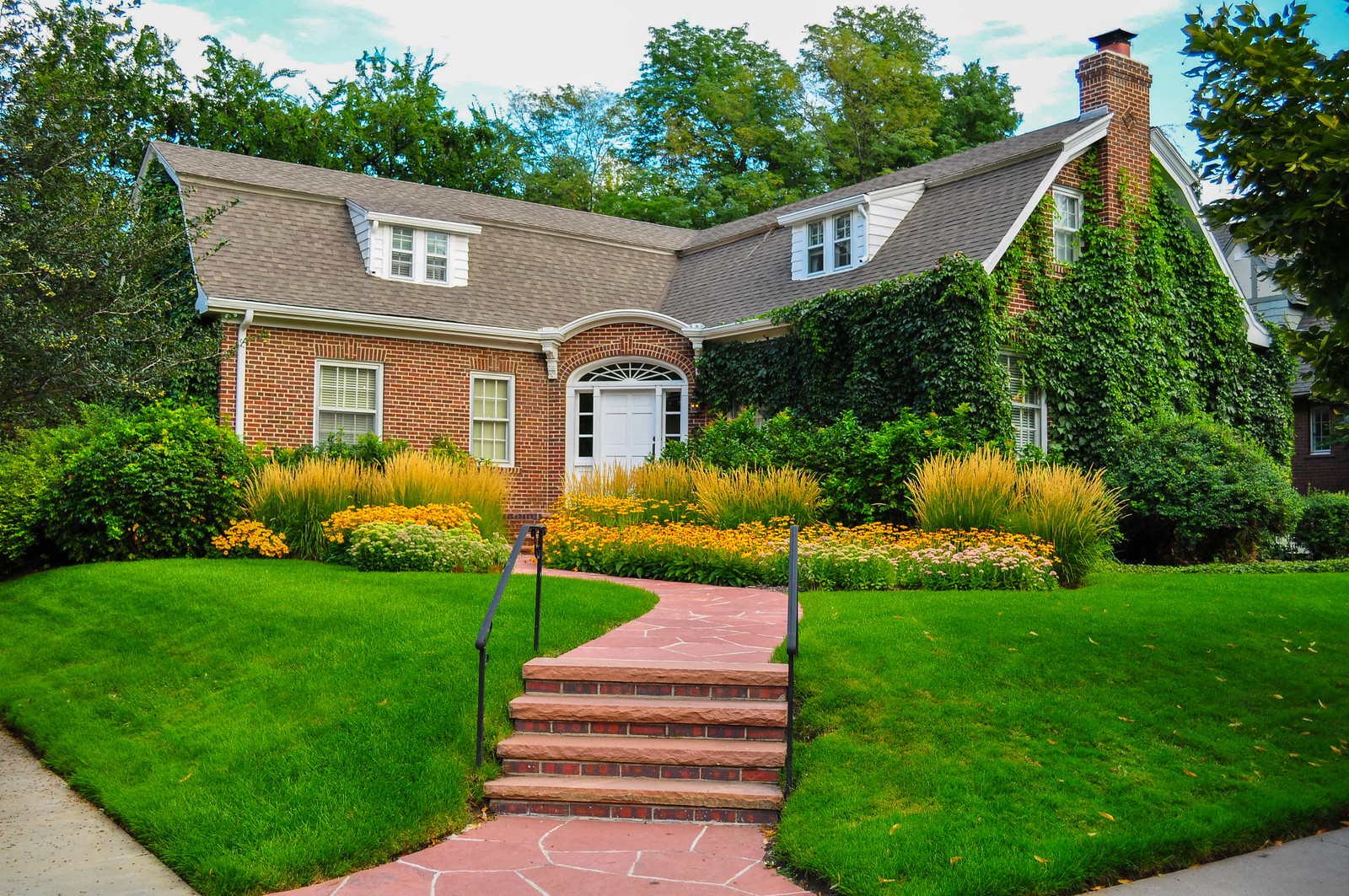
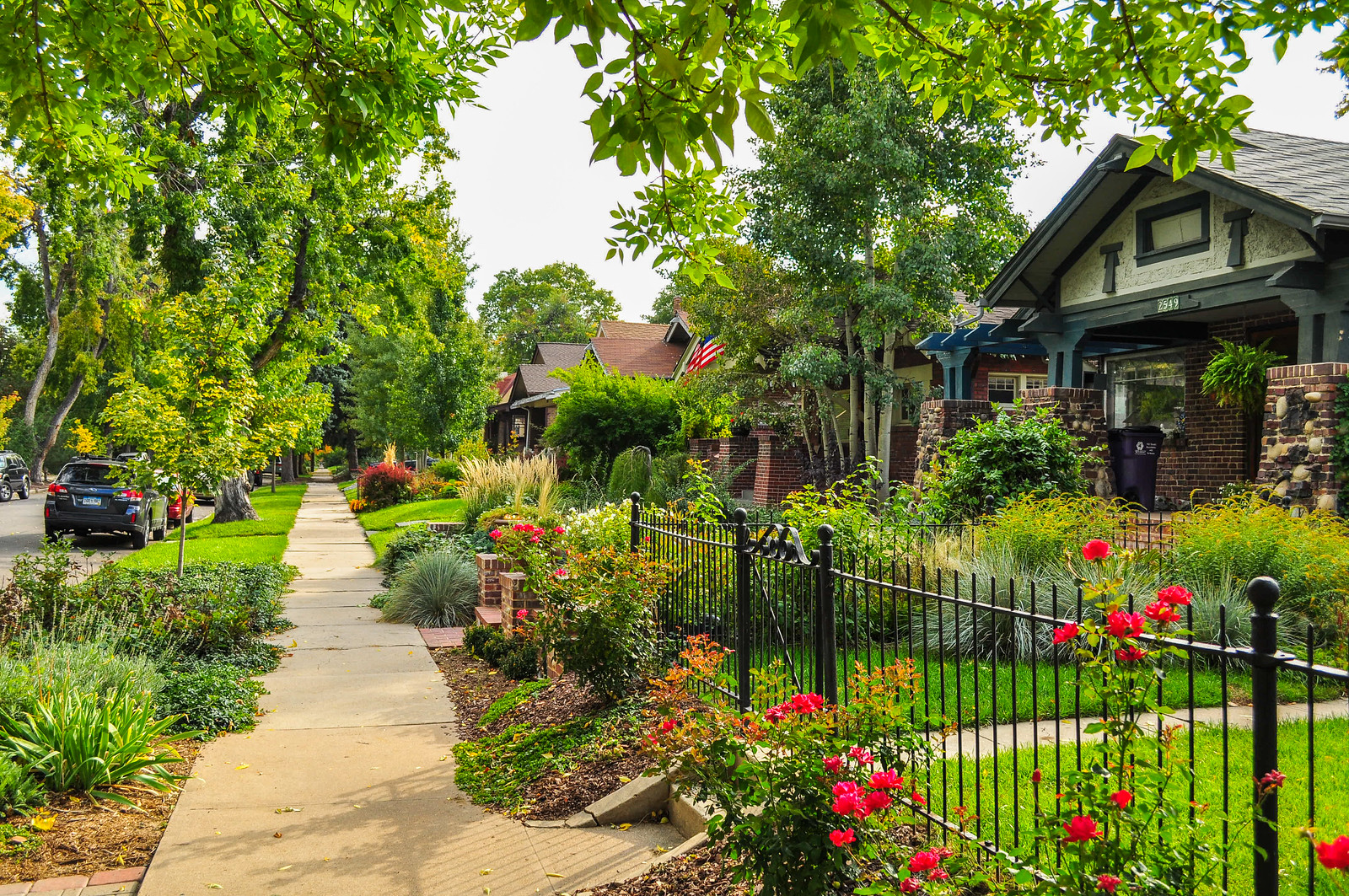
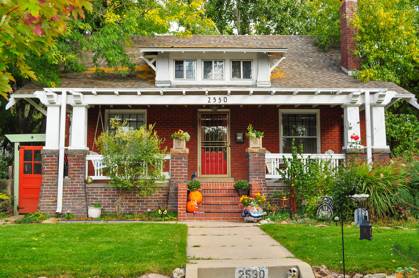
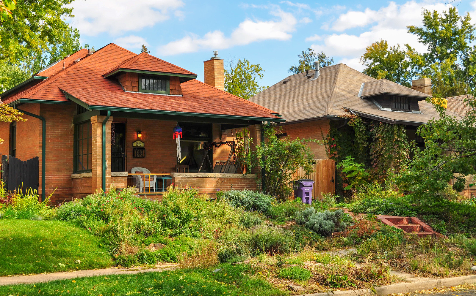
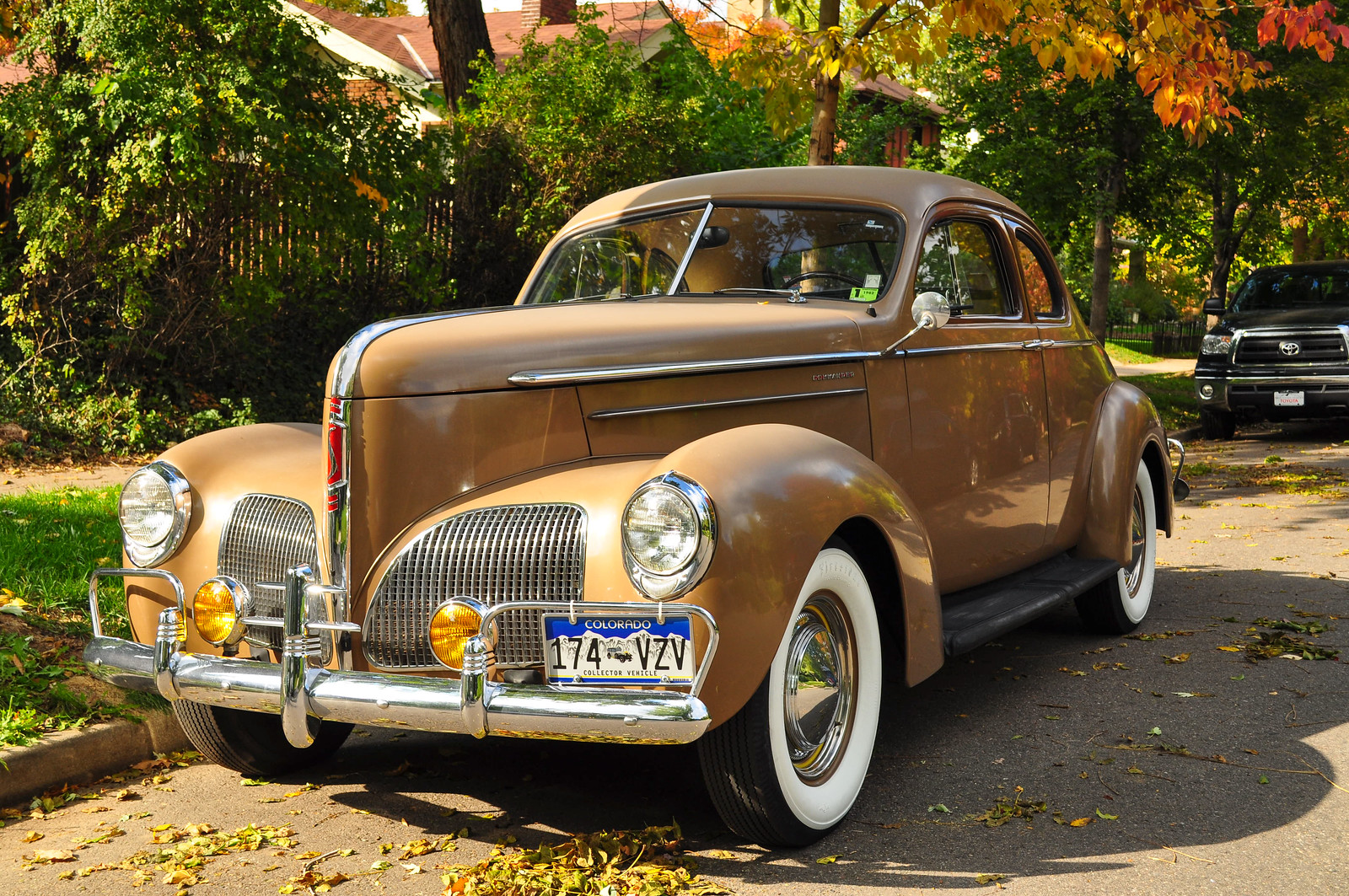
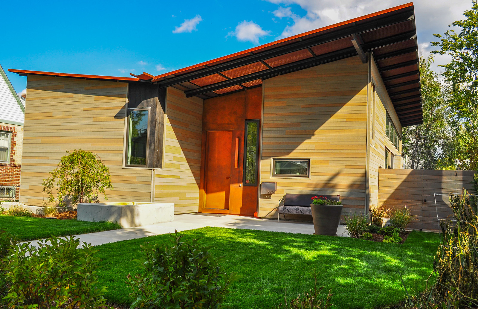
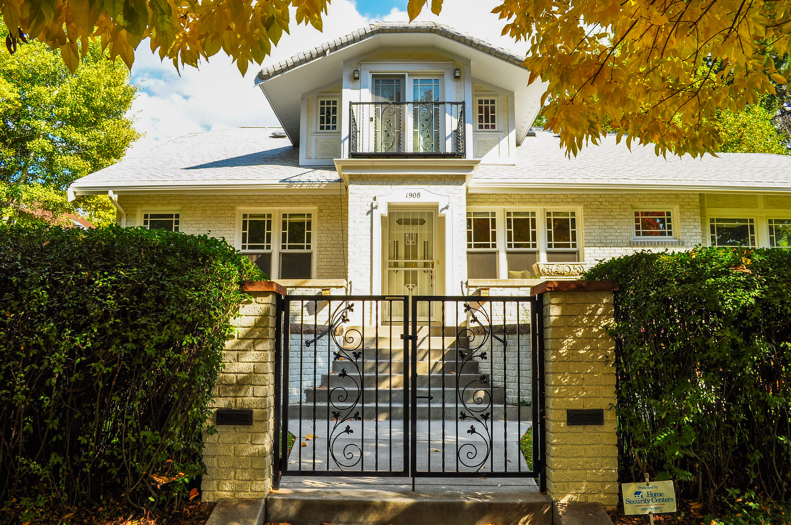
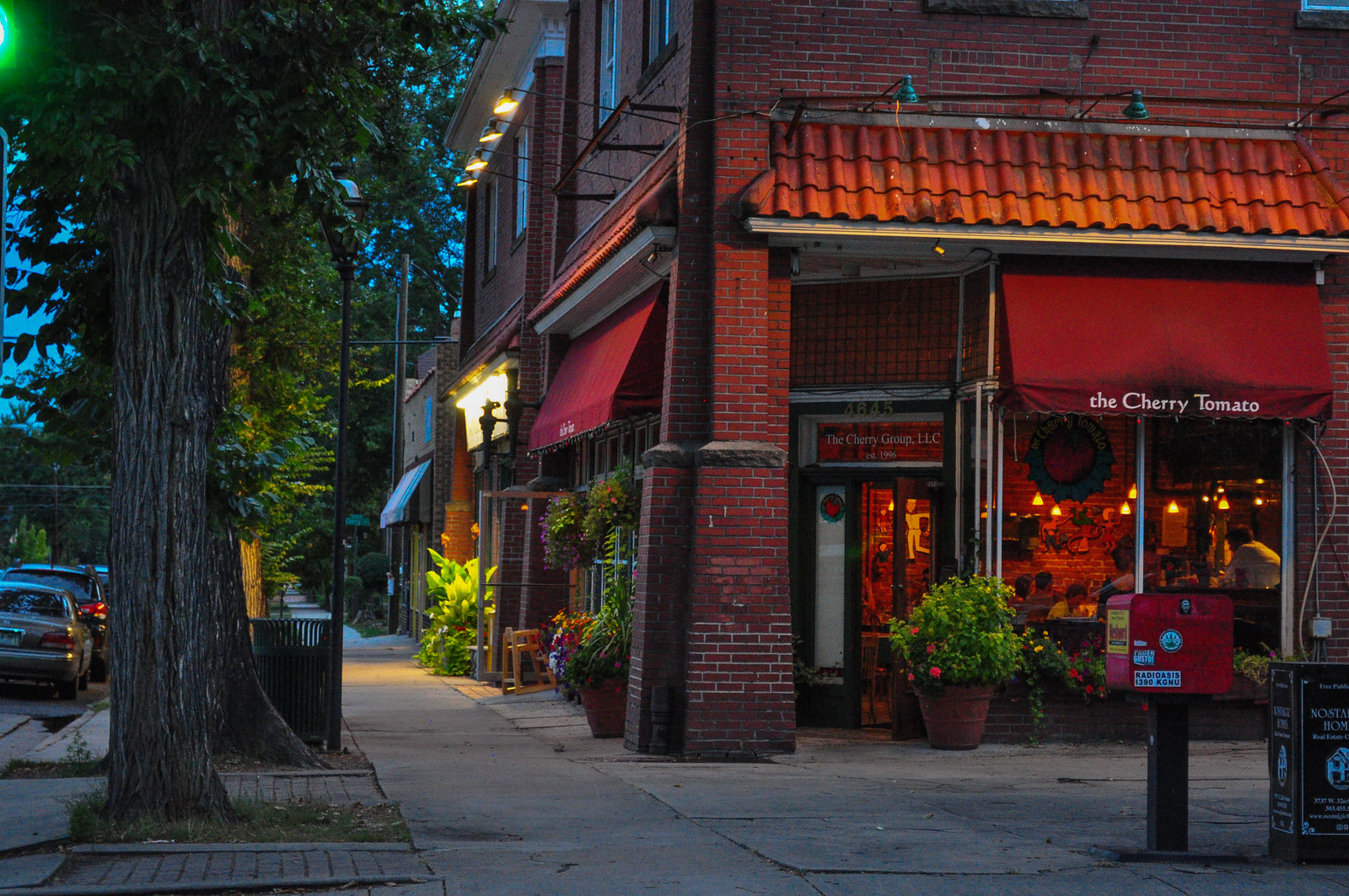
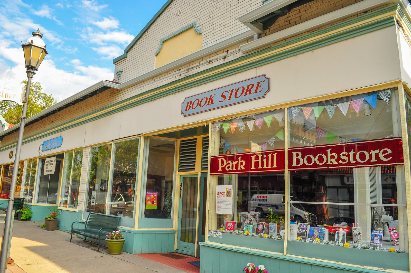
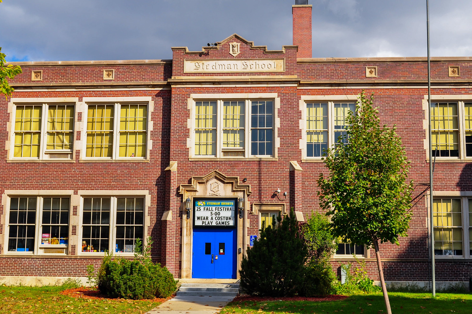 This is 23rd Avenue – The Cherry Tomato
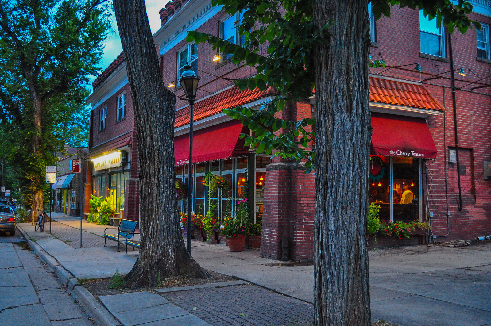
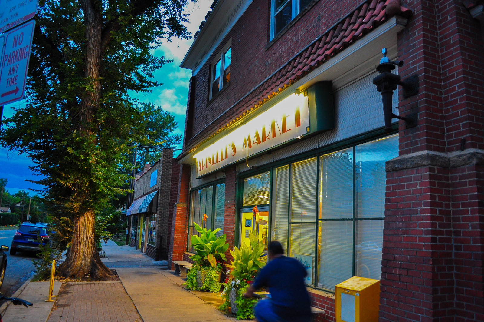
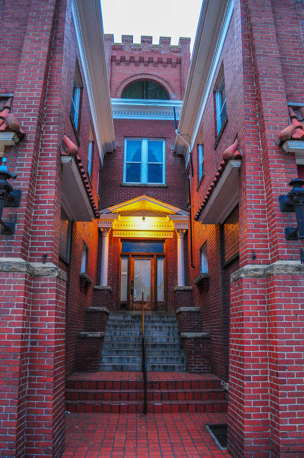
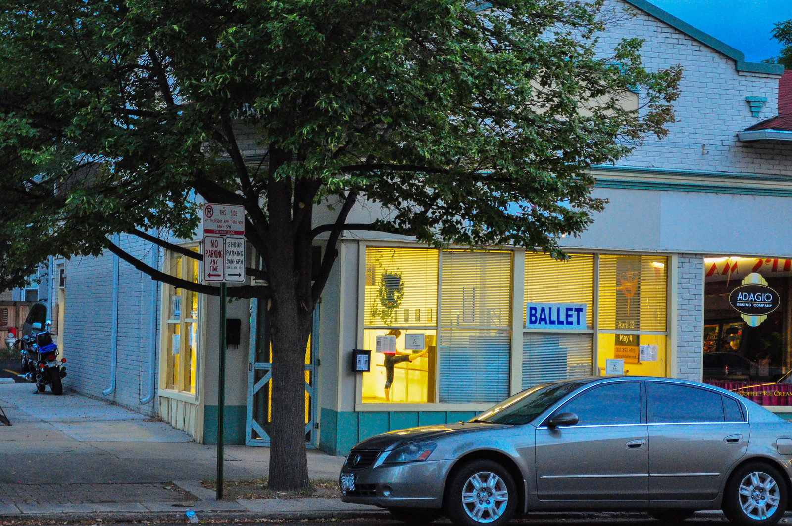

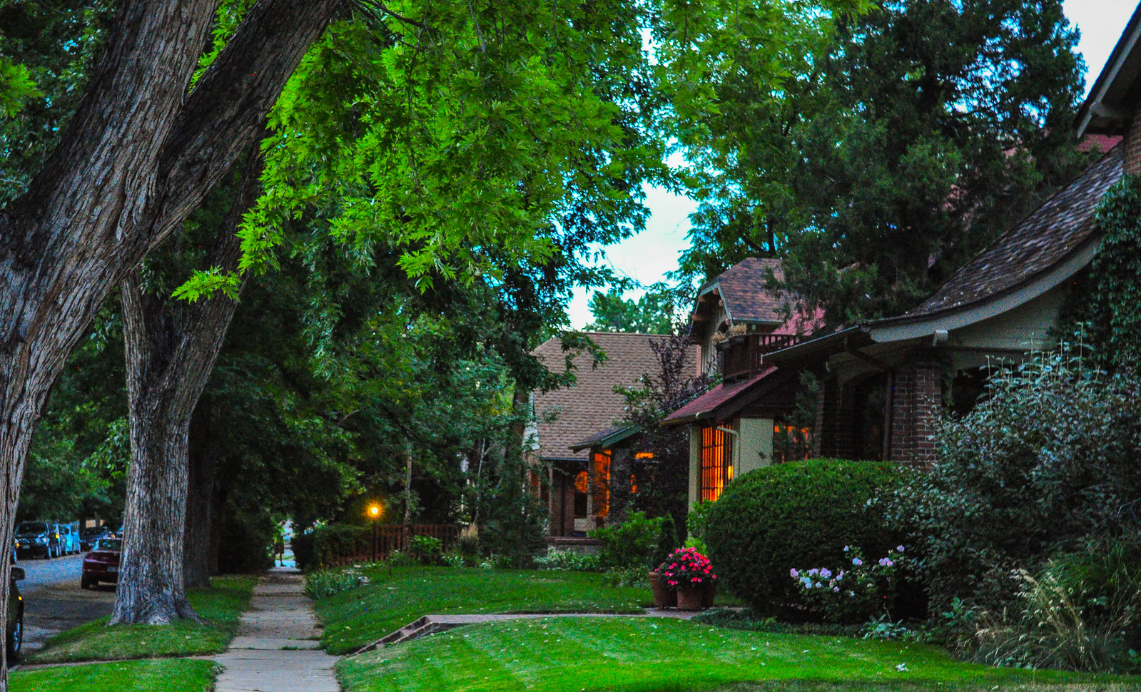
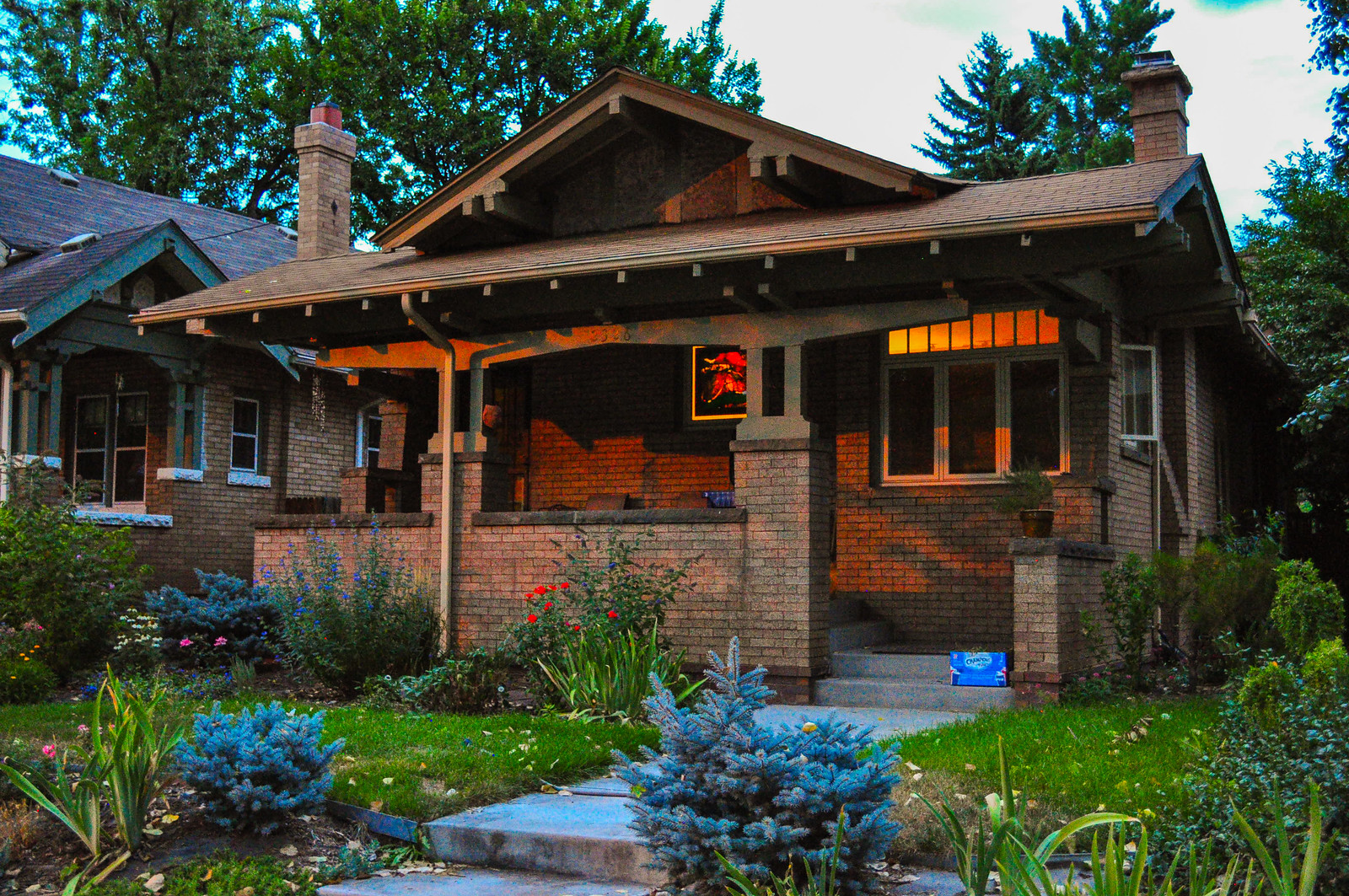
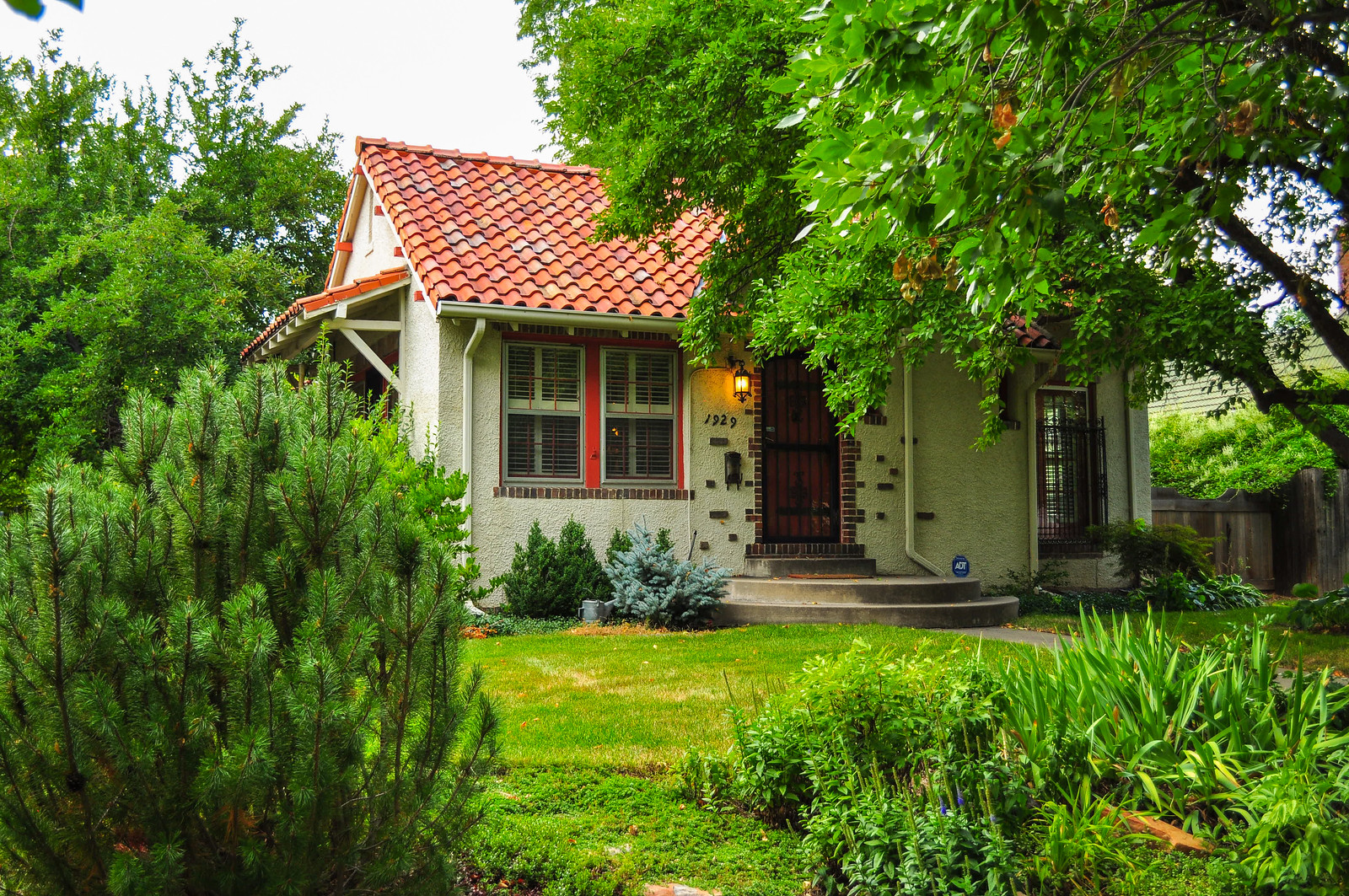
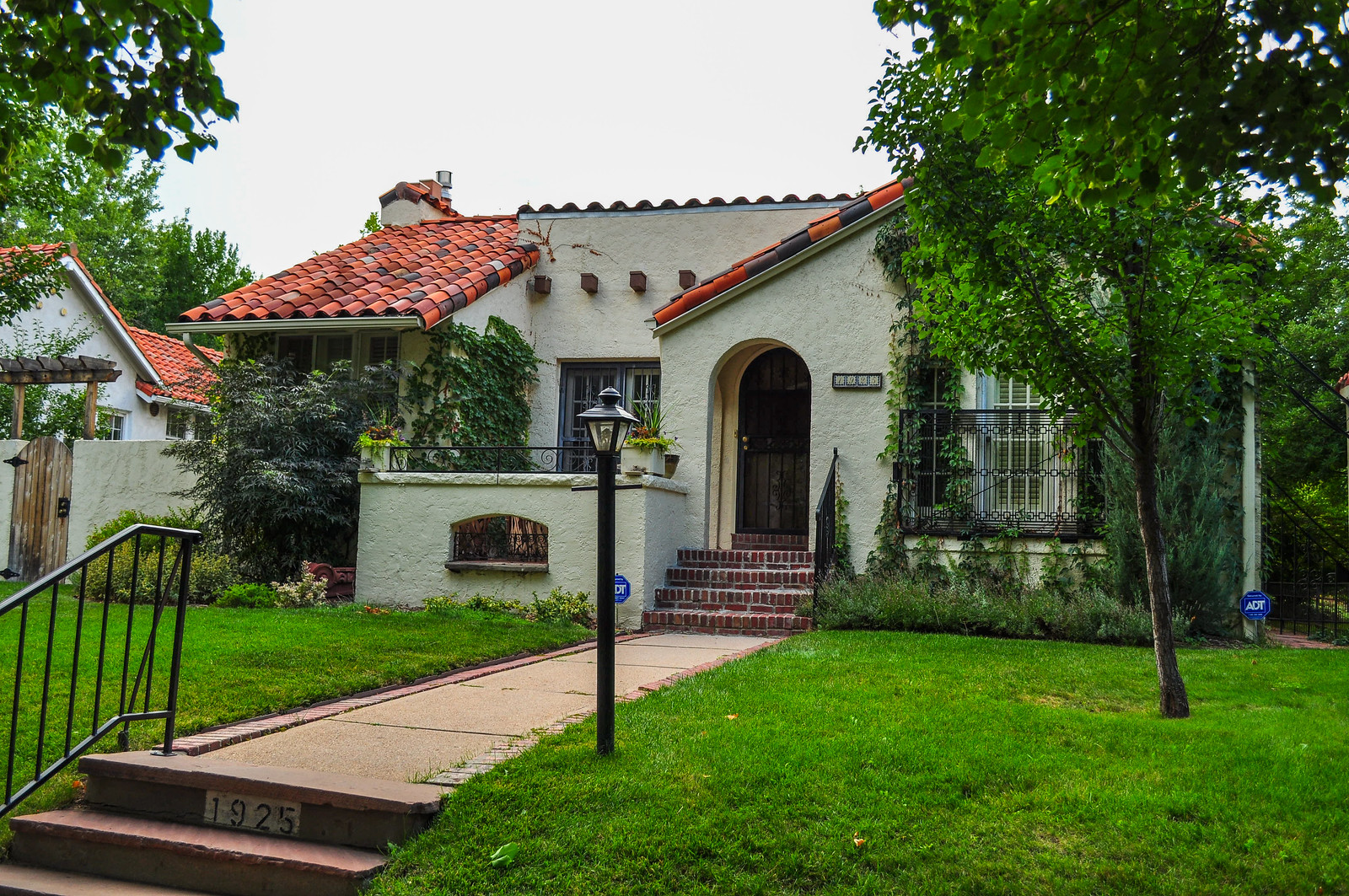
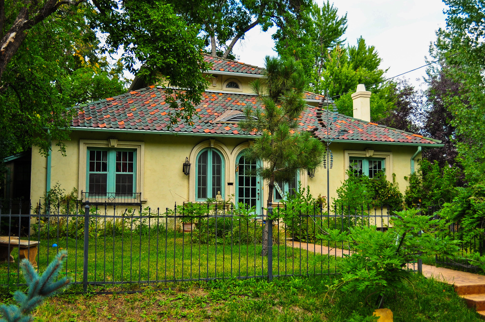
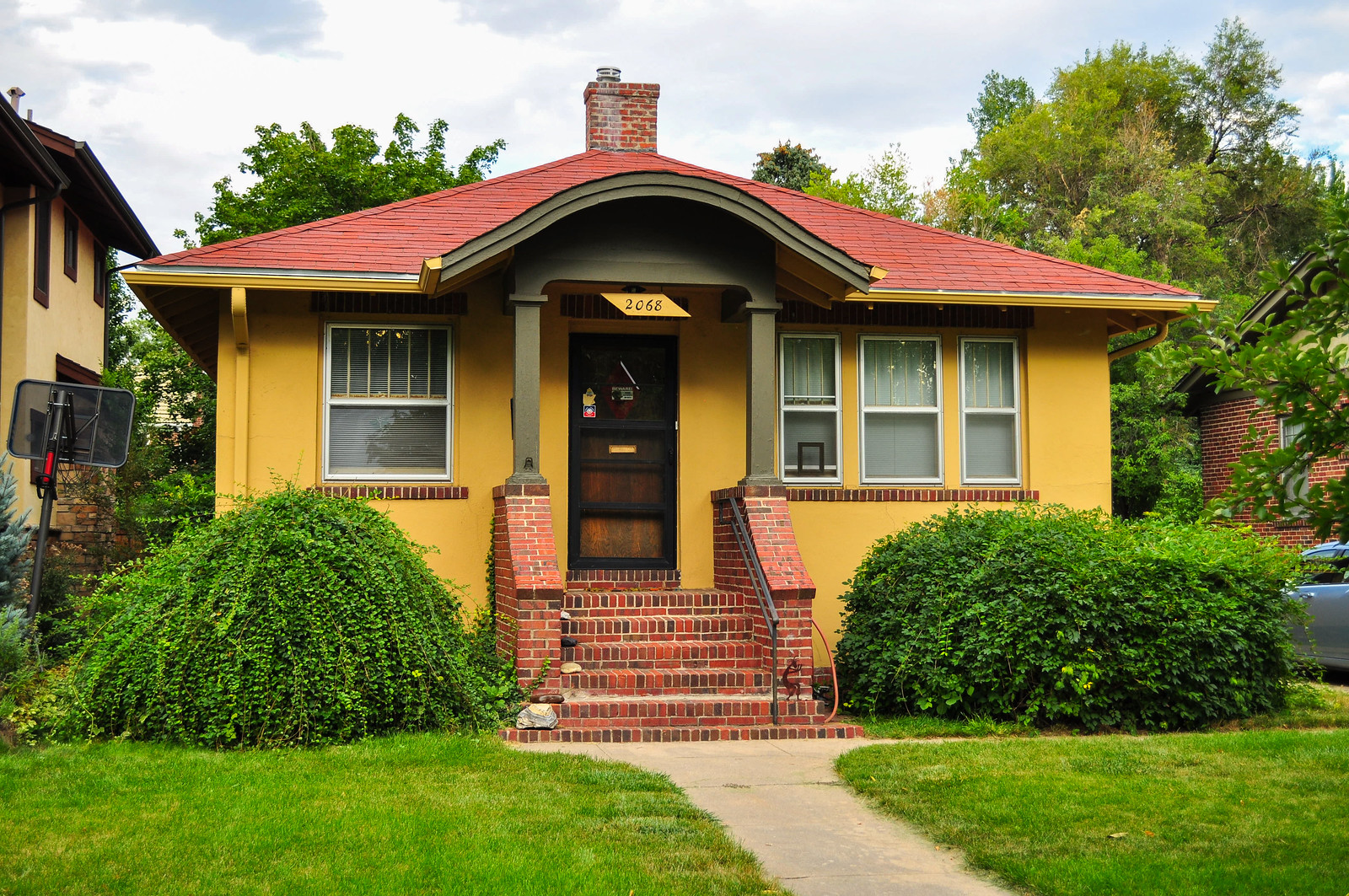
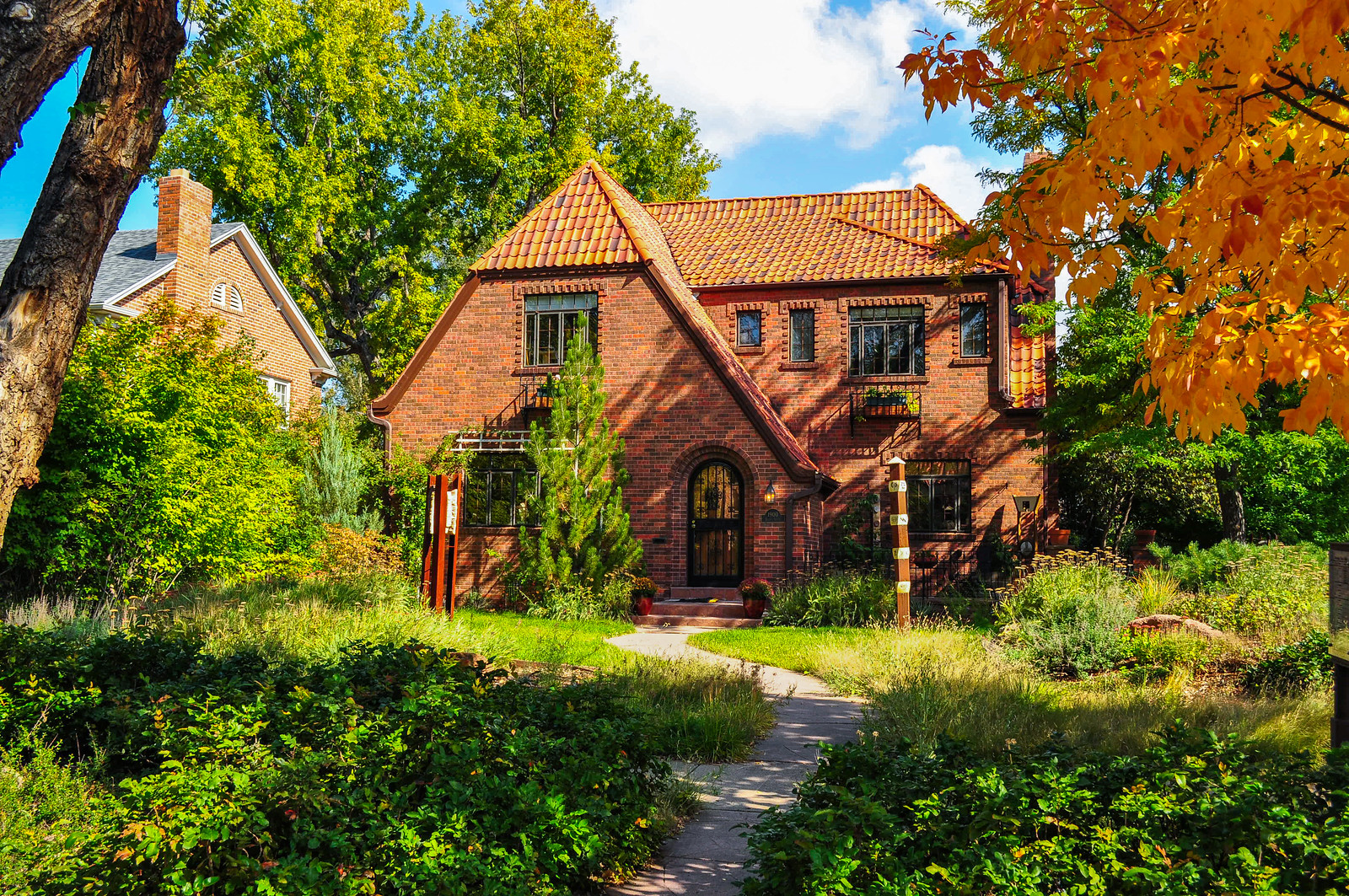
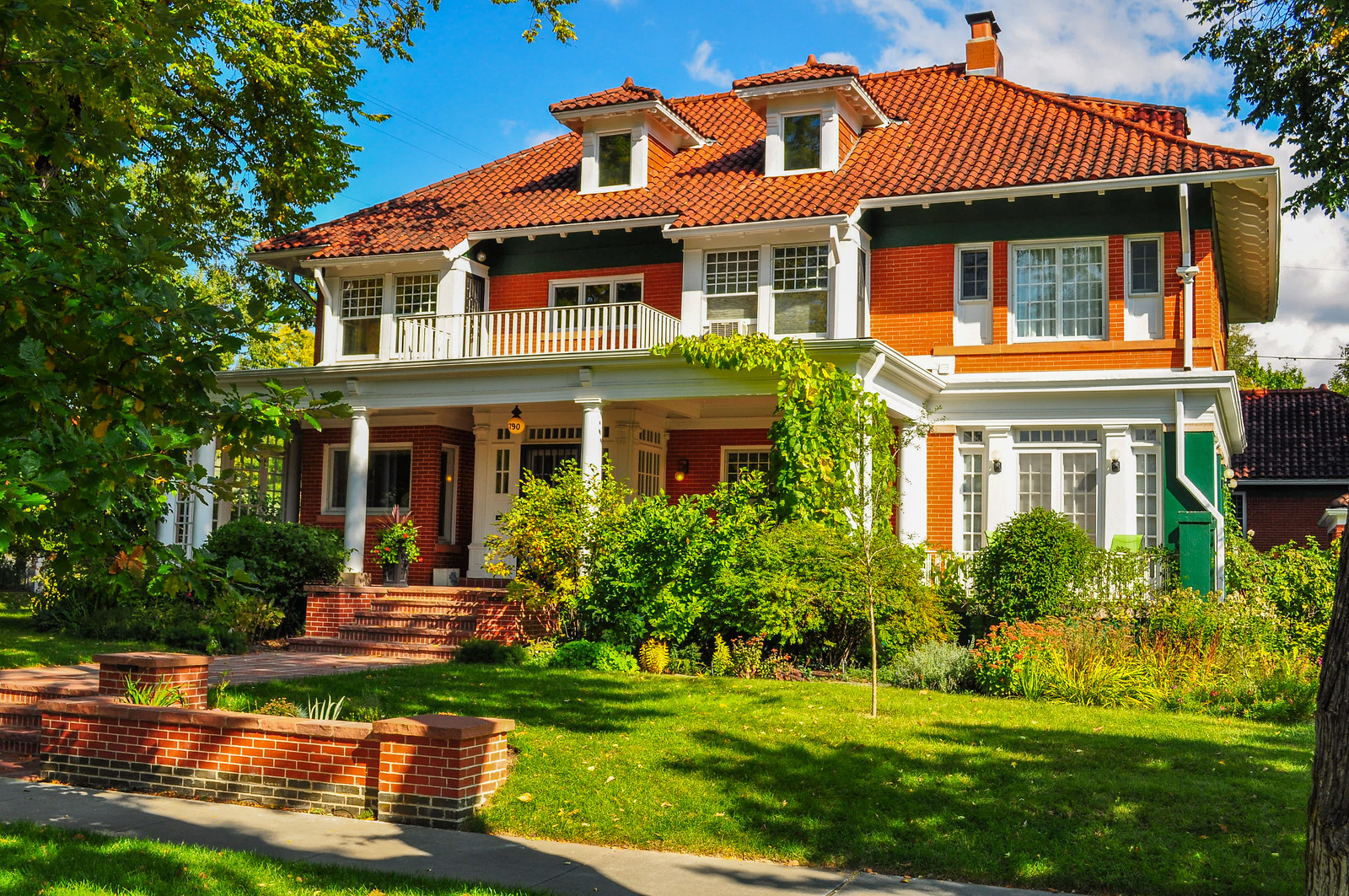
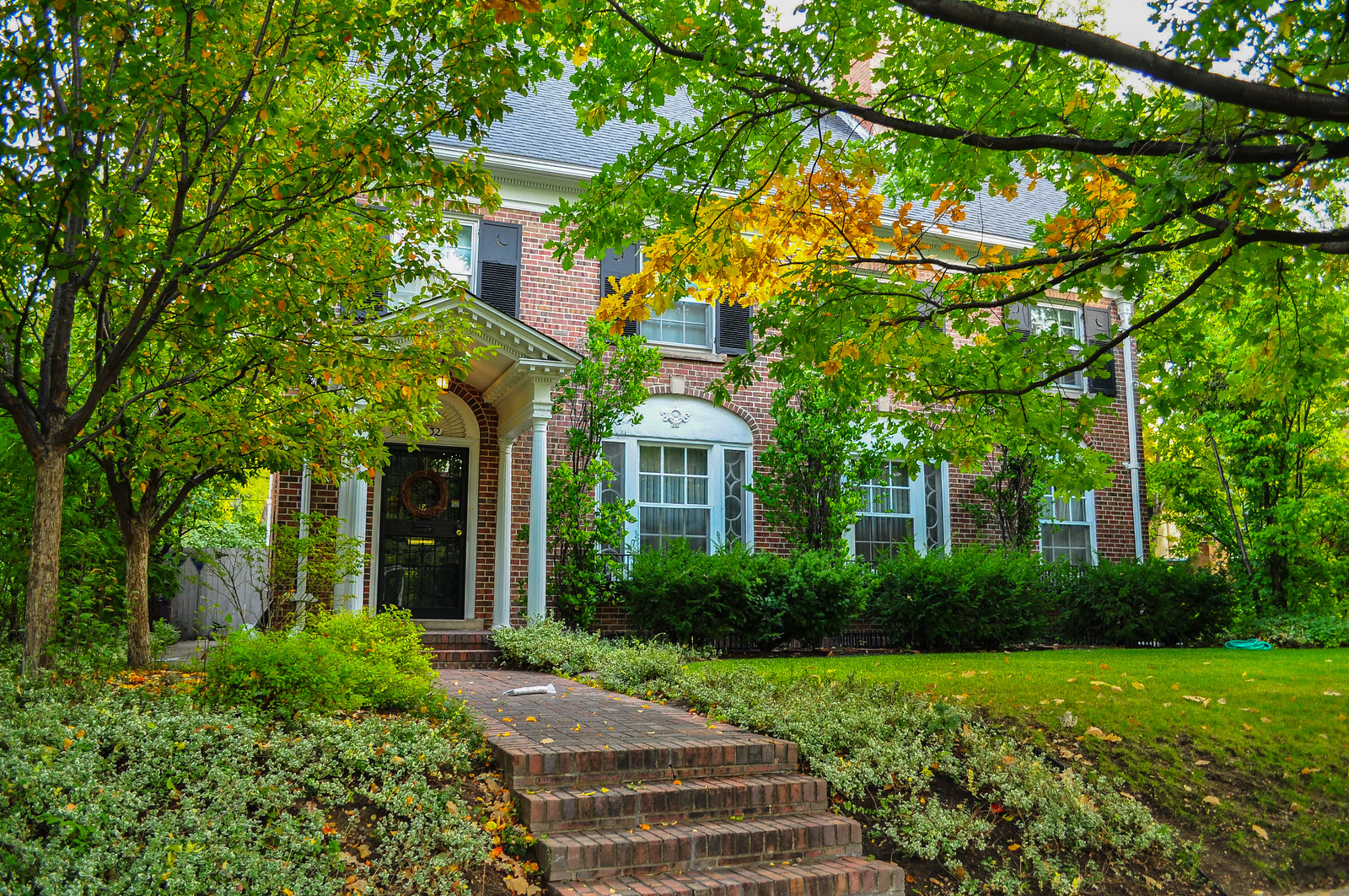
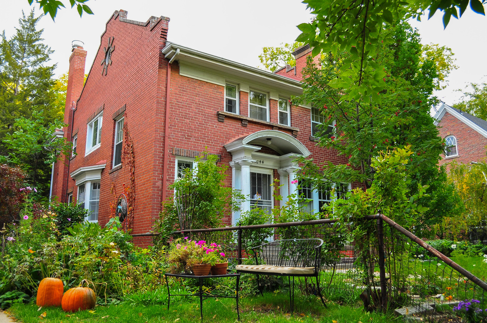
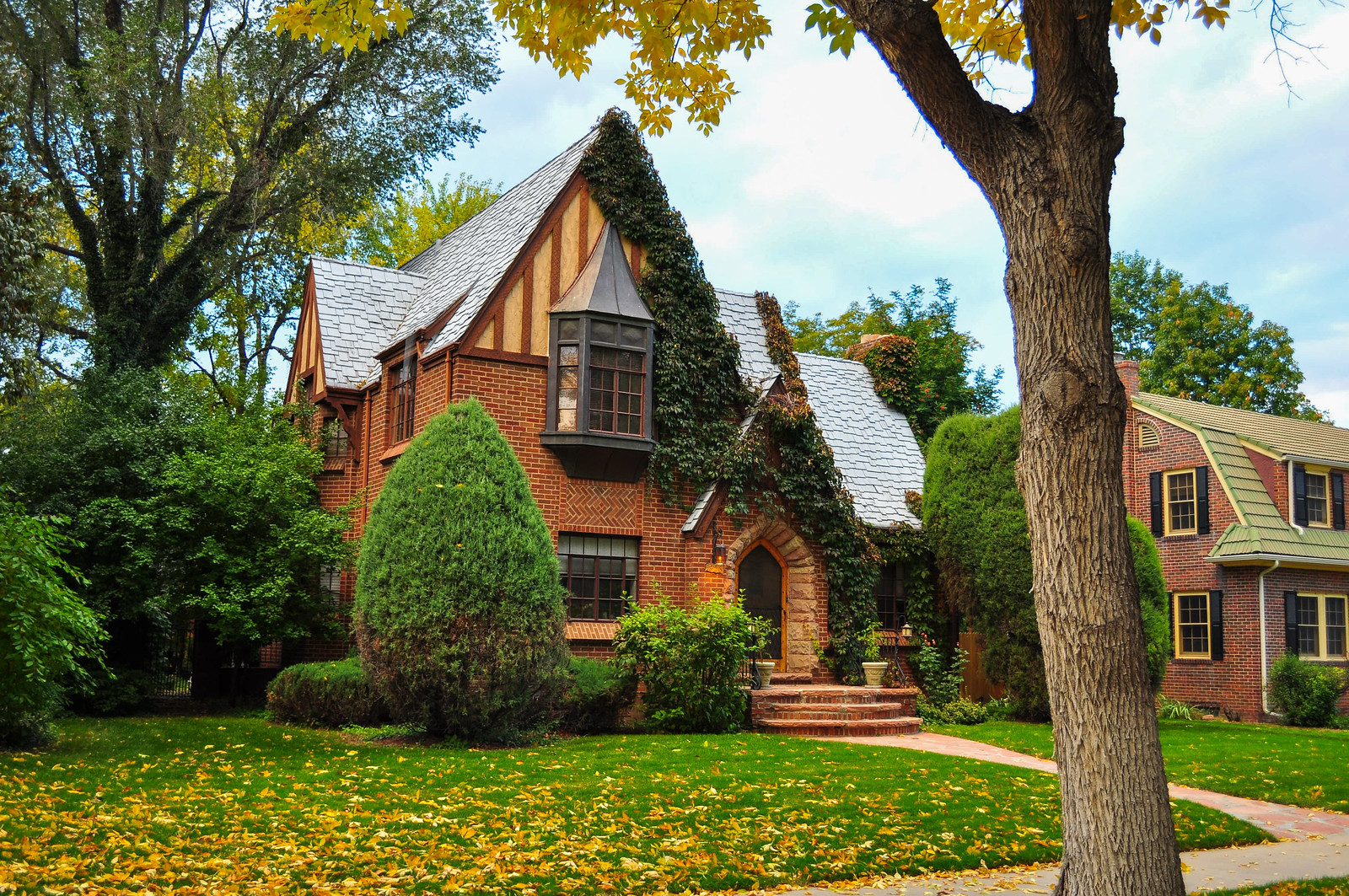
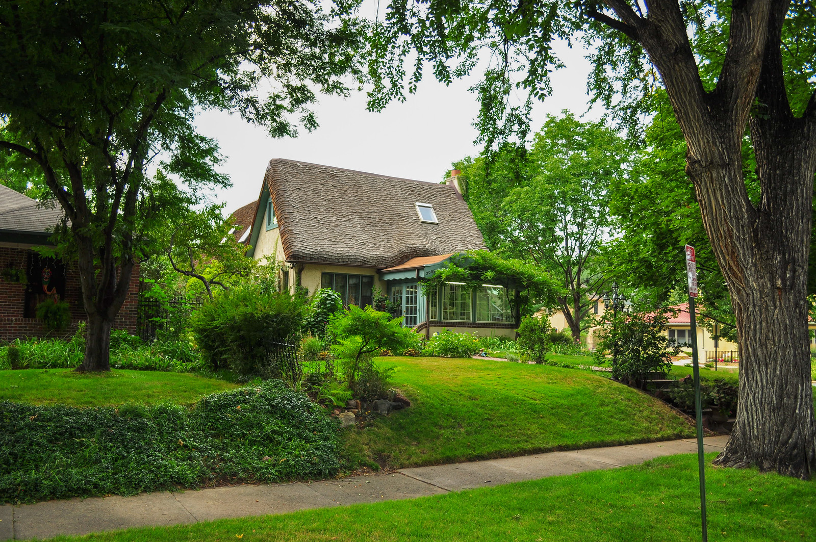
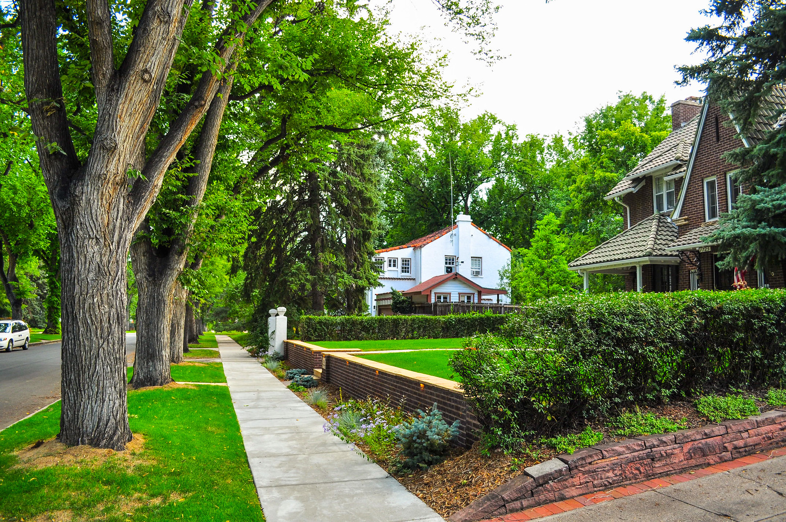 A lot of Small House Bureau Homes in Park Hill
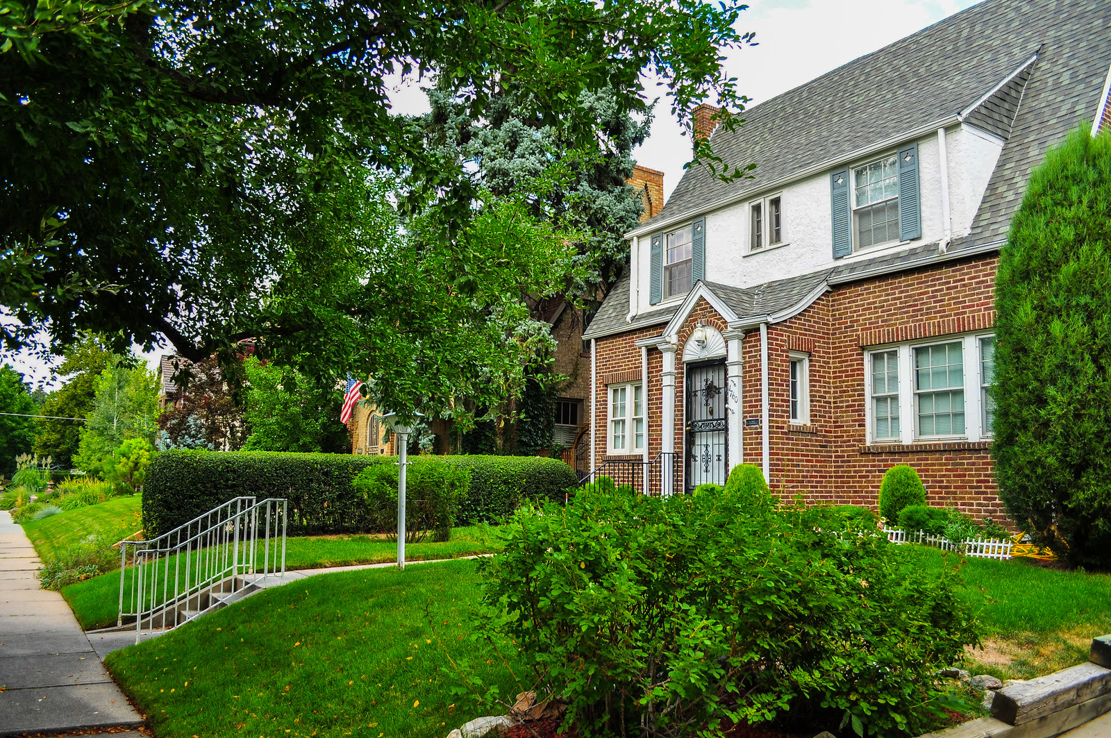
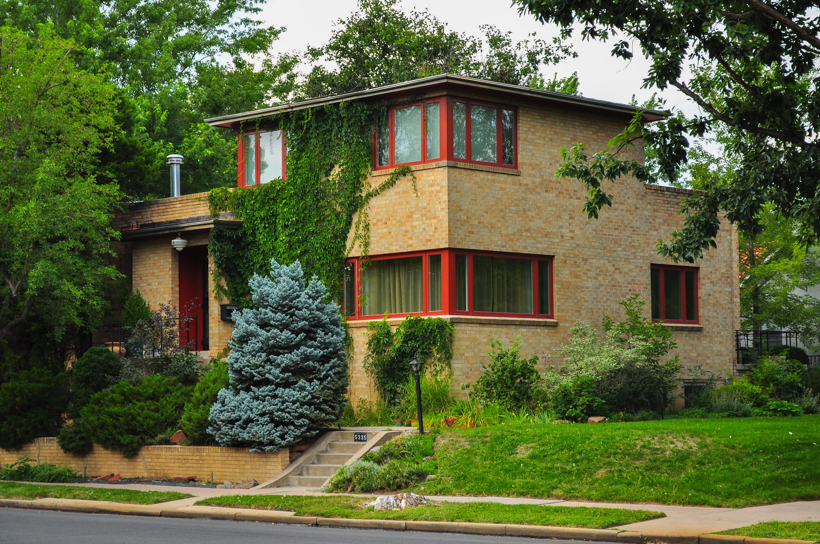
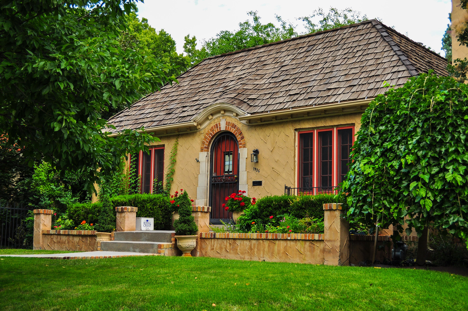
 Smiley Junior High – 1928 – Tudor. Architect, George H. Williamson
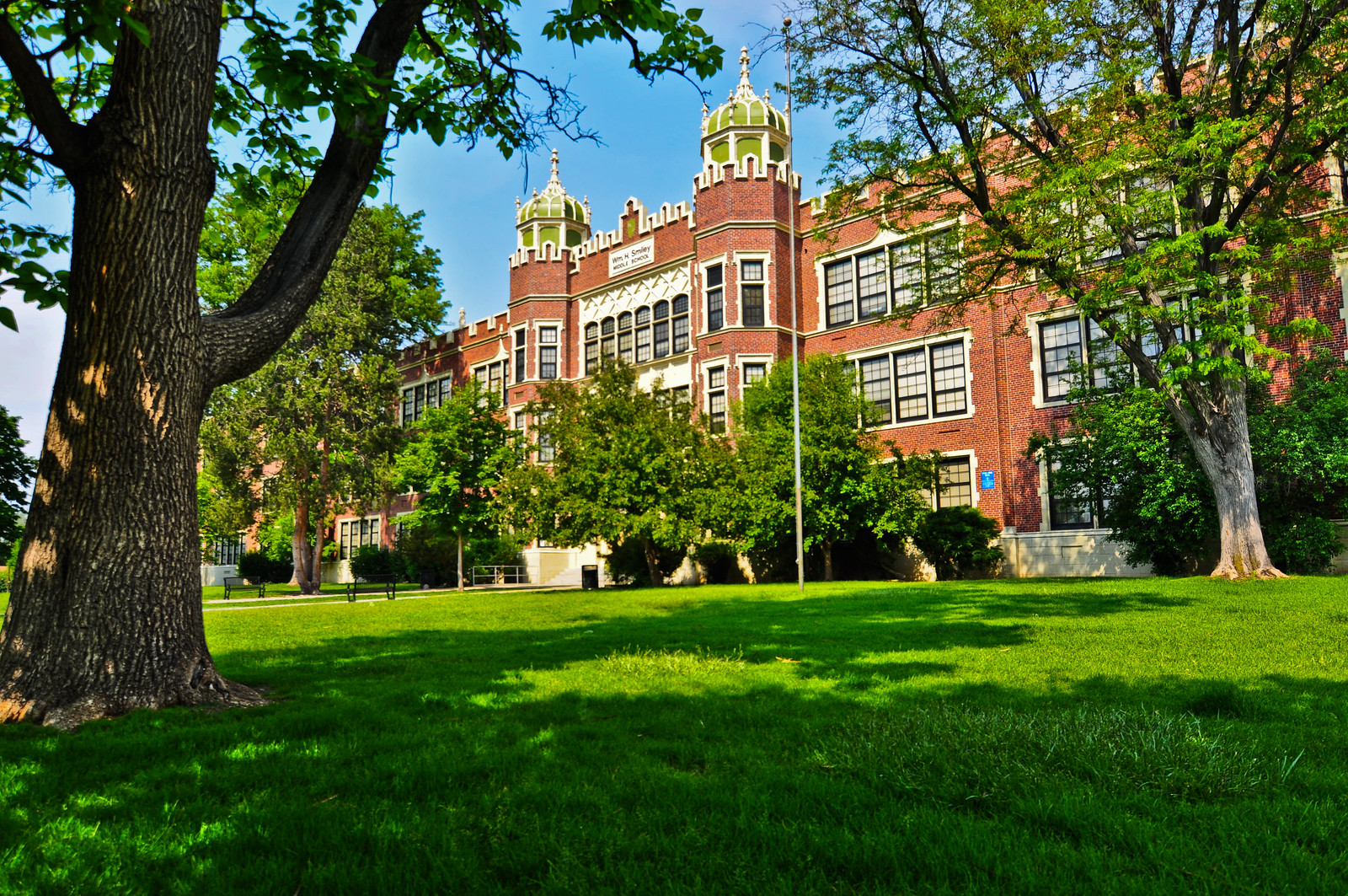
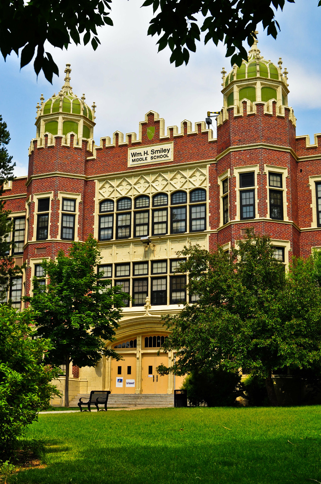
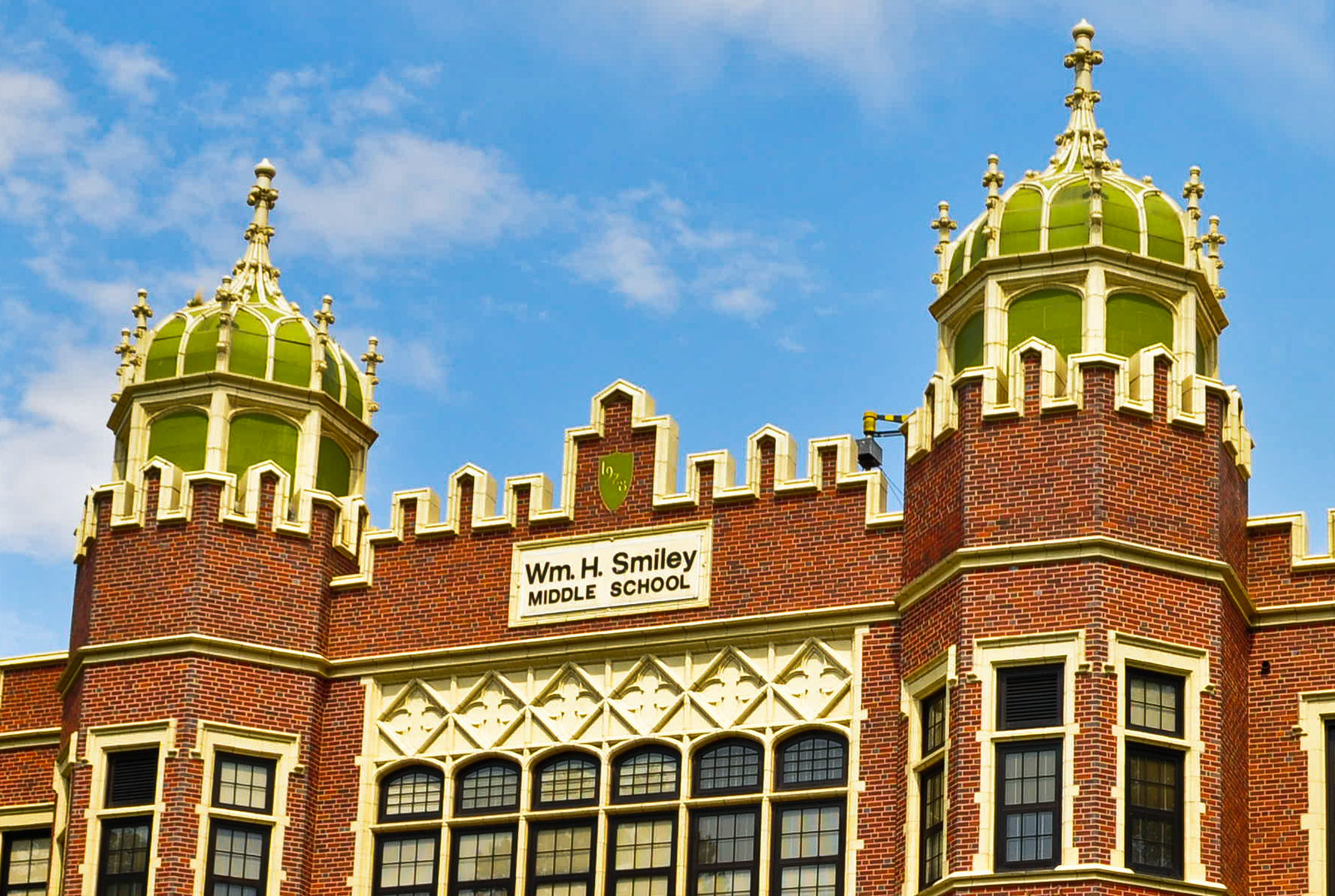

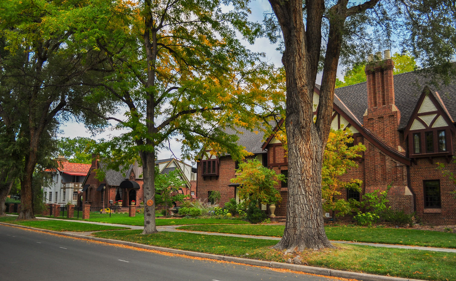 I’m heading south towards Colfax – the southern boundary of South Park Hill
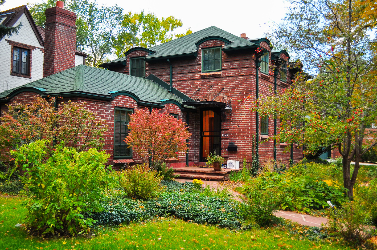

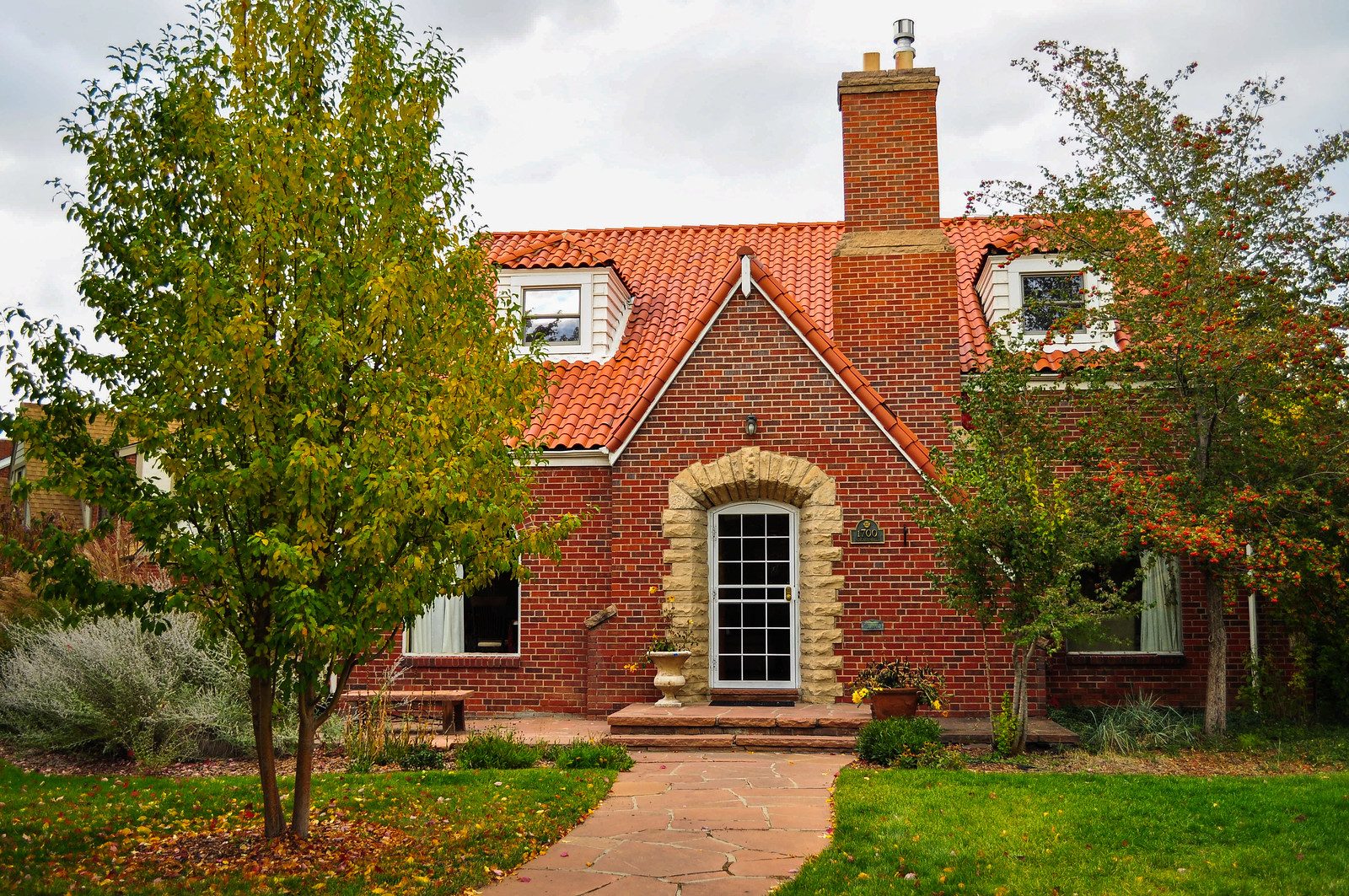
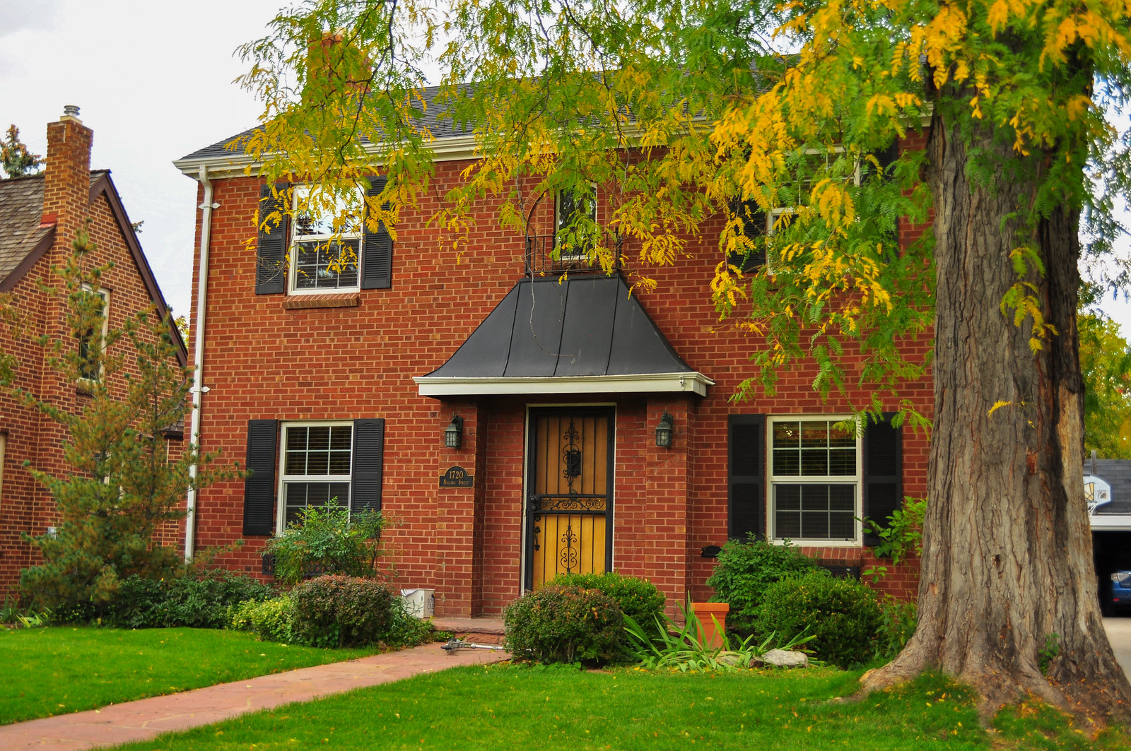
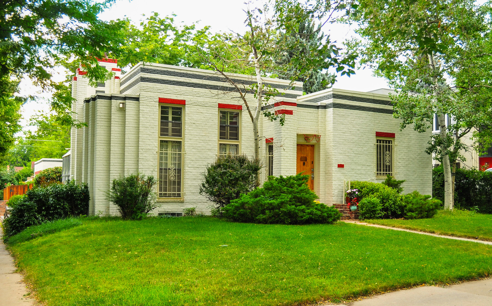
 Art Deco inspired design by Charles Jaka – 1931
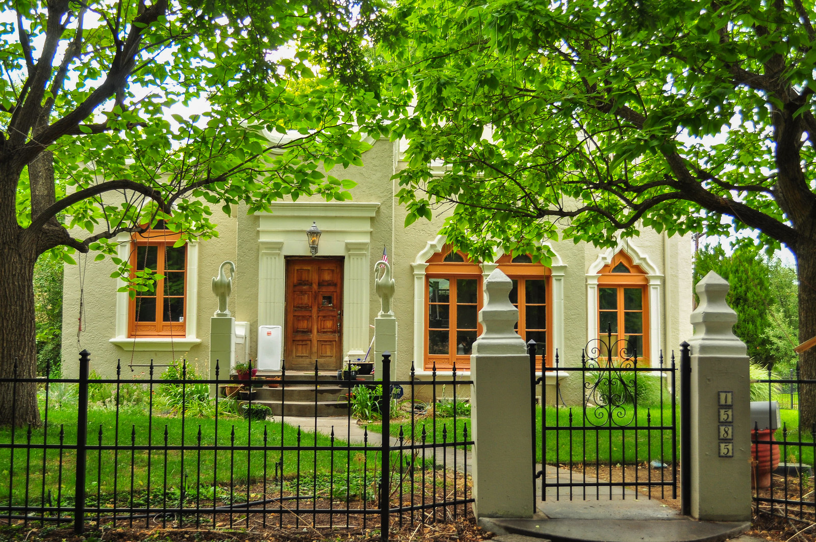
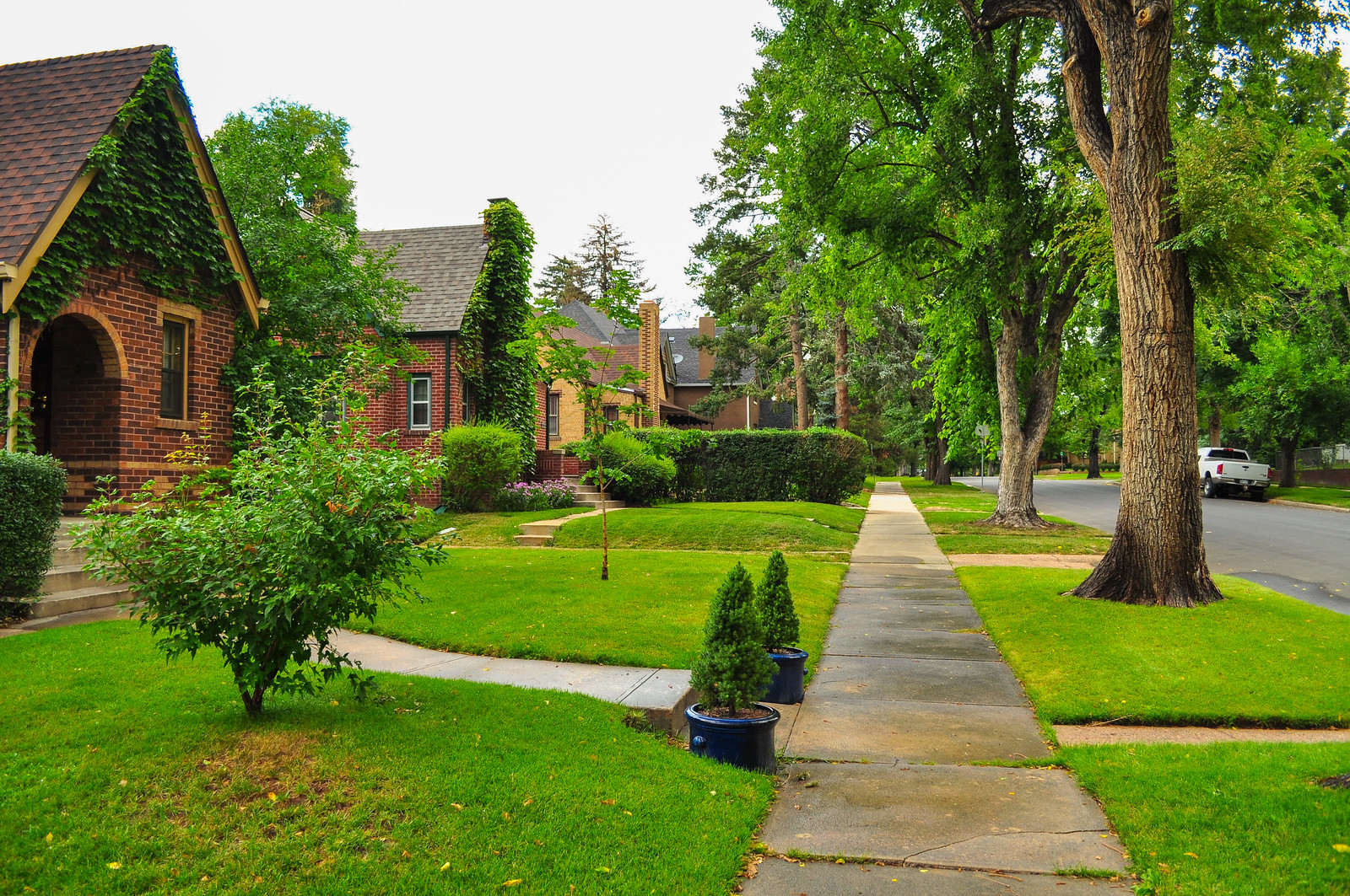
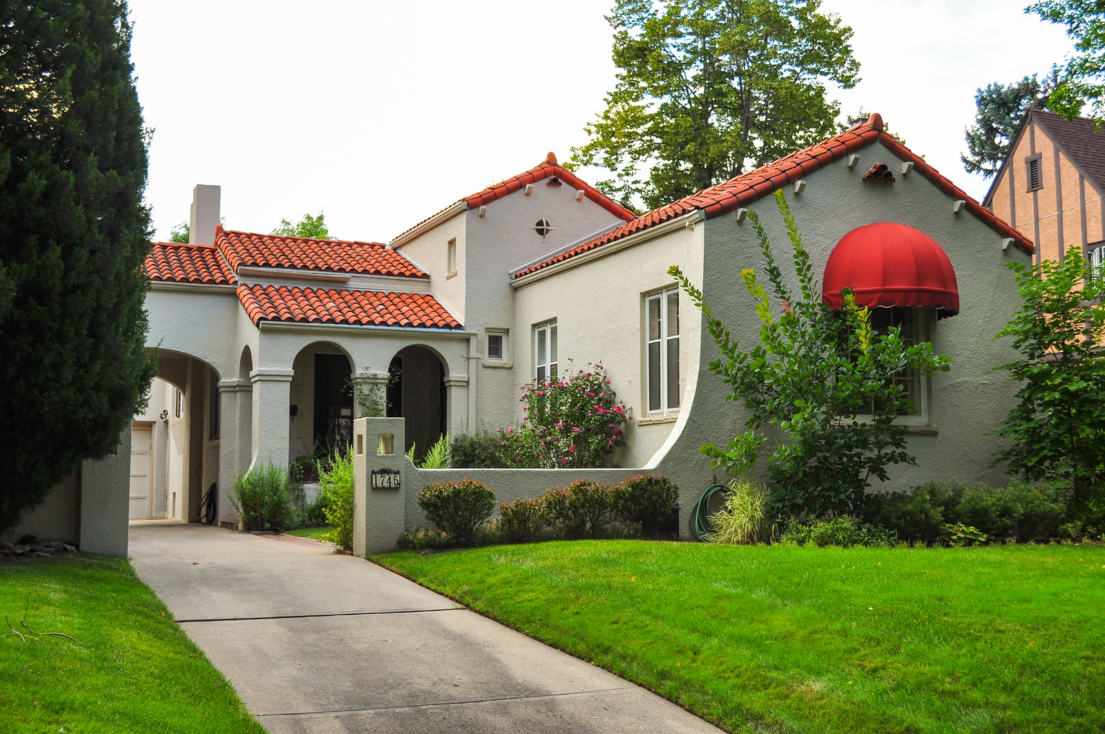
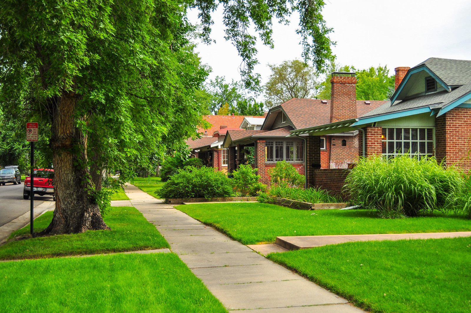
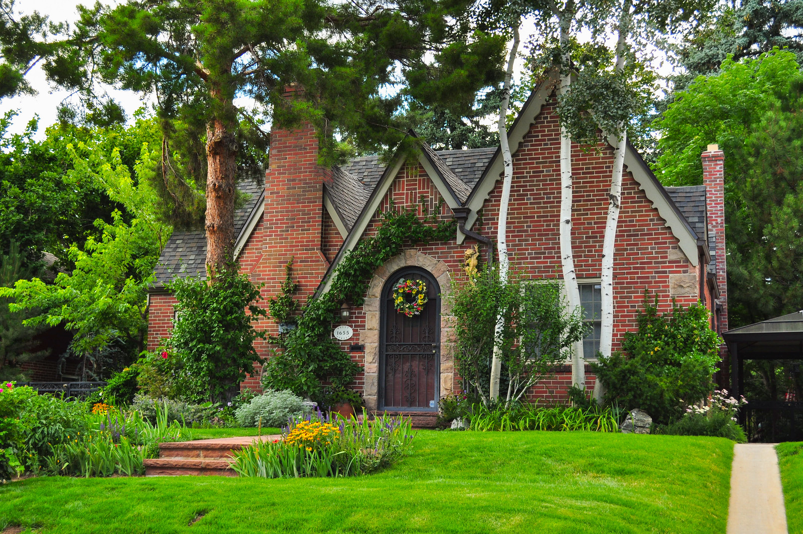
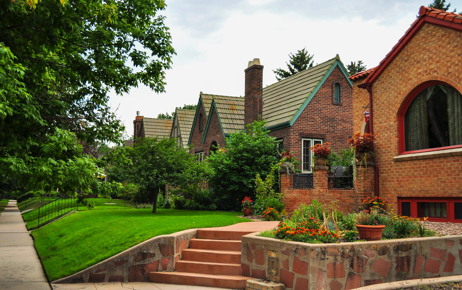
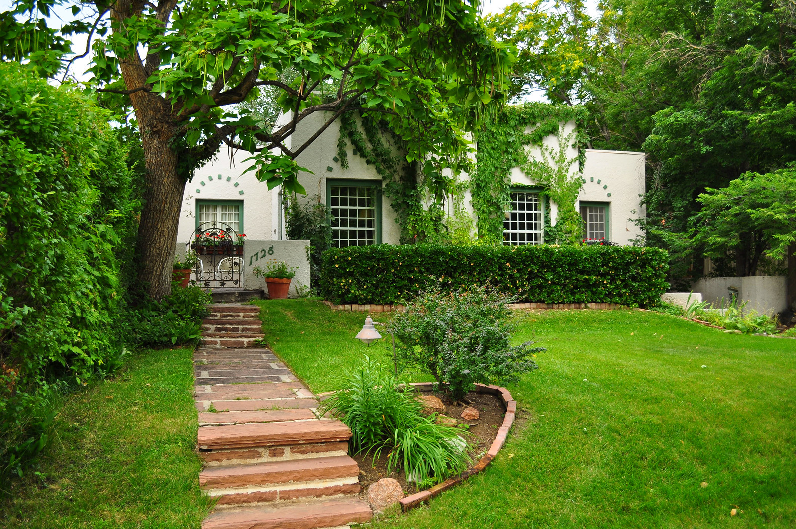
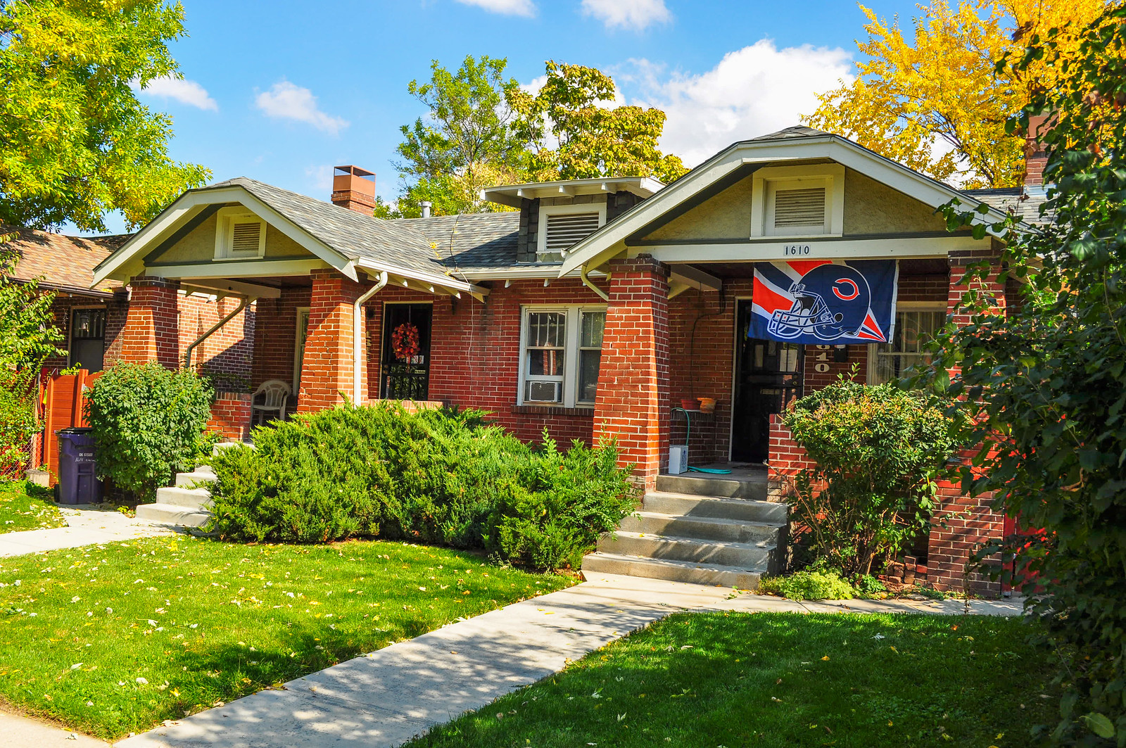
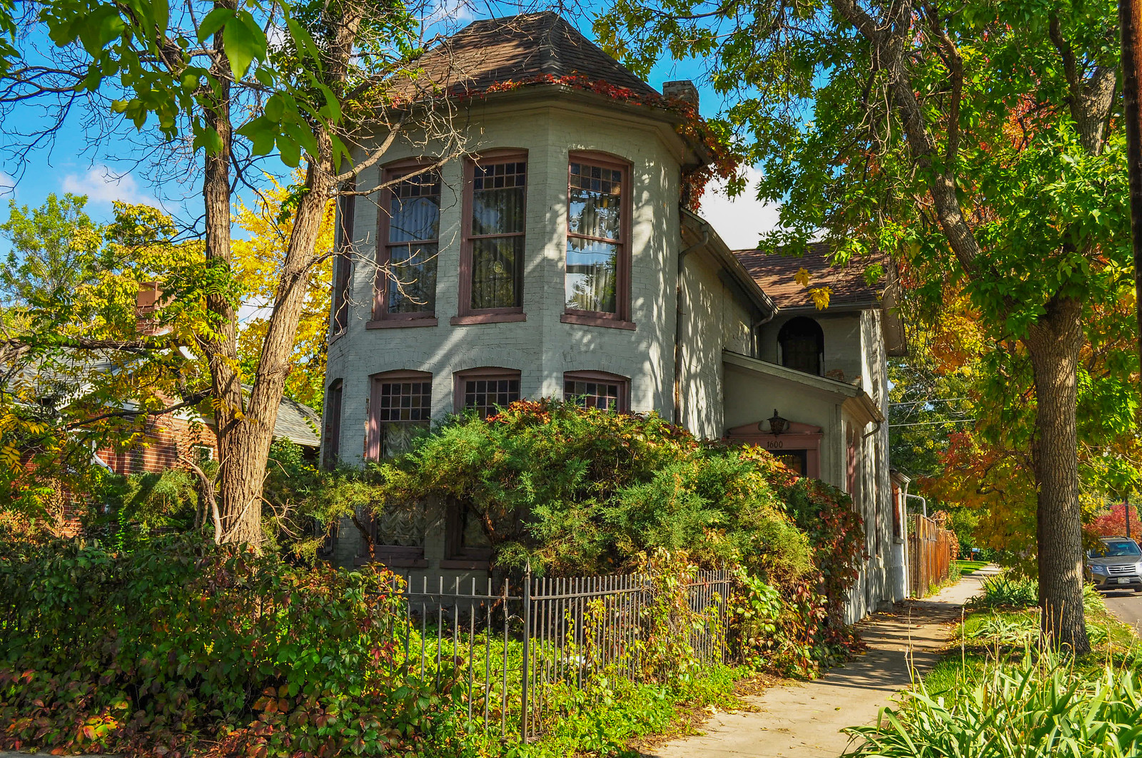
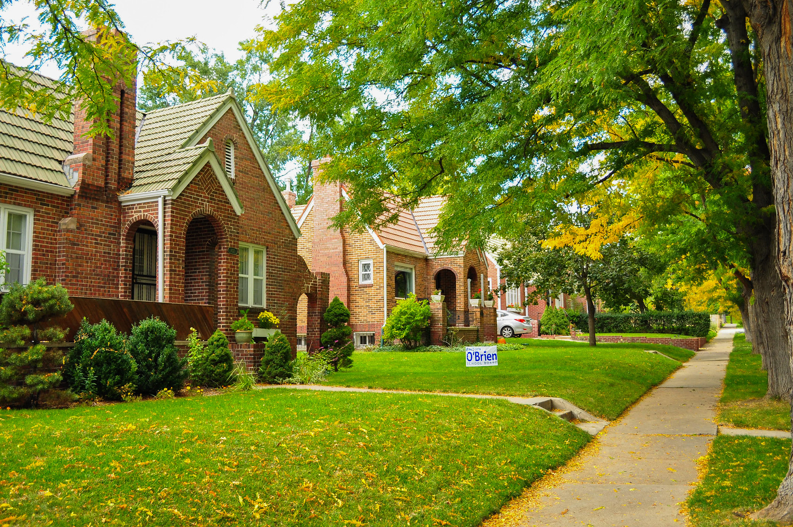
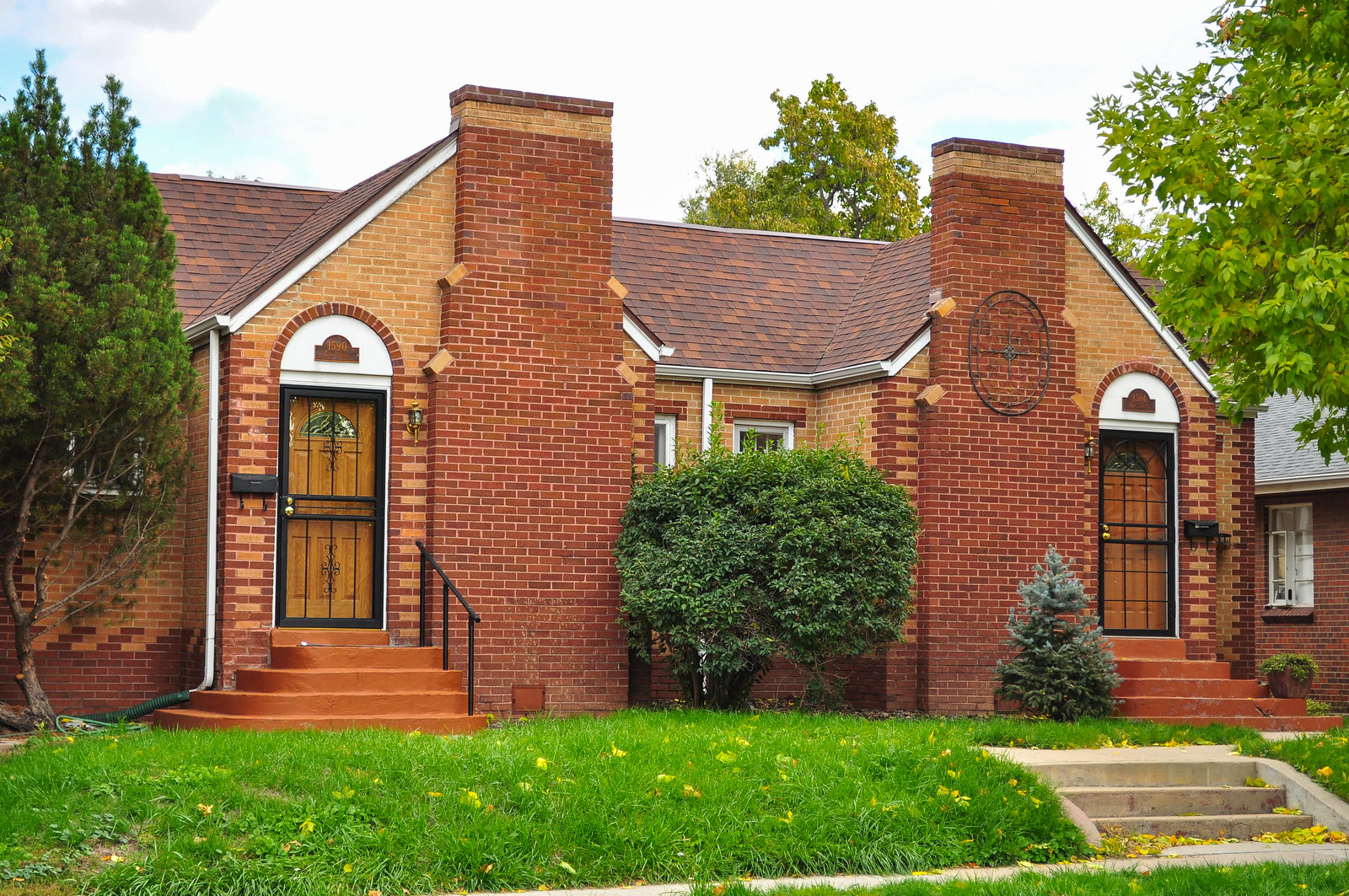
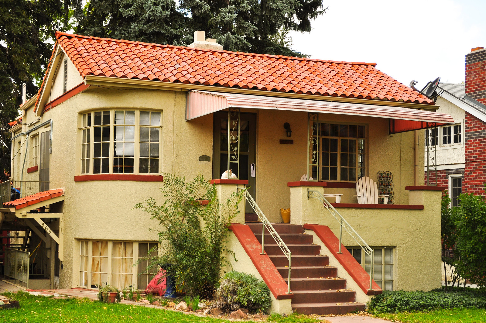
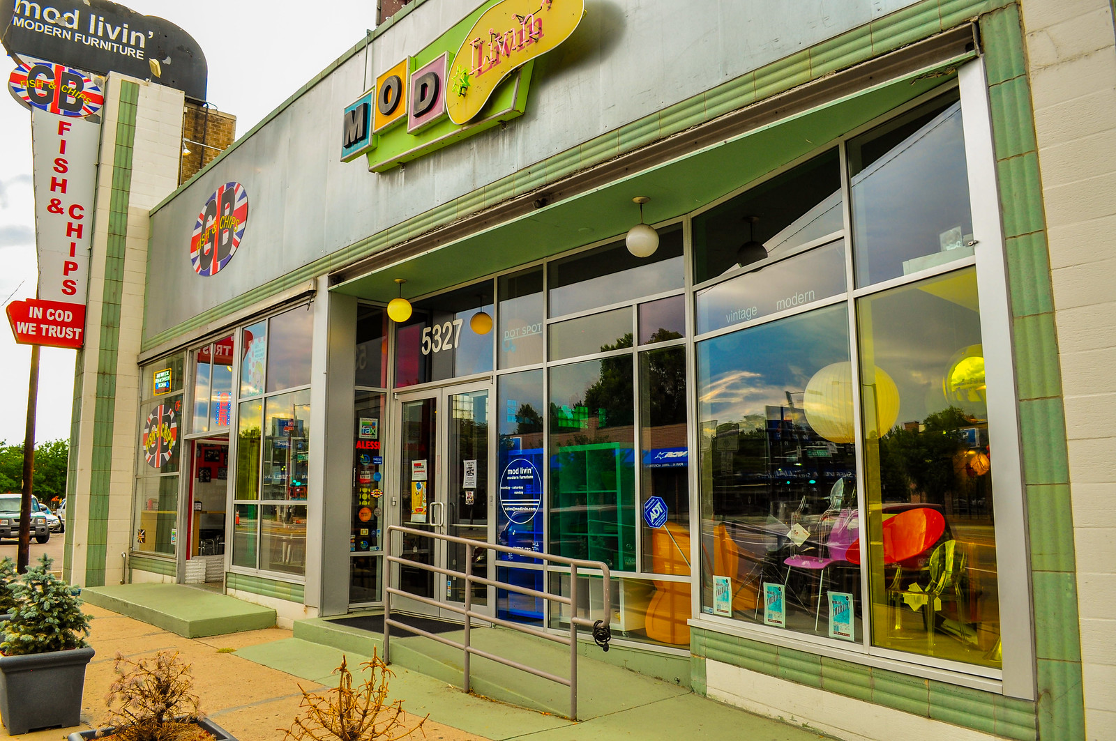
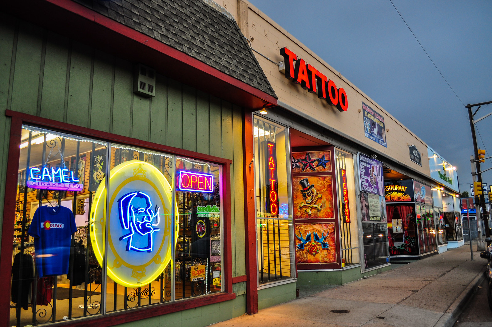
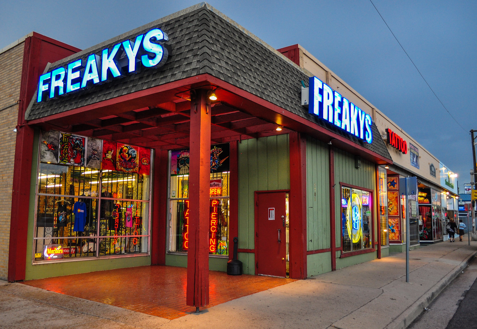
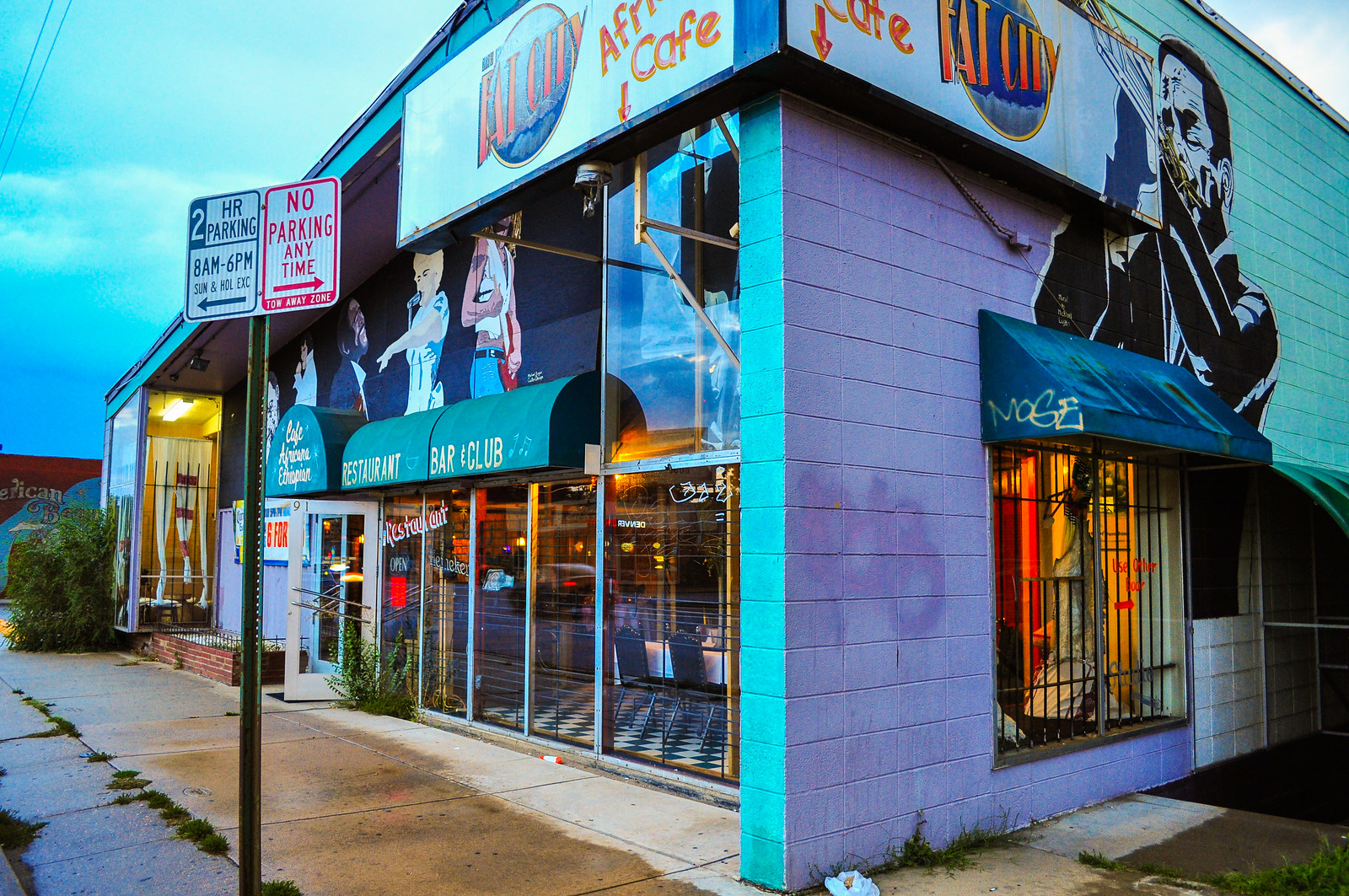
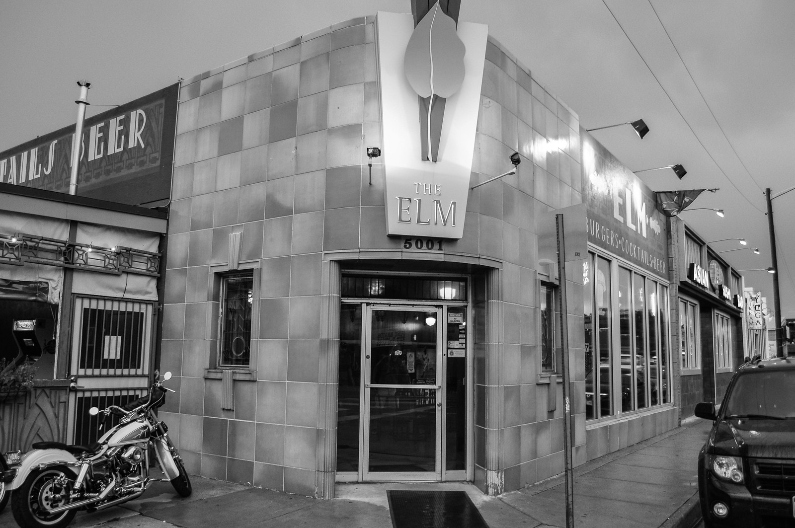
 On East Colfax now – the southern end of the line for South Park Hill.
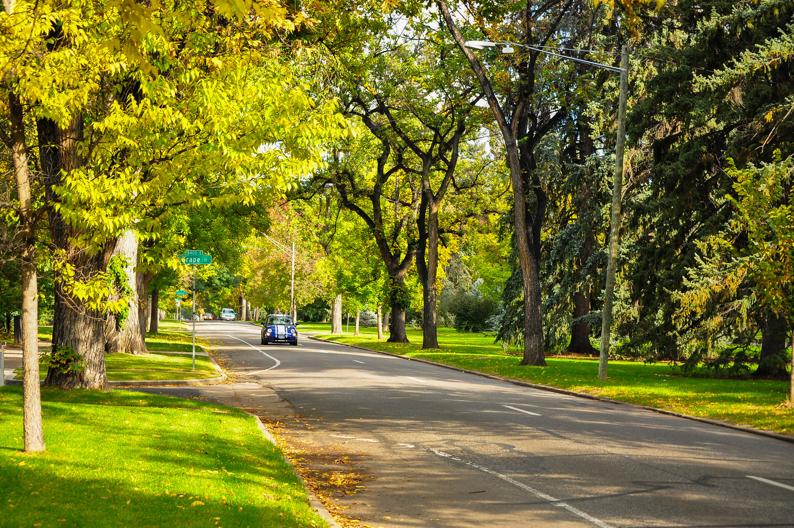
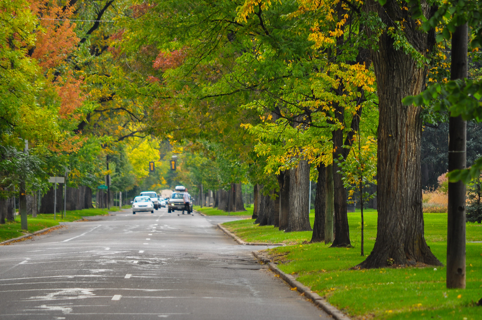
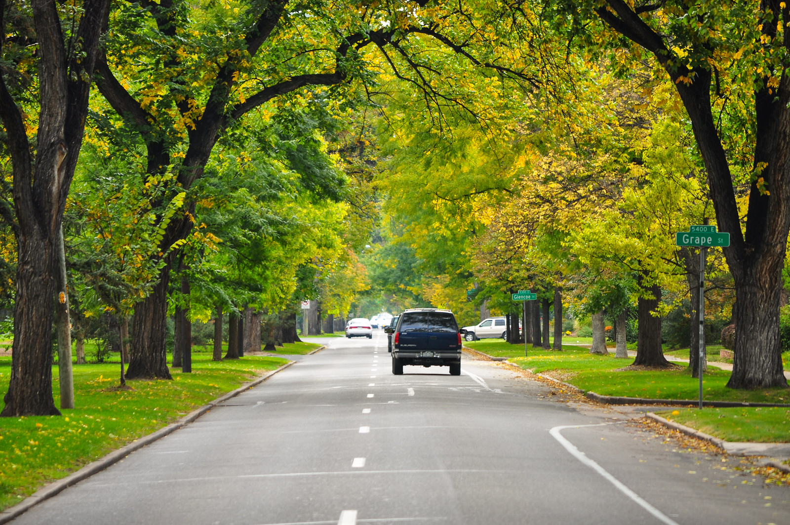
 Northbound now on Monaco Parkway which is several miles long and runs north/south on the eastern edge of the neighborhood
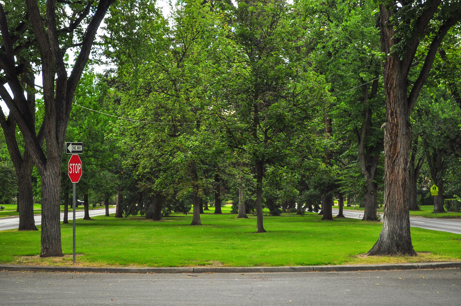
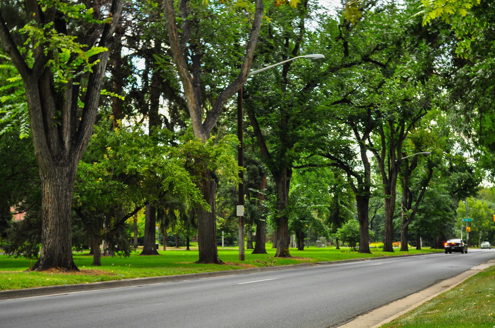 The parkway is on the left with cars heading south-bound on Monaco to the extreme left of the photo.
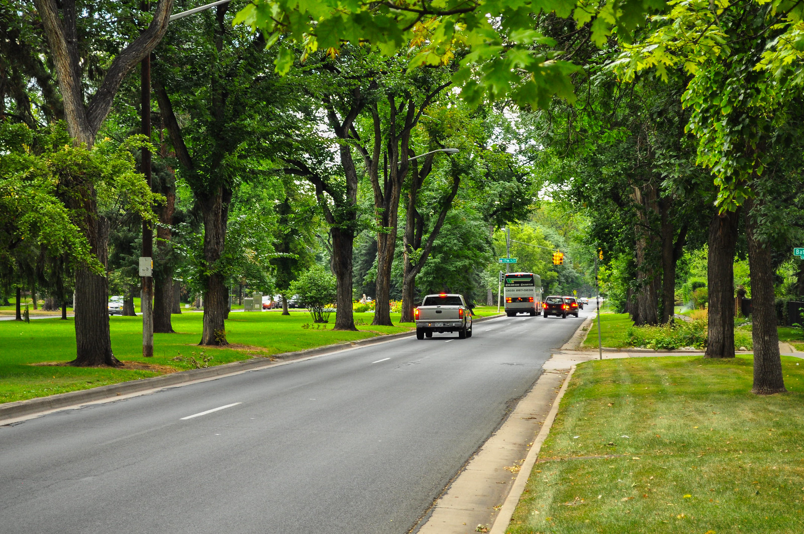
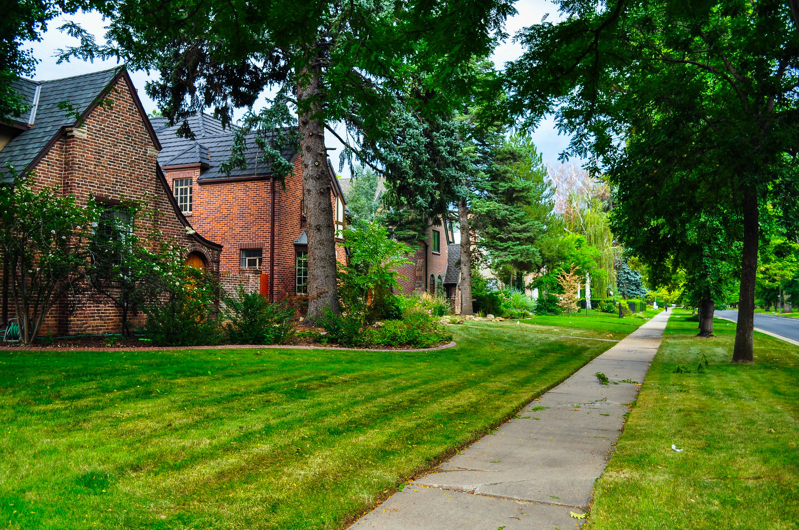
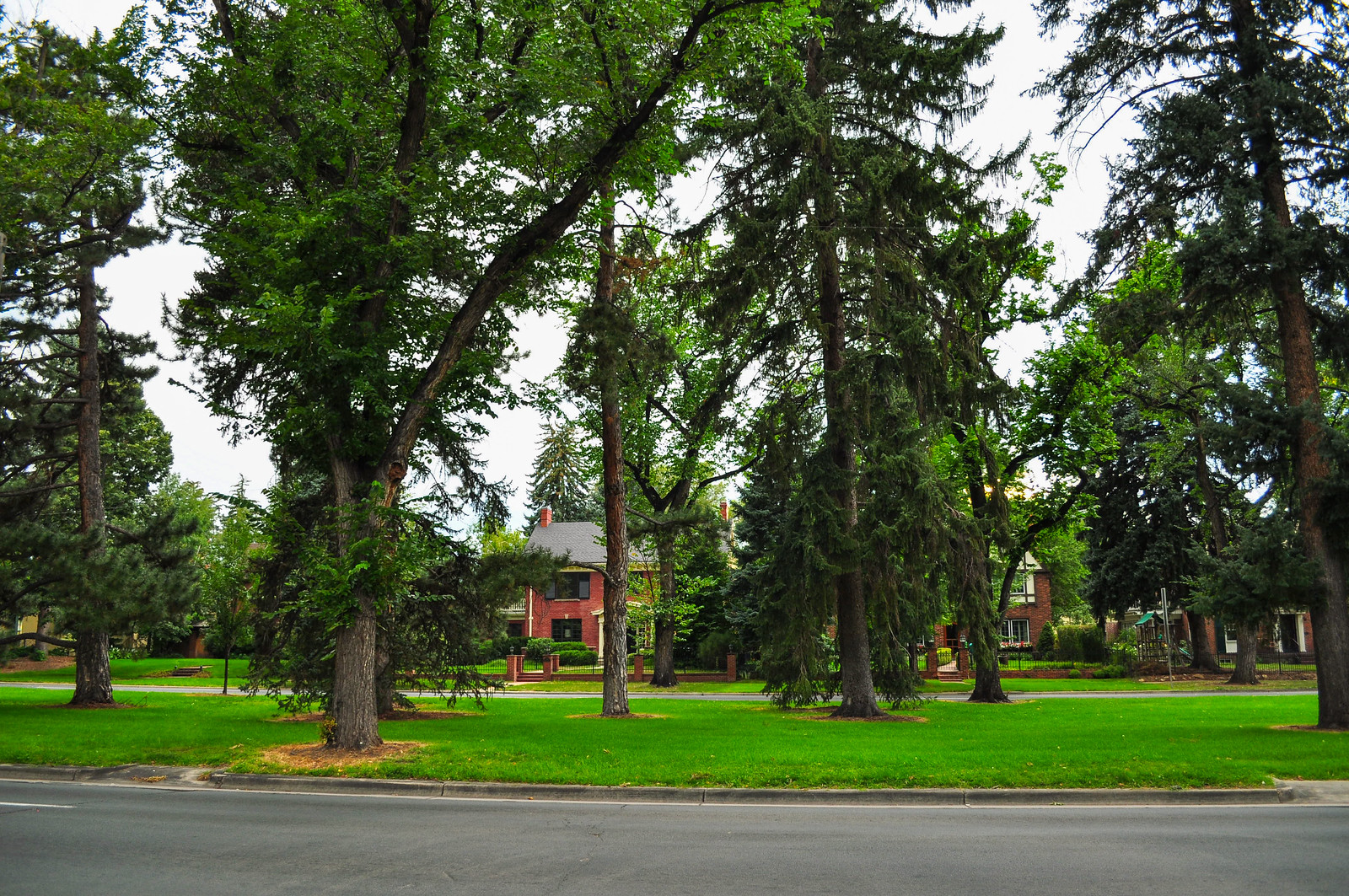
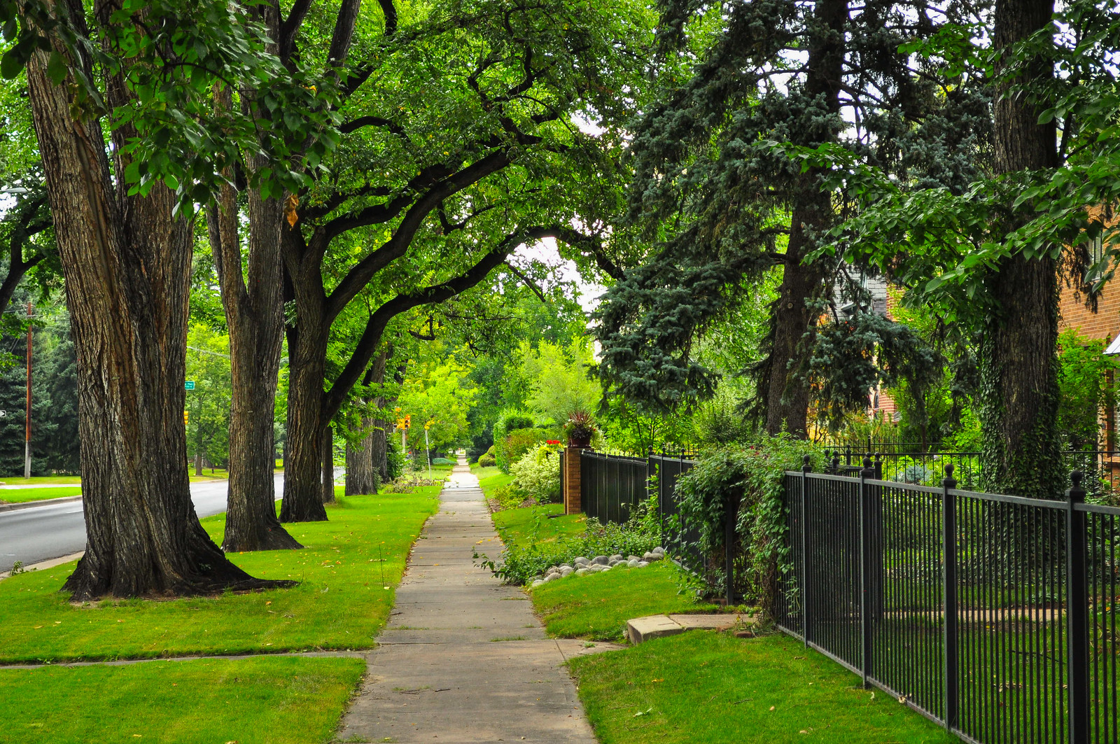
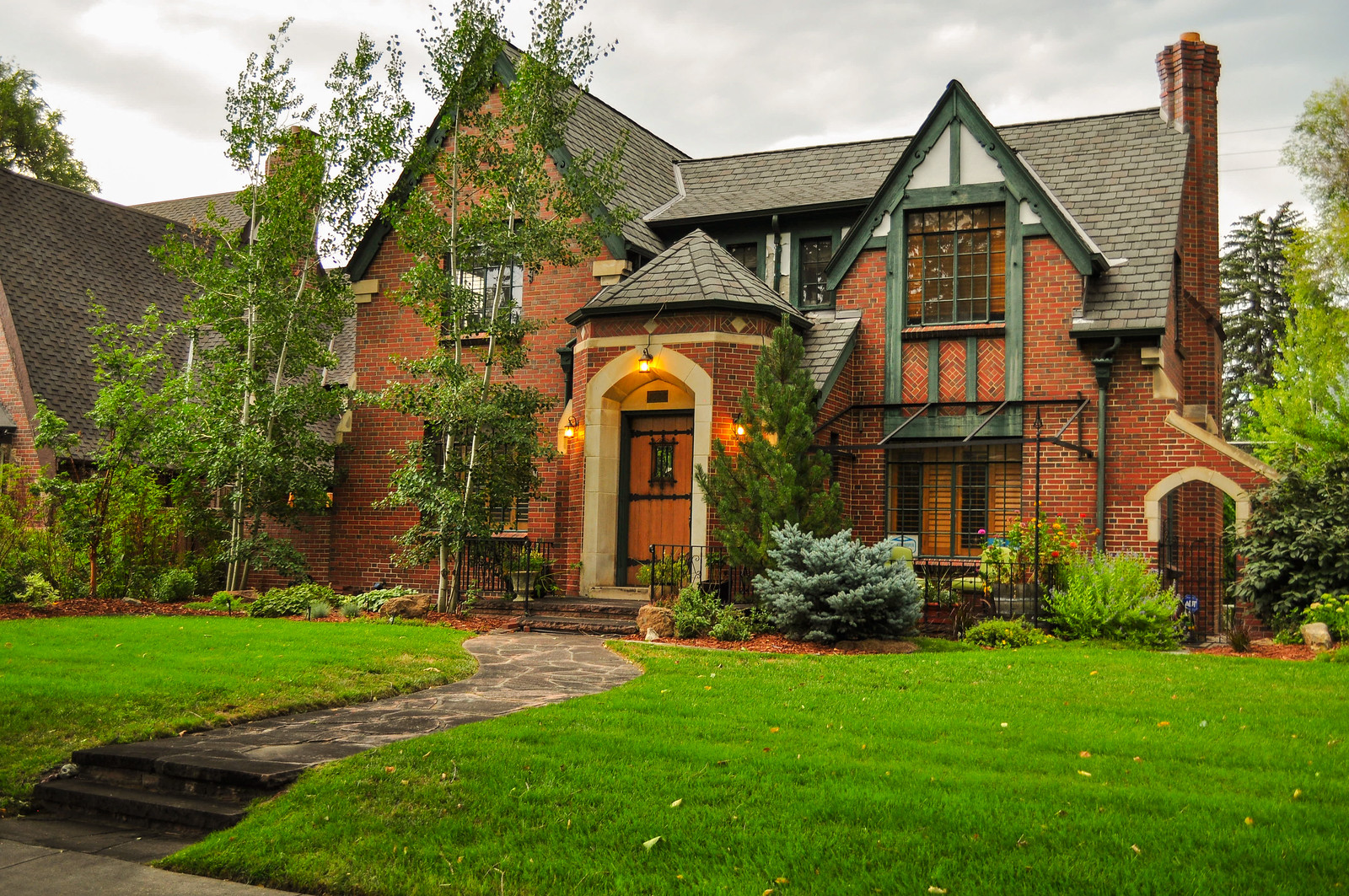
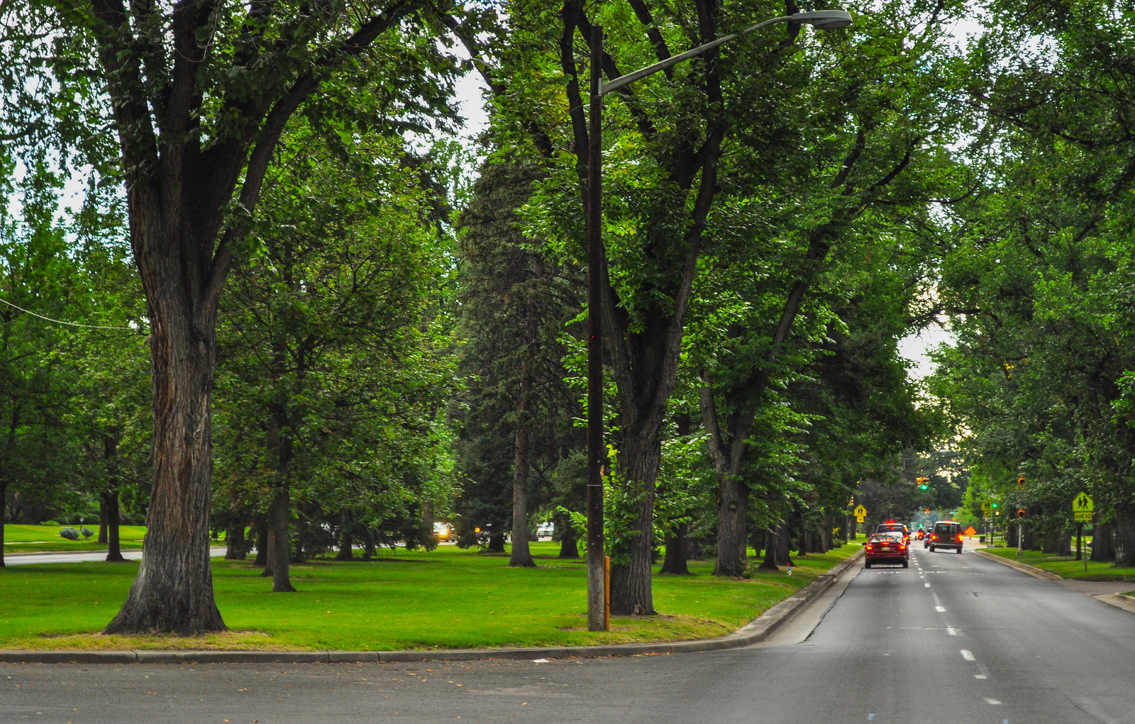
 View of the parkway separating north and south Monaco.
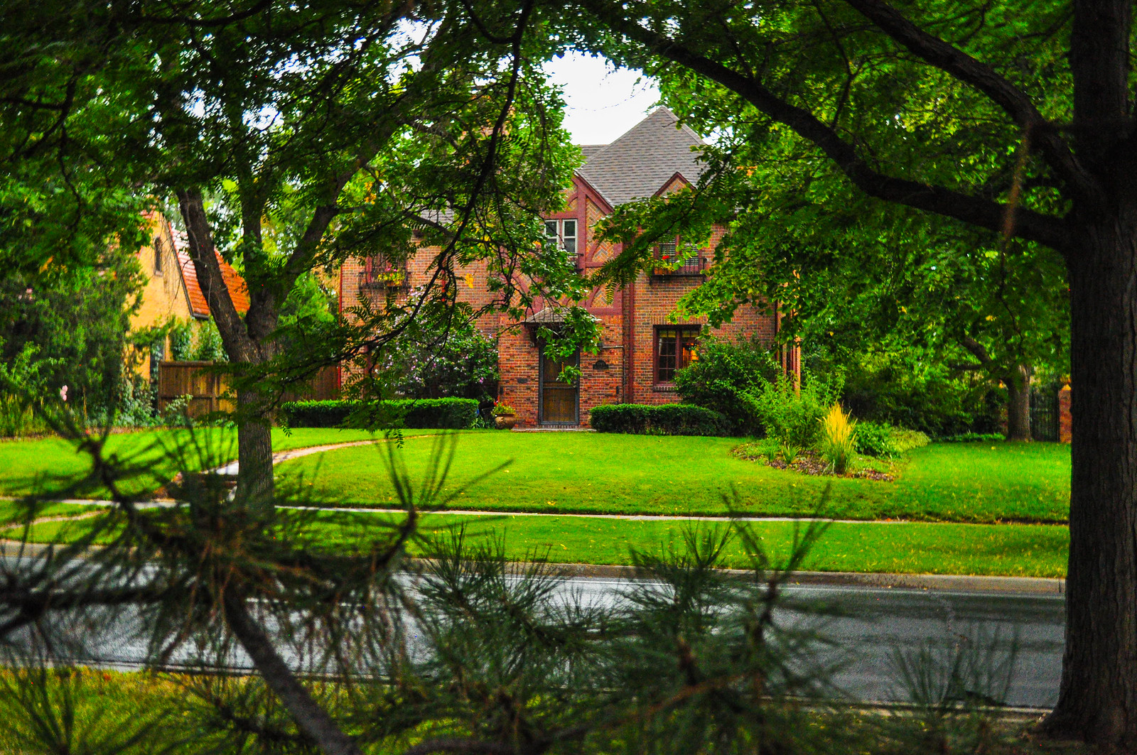
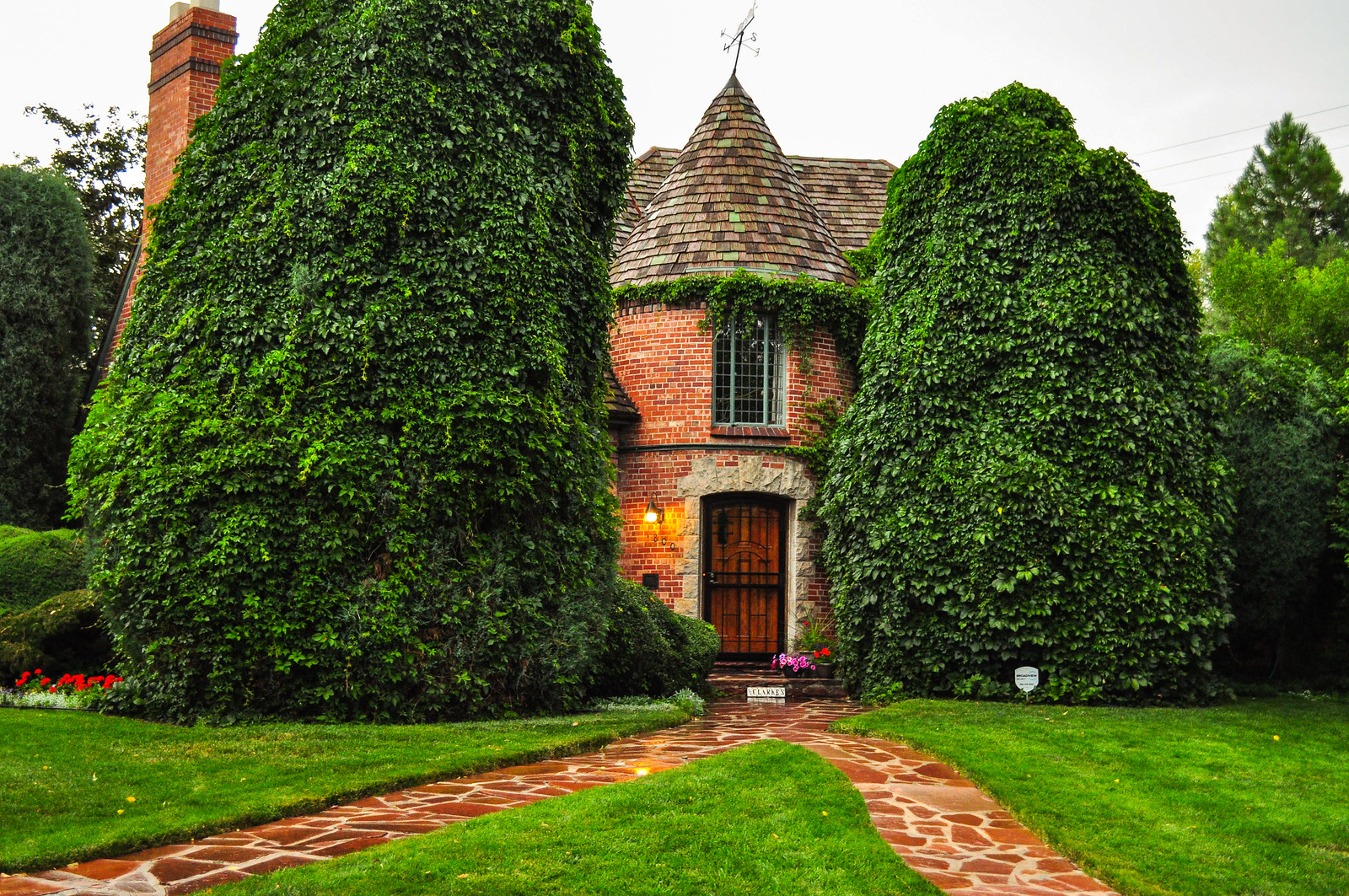
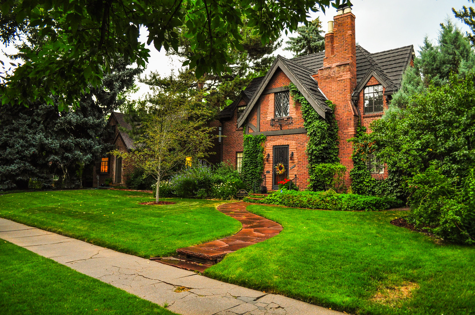
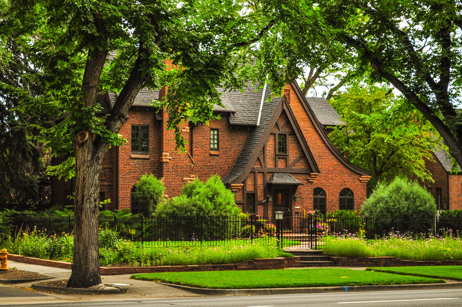
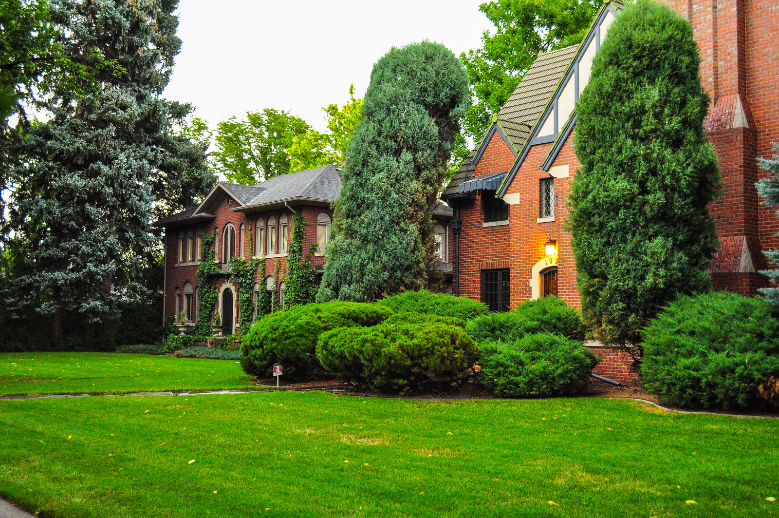 Near the intersection with 17th Ave. Parkway
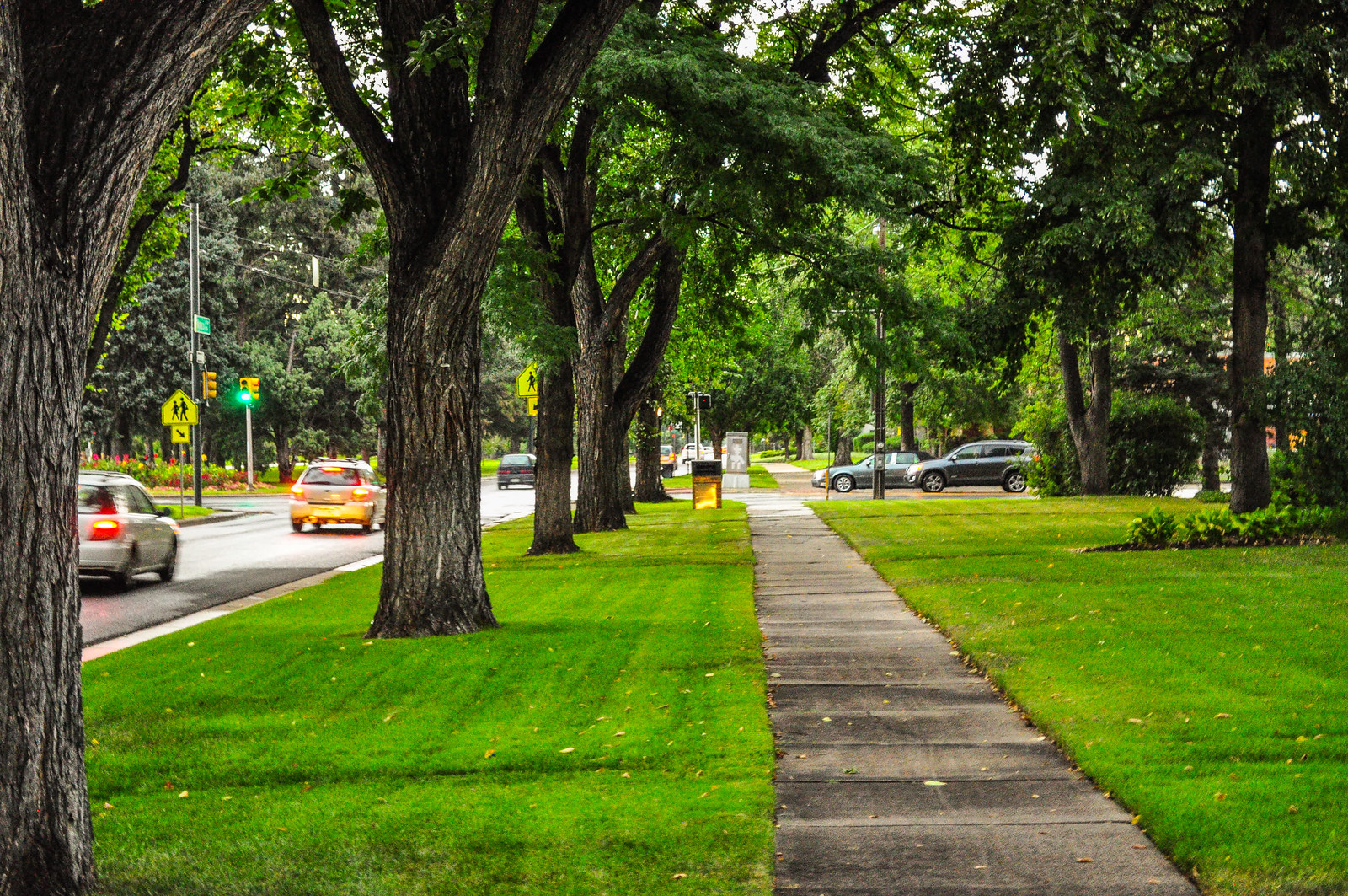
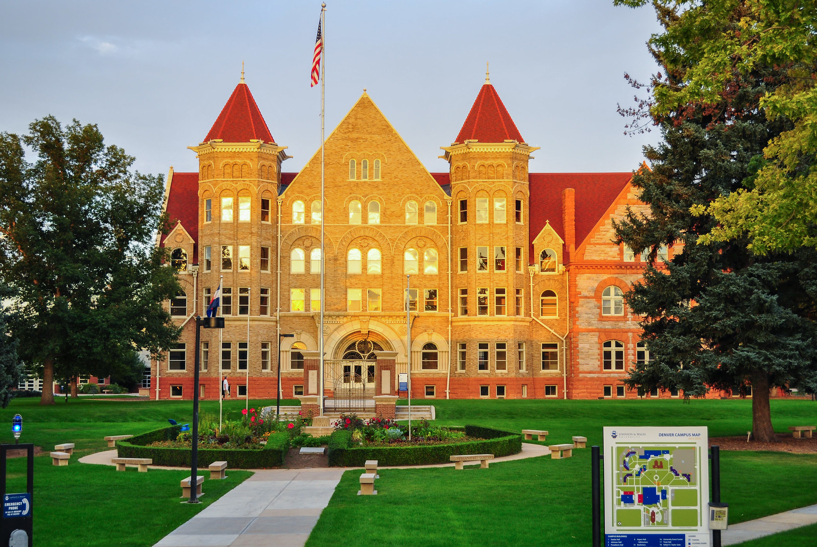
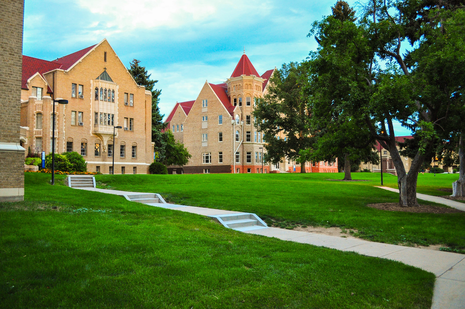
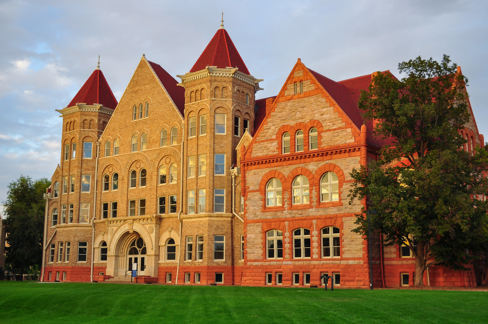
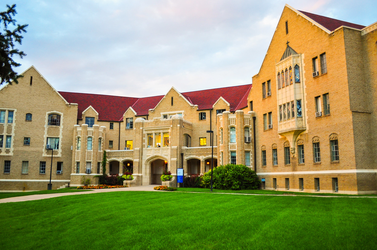
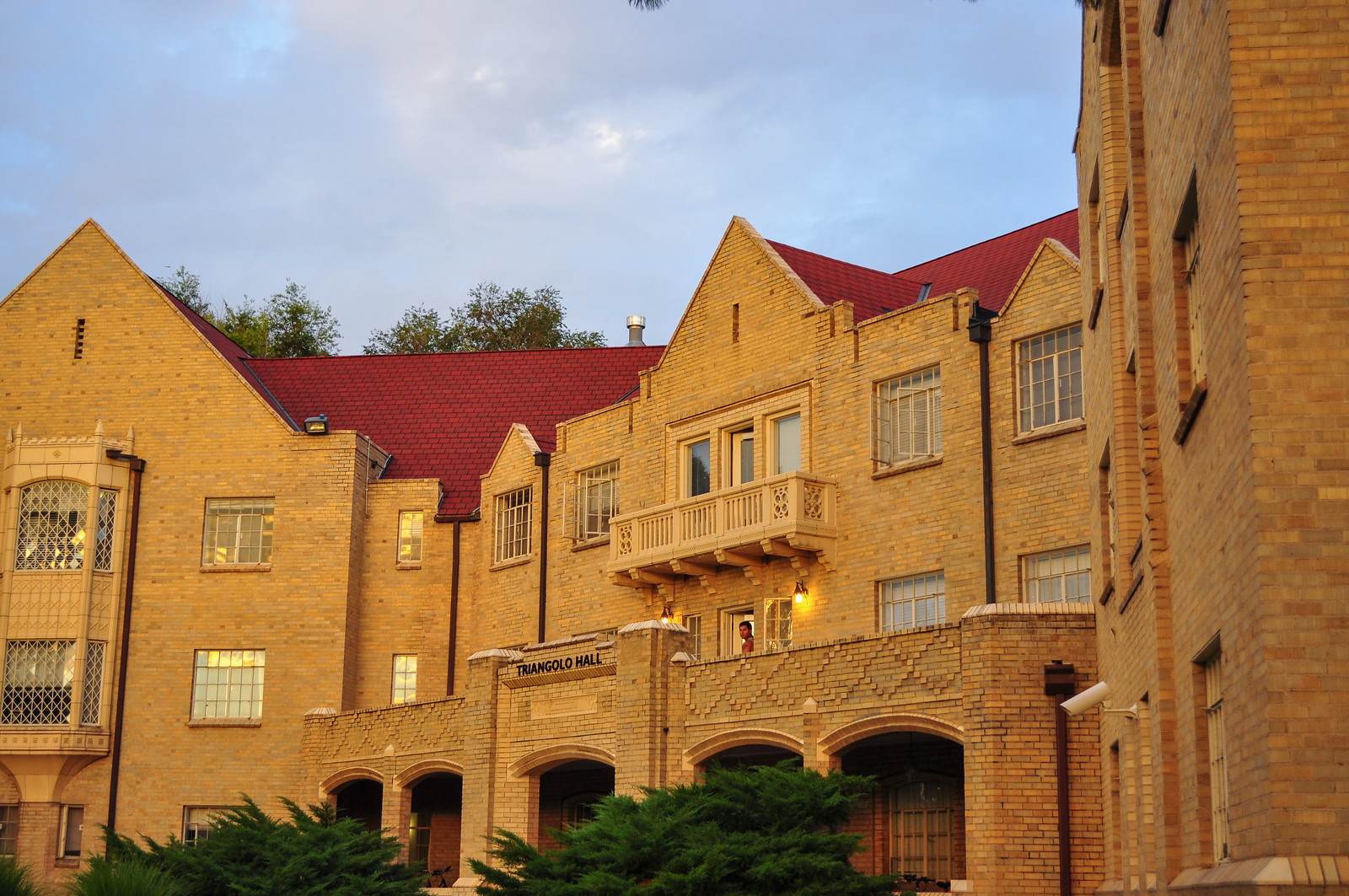
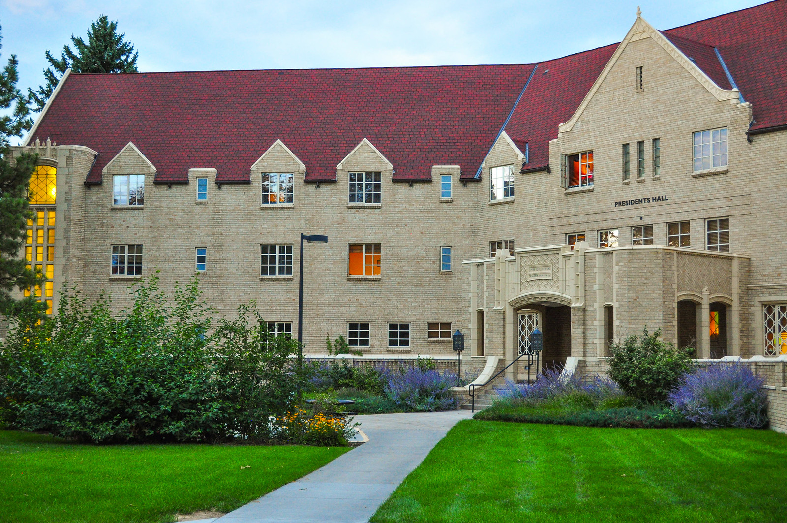
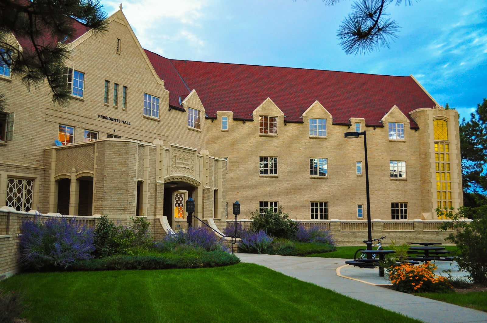
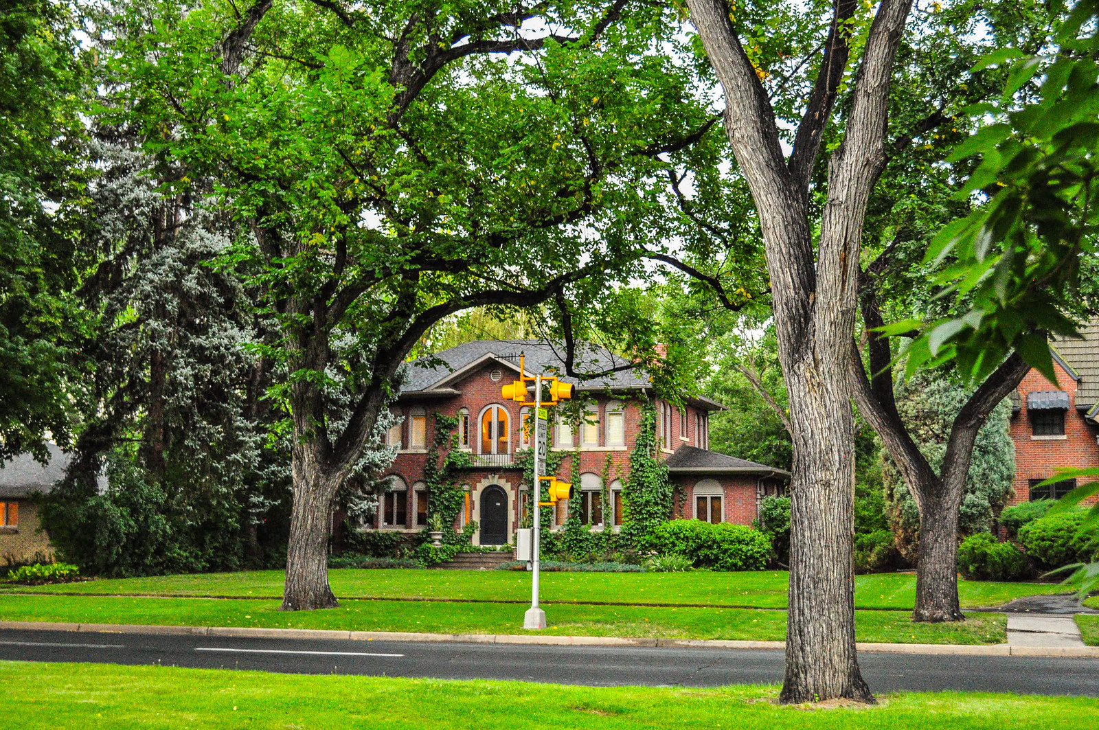 Johnson and Wales University. Originally Colorado Women’s College – 1909.
 Well, that’s been a not so quick look at Denver’s South Park Hill – Thanks for viewing! Next up Wash Park, or City Park, or Congress Park, or maybe Baker – Just not CheCre
  as there’s too much construction at the moment.
More Threads
Denver – Historic Cheesman Park Neighborhood
Denver - Odds and Ends
San Francisco
Denver Public Schools - Historic Architecture
Denver - Historic Five Points Neighborhood Part I
Mt. Evans Scenic Byway
Denver - Capitol Hill Neighborhood Part I as there’s too much construction at the moment.
More Threads
Denver – Historic Cheesman Park Neighborhood
Denver - Odds and Ends
San Francisco
Denver Public Schools - Historic Architecture
Denver - Historic Five Points Neighborhood Part I
Mt. Evans Scenic Byway
Denver - Capitol Hill Neighborhood Part I
Last edited by CPVLIVE; Jun 28, 2014 at 6:39 PM.
|




 Threaded Mode