HomeDiagramsDatabaseMapsForum About
     

Go Back   SkyscraperPage Forum > Photography Forums > General Photography


Thread Tools Display Modes
     
     
Prev Previous Post   Next Post Next
     
     
  #1  
Old Posted Jul 18, 2013, 1:23 AM
Sawtooth's Avatar
Sawtooth Sawtooth is offline
♏SeanTheBoiSean
 
Join Date: Mar 2006
Location: Northend Historic District, Boise
Posts: 4,272
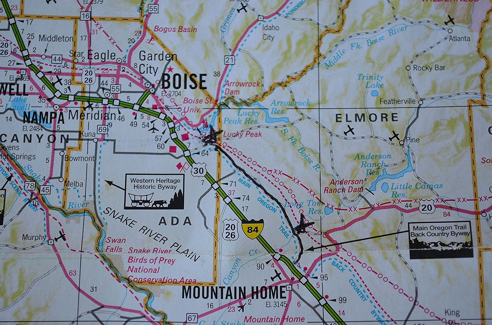
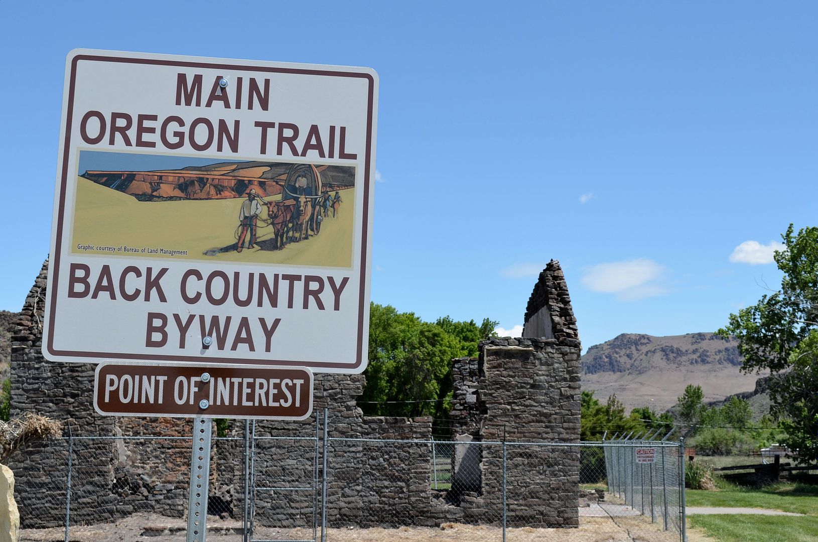
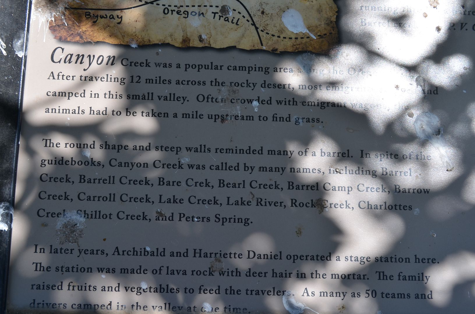
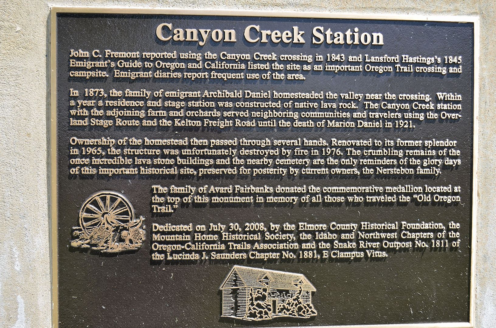
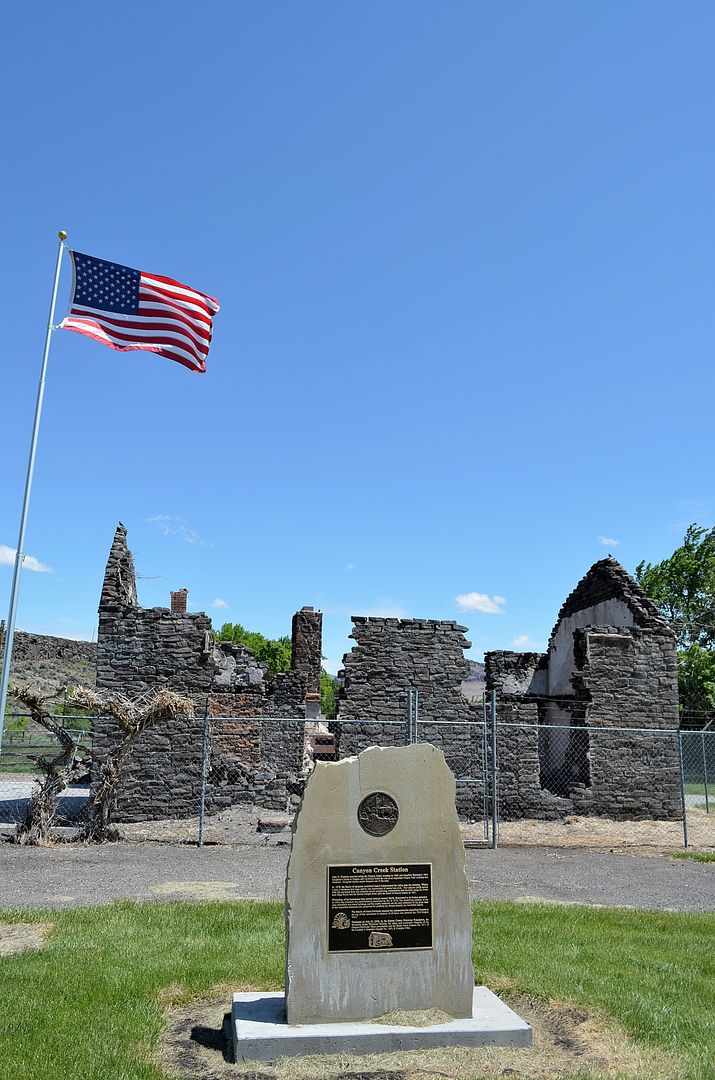
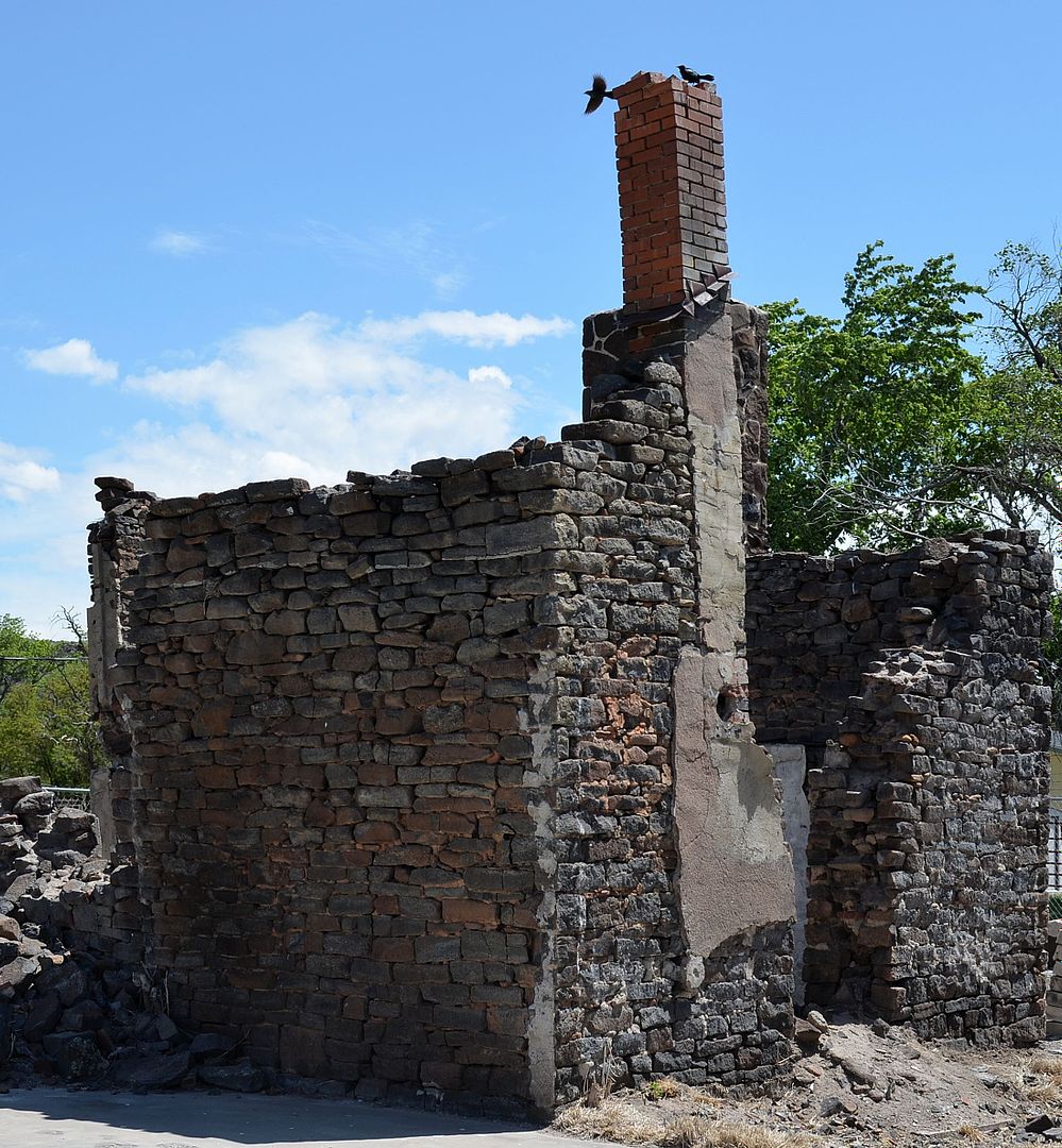
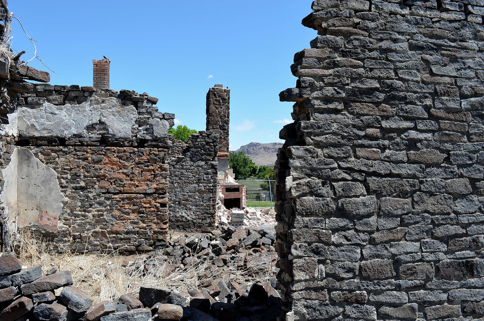
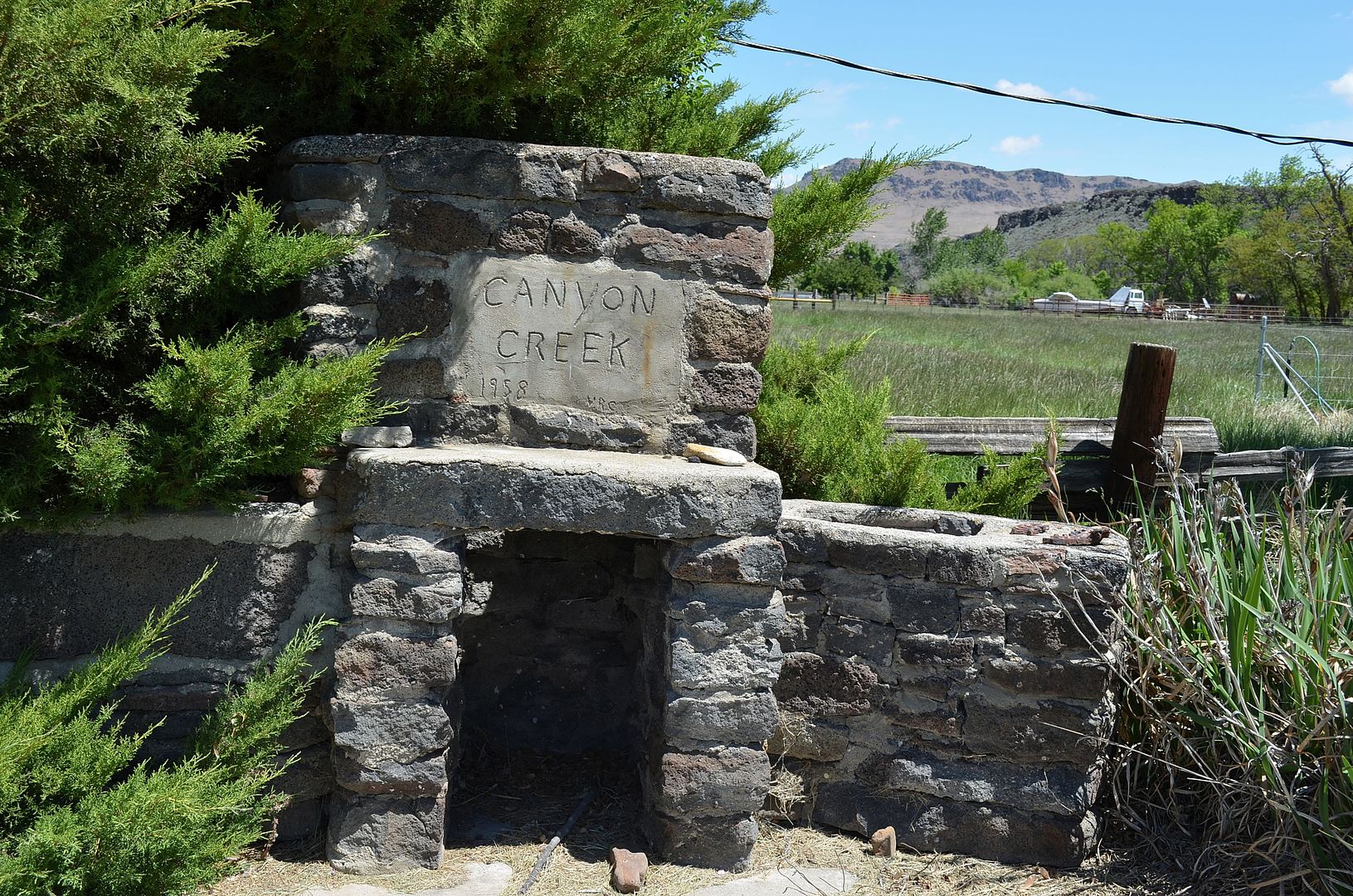
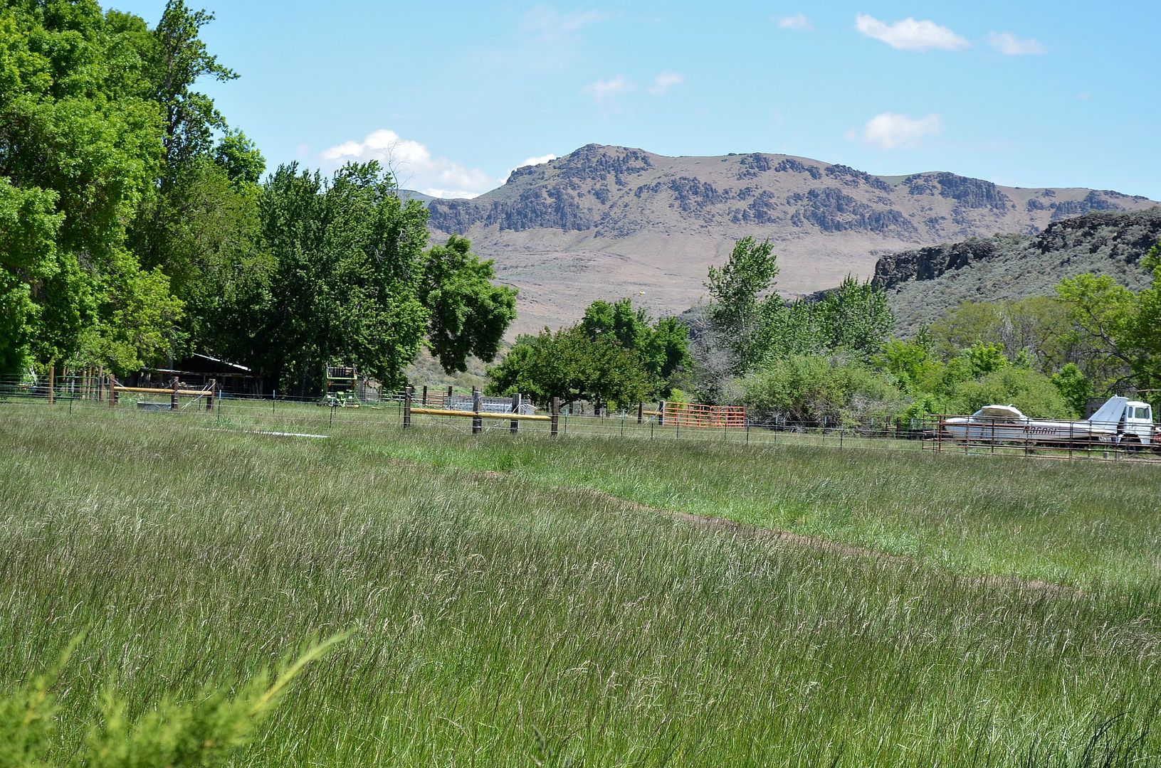
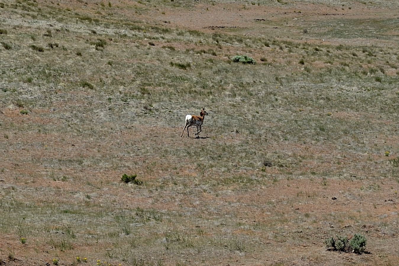
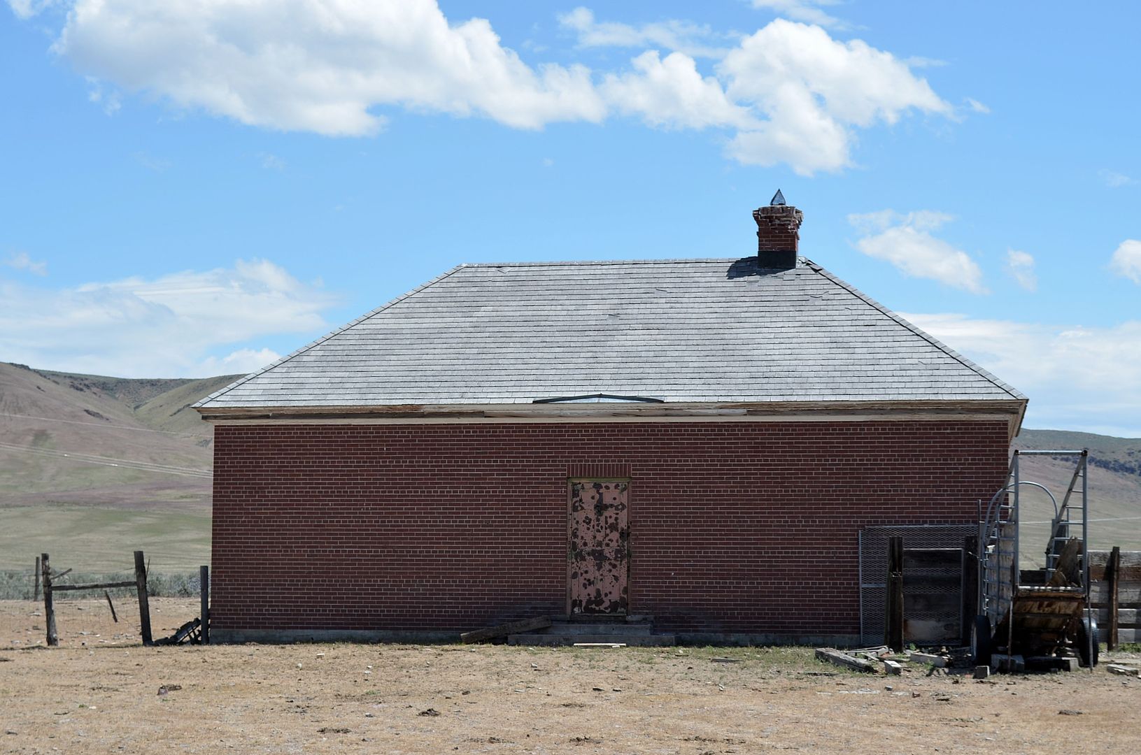
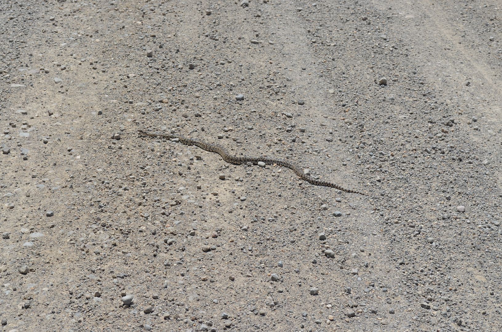
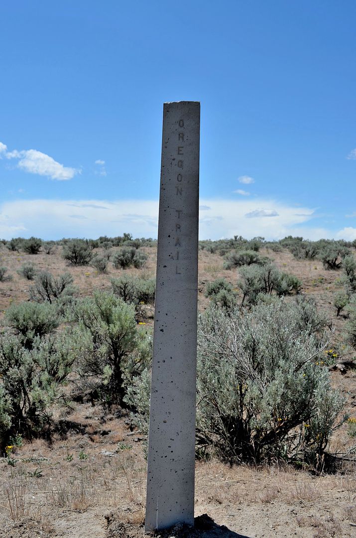
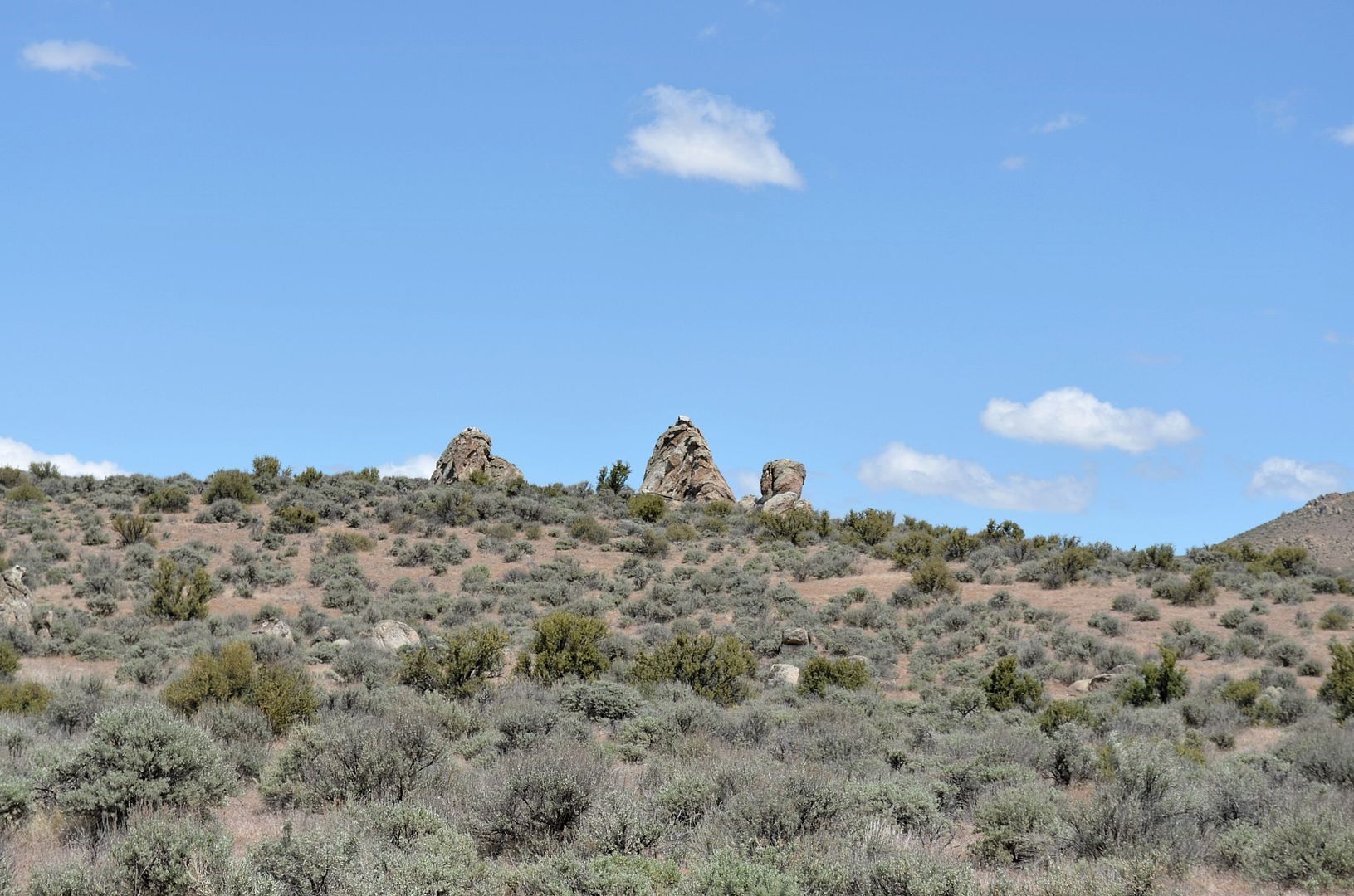
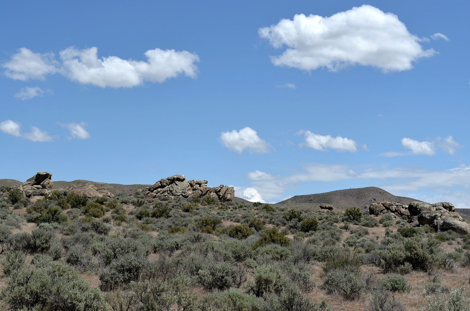
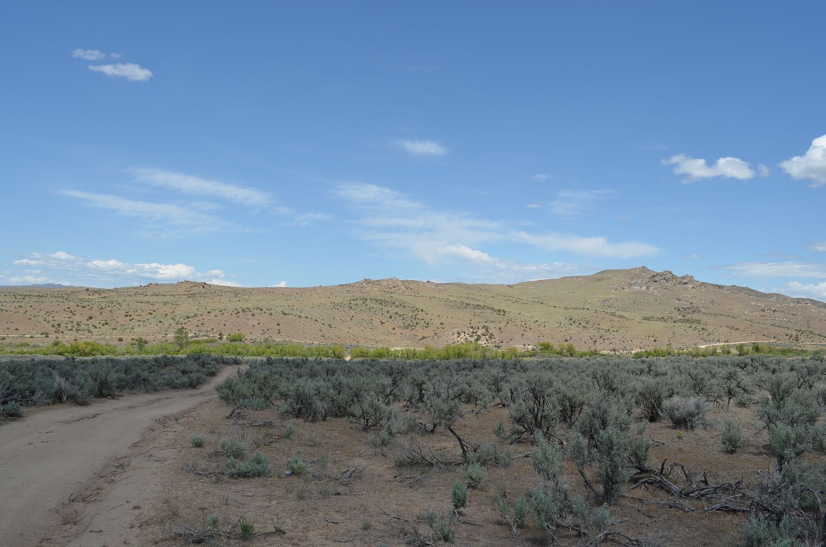
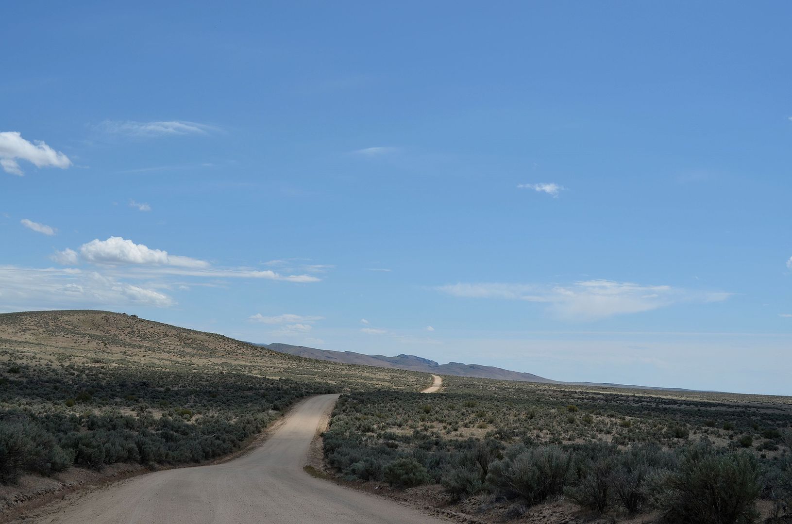
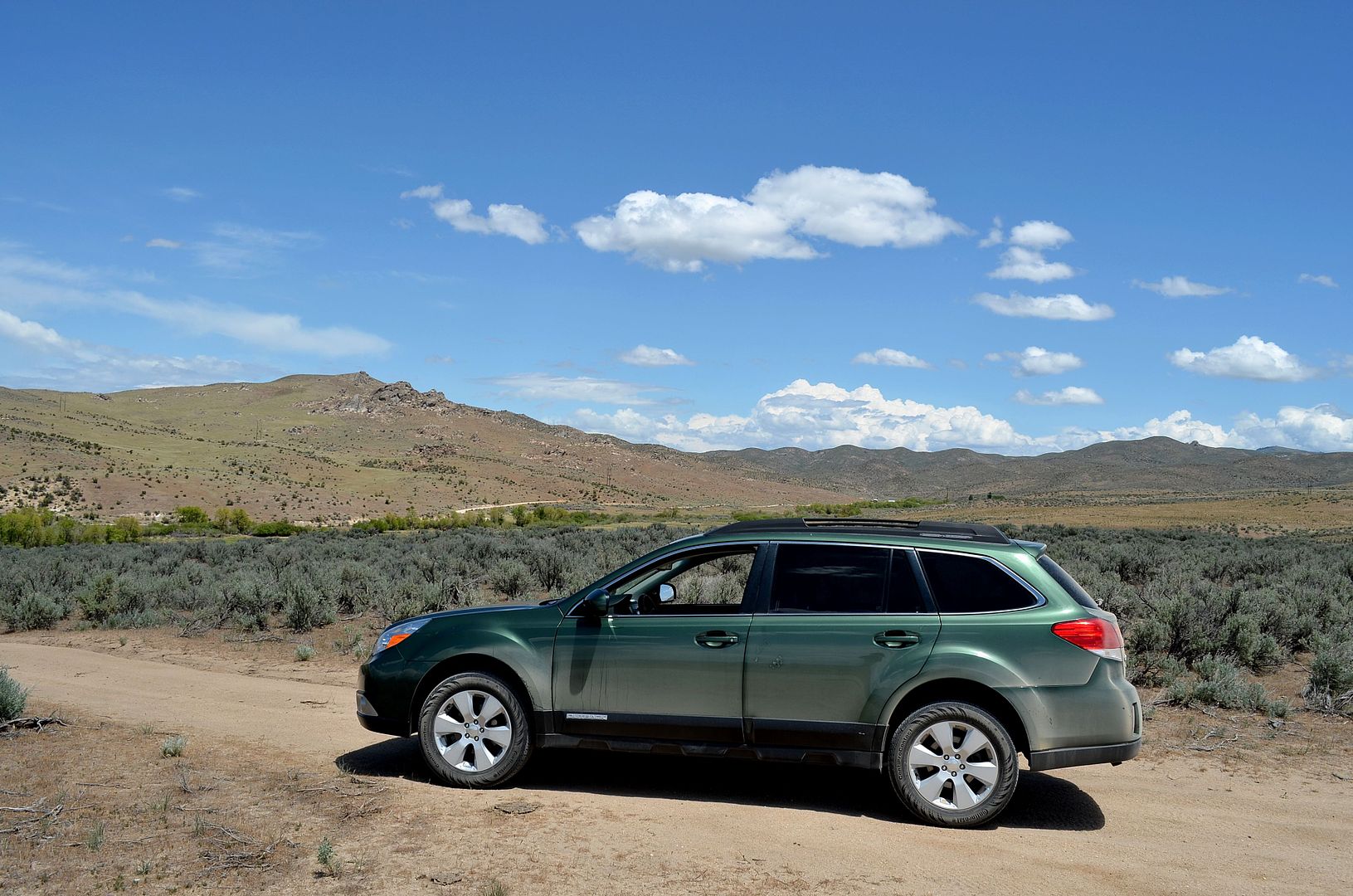
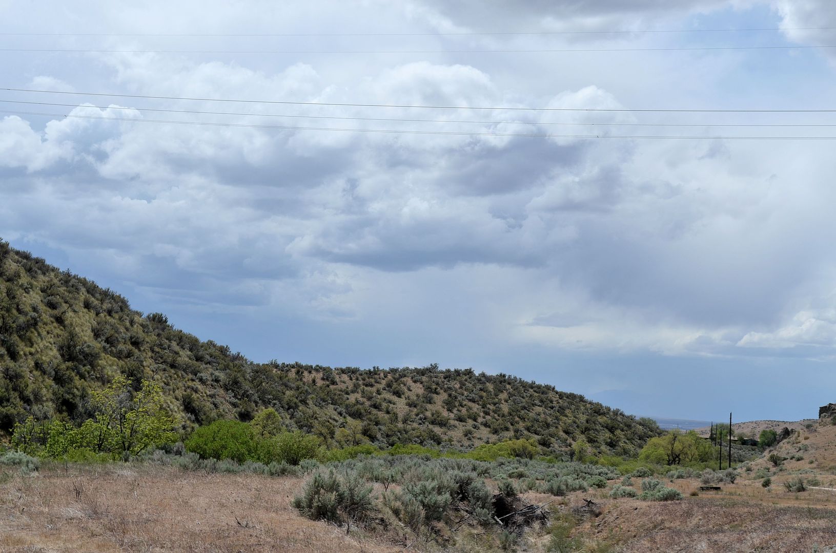
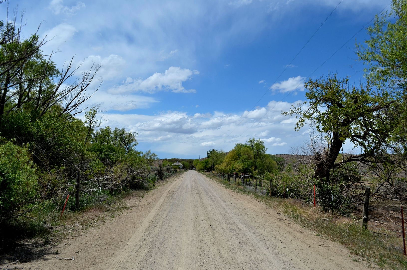
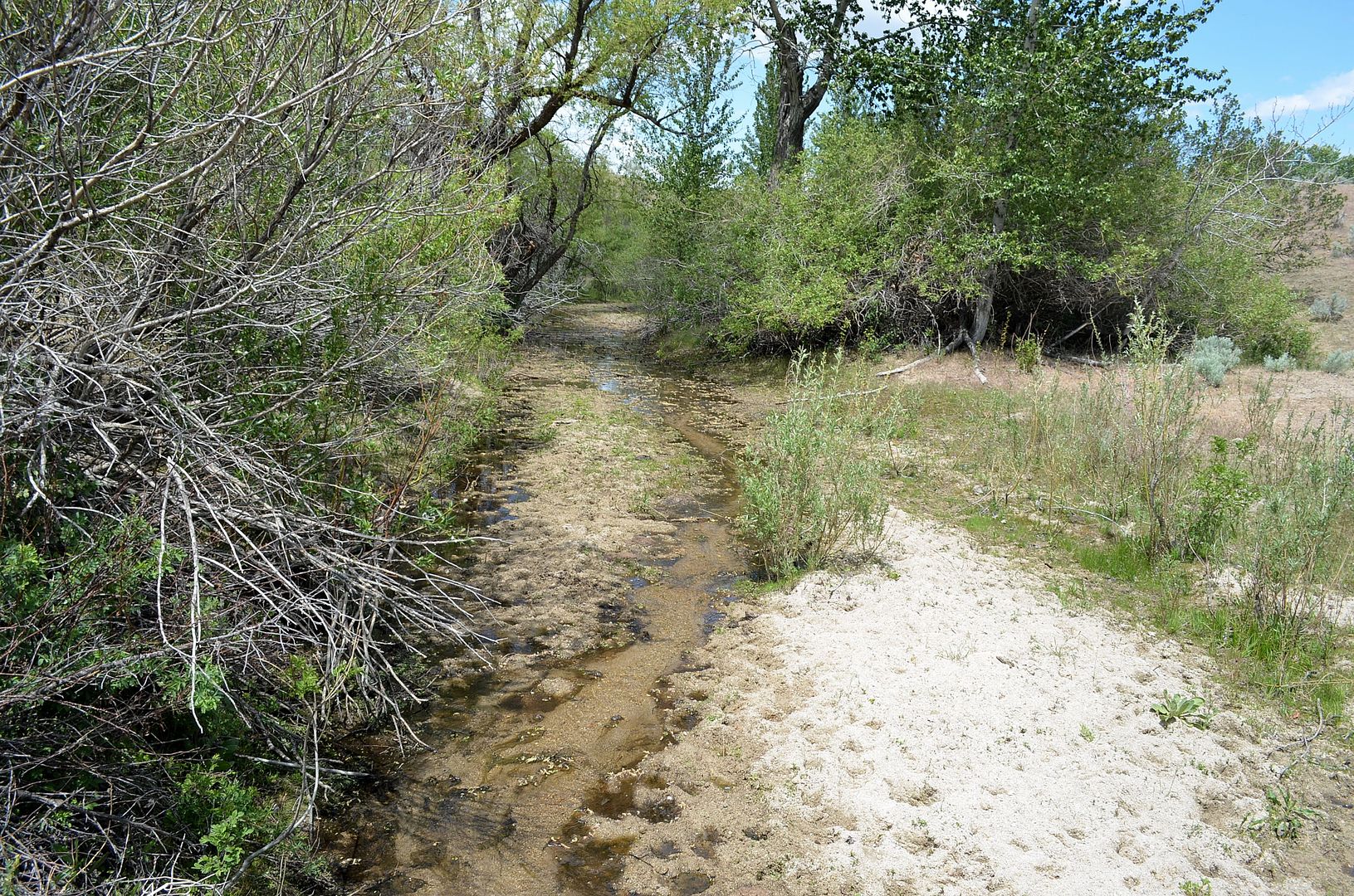
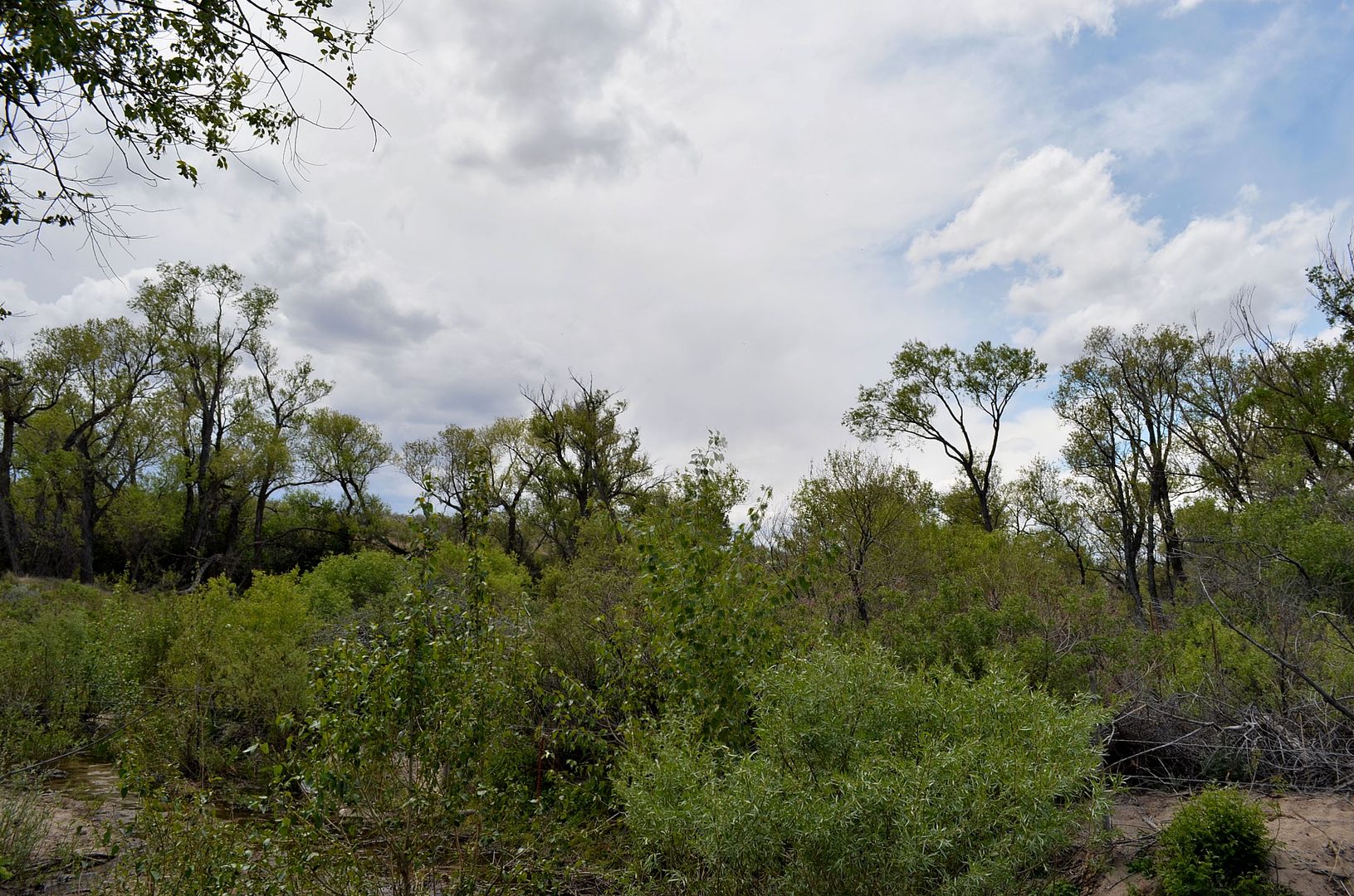
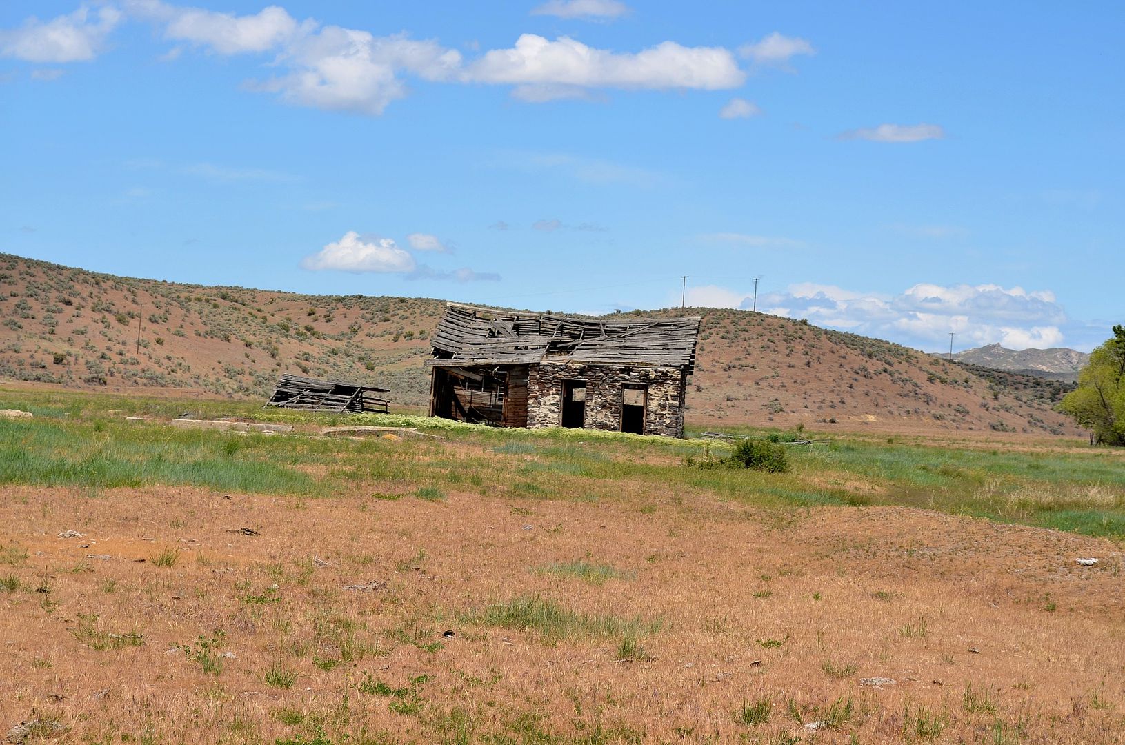
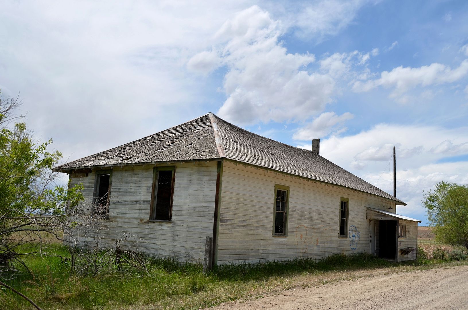
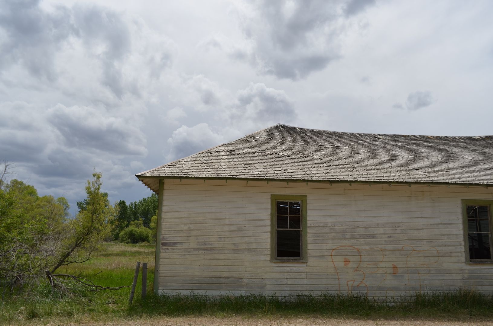
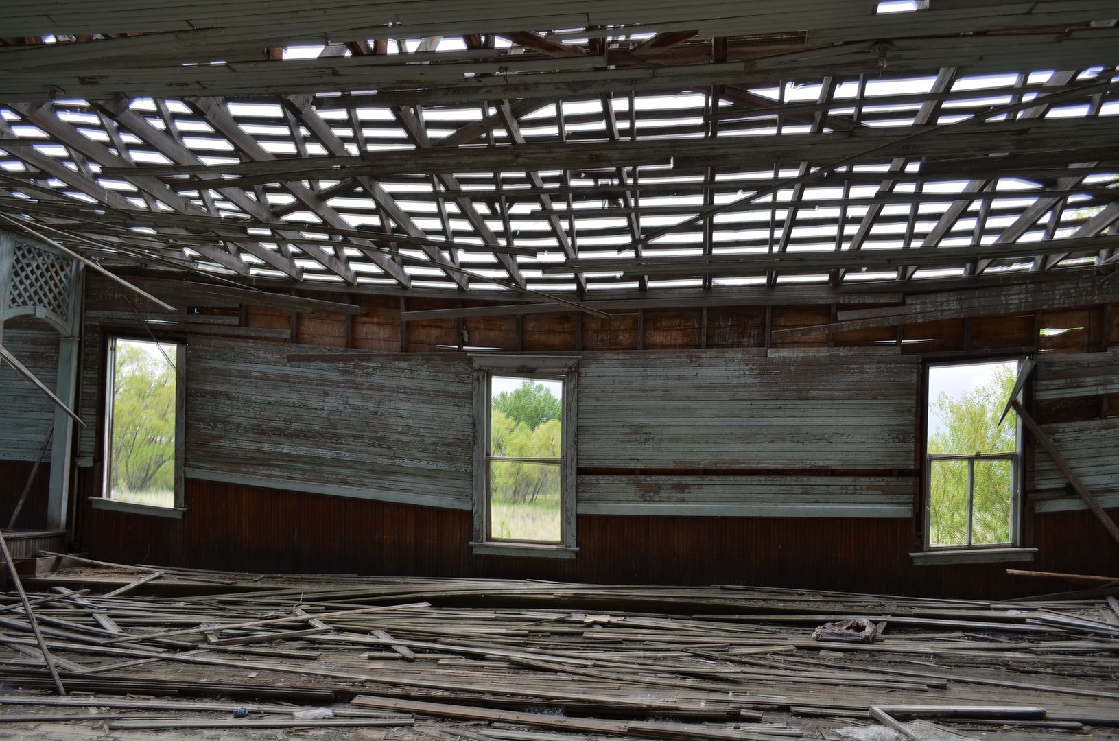
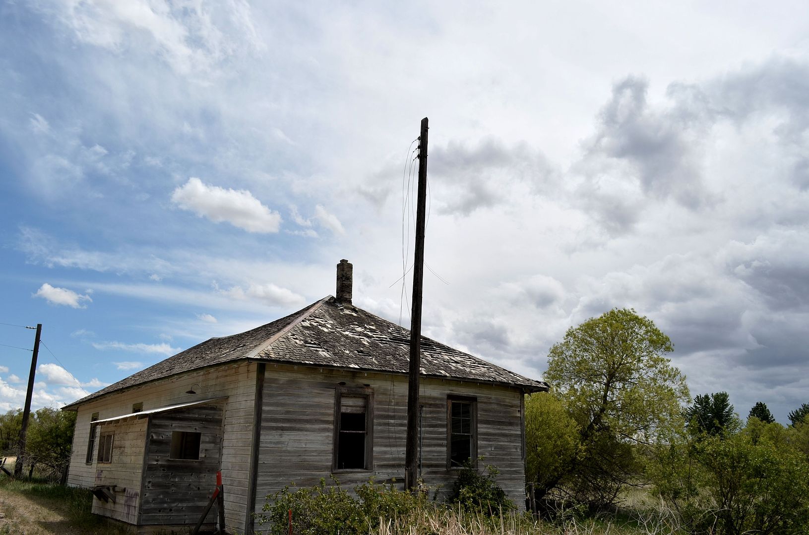
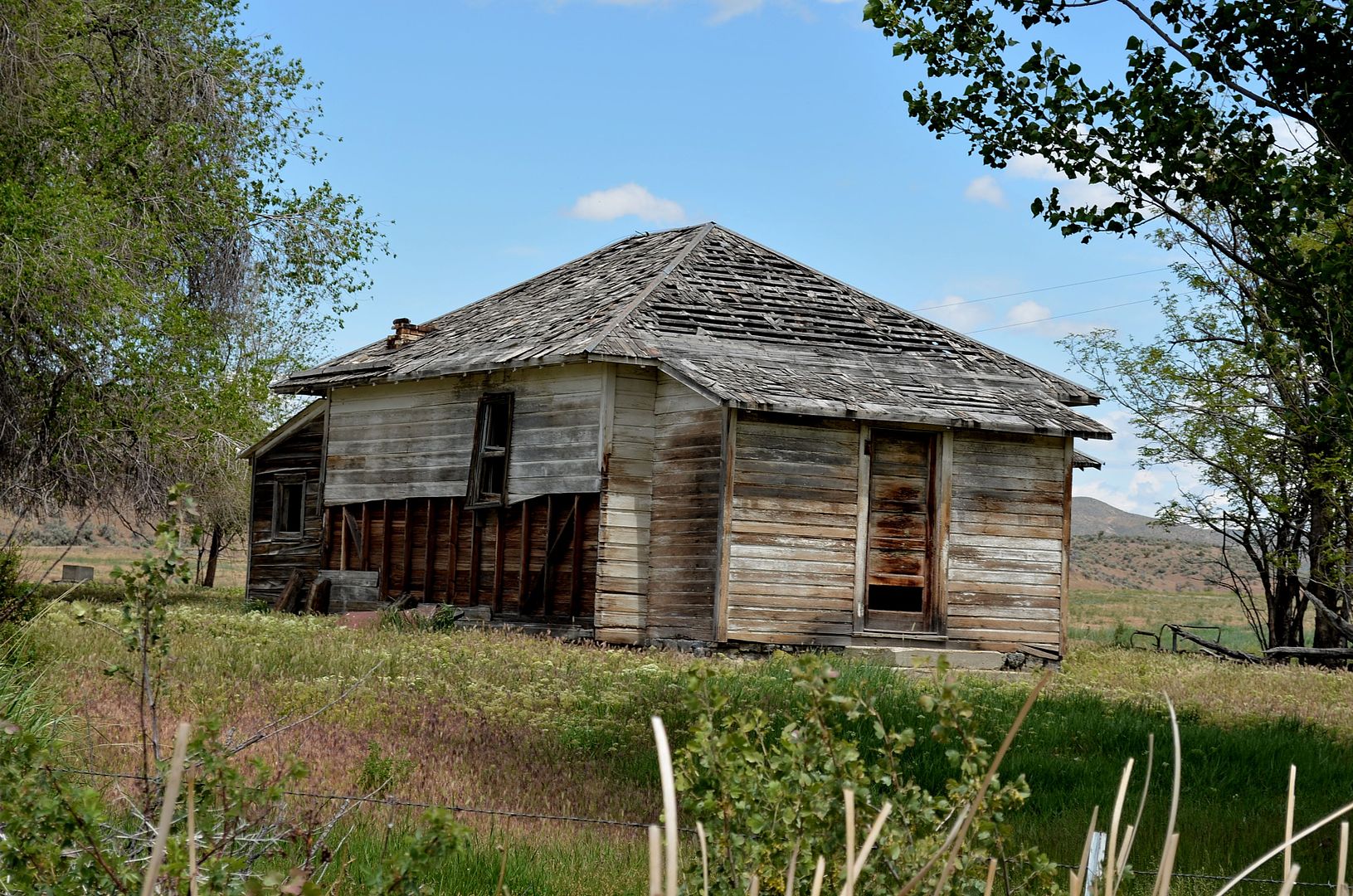
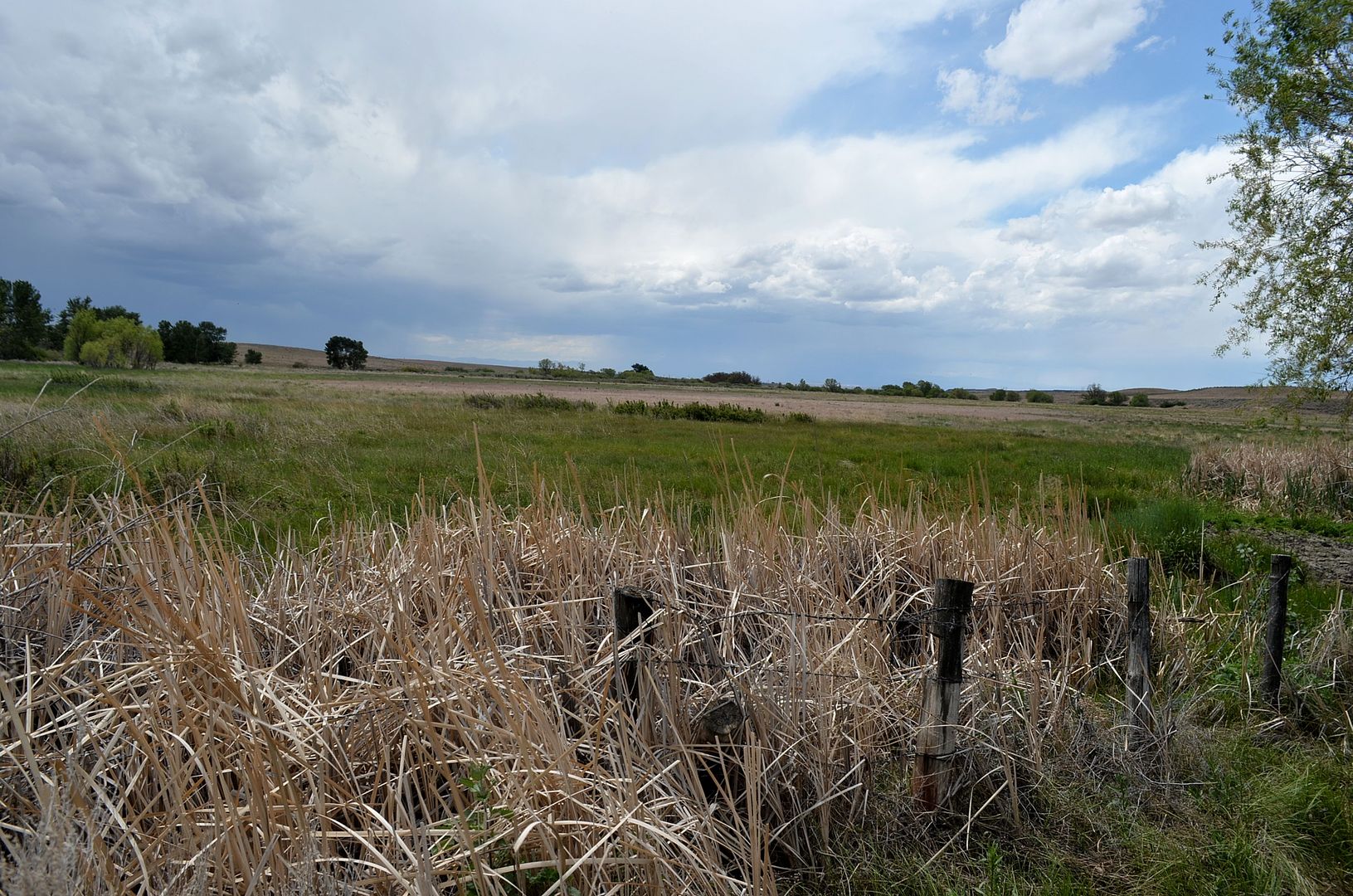
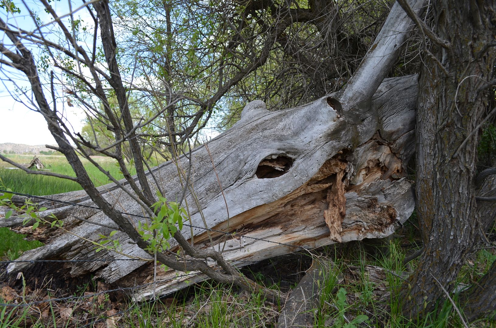
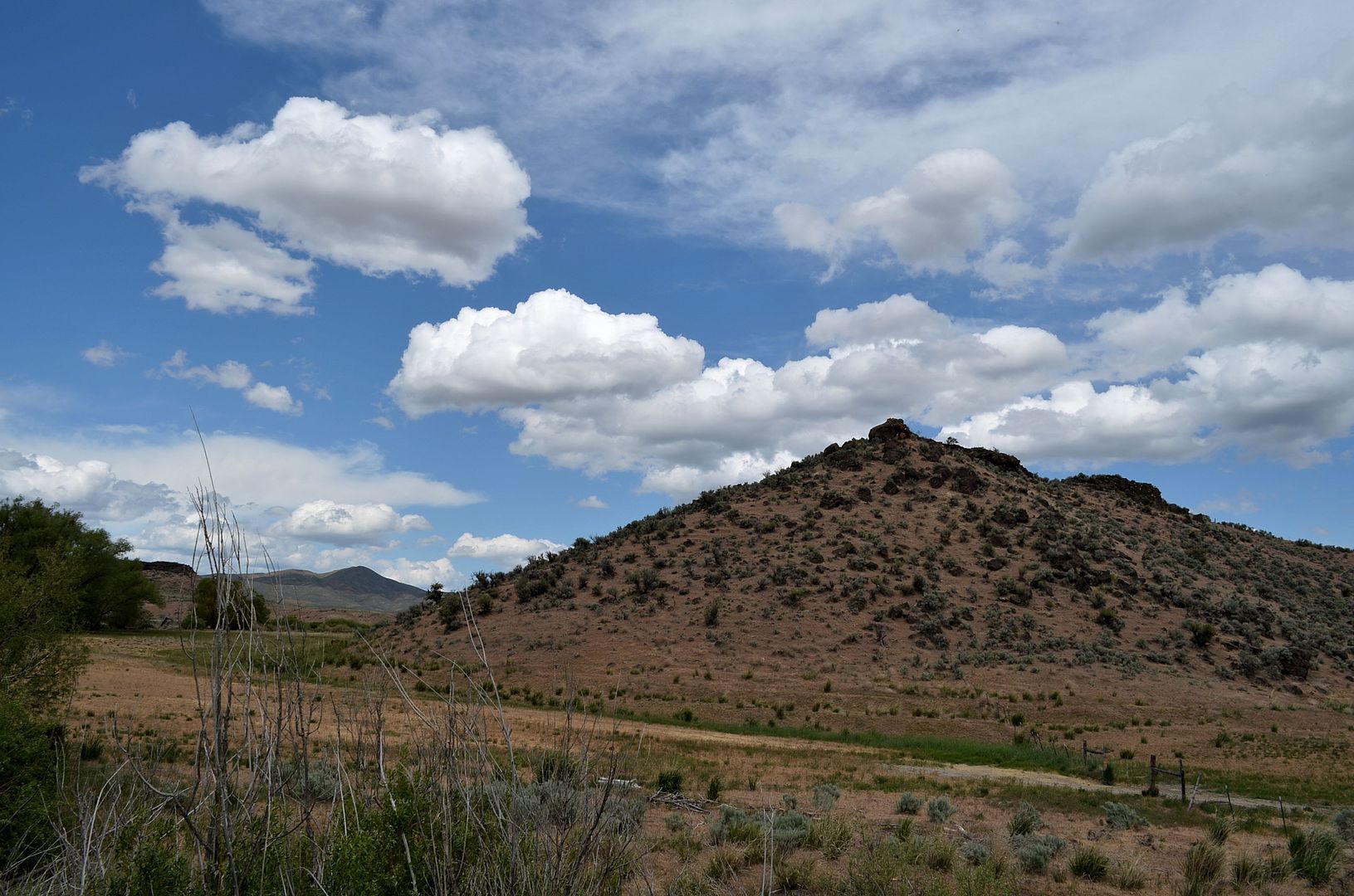
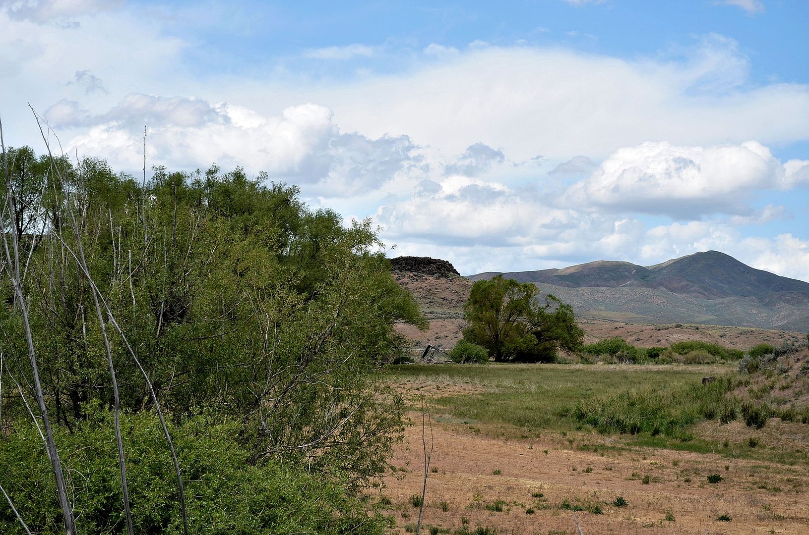
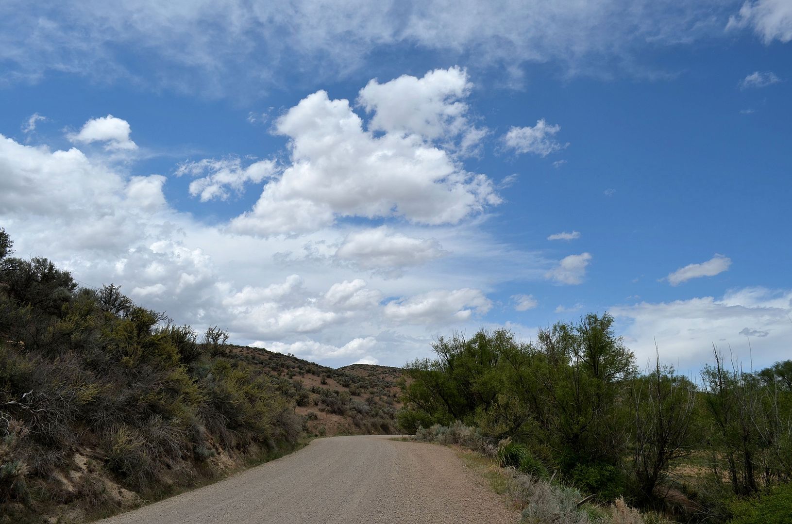
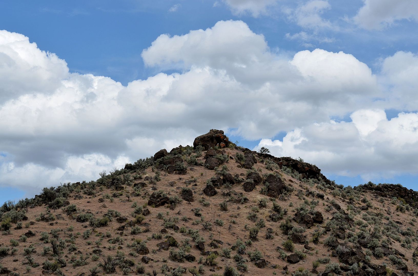
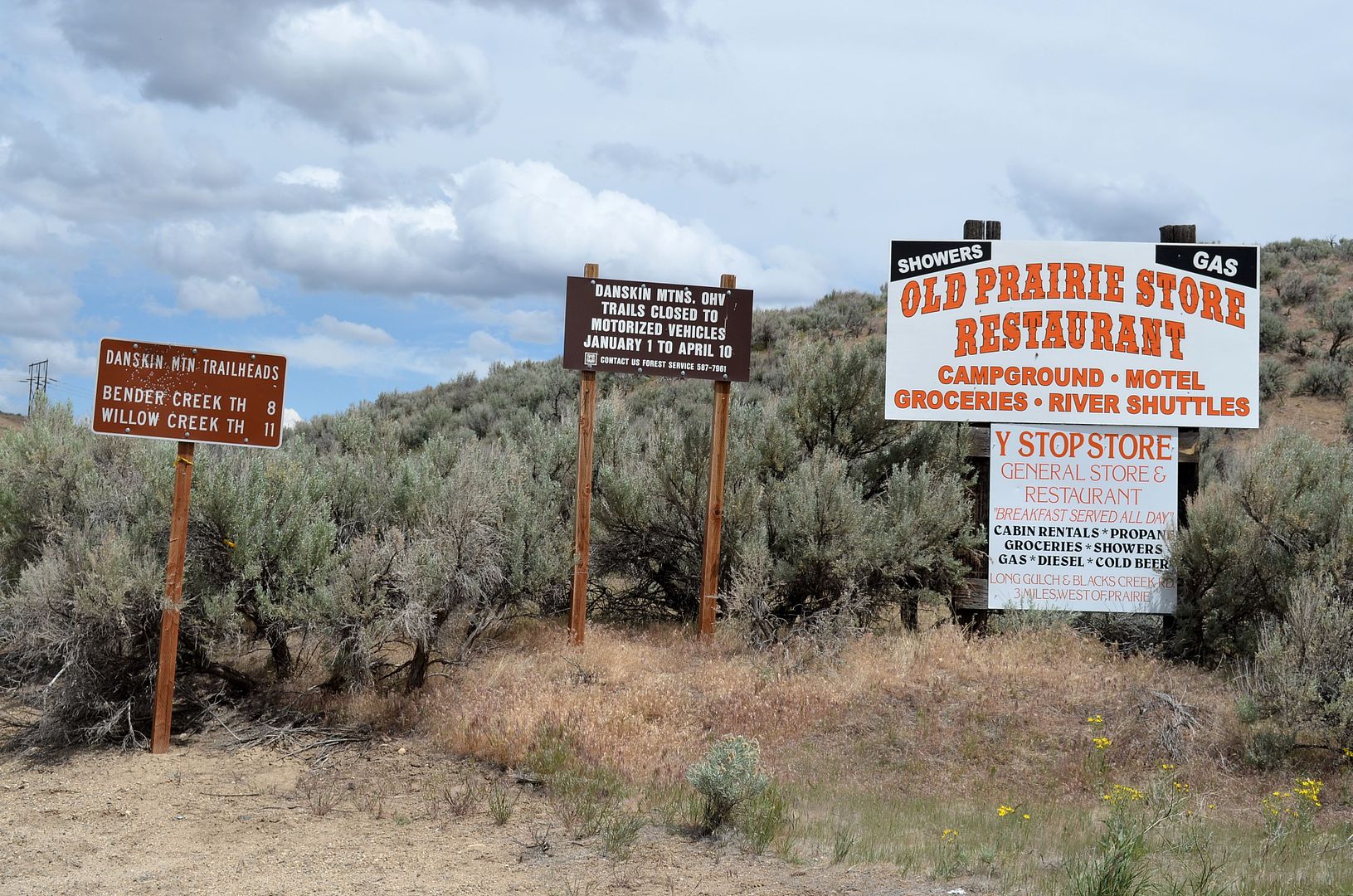
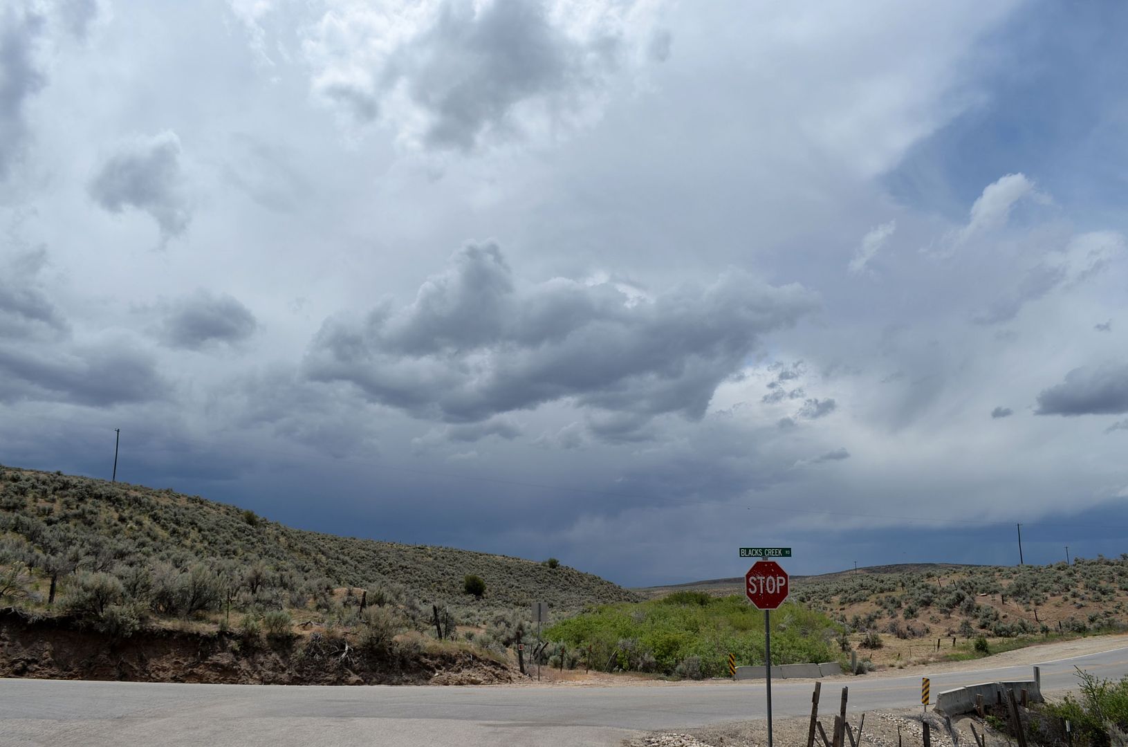
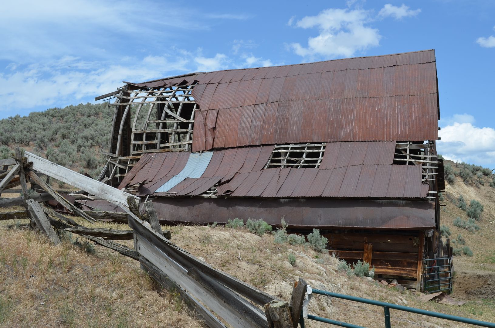
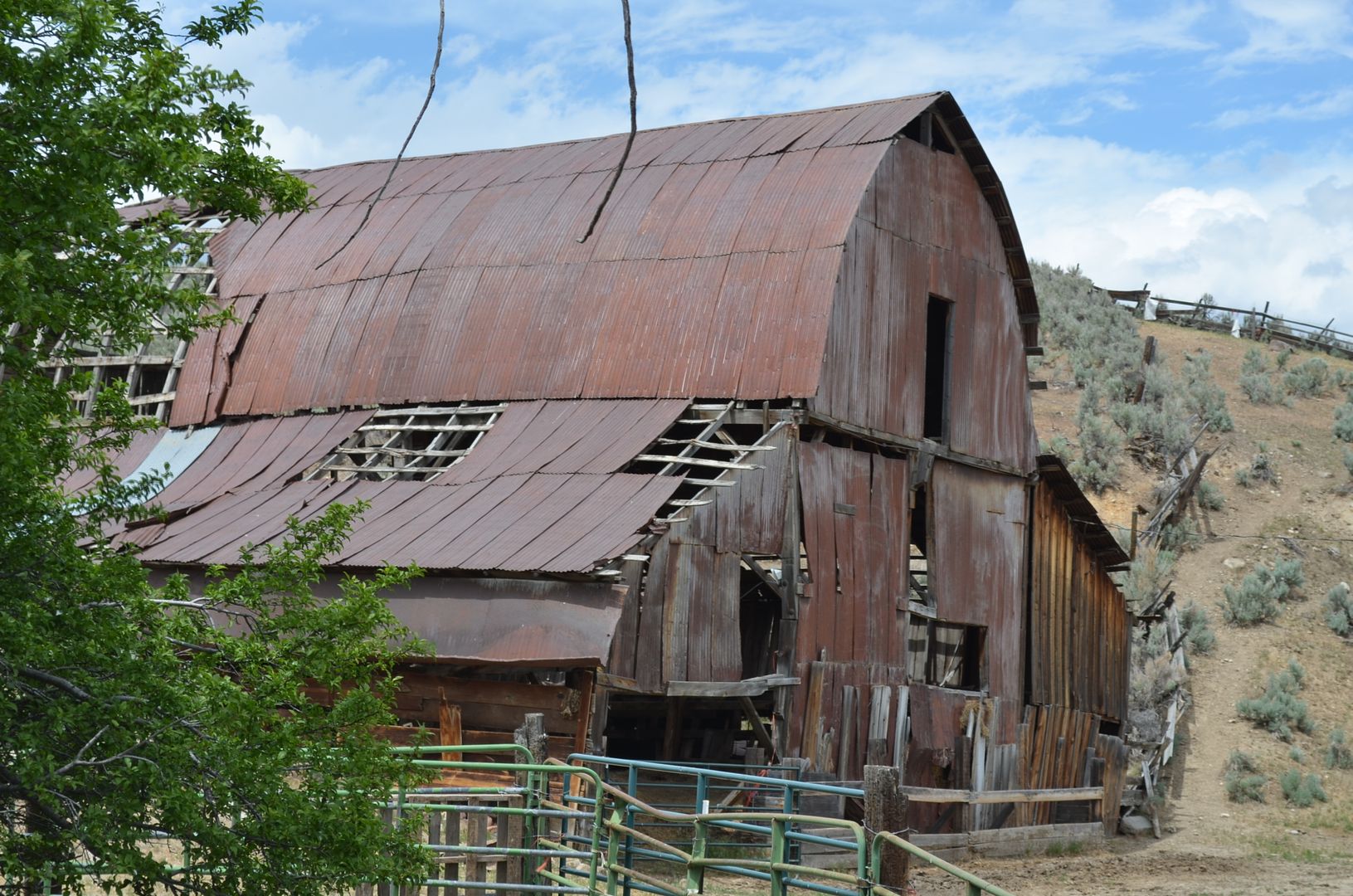
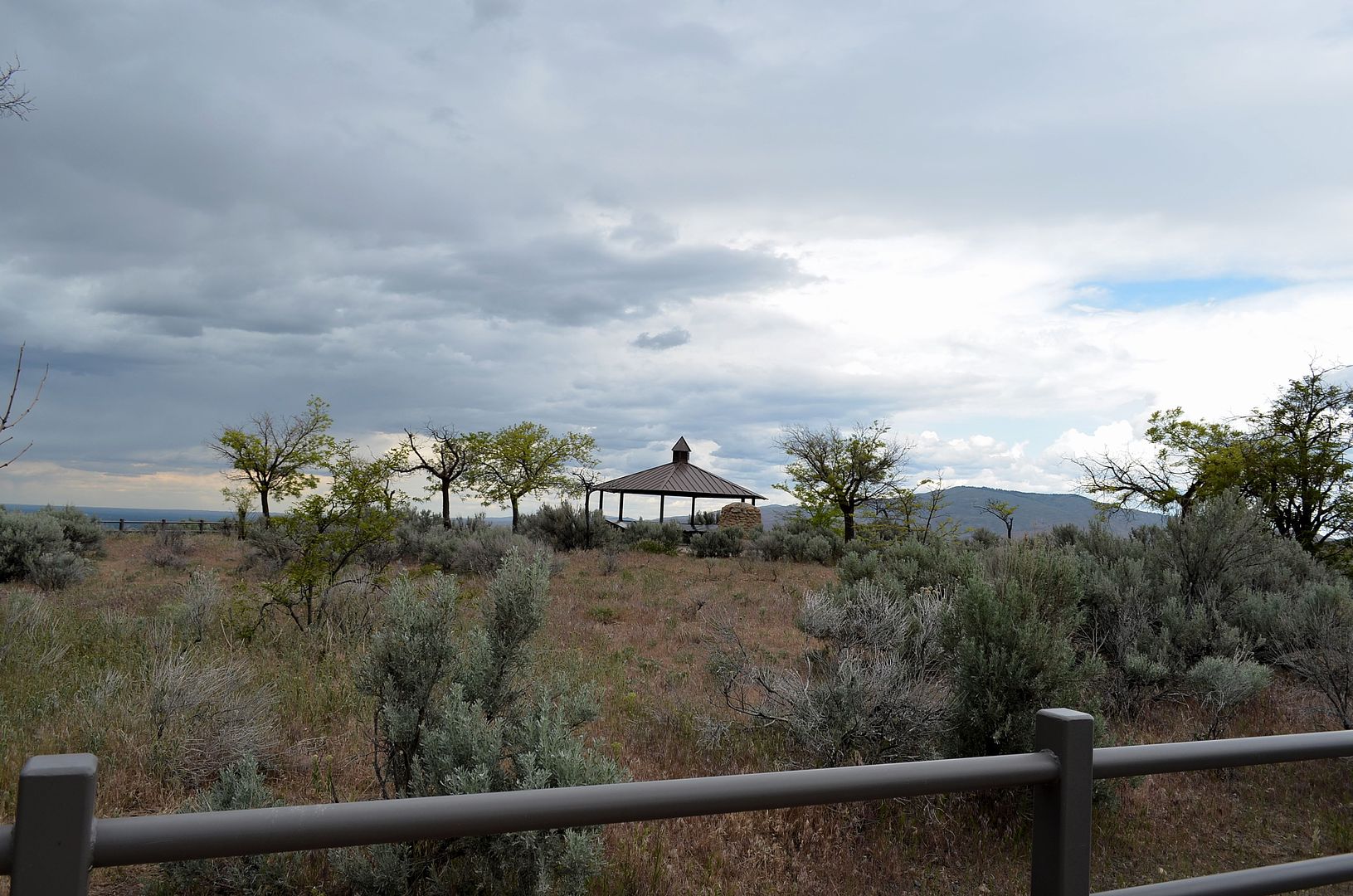
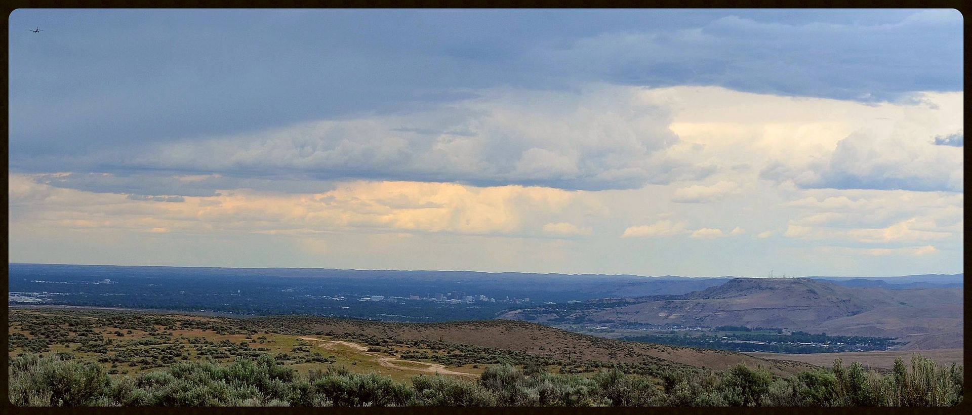
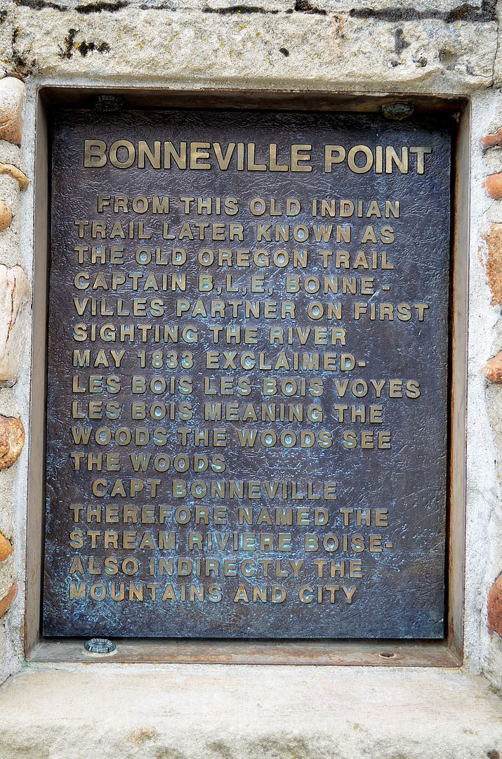
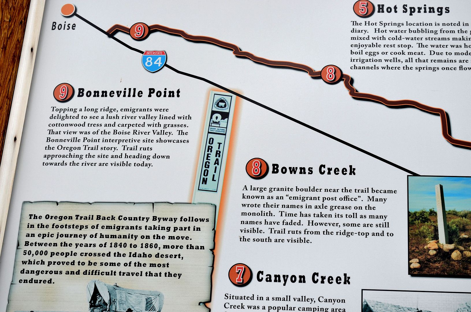
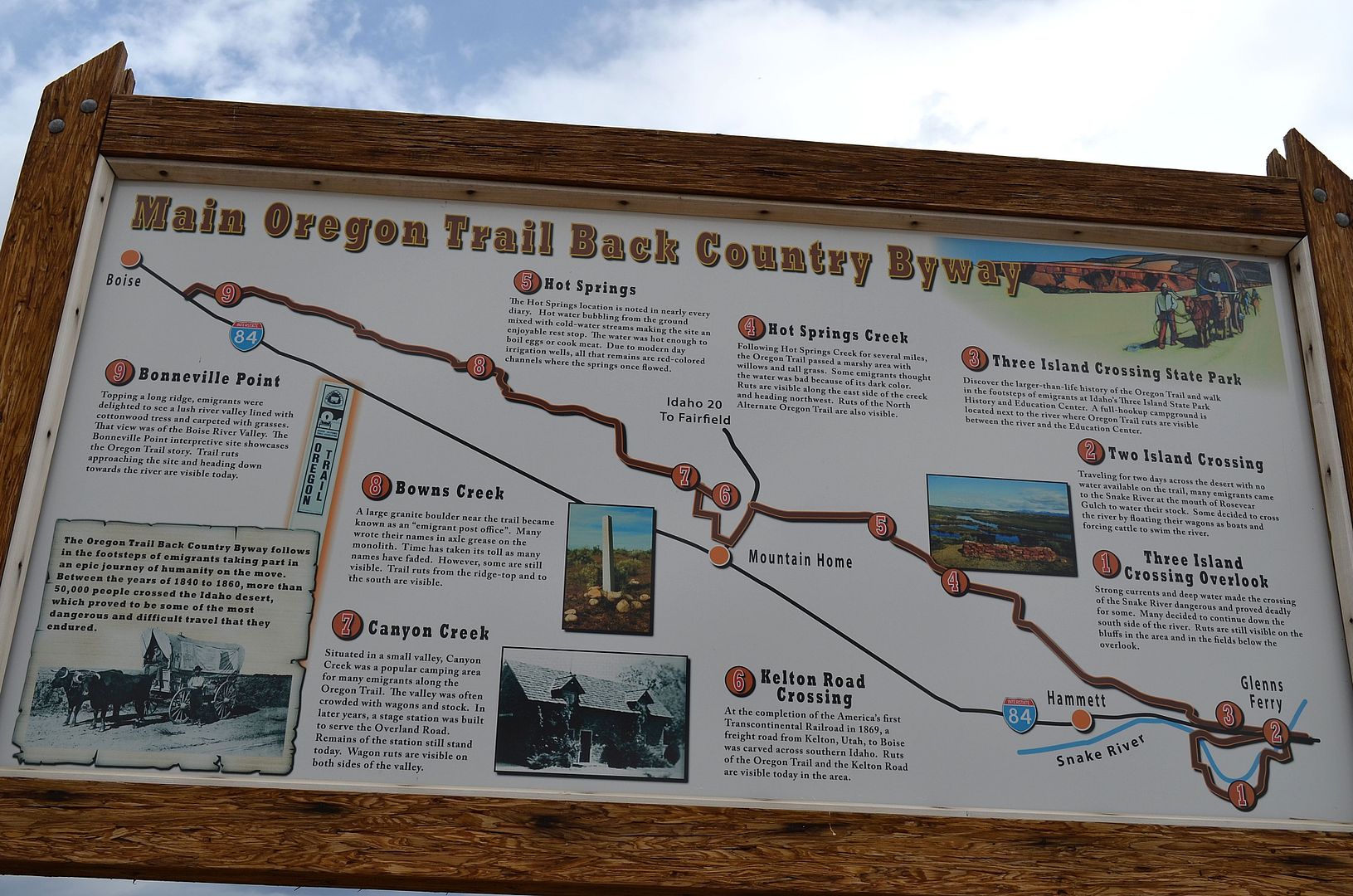
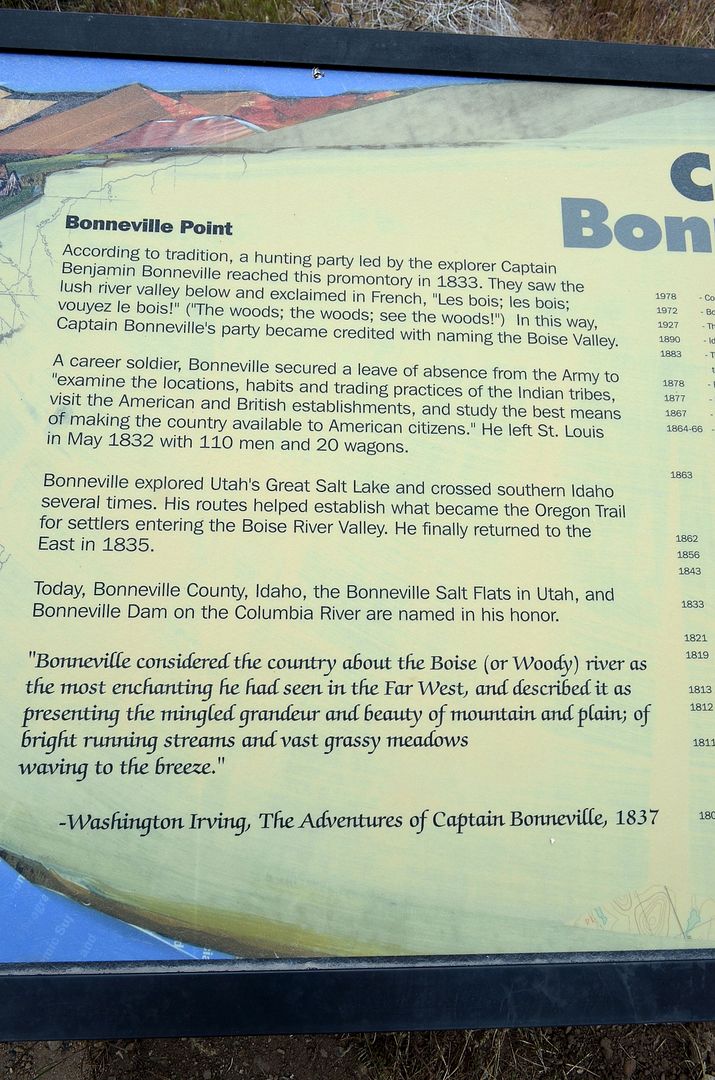
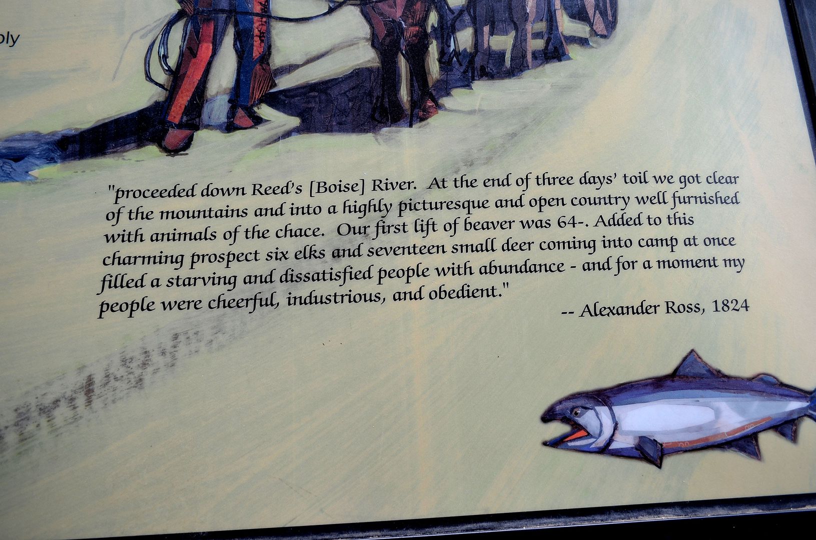
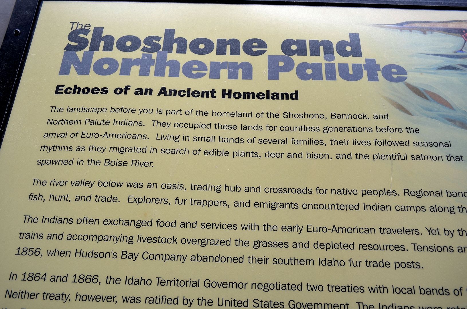
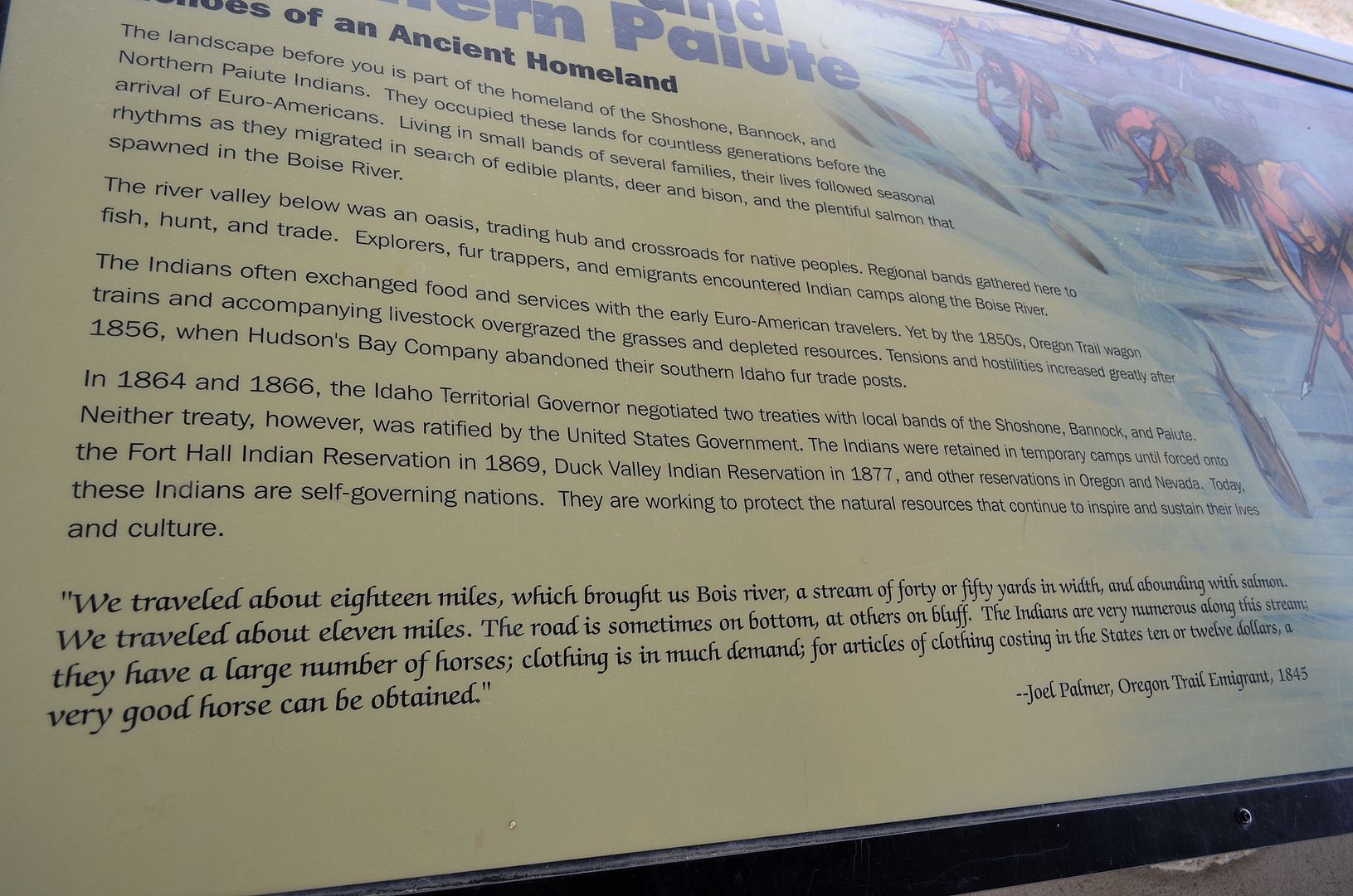
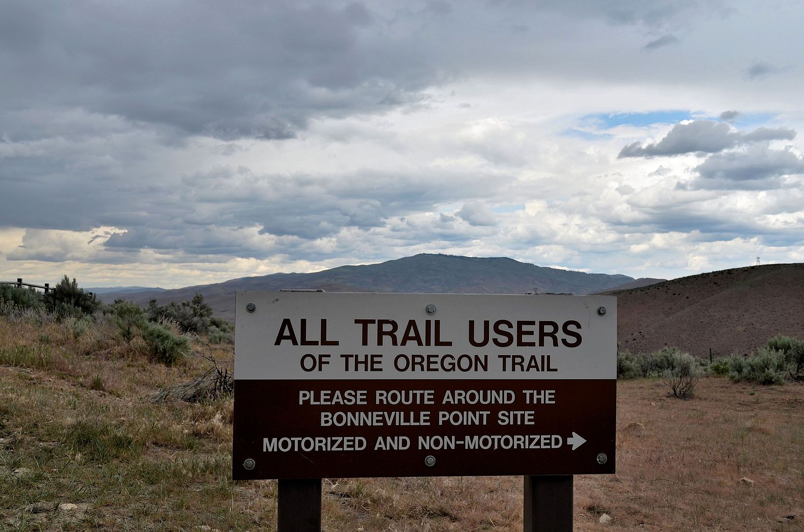
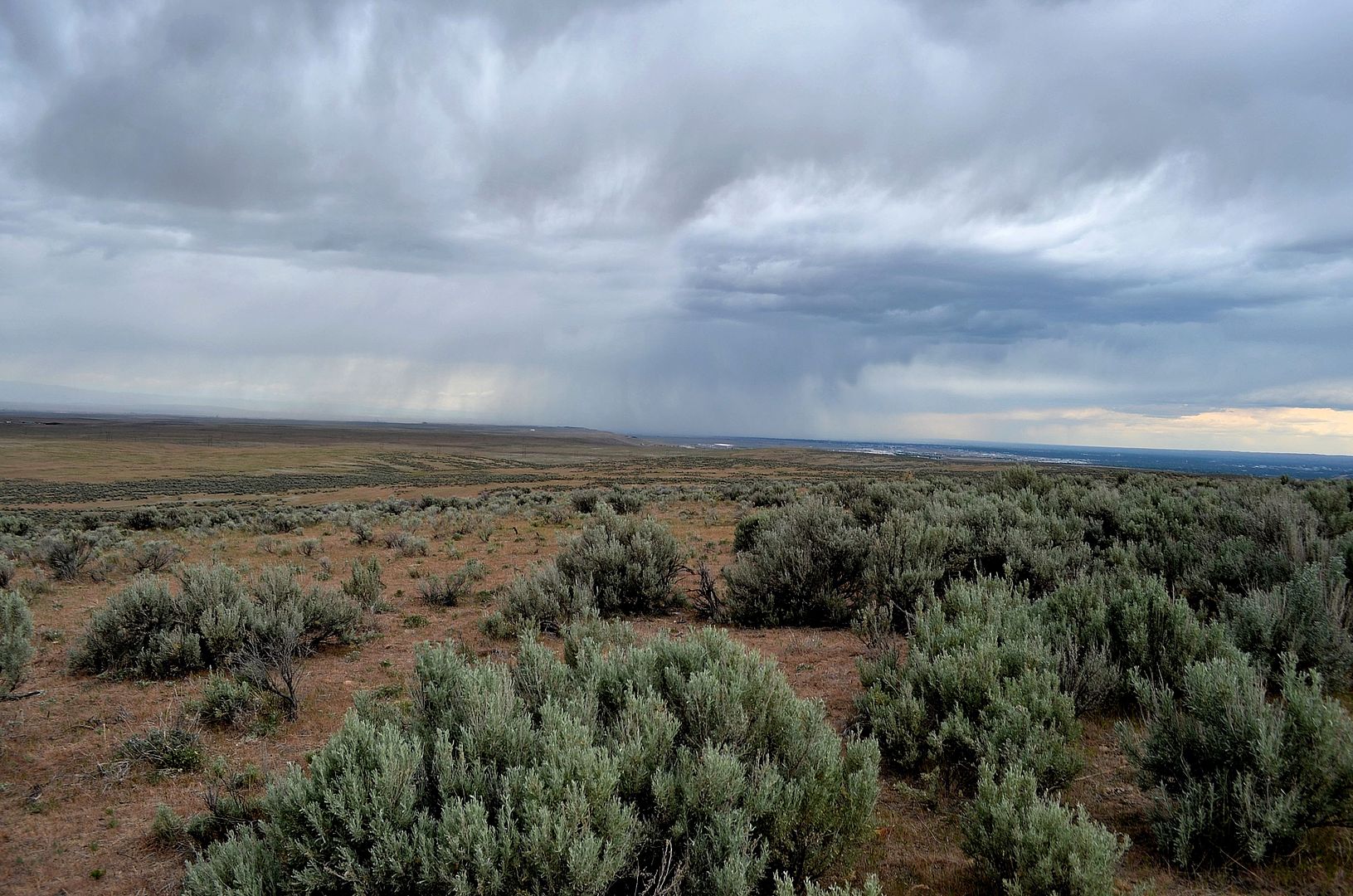
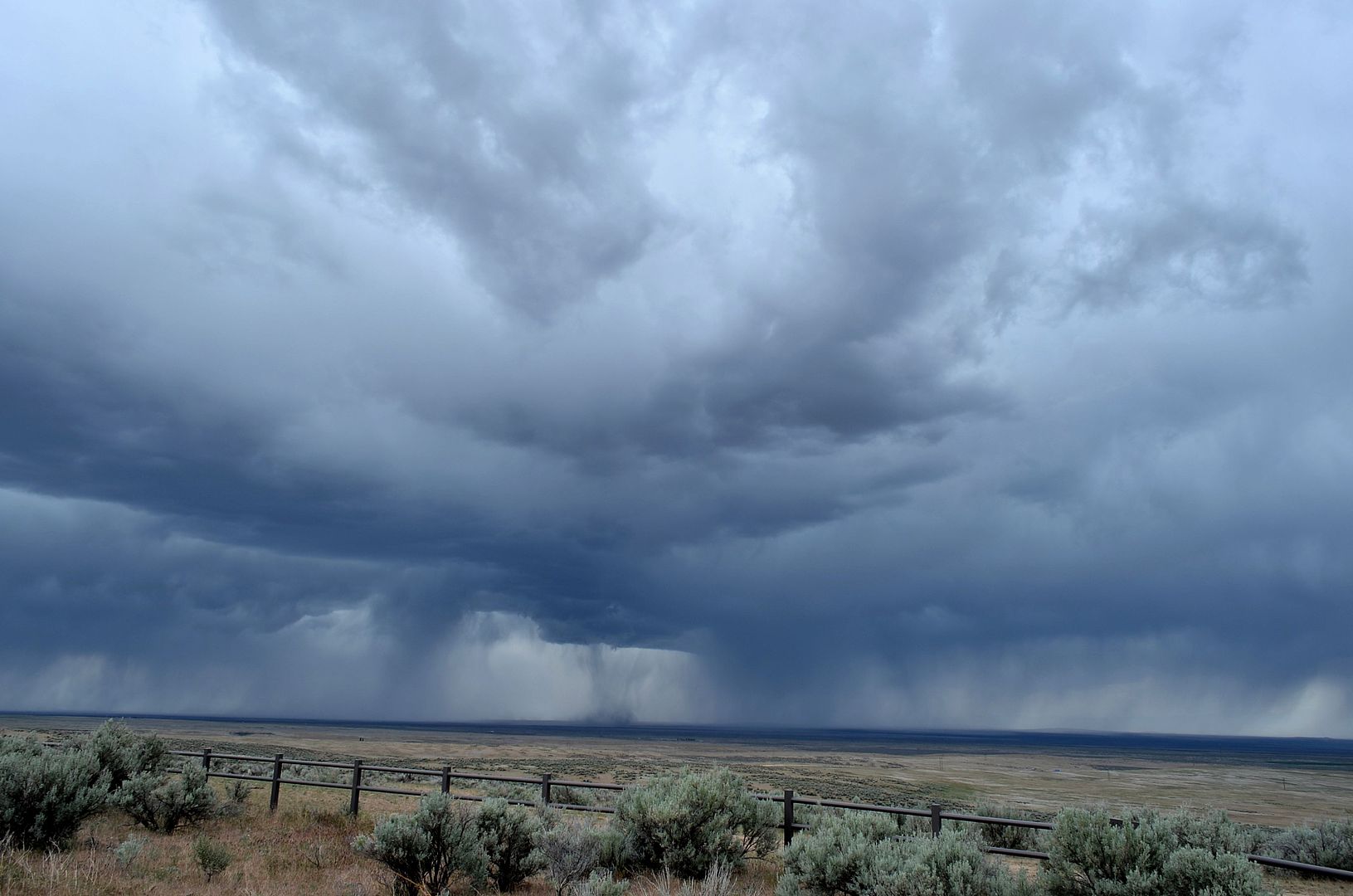
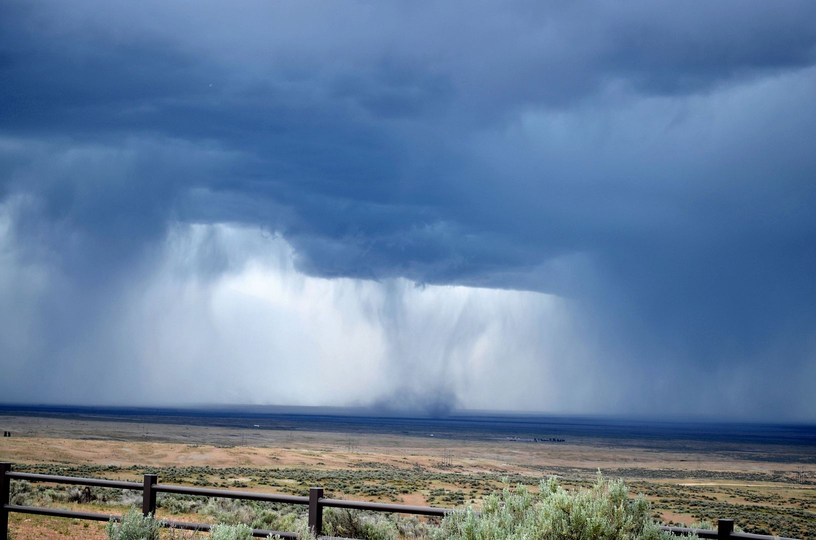
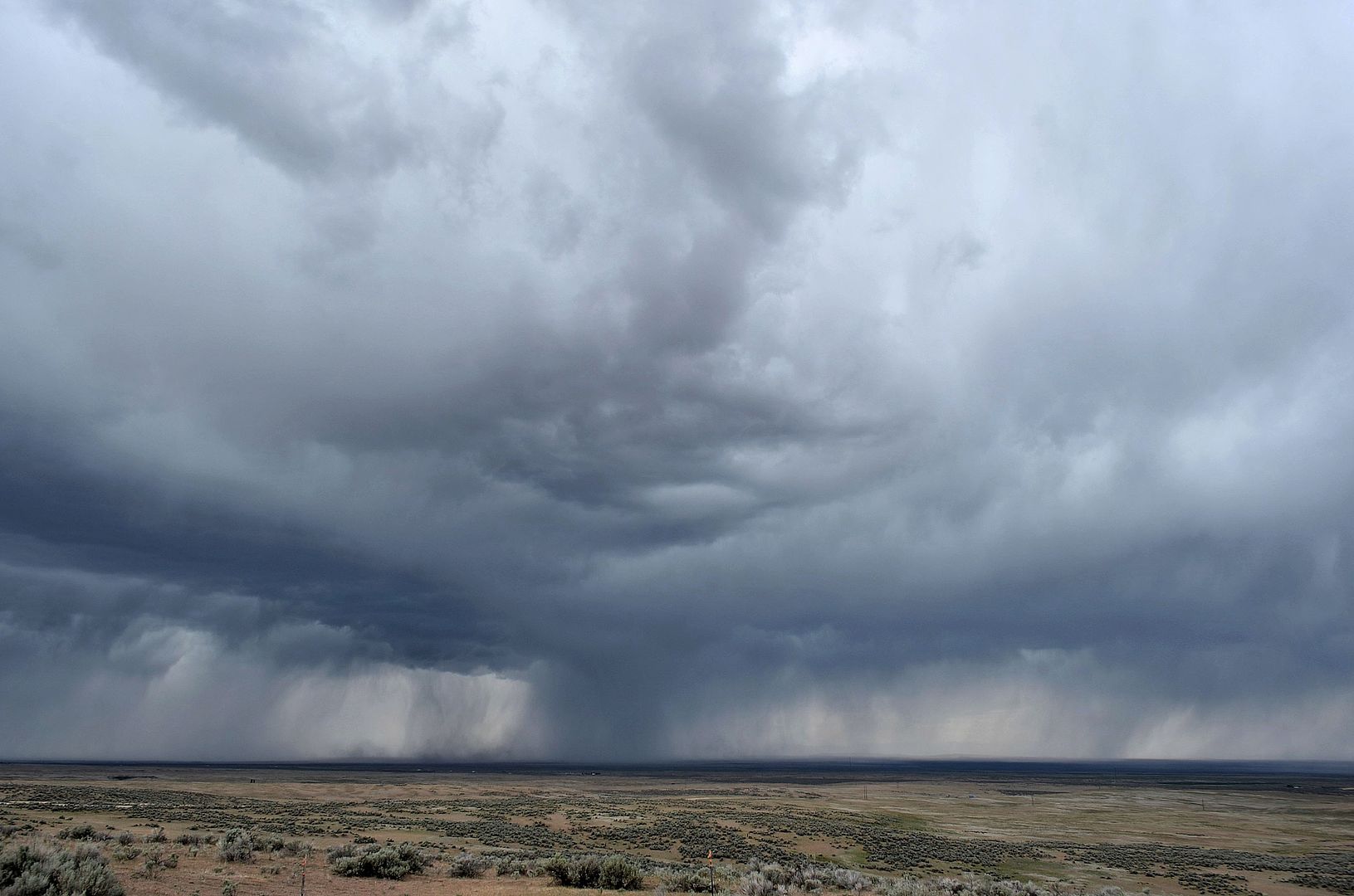
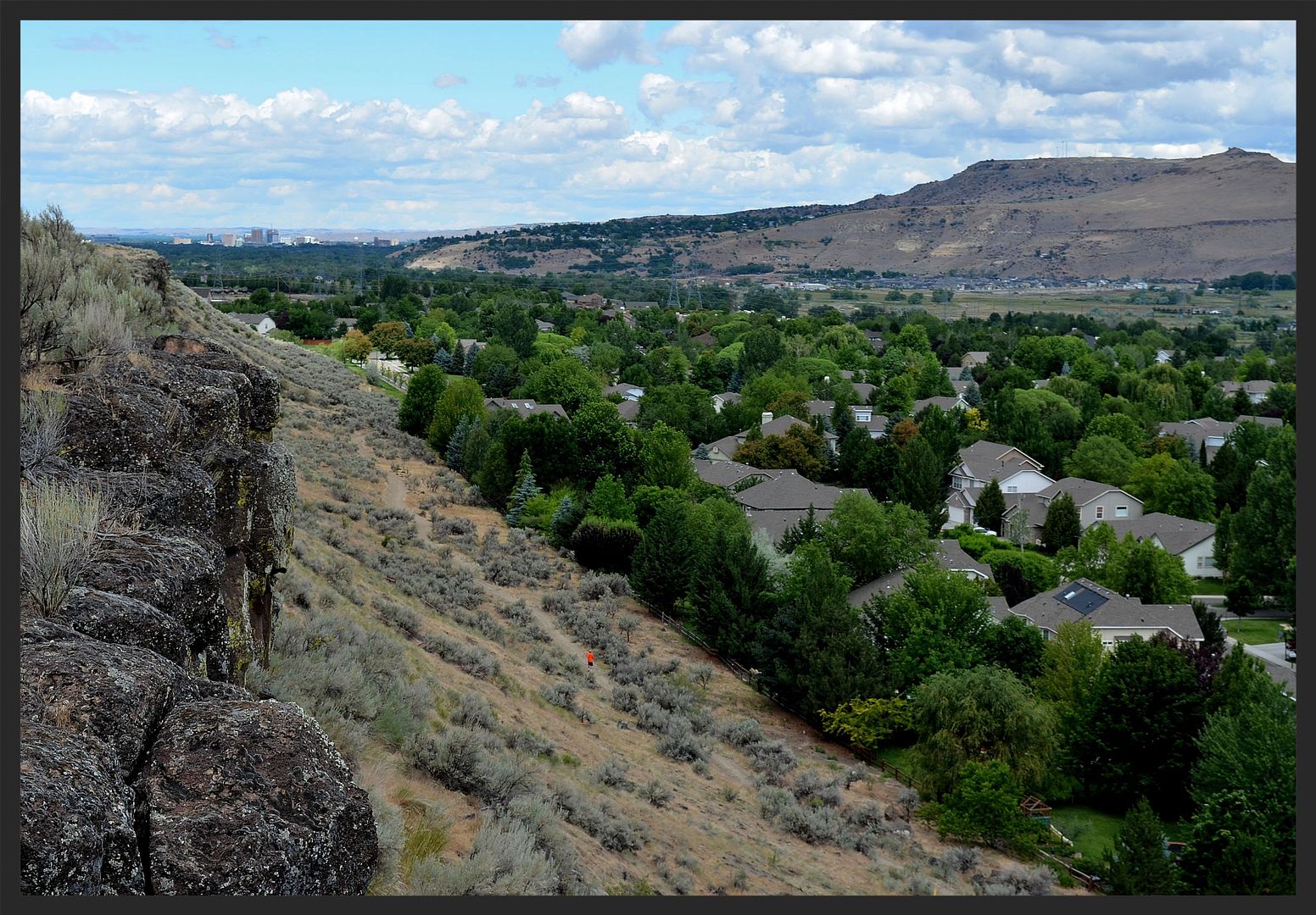
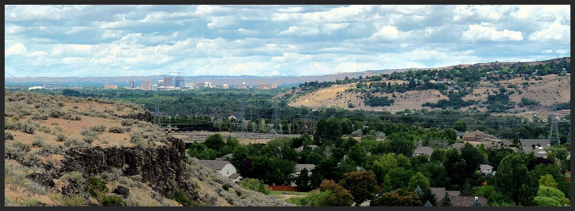
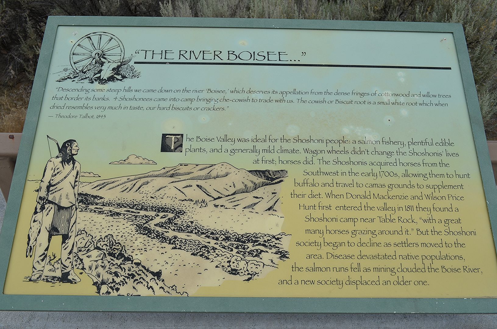
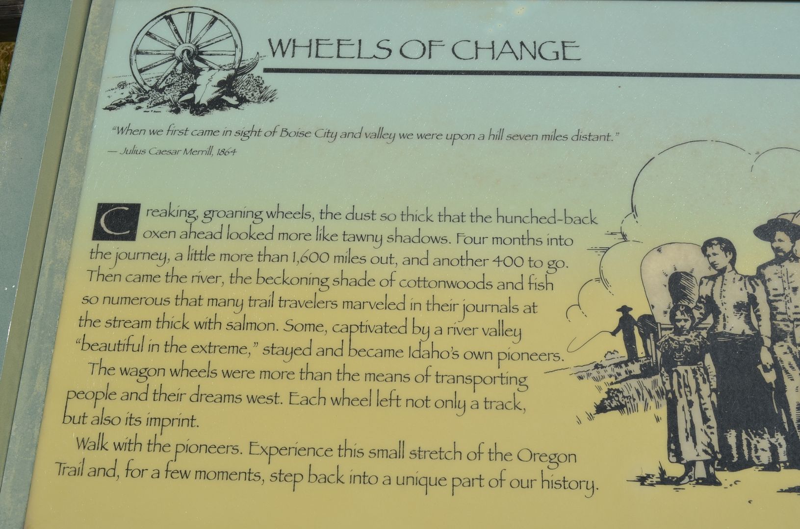
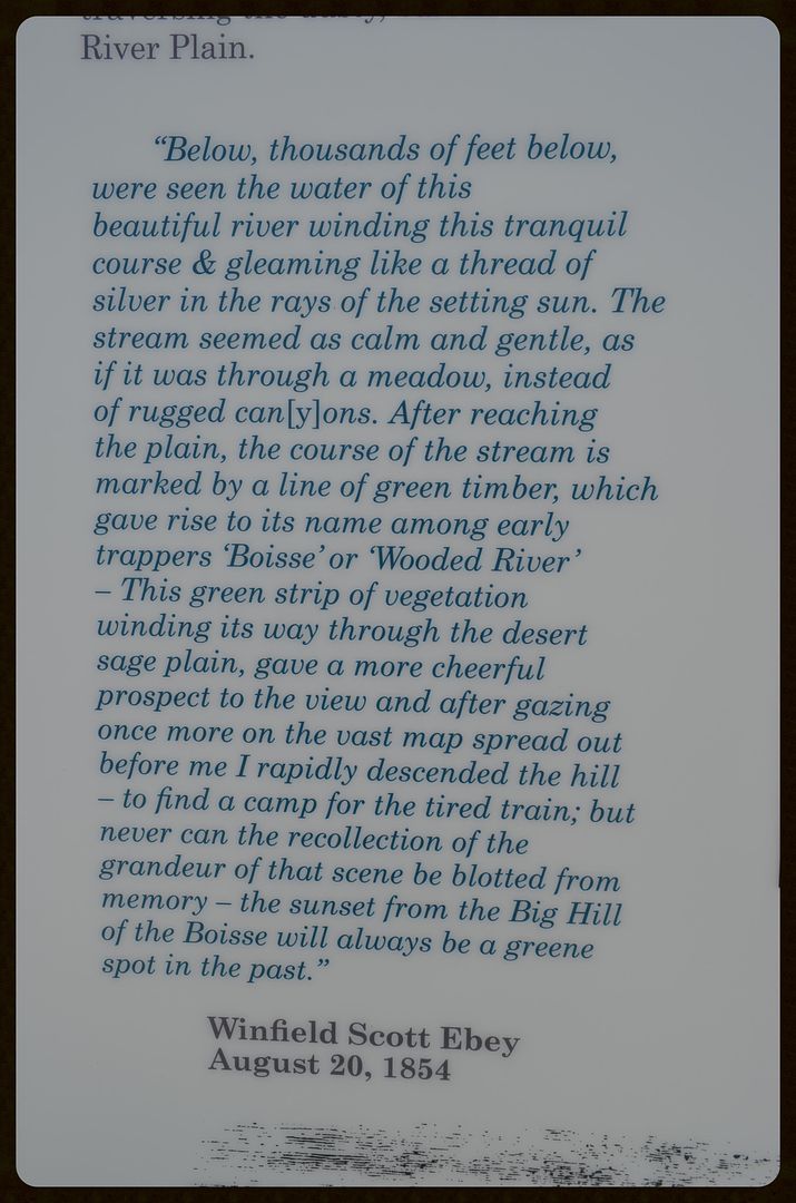
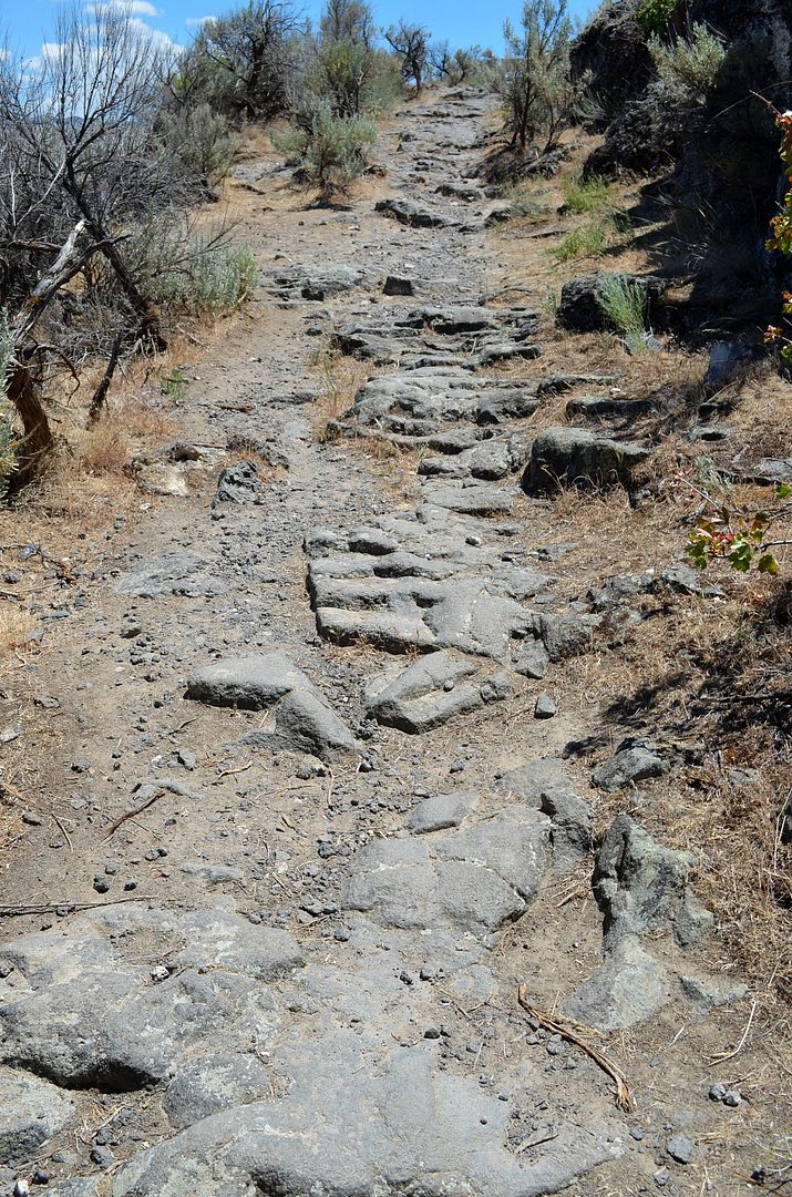
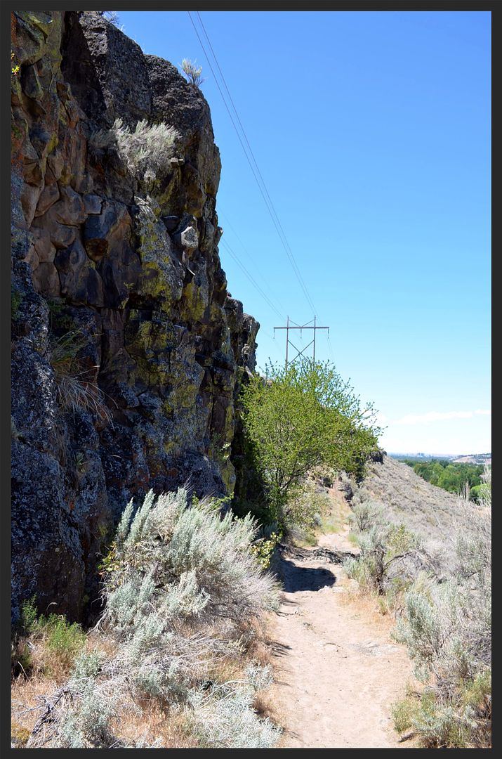
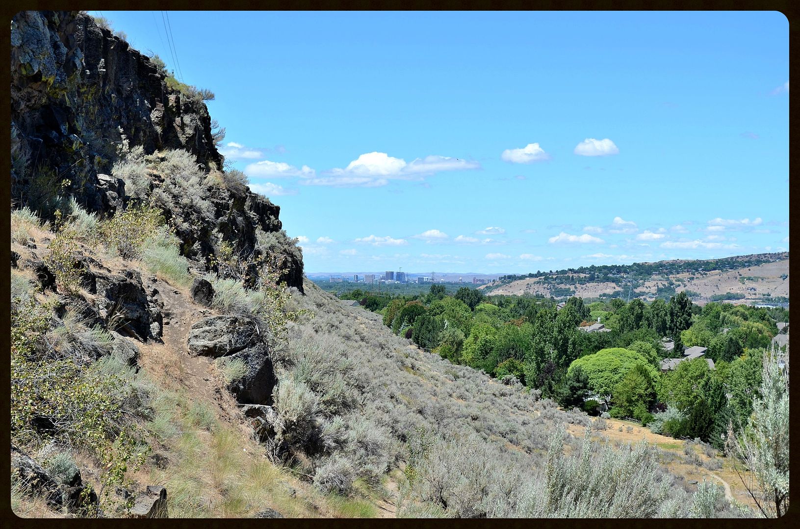
The Oregon Trail|SW IDAHO~Canyon Creek to The Kelton Ramp above the Boise River
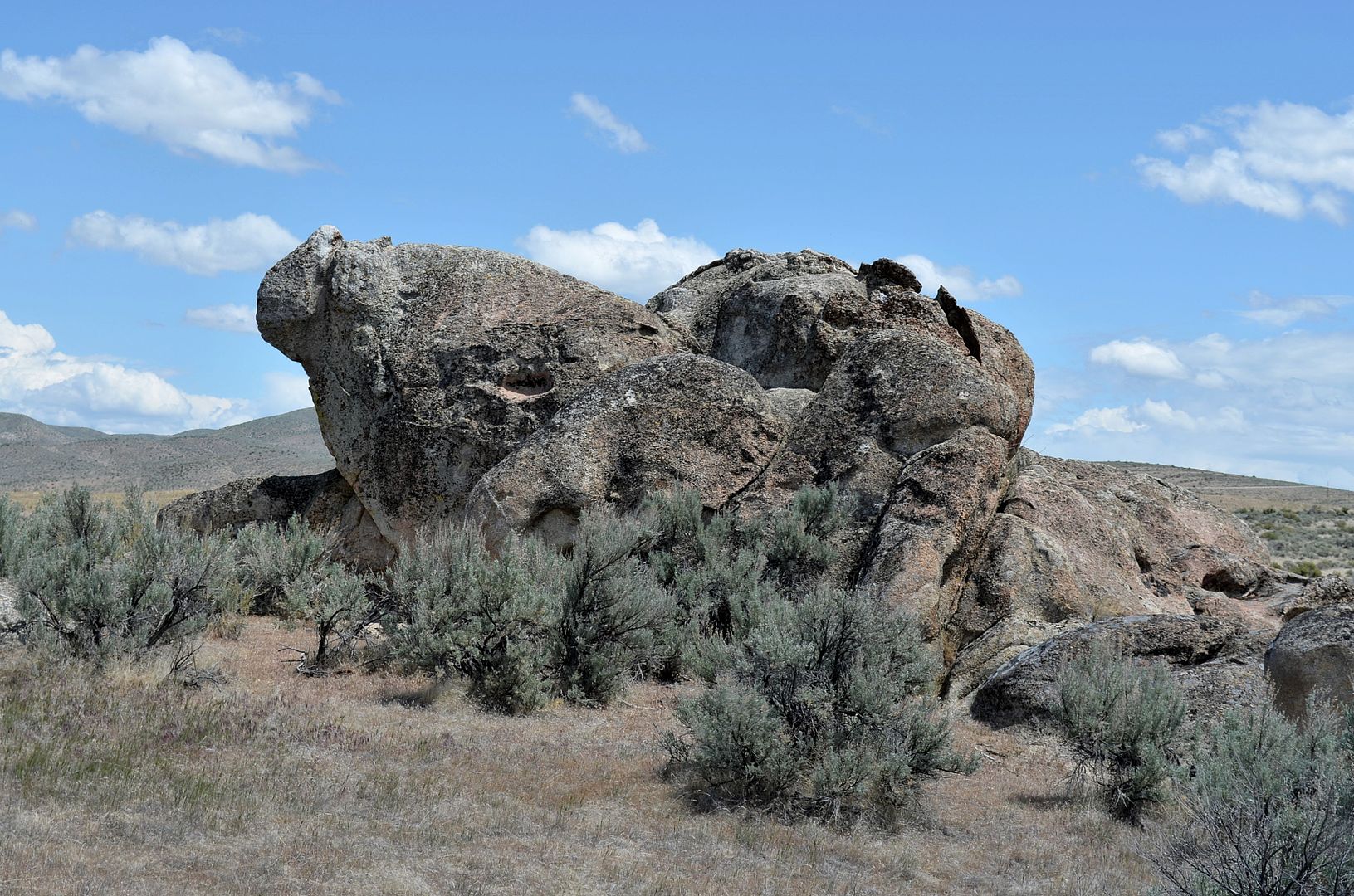
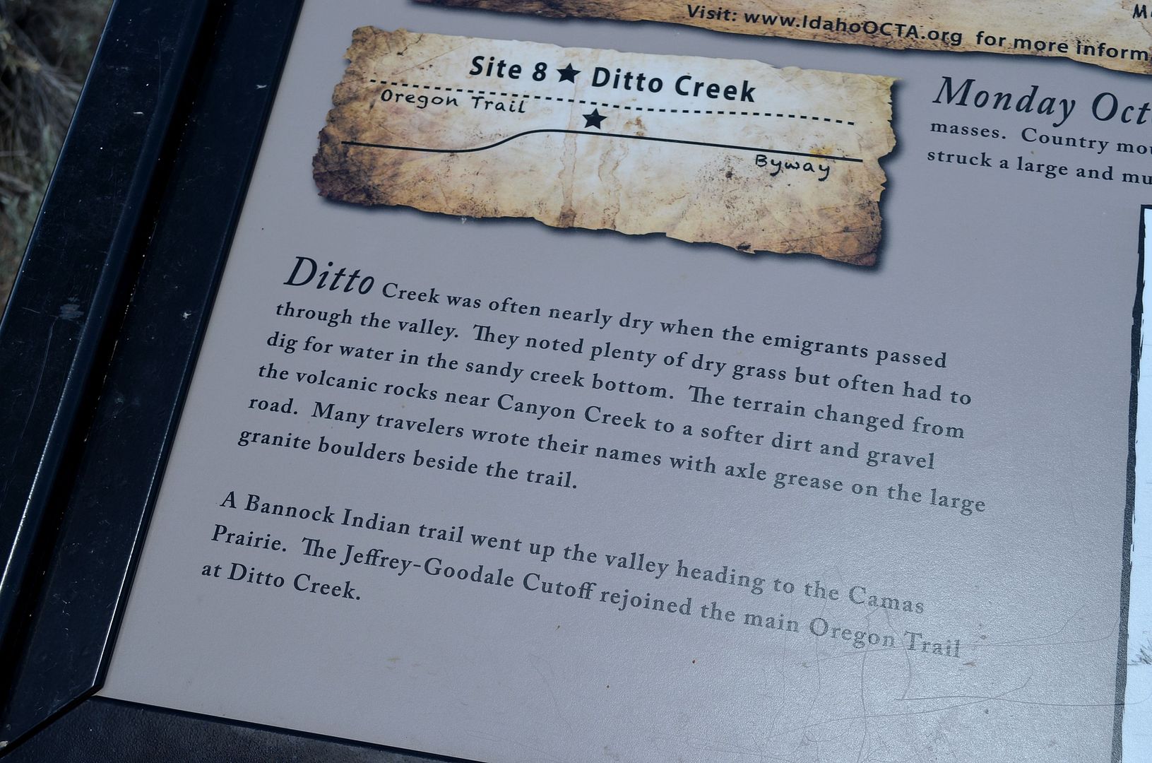
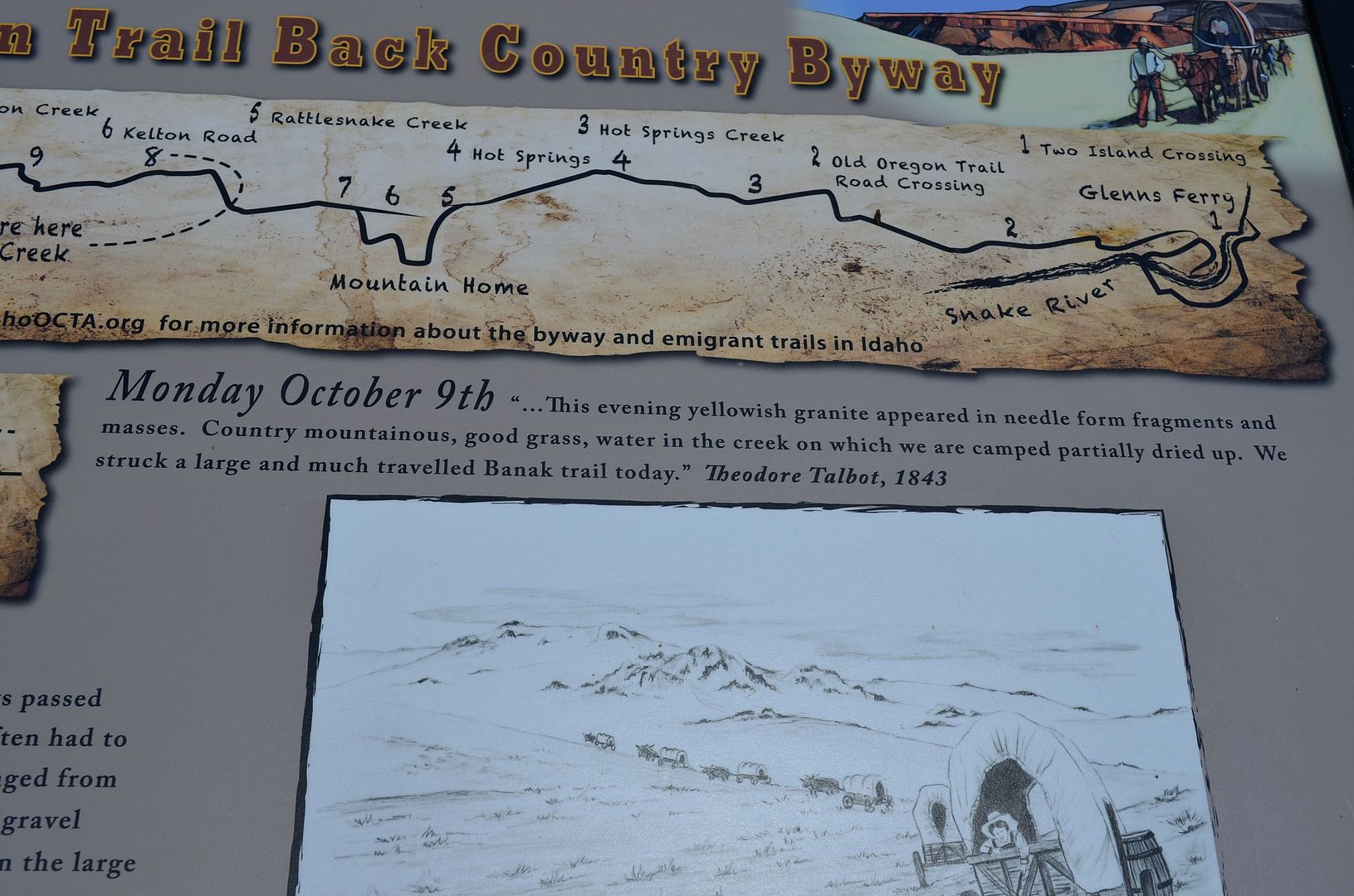
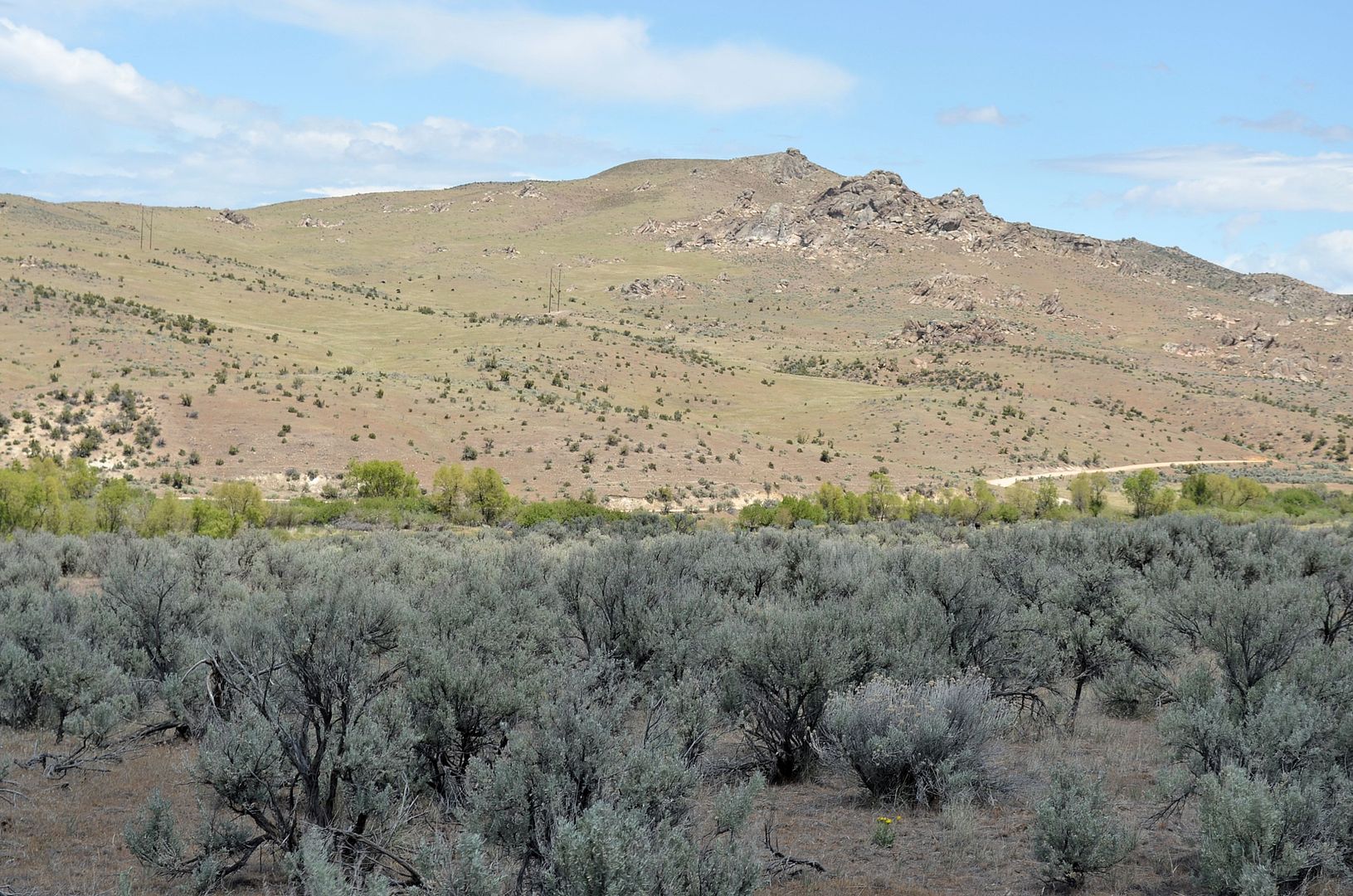
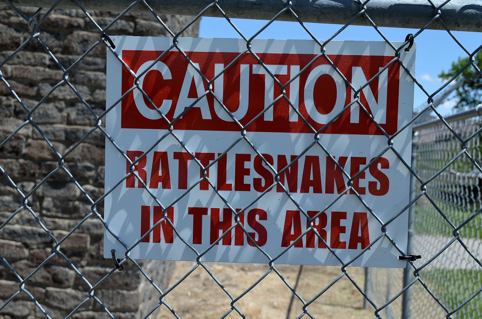
Memorial Day Weekend, 2013. A friend and I drove the path of the Oregon Trail from the Mountain Home area east of Boise heading westwards towards Boise, about a 45 mile jaunt. The photos begin at Canyon Creek and end at the rim above the Boise River. This section of the Oregon Trail follows along the base of the foothills of the Boise and Danskin Mountains which rise to the north.

This BLM link has information about stops along the route. This section begins on page 28, Mile 10.3 of the pdf.

http://www.blm.gov/pgdata/etc/medial...CTAbooklet.pdf


The path of the Trail in this thread is indicated in the center of this photo and between my sloppy star ink blots on the state map


Music to set the mood.

Video Link


Enjoy


Thanks for the splattering, birds


Heading West. The view is from a hill above Canyon Creek


CCC camp built in the 1930's


The desert was covered with these wildflowers


Interesting rock formations and most likely a good hiding spot for Native Americans to watch the white people ramble on by.


Ditto Creek


Looking back towards Canyon Creek.


My Subaru posing in the Idaho Outback.


leftovers from the feast of a wolf or coyote? There are wolf packs in the Danskin and Boise Mountains just north of this location


Bowns Creek


looking south


Heading into Mayfield. We are about 18 road miles east of Boise and half of that distance in sky miles. Mayfield did not exist during the days of the Oregon Trail, but rather came into its own around 1915 and became a "ghost town" in the 1960's. Before Mayfield came to be, this valley was popular for the local Indians and there are accounts of attacks on wagon trains on the Oregon Trail.


Another southward view


Leaving Mayfield and on to Bonneville Point east of Boise


Bonneville Point with views of the Boise River Valley and of course, Boise


Looking Southwest. Boise is to the right of center.


Southeast at the approaching storm. The Owyhee Mountains are hidden by the clouds.


7 miles east from Bonneville Point is the rim above the Boise River and The Kelton Ramp which was/is a man made route down the basalt rock rim to the lush river valley. This area is downstream from the much higher canyon walls of the Boise River Canyon.


The Kelton Ramp.
from the City of Boise, Oregon Trail Reserve website:
"The Kelton ramp is located about 500 feet NW of Highway 21 and is listed on the National Register of Historic Places. The ramp dates back to the early 1860s. It is a rock cut through the basalt rim between the second and third terraces above the Boise River."
http://parks.cityofboise.org/parks-l...trail-reserve/


Down the Ramp


I hope to post another thread soon of the Oregon Trail from the canyon rim through the city of Boise and downtown into The Northend.
__________________
🌲Keep Idaho Green🌲
🌳The City of Trees #boise🌳
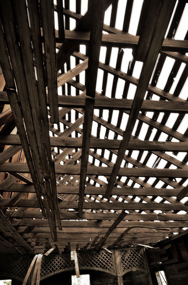
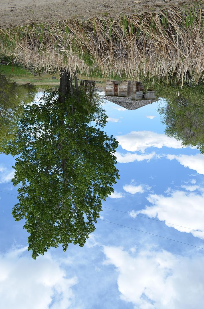
Have you also learned that secret from the river; that there is no such thing as time? That the river is everywhere at the same time, at the source and at the mouth, at the waterfall, at the ferry, at the current, in the ocean and in the mountains.-Hermann Hesse
Reply With Quote
     
     
End


Go Back   SkyscraperPage Forum > Photography Forums > General Photography
Forum Jump


Forum Jump


All times are GMT. The time now is 12:30 AM.

     
SkyscraperPage.com - Archive - Privacy Statement - Top

Powered by vBulletin® Version 3.8.7
Copyright ©2000 - 2024, vBulletin Solutions, Inc.