I took all these photos today (June 27, 2010):
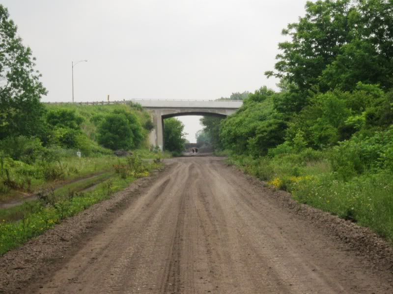
Former railbed of Canada Southern Railway (CASO) looking eastbound under Talbot Street.
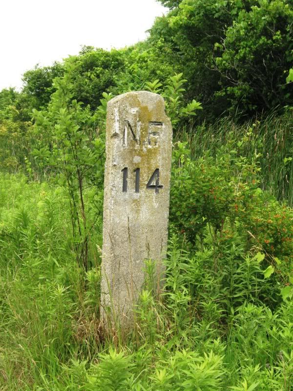
Stone mile marker on former CASO Railway.
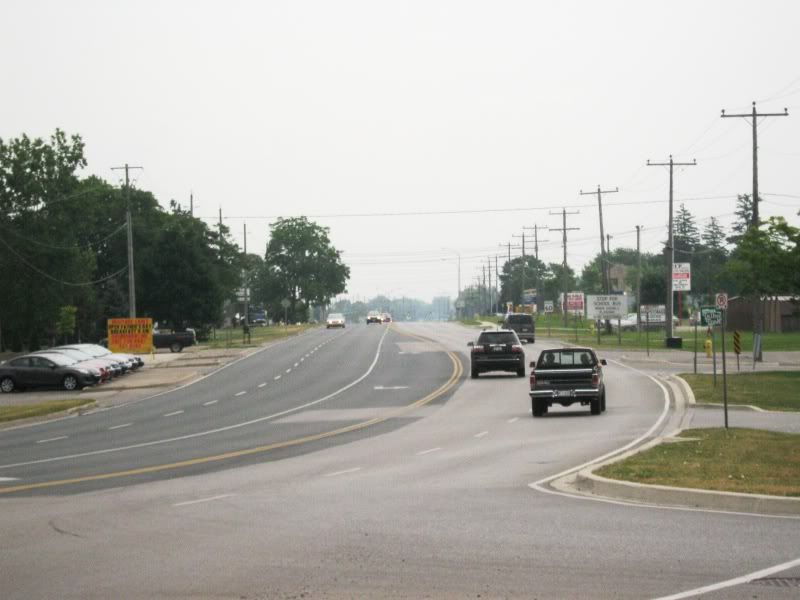
Talbot Street looking east from near CASO overpass.
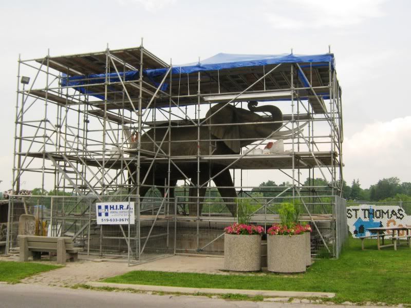
Jumbo the Elephant being refurbished!
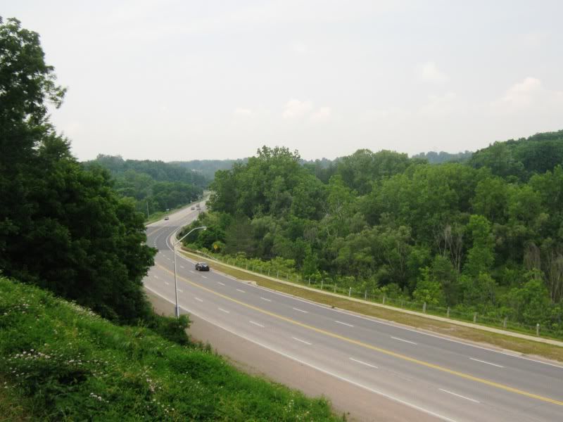
Talbot Hill, which connects Highway 4 with Talbot Street in St. Thomas.
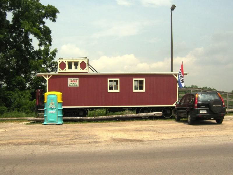
St. Thomas Tourism building, housed in an old rail caboose next to the elephant.
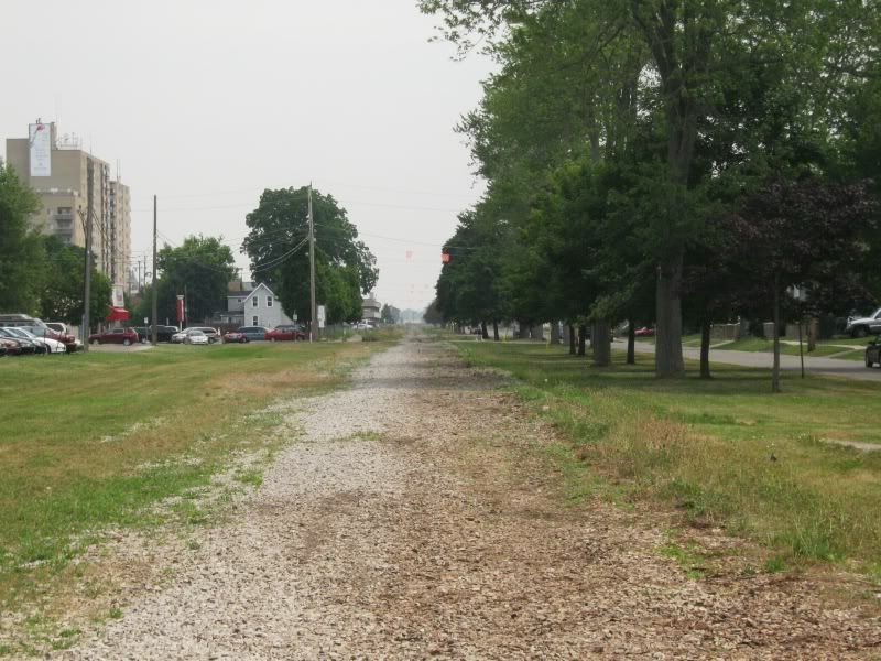
More of the former CASO railway bed, this time in the west end of St. Thomas. The rails were removed on this section relatively recently, as I recall they were still there in July 2008 when I was last there.
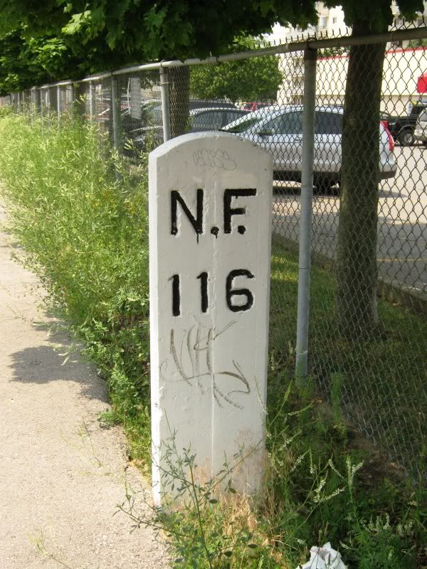
Restored CASO milage marker. The Trans-Canada Trail runs along the former CASO railway through St. Thomas.
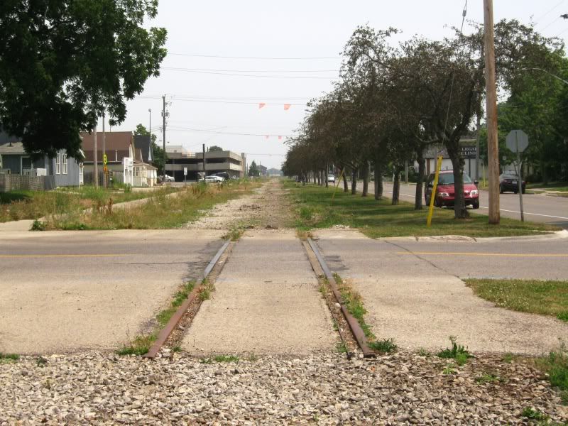
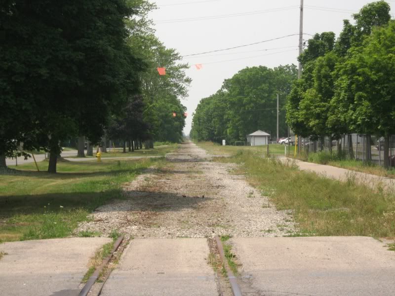
All that is left of the CASO trackage here is on this crossing.
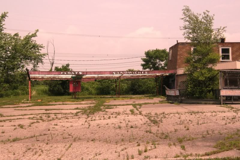
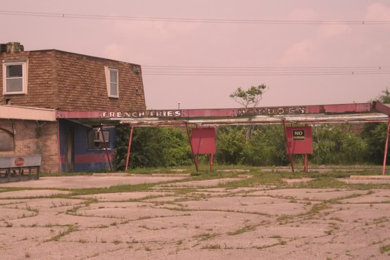
Now for a trip into the 1960s - an abandoned drive-in restaurant just west of St. Thomas!


 Threaded Mode