About an hour's drive from DT San Francisco, Mt Diablo rises 3,864 ft above sea level and is the tallest mountain in the East Bay.
First for perspective.
Mt Diablo is the highest peak located in the upper center of this pic taken by
trexcali at flickr
 http://farm3.static.flickr.com/2273/...51e9529a_o.jpg
Anyway, that's a stunning but very famous view. What caught my eye was these pics I came across of the view from Mt Diablo taken by
craigiest at flickr.
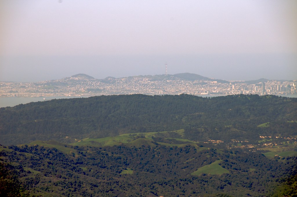
The view from the top of Mt Diablo looking west at San Francisco. The small town in the middle of the picture is Moraga, a bedroom community and immediately at the top of the ridge behind Moraga is Oakland's Montclair District.
 http://farm4.static.flickr.com/3594/...dc0efc34_b.jpg
Panning south...
The pristine parklands of the East Bay shield the interior valleys of NIMBYdom

from the "onslaught" of development that awaits just at the other side of the crest. Actually much of the forestlands in this pic are actually within Oakland city limits.
 http://farm4.static.flickr.com/3617/...2b58ab81_b.jpg
Panning back north
The high hill right at the ridge looks like the Grizzly Peak area which is the border of Oakland and Berkeley on the other side of the ridge. The sprawling town you see in the almost rural looking area below is Orinda, another swank town that has a BART station and provides a place for fencesitters(I want to be near urbanity, but would love to live in a treehouse. LOL). Beyond the crest we see the Golden Gate Bridge and the channel its named for as it opens to the Pacific Ocean.
 http://farm4.static.flickr.com/3456/...8c717eba_b.jpg
Anywho...hope you guys(and/or gals) like em.


