There is a lot of interrest in this forum about two things, skyscrapers and transit projects which it why I found it surprising that there is no future canadian transit maps like there is a future skyline thread so I thought I would start one with some of the ones I know.
Ottawa:
Here is Ottawa's current O-train line:
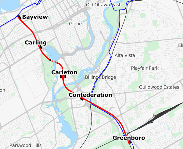
What the light metro system will look like in 2018 when the new confederation line is complete:

And this is the approved system expansion for 2023:
 Edmonton:
This is the map of Edmonton's current LRT system:

The planned and under construction expansions with the metro and valley lines:
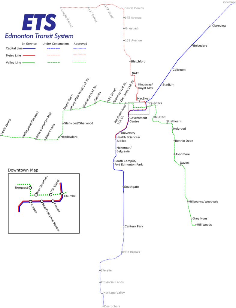
And the vision of the system in 2040 with the festival and energy lines:
 Calgary:
Here is the current C-train system:

And the proposed green line expansion:
 Vancouver:
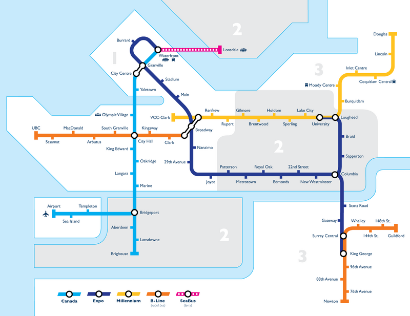
Here is the map of Vancouver's Skytrain system where the new evergreen line (2016) is indicated.
 Montreal:
Here is the metro system:

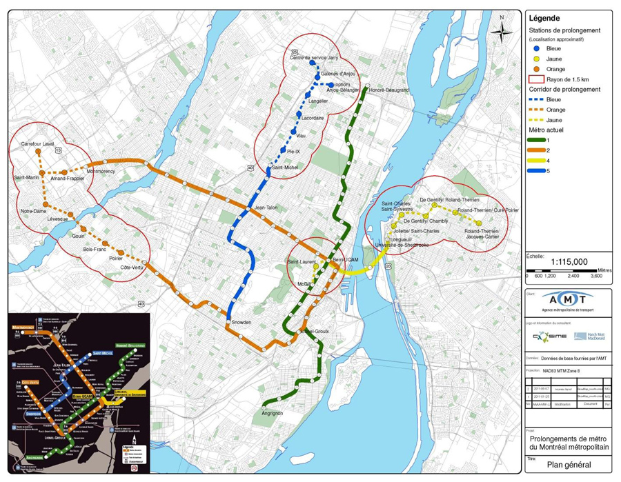
And the vision 2020 extension of the metro:
 Toronto:
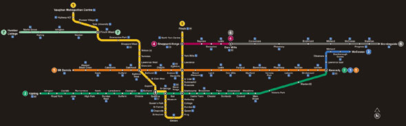
Here is Toronto's subway system:

And this is the TTC's future transit map:
I'll try to keep track of this thread and keep it updated. Tell me if there are any changes you want done to the post.





 Prev
Prev





 (from hamiltonrapidtransit.ca)









 Linear Mode
