Ok, big thanks to Jdawgboy and nixcity for the invite. The three of us met up and went to the public presentation. I planned to take photos, and they turned out mostly ok, but then I saw their PDF file of the same images, so I just did screen caps of them to post.
By the way, Chris Riley was there with his bicycle water bottle in hand of course. We didn't meet him, but he was about 8 feet away from us.
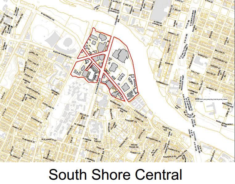
What they're planning is to completely redo the street grid south of the river around Barton Springs and Riverside. They'll even add new streets. This will break up the blocks to make them smaller. It'll allow them to widen the sidewalks and have more street facing retail.
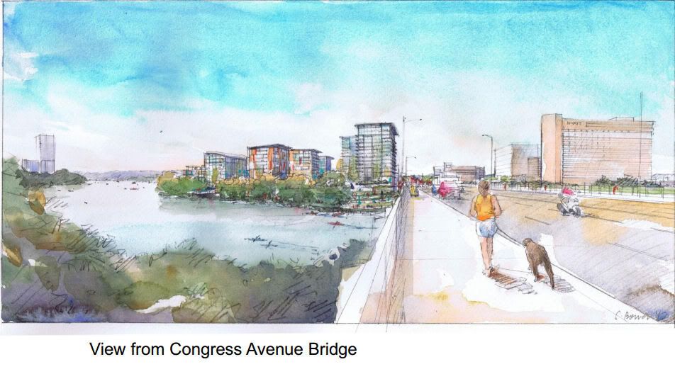
They also said the area could support up to 6 million square feet of new space with building heights up to 16 floors. I wouldn't think any of them would be over 200 feet tall. And in their conceptual images, none looked to be taller than the Hyatt, which is the tallest building in South Austin at 185 feet.
There are three different plans that might end up having different street grids.
PDF Plan - The images came from this link.
http://www.aia.org/aiaucmp/groups/ai...aiab095036.pdf
This is what the grid looks like today. Large blocks that limit access to the waterfront bordered by fast moving traffic and narrow sidewalks with vacant gravel parking lots.

This is what the street grid could look like. Smaller blocks that are tree lined with stores facing the street with other uses above.

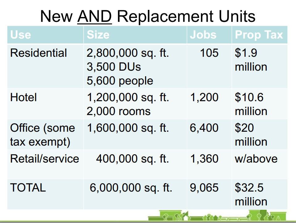
This shows what the impact would be to the area with respect to the number of jobs that would be created. These numbers do not include construction jobs. It also shows how much property tax money would be generated for the city.

This shows what kind of building heights to expect.


Comparing the heights of the new buildings south of the river to those in downtown.

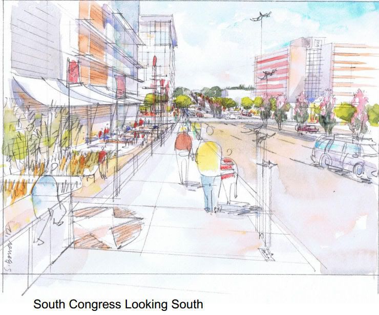
Streetscape along Congress.


They also said that there would be plans to redo South First and South Congress. They would be tree lined with wider sidewalks. The streets would turn into Austin's grand central avenues, similar to Michigan Avenue in Chicago with them being more pedestrian friendly and safe.
I do wonder though, with them planning to have a median down both streets that if they do that for Congress how it might interfere with the Capitol view corridor straight down Congress.
More renderings and details
South First Street and Congress Avenue layout
Highrise Apartment
Hotel
Shared Parking Structure
Affordable Housing
Parking Recommendations
South Shore Central Good Planning Practices
Walkability and Austin (compared to other cities).
Austin Trends


