The suburban municipalities of Mississauga and Brampton west of Toronto recently completed a study to determine the best rapid transit solution for their Hurontario Street corridor (called Main St in Brampton) which can be found on this site:
www.hurontario-main.ca. They eventually decided on LRT.
Almost all the Hurontario-Main corridor was developed from the 60s onward, and that development is still ongoing as the corridor is still lined with many greenfields.
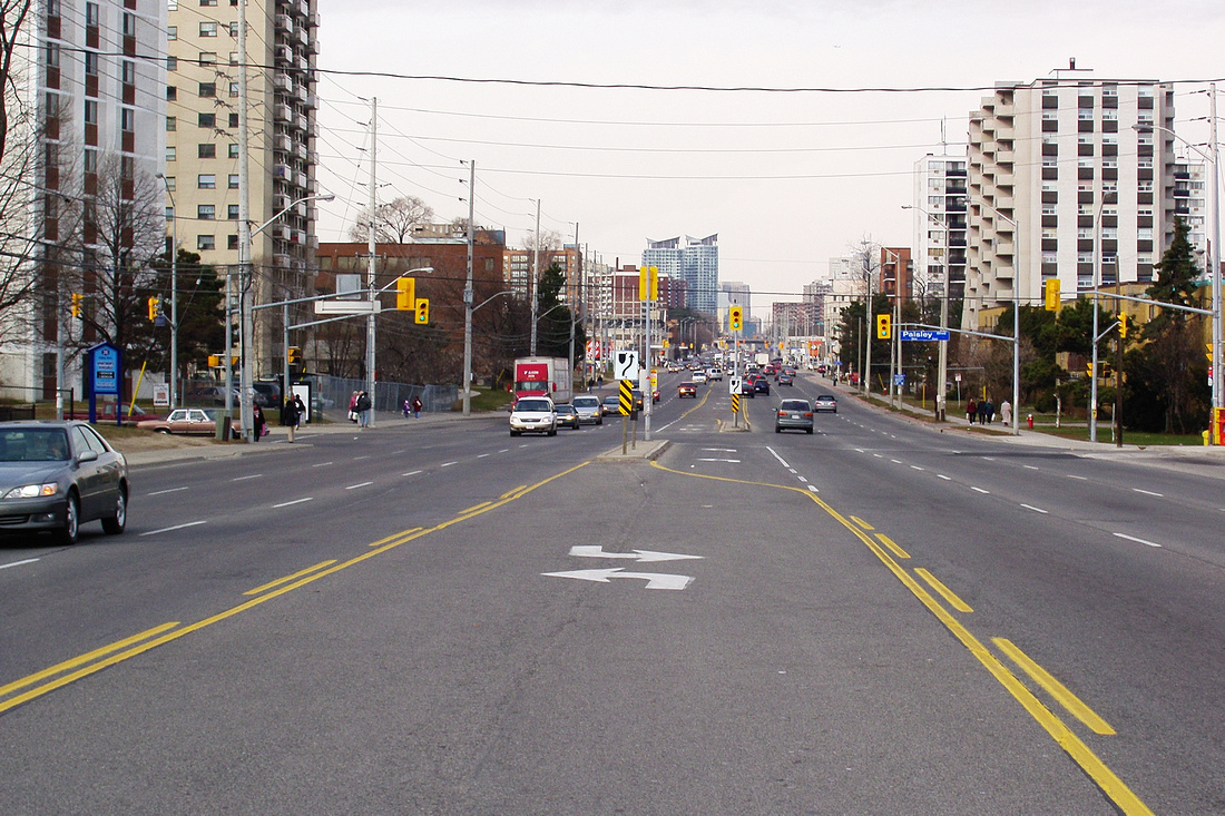
Here is how it looked like 2004, near the proposed Queensway station, one of the oldest parts of the corridor (compare it with the concept drawings in the pdf):

Rapid transit is considered a high priority because of the high density zoning and frequent closed-door situations on the buses, despite the buses coming at 3 to 4 minute intervals during rush hour in the Mississauga portion (such as photographed above). With a length of approximately 20km and a ridership of 30,000 per weekday, the bus service already has higher ridership per km than many LRT lines. So capacity was a major reason for choosing LRT, though there was a serious push for BRT from local politicians, which failed (fortunately).
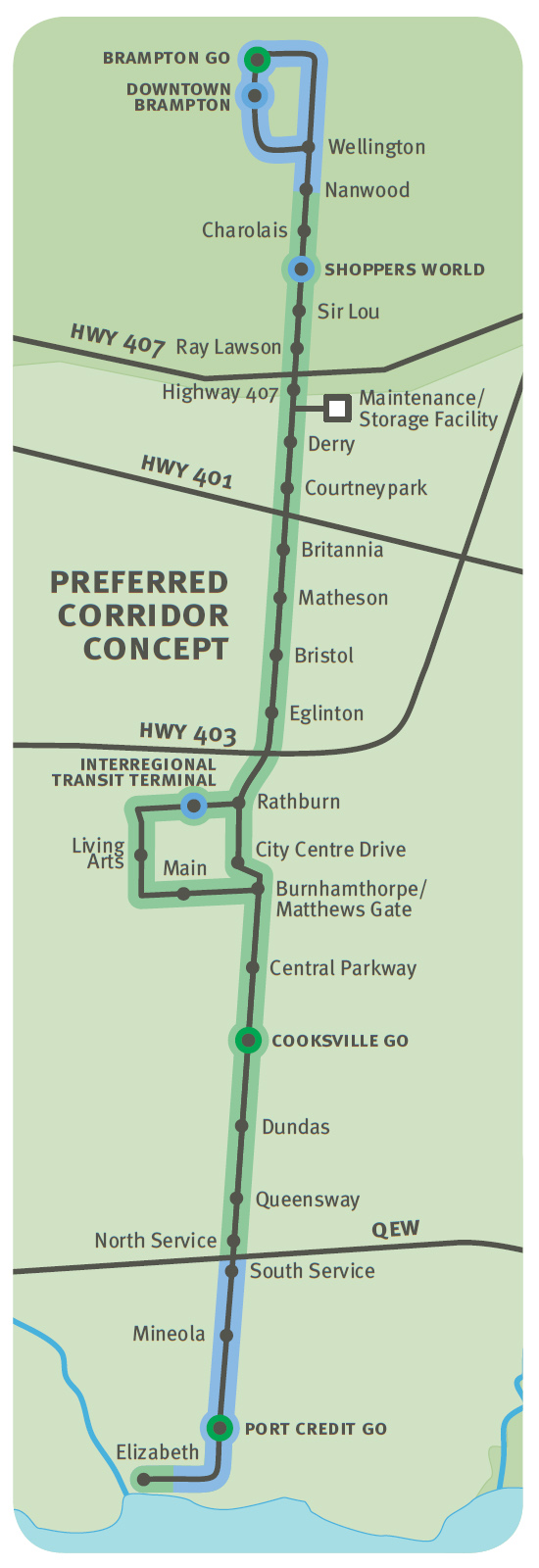
The proposed Hurontario-Main LRT is projected to cost approximately $1.1 billion and will have 30 stations, with trains operating at a 4 -5 minute frequency. The LRT will have an estimated ridership of approximately 100,000 boardings per weekday, which would make it one of the busiest light rail transit lines in North America.
The LRT projected to be completed within the next 15 years as it is consider high priority for Metrolinx, the region's transit coordinating agency.

Lots of detailed maps and other info can be found in this document:
http://www.hurontario-main.ca/PDFs/P...n%20Boards.pdf


