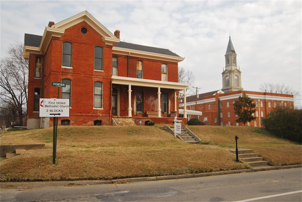
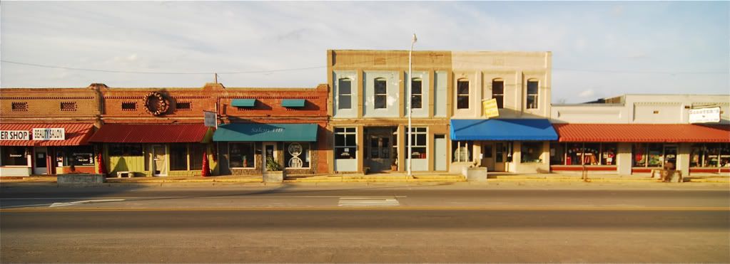
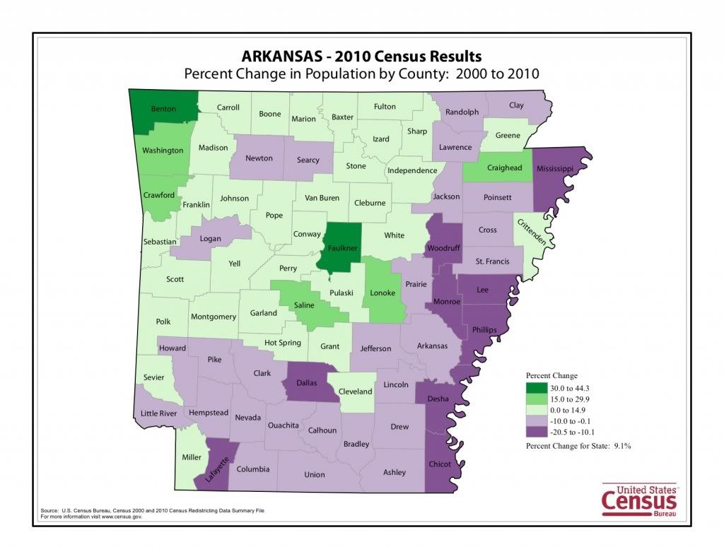
I've lived in the state for nearly 4 years now and have never made it down to the delta region and southern Arkansas. I am making a book on Arkansas right now and needed this part of the state for it. Here are some photos I took on my 3 day trip to the delta region. Almost every last town I went through has lost population and every county except for Pulaski, where Little Rock is, and some of the surrounding counties have not lost population but the rest have lost 5-20% of their populations since 2000.

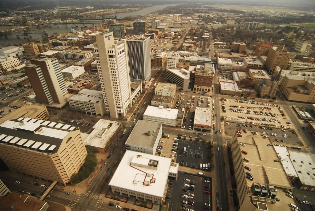
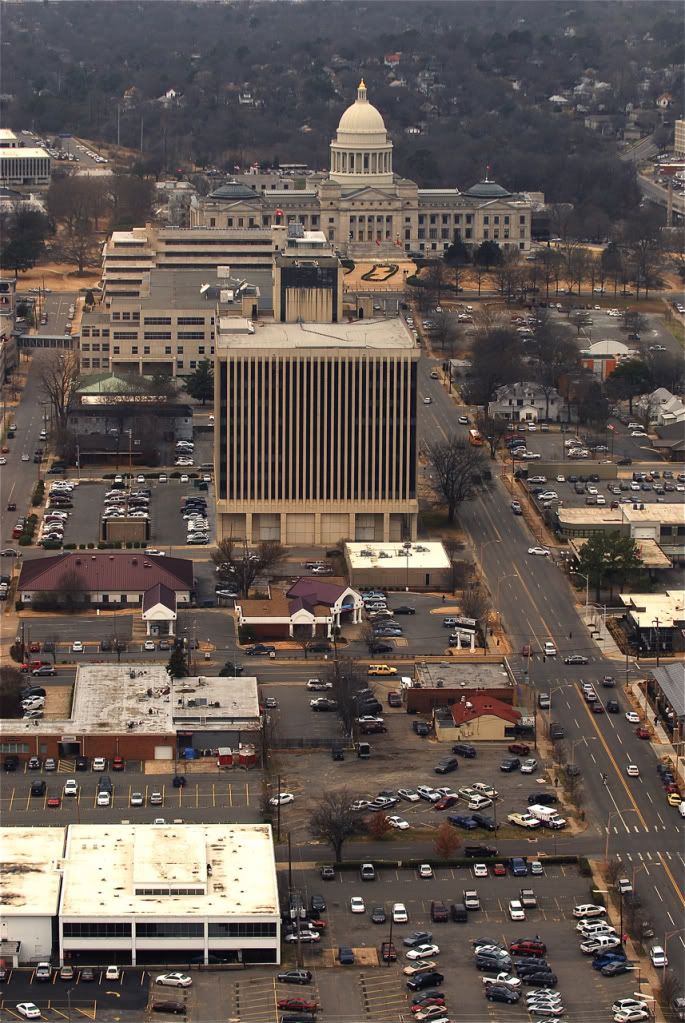
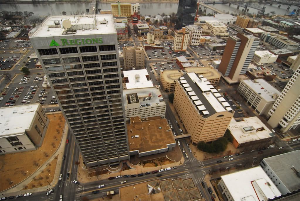
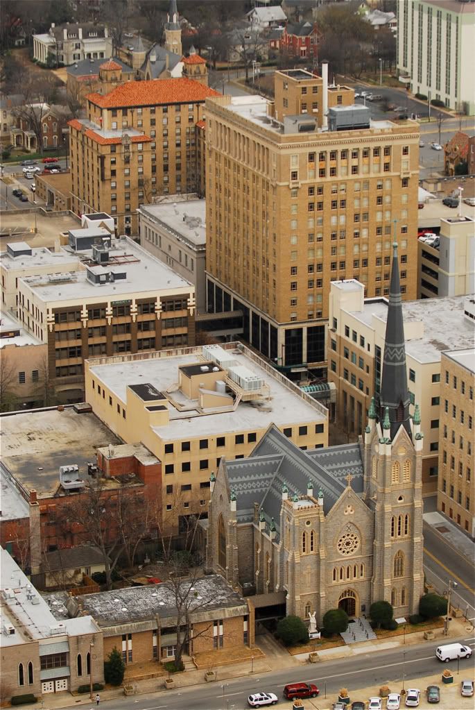
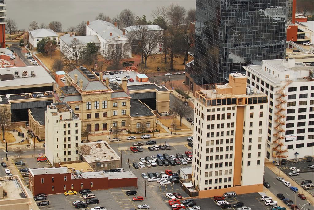
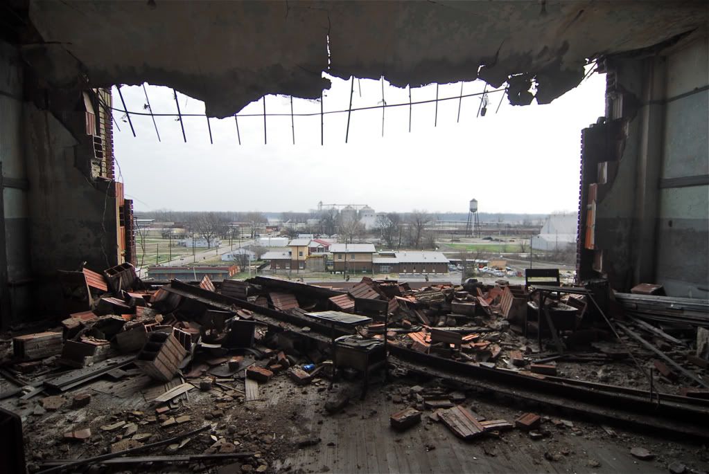
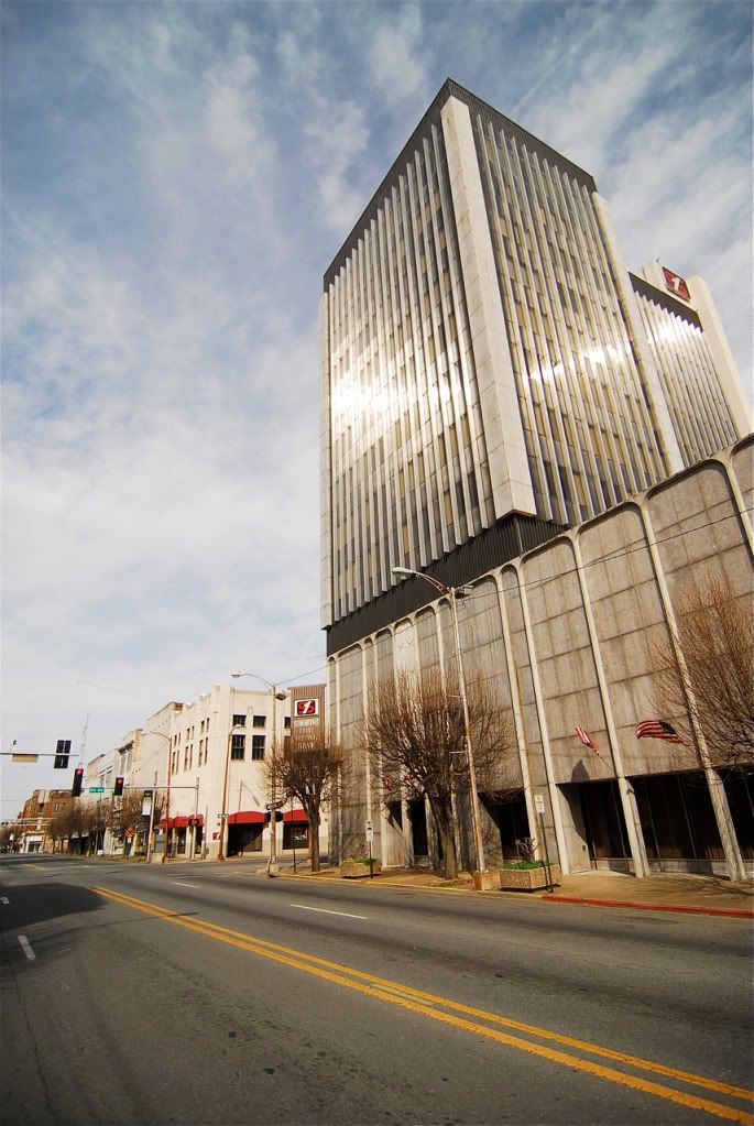
Starting off in Little Rock, I was able to go up on the roof of the tallest building downtown, a place photographers rarely get to go.
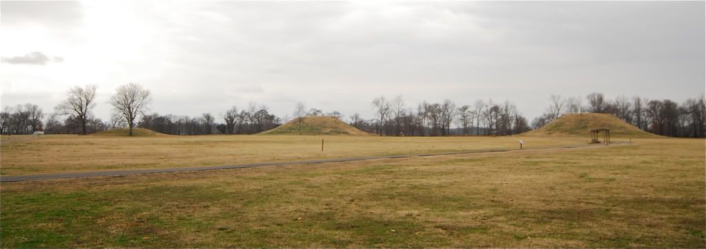
1200 year old Toltec Mounds, all thats left of a once great civilization just east of Little Rock.
Keo
England
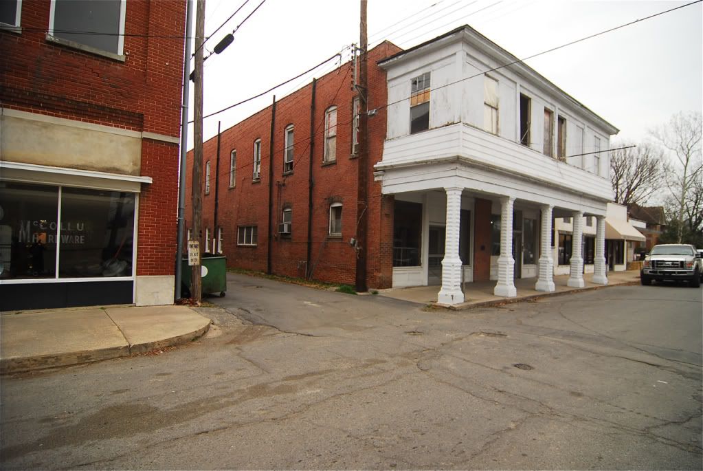
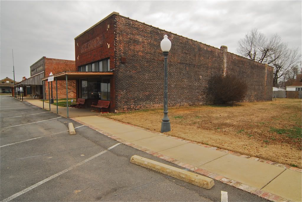
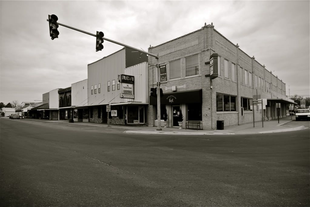
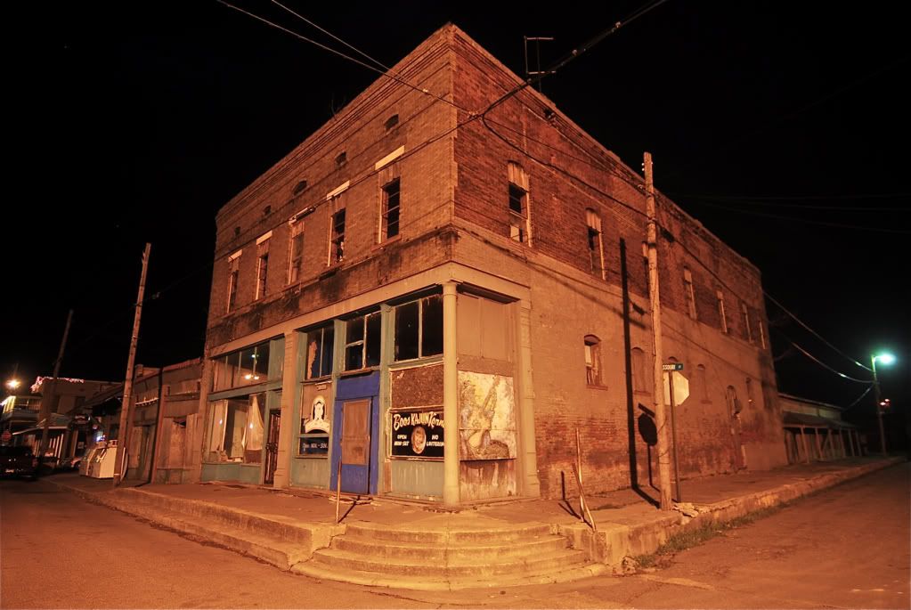
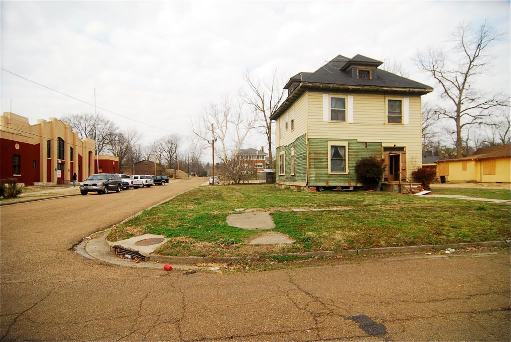
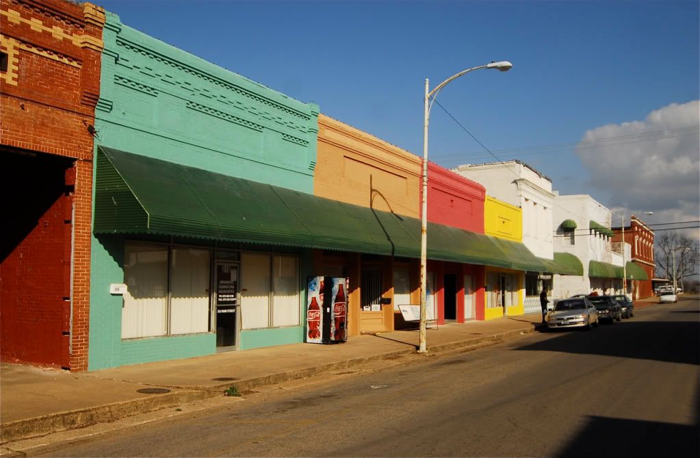
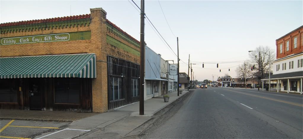
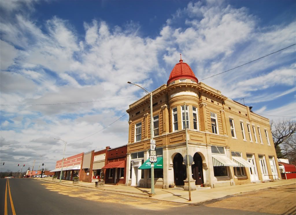
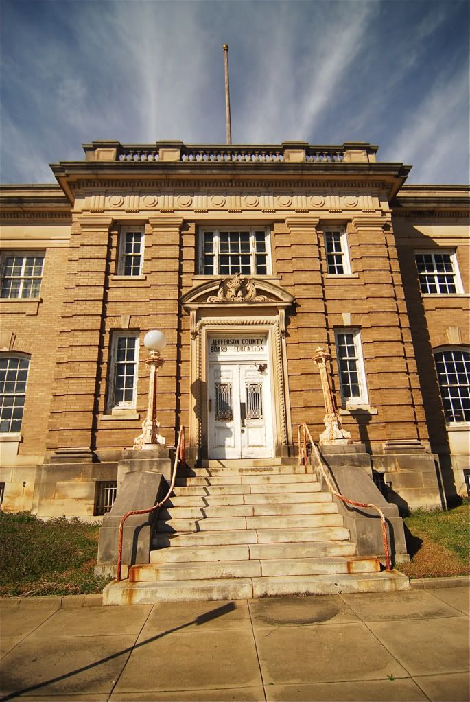
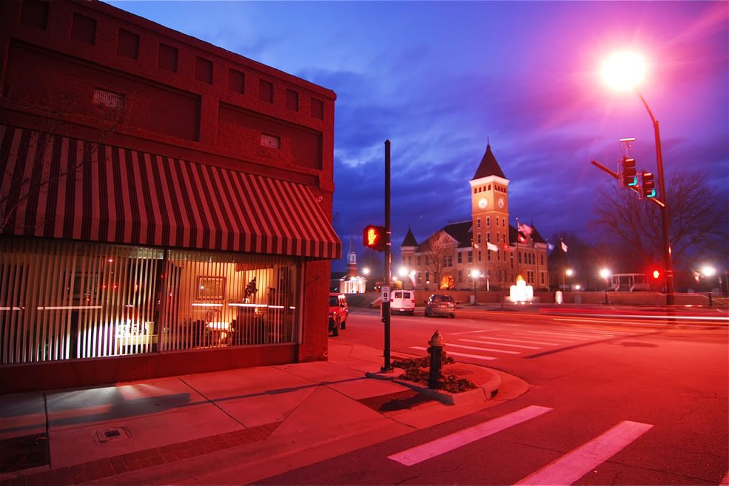
Stuttgart, a town of 5k, which is quickly dying.
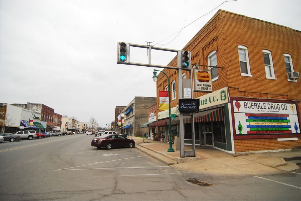
Stuttgart
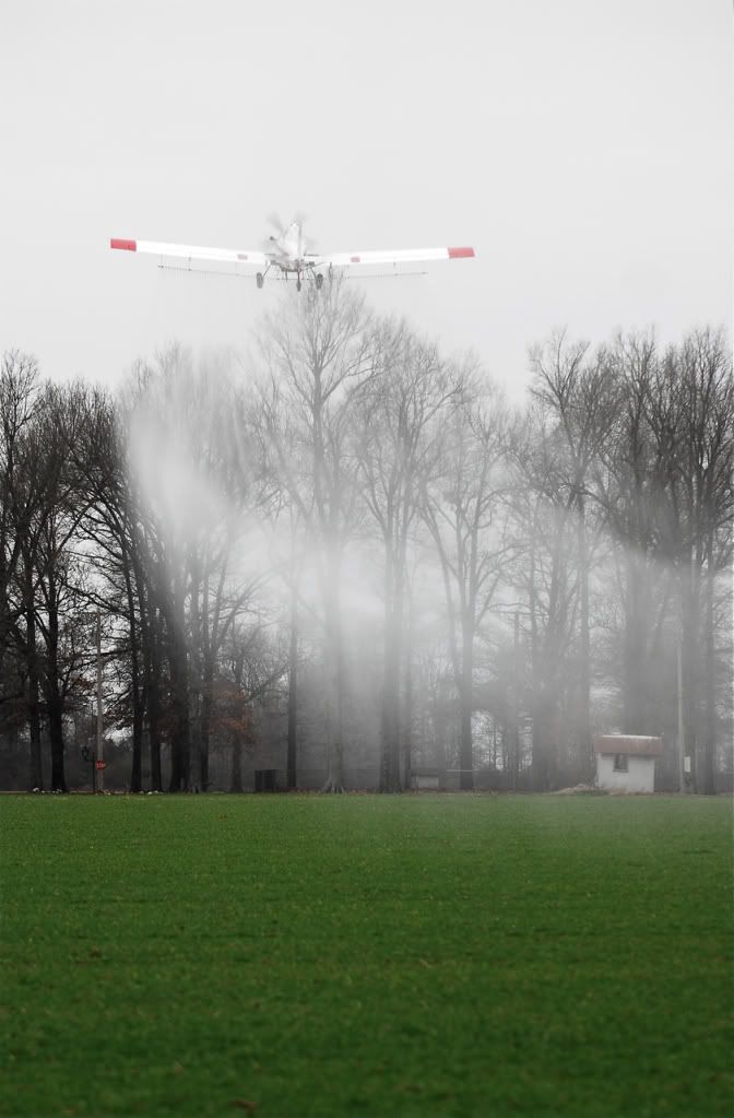
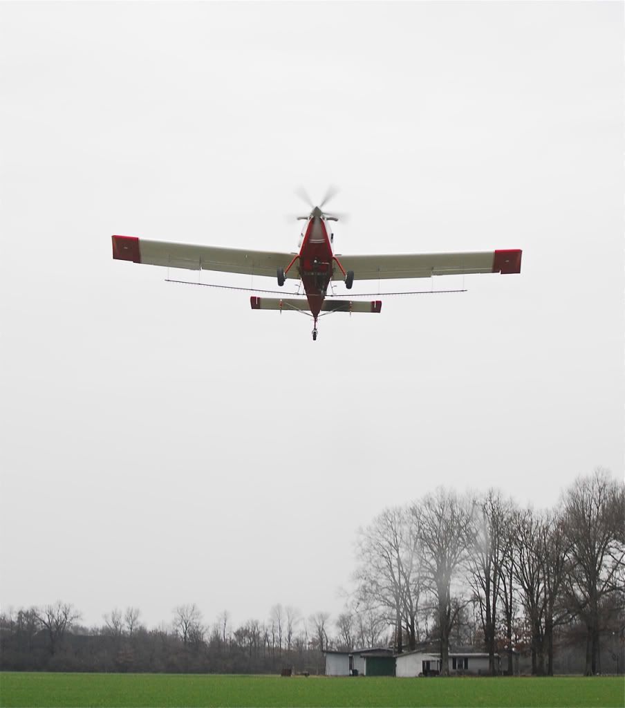
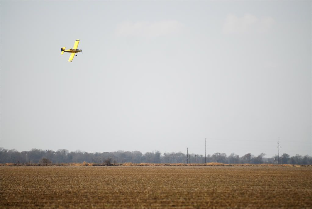
Crop dusting.
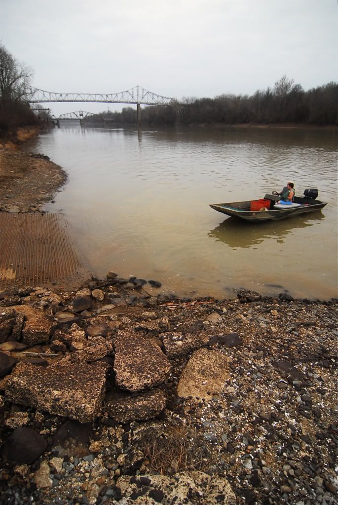
The White River at Clarendon
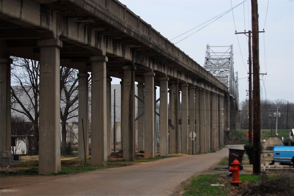
Bridge over White River that runs right through the middle of the dying town of Clarendon.
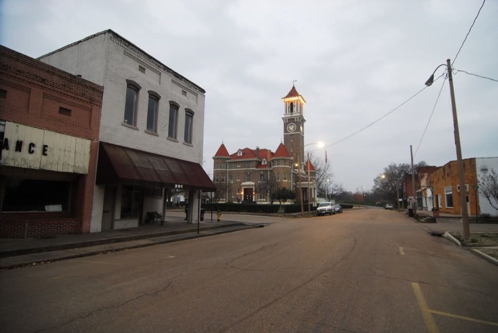
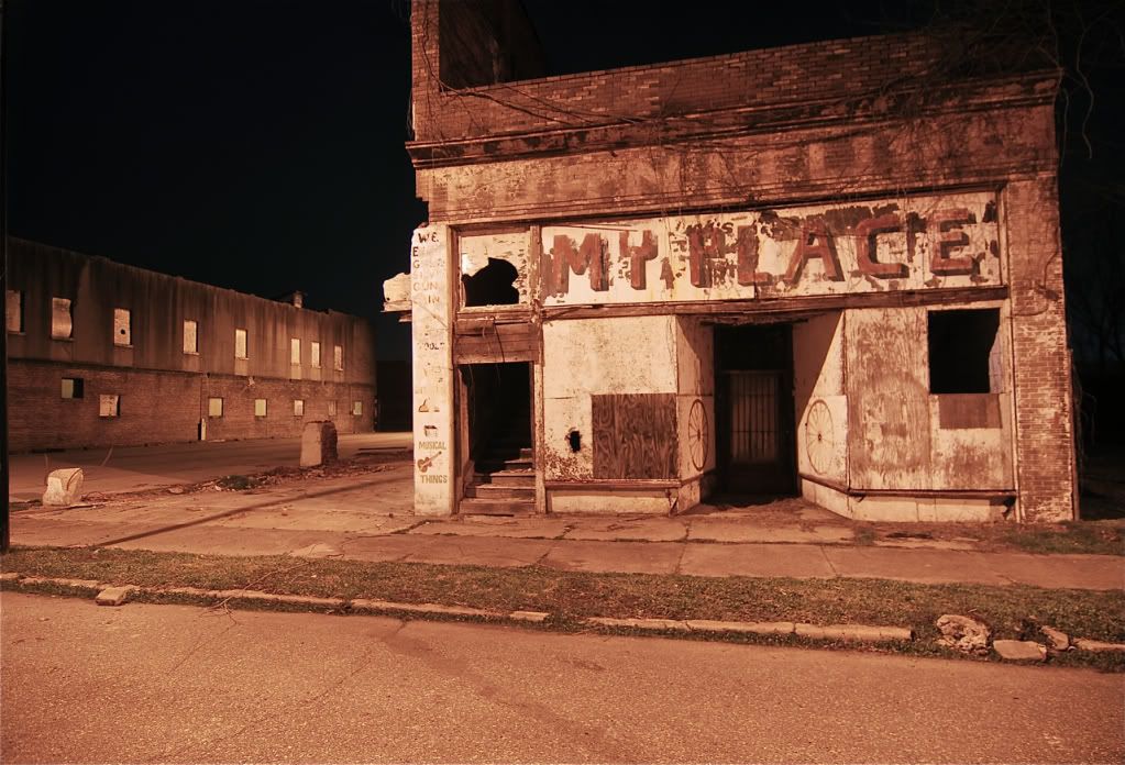
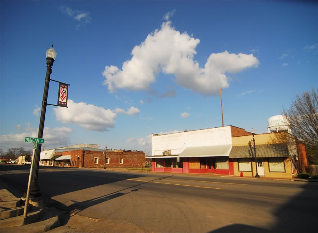
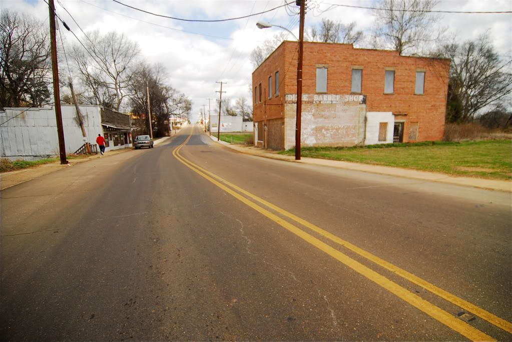
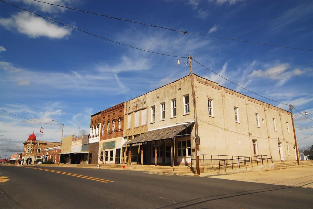
Clarendon, a small town along the White River, which has lost most of its population. They were actively tearing down the remaining historic buildings to sell their bricks. Its a pretty sad situation.
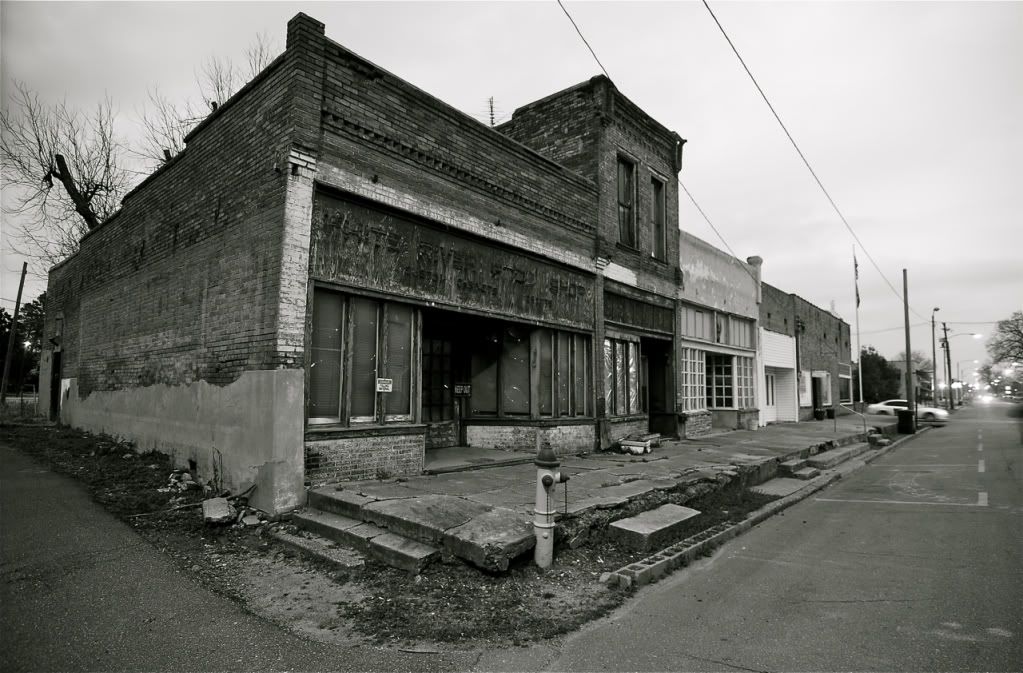
Clarendon
This building was recently sold and is soon going to be torn down for the bricks. Probably the last picture thats ever going to be taken of it.
The small town of Marvel just west of Helena along the Mississippi.
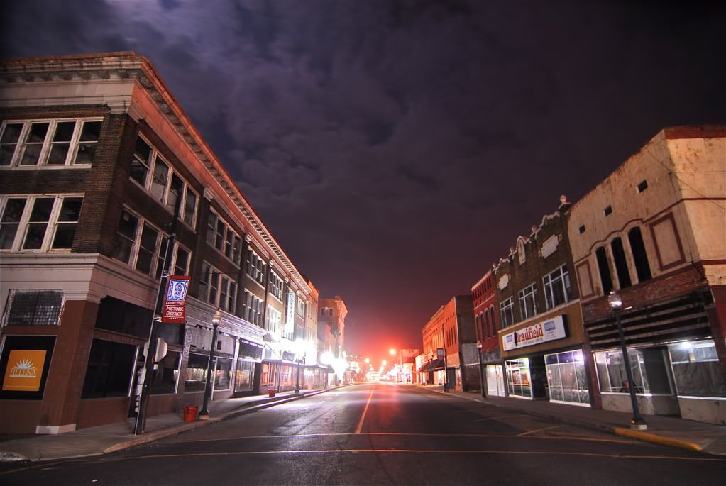
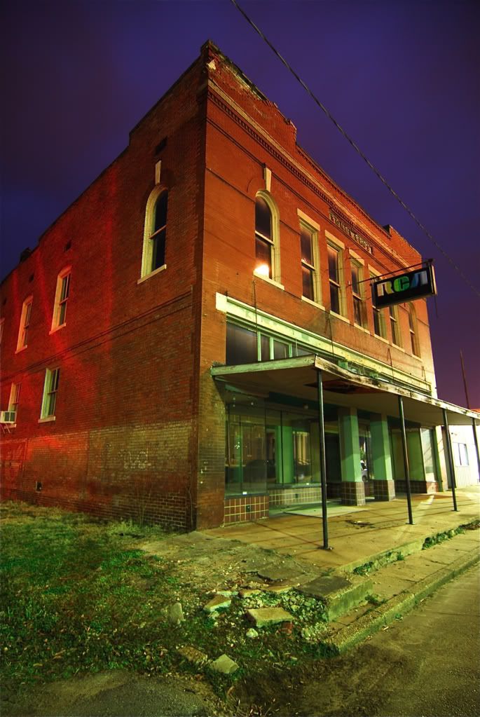
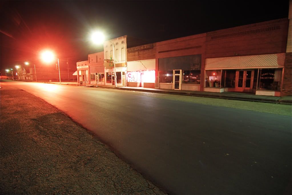
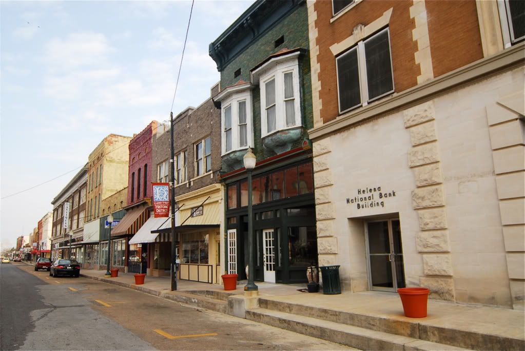
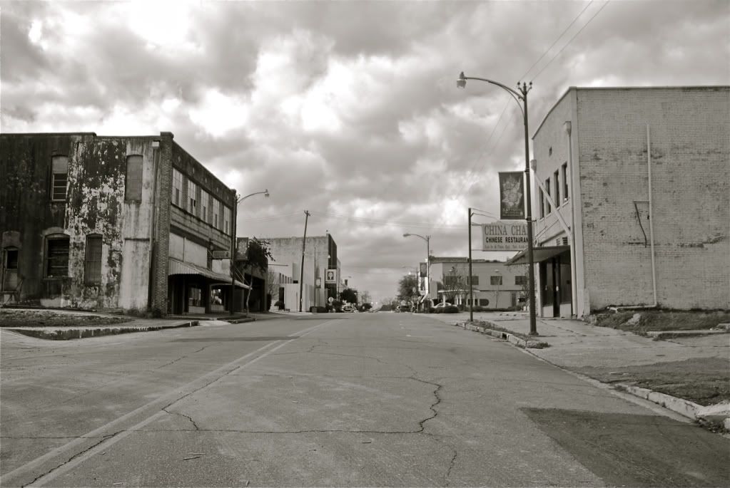
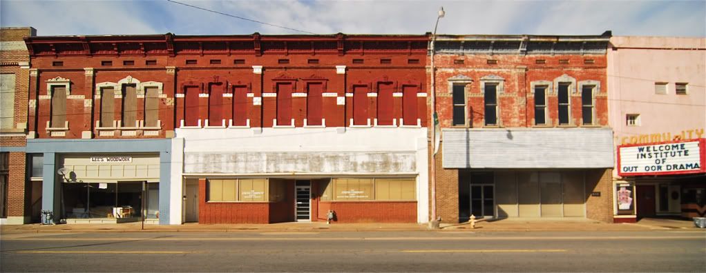
Helena, a town much like Cairo, Illinois. Its downtown is largely abandoned, not quite as bad as Cairo but it doesnt seem to be turning for the better anytime soon. Its one of the most historic towns in Arkansas and one of the oldest.
Helena
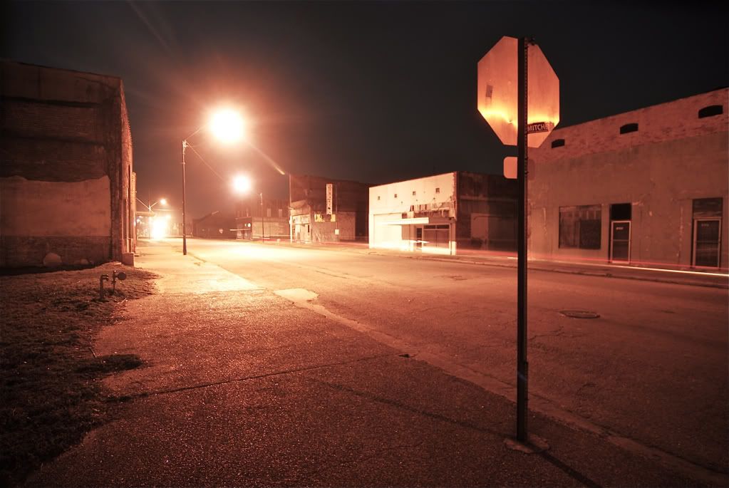
Helena
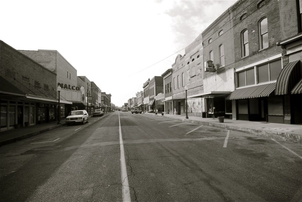
Helena
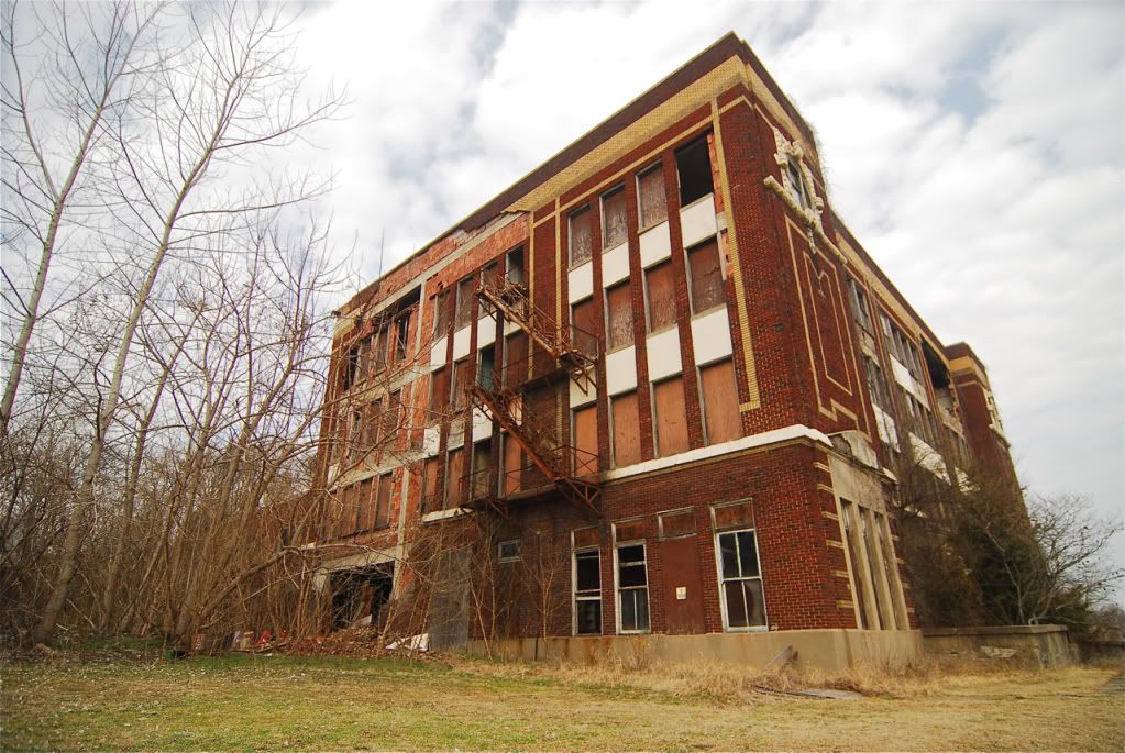
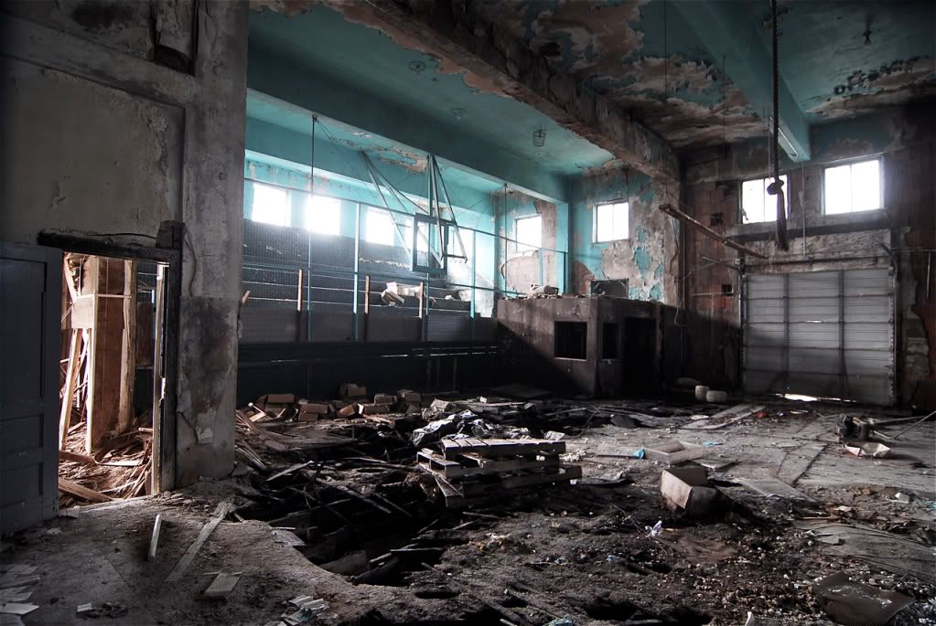
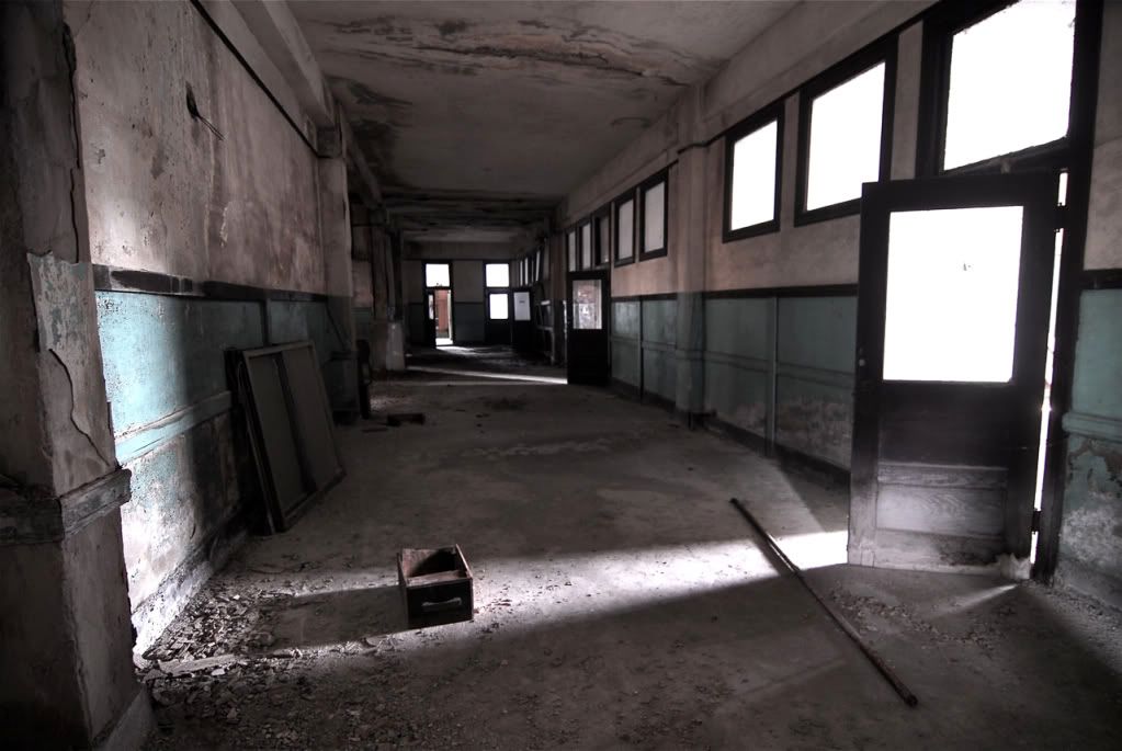
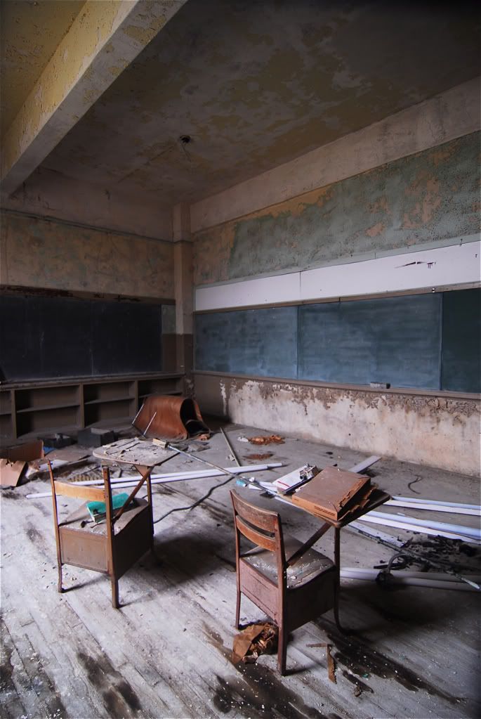
Abandoned school.
Helena
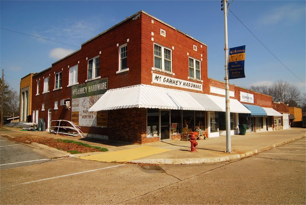
Going south from Helena, the next biggest town you hit is De Witt, its also in pretty bad shape.
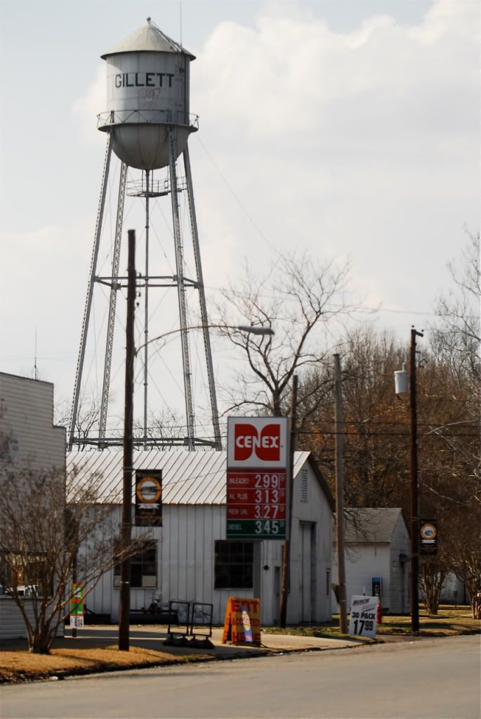
The tiny farming community of Gillett.
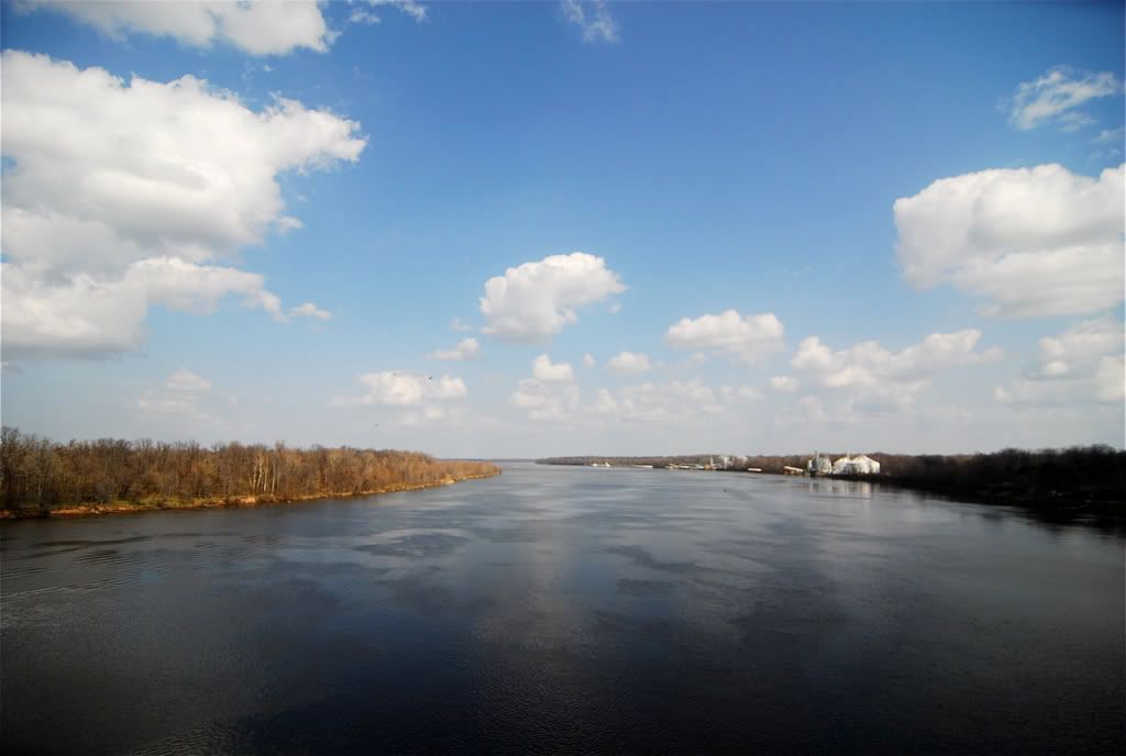
The southernmost portion of the Arkansas River right before it empties out into the Mississippi.
Dumas
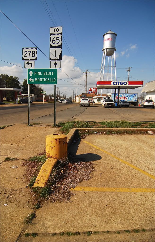
McGehee
Lake Village
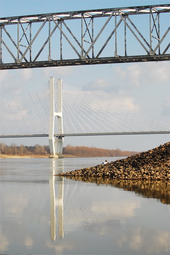
A new bridge across the Mississippi, this is probably one of the last photos of the old bridge, they were actively dismantling the bridge while I was there.
Arkansas most south easterly town, Eudora.
Getting out of the delta, you enter the Pinelands, an area of Arkansas that is also quickly depopulating.
Hamburg.
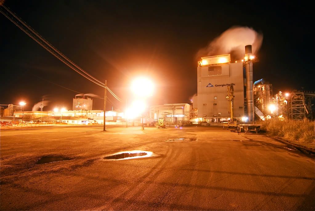
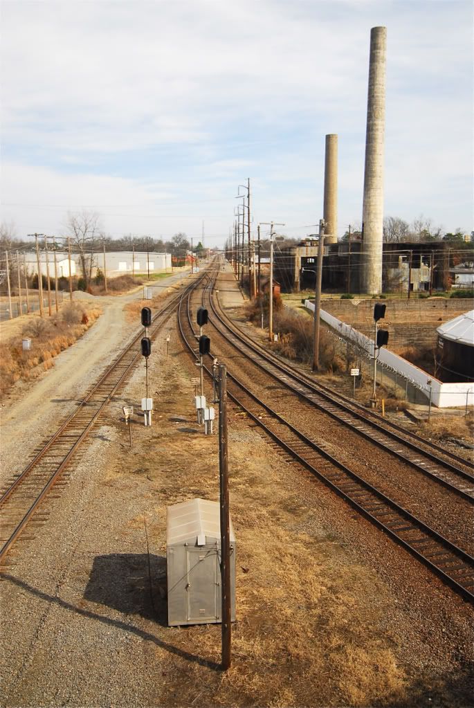
Crossett, a big lumber mill is in this town, the only major industry in the region.
Crosset
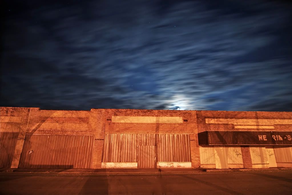
Tiny town of Strong, the old commercial buildings are all abandoned.
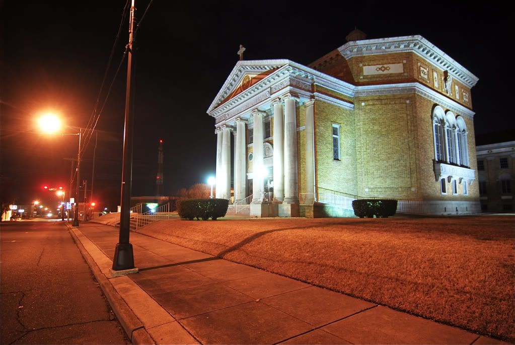
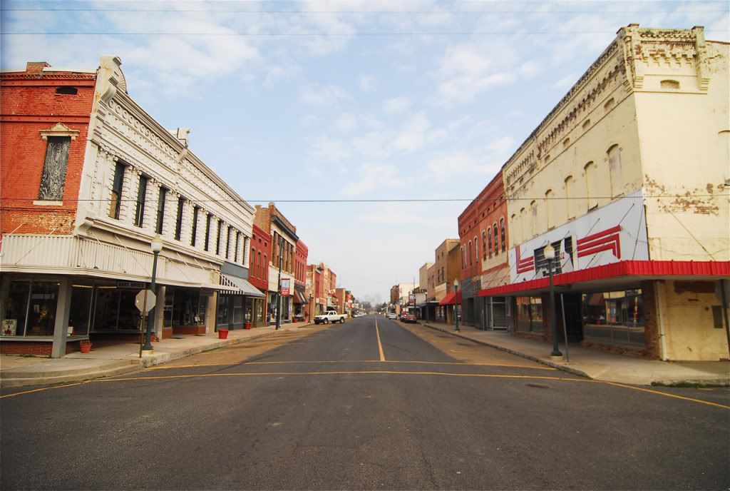
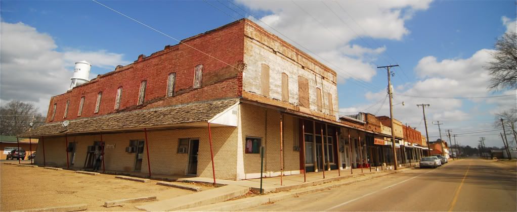
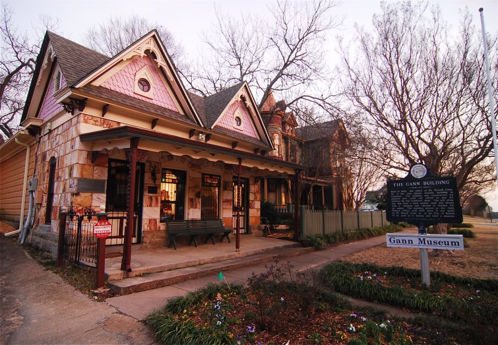
El Dorado, the only town in southern and south eastern Arkansas that has a lively downtown, but its still lost 4000 people in the past 10 years.
El Dorado
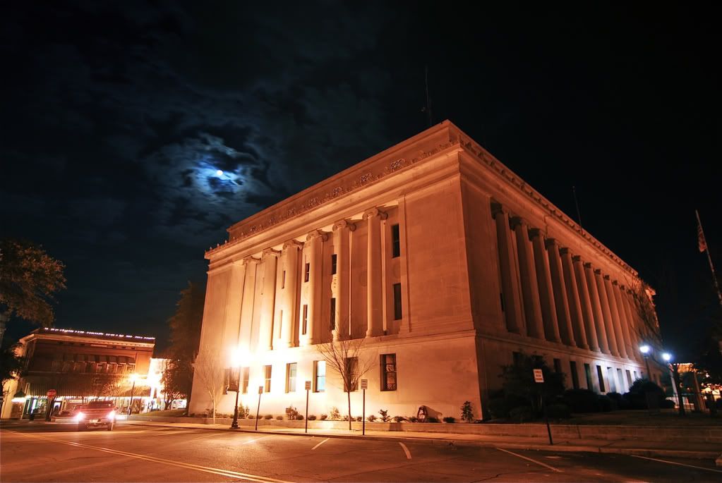
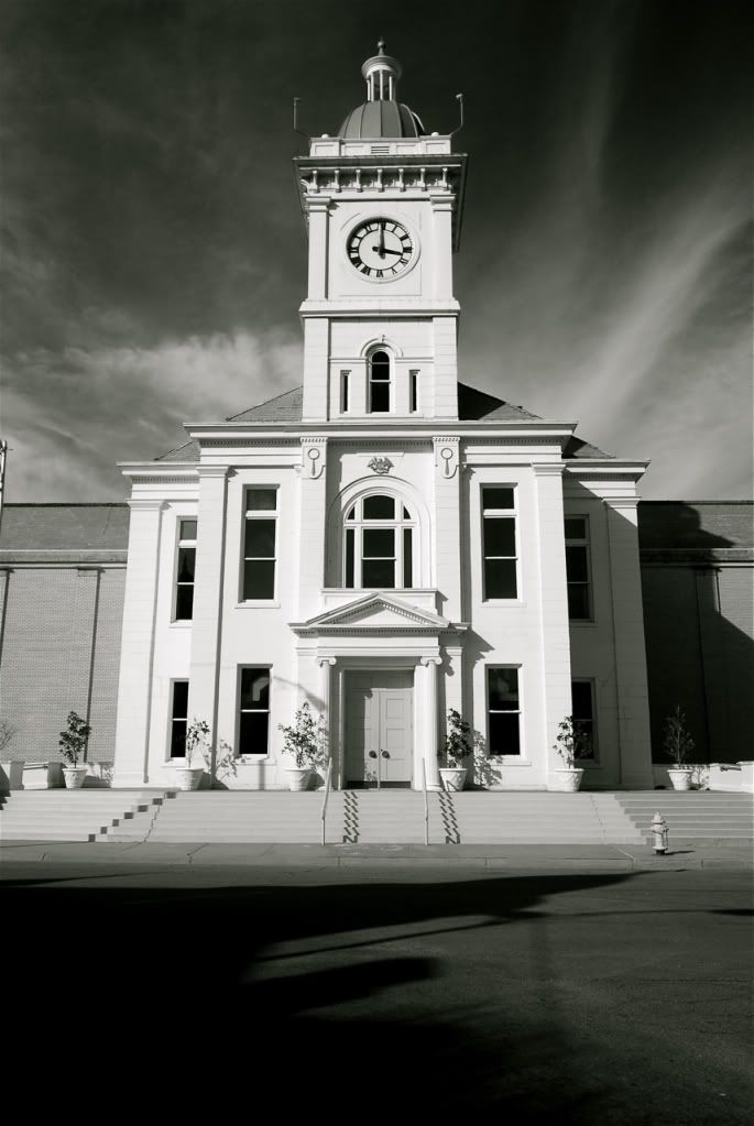
The amazing El Dorado courthouse.
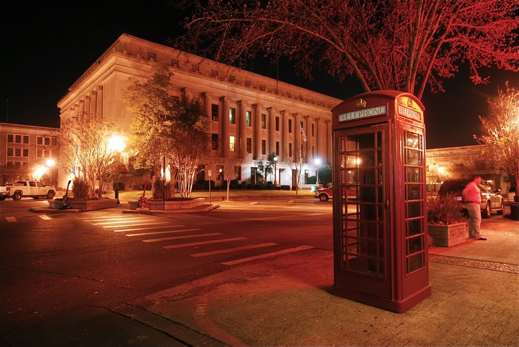
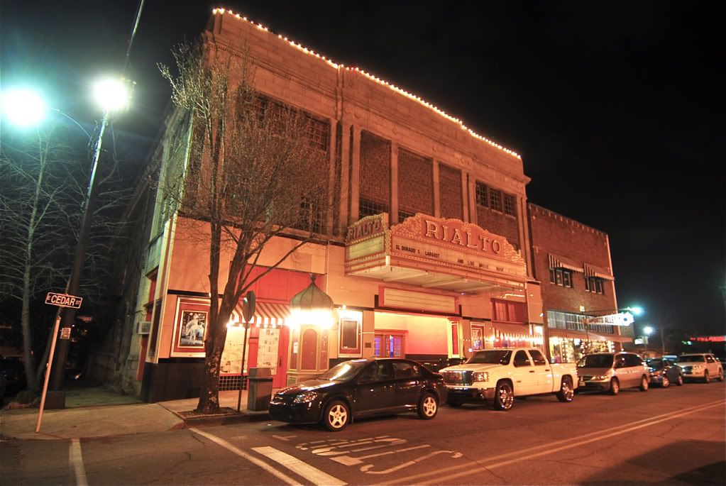
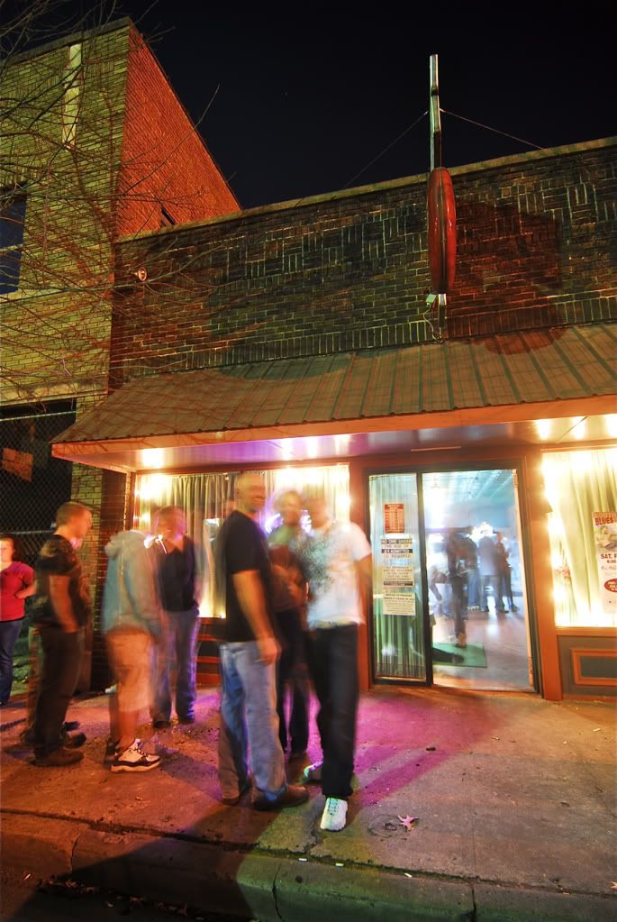
El Dorado
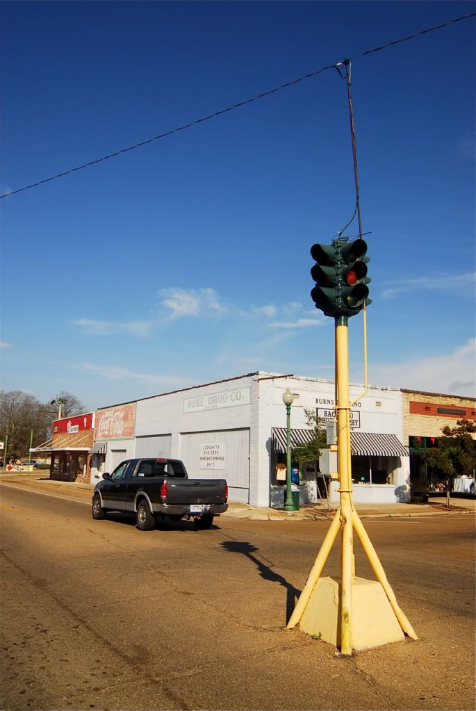
Going north of El Dorado, the next small town is Smackover. This part of the state saw lots of growth in the 1920s due to an oil boom. Thats where El Dorado got all of its money and why they were able to build one of the most incredible courthouses in the state.

Smackover.
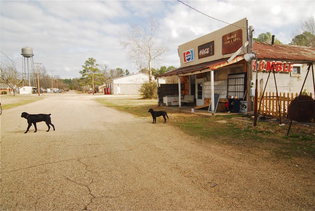
The tiny hamlet of Louanne
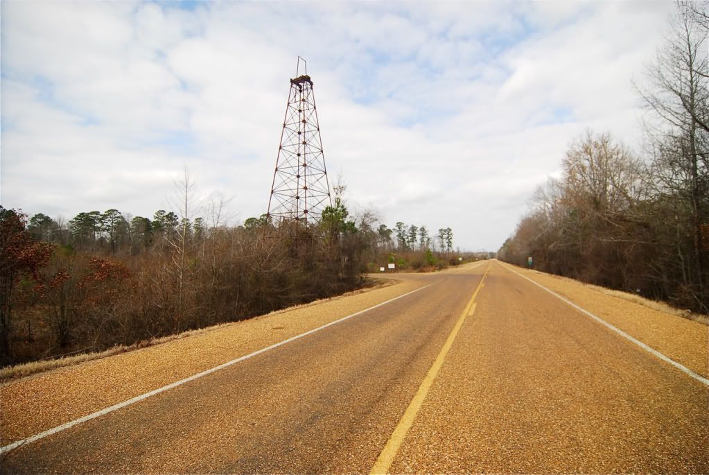
One of the last historic oil platforms left in the state and the south, probably from the beginning of the oil boom in the 20s.
Camden
Camden
Bearden
Fordyce
Fordyce, just south of Pine Bluff.

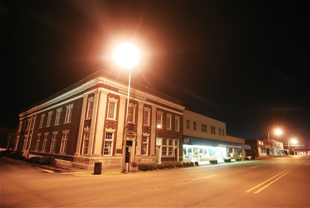
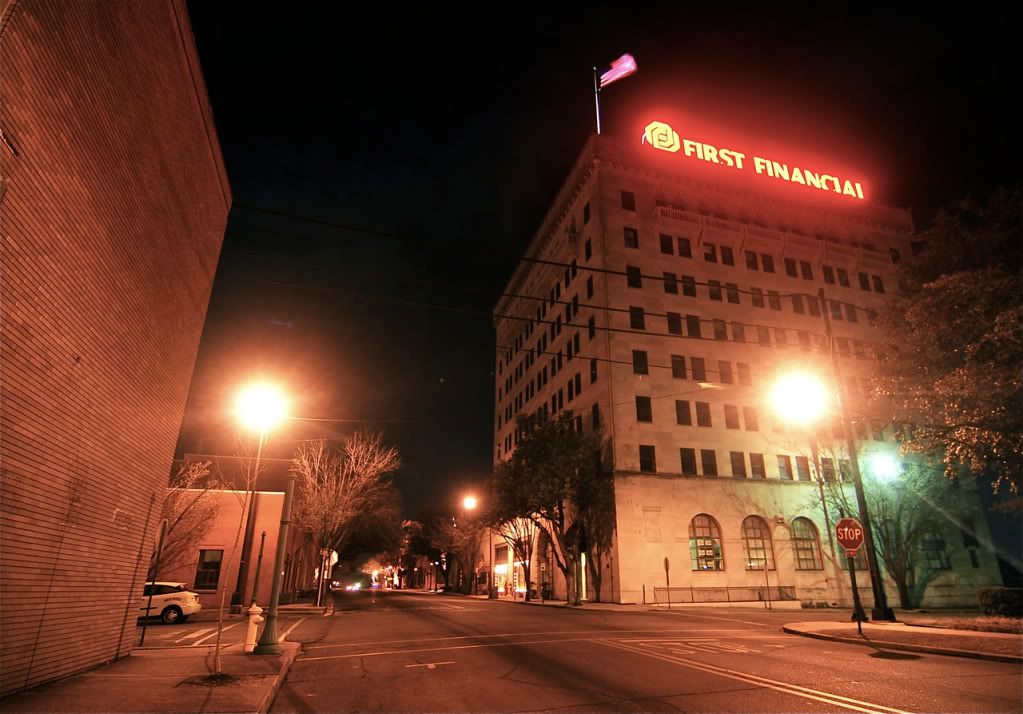
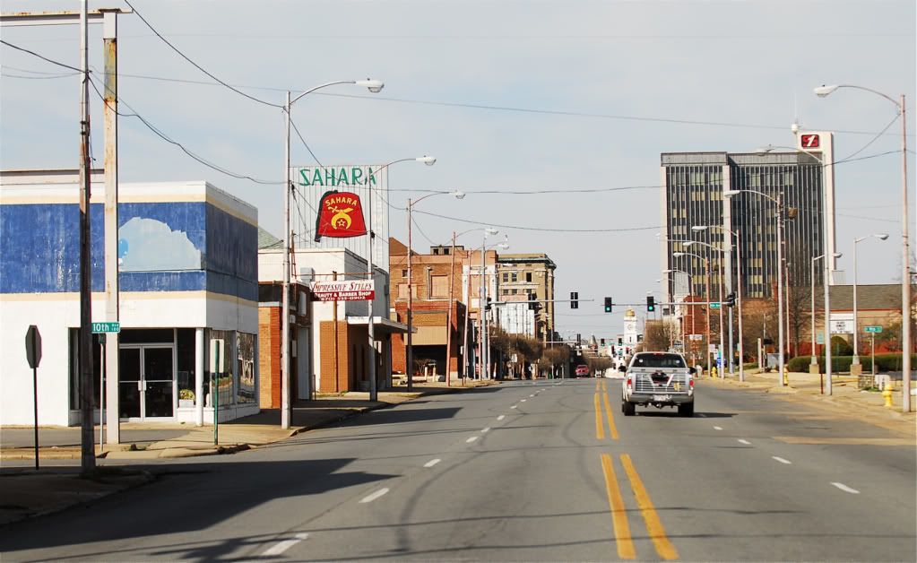
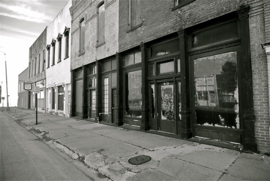
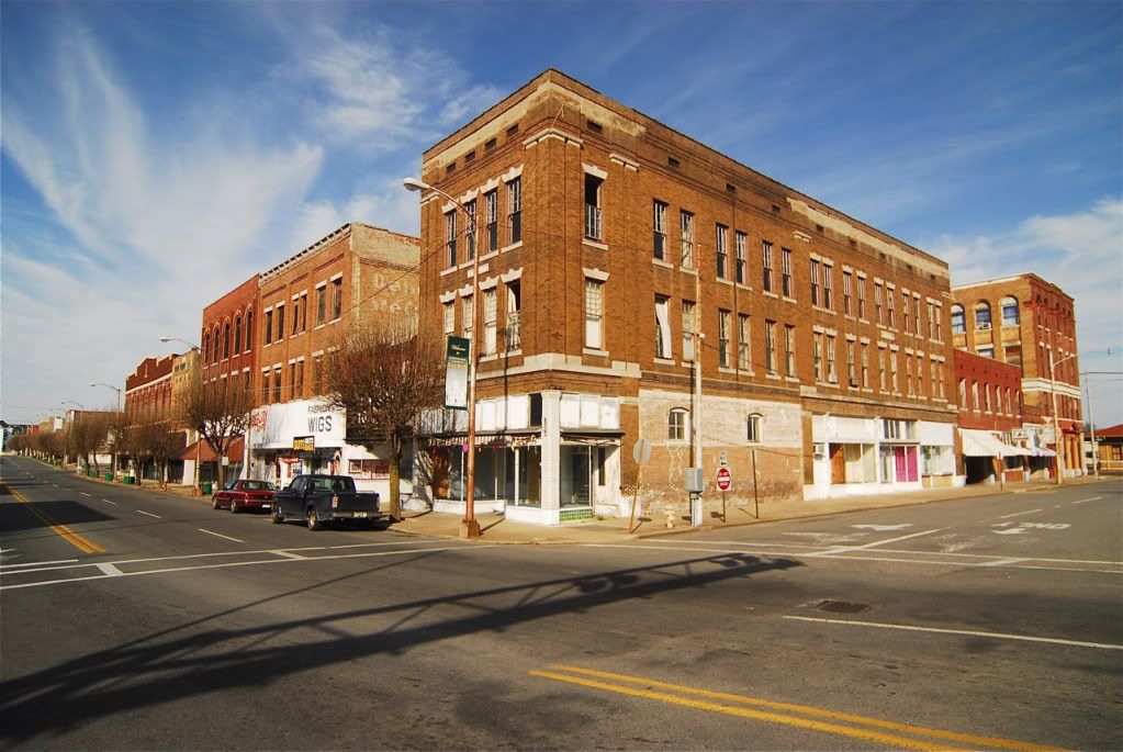
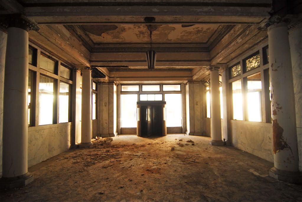
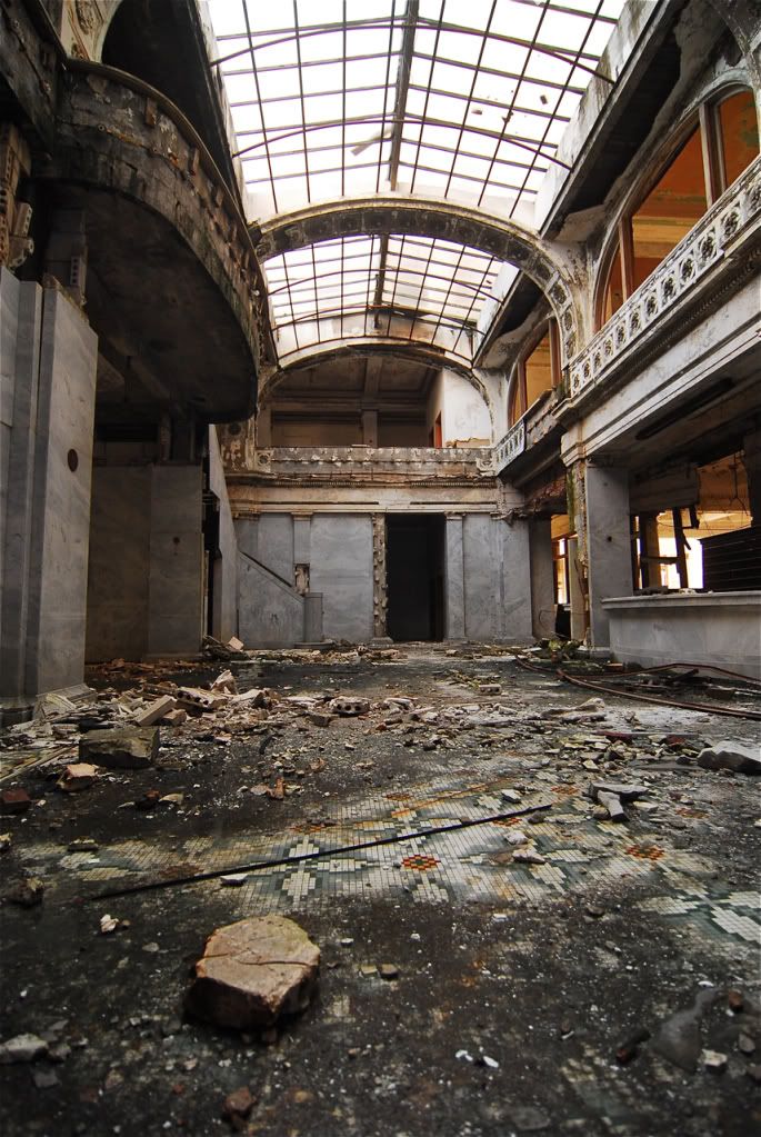
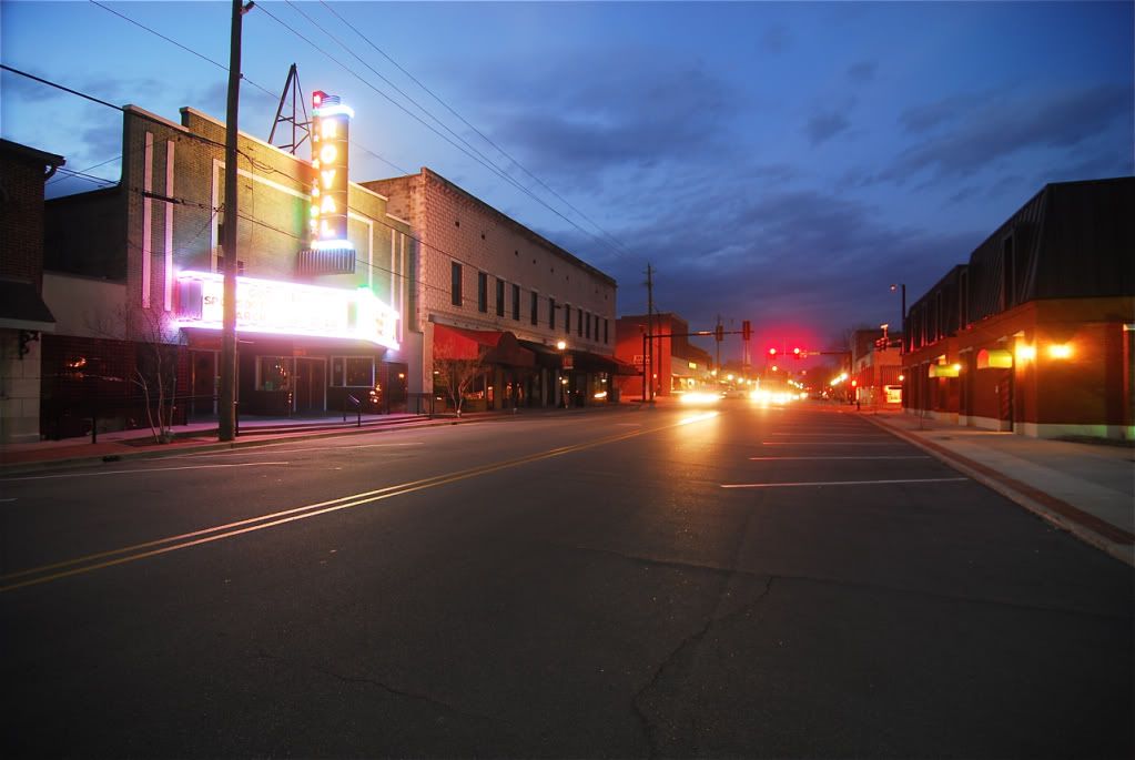
Pine Bluff, a large river town that once rivaled Little Rock and Forth Smith in opulence, its now losing population fast and its downtown is almost completely abandoned.
Pine Bluff.
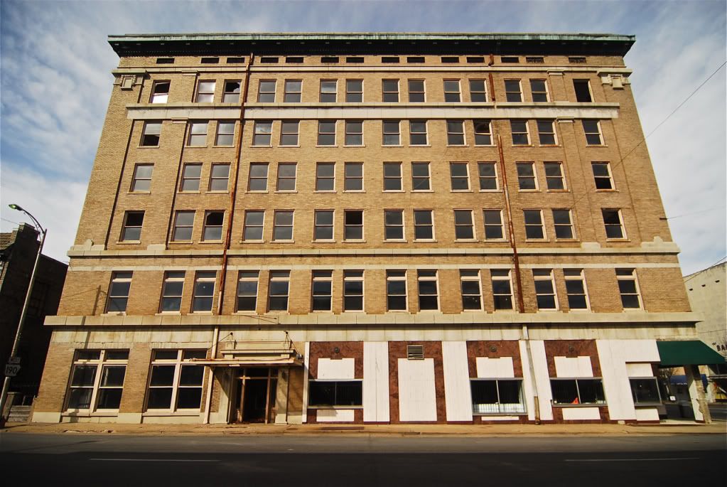
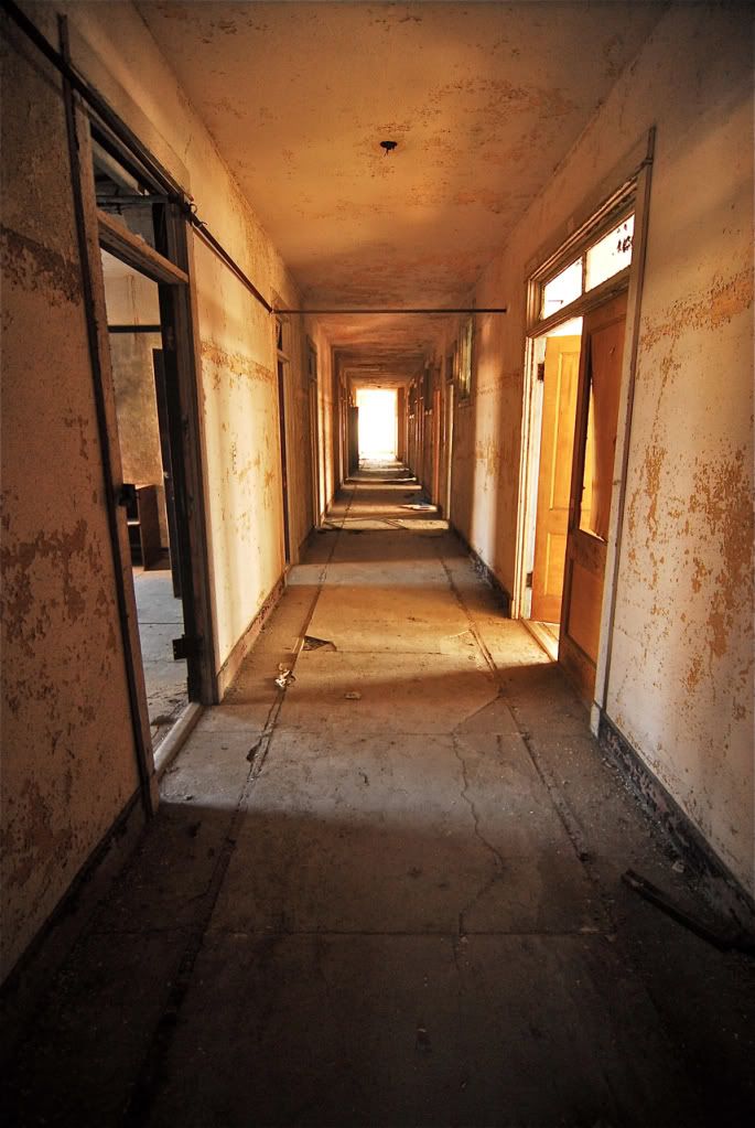
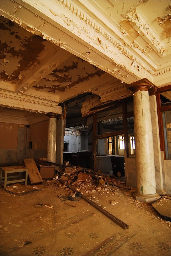
Abandoned hotel.
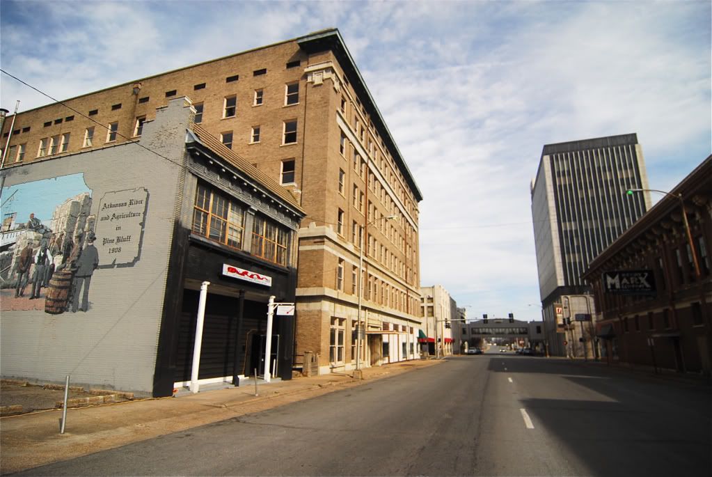
Pine Bluff
Pine Bluff
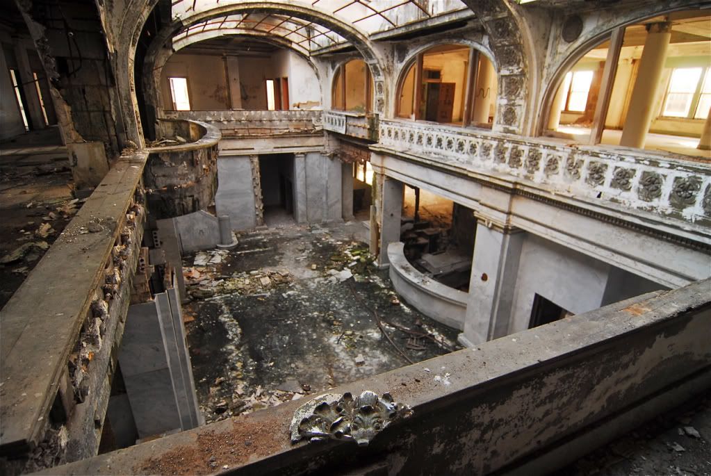
Abandoned hotel downtown, its beyond repair as are most of the buildings downtown.
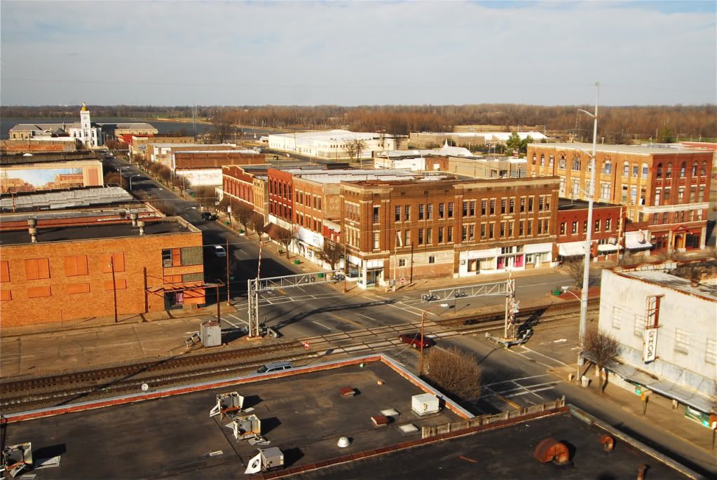
I was able to get to the top of the building, pretty impressive views from up there. Every building you see, except the courthouse, is empty.
Going west of Pine Bluff you come across the small town of Sheridan.
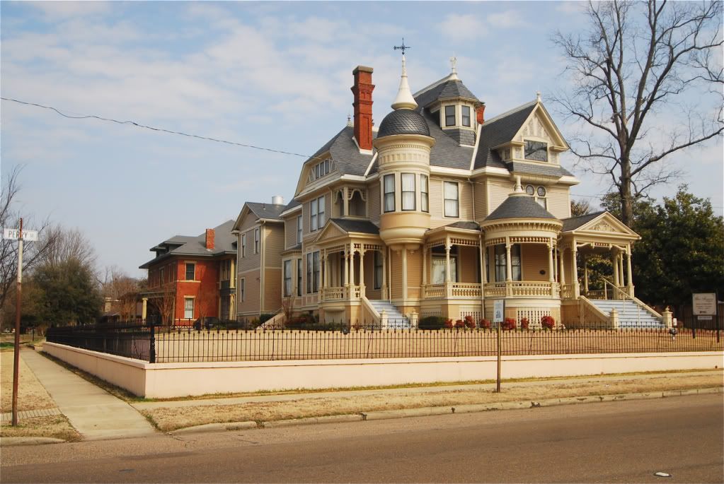
Benton, this town and the county its located in have increased in population, as it is sort of an exurb, maybe suburb, of Little Rock, like Conway, north west of Little Rock.
Benton, the only building in the world built out of Bauxite, a rock mined almost exclusively in the state.
Benton


 Prev
Prev


 Hybrid Mode