-Regent Park lies on the East side of downtown Toronto
-built in the late 1940s.
-looks similar to some of the housing projects in New York and Chicago, but in lowrise form
-gradually being torn down and replaced with buildings that are aligned to a restored street grid
-along major streets that buildings have/will have retail, with townhouse units at the base of some of the buildings along frontages of secondary streets
-surface parking lots and setbacks will be gone
-when completed will have twice the number of residential units as it did before the redevelopment
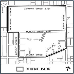
Map of area:
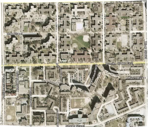
Aerial view:
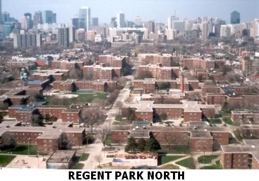
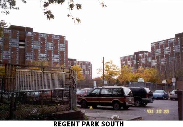
In these pictures you can see all the unused open space and lack of retail at the base of the buildings:
Google Streetview of Phase 1, which includes a Sobey's supermarket and other retailers:

Below pictures from the following article, "Phase 1 of Regent Park revitalization nears completion":
http://www.blogto.com/city/2010/03/p...rs_completion/


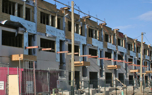
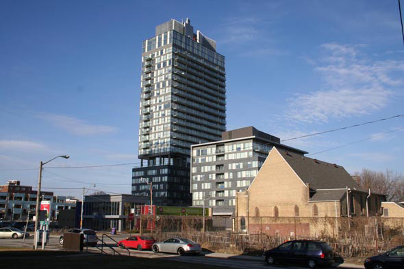
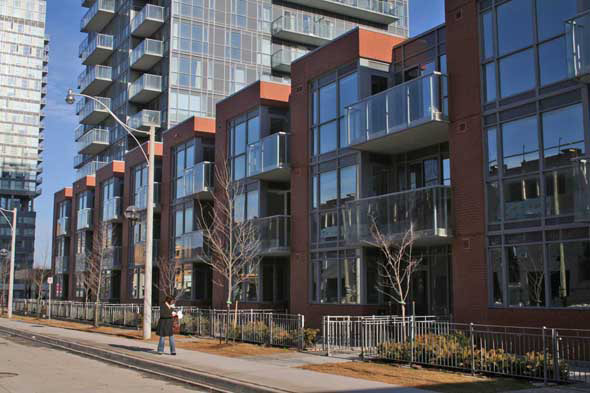
Phase 2:
http://www.torontohousing.ca/news/20...park_phase_two


