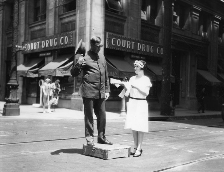
Hello all, I am newly registered but I've been following this thread for about a year - from around page 220 (and then reading all previous pages too, of course!). It's easily one of the greatest forum threads on the web. I finally registered because I thought the following was just a little too cool to keep to myself:
I have been having fun using Google Earth to load vintage USGS topographic maps, and then loading modern 3D buildings on top of them. This works especially well in the LA area as there are thousands of buildings rendered in 3D, and a large number old topos available for LA County. Here is an example of downtown:
(Click image for full size)

credit: USGS via Gelib (linked below)/Google Earth
The USGS map used is from 1928. In this example, I un-checked most of the display options like labels, streets, etc., for the sake of cleanliness.
To get the index for the topo maps, go here:
http://www.gelib.com/historic-topographic-maps.htm
Just open the .kml file link on that page using Google Earth and you will get outlines of the available topos, which you can then select to load by clicking its name on the Google Earth map. There are a few broken links but a large number of 1920s and 1930s topos available. The overlays' opacity can be changed so you can see the modern aerial imagery beneath a semi-transparent vintage topo. In my picture above, I have the Los Angeles 1928 topo selected in the Places window at left, and the transparency slider is just beneath it. You can also select to hide a specific 3D building by right-clicking it. (It will remain hidden until Google Earth is restarted.)
It's very interesting to see the modern buildings laid on top of the old street grid - seeing what is different and also what is the same, and it's helping me to mentally place old images from the thread.
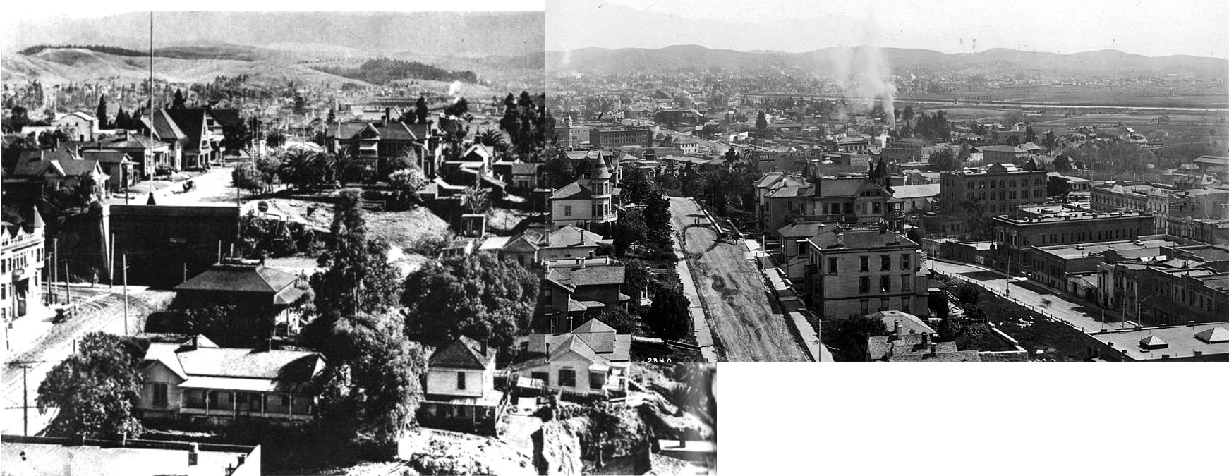
Since I went ahead and registered I also decided to do a quick photo stitch of the two pics from page 428 that were taken from the county courthouse. None of the programs I had would connect these because they're too different, so I did it manually. It's rough because of the different resolutions but I think they really were taken from the very same spot so it turned out pretty ok:
(Click for full size)

left side from
http://www.skyscrapercity.com/ via post by ethereal_reality; right side from CC Pierce Collection via MichaelRyerson's post and
Flickr stream
Couple of comments that I've been sitting on while waiting for posting privileges:
Quote:
Originally Posted by BifRayRock

|
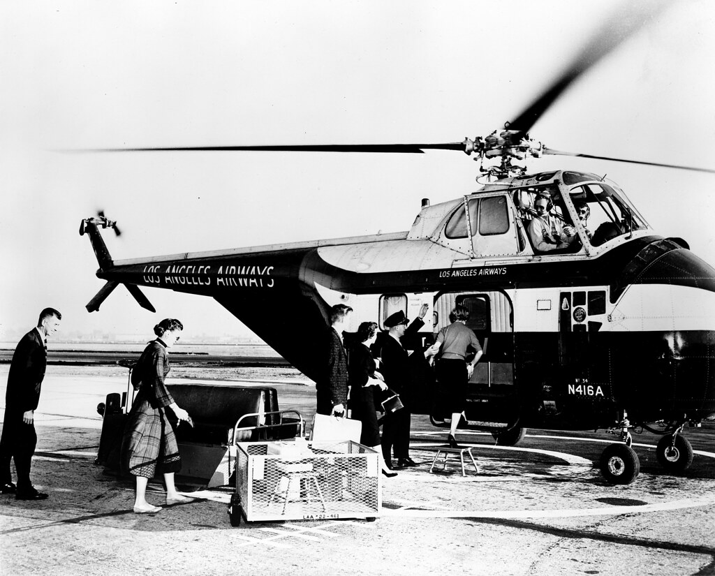
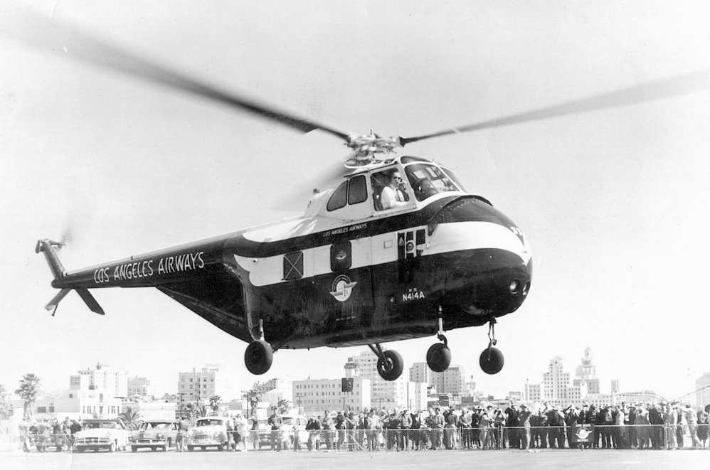
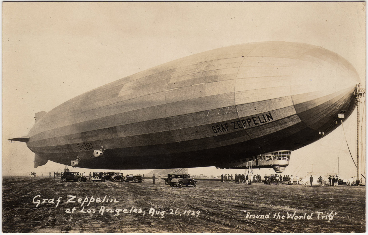
I think it more likely that the Zep Diner and especially the Los Angeles lamp were spawned by the
USS Los Angeles, built by the Zeppelin company for the US Navy (in part as war reparations), and predating the Graf Zeppelin by several years (notice the LZ127 on the Graf; before delivery the Los Angeles was numbered LZ-126).
Couple more things:
Quote:
|
Can a penny on the track cause this much damage??
|
During my childhood in Fullerton, my first attempt to put a penny on a railroad track resulted in the penny being squirted out from under the slow-moving freight train's wheel and off into the rocks about 30 feet away. I never found it. I returned with more pennies and some masking tape. What I retrieved the following day was a
very squashed penny with just the faintest hint of a smeared Lincoln Memorial on one side.

A second penny was left for several days and ended up as a squarish copper-colored blob spread so thin that there was a hole in it.
RE: the railroad & bridge flood picture -
Quote:
|
That looks a little like North Figueroa and Riverside Drive. The bridge is all wrong though
|
That's because that is the second Dayton Avenue Bridge, which replaced the first in 1927-28. It was replaced by the current Figueroa St./Riverside Dr. bridge in 1939 when the LA river was lined with concrete in part as a result of the pictured 1938 flood. The eastern approach was retained when they replaced that main arch span. There is a great blog post with many pictures, going over the long history of bridges at that location:
LA Creek Freak EDIT: which of course was linked by Wig-Wag while I was working on this post!
I drove over the 1939 bridge last Labor Day weekend as part of a Route 66 road trip. It is slated to be replaced and comments in the blog post above indicate that restrictions have begun, but I live in Vegas so I don't know if that project has fully closed the bridge yet. Any locals want to chime in?
So, there goes my first post. Thank you all for such a fantastic thread!


 Prev
Prev


 Thanks for the information Wig-Wag...greatly appreciated Jack.


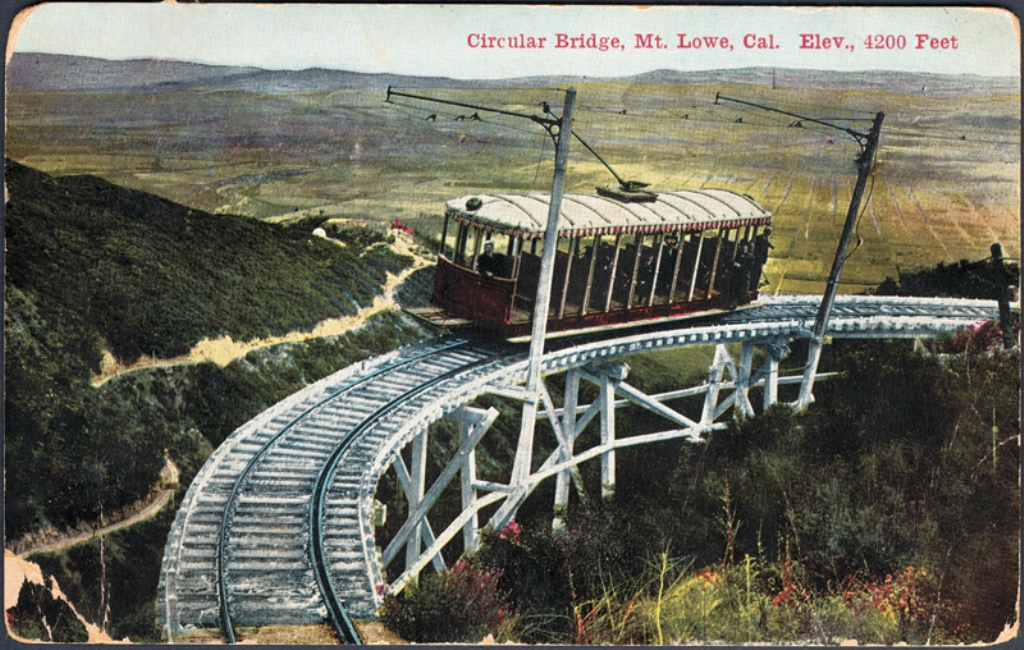
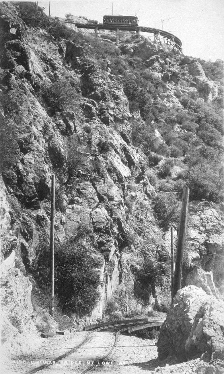
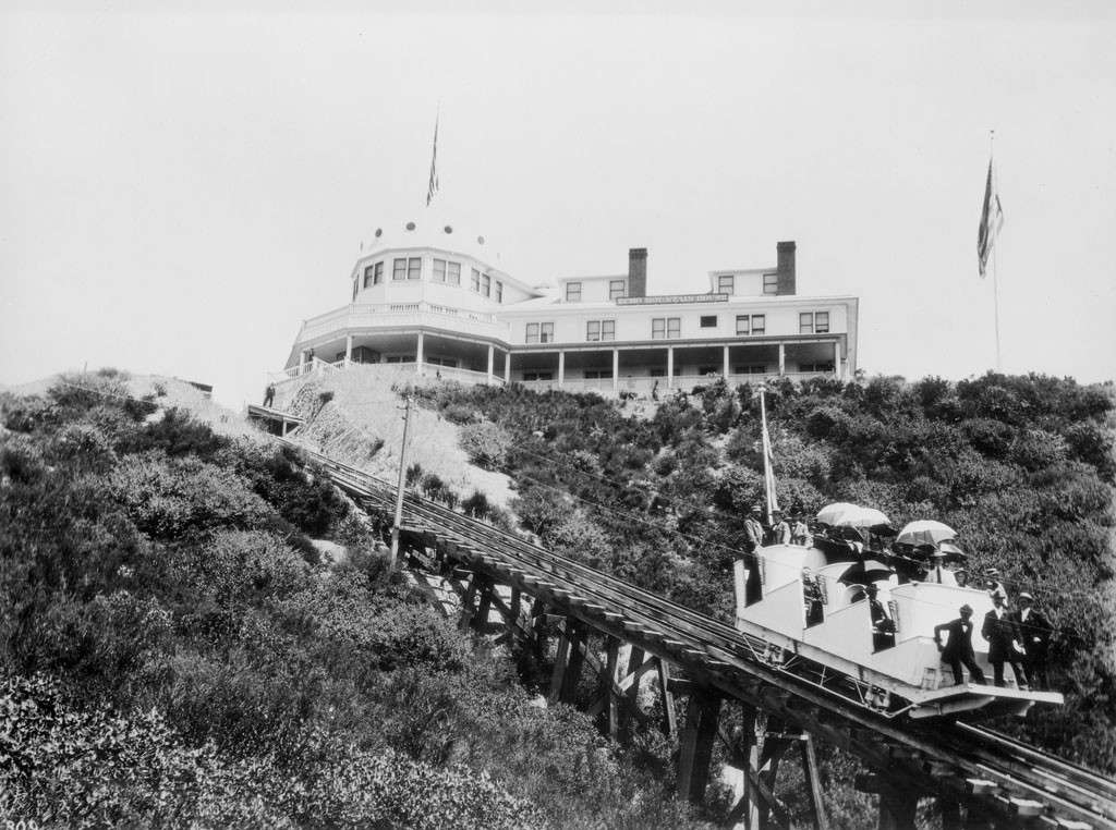
 Most of the views of T. Lowe's Lookout Mountain make it seem remote and rustic.


 ebay.com


 Linear Mode
