Wow thanks
HossC for the image improvement on the view I had posted at
http://skyscraperpage.com/forum/show...ostcount=16939. There is much more detail now. Nothing wrong with the spelling that a stray ~ won't fix

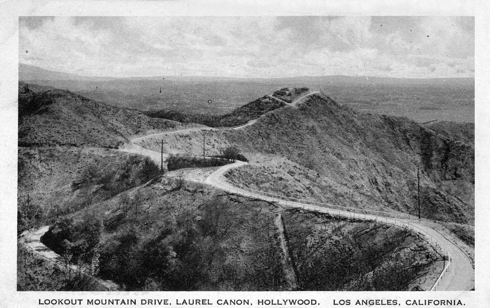
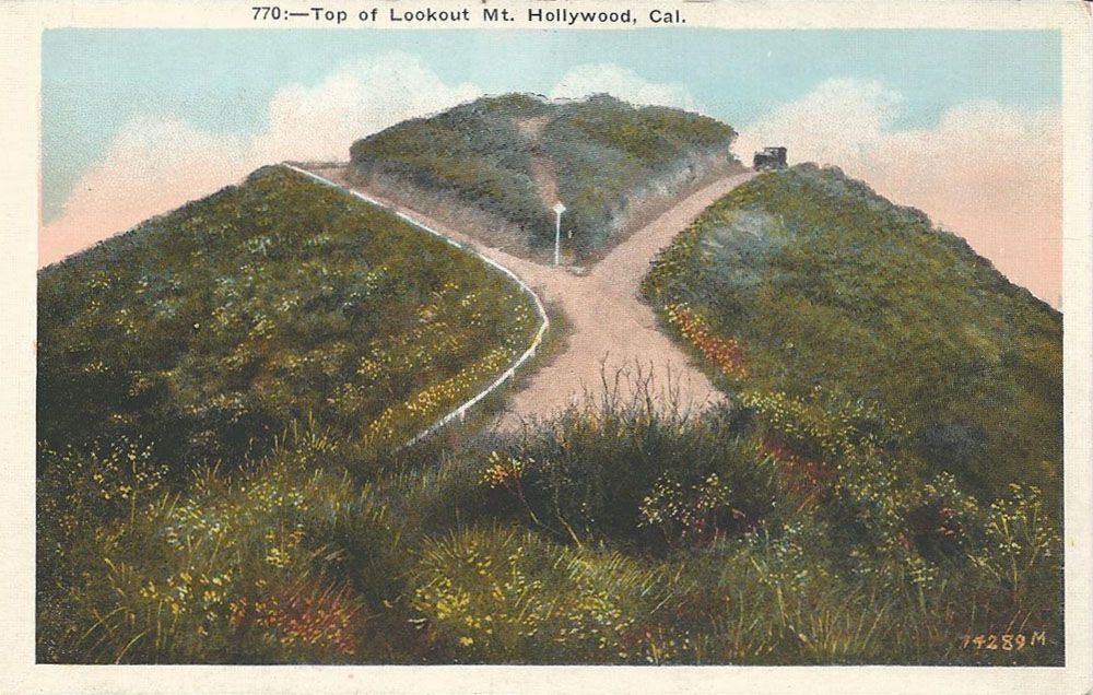
Your photograph shows Lookout Mountain (from the higher vantage point of the Lookout Mountain Inn, looking SE). The road to the loop is Appian Way. It dead-ended until 1925 when the knoll was leveled off and Appian Way was extended down to Stanley Hills Drive. You can clearly see Lookout Mountain Avenue start its descent to Laurel Canyon in the lower left-hand edge.
There are at least two other pictures of the Double Bow Knot area posted on this thread that look like they came from the same source as your photo - all three have the same caption. The first picture is looking towards the SE and Laurel Canyon, the second is looking on the opposite side of the switchback NW towards Briarcrest Peak. Looking more closely at the second picture, you can see something interesting: the road is clearly eroding. I've circled in red areas which have been washed out by rain. We are seeing the start of the separation of upper from lower Crescent Drive. And looking again closely at your picture, it looks to me there has been a fire, and the bandstand is gone. So all three are probably from about 1920.


The high ground at the upper right is Briarcrest Peak, which has the 250' tall KYSR radio tower on it today. Judging from the lack of development in the Wonderland Valley area, I'd guess that they stopped maintaining the switchbacks shortly after the hotel burned in 1918.
Erosion is still a problem up here. I took this picture yesterday on upper Crescent Drive at Wonderland Point:

And here is a picture of an upper switchback looking downhill:

I have marked up an old topo map to show the street names as they are today:

green = Lookout Mountain Avenue
turquoise = Crescent Drive, including the "Double Bow Knot" switchbacks separating upper (to the W) and lower (to the E) Crescent Drive
purple = Appian Way
red = upper Sunset Plaza Drive
maroon = Wonderland Avenue
As a postscript, I have learned that this thread can sometimes represent something more than nostalgia for a mostly forgotten past.
Last week I got an e-mail via the Laurel Canyon Association from a group of upper Crescent Drive neighbors. They had seen my and 3940dxer's and e_r's (and now HossC's) posts on the area and wanted more information about the early days.
It seems that
other neighbors on upper Sunset Plaza, including the current owners of the site of the Lookout Mountain Inn, want to close off and gate their segment of road (indicated in red on the map above). As you can see, that would cut off one of the Crescent Drive neighbors' two escape routes available to them (via Sunset Plaza Drive) in event of fire. This would force them to exit on Wonderland Avenue. Sunset Plaza is not shown on map as the map predates it, and upper and lower Crescent no longer connect.
It turns out that the red segment is a private road, but one that has some sort of city easement. It has always been freely accessible since I moved here in 1988. The Crescent Drive neighbors have a better case now because of the posts locating the Inn. Obviously the roads leading to the Inn were public roads, created by the developer in 1908. And it is harder to close off a road if it can be shown that it had a significant history of public use. A court hearing is scheduled for November, and I will try to attend.


 Prev
Prev


 (to be fair, I believe she has had some personal/health problems)


 Linear Mode
