 Posted Oct 17, 2007, 1:53 PM
|
 |
..........
|
|
Join Date: Jan 2006
Location: Southwestern Ontario
Posts: 15,184
|
|
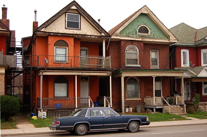
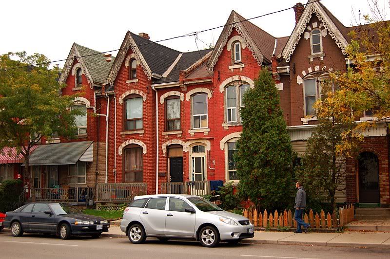
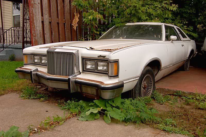
Some notes on the photos:
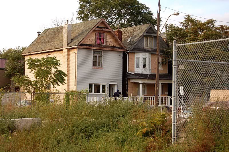
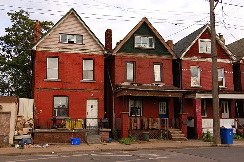
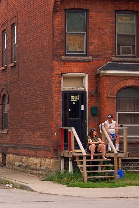
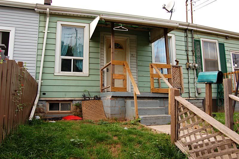
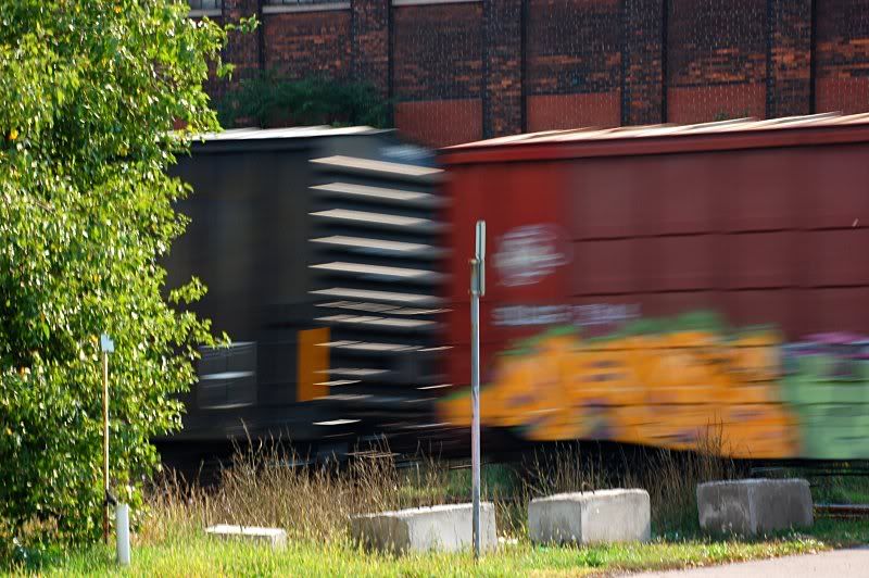
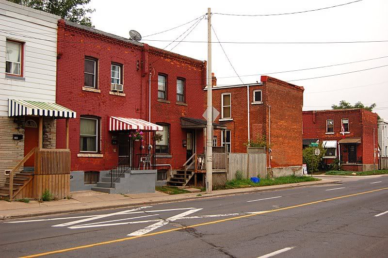
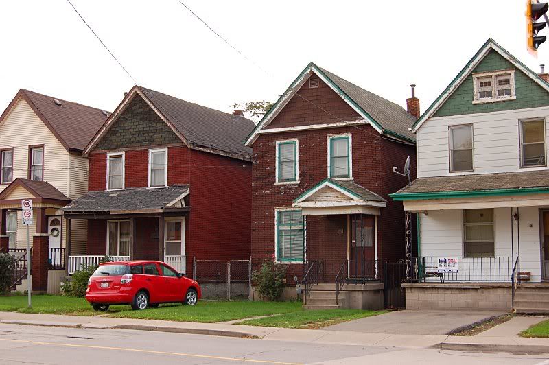
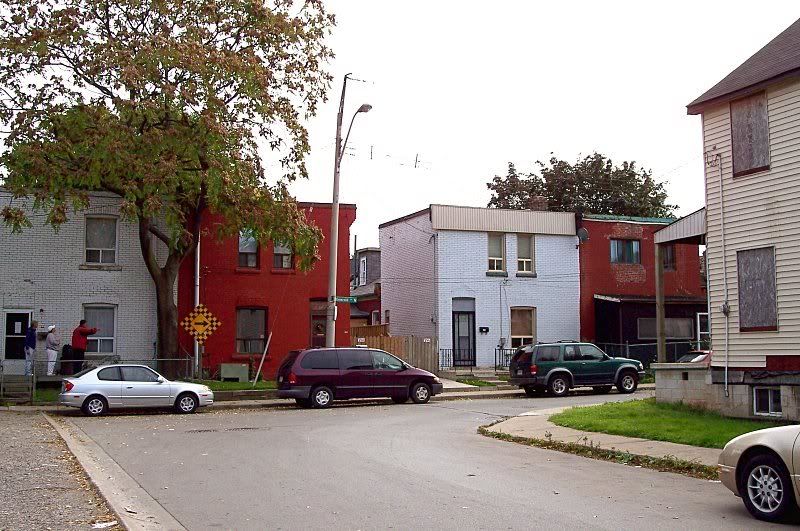
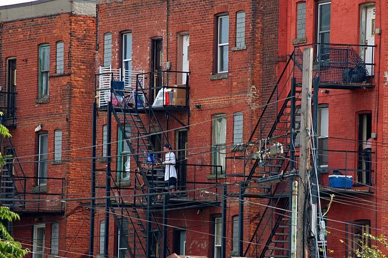
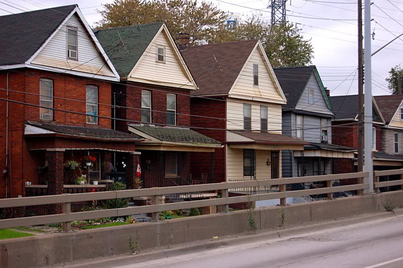
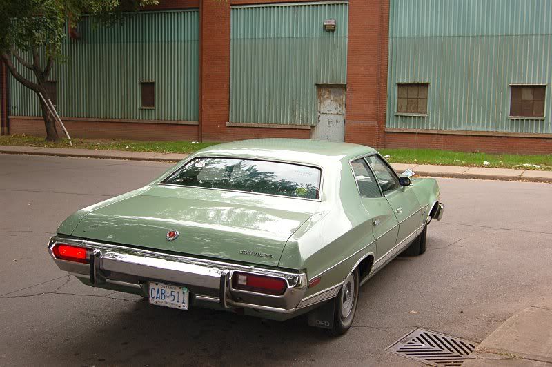
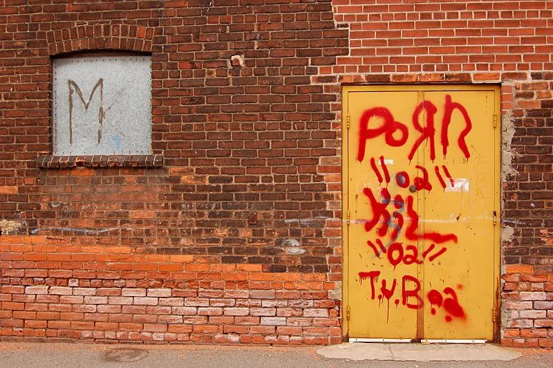
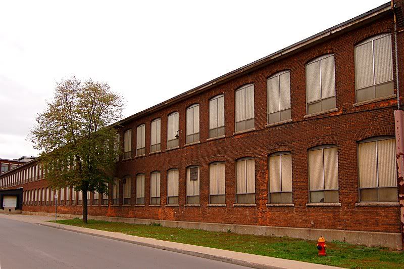
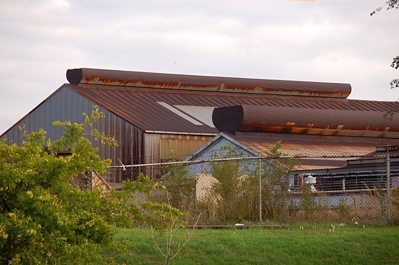
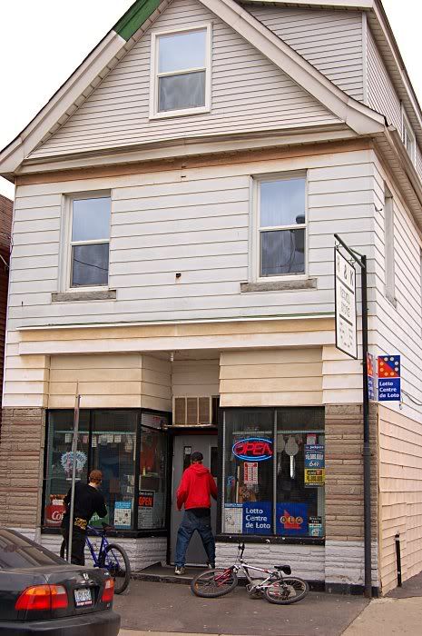
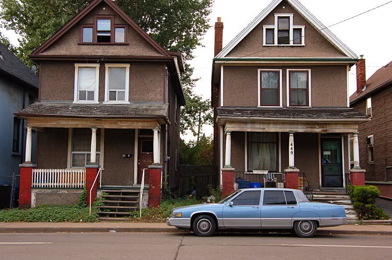
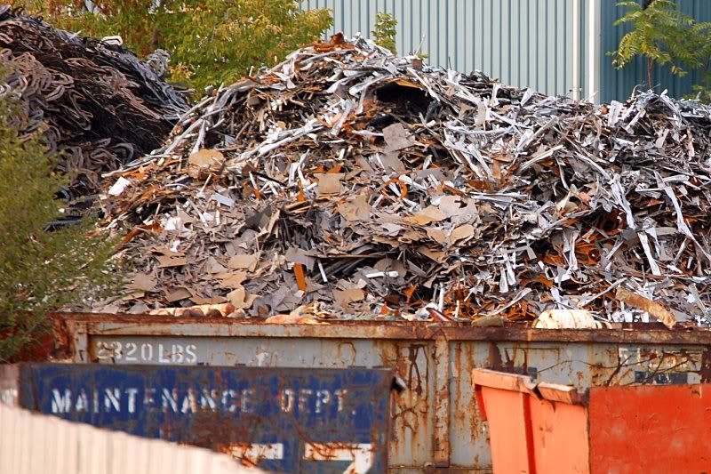
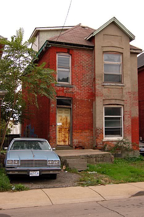
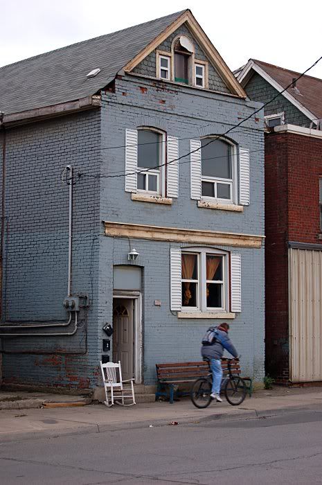
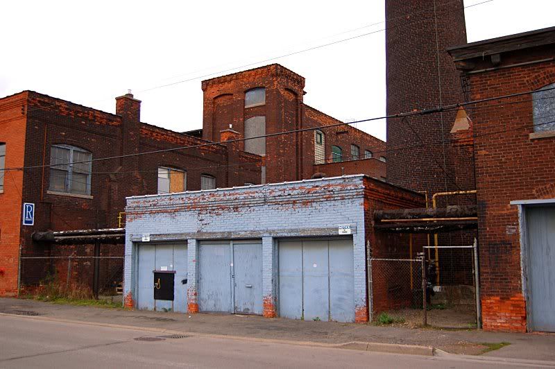
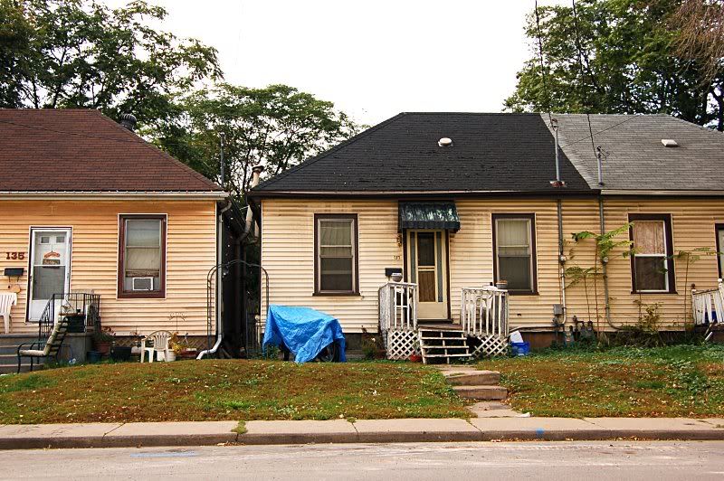
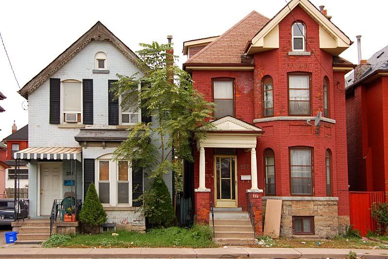
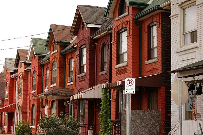
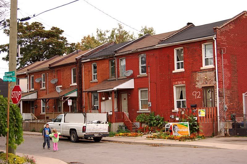
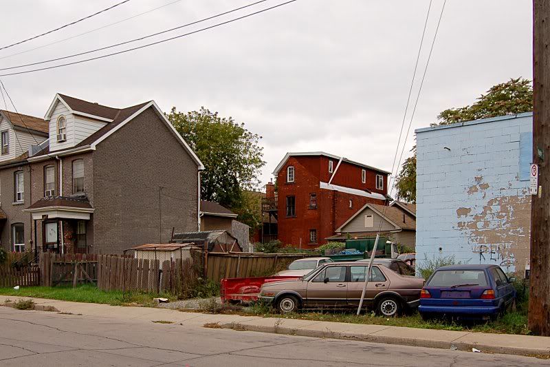
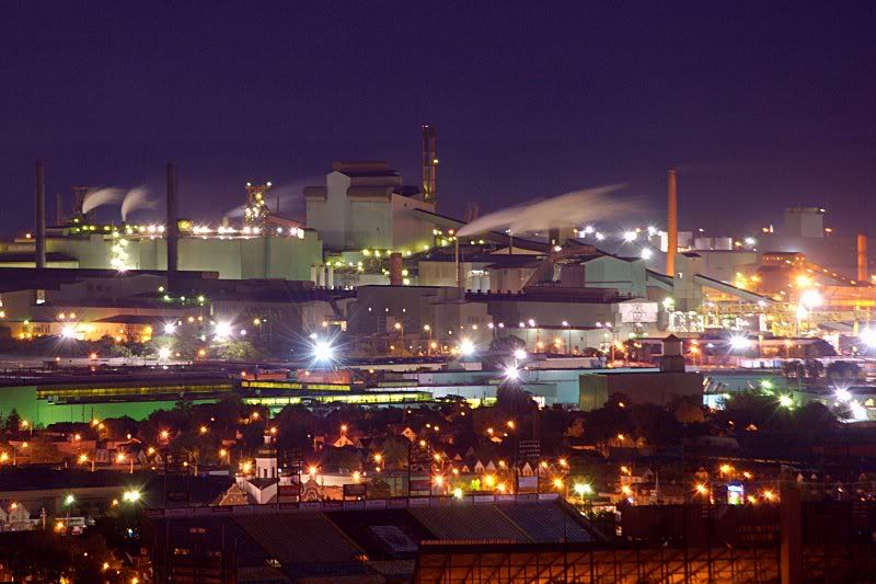
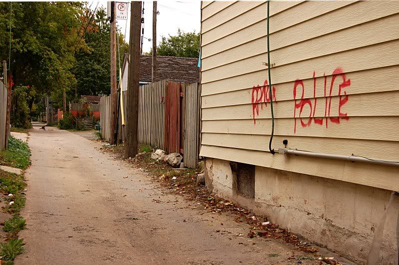
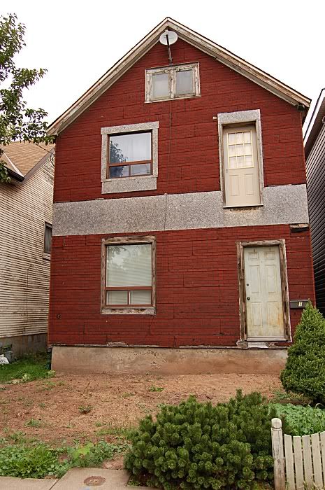
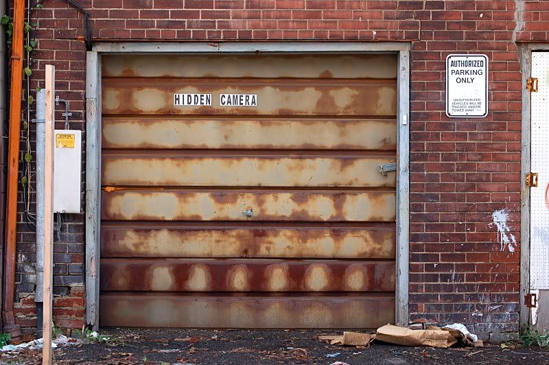
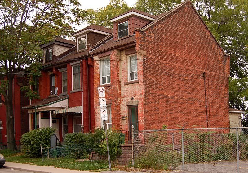
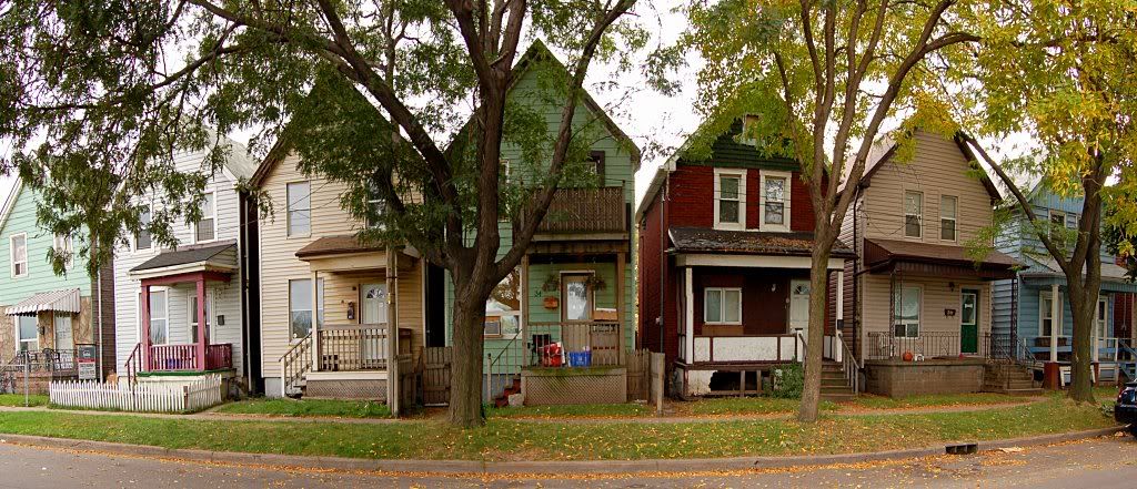
About half of these photos are from a neighbourhood called Keith which is in the extreme north end between Wellington and Sherman. Many of the houses here are wooden (like the ones in the last pic) rather than Hamilton's usual brown and red brick. I'm guessing they date to the 1910's. McAnulty and Keith are well inhabited but not desirable because of their proximity to heavy industry. There were two large schools serving these neighbourhoods, both of which are now closed.
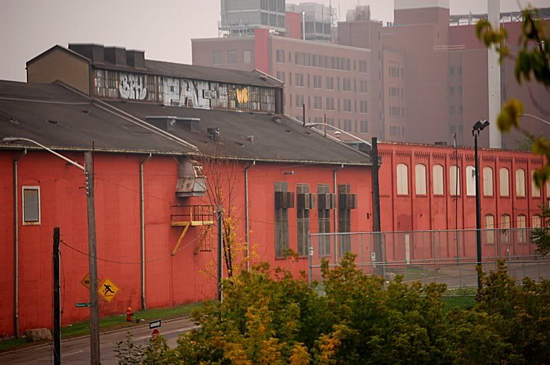
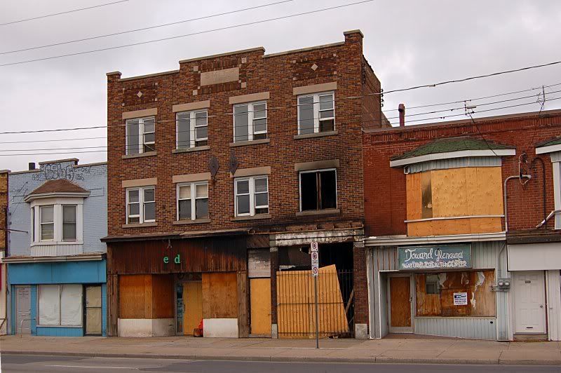
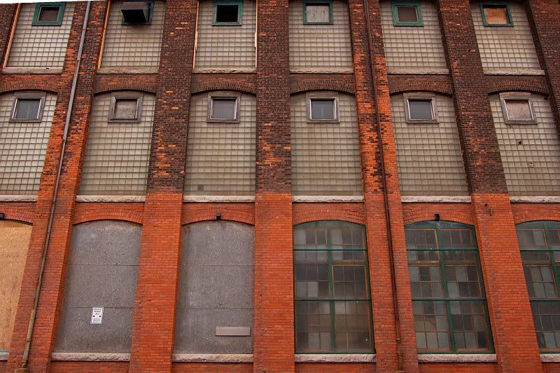
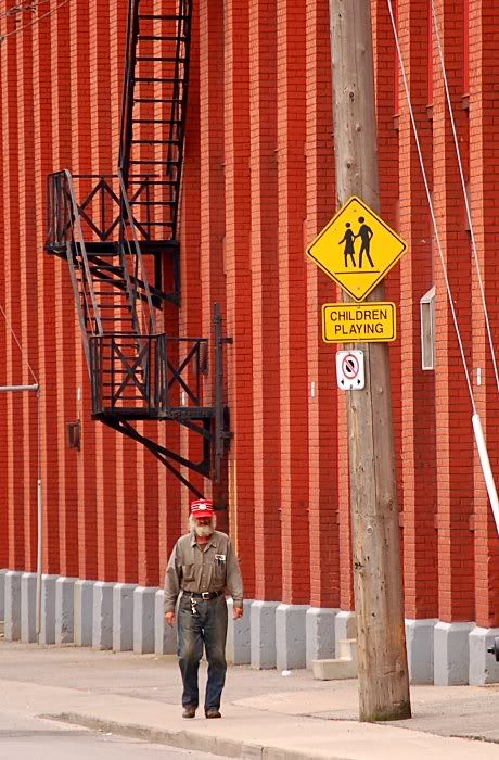
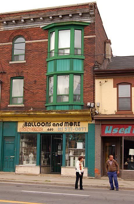
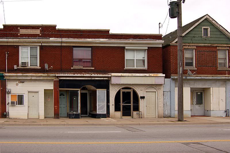
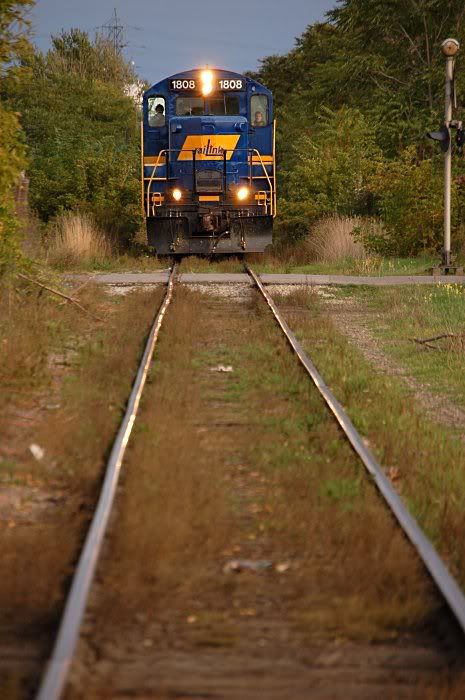
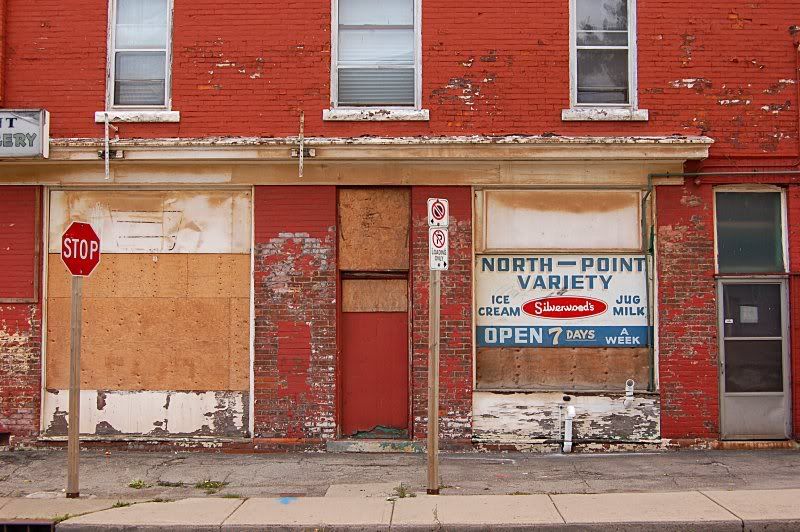
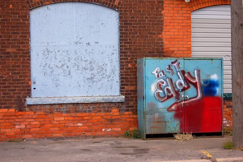
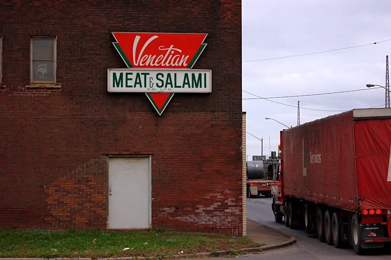
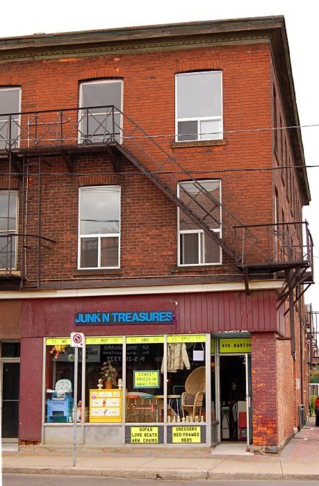
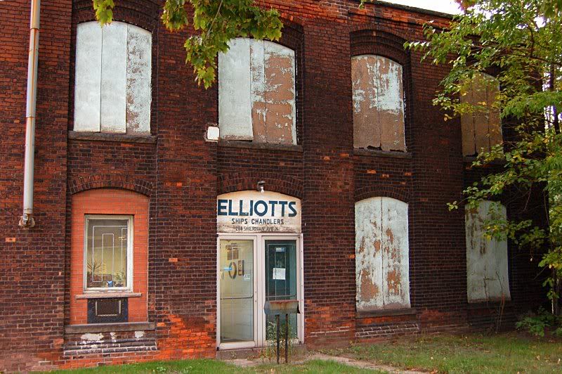
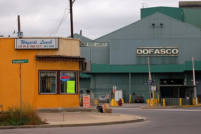
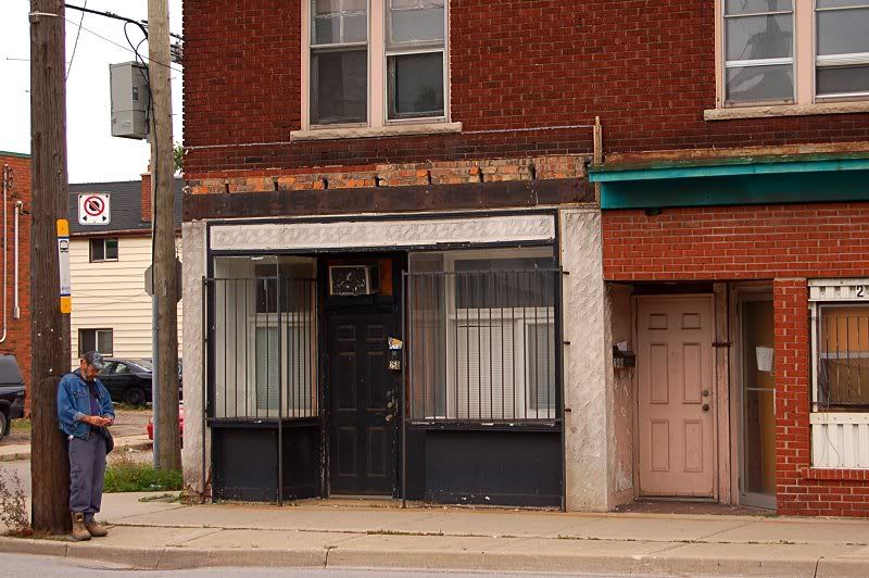
Another interesting street is Beach Rd., which winds through the eastern part of the North End the McAnulty neighbourhood. It looks like it was once a main road. It still has a bus route and some empty commercial buildings.
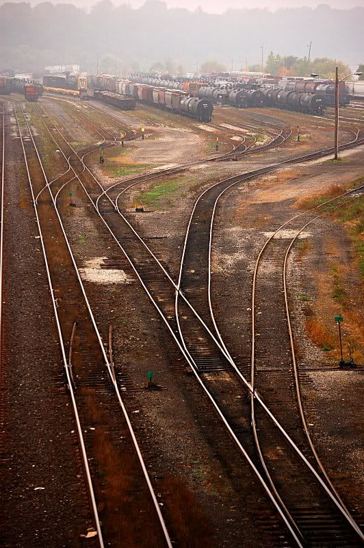
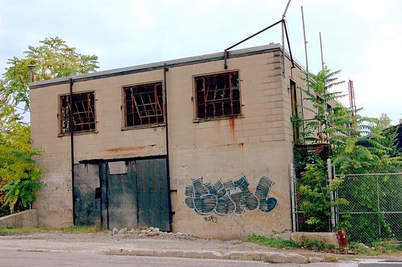
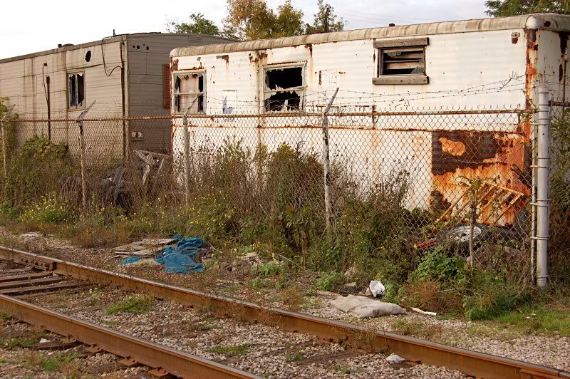
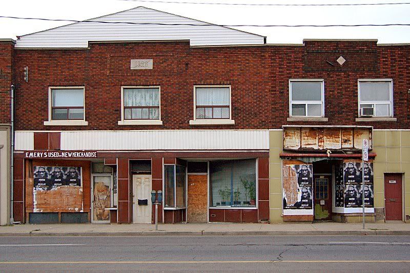
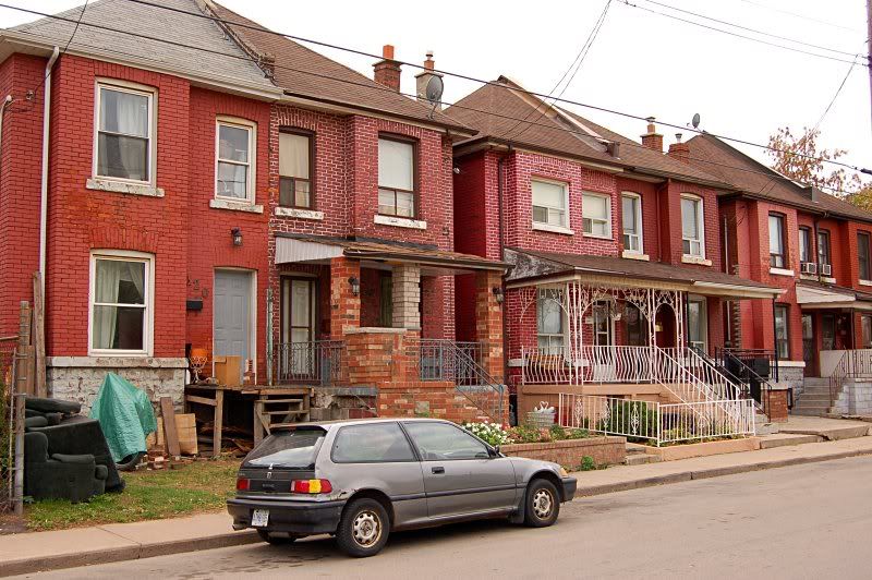
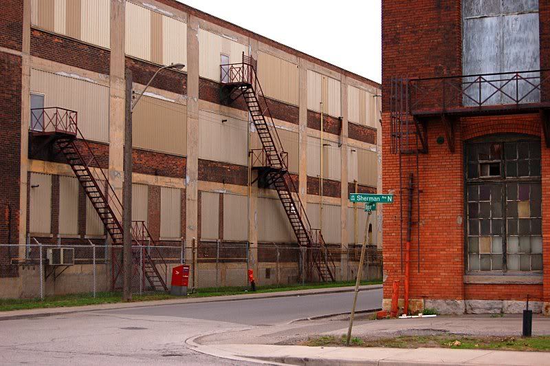
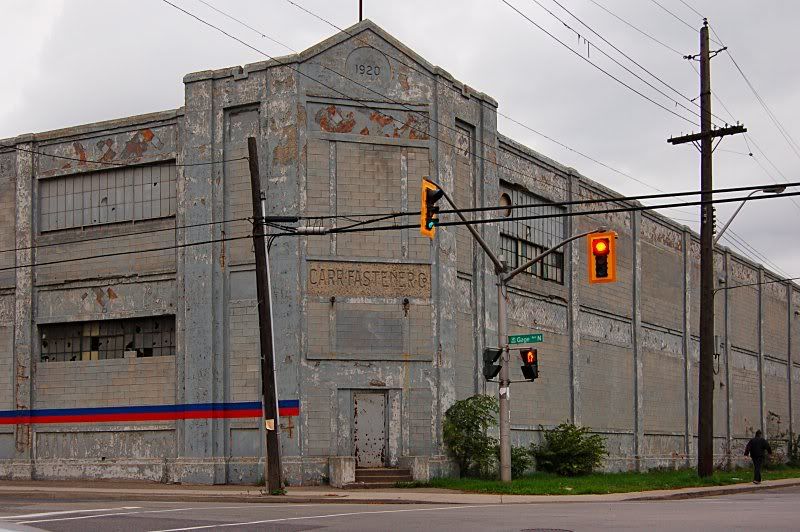
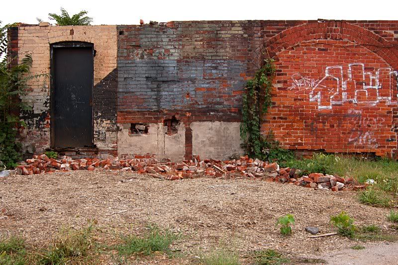
I noted on an old map from around the 1920's that there was a neighbourhood of several blocks at the intersection of Gage and Burlington. There are now about 20 houses left, most of it having been replaced by industries and Burlington St. which is now a double decker highway. There are even slight remnants of former streets, such as street signs.
__________________
RECENT PHOTOS:
TORONTO • SAN FRANCISCO • ROCHESTER, NY • HAMILTON • GODERICH, ON • WHEATLEY, ON • COBOURG, ON • LAS VEGAS • LOS ANGELES
Last edited by flar; Oct 17, 2007 at 6:42 PM.
|


 Prev
Prev


 Linear Mode
