Quote:
Originally Posted by Flyingwedge

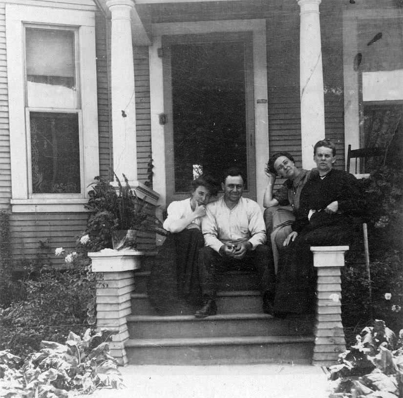
This undated photo looks SW at what would eventually become (from left to right) 245 (partial), 241, and
237-39 SBH. The porch over the front door of 241 isn't on the 1888 Sanborn, nor is the addition in the rear
of 237-39. However, both are on the 1894 Sanborn, so perhaps this photo is from around then. Can anyone
identify the structure in the distance to the right of 237-239 SBH? It almost looks like a trestle. Also, there
appears to be a street above the mystery structure, but I cannot identify that either:
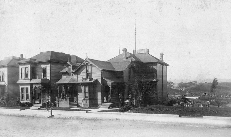
00060250 @ LA Public Library
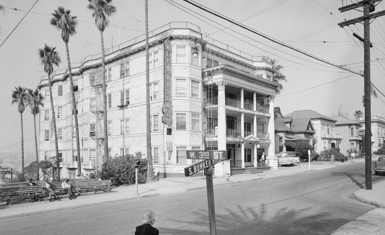
Looking north on Hope Street on February 1, 1959, we see in the center the large, beige south side of
255-59 South Bunker Hill, on the NW corner of 3rd Street. The white, multi-storied structure behind it
is the Earlcliff, 231 SBH:
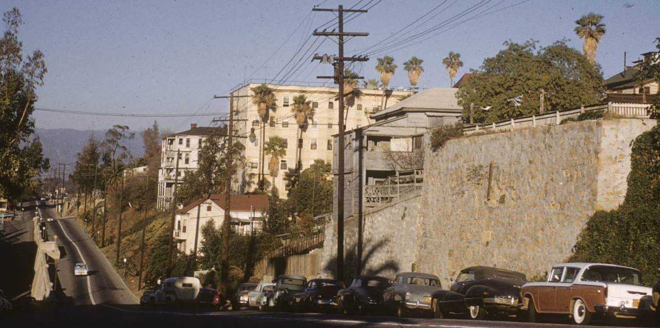
411340 @ Huntington Digital Library |
Ummmmm yeah. I'll join in and just say jeepers, of course I love this post. And the comments after it, so I'll add a couple pix myself. Referencing the two images I plucked out, above, 237-9, and Hope St., here are a couple from
Nadel at the Getty—
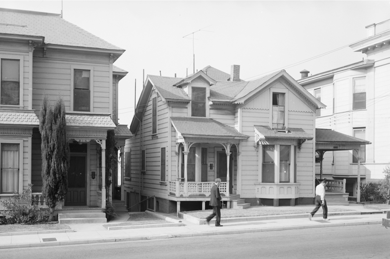
Getty/Nadel/CRA/HousingandStreetConditions1955October31/237SBHA
This one I thought germane to the topic of the sticking-out-stairway: you won't hit it while drunk, they put up a couple handy striped wooden rails!
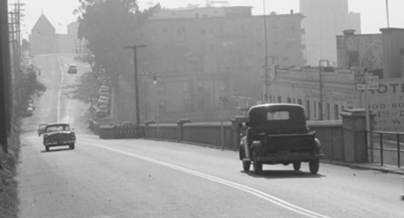
Getty/Nadel/CRA/HousingandStreetConditions1955October31/2ndandHope
(a detail of from
this)


 Prev
Prev


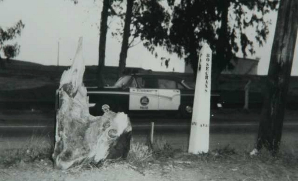
 That's quite an obscure piece of information. Good find BRR!


 Linear Mode
