Quote:
Originally Posted by fenwick16

Cool pictures DartmouthMark (I will drop the "Old' since it seems condescending  ).
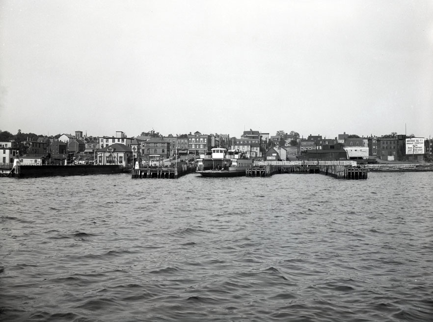
I wonder if the Dartmouth Ferry terminal in 1942 would have been the same one that I would have gone through in the 1970's? |
Lol... the "old" part of my name came from Old Dartmouth, not "old" me. I don't think of myself as being that old.

I believe that ferry terminal is the same. I remember it quite well going from quaint Dartmouth to the "big city" back when I was a kid.
Here's a link to a photo of it from the Chronicle Herald:
https://shop.thechronicleherald.ca/V...ry_p_3705.html
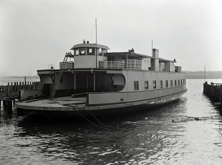
Here are a couple of pics from the Austenville Owl's club website (linked below):
The first is from the mid seventies, based on the cars in the photo. It appears to be the same building with the "tower" section removed:

The second pic is from, I would guess, the late 1970s (again based on the cars), now painted white.
 Source
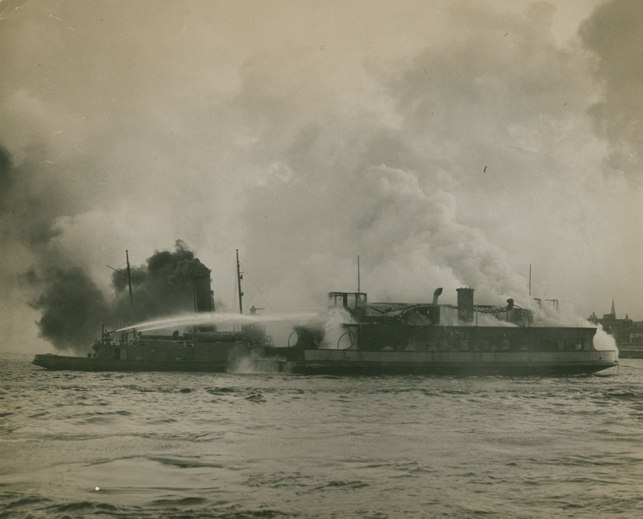
Also, scroll down to the bottom of
this page to see the sad fate that awaited the Halifax II and the Dartmouth II.


 Prev
Prev


 Linear Mode
