Quote:
Originally Posted by Acajack

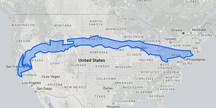
There are cultural differences between Acadiens and Québécois for sure, but given what we see in the other new countries being proposed, if something like this were to happen a decent chunk of New Brunswick would likely be part of Quebec. While not a perfect fit, that makes way more sense than many of these other assemblages.
|
Yeah, that's a very good test for such maps.
If Saint John NB goes to New England while Edmundston goes to Quebec, it passes the first test.
If both go to New England, the map creator immediately fails the basic test of knowing what he's talking about.

Usually, the creator goes to great lengths to create trans-border areas, especially Maritimes-New England, Cascadia, Great Plains-Prairies, and Michigan-Ontario-WNY, but for some reason respects the territorial integrity of Texas, while nearly always putting Southeastern Florida in some foreign Latinoamerican entity.
Contrary to them, I find it makes much more sense to give the Nueces Strip to Mexico than Southern Ontario to Michigan, if you really really really must alter the current borders (which, BTW, are where they are, and not somewhere else, for a reason).


 Prev
Prev


 Linear Mode
