Quote:
|
Originally Posted by riichkay
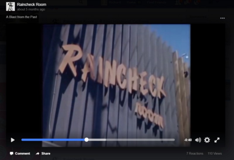
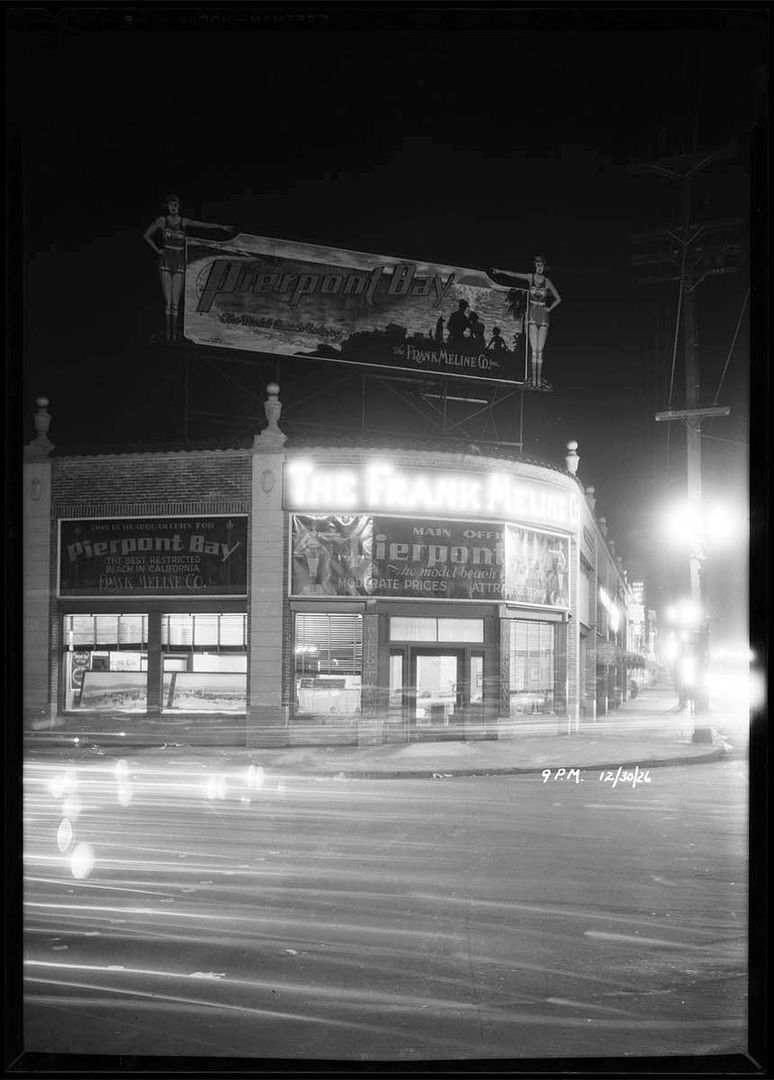
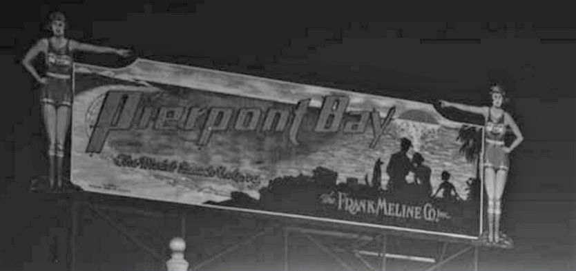
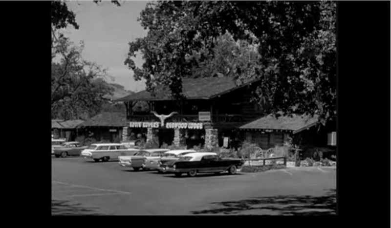
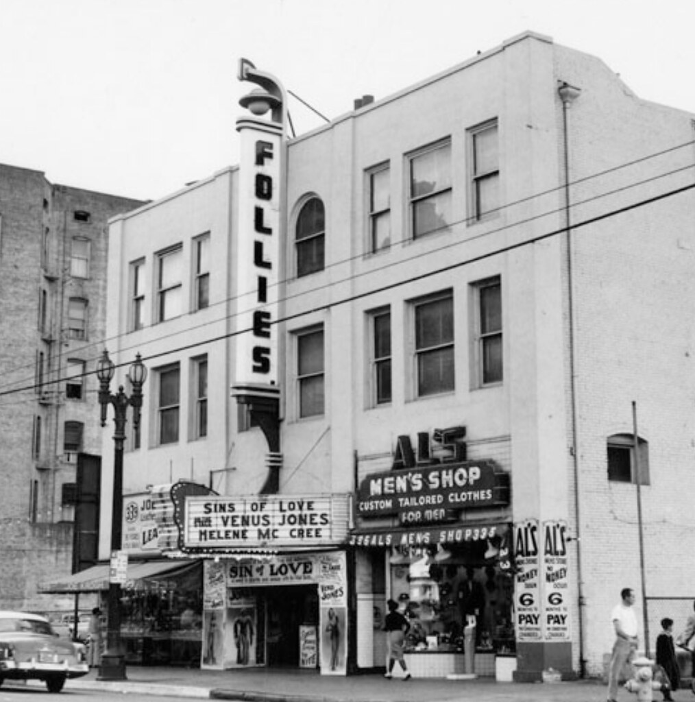
I looked for a photo of the Try Later bar, nothing turned up. The closest I got were some 1959 images after it had become the Raincheck Room, from the first successful Russ Meyer Nudie pic, "The Immoral Mr. Teas":
 |
______________________________________________________________________________________________________---

While re- watching
The Immoral Mr. Teas I became curious about a few additional locations.
This road.
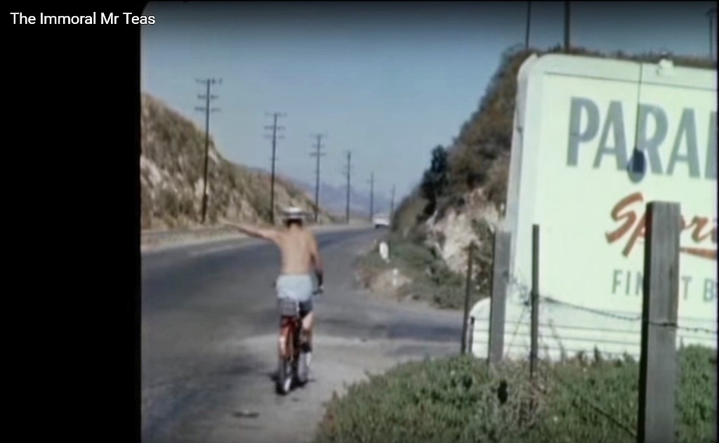
The billboard on the right is obviously the best clue------->
The top word is no doubt
Paradise....the word below,
Sports....& the word below that,
Finest(?)
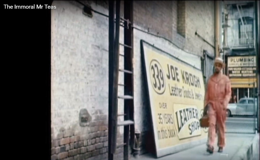
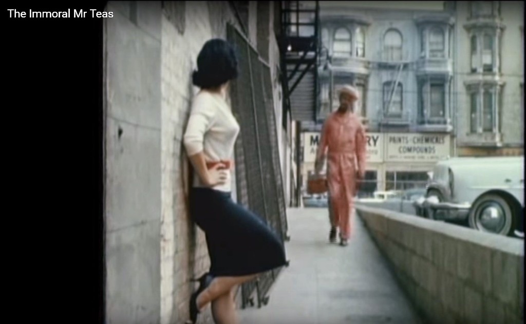
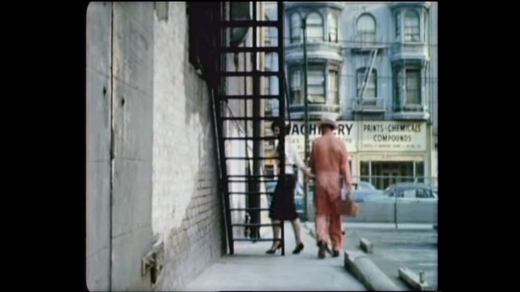
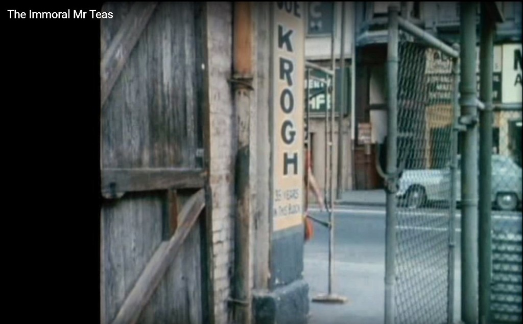
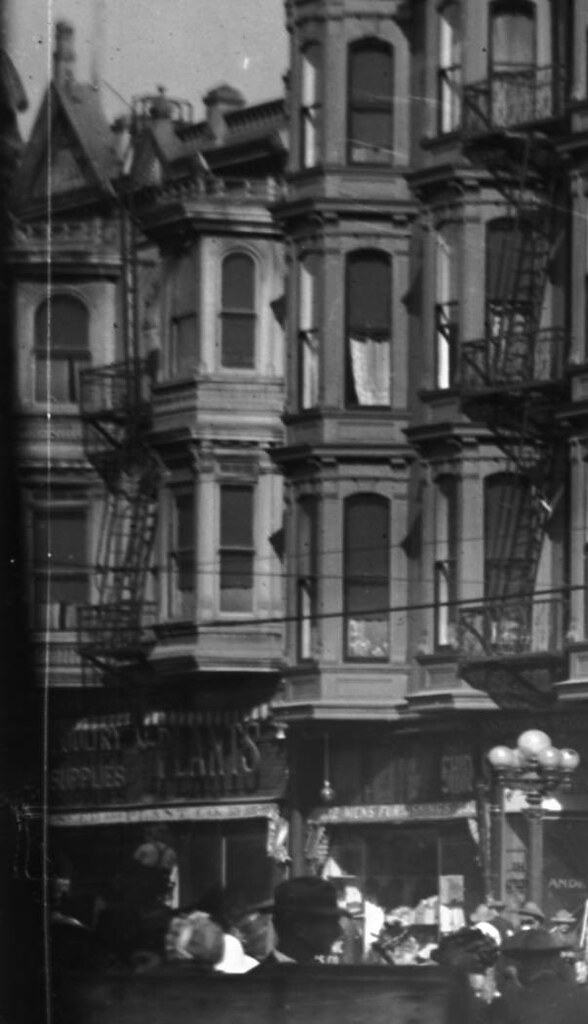
I'm also curious about this 'downtown' scene (four screen-shots below)
"
You want to see my etchings?"
The building across the street looks very familiar, but I can't place it at the moment.
I'm also curious about the building they go into (up the fire escape)
"KROGH, 36 Years in this block."
_____
Lastly, I've been trying to figure out which theater was used for this exterior scene. Is it one of the Pussycat Theaters?
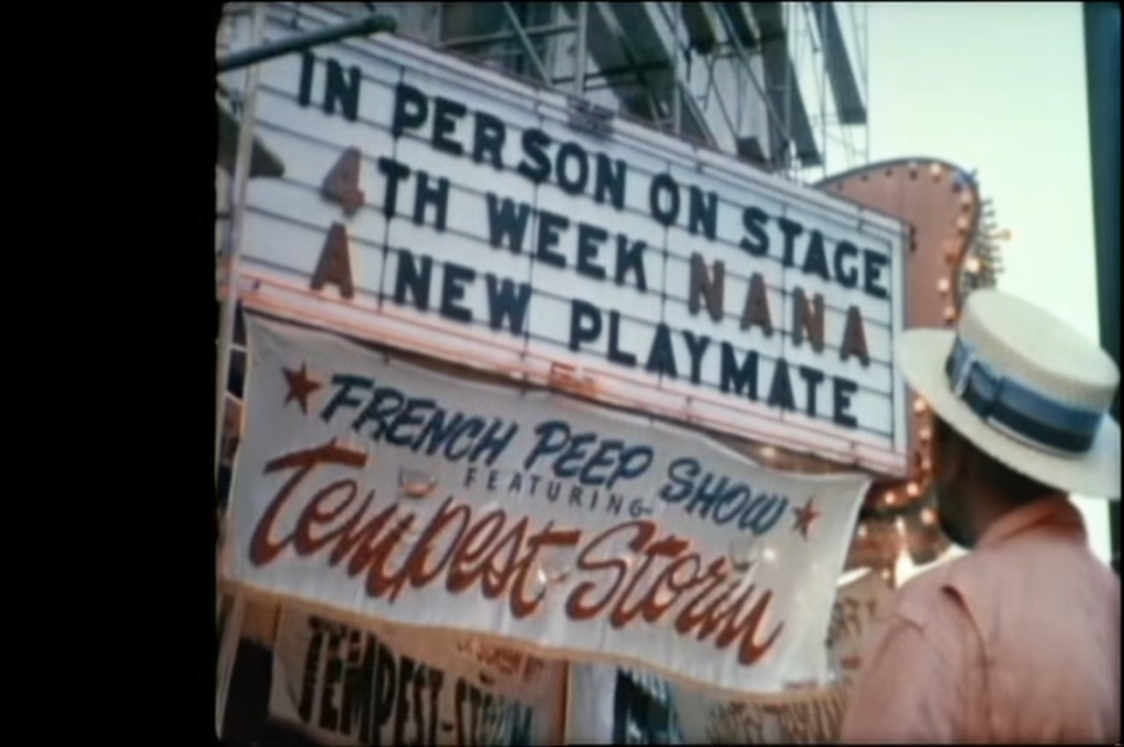
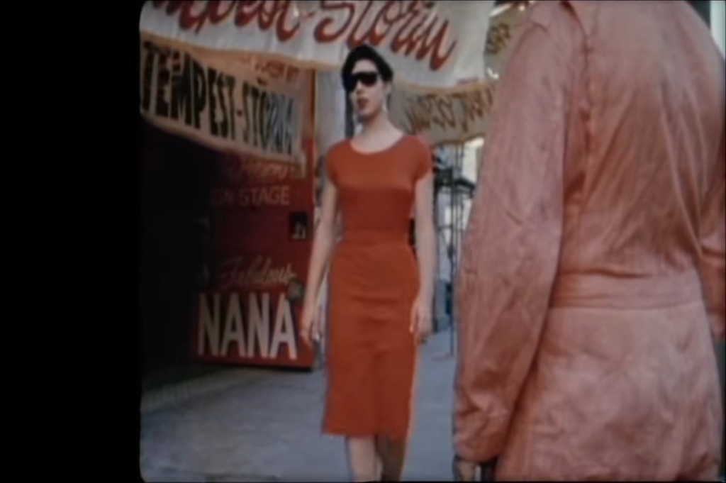
I know Tempest Storm, but who was 'Fabulous NANA'?


 Prev
Prev


 ]
]


 Linear Mode
