Repost because I am attention seeking
Quote:
Originally Posted by pj3000

Maybe so... but you're talking about a roughly 500 mile linear stretch vs. a roughly 200 mile linear stretch... to say nothing of the width of those swaths.
|
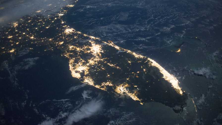
I was under the impression that a megalopolis was multiple connected MSA/CSA's where generally speaking there was minimal undeveloped space between.
That makes the Chicago-Milwaukee-area a Megalopolis, Southern Florida, Soon San-Antonio/Austin, Seattle-Vancouver-Tacoma (soon Portland), Ogden-salt lake-Provo etc. etc
It was less to do with population and more just to do with geography. As well China especially (but the other Asian countries) have some pretty wildly overexaggerated definitions of city districts. China wants to define the entire provinces as a city district.
Just look at the area around Hong Kong or Taiwan or Shanghai as shown on the maps above and huge swaths of those "Cities" are actually farmland.


 Prev
Prev


 since it isn’t quite as populated as the others. For that matter, the collection of cities in the Puget Sound isn’t quite 10 million, is it?


 Linear Mode
