etheral_reality:
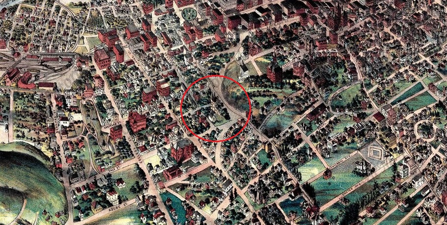
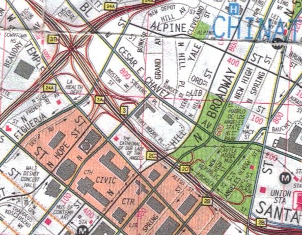
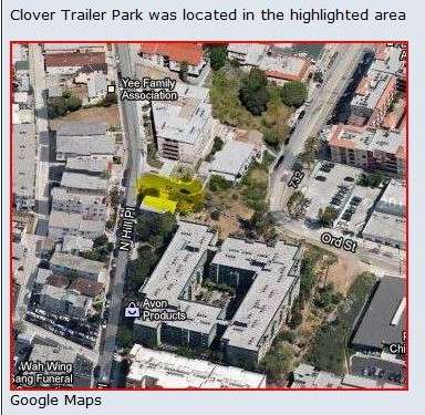
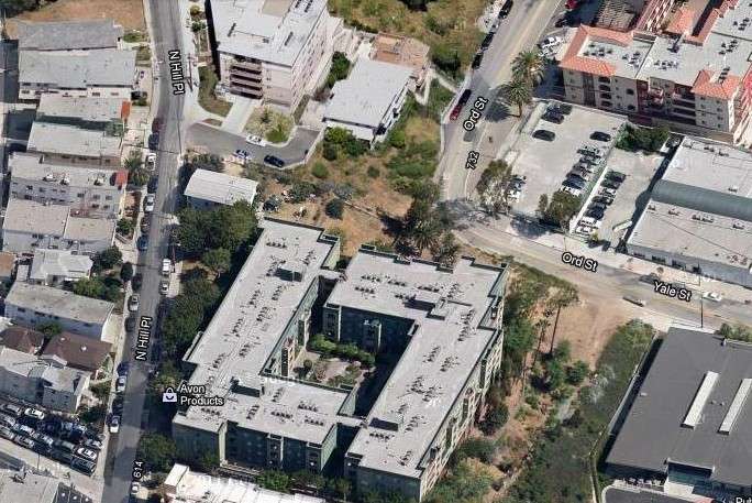
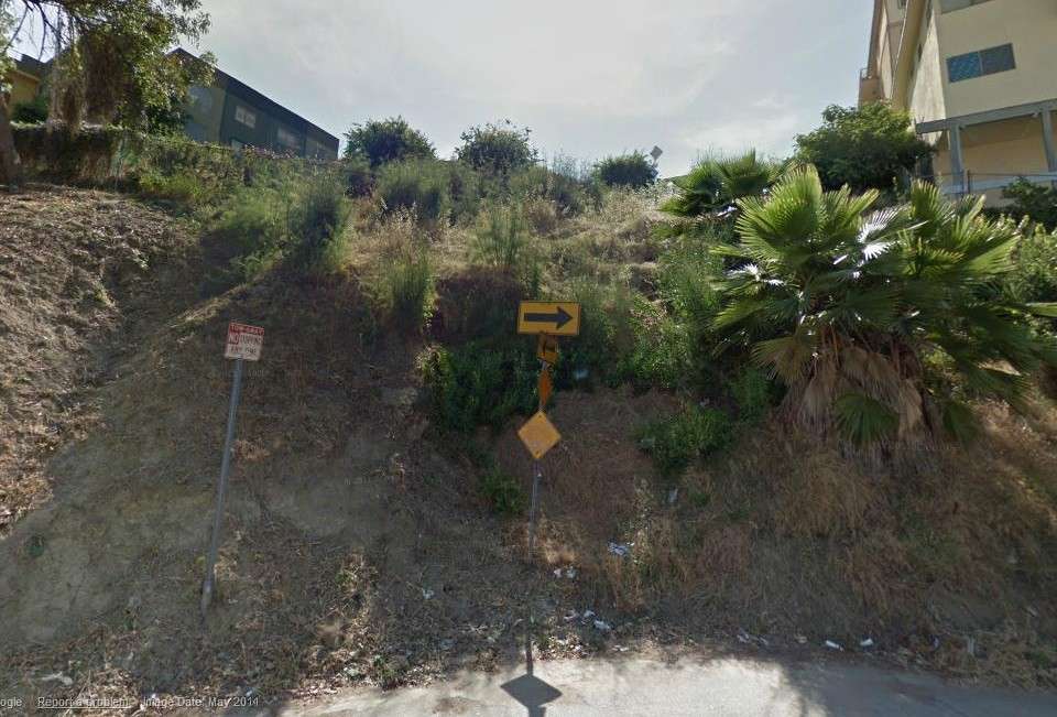
That area where Ord Street extends up the hill is exactly where the Clover Trailer Park was located in the 1951 movie.
Here are screen shots of North Hill Place from Cry Danger. Unfortunately, all the shots were taken from across the street,
so you cannot see the houses on that side.

Cry Danger, RKO Radio Pictures

Cry Danger, RKO Radio Pictures

Cry Danger, RKO Radio Pictures
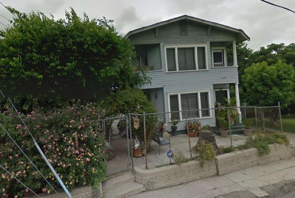
I think as ratty as that house across the street (the one with the gawkers) looked in 1951, it is probably long gone.
As long as I am started on Cry Danger, here are some more screen shots:
Dick Powell and Rhonda Fleming drive past a gas holder...just for our enjoyment:

Cry Danger, RKO Radio Pictures
Third Street, up on Bunker Hill:

Cry Danger, RKO Radio Pictures
The Los Amigos bar, directly across the street from the Angel's Flight station on Olive Street:

Cry Danger, RKO Radio Pictures
Across Third Street from the Los Amigos is the Angel's Flight Cafe:

Cry Danger, RKO Radio Pictures
The Angel's Flight Cafe was one of the main settings in the 1965 movie called Angel's Flight, staring Indus Arthur and
William Thourlby (the original Marlboro Man). This movie took place in the dying years of Bunker Hill and may have never made it to the theaters.
The Angel's Flight Cafe (sorry about the crappy image):

Angel's Flight (1965), produced by John Bushelman


 Prev
Prev


 I deserve it


 Linear Mode
