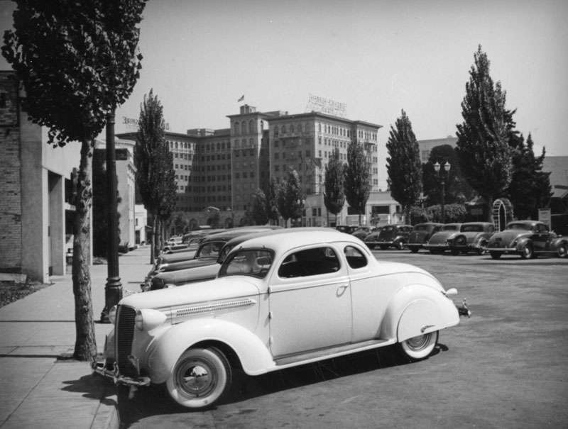
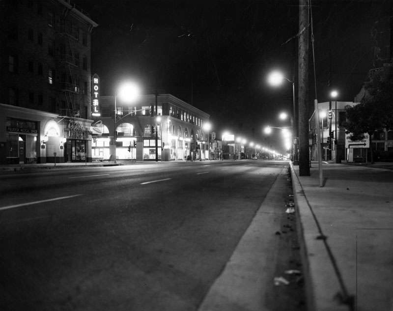
In the first days of exploring this thread a photo of the Hotel Nadeau caught my eye. I can't find that page now (despite much searching!), but would like to reply to it and add some comments.
In my explorations of California history and ghost towns, the name Nadeau comes up over and over. Remi Nadeau was a French-Canadian entrepreneur to came to California in 1861. He built up a very successful freight operation that catered to the burgeoning silver and gold mines in eastern California. This was quite brilliant - the mines went boom and bust, but Nadeau's stage company always stayed busy. In most cases, gold. silver, lead, and other metals were brought from the mines to San Pedro by Nadeau, and then shipped to San Francisco. (Back then there was no efficient route over the Sierras.)
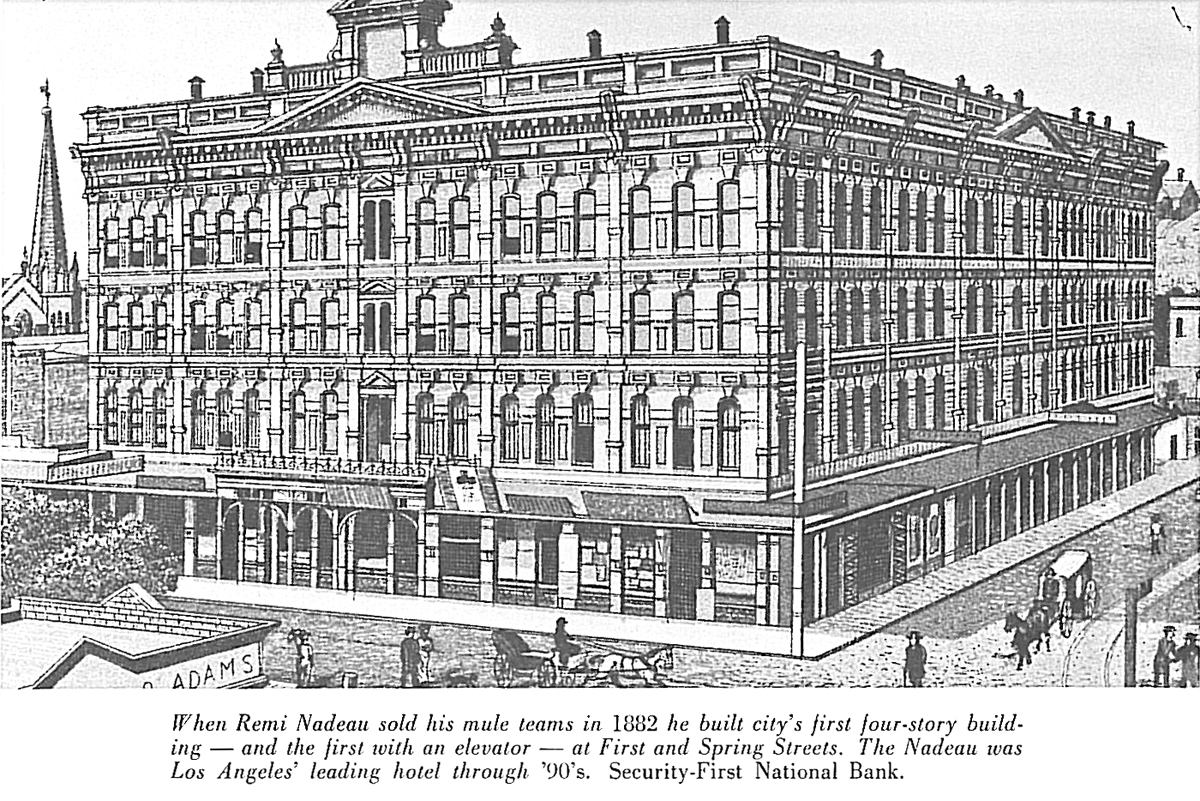
He also built a large hotel in L.A., which had the city's first elevator. It was at 1st and Spring, where the L.A. Times building is now.
The great grandson of Mr. Nadeau is an accomplished historian who has published many excellent books about the early days of California and the mining camps.
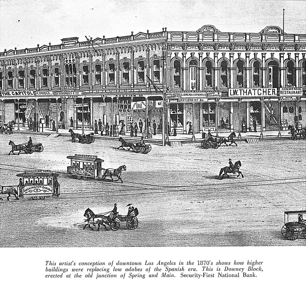
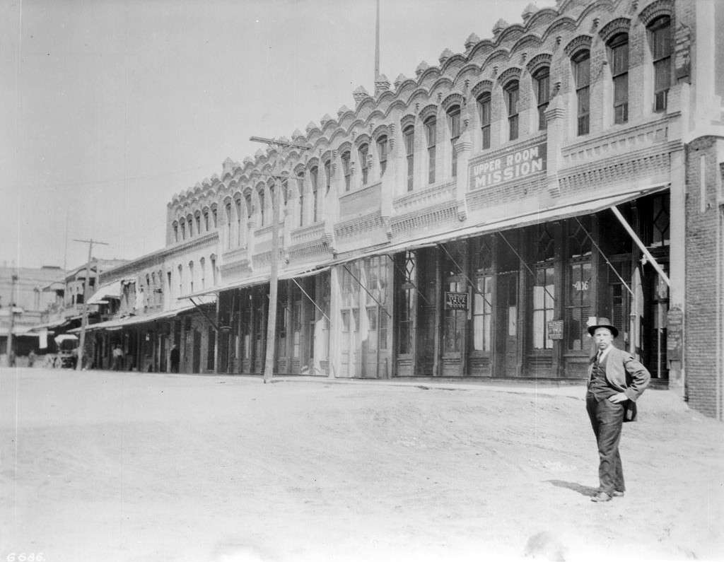
There are a lot of great images in the book - I'll start with some shots of downtown and old hotels.
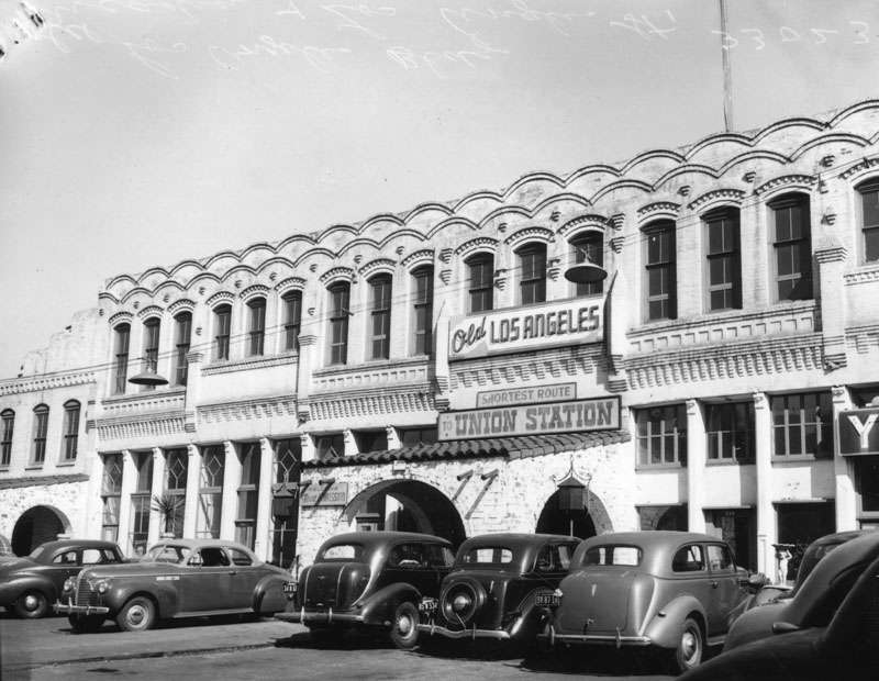
The first two are from USC and LAPL, the others are from Remi Nadeau's
City-Makers, The Story Of Southern California's First Boom 1868-1876 (pub. 1965). The post card seems to be a "colorized" version of the photo above it.


Here are an line drawing of Downey Block, the Lafayette Hotel bus

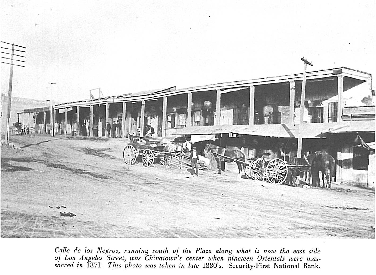
and Chinatown:
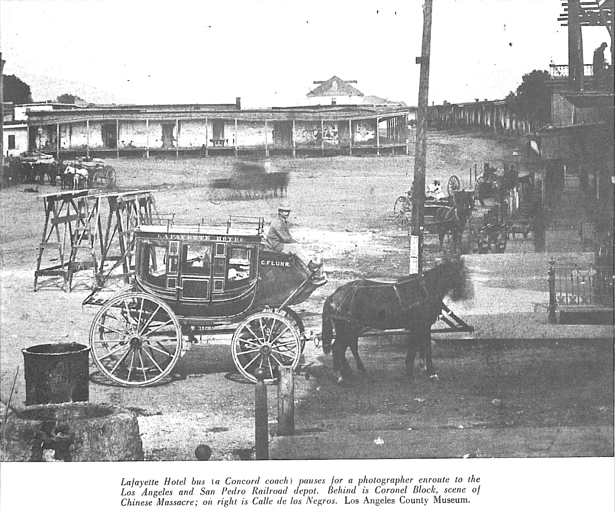
(I wonder what hill that is in the background?)


 Prev
Prev


 Google Street View


 Linear Mode
