Quote:
Originally Posted by HossC

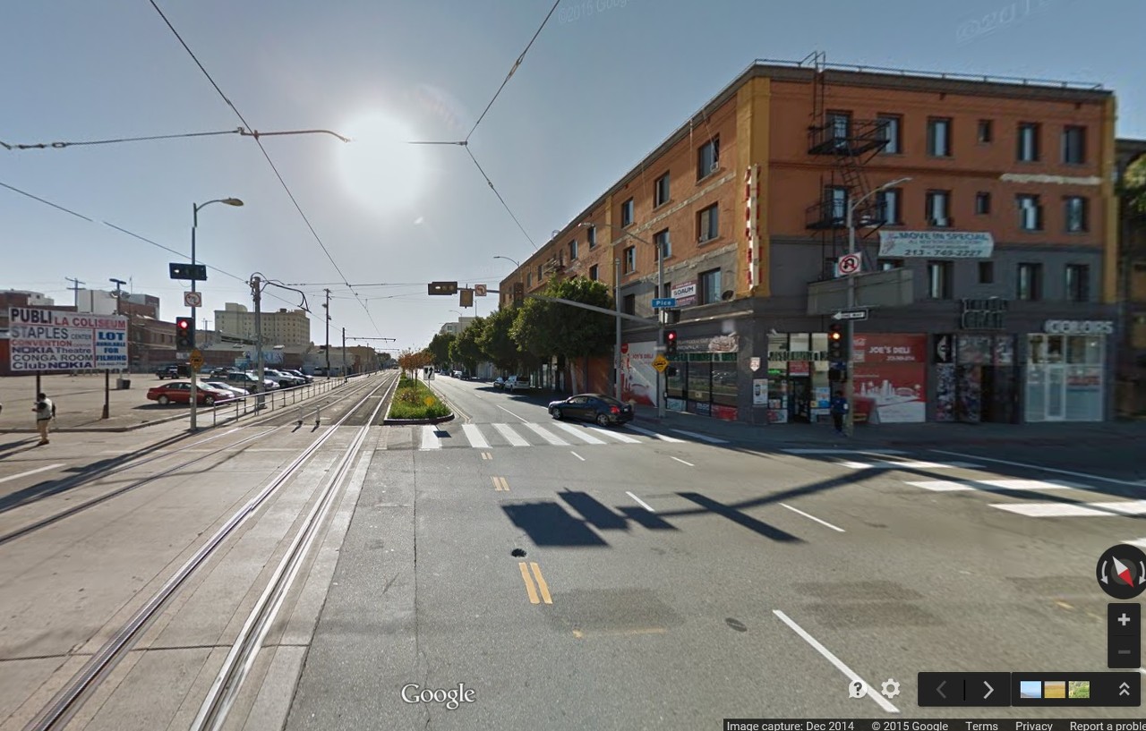
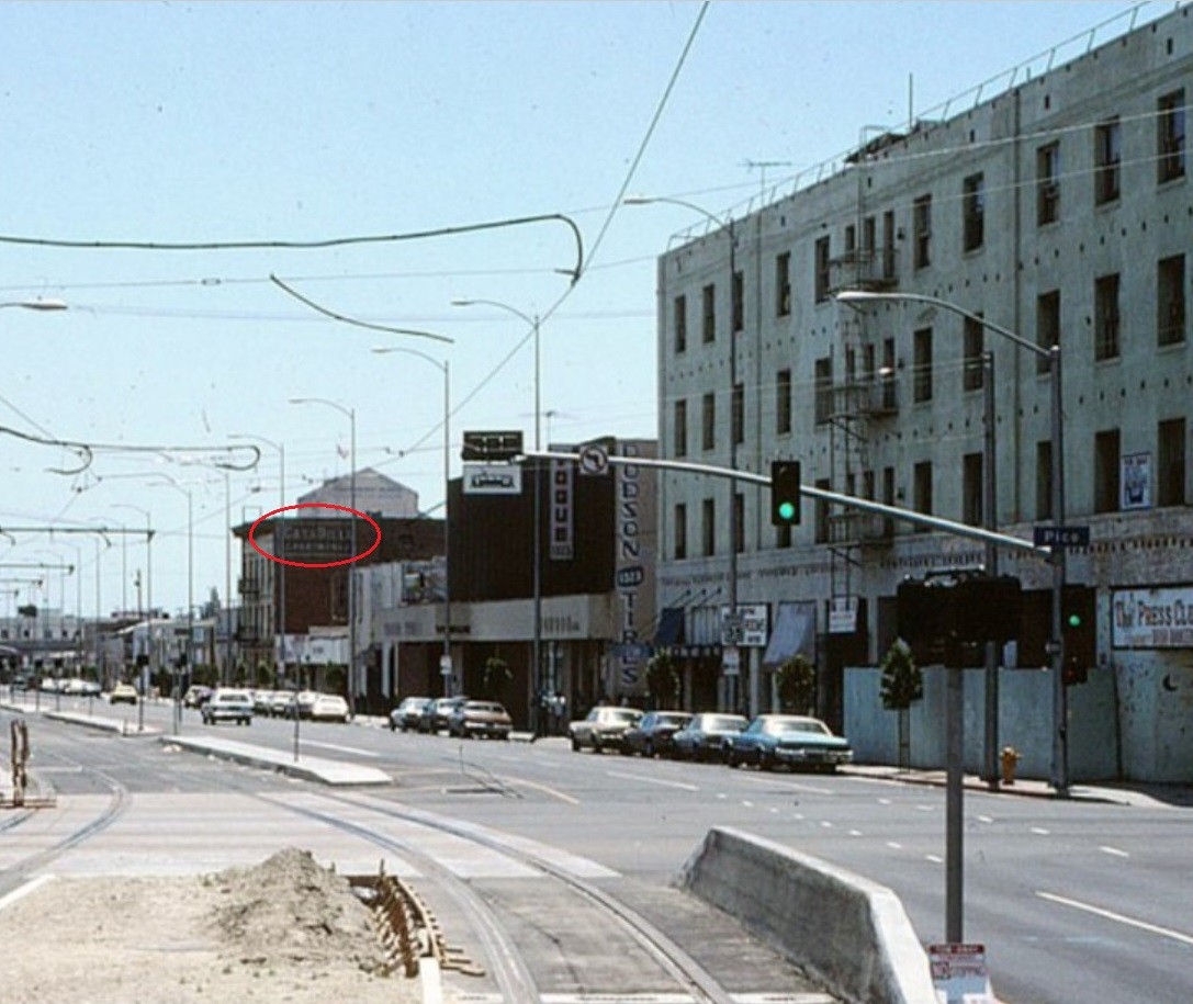
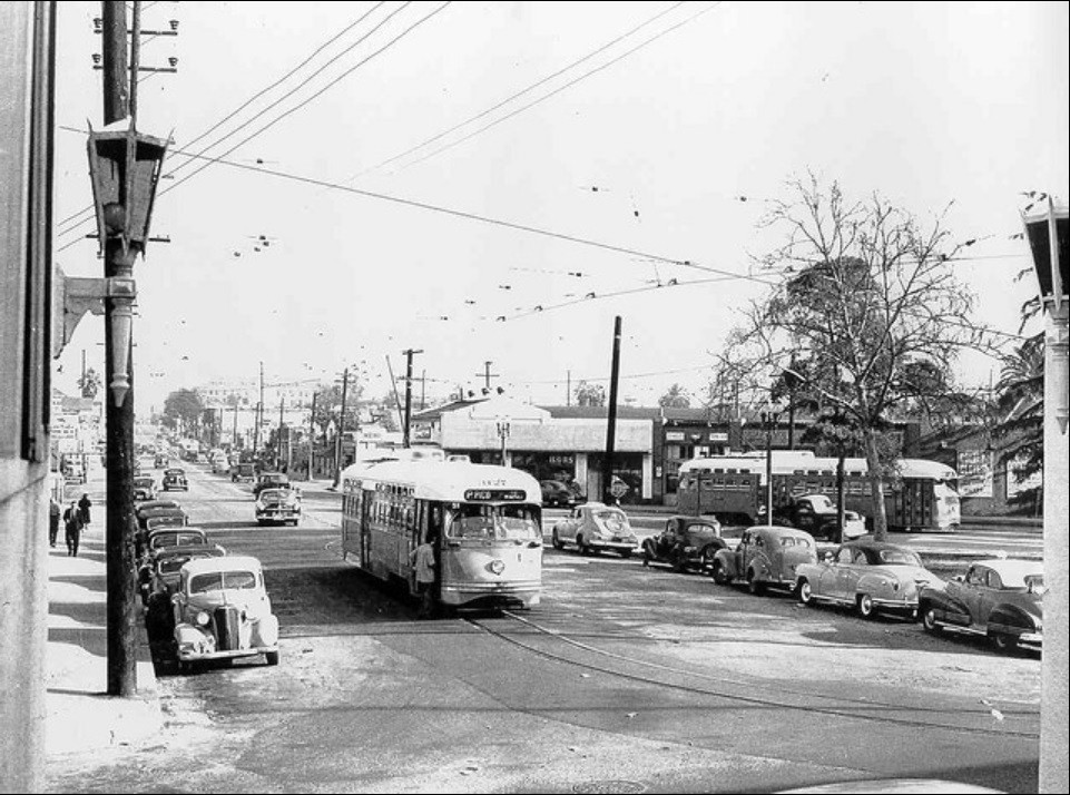
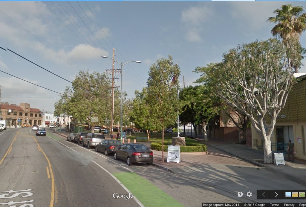
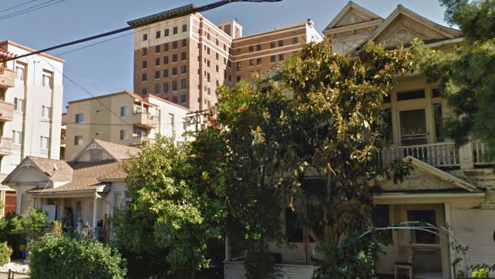
I'm not sure how I missed this location - I must have started my search along E 1st Street too far east! The "modern view" above doesn't line up because it's looking in the wrong direction. The original was taken from Chicago Street, although the additional trees now prevent any meaningful comparison.
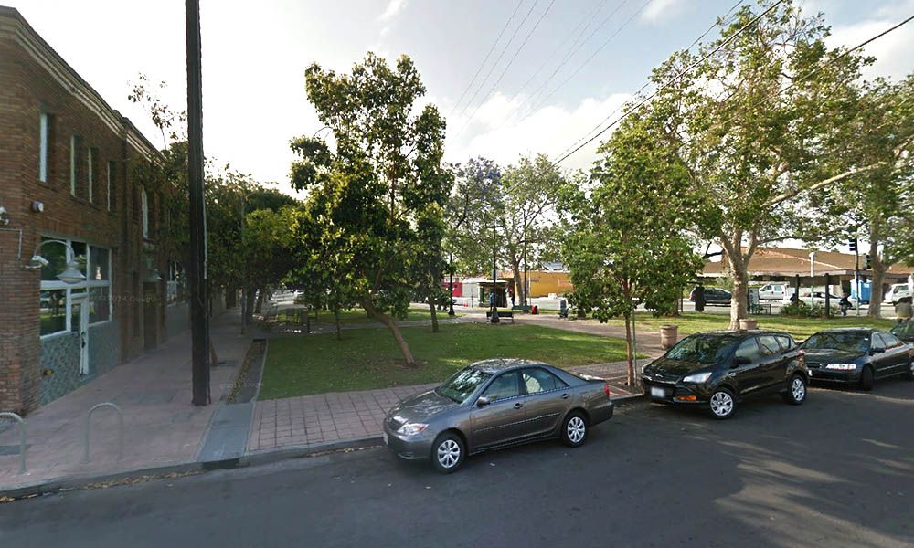
GSV
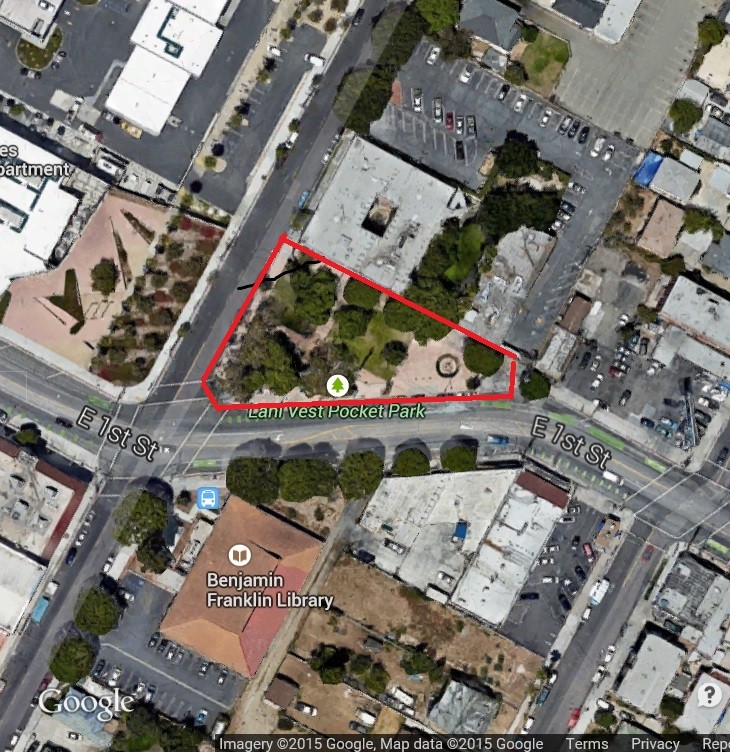
Here's a 1952 aerial view which shows the park when it was much smaller, with room for streetcars to stop on the north side.
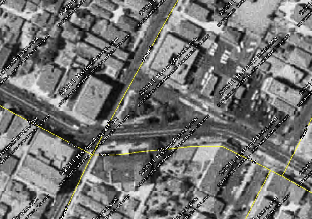
Historic Aerials
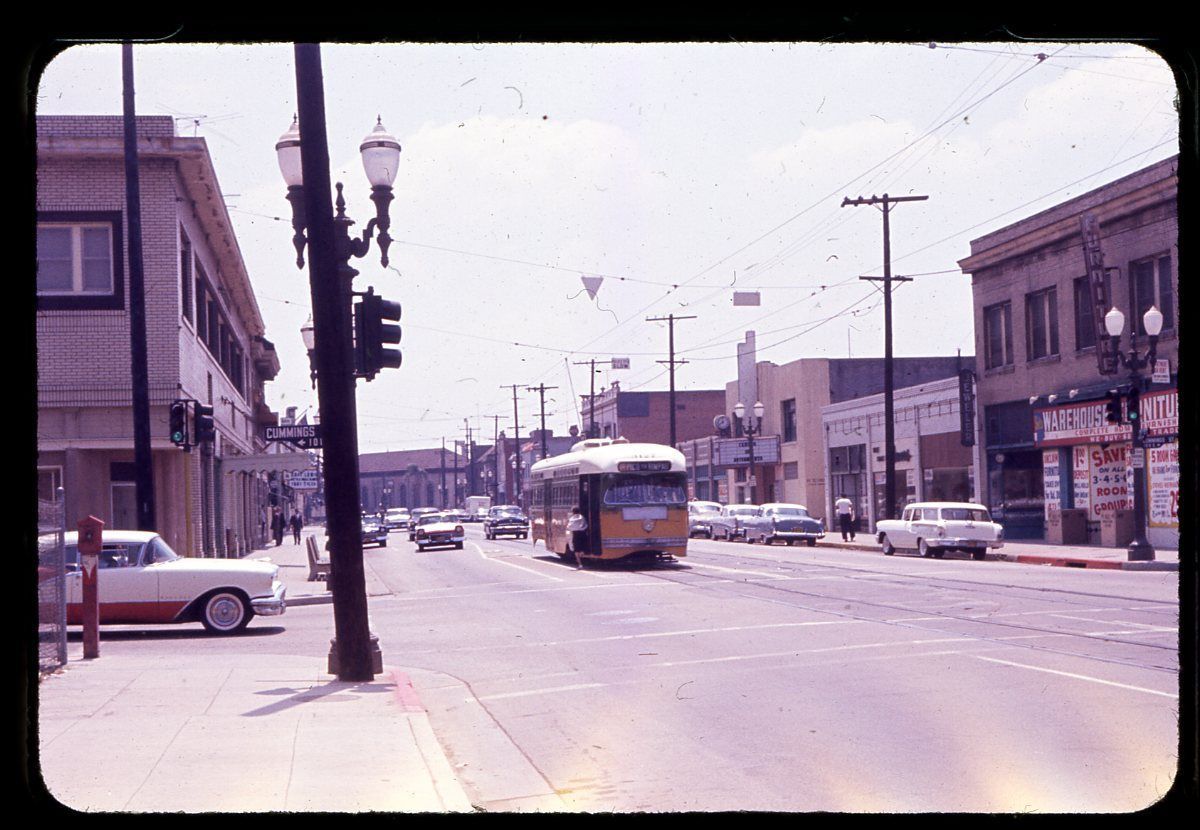
Incidentally, the large building below the park on the aerial above (it's just out-of-shot to the right of the original image) is the previous incarnation of the Benjamin Franklin Branch of the Los Angeles City Library. It's "that impressive building down at the end of the street" in this slide posted by e_r back in January. |
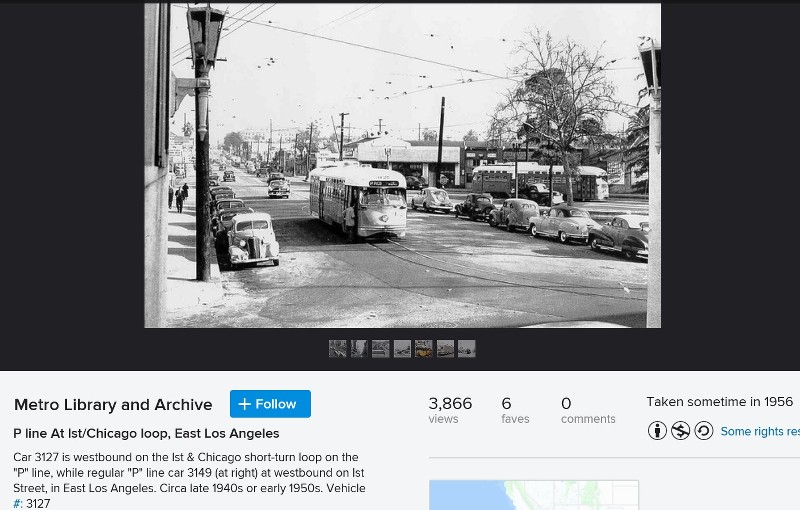
In short, there likely was never a loop in the location at E. 1st and Chicago. This is a certainty in the era of the P Pico streetcar. Perhaps the poster is remembering the end-of the-line loop for the P Pico line at N. Rowan and E. Dozier, a little farther east. That's been shown back in the day in
noirish posts, I think, and is a bus loop today.
In fact, if the two PCC streetcars shown are supposedly on the same loop, they'd run into each other. This is not considered good practice.
What I did find was an earlier record of transportation around E. 1st and Chicago.
Mira:
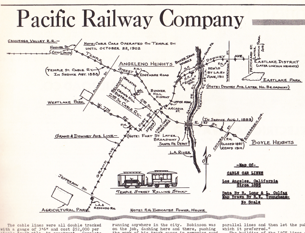
"Los Angeles Railway, Interurbans No. 11", Ira Swett, ed.
From 1889 to 1896, the Pacific Railway Co. ran cable cars(!) down E. 1st, past this very site. Again, it wasn't the end of the line at Chicago St., so no turntable or loop was likely here. What there was at the intersection where the Benjamin Franklin library is now was the powerhouse for the cable line. Note the remark on the map that it was closed 1987, remodeled 1910. I'm thinking it was the conversion for the library, which was at a different location earlier. The grand building shown earlier in
e-r's slide certainly has the power station look.


 Prev
Prev


 GSV
GSV


 Linear Mode
