Quote:
Originally Posted by OhioGuy

I used Central Sierra based on categorization of the Sierra snowpack zones. The map isn't very detailed, but the central zone does extend north of the latitude of Lake Placid which appears to include Grass Valley and Nevada City. https://cdec.water.ca.gov/snowapp/sweq.action |
Going on the hydrology map you linked, I can see why you think as you do--that map classifies the southern Cascade and Trinity ranges as "North Sierra." Which is weird. The three are separate mountain ranges, and the boundary between the Cascades and the Sierra is, depending on the source, somewhere between 30 and 84 miles from Nevada City.
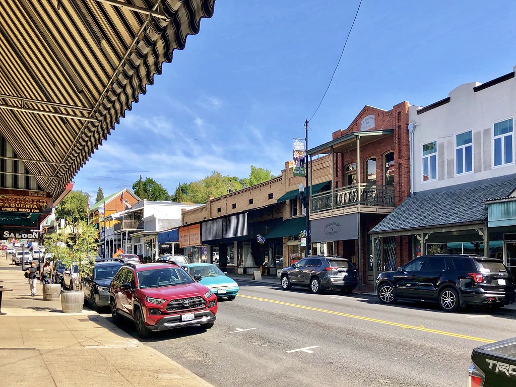
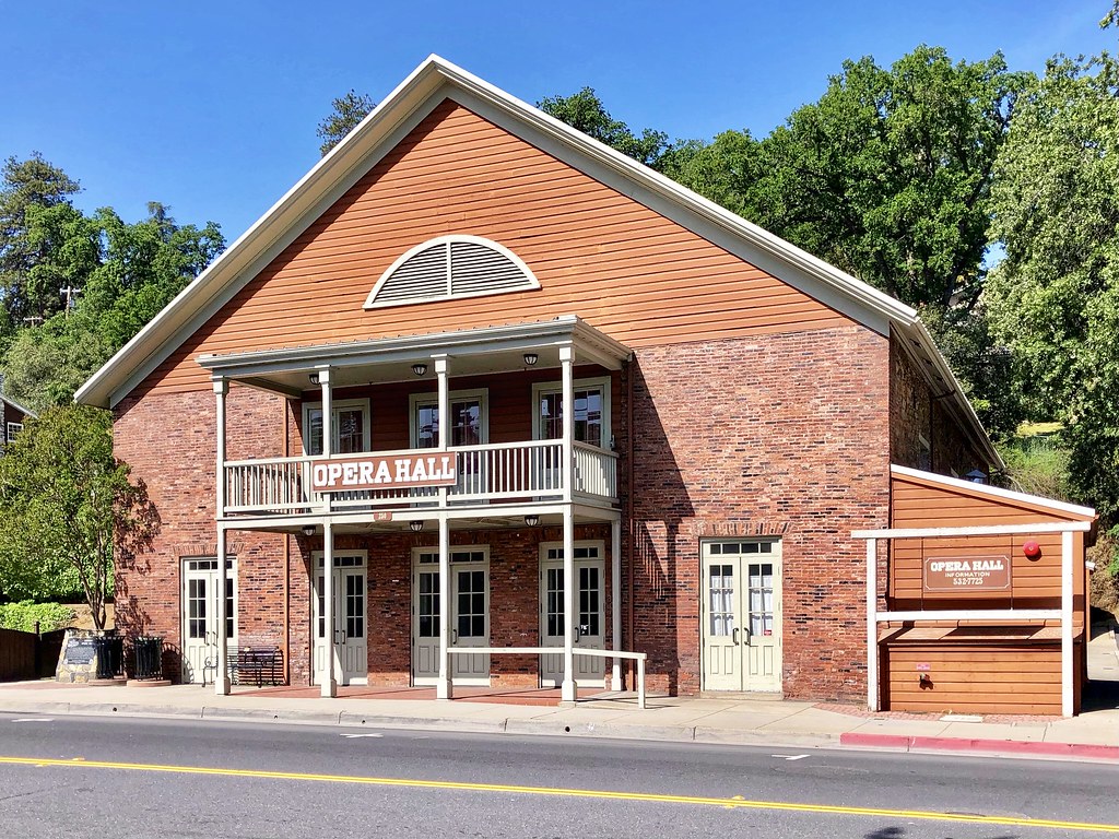
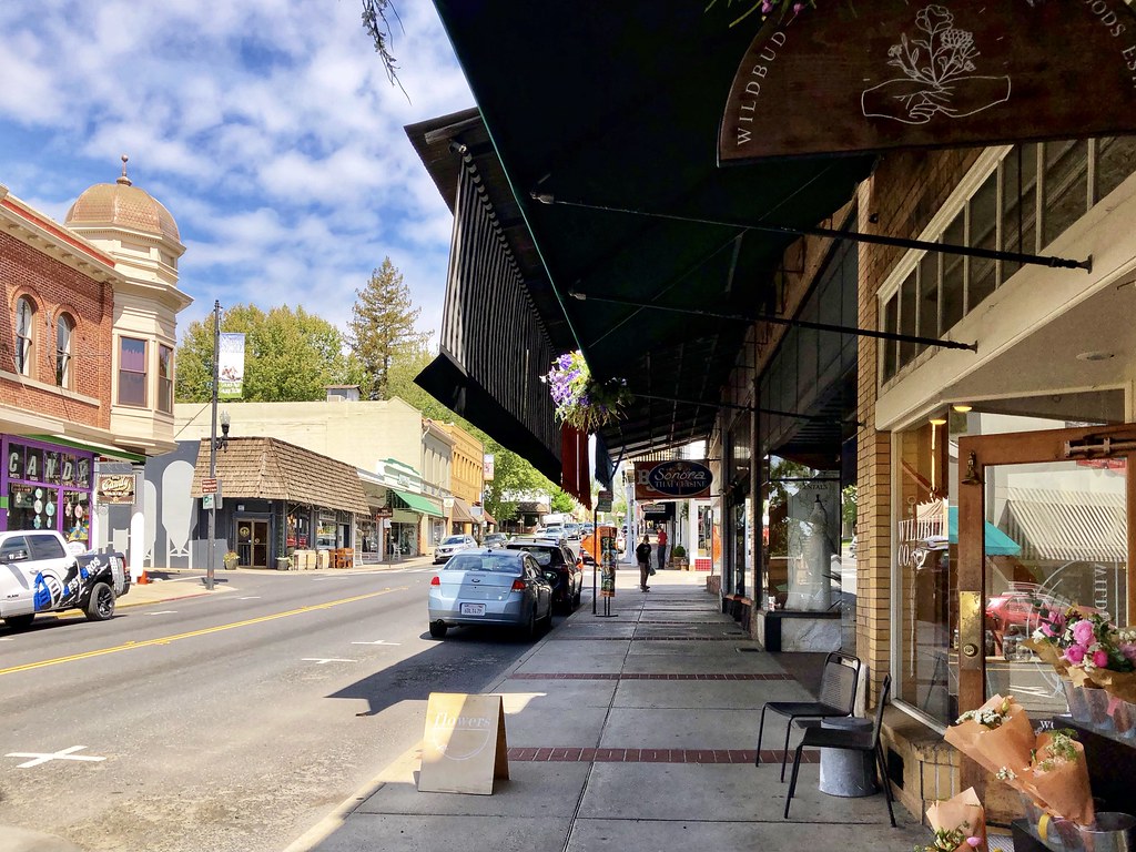
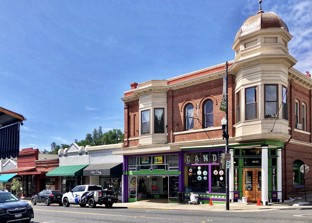
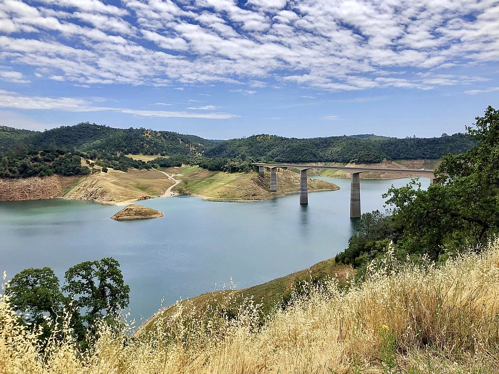
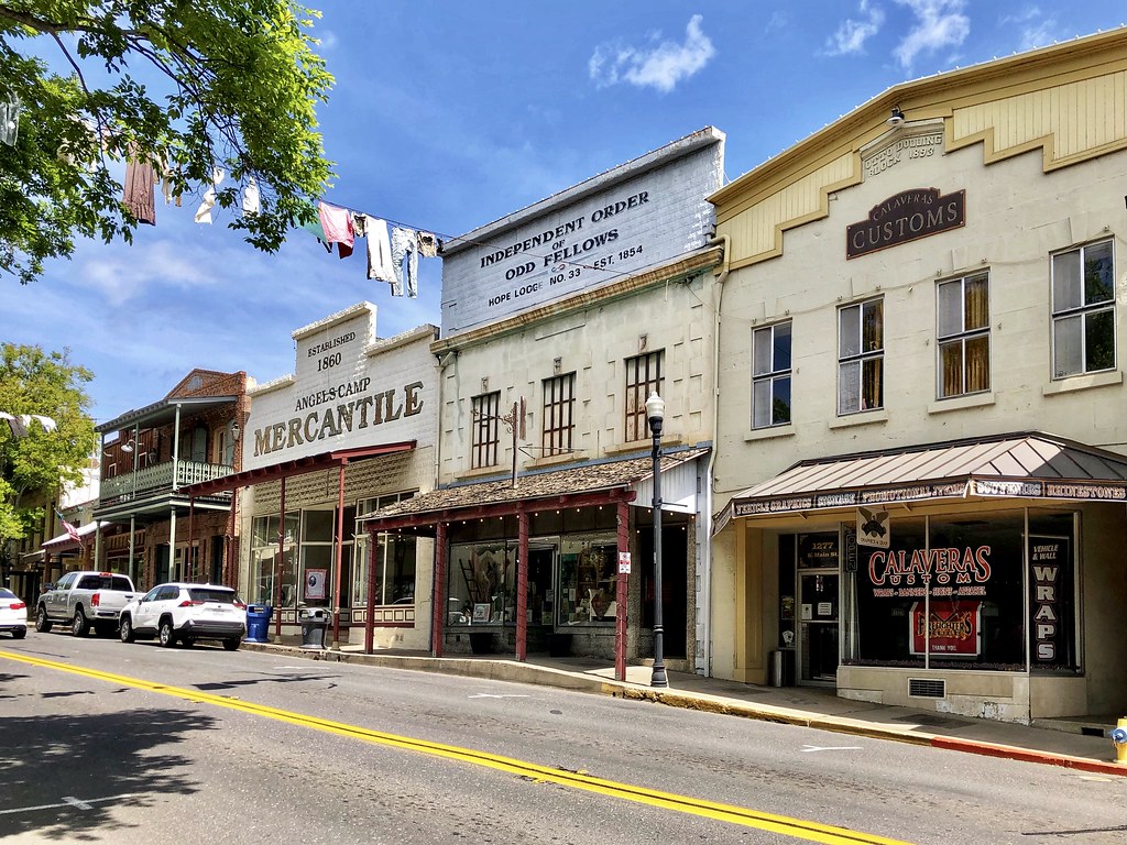
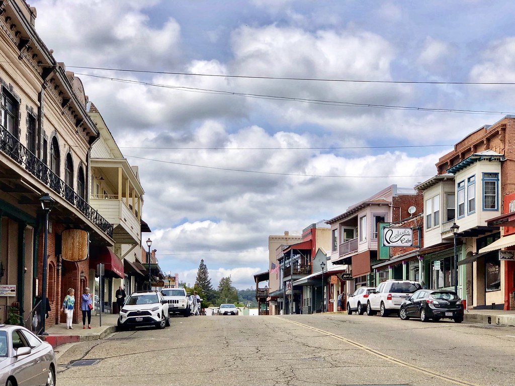
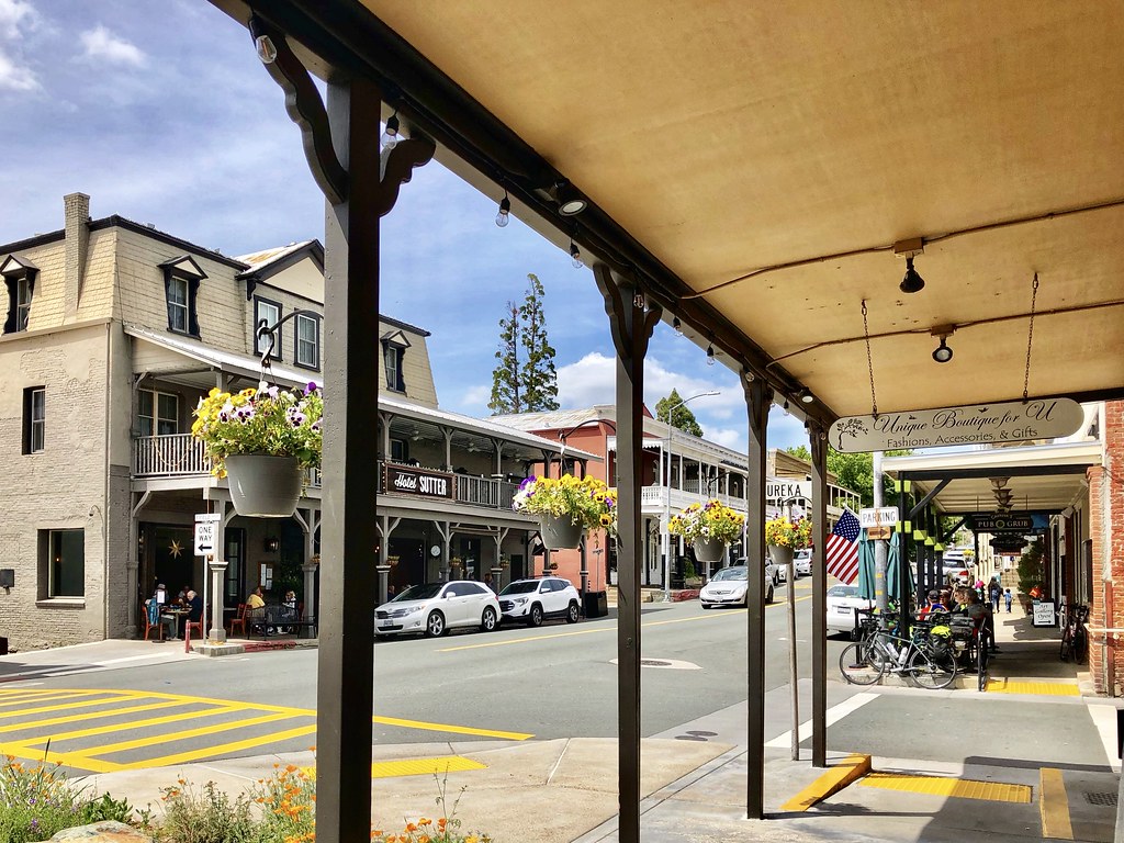
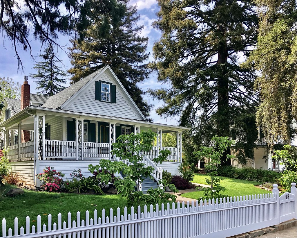
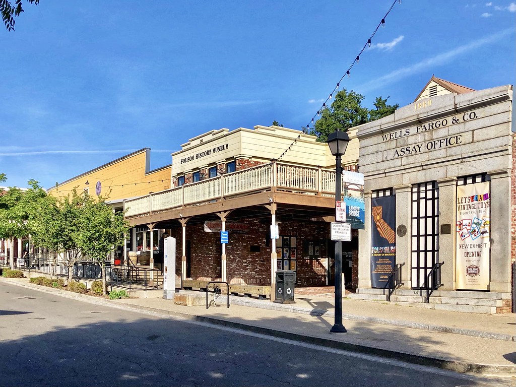
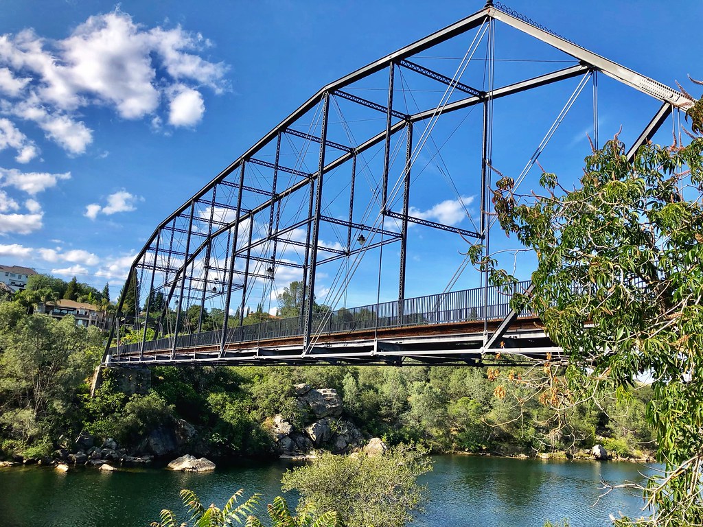
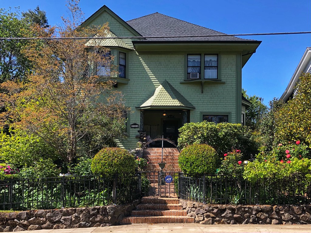
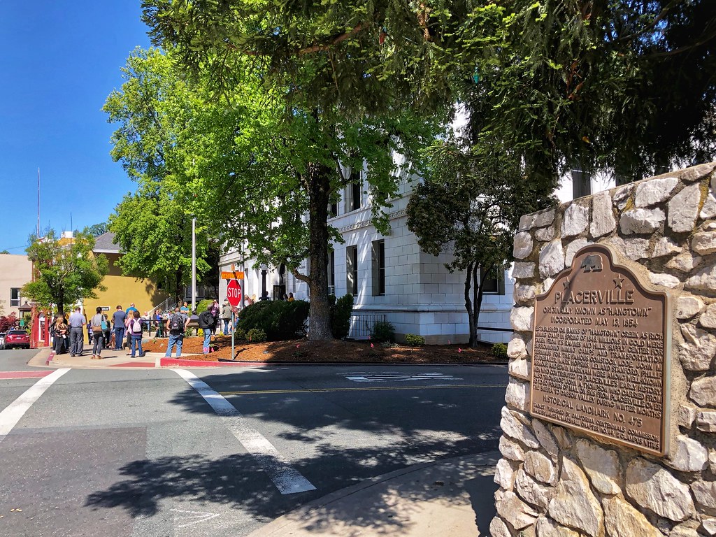
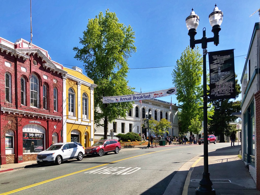
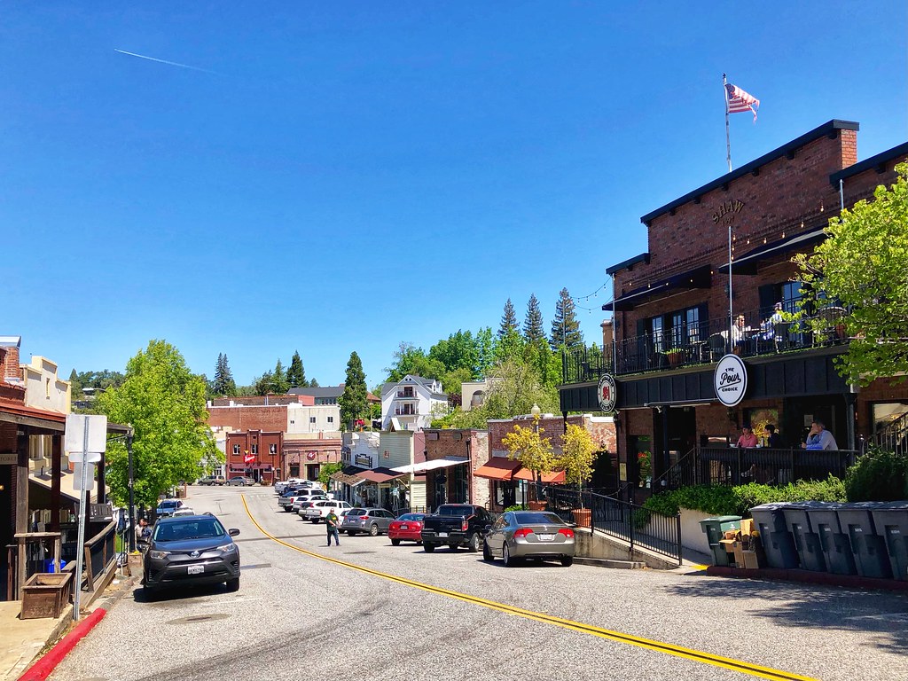
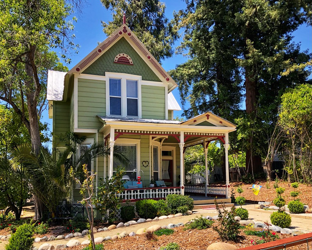
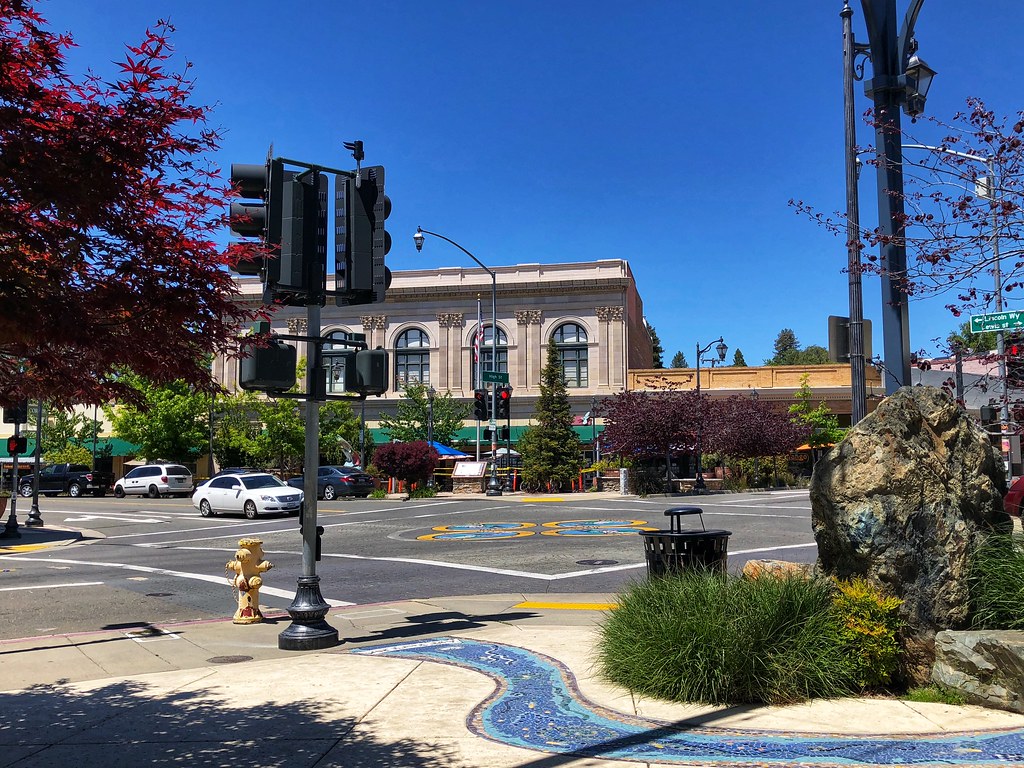
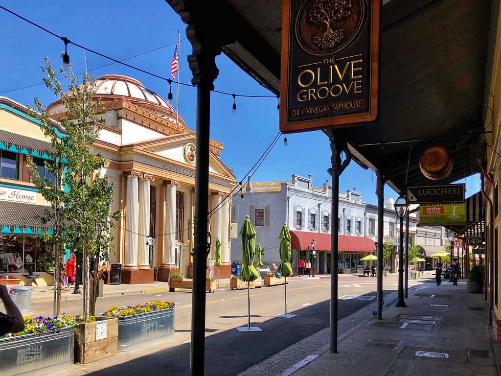
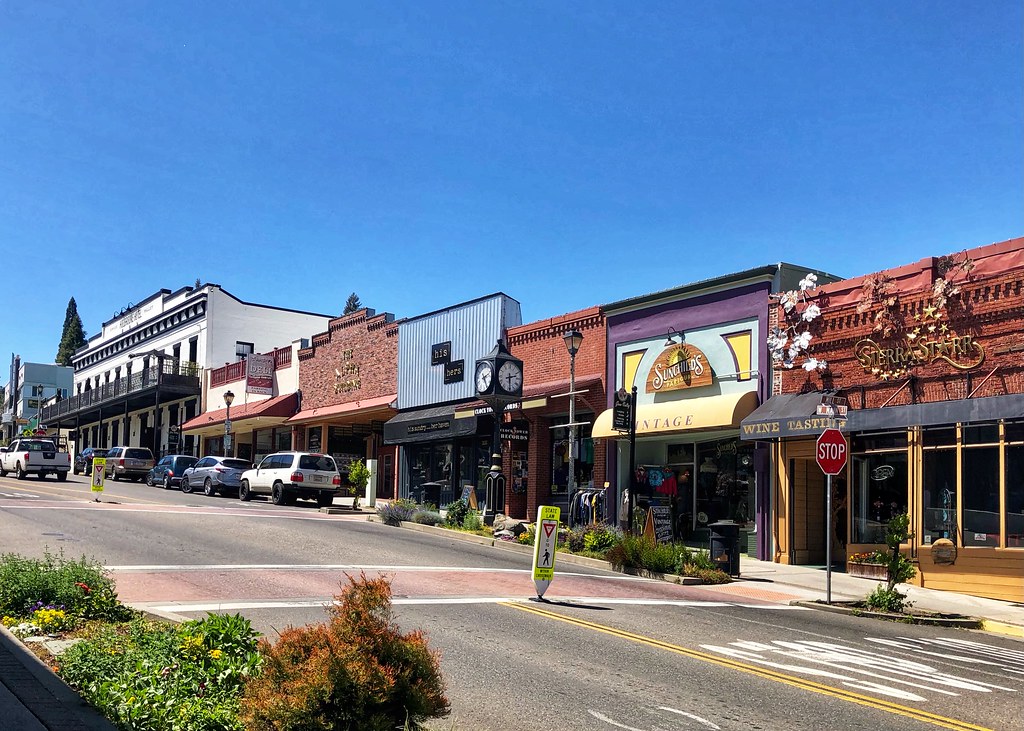
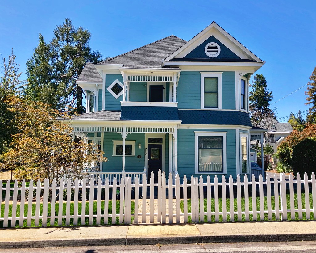
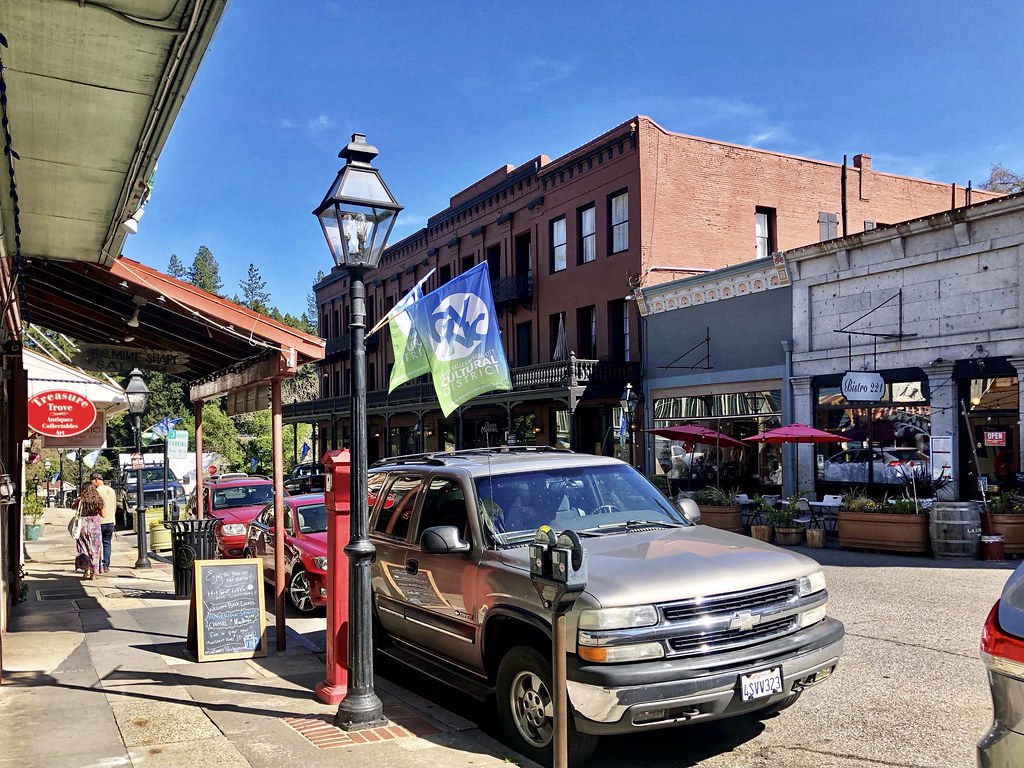
But enough about all that--this is a great thread and everyone should love the photos. Of all the towns that you captured, it's hard to pick a favorite. Placerville, Grass Valley, and Auburn are all busy and fun; Folsom is a large, modern suburb with a small historic 'old town' serving as the terminus of one of Sacramento RT's light rail lines; and the smaller towns are charming and cool.


 Linear Mode
