Oklahoma City Boulevard
I've held off putting up any posts about this, because frankly, I'm not a fan of the project.
The whole thing just mystifies me.
I-40 was relocated - half a mile south - several years ago as part of the
Core to Shore initiative.
The idea was to get rid of the elevated highway and instead create a new revitalized area between downtown (the core) all the way to the river (the shore).
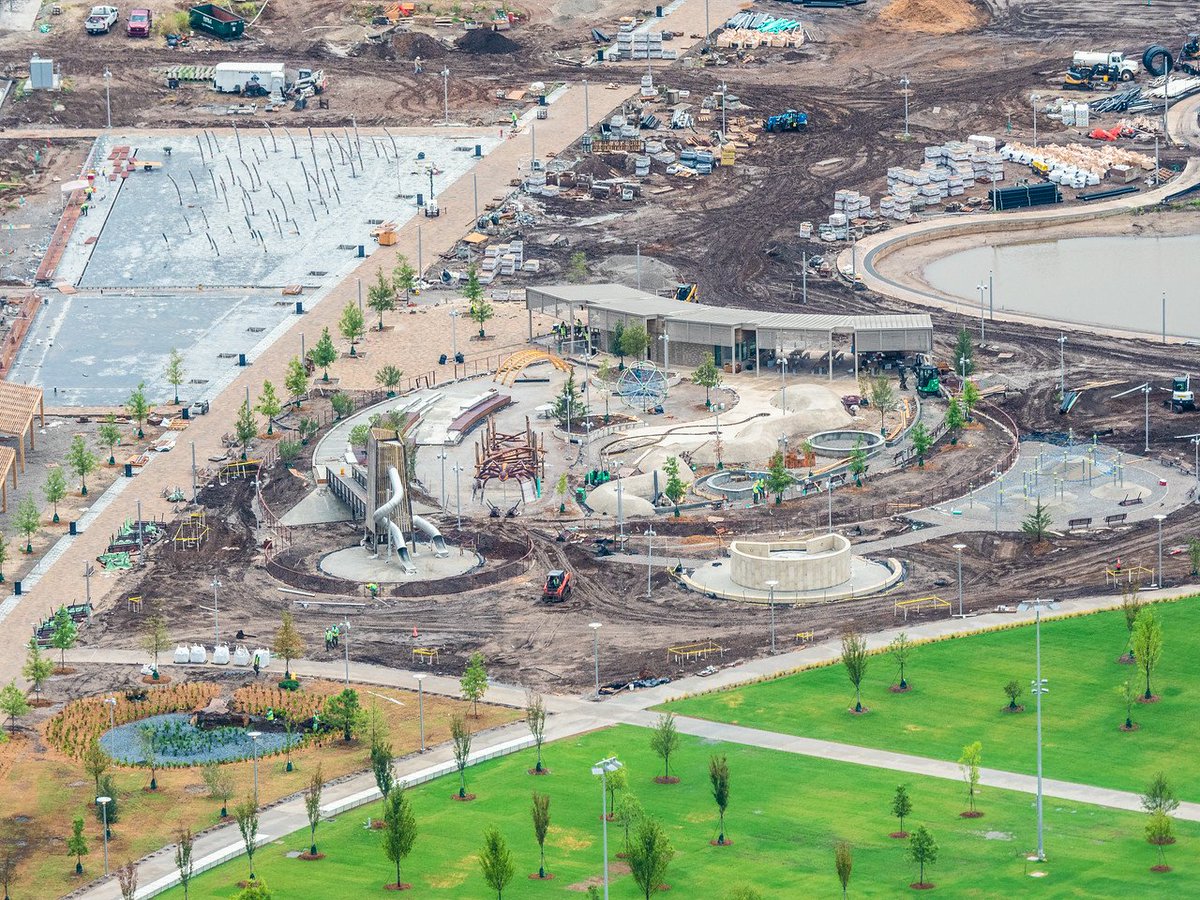
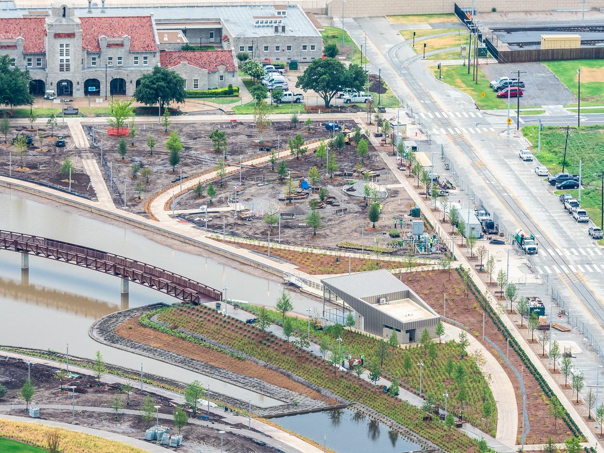
This plan led to the development of a downtown park on both sides of the interstate connected by a pedestrian bridge.
The bridge was built when I-40 was moved, and was capped by a large steel structure known as Skydance Bridge.
 https://www.okc.gov/departments/publ...kydance-bridge
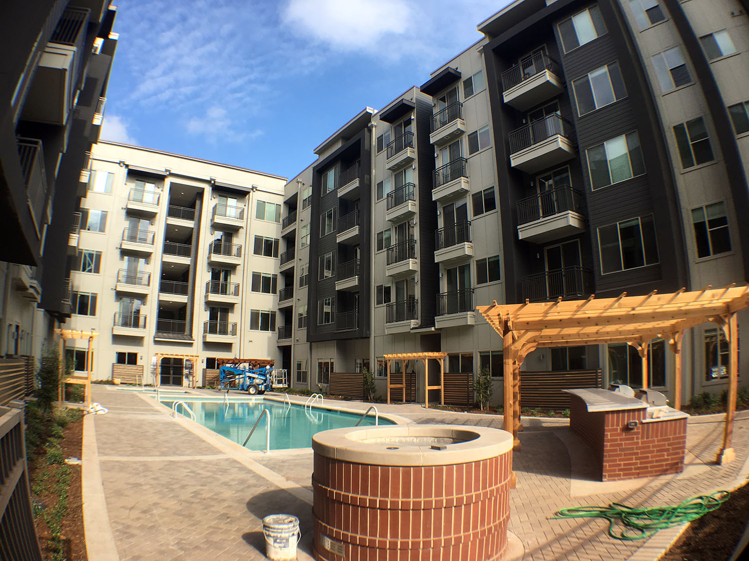
The park -- now known as Scissortail Park -- is nearly complete with the upper section.
The lower section, south of the interstate, will follow right behind.
All that has been done (or nearly so) and most people are pretty happy with the results.
Including me. I'm cool with all that work.
But another part of the
Core to Shore plan has been more vexing and controversial.
Namely, the creation of a new "boulevard" that would allow easy access from I-40 to the downtown area.
This was to be a tree-lined, pedestrian friendly "front door" to the downtown area.
Here's a graphic from an environmental assessment study done in 2001:

original:
https://andrewkstewart.files.wordpre...an_page_19.jpg
source:
https://andrewkstewart.wordpress.com...ity-boulevard/
This study is what led to the idea of the boulevard and much of what became
Core to Shore.
It also shows how long the city has been working on the idea.
It's not clear what the original planners had in mind for what the boulevard would actually look like.
Or how it would interact with the existing street grid.
After some public meetings in 2014, ODOT (Oklahoma Dept. of Transportation) released some renderings:


 https://www.okctalk.com/showthread.php?t=39688&page=14
 https://www.ok.gov/odot/I40_Crosstown_2.html
from ODOT:
Quote:
The completed Oklahoma City Boulevard will serve as a low-speed city street running through the planned convention center and central park area, connecting on the east end to I-235 and I-40 near Bricktown and on the west end to I-40 near Pennsylvania Ave. and Western Ave.
Plans for the new four-lane Boulevard include on-street parking as well as inclusion of features to make it pedestrian and bicycle friendly.
|
https://www.ok.gov/odot/I40_Crosstown_2.html
ODOT notes that the boulevard is to be a low speed street, but it doesn't feel that way.
I've driven on it a couple of times and it feels like a highway with a natural speed of about 40-50 mph.
Nothing, save your own discretion, prevents this.
If you allow traffic to whiz by at 40-50 mph, haven't you created just another highway?
Why move one highway (at great expense) only to replace it with basically another highway?
Of course, they may have other ideas to mitigate the speeding issue that I don't know about yet.
Probably the biggest concern with the new boulevard is the issue that occurs at the Western intersection.
The confluence of Western, Reno, Classen, and Exchange, combined with the new boulevard creates a knotted mess:

Classen Blvd is one of the major streets leading from north OKC to the downtown.
Exchange Avenue is the main access from downtown to the Stockyards area south of the river.
Andrew Stewart did a great analysis of the whole issue here:
https://andrewkstewart.wordpress.com...ity-boulevard/
Andrew proposed his own elegant solution for the boulevard which, alas, was not the design used.
(read the link above to see his ideas -- they are very cool and well thought out)
As an alternative, many people advocated just leaving the street grid as is.
By using a traffic circle at the Western/Classen knot, you could keep everything at-grade and improve pedestrian interactivity.
That made the most sense to me.
But that's not the way it went.
A second issue was the re-integration with I-40, east of downtown.
This resulted in an elevated section of highway having to be built, much like that which had been removed when I-40 was relocated.
It creates just as much of a physical barrier as the old interstate did.
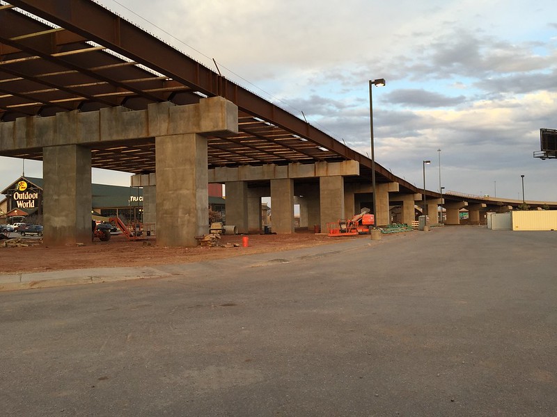
(this was taken during construction)

It also creates a steep gradient - as well as a quick change in direction - where it joins with I-40.

original:
http://www.okctalk.com/images/pete/boulevard051019b.jpg
A third issue has recently arisen.
The intersection near Oklahoma Avenue (and the U-Haul site) is being moved:
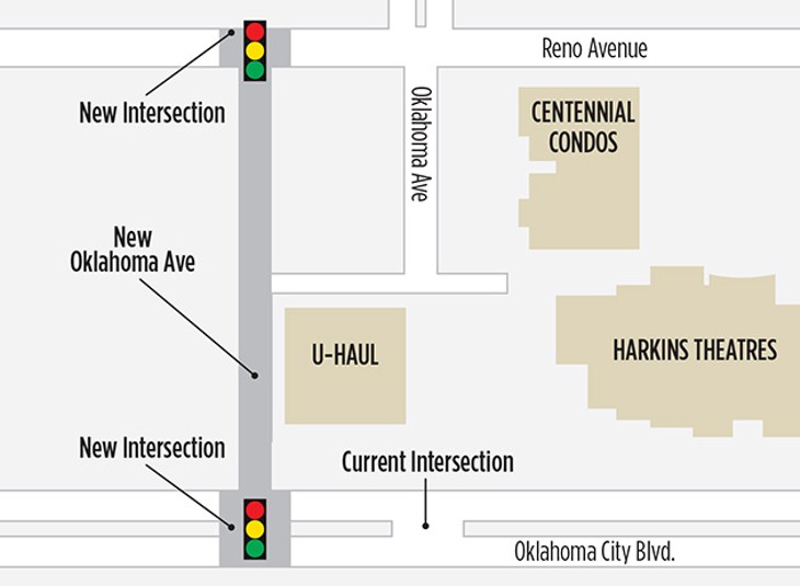 https://www.okgazette.com/oklahoma/b...nt?oid=6330735
Which is even more weirdness... and expense.
(even after reading the explanations for the intersection move, I'm still a bit confused)
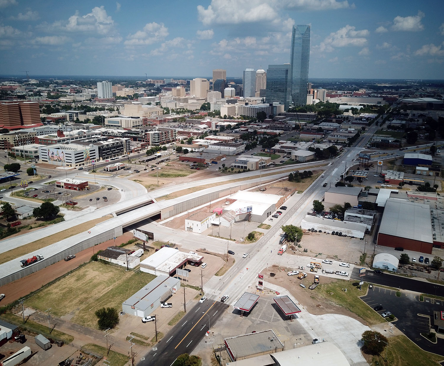
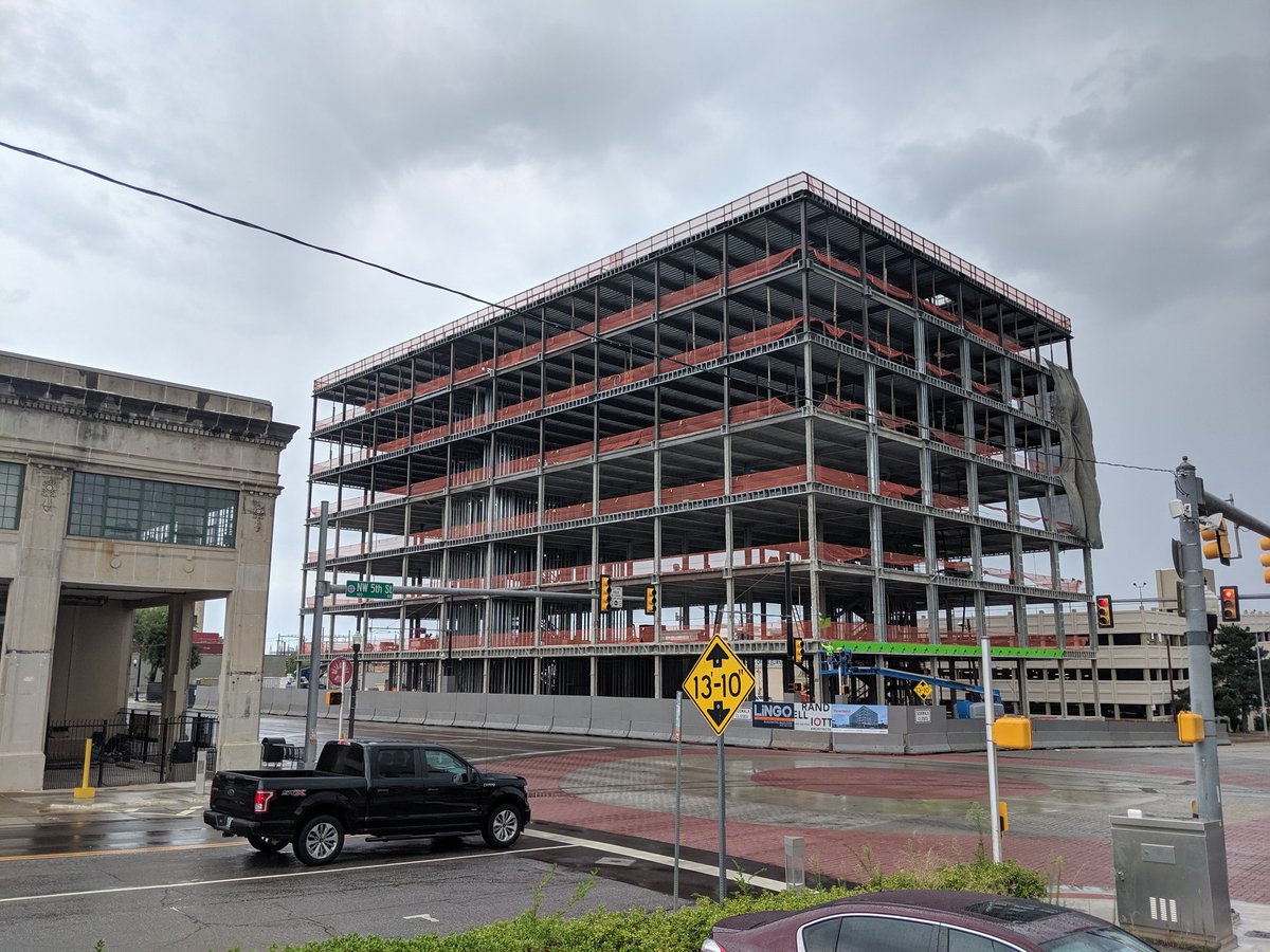
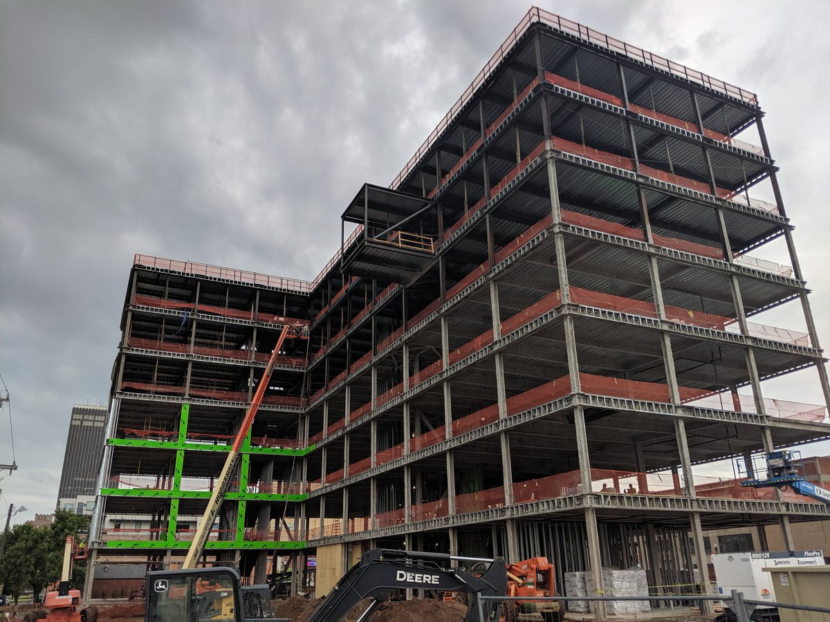
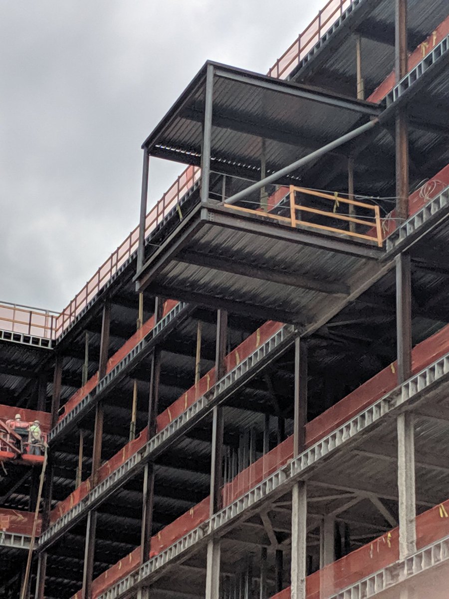
In any event, the construction of the boulevard has chugged along for several years now.
Here's how it currently looks, from just a few days ago:


 https://www.okctalk.com/showthread.php?t=39688&page=44
Hopefully the elevated section is kept well salted during icy winter conditions.
They still have a lot of landscaping to do (planting trees and bushes) in the medians.
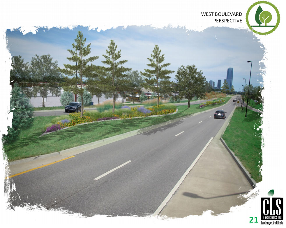
Here's some renderings showing how the final result is supposed to look:


The Boulevard is scheduled to have a ribbon cutting ceremony on August 19.
https://oklahoman.com/article/563793...ted-for-aug-19
I don't think it could possibly be finished just 10 days from now, but... whatever.
I guess every city has to have some big, complicated, expensive project that has a lot of people scratching their heads, wondering why...
This, apparently, is ours.


 Prev
Prev


 Linear Mode
