Quote:
Originally Posted by Klazu

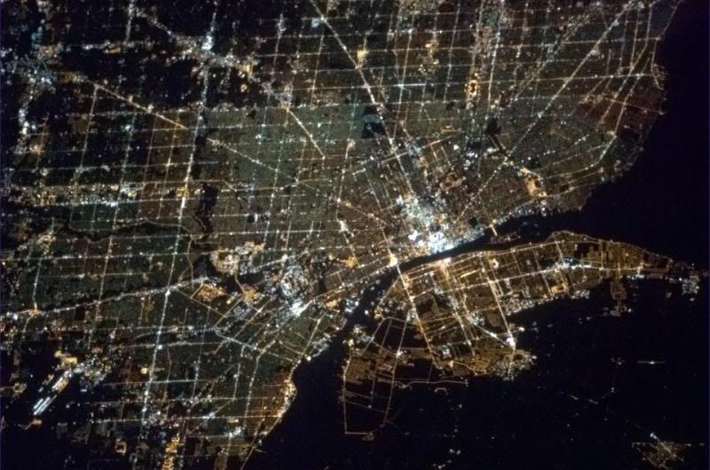
I know Detroit is in decline, but they still seem to have few people living in there.  |
Downtown Detroit is actually quite nice. Not vibrant but there is great architecture that make us remember the ancient grandeur of Detroit.
As soon as you leave downtown, it gets really bad tough. And I mean, awfully bad...I just hope things will get better.
Downtown being nice then it gets awful, and then the farther out of downtown, the better it gets.


 Prev
Prev


 [/IMG]


 Linear Mode
