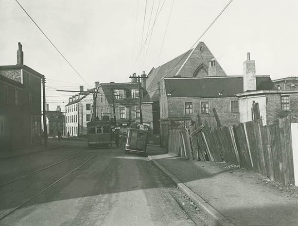
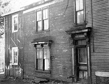
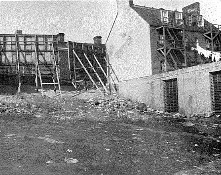
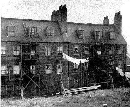
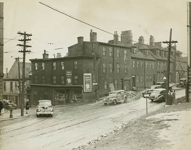
It would be interesting to find a detailed study of the buildings that existed in this area. The "slum" label doesn't do this part of town justice; it was a fine-grained mix of buildings of different levels of quality from different eras. Some of the buildings would have been simple wooden boxes but others would have been worth preserving.
I've read that Prince Edward's townhouse (Prince's Lodge along the Bedford Highway was the country estate) was on the north side of town near the Citadel, but I've never seen paintings or photos and I'm not sure what it looked like or how long it survived.
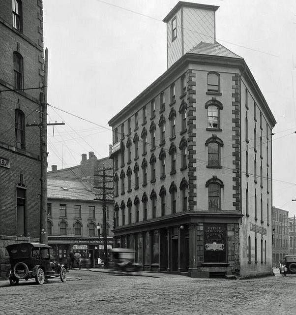
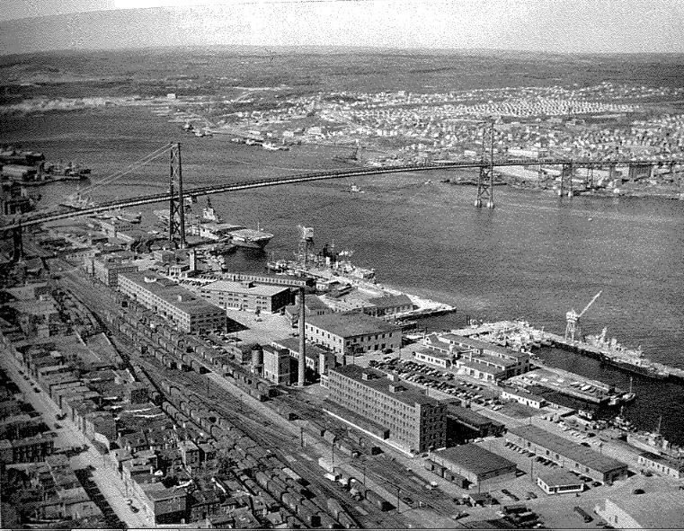
Another interesting set of buildings were in the Ordnance Yard. Many of these dated back more or less to the original naval dockyard construction in the 1700's. Here's a Notman photo of one of the old stone warehouses from that period. The clock on top is the one that's now on the ugly blue and yellow clock tower down near Nova Scotia Crystal; the mechanism, believe it or not, is from 1772:
http://novascotia.ca/archives/virtua...ives.asp?ID=13
I think it would be great if some phase of waterfront redevelopment downtown involved faithfully reconstructing some of these old waterfront features that have been lost.


 Prev
Prev


 Linear Mode
