Quote:
Originally Posted by Tourmaline

|
I really like this March 1958 photo and have gone back to look at it several times. The State of California Building, City Hall and City Hall South look like a misty Utopian dream of the 20th century compared to the darker, smaller, older brick building, which the Huntington identifies as the "Seattle Rms".
I'm particularly taken with the painted sign, revealed by the demolition, and was trying to figure out its vintage. Joseph Maier and George Zoebelein were in partnership since at least 1882. Maier died in 1904. Zoebelein had a disagreement with the Maier heirs and left to start Eastside beer (at the Los Angeles Brewery across the river, hence the beer's name) in 1907, so the sign's at least before that date. I remain mystified by "The 2 Johns Sample Rooms" text. I was hoping someone could explain it to me.
There's a rooftop sign too, "3 Palms....."(?) and the back of a complex billboard, on the left in the photo above..
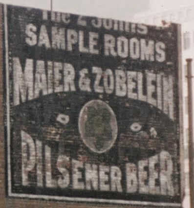
(detail)
http://hdl.huntington.org/cdm/single...id/7939/rec/56
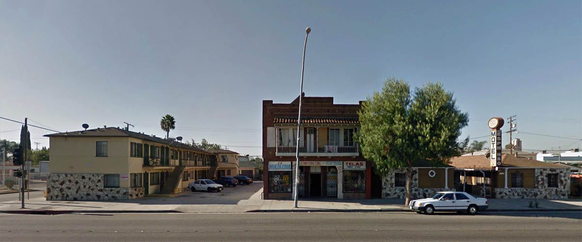
Today:

gsv
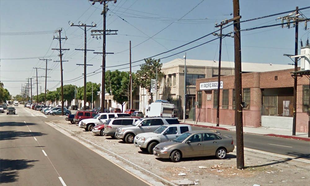
The
Hilton DoubleTree Caltrans District 7 Headquarters eventually took the place of the brick buildings on the south side of East 1st:

gsv
Thx
HossC for the correction :-) I remember various places on that block from the turn of the century. Bail bonds businesses, the Latino Art Musem (in a rehabbed Bank of America branch), etc.


 Prev
Prev


 )
) 


 Linear Mode
