Quote:
Originally Posted by photolitherland

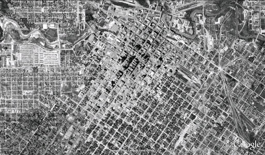
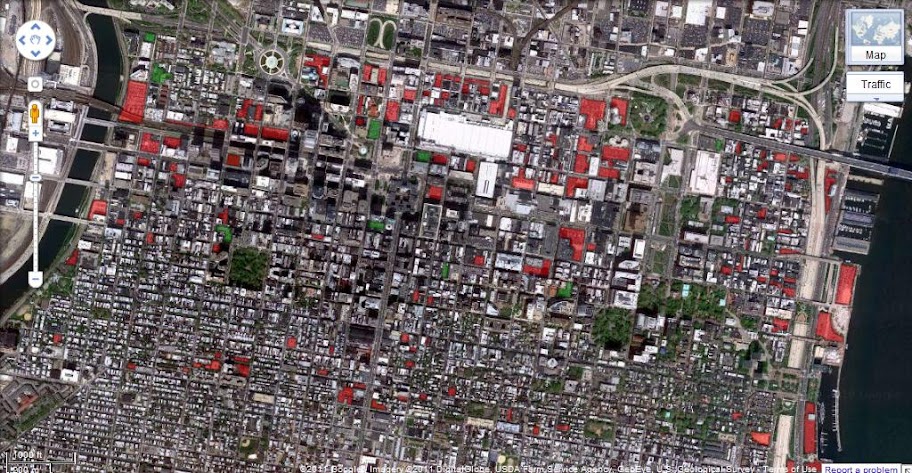
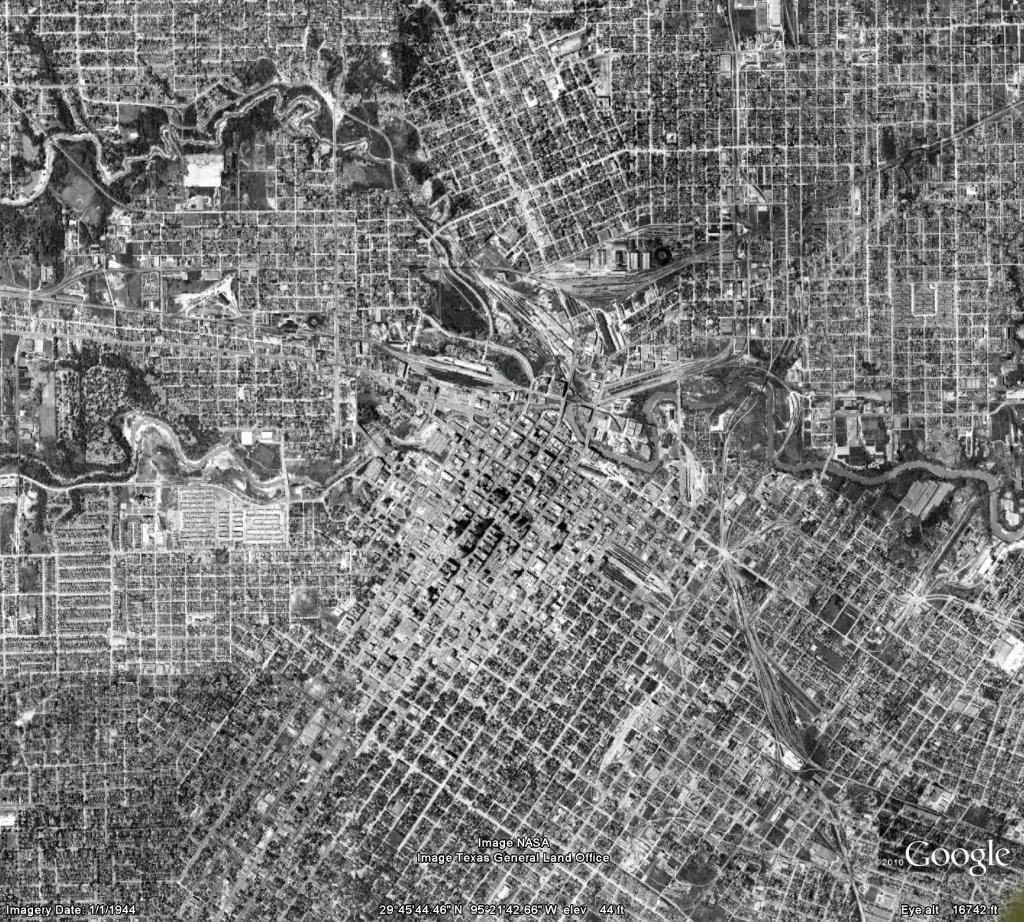
What happened to Houston is tragic. Most of the inner city hoods today that are in that 1944 photo are either totally destroyed or greatly altered. Hardly any of the oldest neighborhoods survive intact today. The most dense area on that map, besides downtown, is Freemans Town, or Freedmans Town just southwest of downtown. It was Houstons original black neighborhood. Today, only a dozen or so houses from that area remain as Id say 99% of it was torn down and now replaced by tin sided apartments and suburban style apartments. The only hood that predates the 20s and 30s that still has some older houses in it would be The Heights, and even then, much of its history was lost also. I want to buy a billboard in Houston and post those two photos next to each, the then and now, and have it say, See What Was Lost? Most people have no clue or just dont care and it breaks my heart.
|
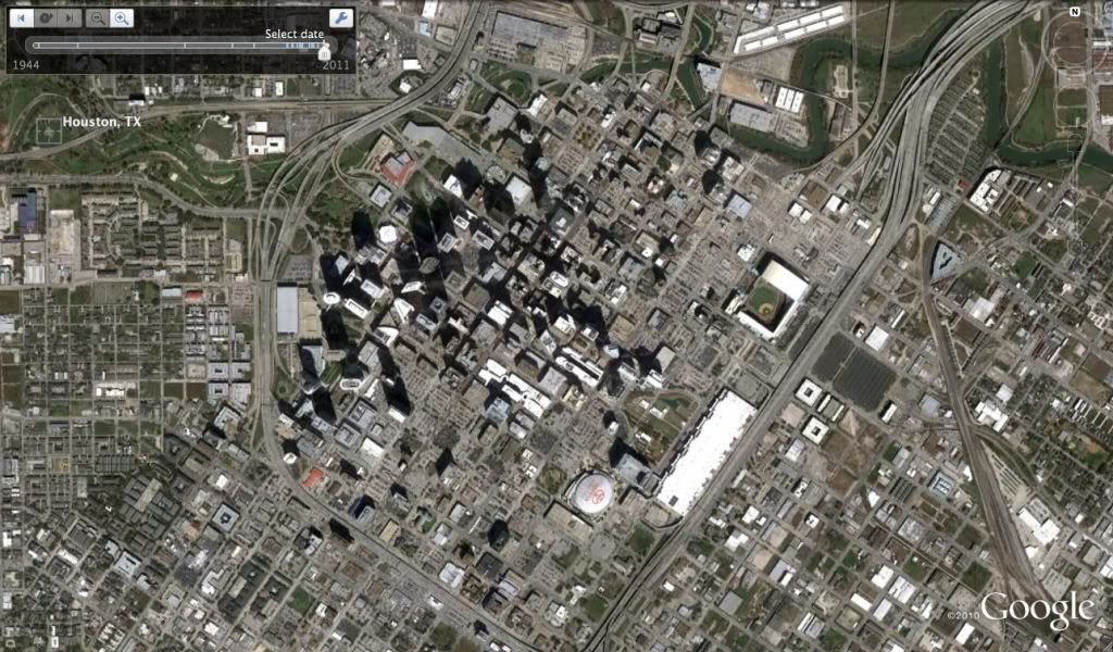
I usually agree with you, but you have no idea of what you are talking about. There are 1920s and 1930s houses remaining in the Third Ward, Fifth Ward, Washington Terrace, Old Sixth Ward, Riverside Terrace, Boulevard Oaks, Montrose, Southampton, Old Braeswood, the Museum District, River Oaks, and many more places.
Cities evolve. There was NO WAY that the 4th Ward was going to remain with single story shotgun houses when it stood literally across the street from downtown. And, the 4th Ward had been dying for many decades as affluent blacks left it in favor of the Third Ward, Riverside Terrace, and later for places like Pearland and Missouri City. Honestly, other than the displacement of the poor, I think the new 4th ward is a HUGE improvement with things like Post Midtown Square, the Edge, The Rise, and hundreds of condos and apartments in mutli-story structures standing on lots that used to house small single story homes.
Do you think Boston of today looks like the Boston of 1700?


 Prev
Prev


 Linear Mode
