I found these four Kodachrome slides as a group on ebay. (there were 5 actually; I posted the fifth a few months back)
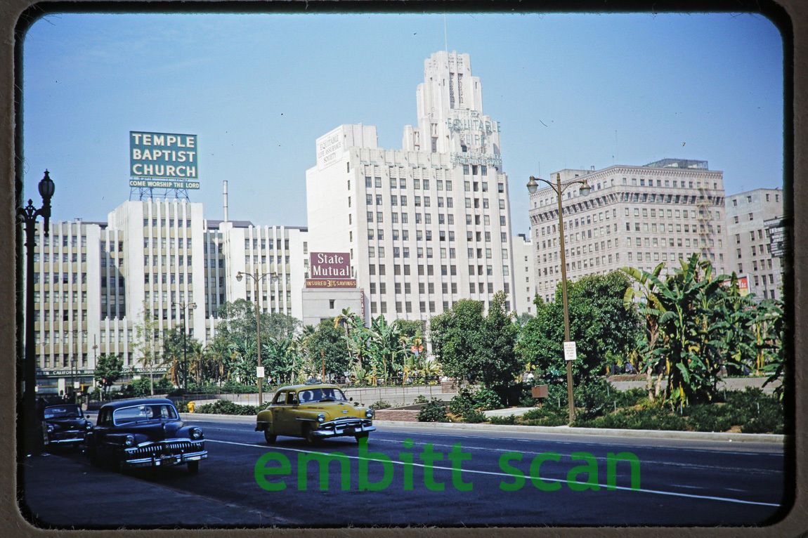
Olive Street, Pershing Square.
#1
ebay
The square looks wonderfully lush.
odinthor, do you recognize any of the flora?
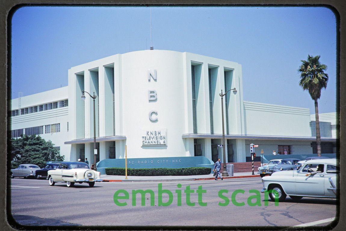
The Biltmore Hotel, Pershing Square.
#2

ebay
I've never noticed the two birdhouses before.
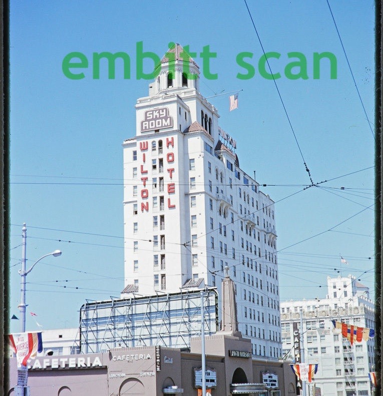
A freshly painted NBC Radio City, Sunset & Vine
#3
I'm half-expecting Michael and his family to drive by in their blue
Nash.

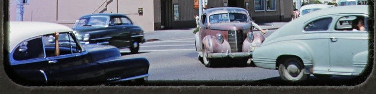
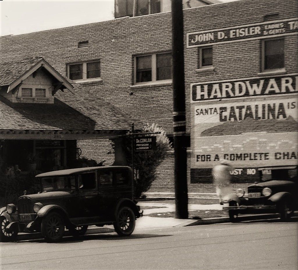
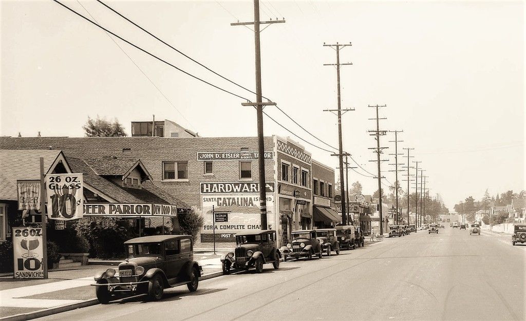
Wilton Hotel & Sky Room, Long Beach.
#4
ebay
I don't recall the name of this cafeteria

# # # # #
Oh, and here's the 5th slide of the group I posted a couple months ago. (sorry for the delay in posting the remaining four) I got sidetracked I guess.
Looking south on Olive toward Pershing Square.
#5
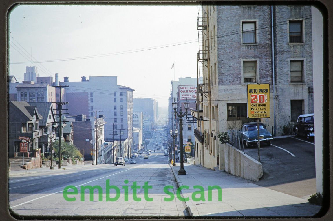
ebay
Still lovin' it!


 Prev
Prev


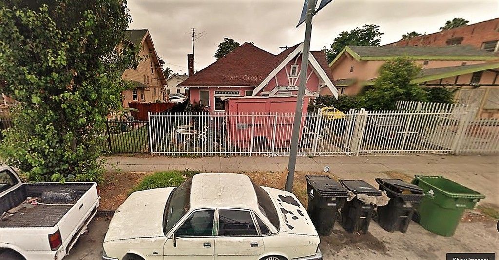
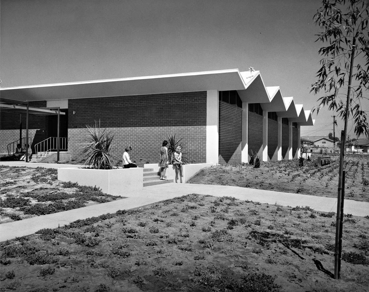
 GoogleSV
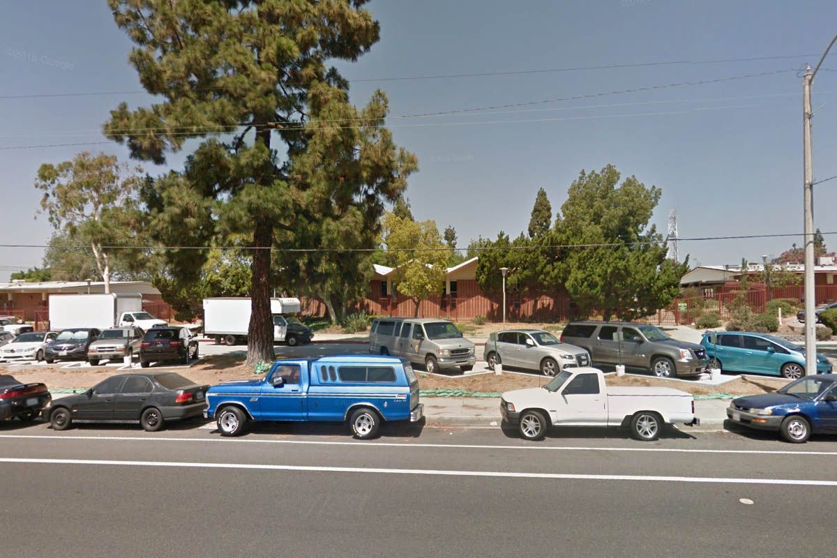
 GoogleSV
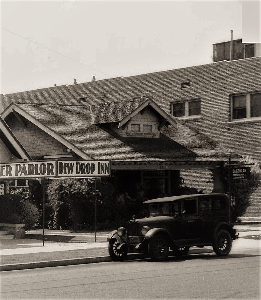
 GoogleSV

 GoogleSV
 GoogleSV


 Linear Mode
