Quote:
Originally Posted by sopas ej

I know of only one other milestone marker, and it's in Pasadena. I had meant to take a picture of it years ago and post it on this thread, but never got around to it.
Here is a link:
https://www.nps.gov/nr/travel/route6..._pasadena.html
I wasn't aware that Downey and Norwalk had milestone markers; thanks for sharing that. I grew up in that general area (Cerritos). |
Thanks,
sopas ej for this link, which explains everything (in short, it's a milestone system of one Albert Bancroft, implemented around 1902-1908).
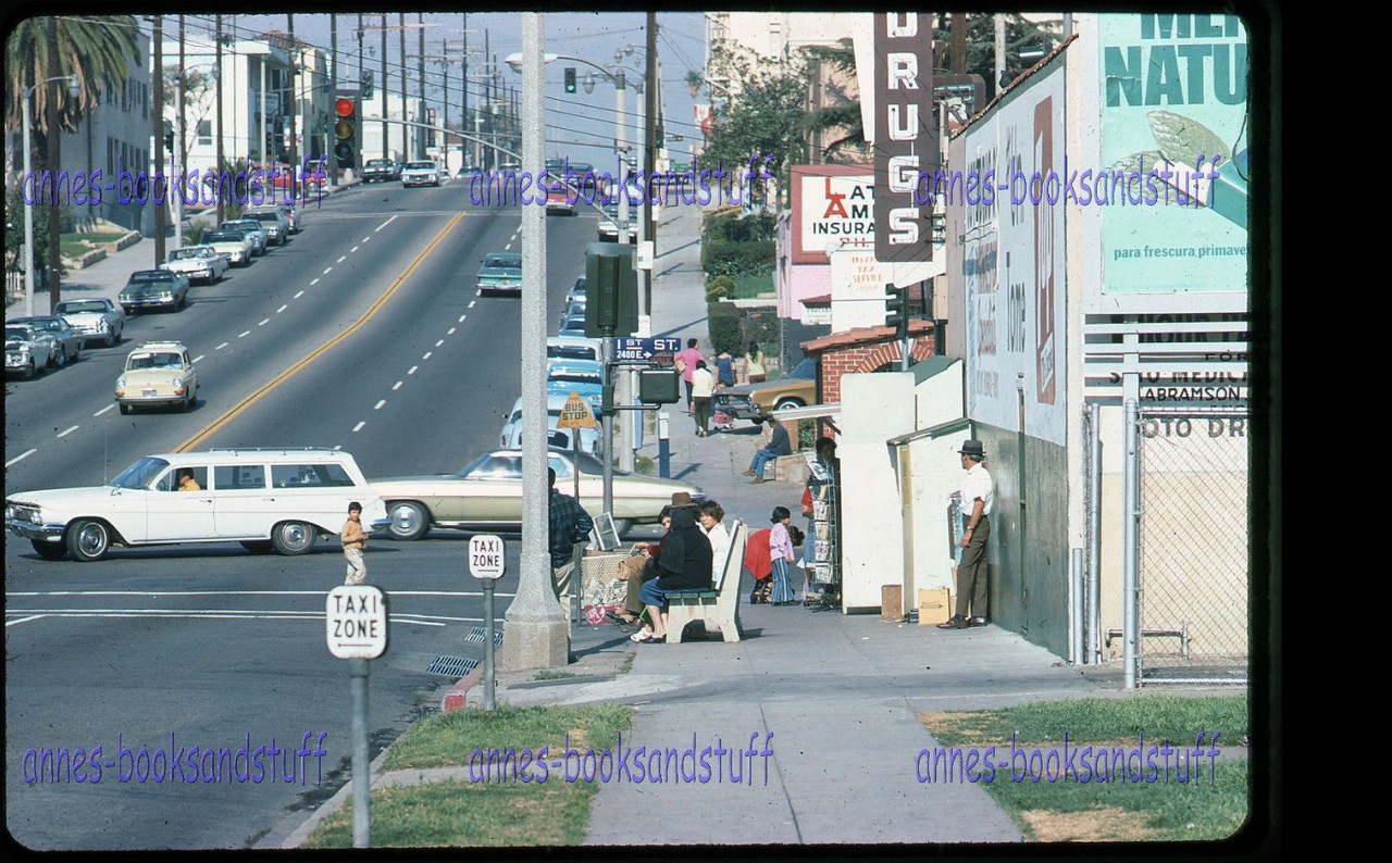
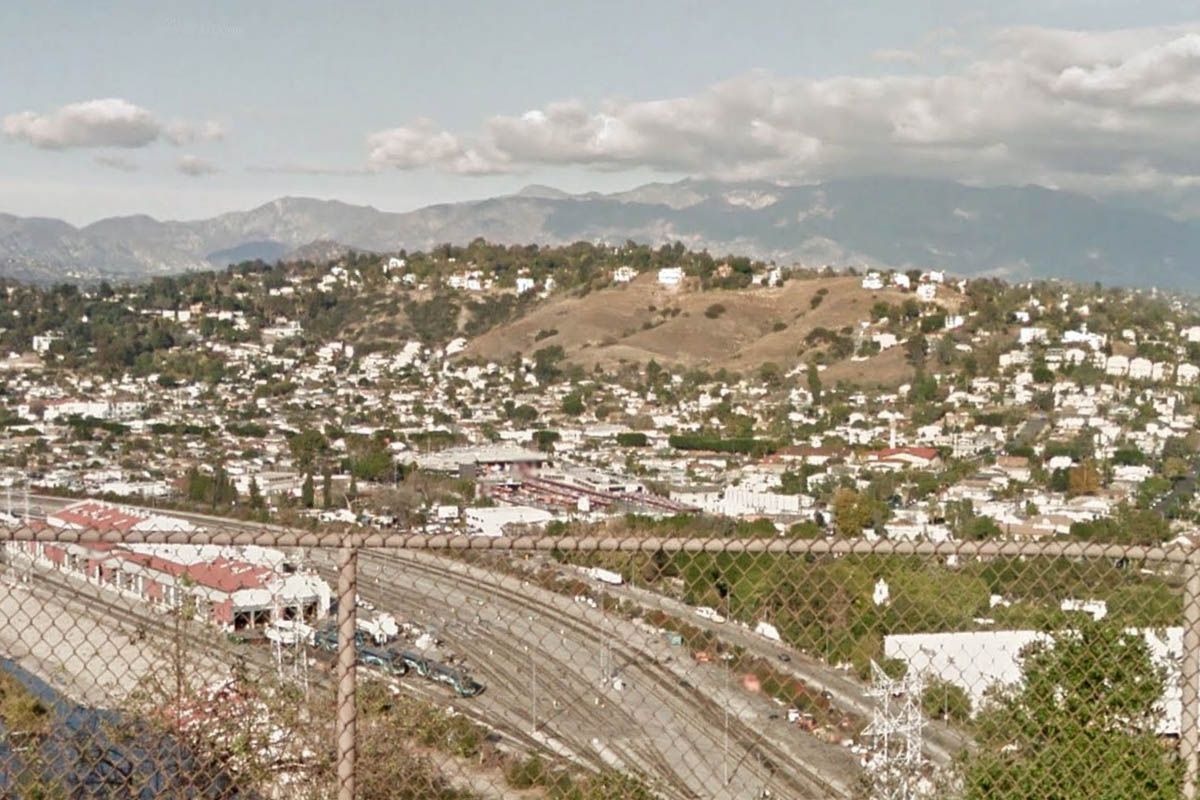
As to the Old San Diego Road mentioned in earlier postings, and drawing in a scattered way from my various looks into old accounts, arrivals from SD by land back in ye olden tymes were more or less principally (and with many variations depending upon the particular needs of the individual traveler) by either the "lower" route or the "upper" route. The "lower" route would be--starting in SD, and in today's terms--the 15 to the 91 to the 5 then west on Firestone to Alameda, north on Alameda to downtown; an important variation of this would be the San Juan Cap variation in which the traveler from SD would go on the
west side of Lake Elsinore (rather than the east), then over the mountains on the Ortega Highway route to SJC, then northwards on what is now the 405 route to the 5, then as before). The SJC variation was what the incoming Gov. Micheltorena and his “battalion of thieves and pickpockets scoured from the jails” took in 1842, the LA city fathers meeting and greeting him in what now is Downey.
The "upper" route would replace going west on Firestone with continuing northerly on the 5 then 101, and entering downtown LA via what was Aliso before the freeways. An even more upperly route would be to come in via Mission San Gabriel; but that way diminished in importance as time went on.
When Commodore Stockton and the American force were coming up from SD at the end of 1846/first days of 1847, the
Californios anticipated that he would be coming via the "lower" route, and so prepared an ambush at the San Gabriel River crossing of that route. Fortunately or unfortunately (me, I'm always on the side of the
Californios!), some favoring the Yankee cause gave warning to Stockton, who then altered his course and took the "upper" route vis-à-vis the river crossing, making the
Californios scramble to dispute the crossing.
Well, and so on and so forth... That's what I think of when I think of the Old San Diego Road!


 Prev
Prev


 Thanks for the information HenryHuntington. Your insight is always appreciated.
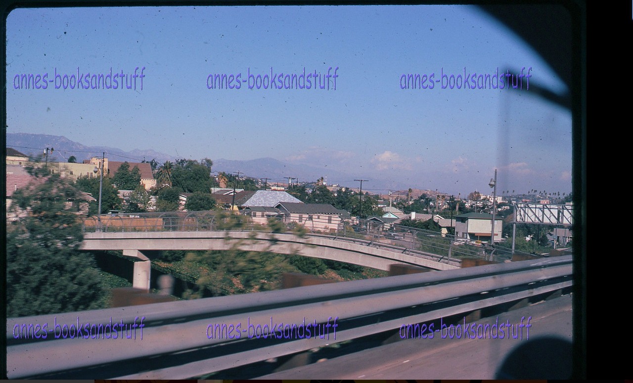

 .
.


 .
.


 Linear Mode
