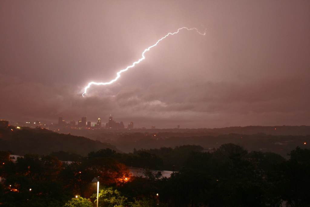
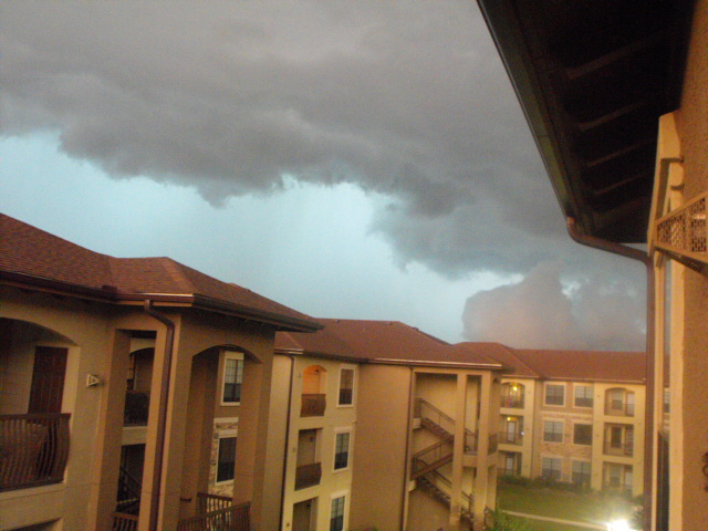
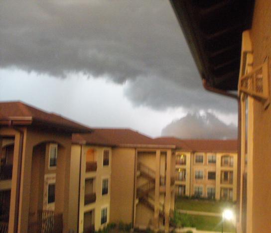
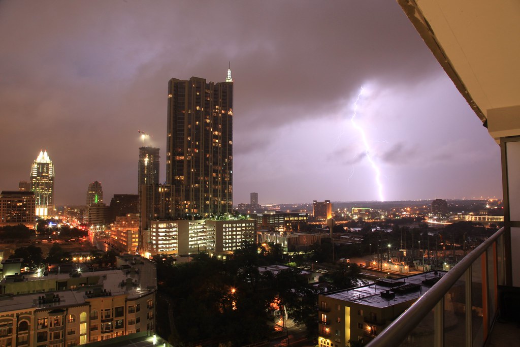
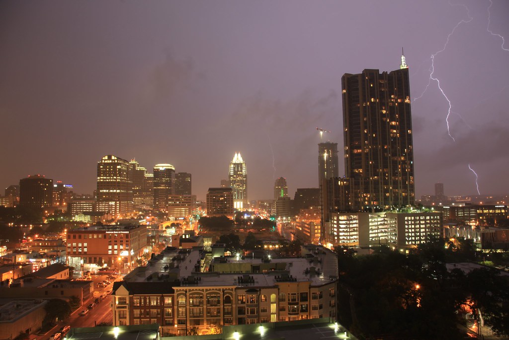
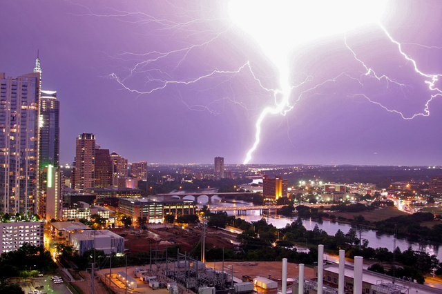
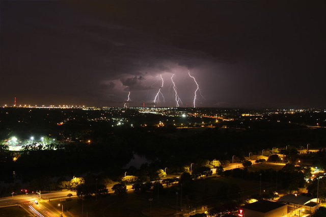
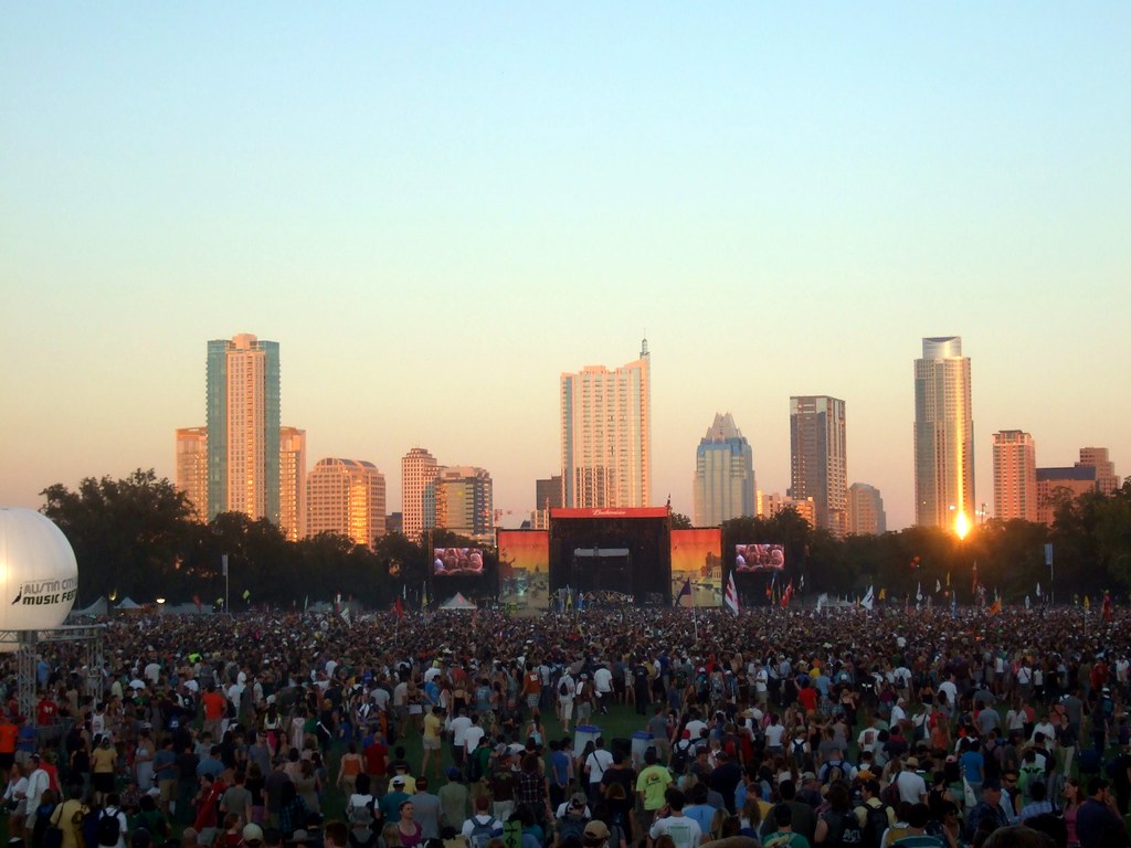
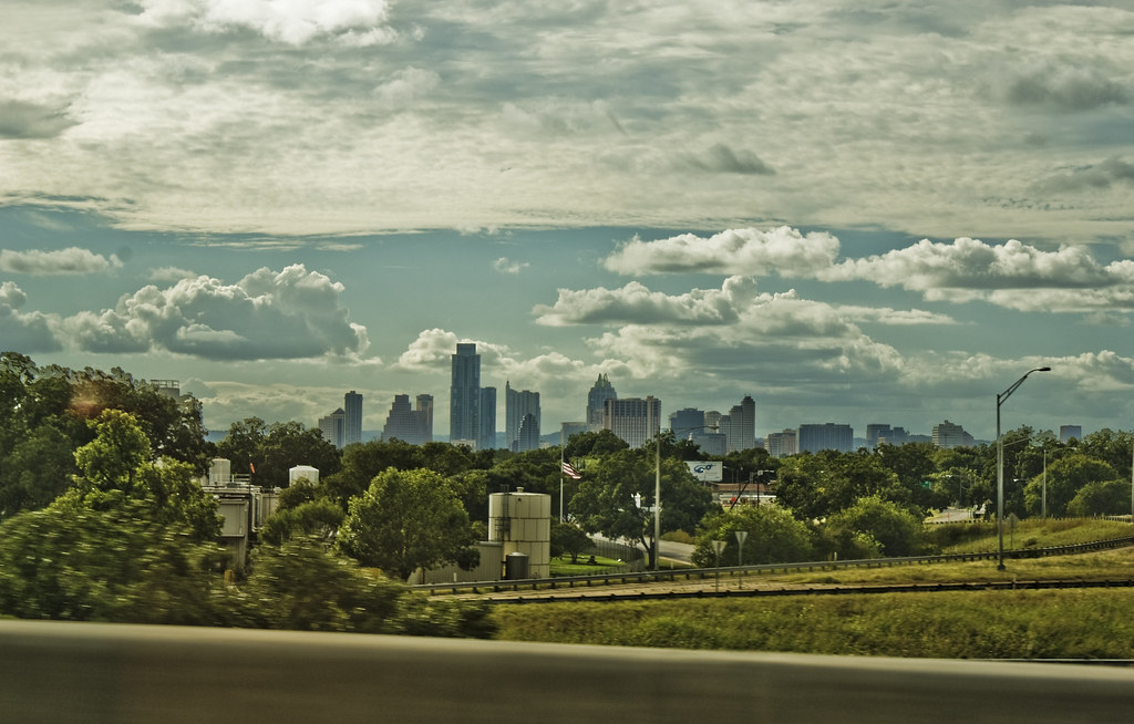
Great pics, diskojoe. I really like the 2nd one. I'm guessing that was taken from along 183 somewhere.
Quote:
Originally Posted by photolitherland

I was looking at the line in google Earth and it seems quite strange, there are hardly any stops in residential areas and it looks like you have to drive your car to wherever there is a stop for it. Seems like they didnt plan that out too well. Id like to ride it sometime though.
|
It really cuts through North Austin in such a way that doesn't make it all that convenient to get to on foot. Being that it was a freight line, it sort of slices through the city and doesn't really interact with it. It's a freight line, so it behaves like a highway basically. One neat thing about it, is it follows the same route of the trains they used to build the Capitol. There are actually still large pieces of granite laying along the tracks that had fallen off the trains. They never bothered to pick them up, so they're still there. The granite from the Capitol was quarried from a spot near Marble Falls, Texas. That quarry is actually still in use. Pretty much all of the granite, and limestone, too, in Austin and San Antonio's skyscrapers comes out of the Hill Country. People beat up on San Antonio for having a "brown stone skyline" whatever that means, but it simply makes sense to use local material.


 Prev
Prev


 Linear Mode
