These are all incredible. I hope you've posted them in other places so more people can see.
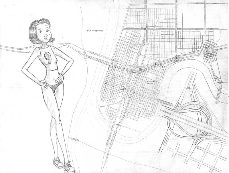
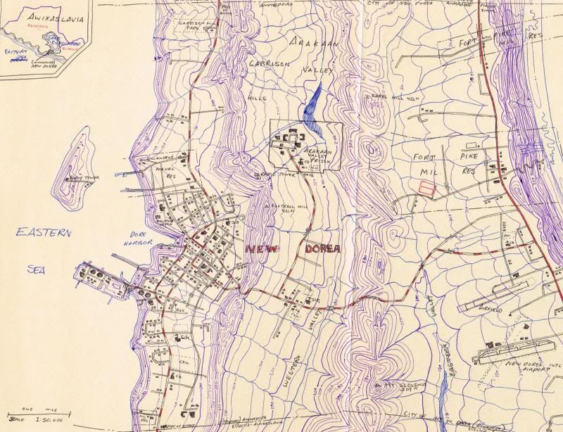
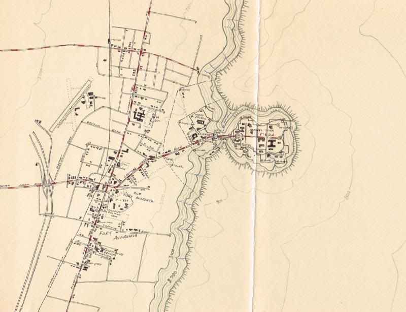
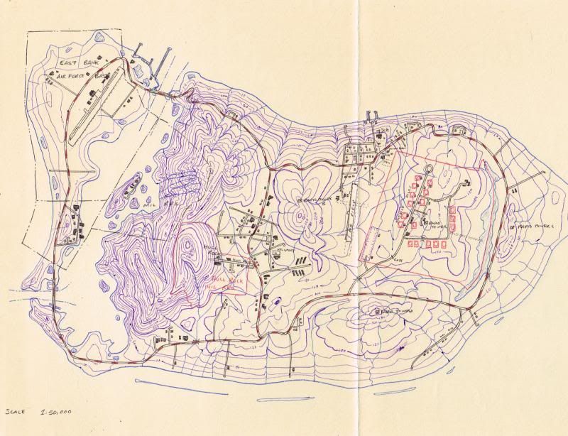
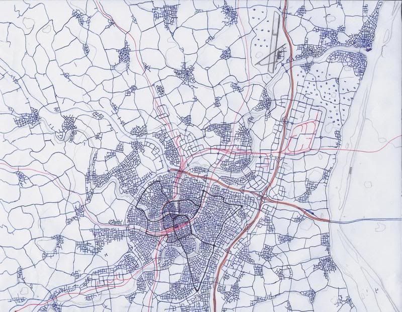
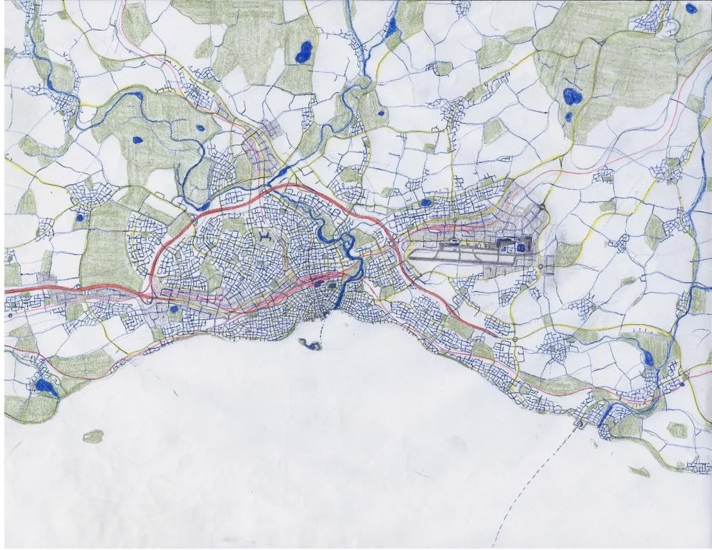
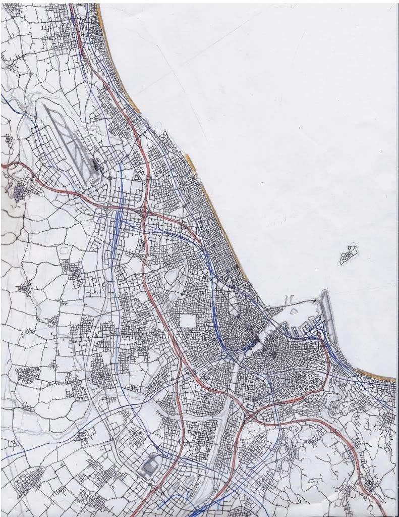
I'm just getting started. Here's a topographical contour map I drew freehand. I also have GIMP and Inkscape which I'll use later. Sorry about the bad scan, I don't know how to change the settings on my cheap printer.
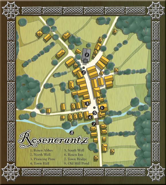
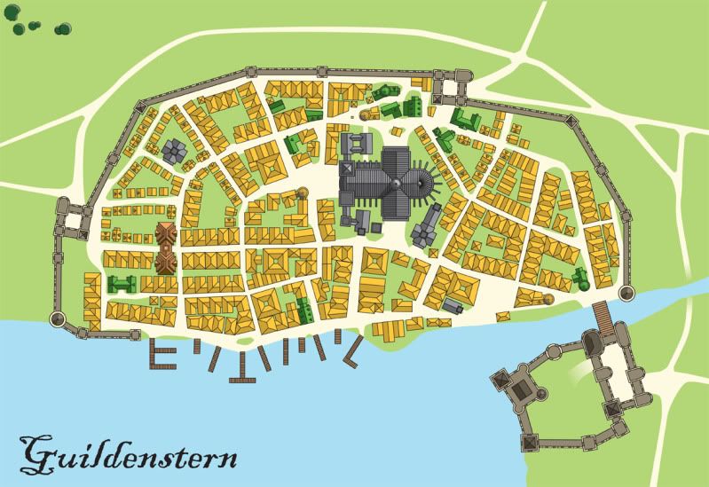
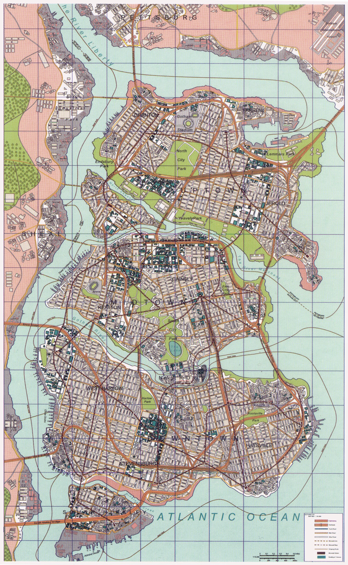
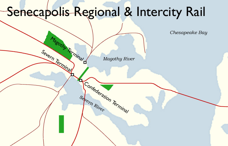
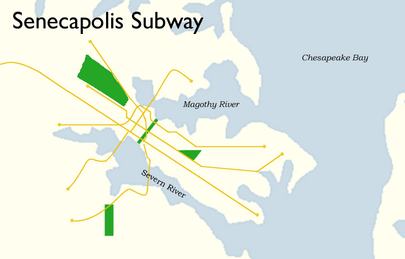
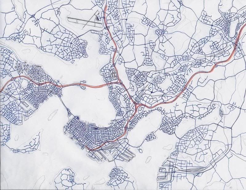
It's supposed to be an island that's roughly 40 miles long and 20 miles wide, a bit smaller than Oahu basically. Each contour is 100 meters of elevation, with the highest point being >900m above sea level. There will be a small city of about 350,000 at the mouth of the bay on the island's western coast and some small towns elsewhere on the island.
I'm going to call it Vendia, I think. It's an obsolete name for a geological period so its probably not owned by anyone, and it also sounds vaguely latin or Spanish. Maybe the natives sold it to a European explorer for a gold coin or something, vende...
So what now? I assume I'll go about tracing it, making a layer for each contour(a line+plus a filled polygon). I could use the filled polygons to do elevation shading, and overlay the contour lines over that?
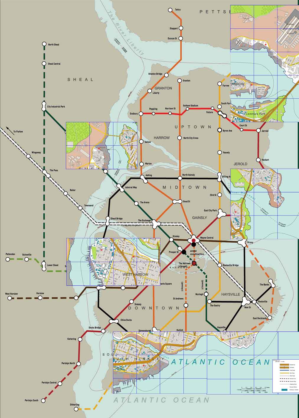
I don't know anything about mapmaking(I've used GIS, but not for anything you'd call art). It would be nice if I could use the contours to make a rough grayscale elevation map and airbrush in the fine details, and then use that to generate a colored elevation layer(maybe using levels and colorize, or something)? To make shadows do I have to paint them or is there a way to do a hillshade using some kind of artistic photo effect plugin? I want it to have a nice Rand McNally World Atlas look, then reduce the saturation and/or transparency of this layer and add road atlas type features to it, Essentially I want to make something analogous to one of those overly busy, multi-themed US state road map/tourism guides you can get from visitor offices. It will be a huge stew of information, roads, rails, urbanized areas, to natural features, etc. I imagine the final result will be a humongous image.


 Prev
Prev


 Linear Mode
