Gettysburg, PA is most widely known for the Battle of Gettysburg, which took place from July 1 to July 3, 1863. It is the seat of Adams County, and is located at a major crossroads of the Lincoln Highway (which is a significant reason why the battle took place where it did).
Gettysburg, PA
Battle of Gettysburg
This photo thread focuses on the town of Gettysburg, with several shots of the battlefield thrown in. Photos were taken on 4 different trips (October 2010, April 2011, October 2012 and April 2013).
The historic Sachs Covered Bridge, built in 1854, which was crossed by both sides in the battle.
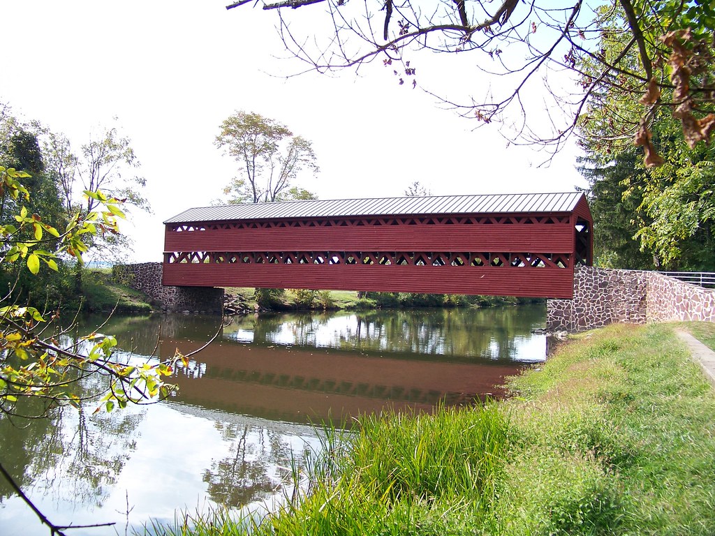 Sachs Covered Bridge
 by
jmd41280, on Flickr
View of Gettysburg from Oak Ridge on the battlefield
 Gettysburg from Oak Ridge
 by
jmd41280, on Flickr
Lutheran Theological Seminary, founded in 1826
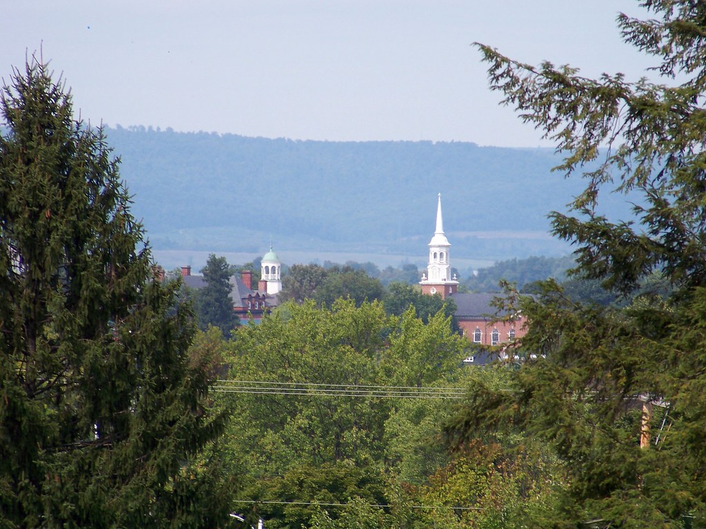 Lutheran Seminary from National Cemetery
 by
jmd41280, on Flickr
Taneytown Road, descending from the battlefield into town
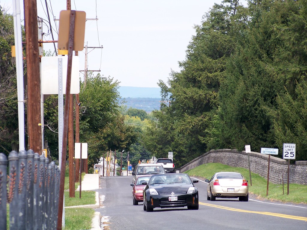 Taneytown Rd. looking north
 by
jmd41280, on Flickr
Lincoln Highway (Chambersburg St.) in downtown
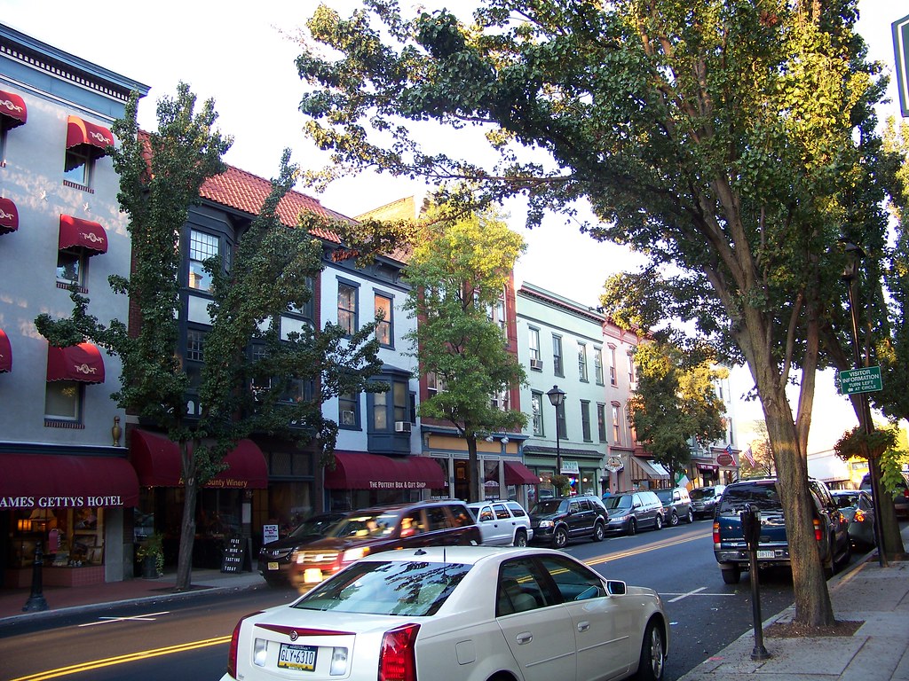 Gettysburg, PA
 by
jmd41280, on Flickr
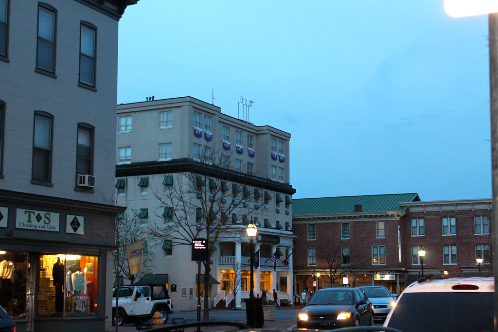
James Gettys Hotel, which was used as a hospital for wounded soldiers after the battle
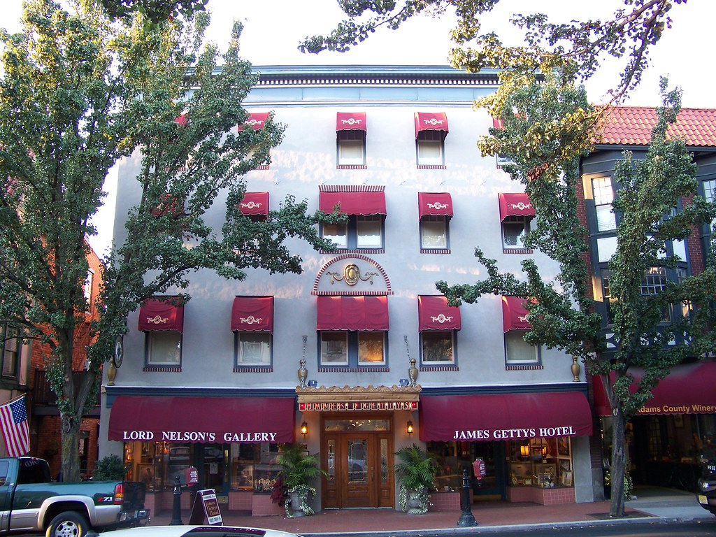 James Gettys Hotel
 by
jmd41280, on Flickr
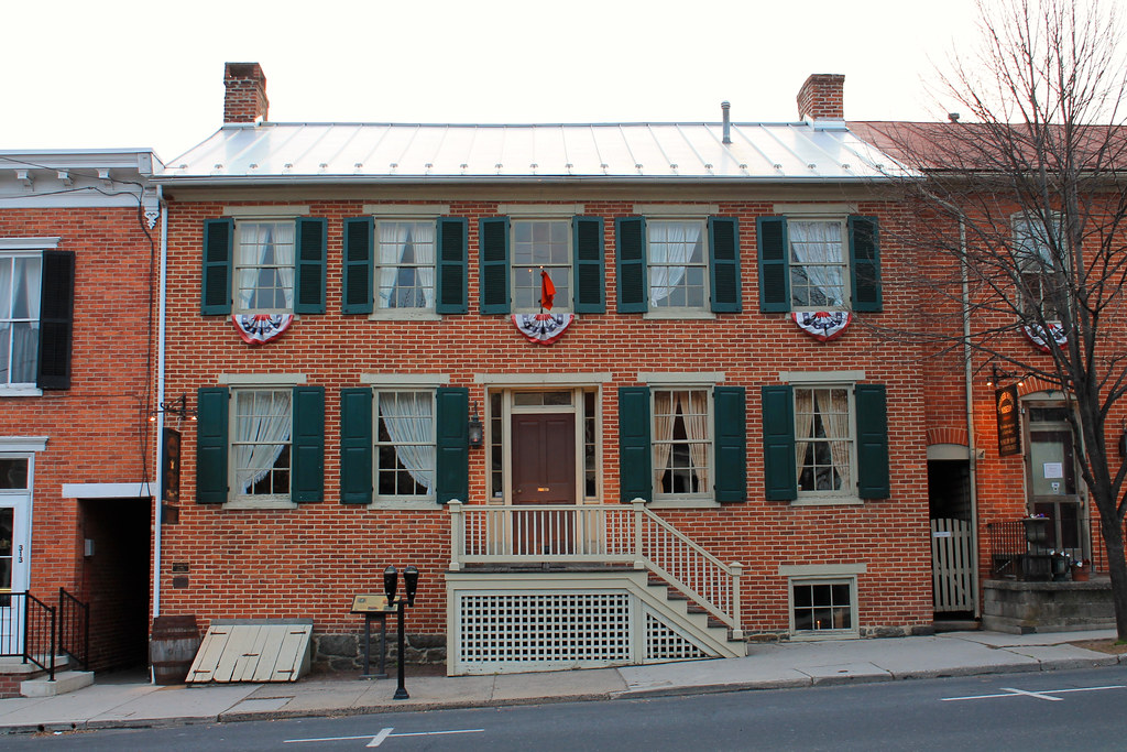
46 Chambersburg Street
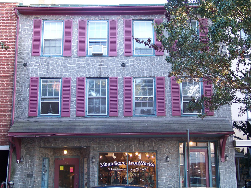 46 Chambersburg St.
 by
jmd41280, on Flickr
View of Gettysburg from Culp's Hill on the battlefield
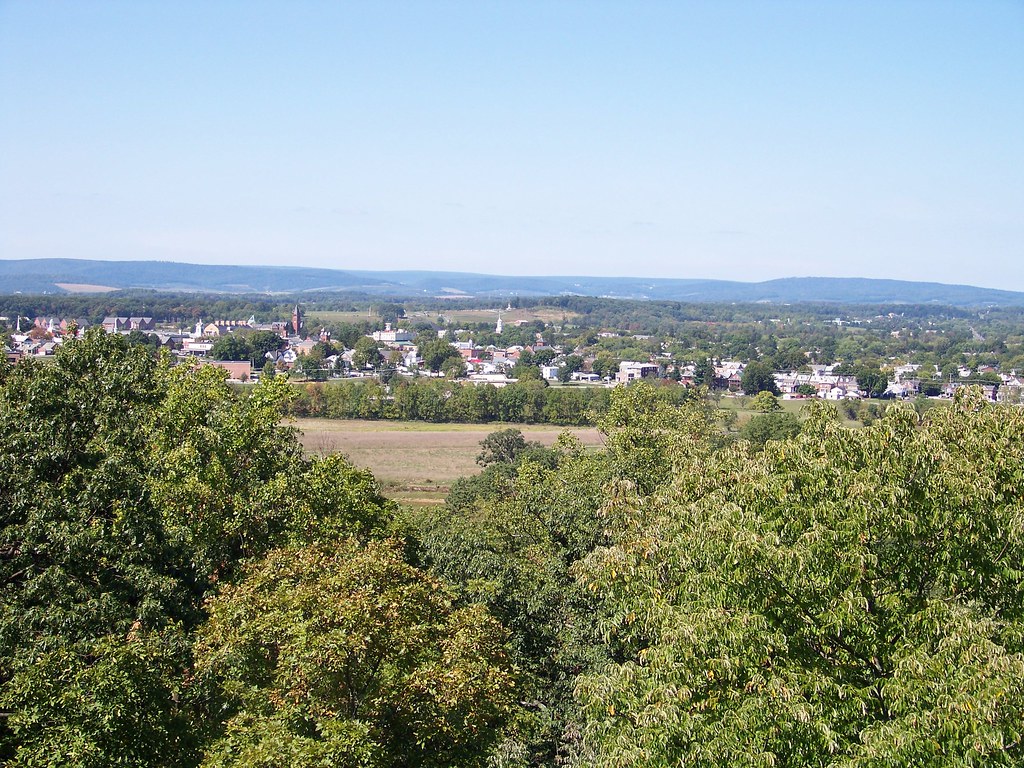 Gettysburg from Culp's Hill
 by
jmd41280, on Flickr
Dobbin House Tavern, built in 1776 and now serving as a restaurant
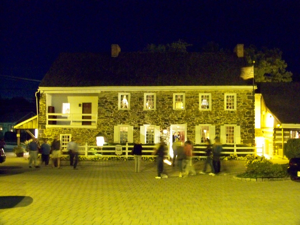 Dobbin House
 by
jmd41280, on Flickr
The Adams County Courthouse, built in 1858
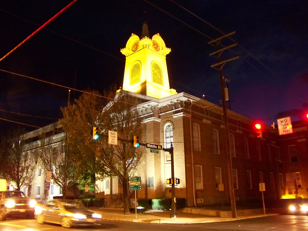 Adams County Courthouse
 by
jmd41280, on Flickr
Sunset over downtown Gettysburg
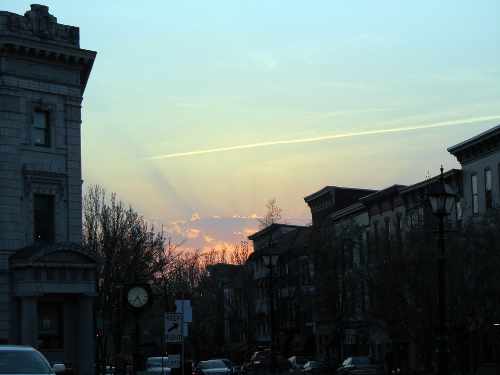 Gettysburg at Sunset
 by
jmd41280, on Flickr
York Road (Lincoln Highway) eastbound, as it enters the commercial strip east of town
 US 30 (York Rd) eastbound
 by
jmd41280, on Flickr
Quite a different scene on the Lincoln Highway west of town
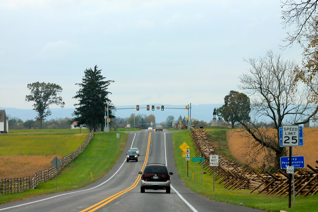 US 30 approaching McPherson Ridge - Gettysburg, PA
 by
jmd41280, on Flickr
The Flag flies high over town
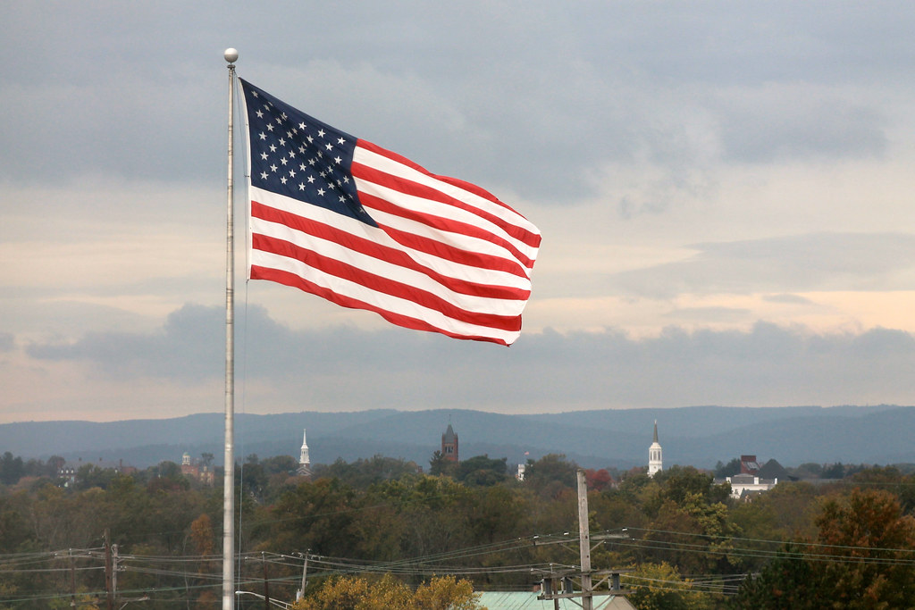 Flag over Gettysburg
 by
jmd41280, on Flickr
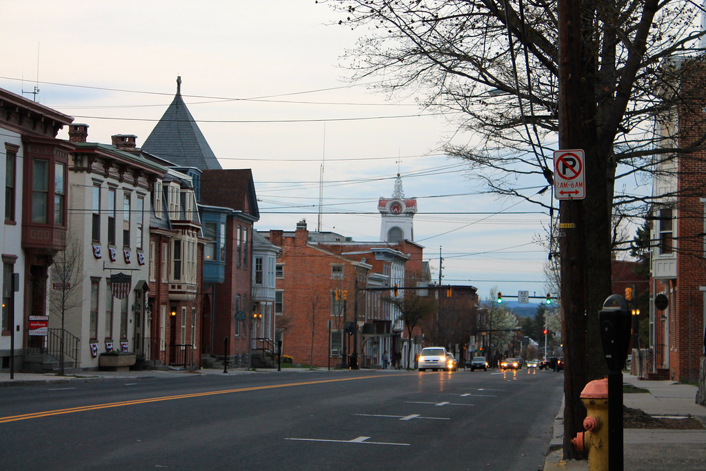
Approaching Lincoln Square in the center of town
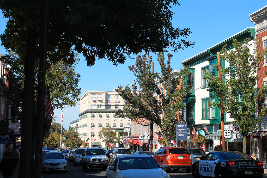 Approaching Lincoln Square - Gettysburg, PA
 by
jmd41280, on Flickr
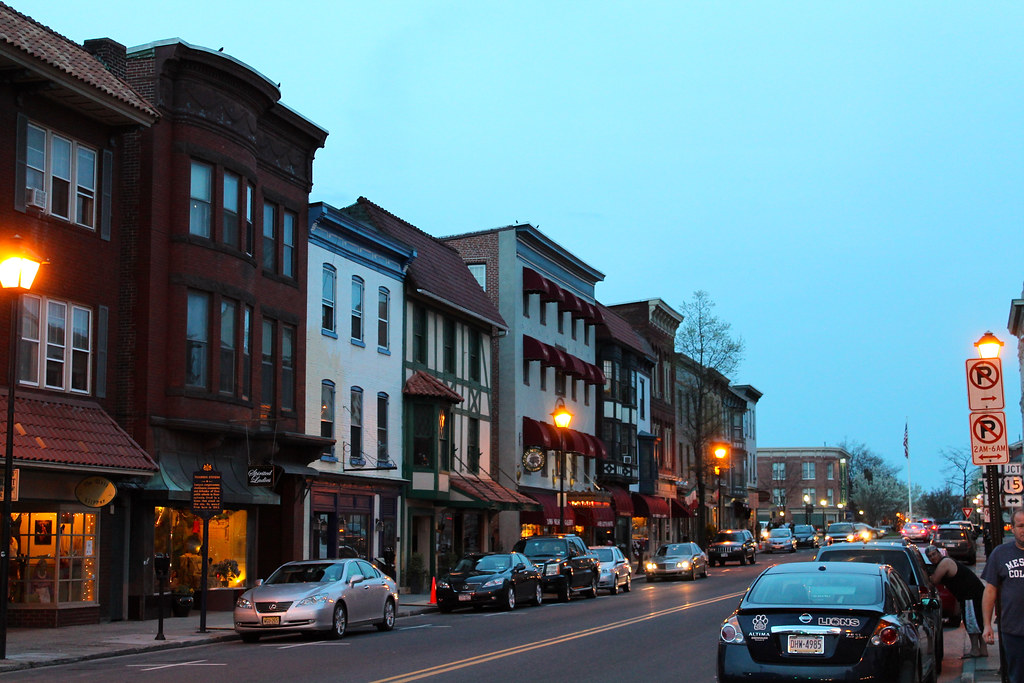
Another view of downtown Gettysburg
 Downtown Gettysburg
 by
jmd41280, on Flickr
Overlooking the battlefield from Little Round Top
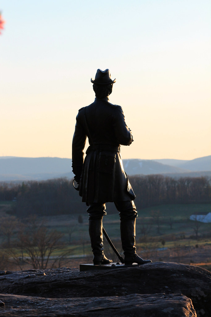 Atop Little Round Top - Gettysburg, PA
 by
jmd41280, on Flickr
From the observation tower on Culp's Hill, you can see the tower of the Lehigh Cement Plant in Union Bridge, MD, which is 18 miles away as the crow flies
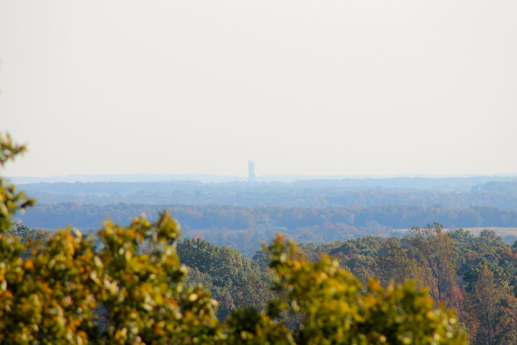 Lehigh Cement Plant tower (Union Bridge, MD), as seen from Culp's Hill in Gettysburg, PA
 by
jmd41280, on Flickr
Approaching Lincoln Square from the west. The Gettysburg Hotel (established in 1797, current building built in the 1890s) is at the center of the photo
 Evening in Gettysburg
 by
jmd41280, on Flickr
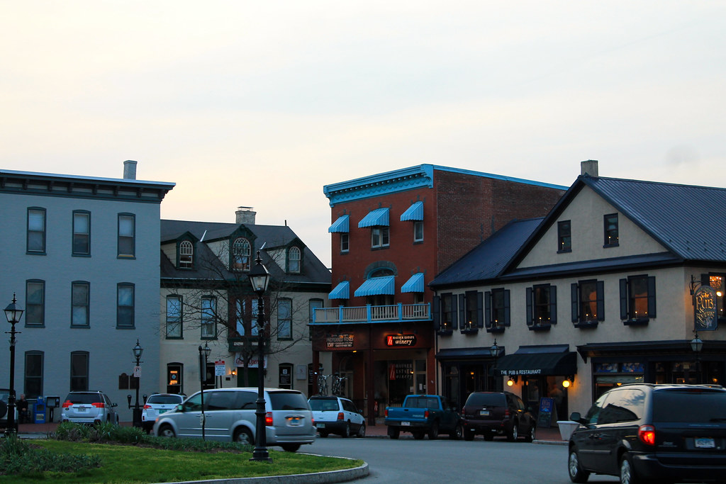
Evening scene along Chambersburg Street (Lincoln Highway)
 Evening in Gettysburg
 by
jmd41280, on Flickr
Steinwehr Avenue, which is the main tourist area in town. It is lined w/ t-shirt shops, wax museums, and souvenir shops. It is the main north-south road between the center of town and the battlefield.
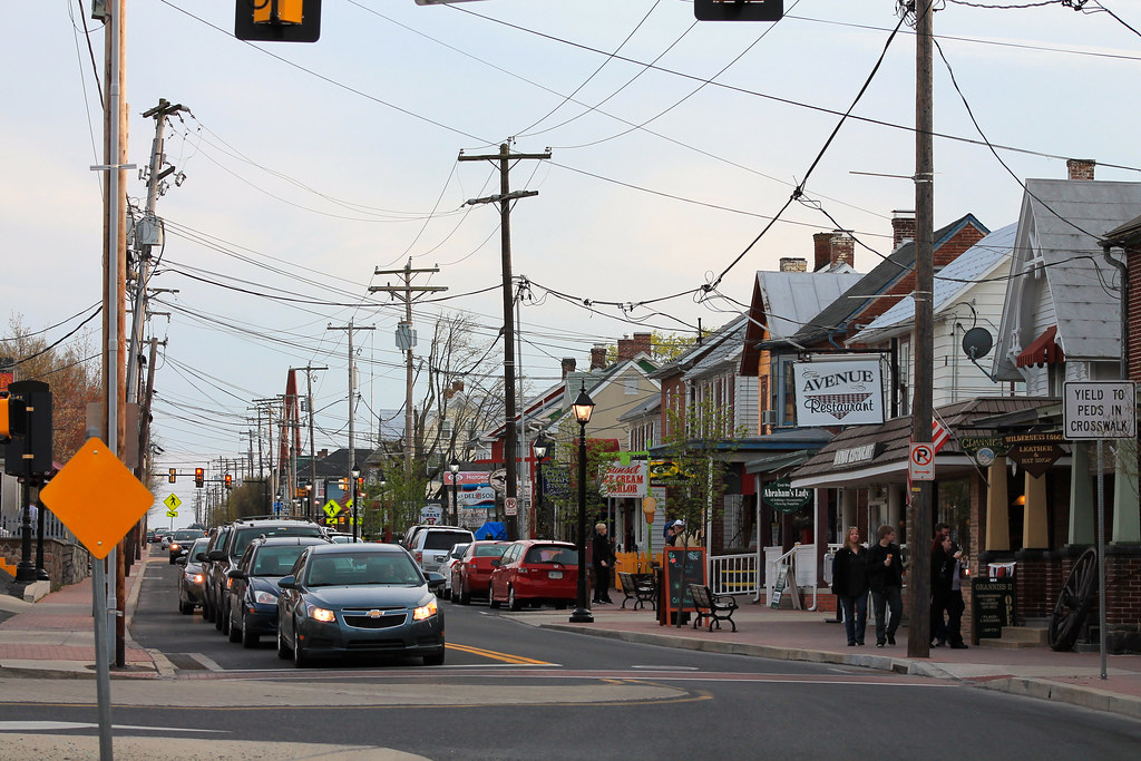 IMG_7172
 by
jmd41280, on Flickr
Spring in downtown Gettysburg
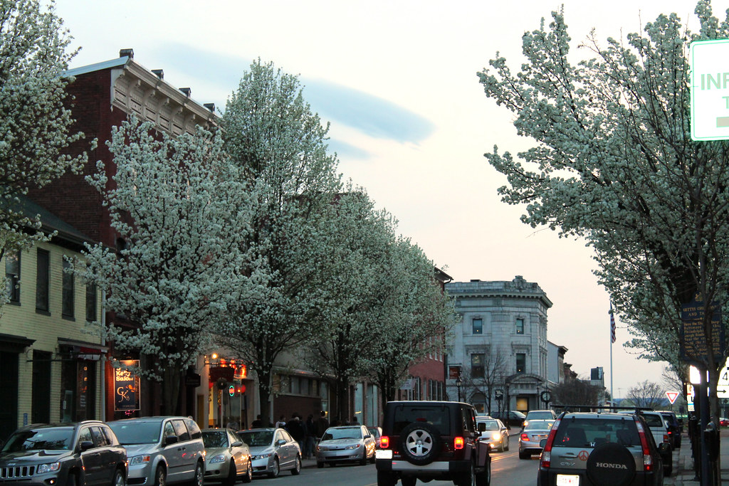 Spring in Gettysburg
 by
jmd41280, on Flickr
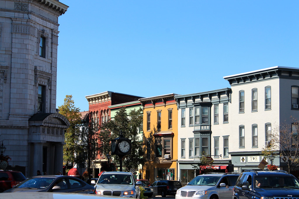
Lincoln Square scene
 Lincoln Square - Gettysburg, PA
 by
jmd41280, on Flickr
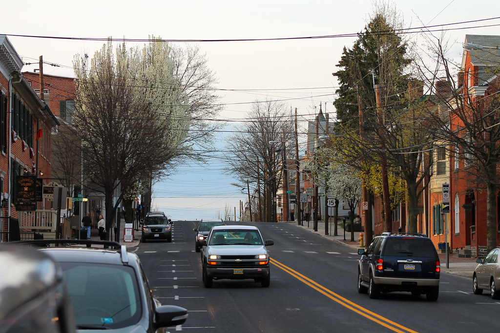
Baltimore Street, which is the main north-south street that intersects the Lincoln Highway at Lincoln Square
 Baltimore Street - Gettysburg, PA
 by
jmd41280, on Flickr
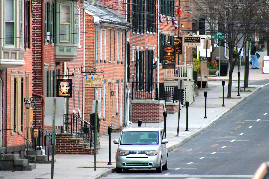
The Shriver House, built in 1860, now serves as a museum of the civilian experience of the Battle of Gettysburg
 Shriver House - Gettysburg, PA
 by
jmd41280, on Flickr
Baltimore Street scene
 Baltimore Street - Gettysburg, PA
 by
jmd41280, on Flickr
Baltimore Street scene
 Baltimore Street - Gettysburg, PA
 by
jmd41280, on Flickr
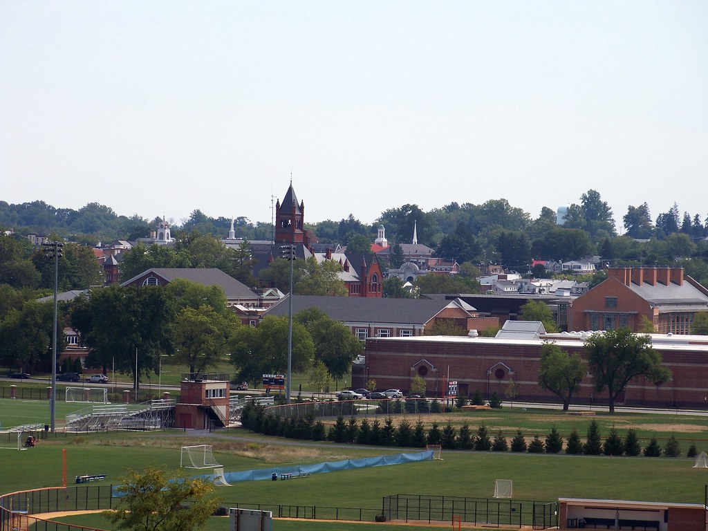
Gettysburg College
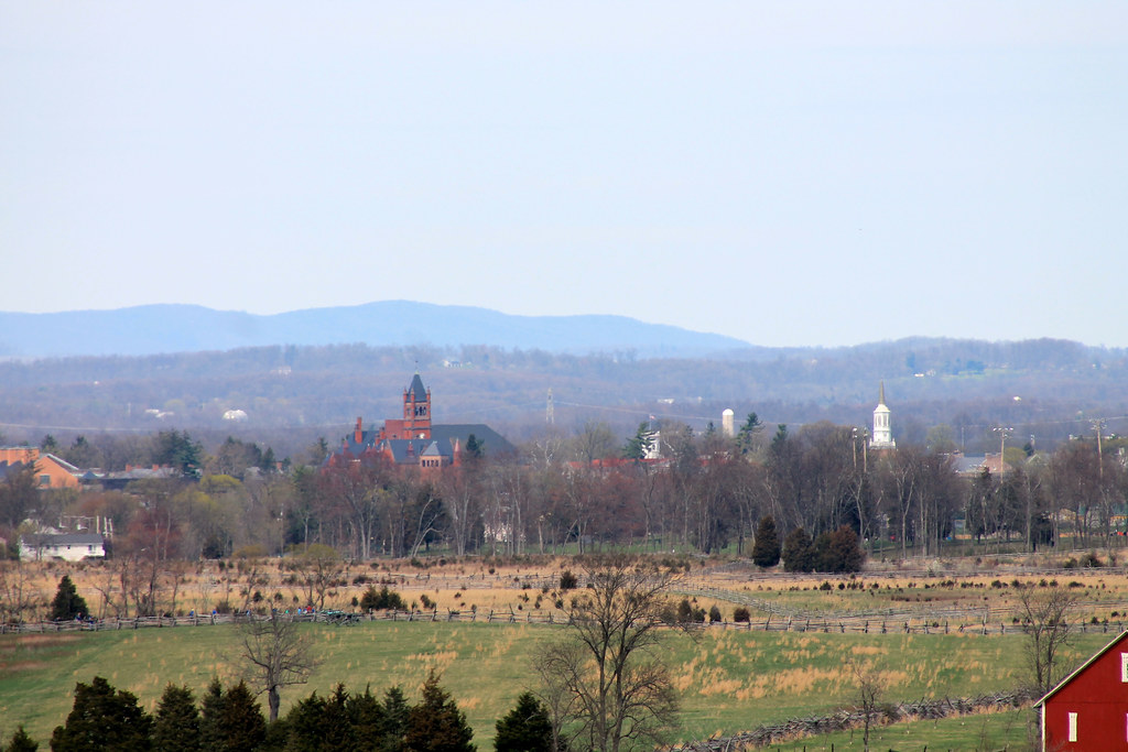 Gettysburg College from Seminary Ridge - Gettysburg, PA
 by
jmd41280, on Flickr
Pennsylvania Memorial and Big Round Top on the battlefield
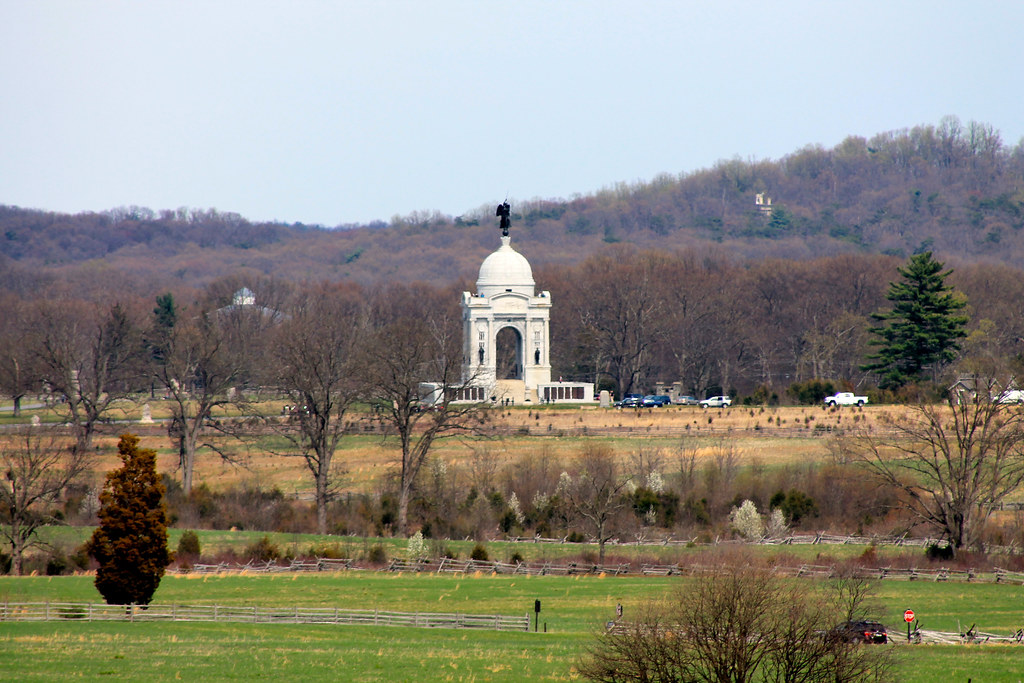 Pennsylvania Memorial and Big Round Top from Seminary Ridge - Gettysburg, PA
 by
jmd41280, on Flickr
From the observation tower on Culp's Hill, you can see Sugarloaf Mountain in Maryland on a clear day. It is roughly 40 miles away as the crown flies.
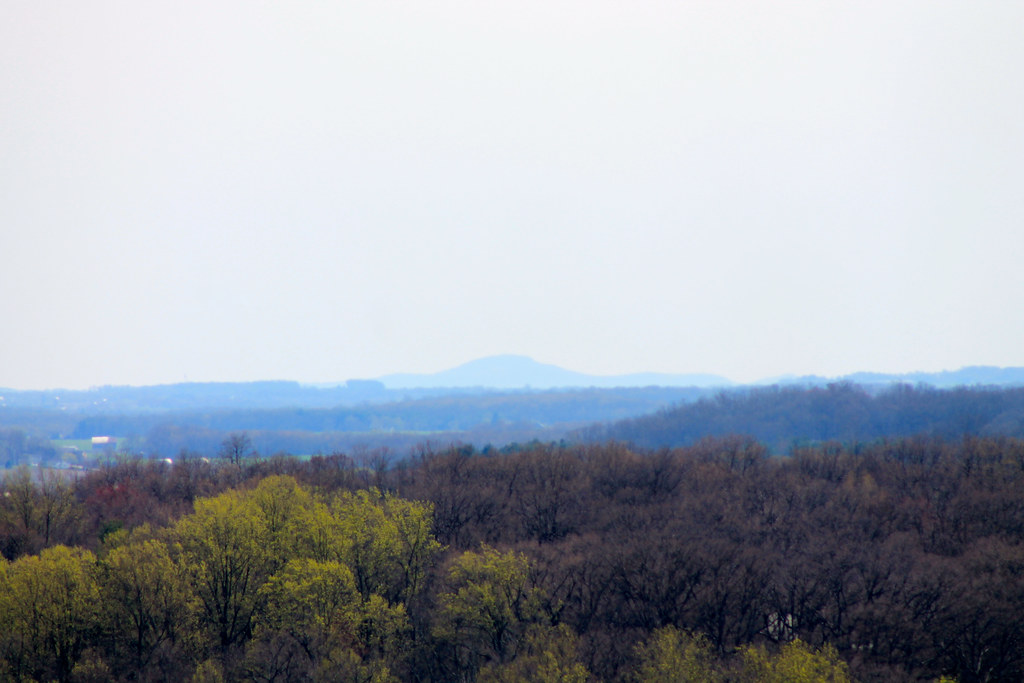 Sugarloaf Mountain (MD), as seen from Culp's Hill - Gettysburg, PA
 by
jmd41280, on Flickr


 Linear Mode
