Quote:
Originally Posted by colemonkee

That's gonna dwarf those other buildings nearby. This looks like it's being built on former farm land, but surrounded by highrises. Very interesting juxtaposition.
|
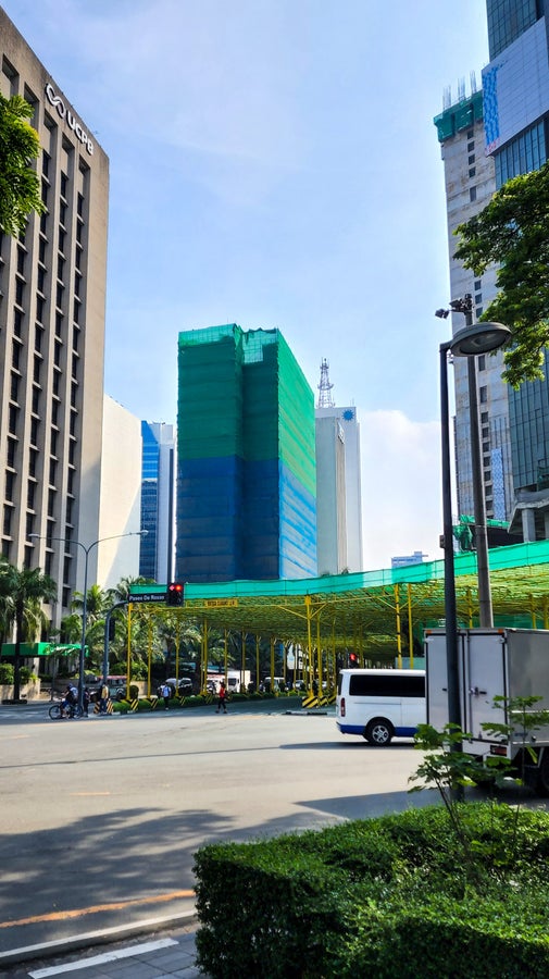
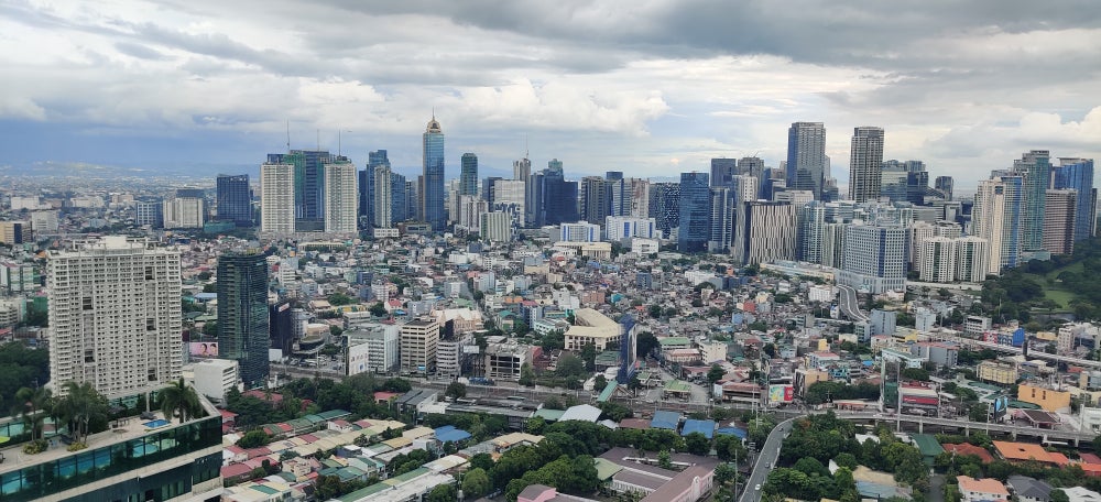
Indeed. The area used to be a swampland actually, then the Americans turned it into an army camp called Fort McKinley during the American colonial era. Then it was renamed Fort Bonifacio when the Philippines gained independence from the US in 1946.
Starting around the mid 90's the area was redeveloped into the metro's third main central business district. The developed area of
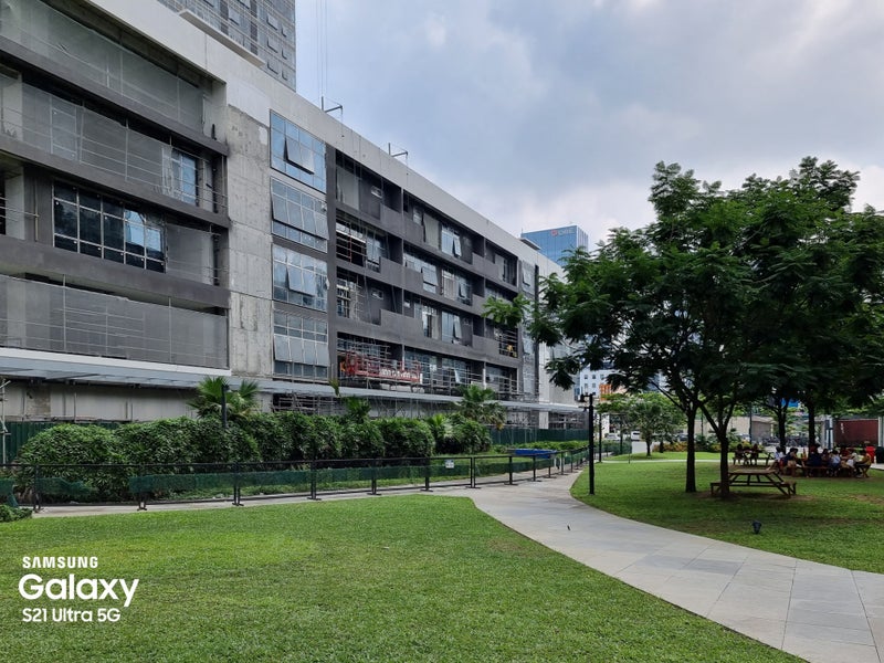
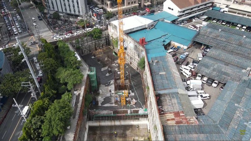
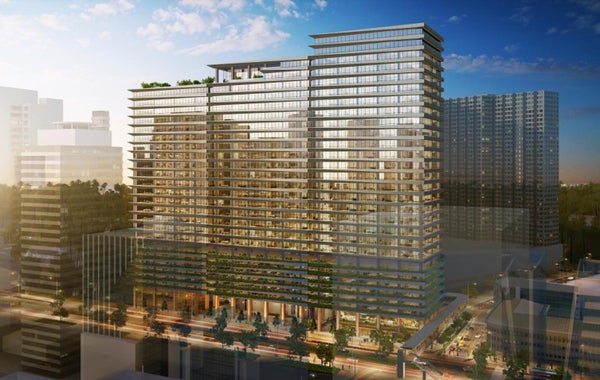
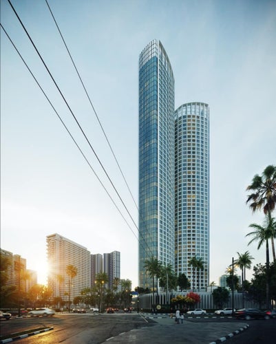
BONIFACIO central business district is now as big as the Financial District of San Francisco. But as you can see in the photo and in the video below, the area can still accommodate more density.
The rotunda on the lower left corner of that photo lies at the entrance to Manila American Cemetery, the largest US military cemetery outside the US, containing remains of American and Filipino soldiers who fought the Japanese in the Philippines during WWII.
Here's a recent video of
BONIFACIO by
My Perspectives:
• Video Link
1:21 shows the Uptown area, the northern cluster
1:52 shows High Street, the inner core
2:41 shows combined Uptown + High Street clusters
6:13 Manila American Cemetery


 Prev
Prev


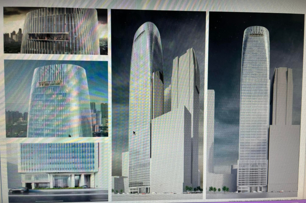
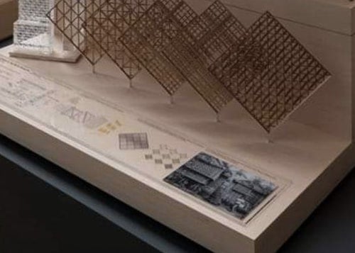
 I remember chatting with him when he presented his design for Transbay Tower at San Francisco's City Hall years ago.


 Linear Mode
