Boston has a strong waterfront scene as it has rivers, canals, and a harbor with a bunch of small islands. It has a long interconnected "harbor walk" area, city beaches, river walks, etc. There are a ton of peninsulas for miles to the north and miles to the south, all forming Boston harbor, most with public parks and skyline views at the end.
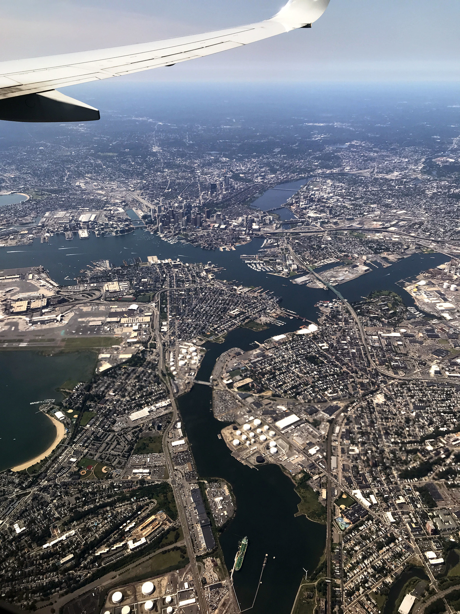 Downtown Boston from the air approaching Logan
 by
Steam Pipe Trunk Distribution Venue, on Flickr
Note the skyline-stunting airport off to the right.
 Boston
 by
white star limited, on Flickr
Google Earth view showing all the surrounding islands and peninsulas. Continue North for world class beaches at Gloucester and Cape Ann. Continue South for world class beaches on Cape Cod.
 Boston Aerial - Google Earth
 by
David Z, on Flickr