Quote:
Originally Posted by ethereal_reality

I looked to see if I could find evidence of that rail spur between 1st and 2nd streets on Alameda....but everything in that vintage photo has disappeared. 

google_earth |
I think you can just still make out the route of the rail spur to the west of Central Avenue, even though the building on the corner of 2nd Street wasn't built until sometime after 1994.
Here's the area on the 1921 Baist map. Alameda is the street with "Southern Pacific" written along it. Follow Alameda to the right and that's north on this map.
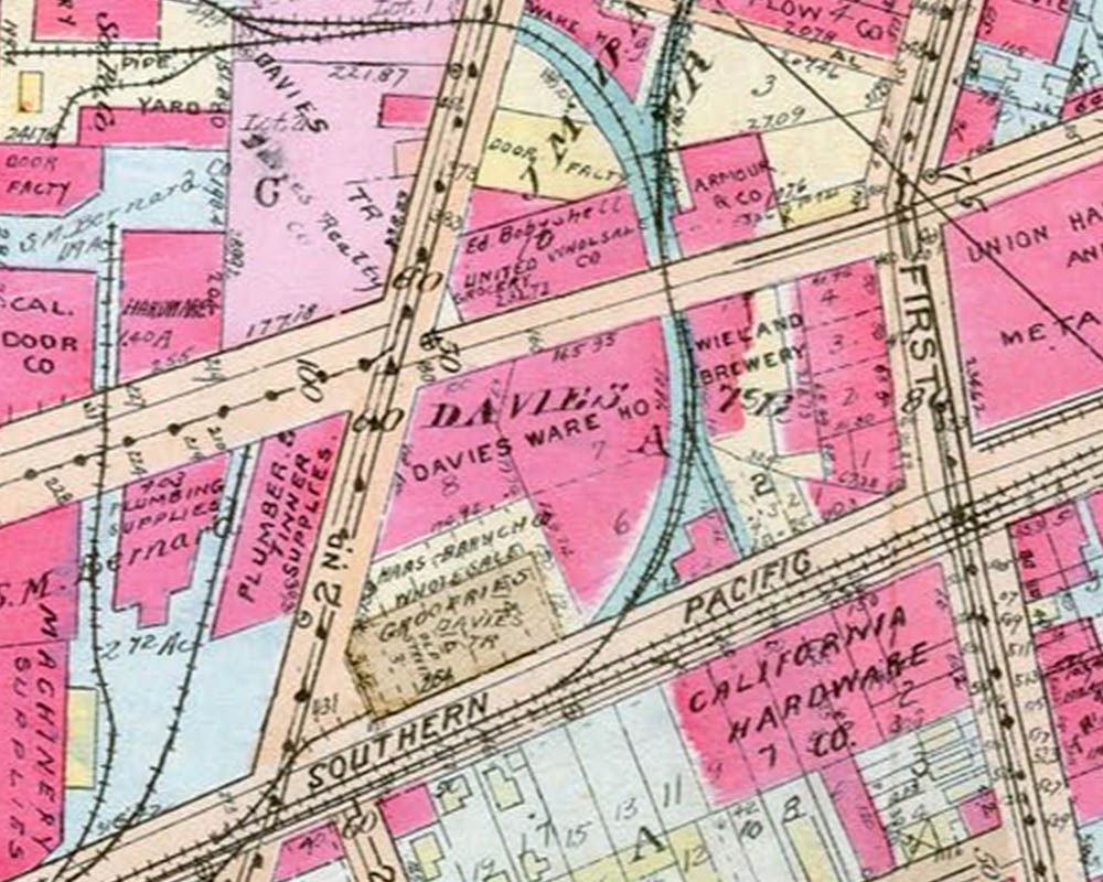 www.historicmapworks.com
The spur route is still easy to see on this 1948 aerial.
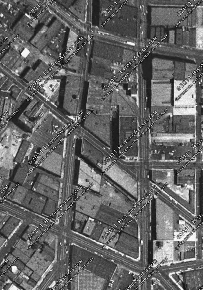
Historic Aerials