Quote:
Originally Posted by ethereal_reality

posted earlier by Flyingwedge.
"  "
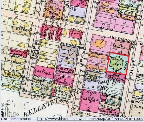
I am surprised the rather large building between the Fremont Hotel and the Trenton is labeled 'Health Department'.
I thought this was the Olive Street School.
__ |
Wow, good memory
er!
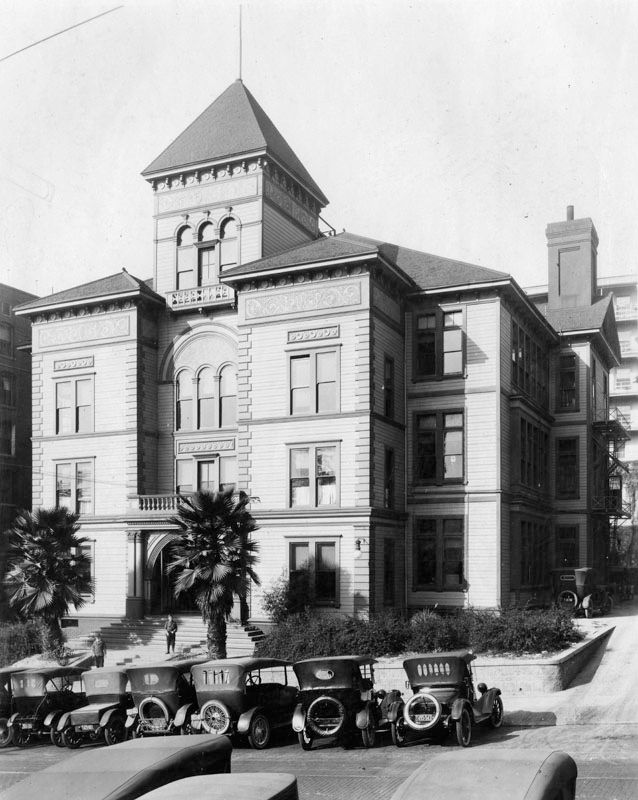
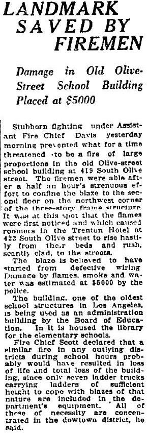
Olive St. School building, c. 1920:
LAPL --
http://jpg3.lapl.org/pics13/00026015.jpg
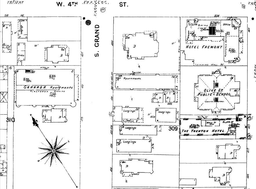
The 1914 and 1921 Baist Maps show that property as the Health Department, but earlier maps, such as this 1906 Sanborn Map, confirm that it was the Olive Street School:
LAPL
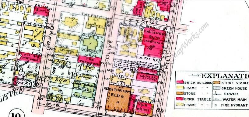
1910 Baist Map; the future Sherwood Apts site on Grand is marked "Not Finished":
HistoricMapworks --
http://www.historicmapworks.com/Map/US/19472/Plate+007/
The Olive Street School is referred to as Board of Education property as late as 1922, so that "Health Department" label on the 1914 and 1921 Baist Maps could be incorrect:
Los Angeles Times, Oct 31, 1922
Quote:
Originally Posted by MichaelRyerson
 The lost foundations of 431 South Grand Avenue, ca.1910 (3)
A man test driving the Lansden Electric truck on Grand Avenue in Los Angeles. And one last look at our electric truck road test (I'm sure the grade was the point) passing the abandoned construction at 431 S. Grand Avenue. In this shot we get another glimpse of the Engstrum plus the added attraction of the spire on the State Normal School.
Southern California Edison Photographs and Negatives, Huntington Digital Archive
|
1888 Sanborn, west side of Grand between 4th and 5th:
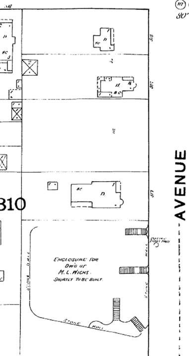
LAPL
M. L. Wicks was trying to develop Port Ballona around this time and also apparently running out of money:
http://bigorangelandmarks.blogspot.c...residence.html
1894 Sanborn, west side of Grand between 4th and 5th:
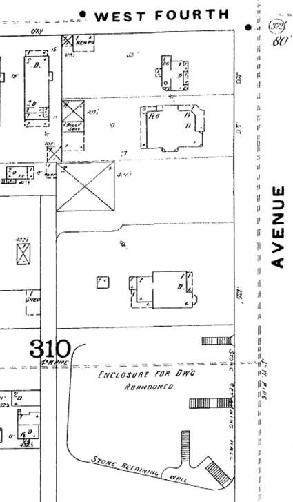
LAPL