Here's a couple of historic maps I thought were cool.
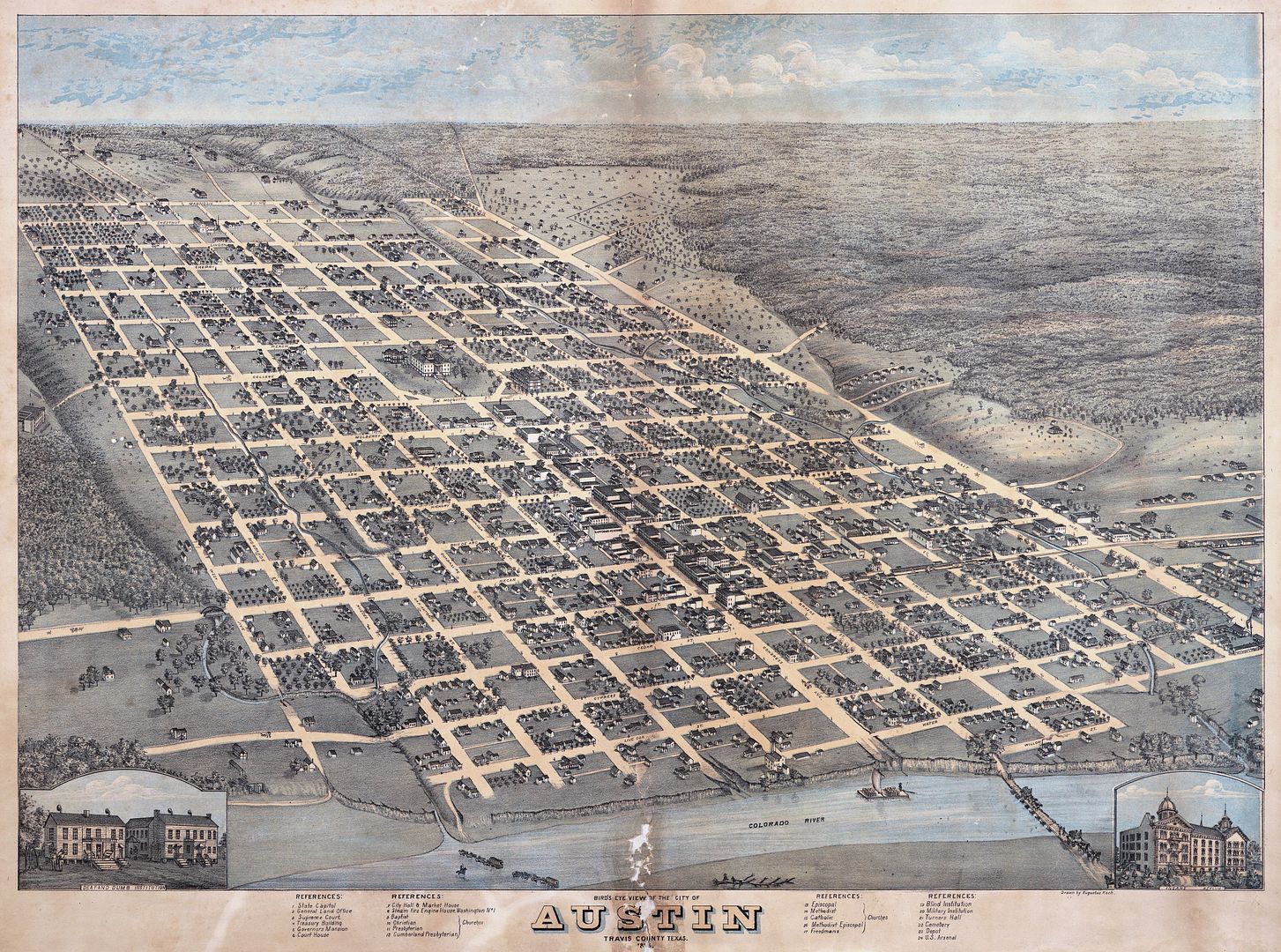
I found the one above at
http://www.judegalligan.com
You can
go here to view the above map and then click on the image to zoom in a lot further.
The second map is from about 1890-1895
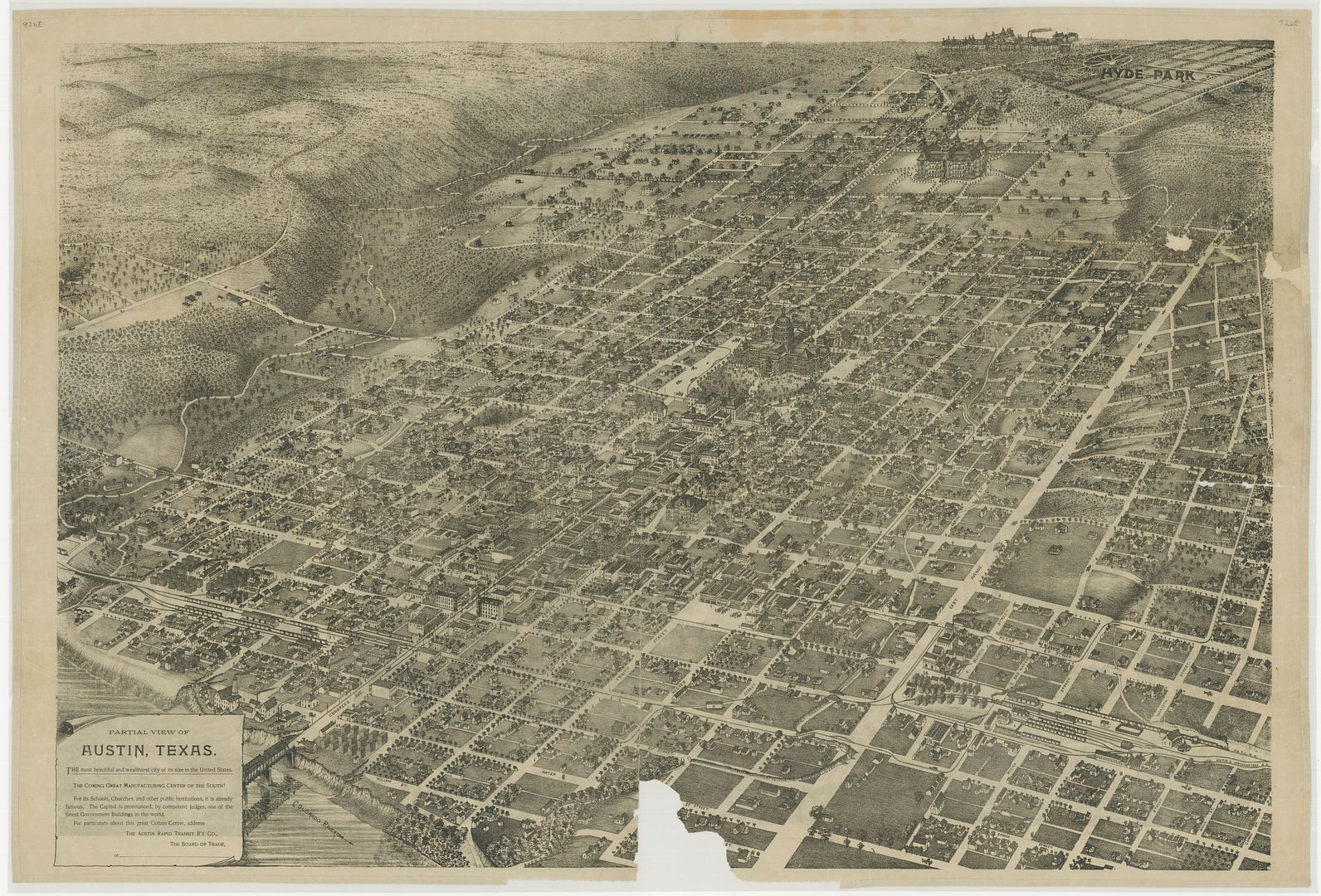
This one is from the Texas State Library
Go here to see this map, then click on the image to enlarge it a lot further, too.
Both maps were when the E-W streets were named after trees and they go all the way up to Magnolia St. (19th St, now MLK).
The detail on the larger versions of both maps is amazing.