Quote:
Originally Posted by ethereal_reality

|
Looking at Historic Aerials, I'd say the picture was probably taken on what-is-now N Soto Street, roughly level with the top of Lincoln Park. The 1948 image below shows how the PE tracks and the roadway split apart at this location.
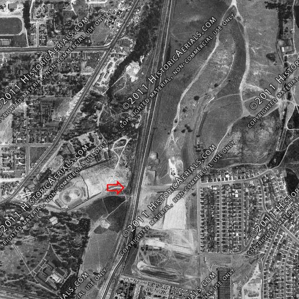
Historic Aerials
The view below was taken with the Googlemobile near Multnomah Street. If I'm right about the location, the hill on the left is the one in the vintage picture, although very little else is recognizable.
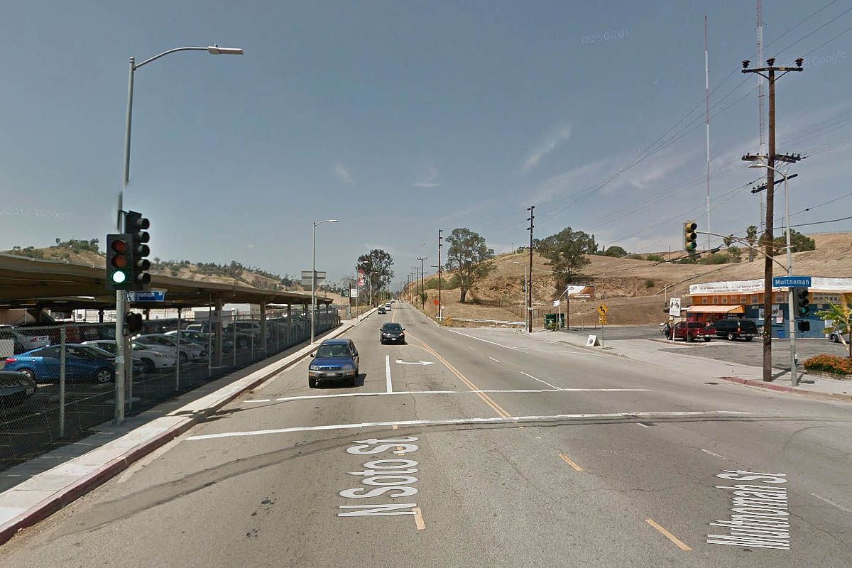
GSV